COLERIDGE WAY
Stage 3: Roadwater to Cutcombe
Friday, October 5, 2018
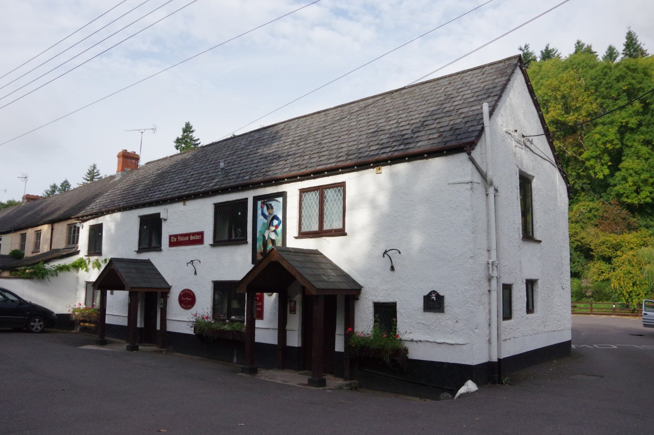
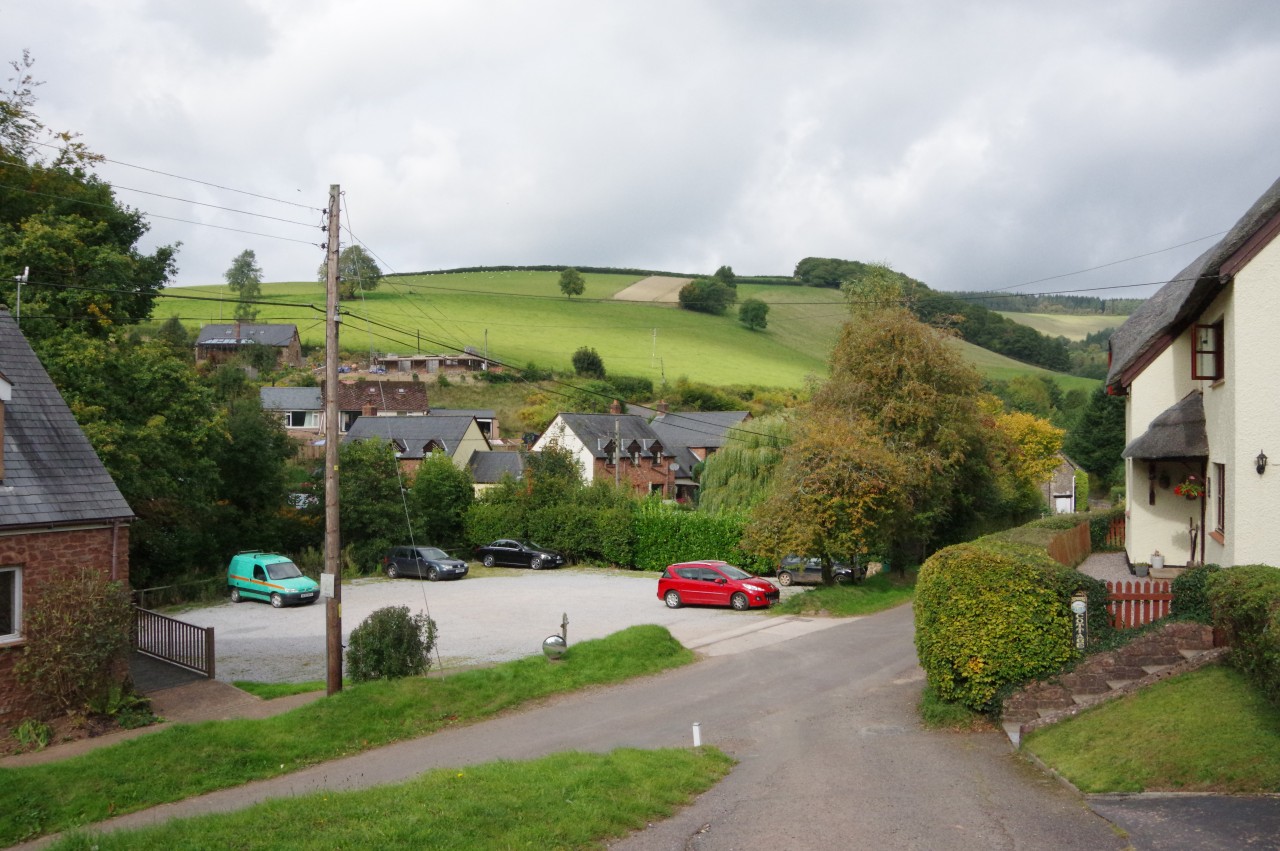
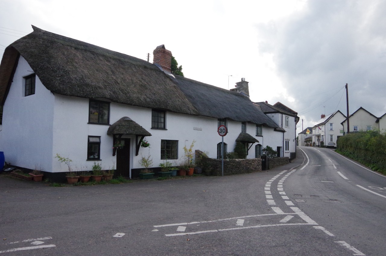
(1) The Valiant Soldier, Roadwater
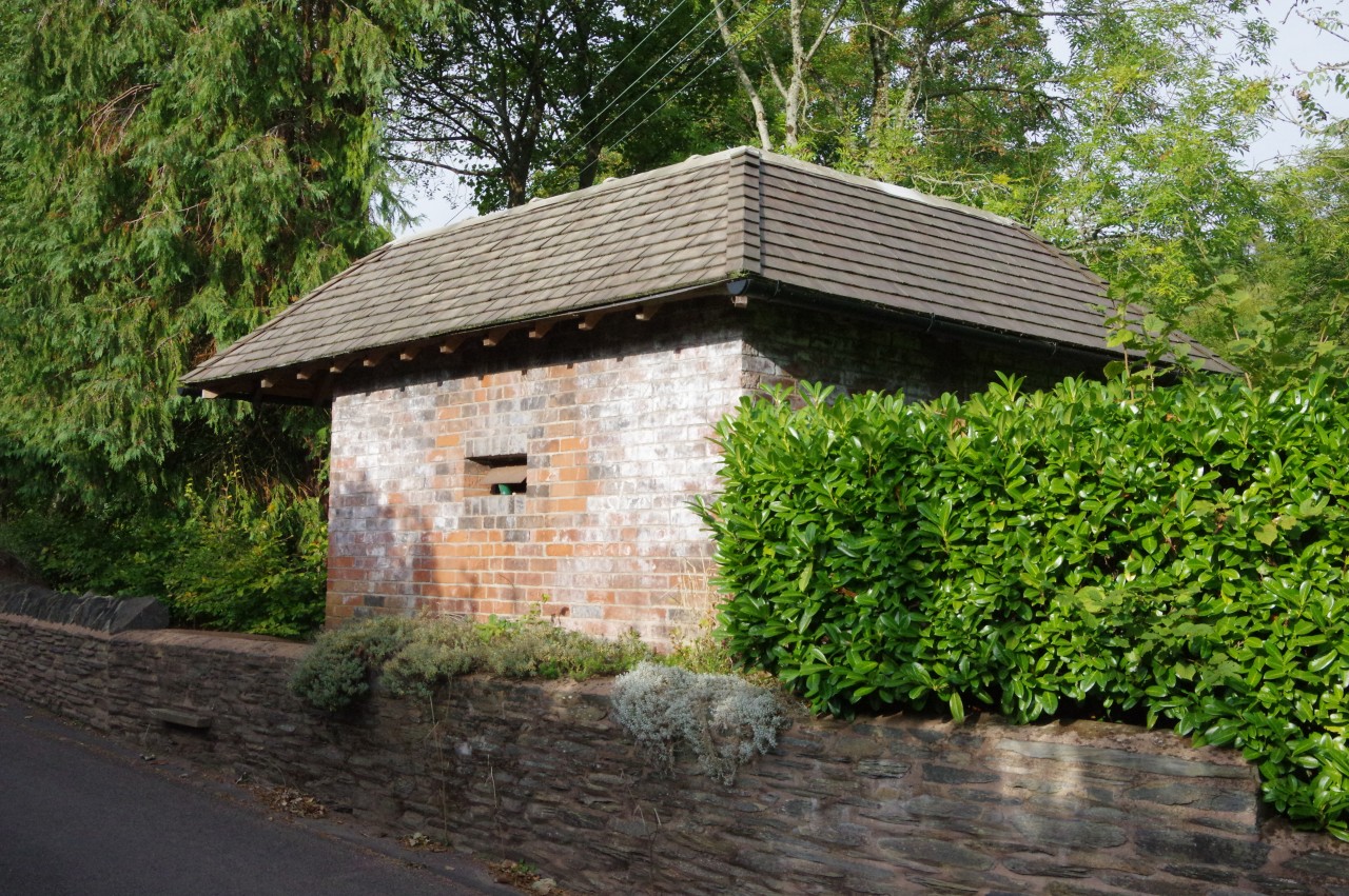
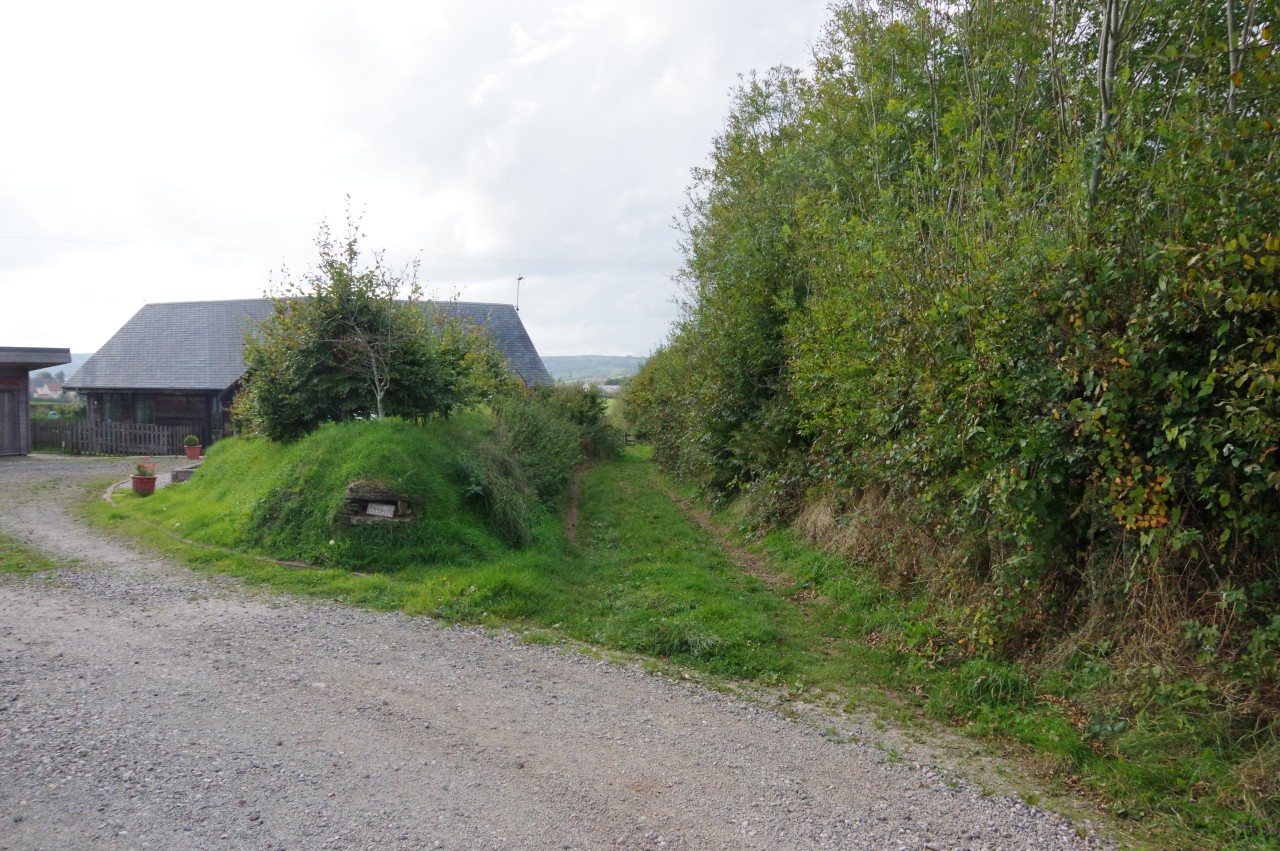
(2) Disguised pillbox
(3) Glasses Farm
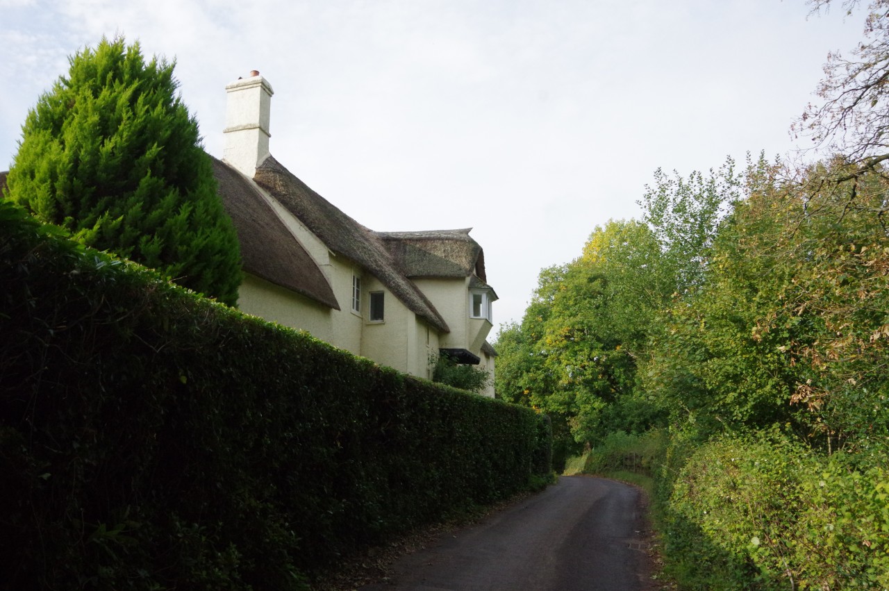
(4) Peterswell Lake Cottage
It was very quiet in the Valiant Soldier when I came downstairs for a slightly late breakfast at nine o'clock. This was in contrast to the previous evening, when the eighteenth-century pub had been very lively with a pub quiz, board games, and skittles in the pub's own old-fashioned skittle alley. It had been well after midnight when the last of the locals headed out into the still, dark night and I had finally retired to bed, so perhaps it was fortunate that I only had a moderate distance to walk today.
After an excellent full English breakfast and what might be considered an excessive number of cups of coffee, I left the Valiant Soldier just after ten. I didn't have far to go to rejoin the Coleridge Way — all I had to do was walk outside the pub (picture 1) and turn right.
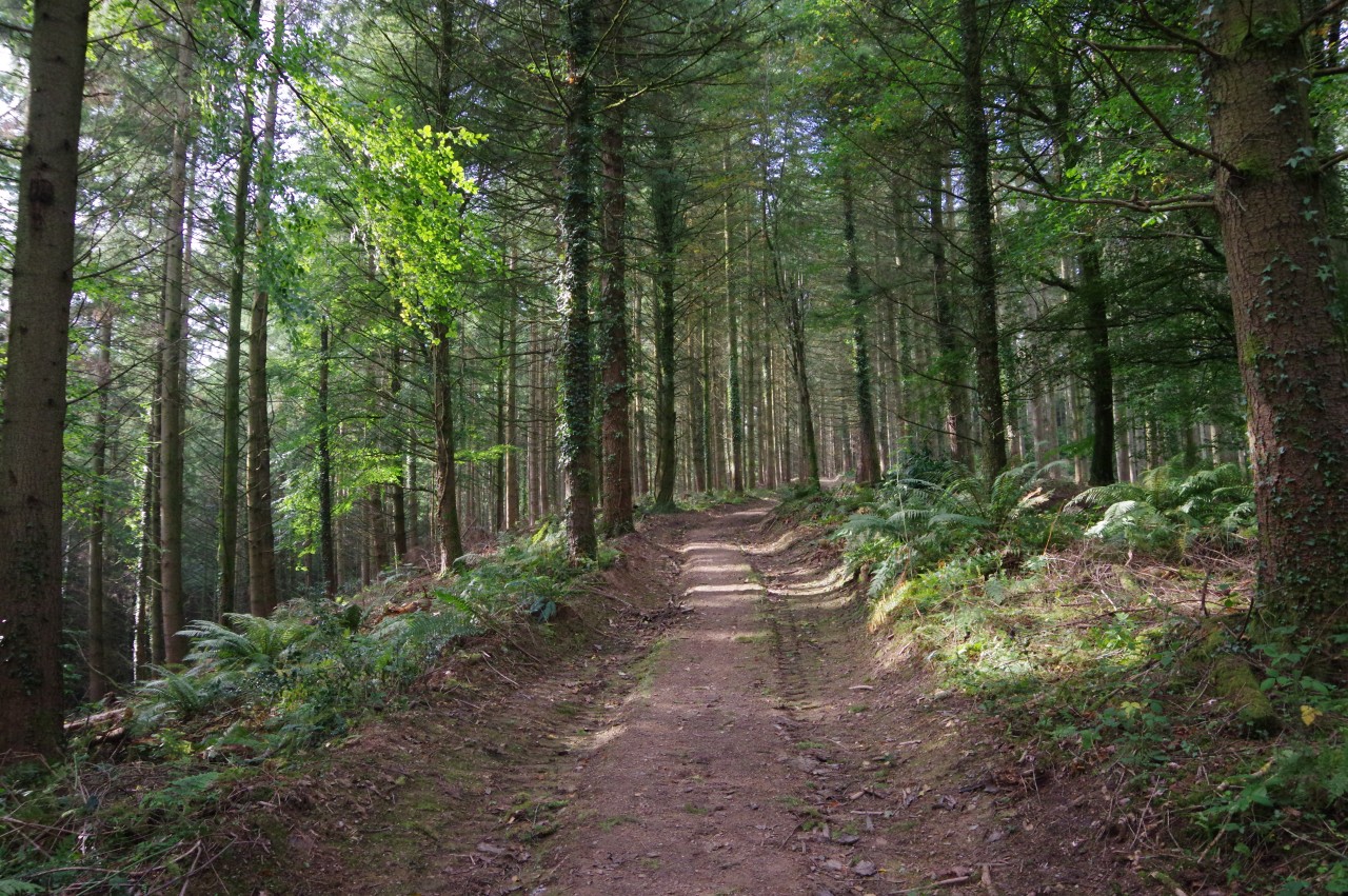
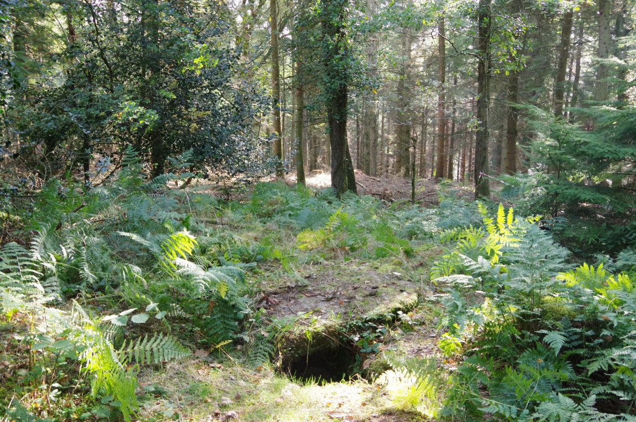
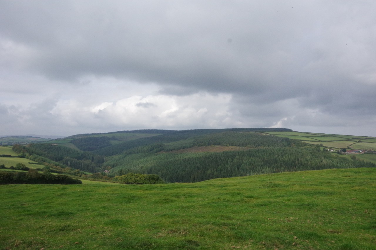
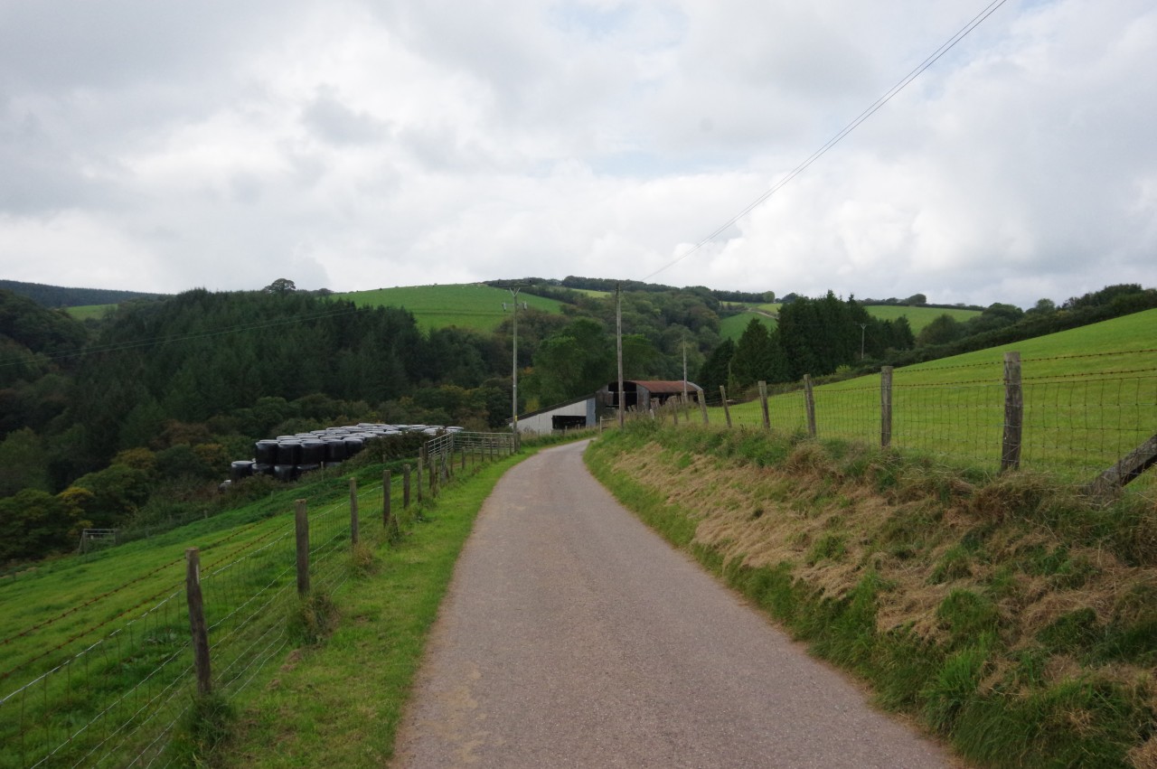
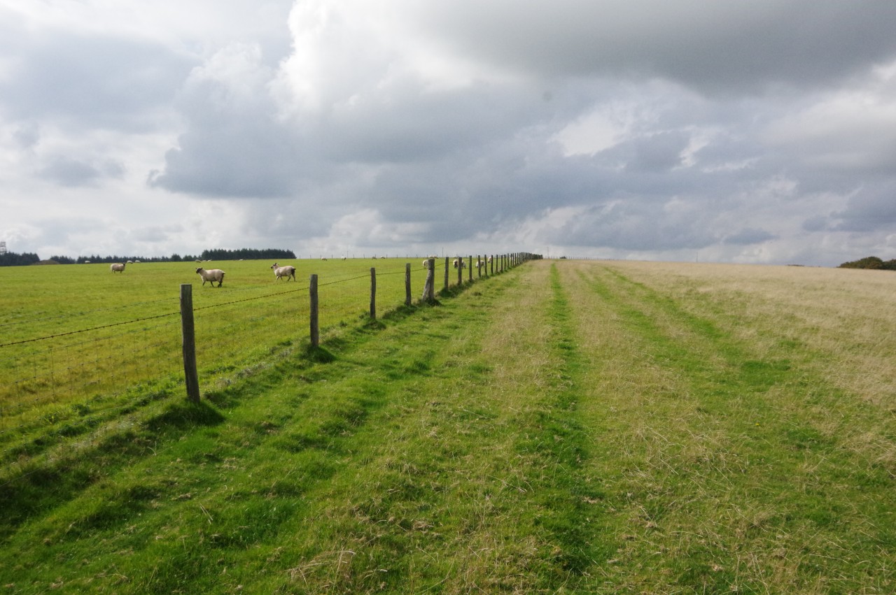
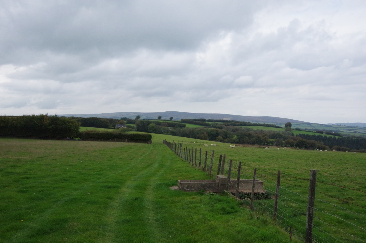
The Way follows the quiet road out of Roadwater, heading up the Washford Valley with the river bubbling away just over to the right. Within a few minutes walk, the road passes a World War II pillbox that was cleverly disguised to look like a garden shed from above (picture 2).
The road forks not far beyond the pillbox and the Way goes right, sticking to the valley road, which passes between Glasses Farm on the left (picture 3) and Vale House on the right. The Ordnance Survey shows a dozen ponds beside the road beyond Vale House and I was curious about the purpose of them, but it turned out that they were hidden from the road by a hedge and trees lining the next stretch of the road, so the ponds remain a mystery to me.
The Way ignores the first track on the left, instead following the road into Langridge Wood until it dips into a sheltered combe to find the next footpath on the left, leaving the road opposite Peterswell Lake Cottage (picture 4).
(5) Langridge Wood
(6) Langridge Wood Cist
(7) View towards Treborough Wood
(8) Lower Court Farm
The next kilometre of the Coleridge Way heads through Langridge Wood, which is dominated by tall conifers (picture 5). The wood is criss-crossed by forestry paths, but the route is well-marked by signposts adorned with the feather quill logo.
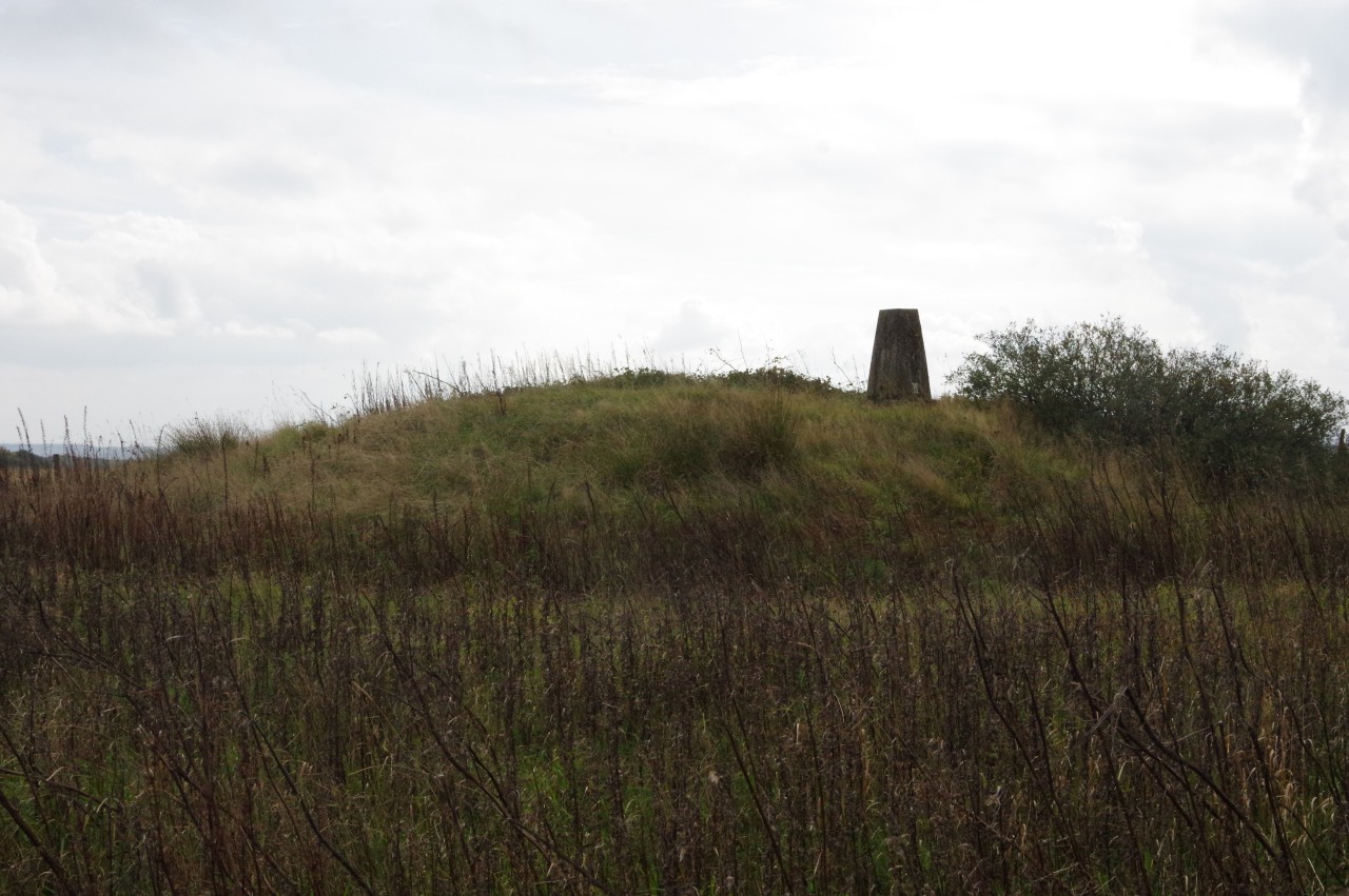
Towards the far side of the wood, a sign on the left indicates a short diversion off the path for the Langridge Wood Cist (picture 6). This unremarkable-looking hole in the ground turns out to be lined with slate slabs and is a site of archaeological interest, having been a Bronze-Age burial place. The cist is part of a larger mound, though this is now difficult to make out as the stone cairn covering it was removed for use in road-building in the early nineteenth-century.
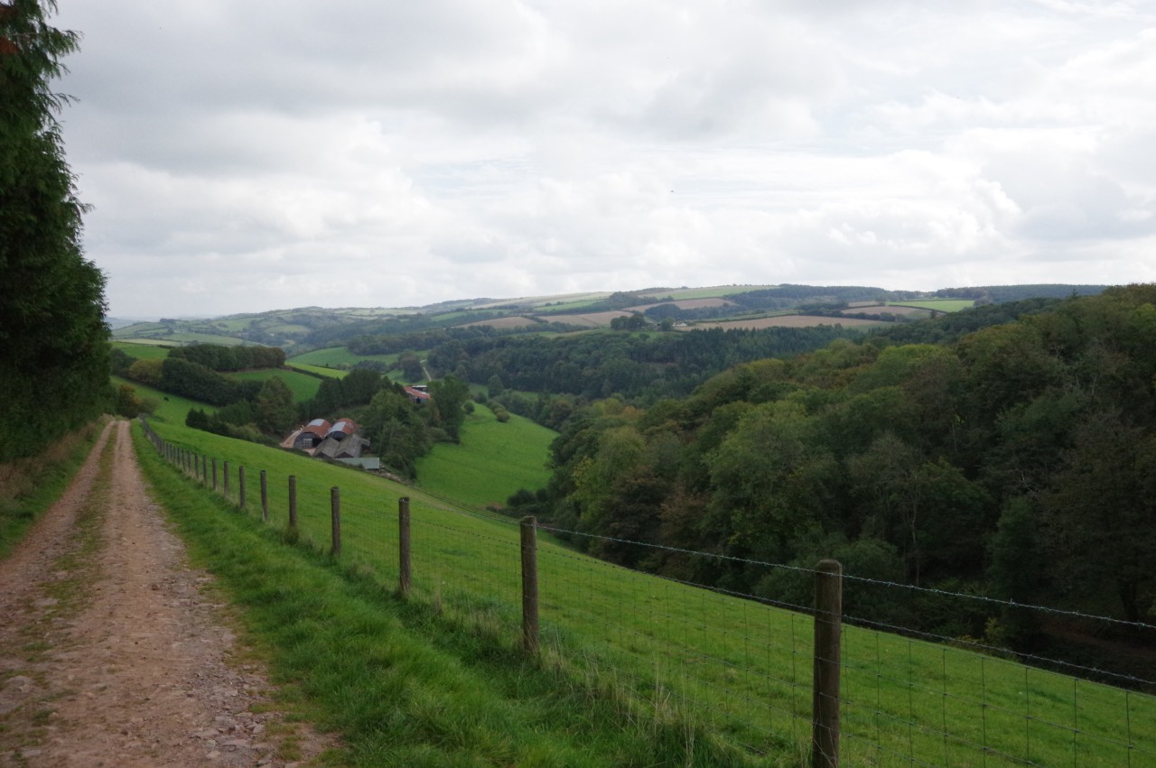
The Way leaves the wood via metal farm gates on either side of an enclosure used for storing hay bales. While following a low wire fence across the top of a steeply-sloping field there are views across a combe partly occupied by Treborough Wood (picture 7). On the far side of the field, the Way crosses a stile (the first one I remember seeing on the trail) and follows a short sunken path amongst trees to emerge on the top edge of another field.
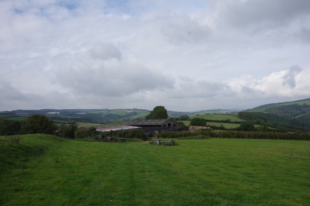
The route continues to follow the high edge of a series of fields, gradually gaining height until exiting a gate by a bend on Treborough Lane. The Way doesn't spend any time on the lane, instead immediately turning right through the next gate and crossing a pasture to head through a band of trees on Lower Court Farm (picture 8).
(9) Druid's Combe
(10) Descending to farm buildings
(11) Path towards Luxborough
(12) Pooltown
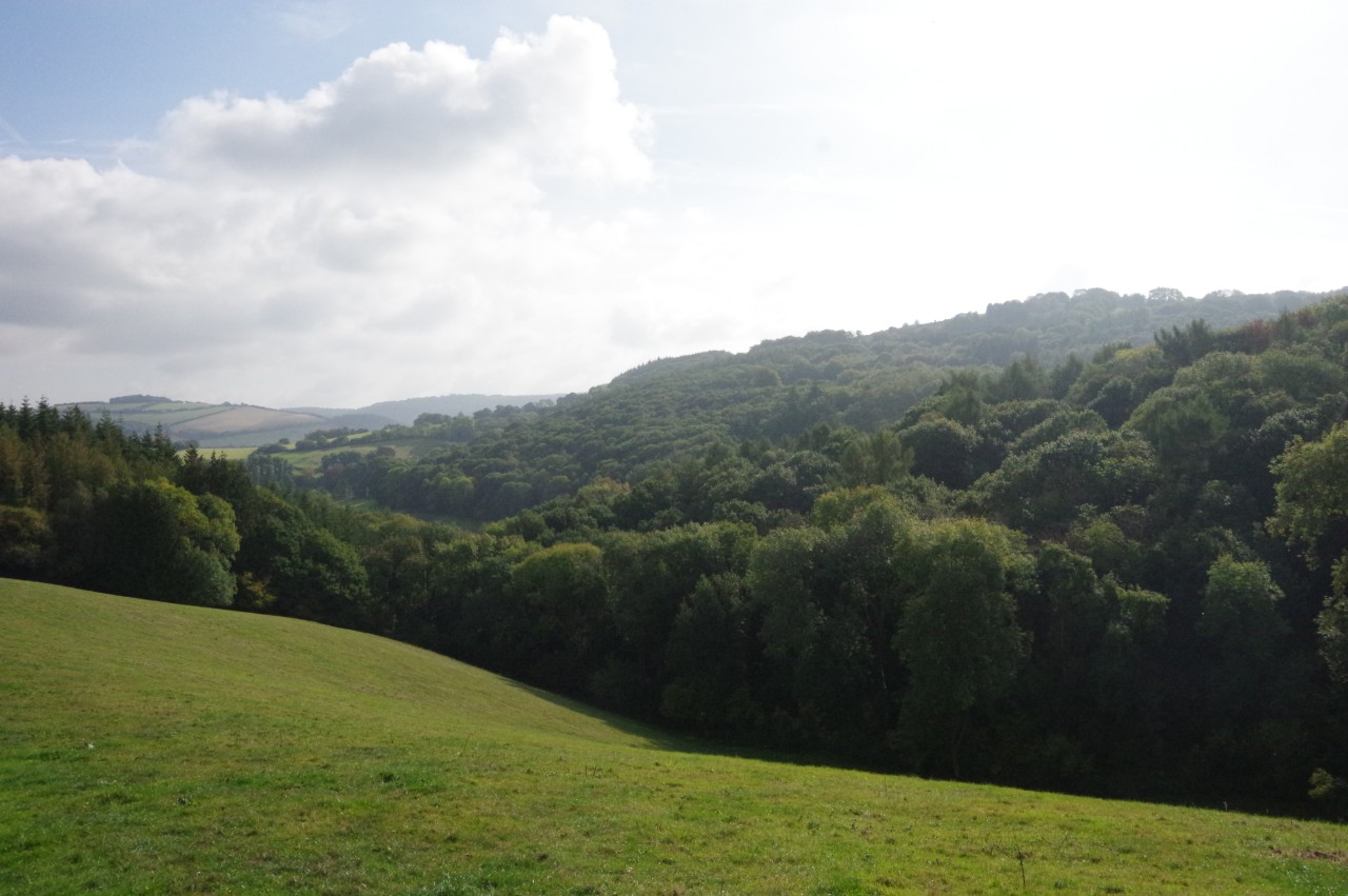
Beyond the trees, the Way turns left through a gate and follows a rough hedgerow across the left side of one field and into the next. Over to the right, one can look down into Druids Combe in the Washford Valley (picture 9).
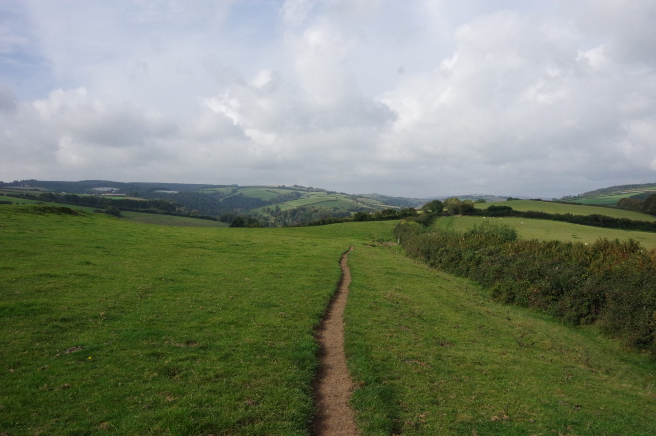
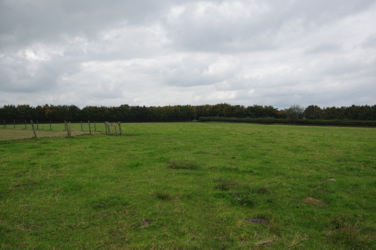
The hedge soon turns away to the left, but the Coleridge Way continues straight ahead down the slope towards a cluster of farm buildings (picture 10). On reaching them, a track skirts around their right side to join a green lane, signposted for Luxborough. The green lane soon peters out and one must walk along the right side of a large pasture (picture 11) to reach a gate where the green lane resumes. This stretch runs alongside several more fields, the last two overlooking the hamlet of Pooltown (picture 12).
(13) Kingsbridge
(14) The Royal Oak, Kingsbridge
(15) Pooltown

(16) Chargot House
When the green lane finally ends beside a stone farmhouse, a driveway leads down into the hamlet of Kingsbridge, where the Coleridge Way makes a sharp left turn by the Luxborough Village Hall carpark (picture 13), heading for the aforementioned Pooltown. (The naming is a little confusing here; the Coleridge Way signposts name Luxborough when they really mean Kingsbridge. Luxborough is actually a small parish containing the three small settlements of Pooltown, Kingsbridge and Churchtown. The latter is another kilometre over to the west and not visited by the Coleridge Way.)
Before continuing along the Way, I walked ahead down Kingsbridge's main street, seeking out the Royal Oak pub (picture 14), where I called in for a pint and a light lunch. The hamlet sits in the upper reaches of the Washford Valley and the infant Washford River flows past the pub and alongside the main street.
Returning from the pub, I followed the road back past the carpark and the Luxborough Village Hall and onward to a right-hand bend on the edge of Pooltown (picture 15). Just after the bend, the Way ignores a turning into Pooltown and sticks to the lane as it climbs the side of the valley beside a low stone wall. Before long, the lane swings right past the front of Chargot House (picture 16), a Grade II* listed building dating from 1826.
(17) View over Chargot Wood
(18) Newcombe Farm
(19) View back down New Combe
(20) Ditch Lane
Just past the house, the lane reaches a shady fork, and the Coleridge Way bears left on a lane that climbs out of the trees and along the flank of New Combe. From the lane, one can see across New Combe and up another combe that splits the large Chargot Wood (picture 17).
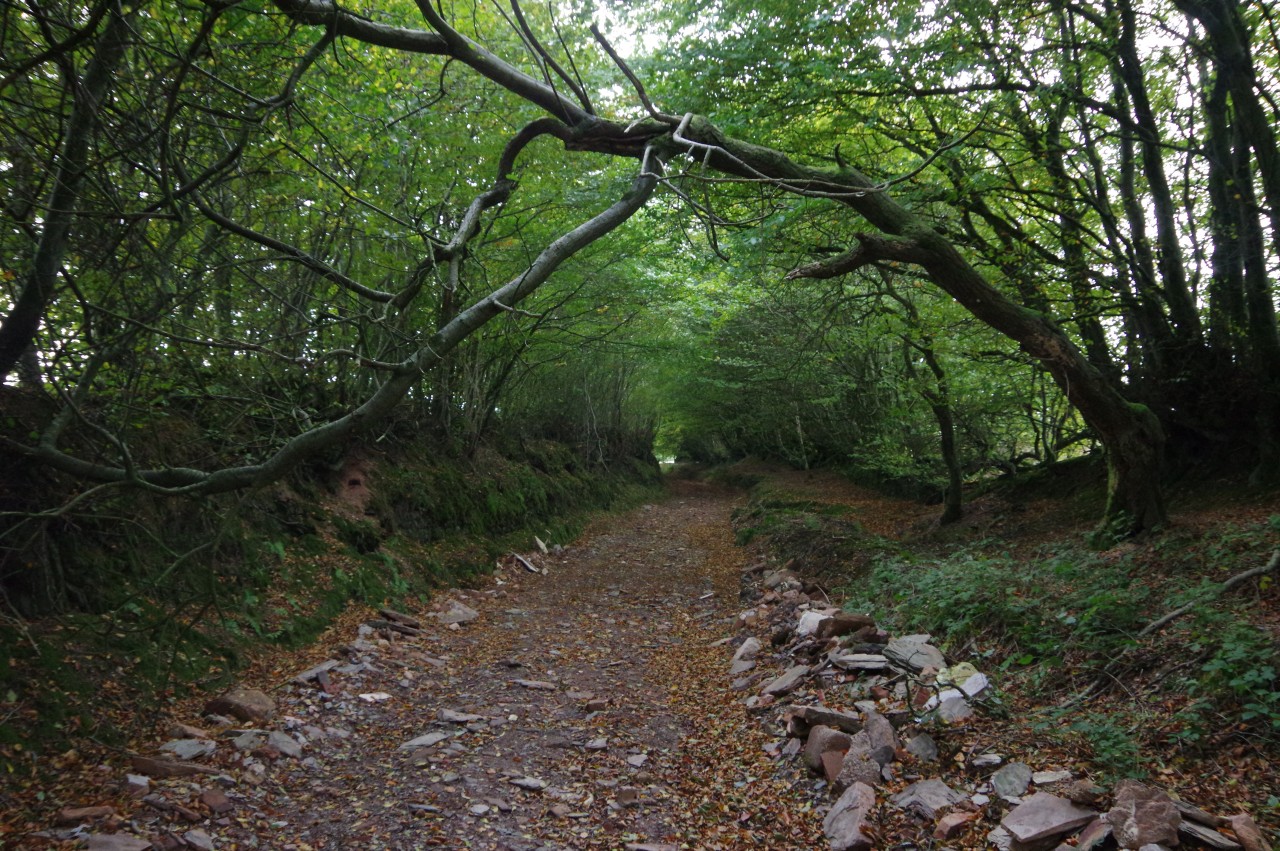
The lane eventually descends to pass a couple of large corrugated iron barns at Newcombe Farm (picture 18). The tarmac ends beside the second barn and a rough, unsealed vehicle track climbs steeply behind it, giving excellent views back down the combe (picture 19). At the top of the combe, the track reaches a wooden gate beside a huge pile of hay bales. Through the gate, the Way turns left on a sunken track called Ditch Lane, which runs through a tunnel of foliage on the shoulder of Colly Hill (picture 20).
(21) Lype Common

(22) View north from Lype Common
(23) Lype Common
(24) Trig pillar on Lype Hill
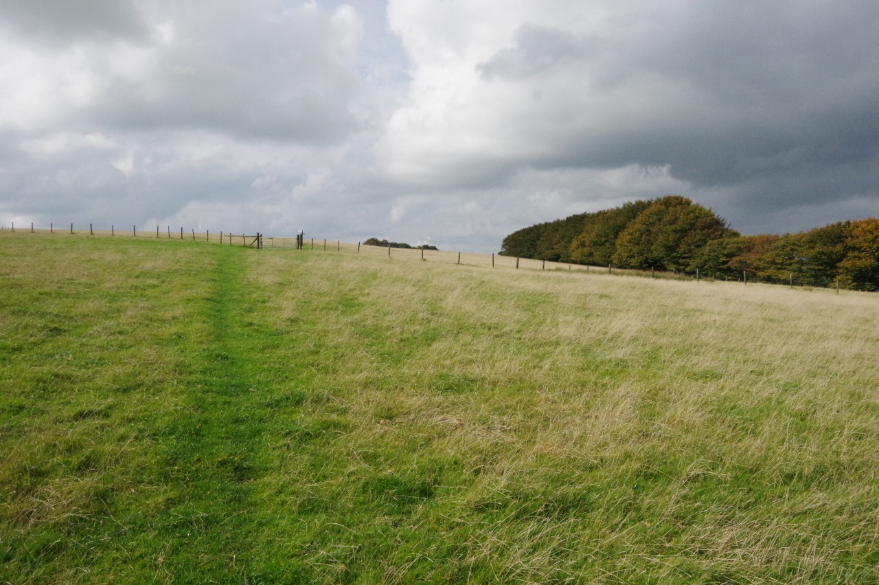
After slightly more than 200 metres, the Way bears right through a wooden five-bar gate and into a large grassy meadow. Unfortunately this turning is unsignposted and I missed it. Fortunately, it was only another thirty metres before I reached a padlocked farm gate and realised my error.
Under trees, a short way along the left edge of the meadow, a signpost that cannot be seen from outside the gate points at right angles up the middle of the meadow. The meadow is part of Lype Common, a large area of grassland on the eastern side of Lype Hill, divided up into irregularly-shaped sections by a number of wire fences.
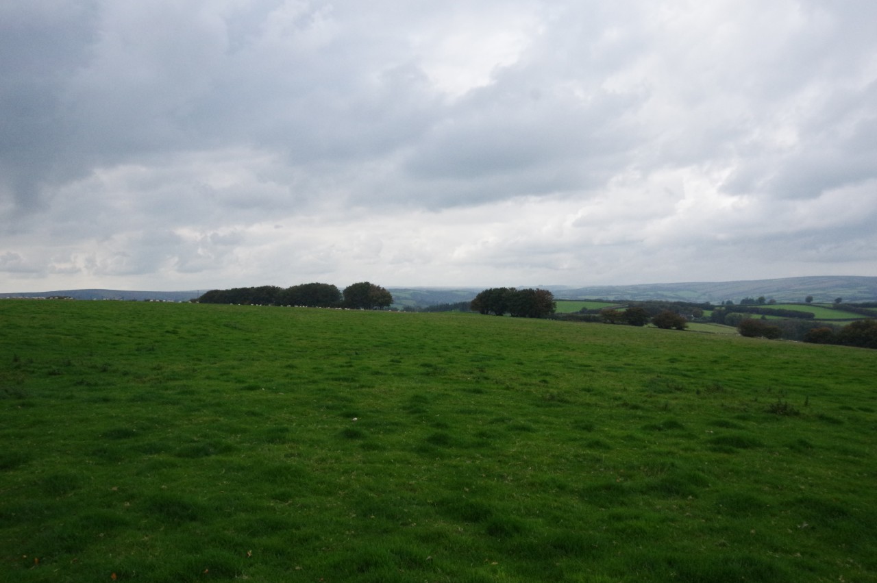
For the next one and a half kilometres, the Coleridge Way climbs steadily across the common to the summit of Lype Hill, following a well-signposted route. By the time one has reached a gate in the first fence (picture 21), there are good views northward over woodland-covered peaks (picture 22) and also eastward over the Brendon Hills to the distant Quantocks.
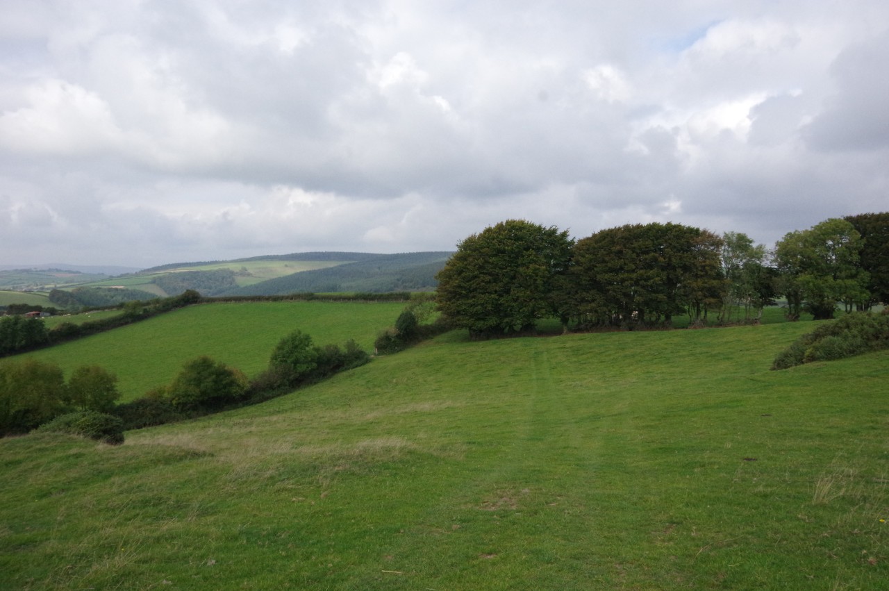
The Way bears left alongside the fence (picture 23), following it to the next gate, then crosses two more meadows to finally run beside one more fence that ends at a gate just to the right of an enclosure containing a tumulus. The burial mound is topped by a trig pillar marking the highest point of Lype Hill at 423 metres above sea-level (picture 24). Unfortunately, by the time I reached the summit, the weather had begun to turn quite gloomy and the temperature had dropped quite noticeably; a portent of bad weather to come.
(25) Lype Hill
(26) White Moor
(27) Descending to Pitleigh
(28) Pasture above Pitleigh
Through the gate, the Way bears slightly left, heading due west across the next two fields on the flat top of Lype Hill (picture 25) to find a gate in a band of trees lining a quiet lane. Diagonally left across the lane, a second gate take the Coleridge Way onto White Moor (picture 26).
The Way aims for a gate near the far left corner of the first field, then does the same again in the next, much larger, field. A few metres beyond the latter, a right turn through another gate takes the walker onto a grassy path descending beside a fence towards the hamlet of Pitleigh (picture 27). In the distance straight ahead is the peak of Dunkery Beacon, the highest ground of Exmoor and also of the county of Somerset.
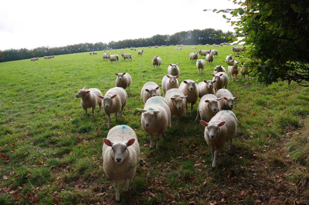
On reaching a junction of tracks outside the Pitleigh Kennels, the Way bears slightly right and heads through a wooden gate onto a green lane that passes a couple of fields. At the end of the green lane, the Way turns left through a gate then immediately right along the edge of a grassy pasture, where a few of the locals felt the need to escort me to the next gate (picture 28).
(29) Lower Park Lane, Cutcombe
(30) Church of St John the Evangelist, Cutcombe
(31) Path beside Rowan Cottage
(32) Wheddon Cross
The path along the edge of the next field is fenced off from the rest of it by a single wire strung along the tops of short posts. This path descends to a gate, from which another stretch of green lane descends further, crossing a private road before giving way to a short but somewhat treacherous stretch of path on slippery bare bedrock.
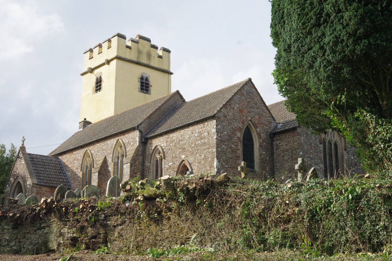
It came as a bit of a relief to get onto tarmac when I reached Cutcombe Cross, where the Way crosses Popery Lane to head down Lower Park Lane and into the village of Cutcombe (picture 29). The lane bends to the right before reaching a junction where the Way makes a sharp left-hand turn onto Higher Park Lane, but first I took a short diversion ahead on Ashwell Lane to have a look at the village church (picture 30).
Backtracking to the junction, I followed Higher Park Lane through the village, but there was very little to see as most of the houses are set back from the road behind tall, manicured hedges.
At the far end of the village, the lane bends left, while the Way goes straight ahead on a grassy track beside Rowan Cottage (picture 31). I left the Coleridge Way here, having covered another 14.3 kilometres of the route, and continued along Higher Park Lane for another 300 metres to the neighbouring village of Wheddon Cross (picture 32), where I was staying the night in the large village pub, the Rest and Be Thankful Inn. Surely, this must be one of the best names for a country pub near a long-distance trail.
The change in the weather I had noticed earlier was definitely intensifying by the time I arrived. My exploration of the village, the highest on Exmoor at 299 metres above sea-level, was curtailed soon after as it started to rain quite heavily, so I contented myself with settling in at the cosy pub for the evening while the rain tumbled down outside.