COLERIDGE WAY
Stage 2: Sampford Brett to Roadwater
Thursday, October 4, 2018
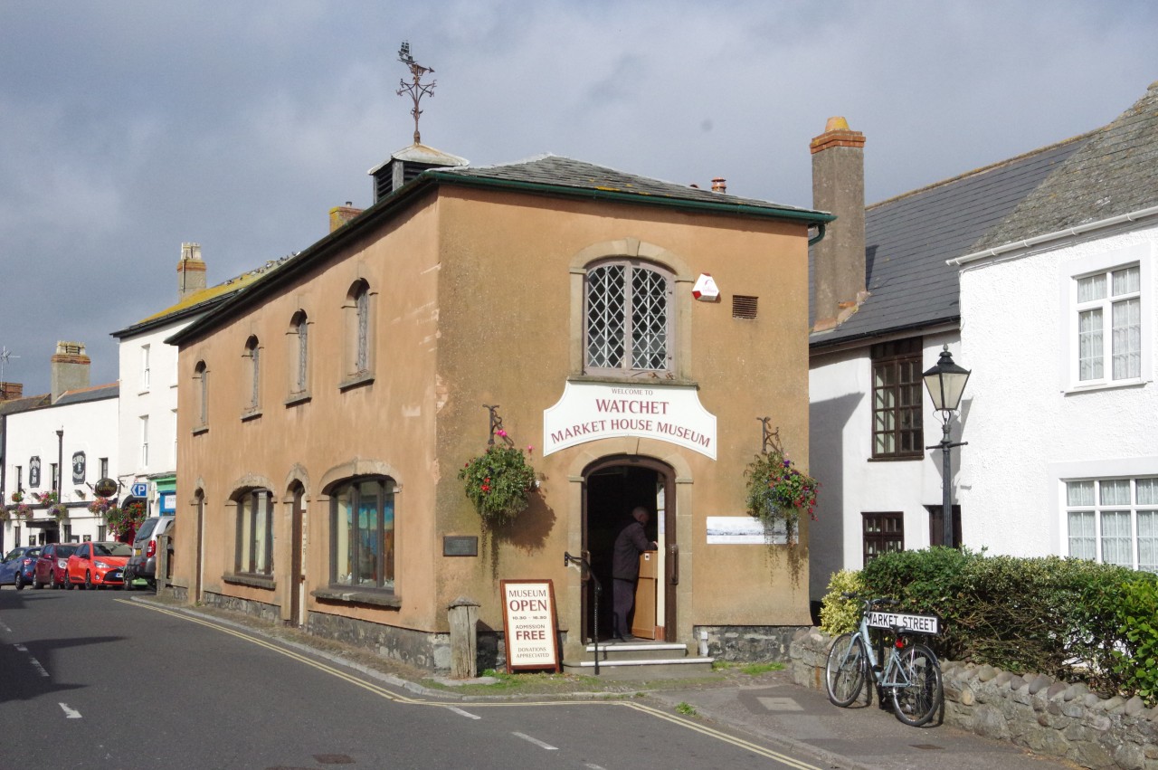
(1) Market House Museum, Watchet
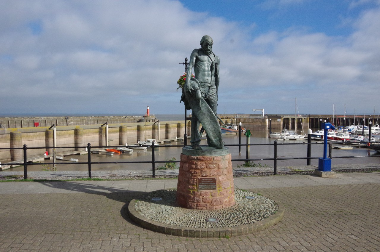
(2) The Ancient Mariner, Watchet Harbour
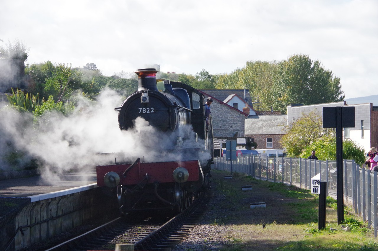
(3) West Somerset Railway
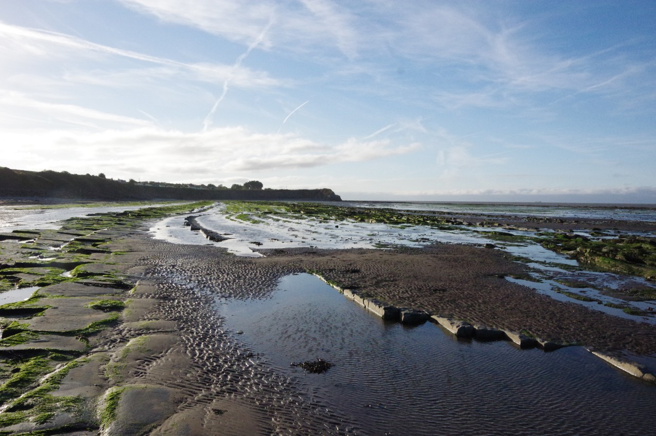
(4) Doniford Beach
On the morning between the previous walk and this one, I walked over the small hill north of Williton to visit the coastal town of Watchet, well-known for over three centuries for its paper-making industry until the last mill closed in 2015. I had walked through Watchet a couple of times before, but hadn't had much time to stop and explore on those occasions.
My first stop was the Market House Museum (picture 1), which packs a lot into a relatively small space. Displays cover the history of the town and the surrounding countryside, from the Bronze Age to the present day.
A retired lady and gentlemen were looking after the museum when I visited and it turned out that they had walked the Coleridge Way earlier in the summer. They were also able to tell me, much to my disappointment, that the queue for the town council's position of Ale Taster was even longer than the last time I had offered my services.
On recognising my Australian accent, the gentleman disappeared out of the museum and scurried around the corner, reappearing a couple of minutes later with bagpipes to play a rousing, and rather loud, note-perfect rendition of Waltzing Matilda. A memorable visit indeed.
Watchet also has a connection with Samuel Taylor Coleridge. Less than a minute's walk from the museum, standing by the harbour, is a statue of The Ancient Mariner (picture 2), erected in 2003. Coleridge was inspired to pen The Rime of the Ancient Mariner after a visit to Watchet.
After wandering out along the Victorian harbour arm to the small lighthouse at its tip (built in 1862), I stopped at the Bell Inn, opposite the museum. The opening lines of The Rime of the Ancient Mariner were written in the pub, and I read the poem while my lunch was being prepared.
Afterwards I headed over to Watchet Station in time to board one of the steam trains of the West Somerset Railway (picture 3). The broad-gauge branch line from Taunton was opened as far as Watchet in 1862, then extended to Minehead in 1874, and finally converted to standard gauge in 1882. Steam trains were replaced by diesels in 1962 until, on the second day of 1971, the line was closed as part of the Beeching cuts. Between 1976 and 1979, the line reopened in stages to become England's longest heritage railway, with regular steam- and diesel-hauled services covering the 36.6 kilometres between Minehead and Bishops Lydeard, north of Taunton.
I spent the rest of the afternoon riding a full circuit of the railway, with breaks to wander around Minehead and Bishops Lydeard before catching the last train back. I have ridden the West Somerset Railway several times before, but I never get tired of steam trains.
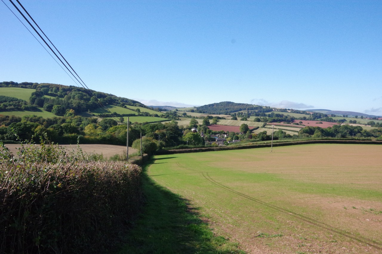
Alighting one stop before Watchet, at Doniford Beach Halt, I followed the marked path down to the beach. Doniford Beach is at the western end of a ten-kilometre stretch of coastline that is composed of alternate layers of Jurassic limestone and shales, tilted by geological forces and eroded by the sea to form a strange landscape of rockpools (picture 4), where fossils are frequently found. It was around two kilometres walk along the beach and over a couple of small headlands to return to Watchet Station, and about as far again back over the hill to return to my accommodation at the Masons Arms in Williton.
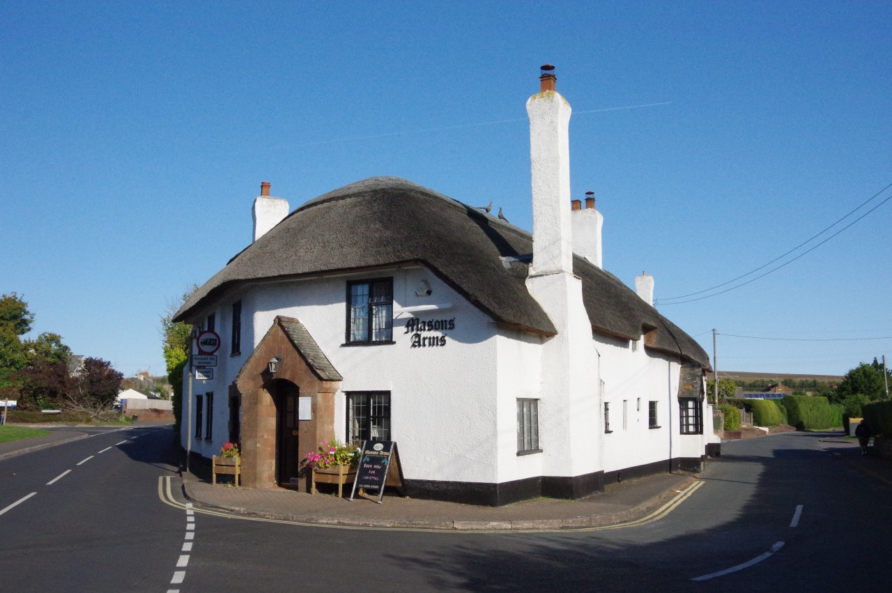
(5) The Masons Arms, Williton
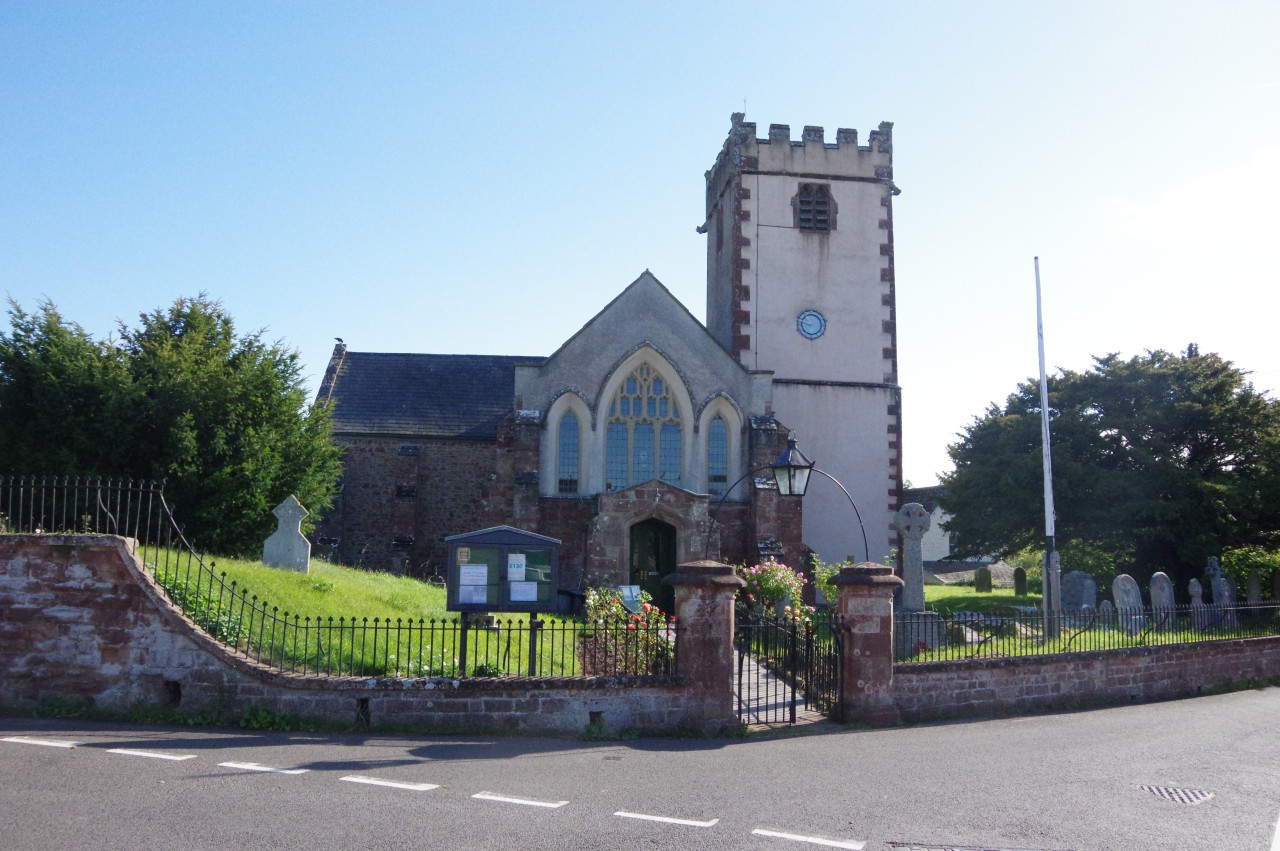
(6) Sampford Brett Church
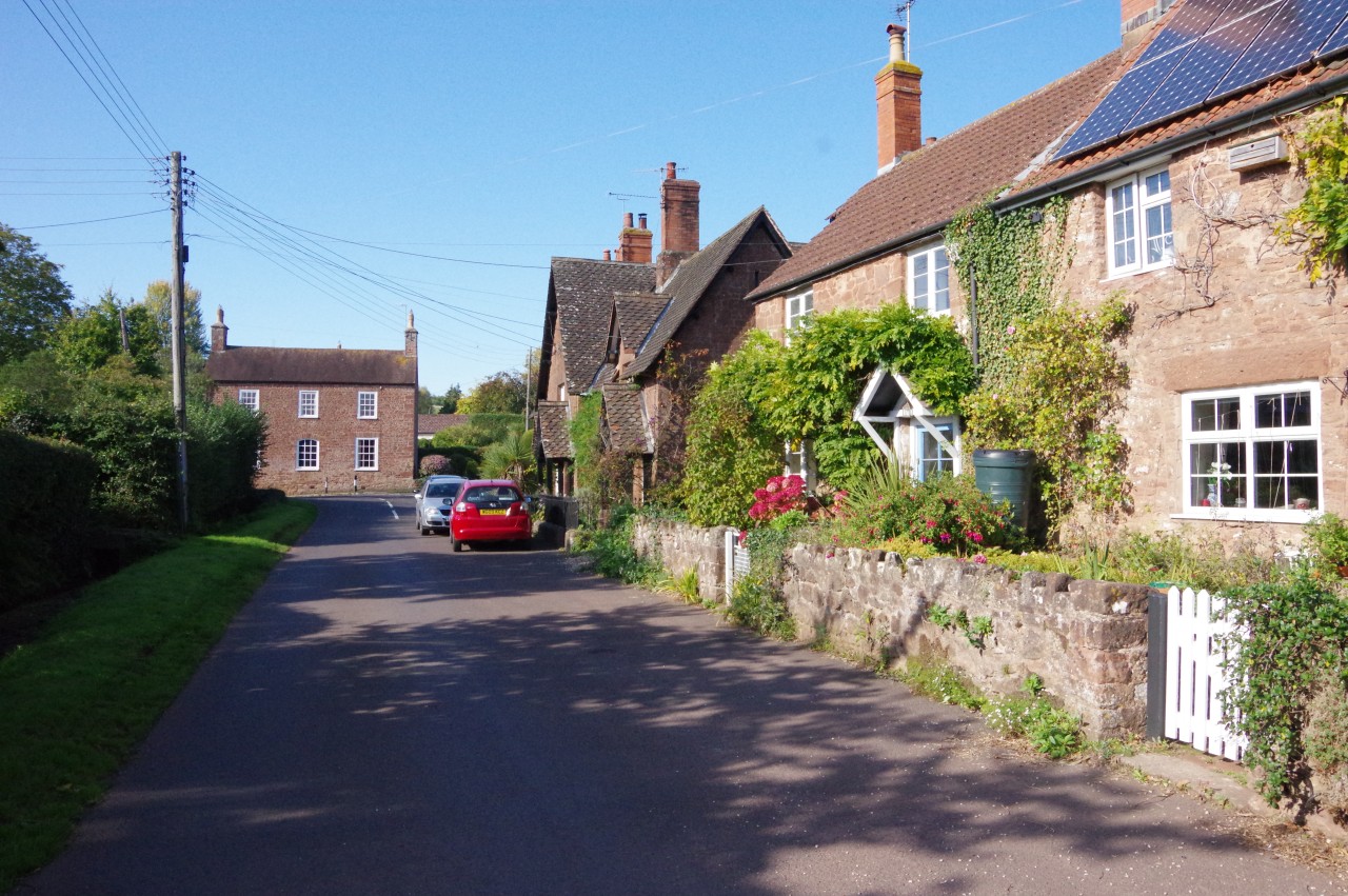
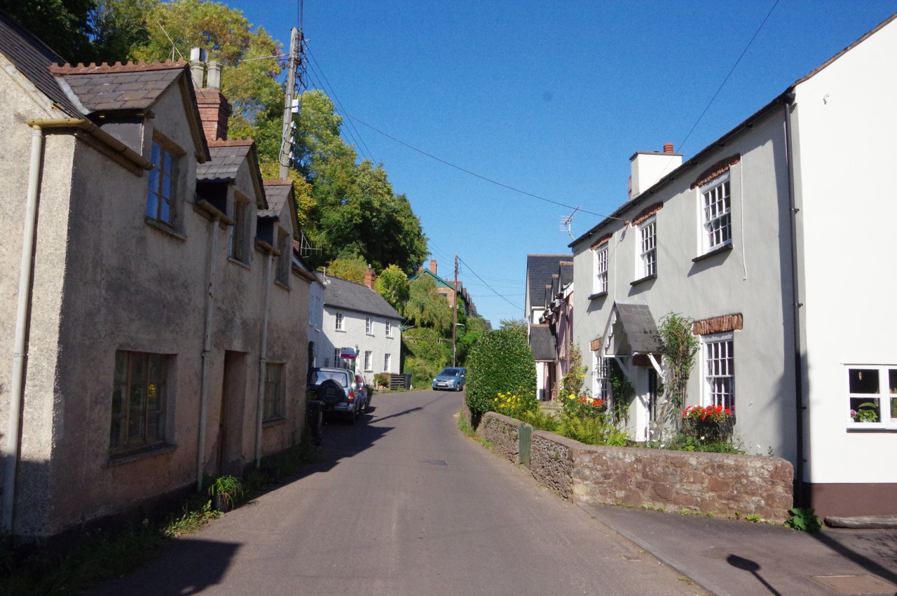
(7) Sampford Brett
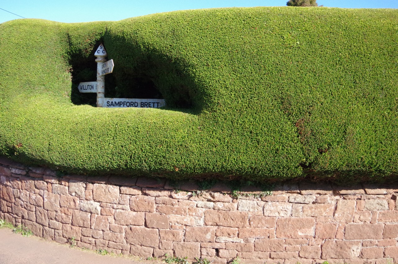
(8) Sampford Brett
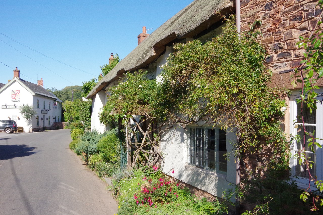
The following morning was bright, and a little breezy as I departed from the Masons Arms. The large thatched pub is set in a fork between two roads (picture 5), with a modern accommodation block directly behind it. The staff are very friendly and knowledgeable about the local area and the food and ale were superb. Definitely a good choice for the discerning walker.
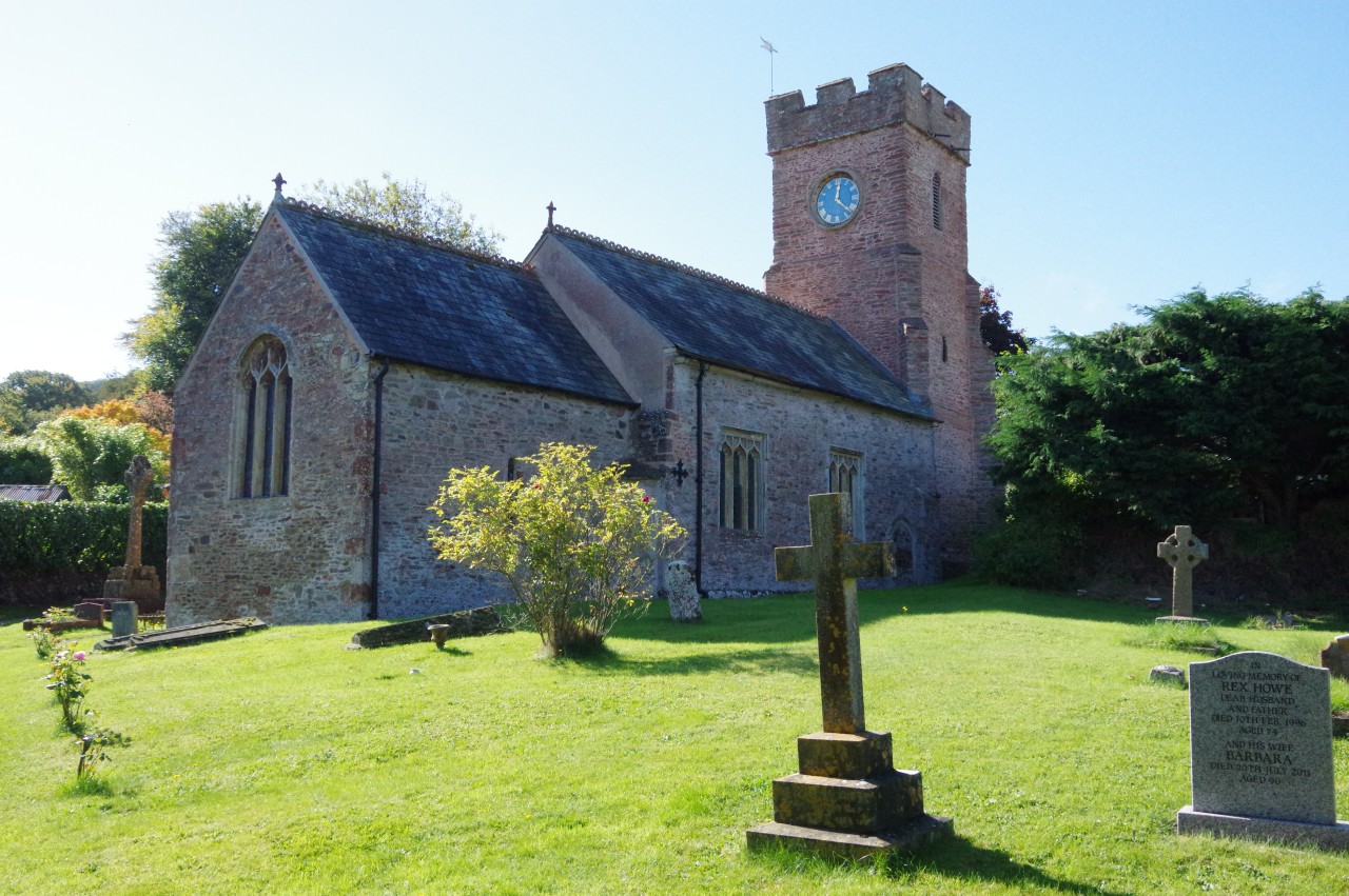
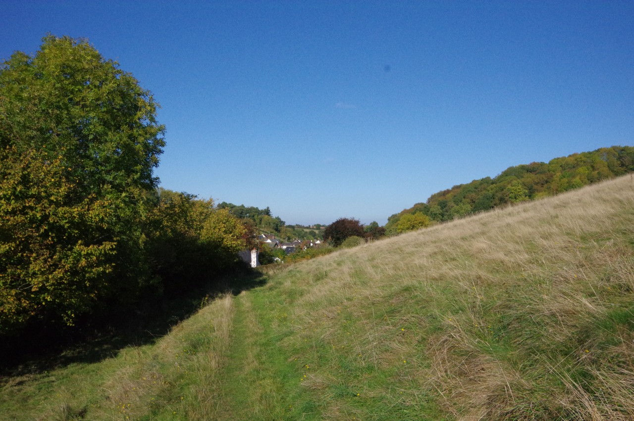
After calling in just down the road to pick up some supplies at the Co-Op store, I retraced my steps of a couple of evenings previous to return to the church at Sampford Brett (picture 6), though I didn't spot any emus on the return walk.
One of Sampford Brett's claims to fame is that it was the home of Sir Richard de Brett, one of the four knights who murdered St Thomas à Becket in Canterbury Cathedral in 1170. Another of the four, Sir Reginald Fitz-Urse, was a major land owner in Williton and Watchet.
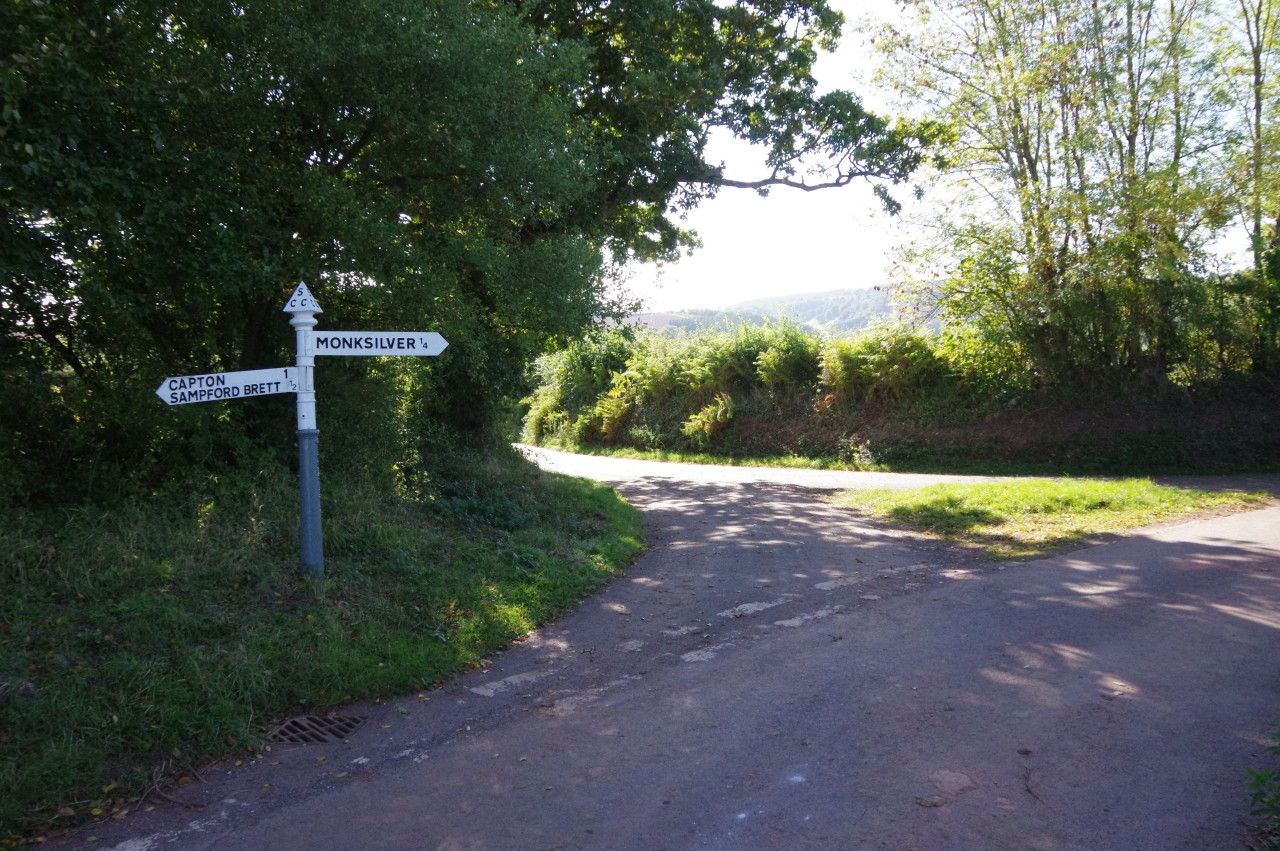
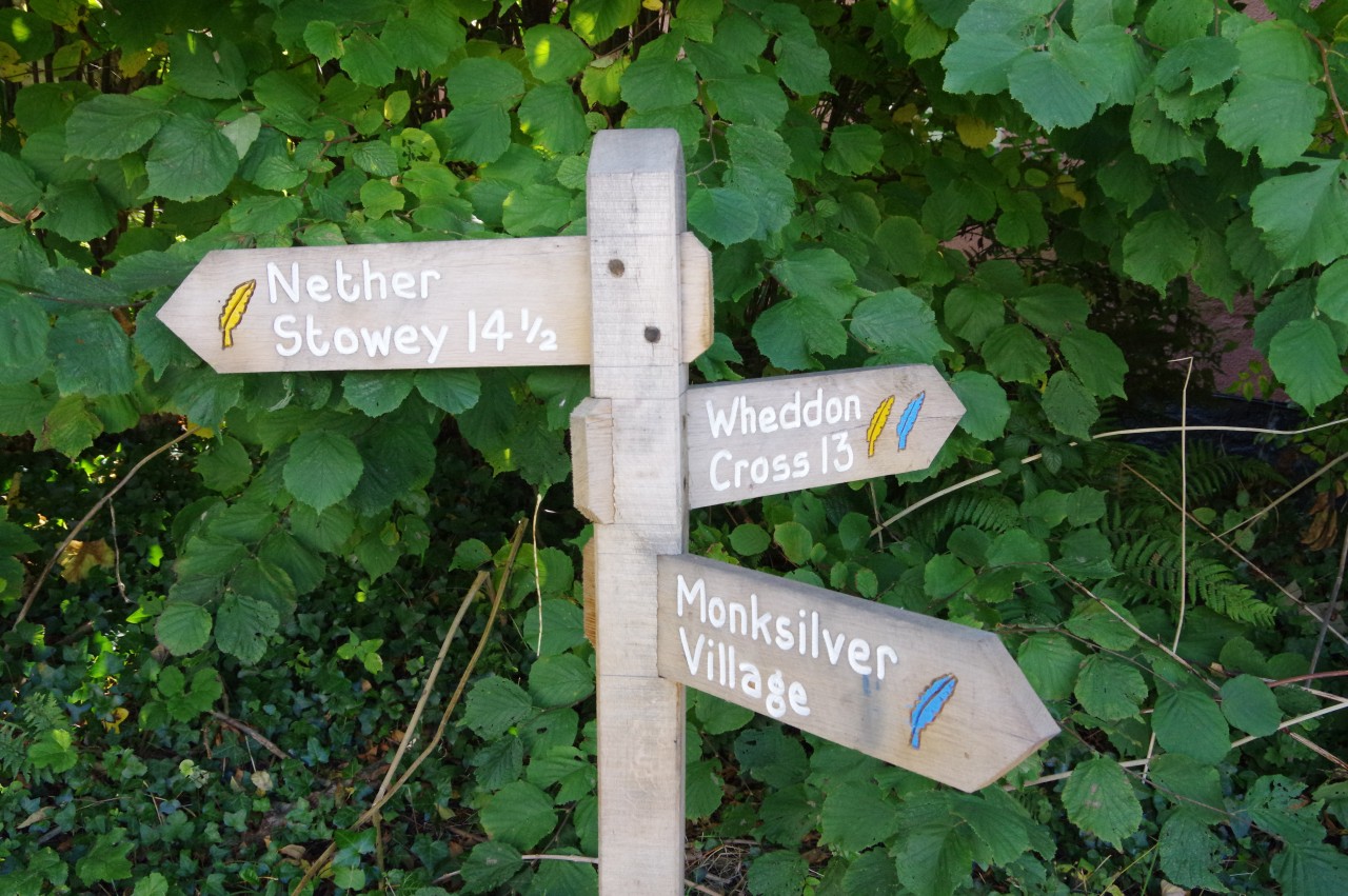
Today, Sampford Brett is an attractive, sleepy country village, and I didn't see a soul as I set off down the main street (picture 7). At the far end is an off-centre crossroads, where the county council's signpost has been engulfed by a hedge (picture 8).
(9) Aller Farm
(10) View back across Aller Farm
(11) Sunken path
(12) Beech Tree Cross
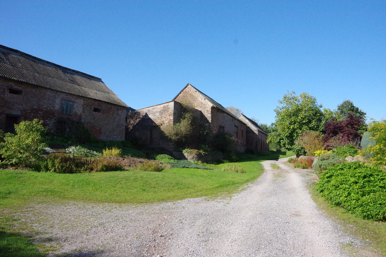
The Coleridge Way goes across the crossroads, into a lane that sweeps left. Around the bend, a wooden signpost on the right points the way between the stone buildings of Manor Farm to a metal gate. Beyond the gate, a fenced path skirts the lower edge of sloping pastures then kinks right and left to head through trees, eventually emerging beside a high stone wall at Aller Farm.
At the end of the wall, the Way turns right, through the middle of the farm (picture 9), then left at the next junction of tracks, passing more farm buildings before the tracks runs between two tall hedges. The hedge on the left ends at the corner of a long, narrow field where the OS map shows the official route shortcutting along the middle of the field. The entire field was planted with a new crop, however, so I stuck to the track, rejoining the official route where it bears right through a gap in a hedge just before the far end of the field.
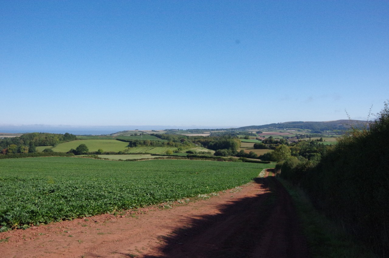
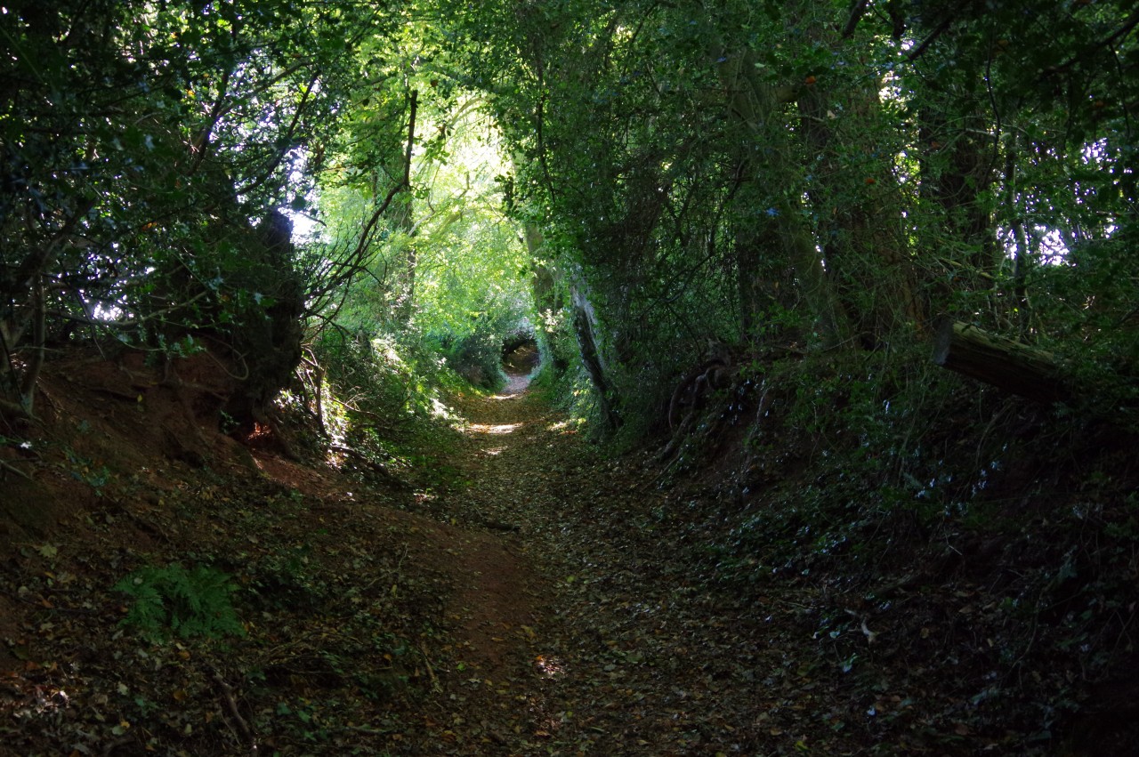
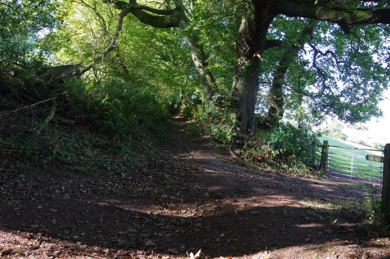
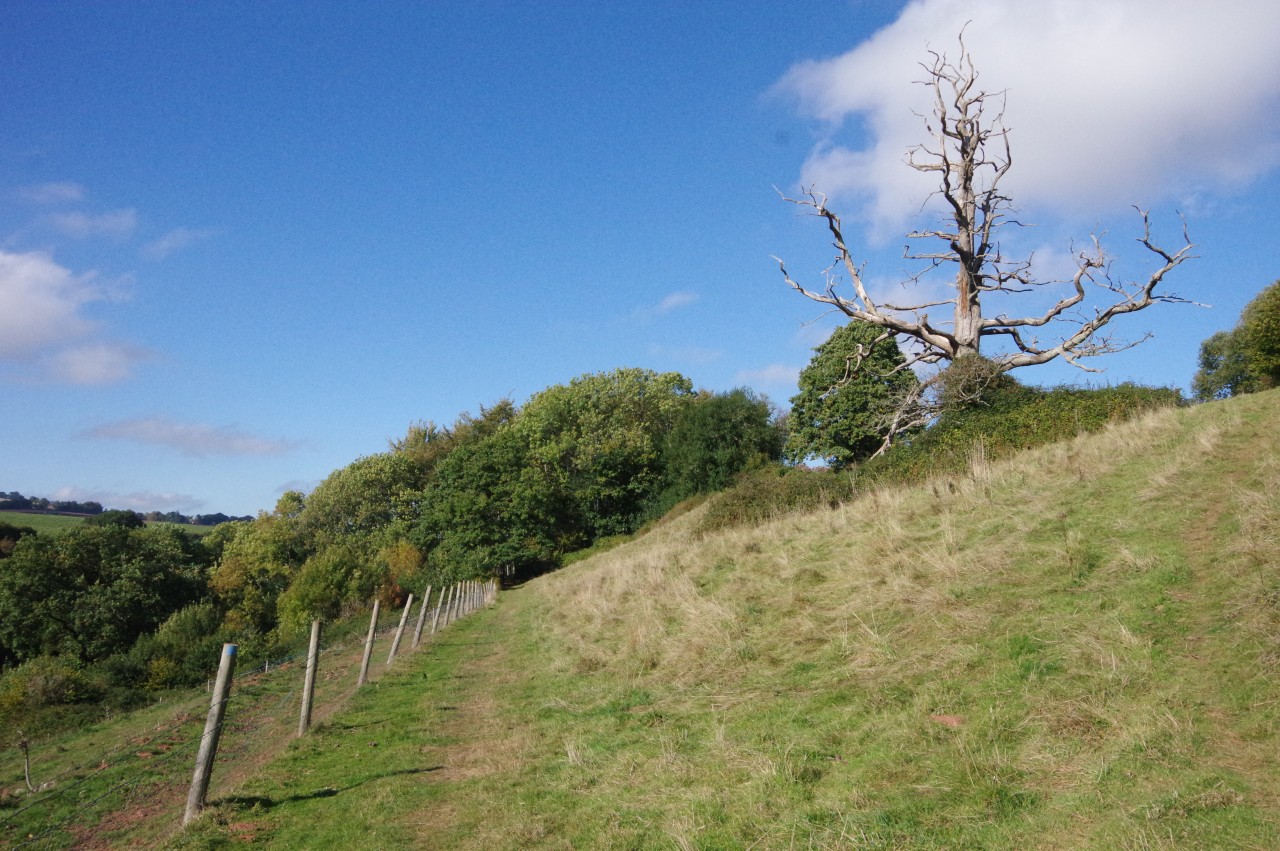
The Way now climbs the left edge of the field, briefly gaining a view back over Aller Farm and Williton (picture 10) until the path goes through a gap at the top and turns left alongside another hedge. This one is followed through three more fields to reach a gate in the corner of Fishwell Copse, from which a sunken path heads through a tunnel of foliage (picture 11) to emerge back into the daylight just to the left of a road junction at Beech Tree Cross (picture 12).
(13) Descending to Monksilver
(14) Signpost in Monksilver
(15) Front Street, Monksilver
(16) All Saints' Church, Monksilver
The Coleridge Way goes ahead through the junction and follows Combecross Lane for 400 metres. When the lane bends left, there are four gates on the right. The Way takes the second gate from the left; the only one of the four that opens onto an enclosed path rather than into a field.
The path soon becomes sunken and shady. When it reaches steps on the left, the Way turns right to climb through a gate and into a field. The Way now descends the left edge of three successive fields above the village of Monksilver (picture 13), passing behind the village hall in the last field before going through a gate onto Combecross Hill. Just to the right, Combecross Hill merges into the B3188, which continues ahead past an ivy-covered house and over a stream to reach a Coleridge Way signpost at the next junction (picture 14).
Before following the signposted route ahead on High Street, I first turned right along Front Street, which has a couple of delightful thatched cottages on the right side and the Notley Arms pub further up on the left side (picture 15). I had arrived just a few minutes after noon and found myself first in the queue for lunch. After my meal I went for a quick look at the Church of All Saints (picture 16), just behind the pub, before returning to the Coleridge Way.
(17) Bird's Hill
(18) Bird's Hill
(19) Windwhistle Lane
(20) View towards the coast
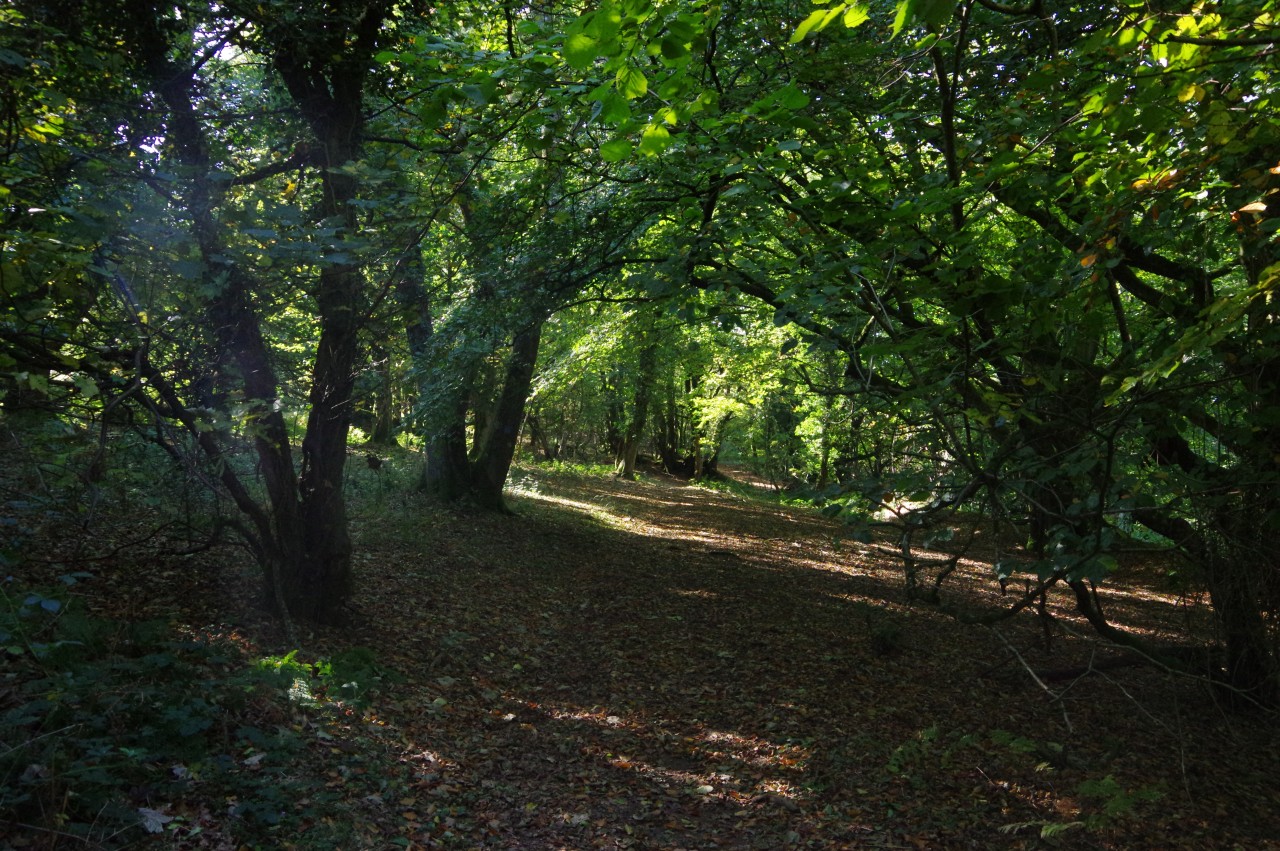
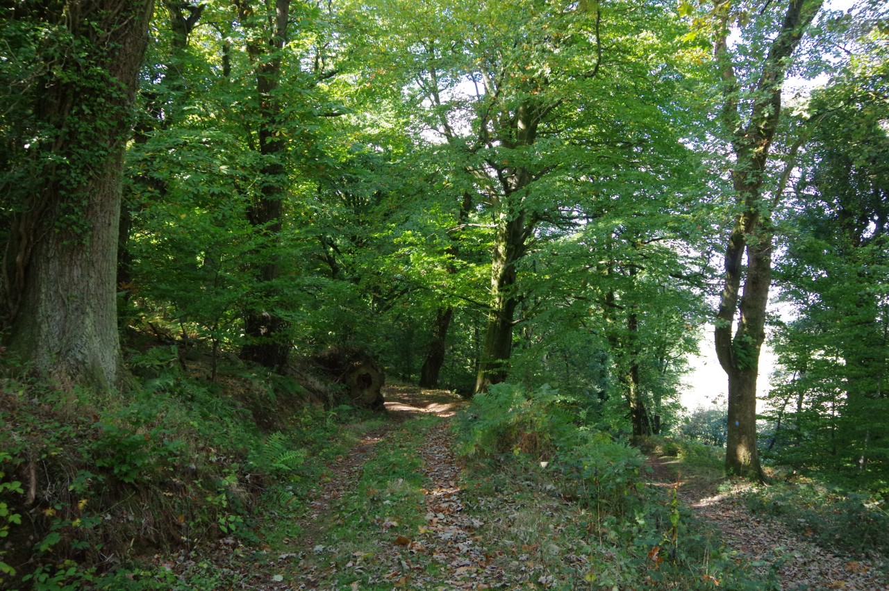
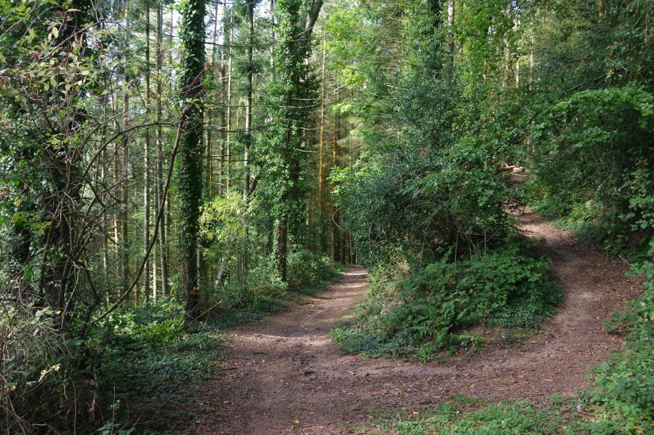
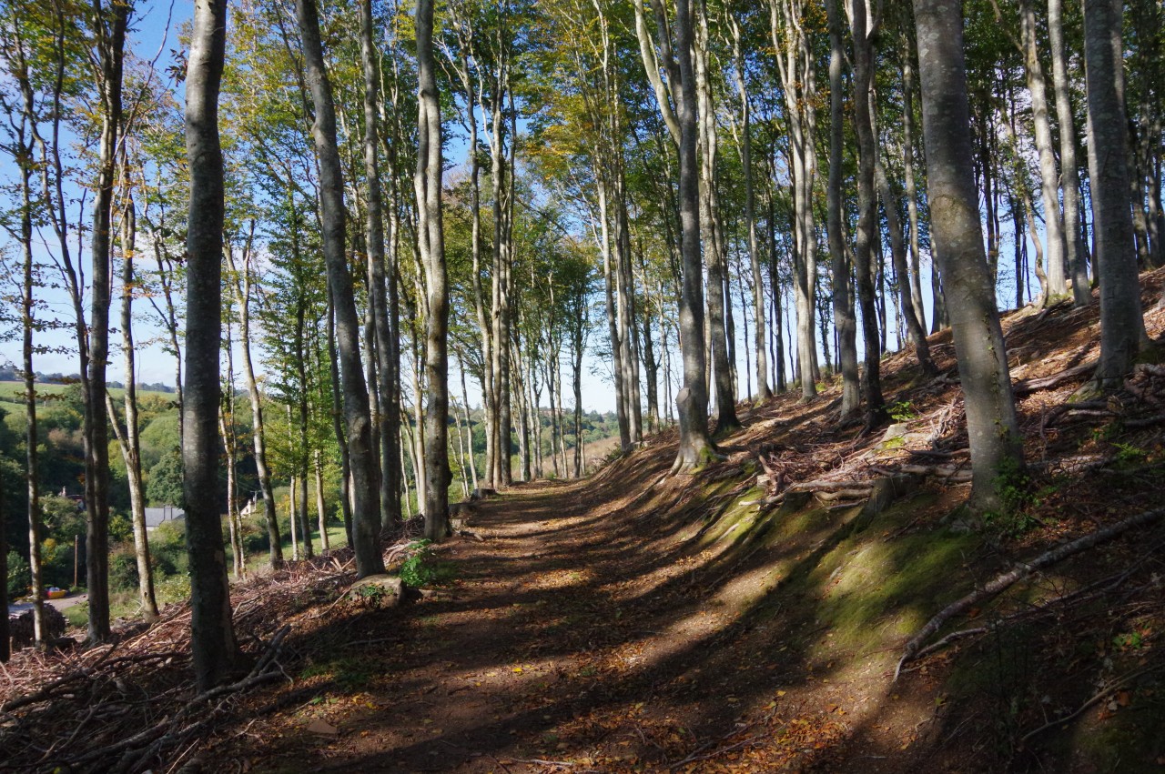
At the first bend in High Street, just past the Bridleside B&B, a signpost on the left points the way along a shady sunken path that makes a long, steady climb up Bird's Hill (picture 17). The path gradually levels out as it passes along the north face of the hill, just below the summit, running through ancient woodlands for most of the way (picture 18). This was a very peaceful stretch of the trail, with only birdsong and the sound of autumn leaves underfoot for company.
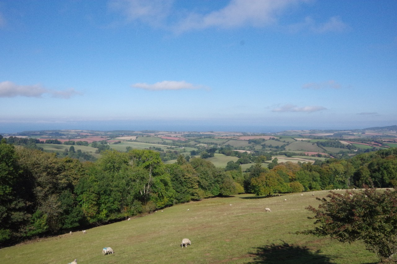
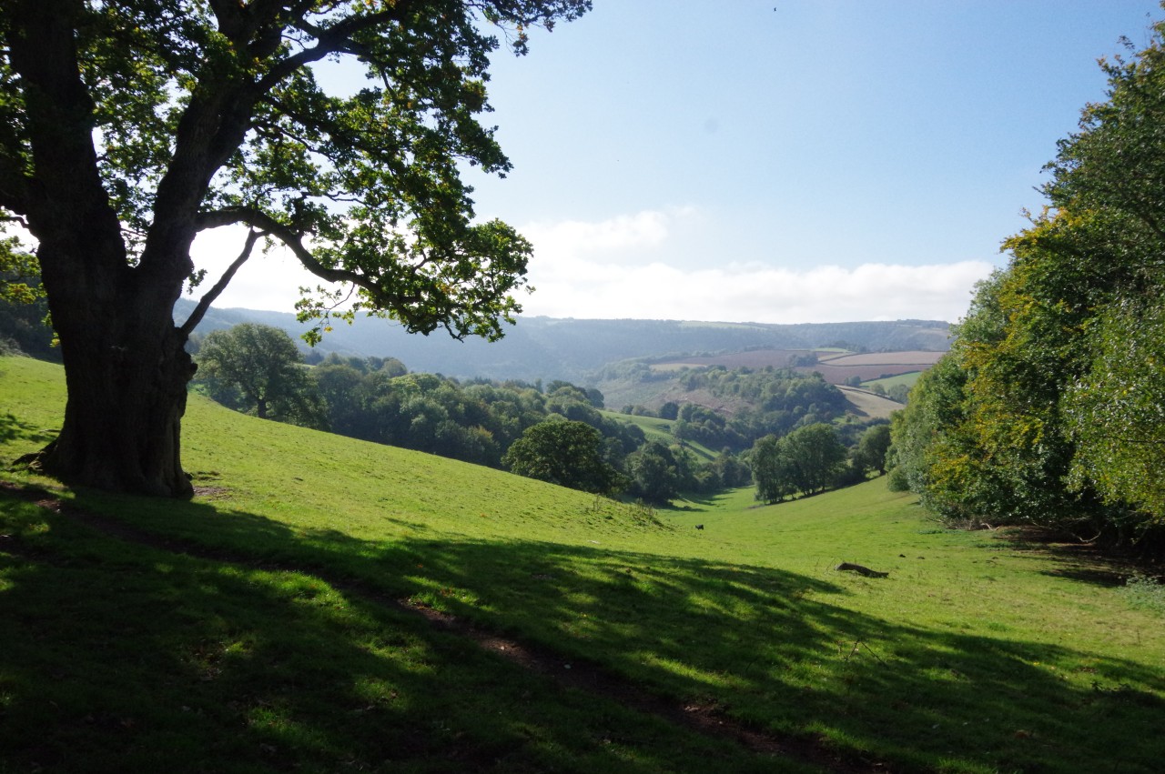
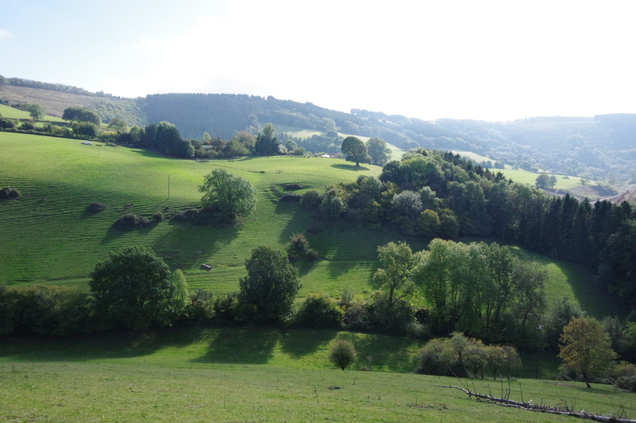
Almost two and a half kilometres from Monksilver, the woodland path reaches the lonely Colton Cross, and the Way goes straight ahead on the appropriately-named Windwhistle Lane (picture 20). About 200 metres along the lane, a wooden kissing gate on the right gives access to a field, offering a short diversion from the Way to a grassy hump that provides an excellent viewpoint over the coastline around the small village of Blue Anchor (picture 20). For those with an interest in technology, there is also an automated weather monitoring station in a small enclosure over to the right of the viewpoint.
(21) Sticklepath Plantation
(22) B3190 at Sticklepath
(23) Top of the Roadwater Valley
(24) Strange tree stump
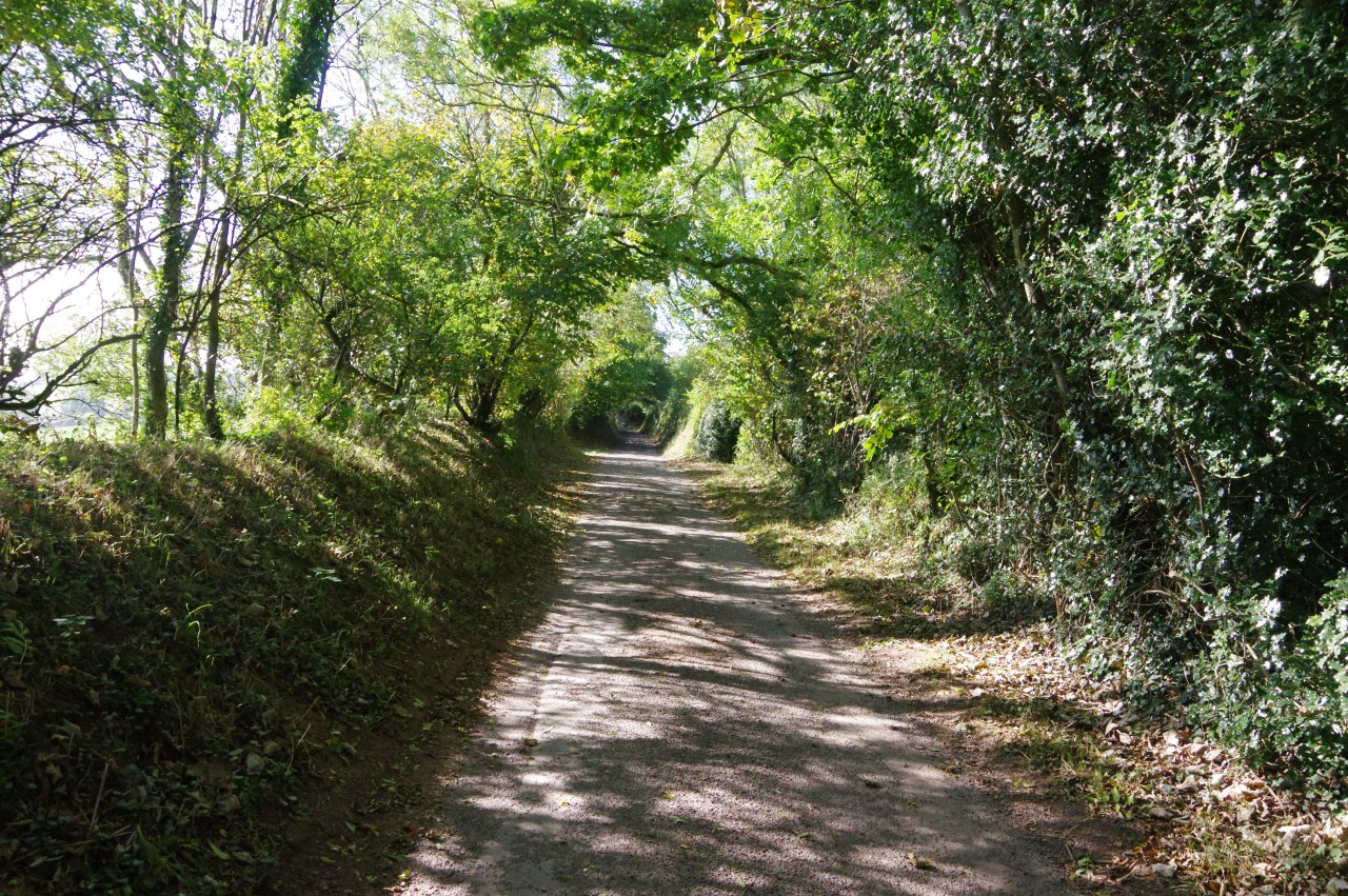
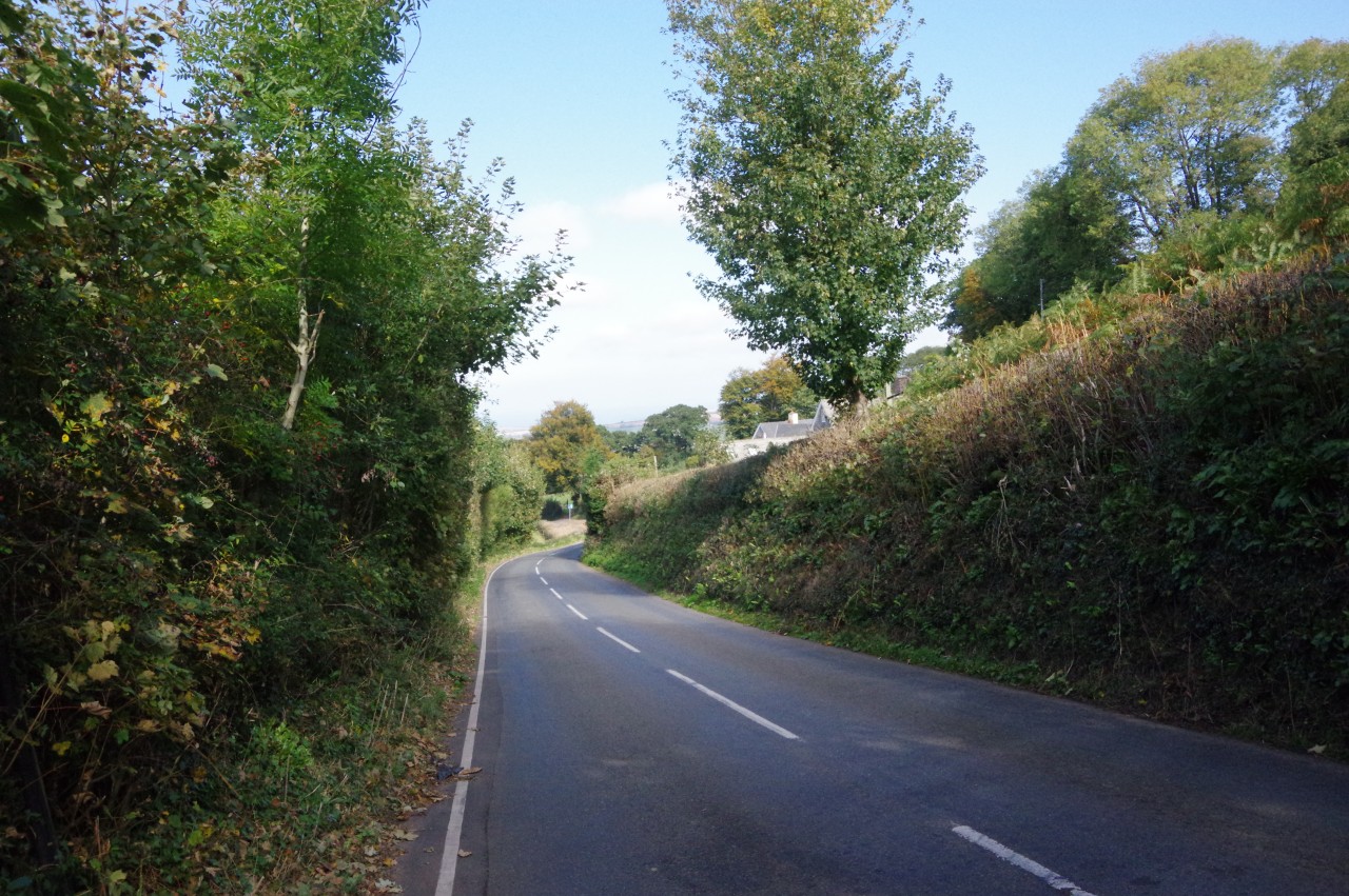
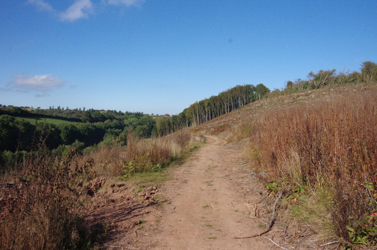
Another 200 metres along Windwhistle Lane, the Way turns right through a wooden farm gate, climbing up a grassy pasture at right angles to the road, looking for a second gate that only becomes visible when one has almost reached it, hidden in a dip in a corner of Sticklepath Plantation. Through the gate, a path cuts across the plantation then swings left to run along the far edge (picture 21), gradually descending to join a driveway beside a two-storey stone house. At the foot of the driveway, the Way turns sharp right along the mostly vergeless B3190 (picture 22) to pass below the handful of homes that make up the hamlet of Sticklepath.
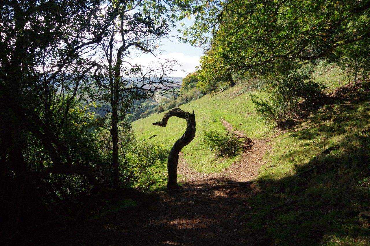
The Way ignores a minor lane on the left shortly before turning left on a track with a metal gate set well back from the road. This track runs between rough hedges to a crossing of tracks, where a prominent signpost directs the Coleridge Way walker through a gate on the left to follow the right edge of a steeply-sloping field at the top of the Roadwater Valley (picture 23). Passing through a line of trees beside a strange, question-mark-shaped tree stump (picture 24), the path continues along the high side of the next field.
(25) View across the valley to Hook Hill Farm
(26) Pit Wood
(27) Lower Hayne
(28) Approaching Nap Wood
From the top of the field there is a good view across the valley to Hook Hill Farm (picture 25) before the path swings right to enter Pit Wood. The Way follows the main path through the tall timber (picture 26), ignoring several side-paths, to emerge on the other side and follow a wire fence that separates the path from a series of fields that slope steeply down into the valley. Eventually, after passing above the farm of Lower Hayne (picture 27), the path makes for the small Nap Wood (picture 28).
Below the path, running down the floor of the Roadwater Valley, is a quiet lane that was once a section of the West Somerset Mineral Railway. I had read about the railway the previous morning in the Market House Museum in Watchet.
The West Somerset Mineral Railway was an eighteen kilometre long line built between 1857 and 1864 to carry iron ore from mines in the Brendon Hills down to Watchet's harbour. From Watchet, the ore was shipped across the Bristol Channel to Newport in Wales, then taken by rail to the Ebbw Vale Ironworks for smelting. Around two hundred men were employed by the mines and the mineral railway at their peak, but the mining boom in the Brendon Hills was relatively short-lived and by 1883 all of the mines had closed, put out of business by cheaper foreign suppliers. One mine briefly reopened from 1907 to 1910, but that venture ended in bankruptcy and commercial mining in the Brendon Hills ended for good.
(29) Nap Wood
(30) Cleared section of Erridge Wood
(31) Approaching Roadwater
(32) The Valiant Soldier, Roadwater
After passing through Nap Wood, where it appeared that the woods had recently been thinned out (picture 29), the path dips to cross a combe above the hamlet of Traphole. On the other side, the path climbs into what used to be Erridge Wood, but about 90% of the wood has been clear-felled, leaving only a small patch of trees standing at the far end and a bare hillside of long grass and tree stumps in between (picture 30).
Beyond the remaining part of Erridge Wood, the path enters a grassy meadow (picture 31) and descends the curving left edge to reach Harper's Lane on the edge of the village of Roadwater. The village sits in a sheltered position where the Roadwater Valley merges into the Washford Valley on the edge of Exmoor National Park.
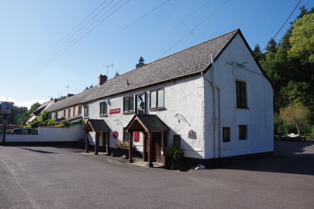
Turning left towards the centre of the village, Harper's Lane crosses the abandoned mineral railway and passes between houses that crowd the narrow strip of tarmac. At the end of the lane, the Way turns left on Roadwater's main street, soon reaching the Valiant Soldier pub (picture 32), my next overnight stop.
(33) Roadwater
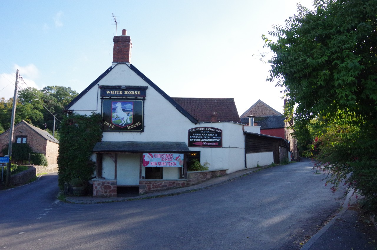
(34) The White Horse Inn, Hungerford
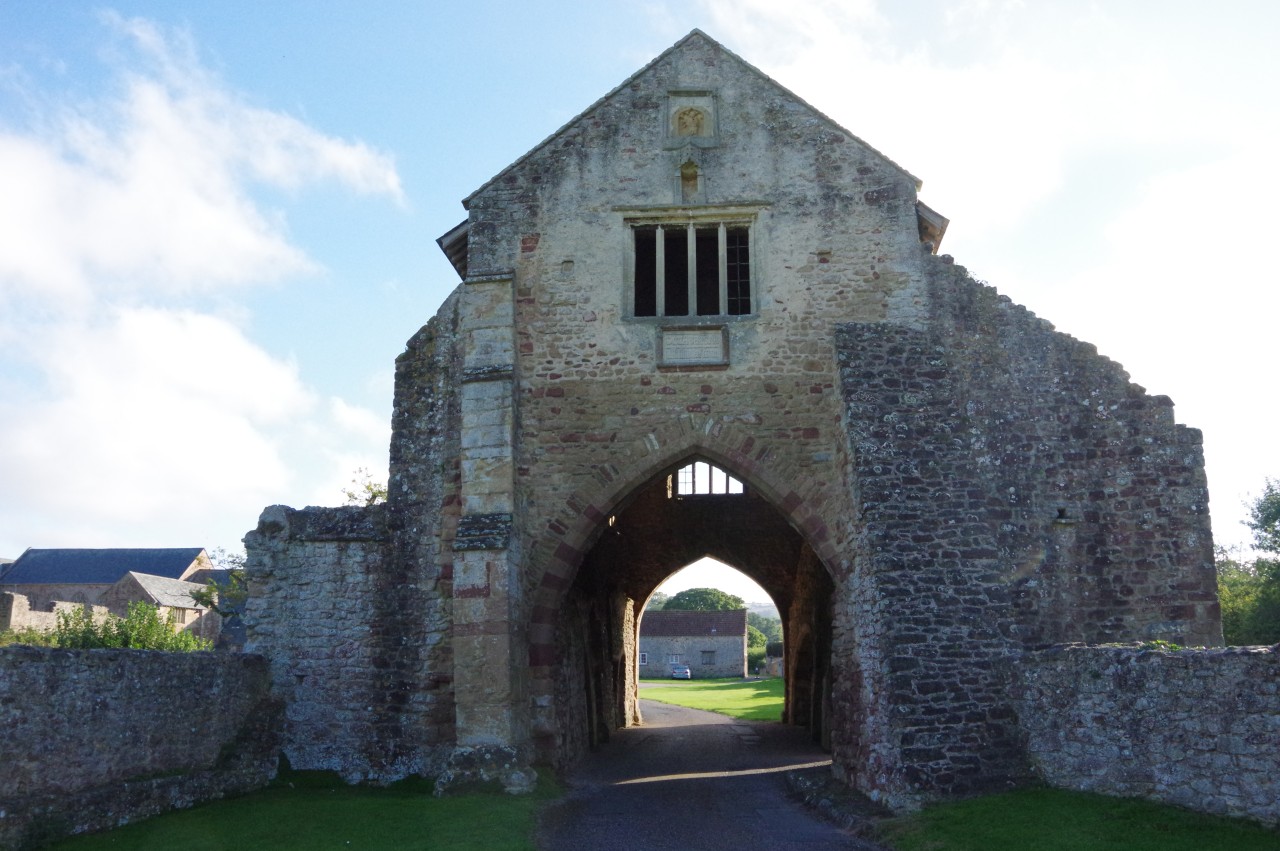
(35) Cleeve Abbey
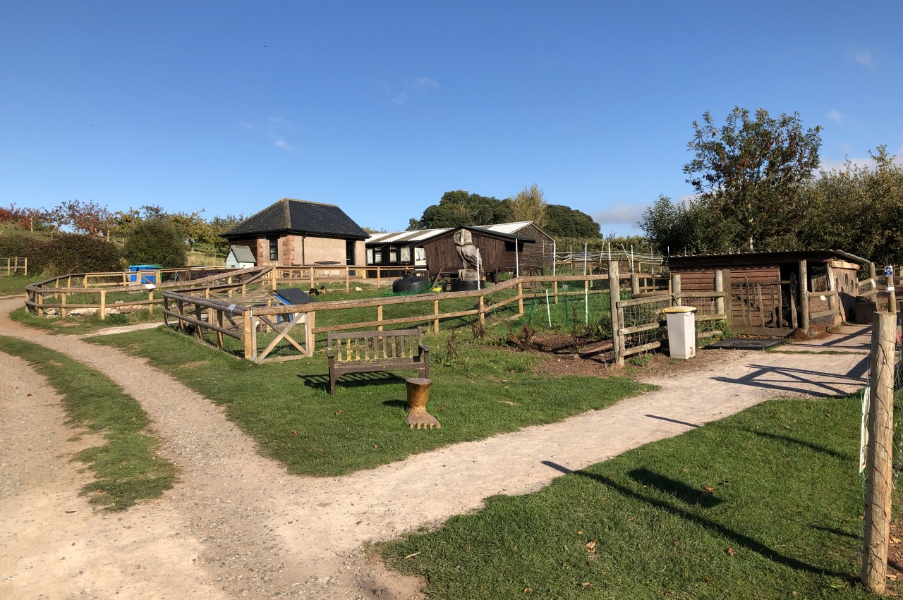
(36) Torre Cider Farm
This had been a short stage of the Coleridge Way, at only 12.6 kilometres, and I arrived at the pub just on three o'clock, leaving me plenty of time for a planned four-kilometre each way excursion down the Washford Valley.
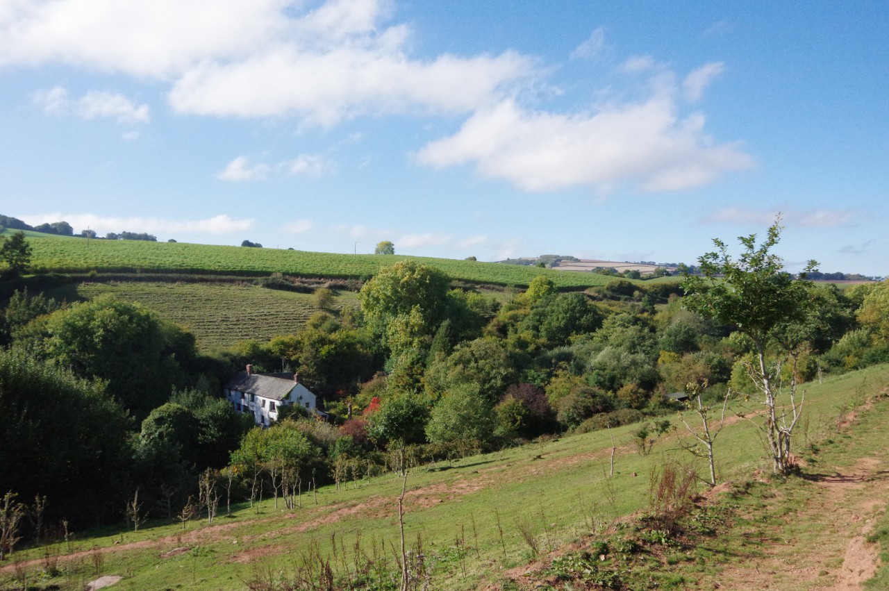
I followed the valley road through Roadwater (picture 33) and Lower Roadwater, below which the road splits, with branches going along each shoulder of the valley. This allowed me to take the left branch on the way down and the other on the way back. The two branches merge back into one at the White Horse Inn (picture 34) in the village of Hungerford, from which the road runs beside the little Washford River for the rest of the way down to the larger village of Washford.
Between Hungerford and Washford is Cleeve Abbey, a former religious house that has survived better than most of those disbanded by Henry VIII. I had visited the abbey once before when I walked the West Somerset Coast Path, but on that occasion the weather had been terrible, so I called in again to view the exterior and the impressive gatehouse (picture 35) under more favourable conditions.
On the way back up the valley, I forked left in front of the White Horse Inn and followed the road a short distance up to Torre Cider Farm (picture 36), where I was just in time to be the last customer of the day at the little farm shop. I walked a little slower the rest of the way back to Roadwater, my backpack laden with three litres of farmhouse cider and a kilogram of handmade biscuits.
It is possible that a litre of cider found its way into one of my water bottles for each of the next three days, but if asked I will smile innocently and deny this scurrilous rumour. I can however report that all three varieties of cider (dry, medium dry, and medium sweet) were flavoursome and very refreshing.