COLERIDGE WAY
Stage 4: Cutcombe to Porlock
Saturday, October 6, 2018
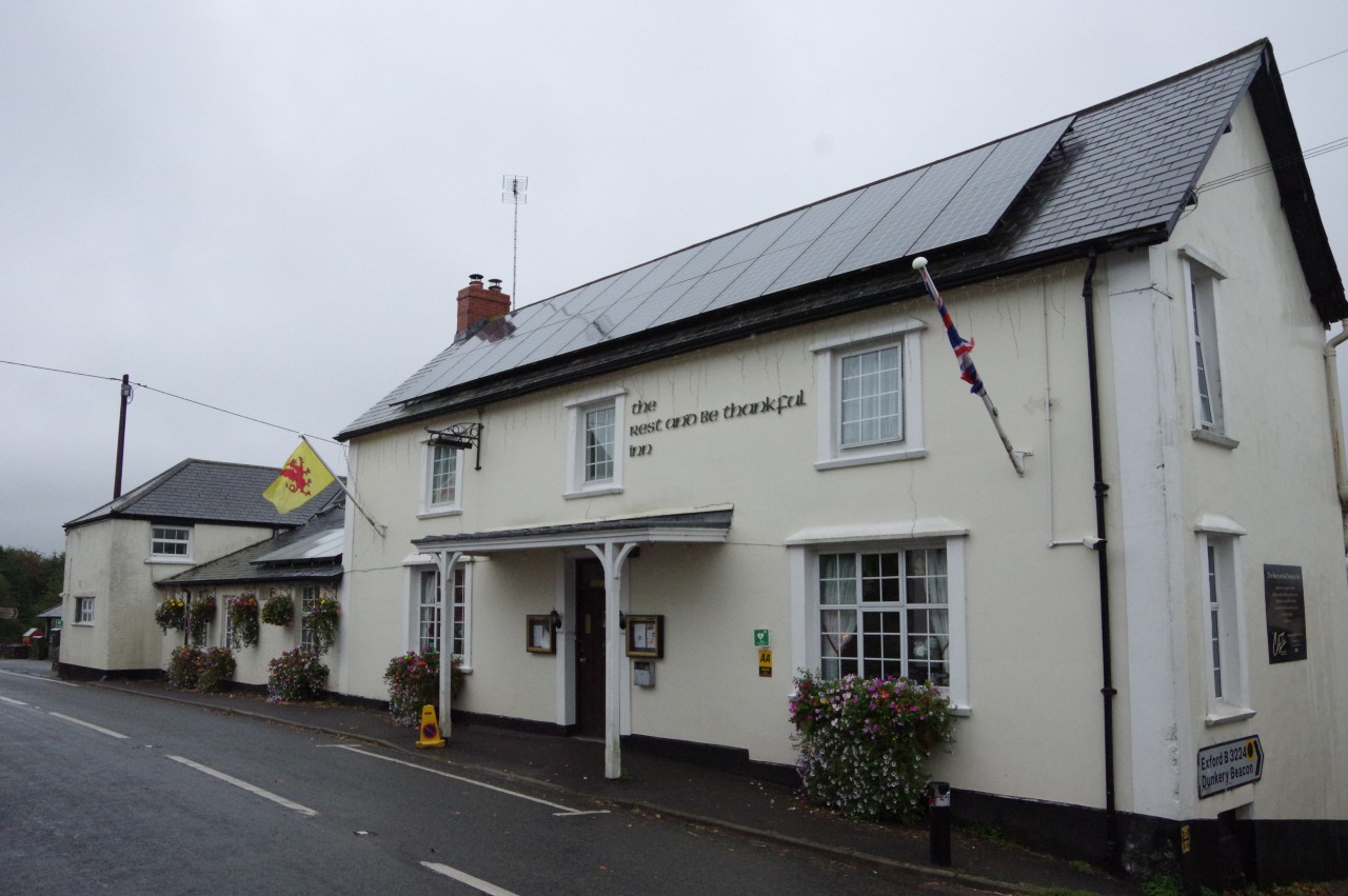
(1) The Rest and Be Thankful Inn
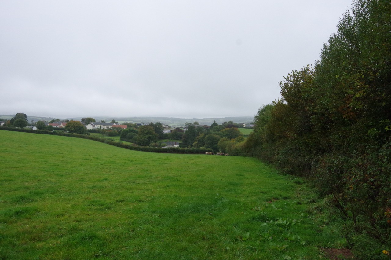
(2) Approaching the A396
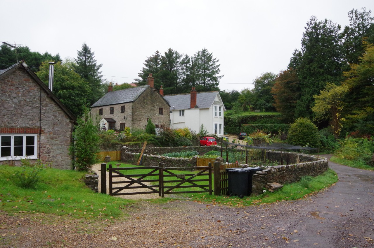
(3) Watercombe Farm
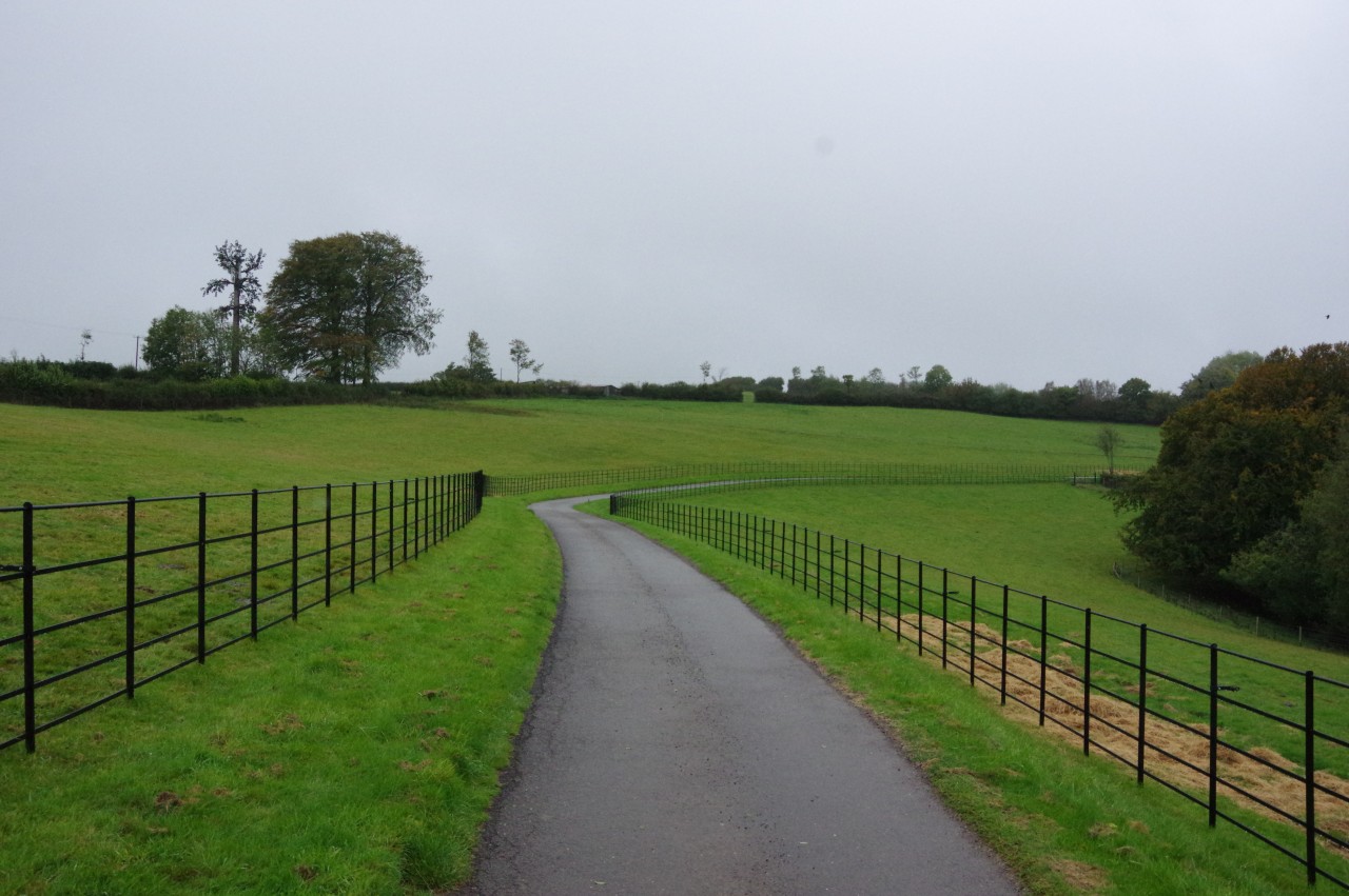
(4) Driveway of Raleigh Manor
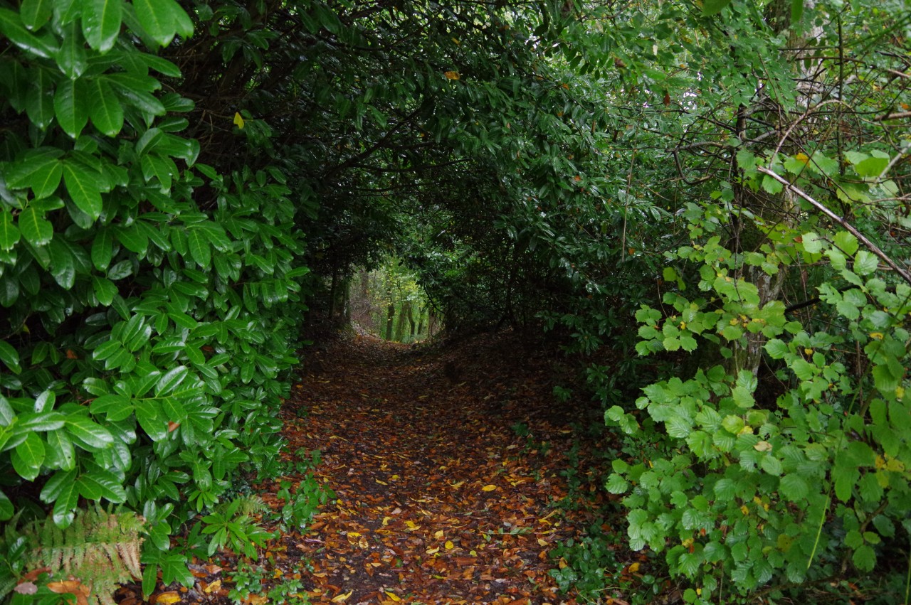
I awoke to find that the poor weather that had started the previous afternoon had hung around and it was going to be a wet start to my walk. After downing yet another full English breakfast, I left the Rest and Be Thankful Inn (picture 1) and headed around the corner to buy some supplies from the small supermarket in the village's petrol station as I knew that there was going to be nowhere to stop for lunch on this walk.
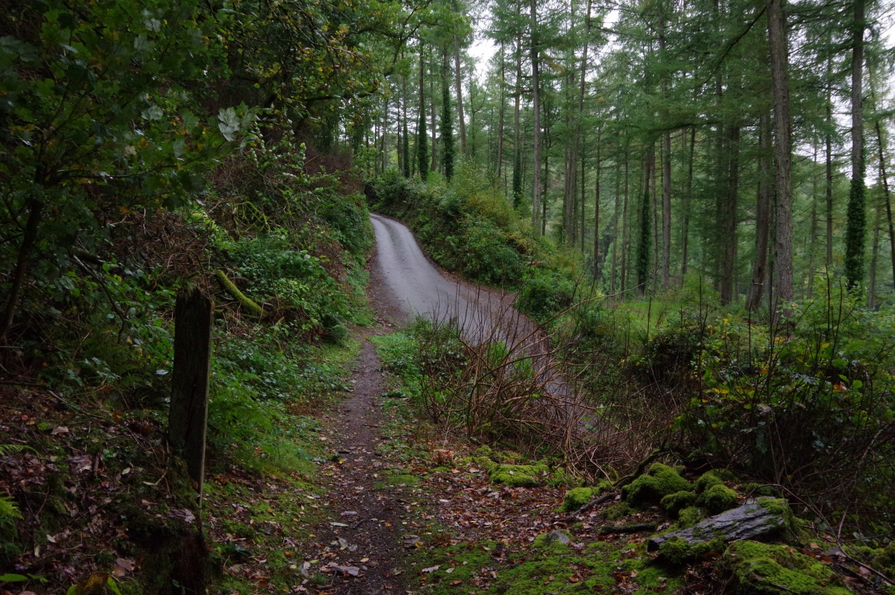
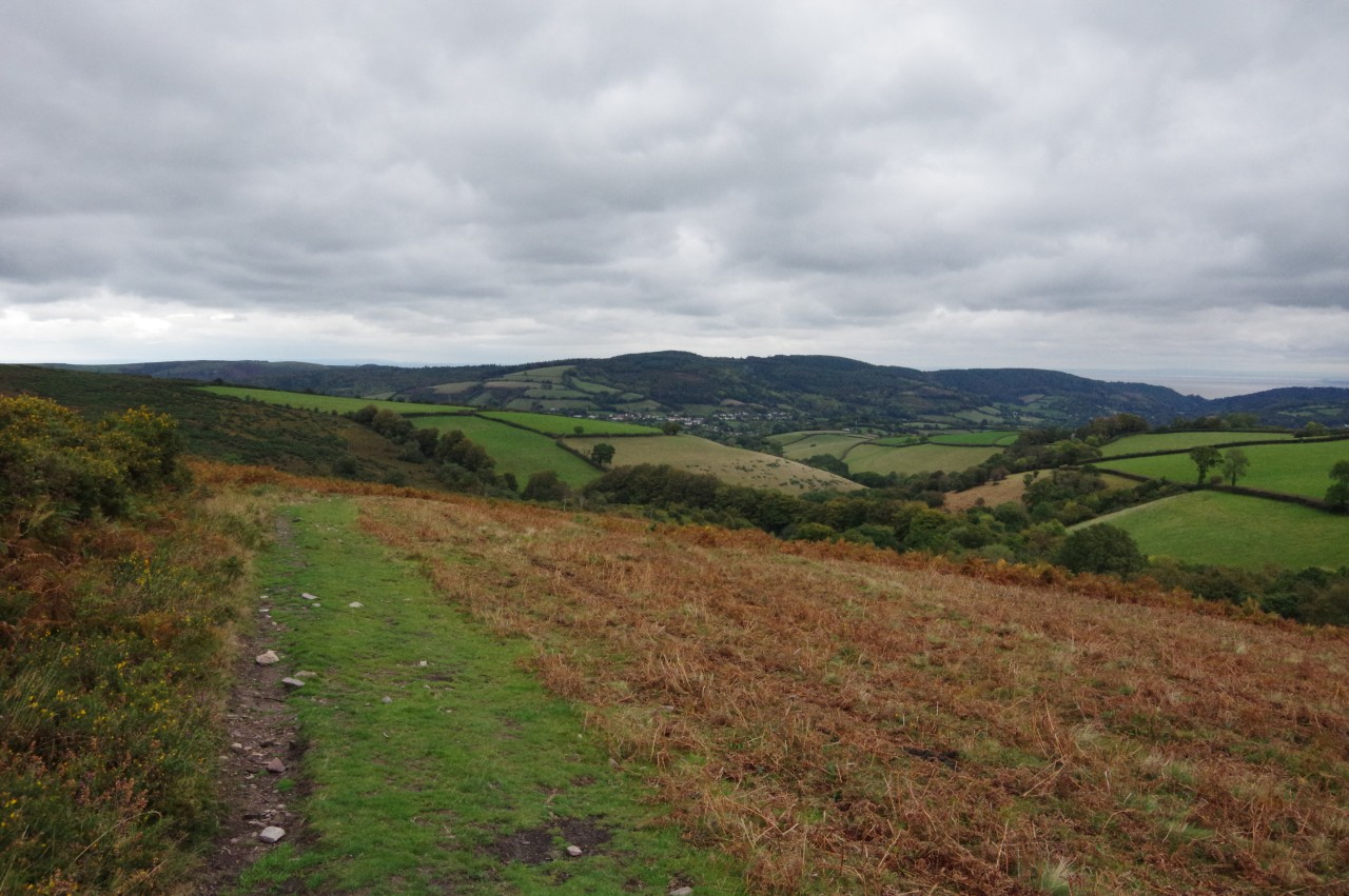
Having walked back along the lane to Cutcombe to rejoin the Coleridge Way, I followed the short track beside Rowan Cottage, leading to a slippery descent down the right side of a rather waterlogged pasture (picture 2). At the bottom of the field, the Way crosses the busy A396 Cutcombe Hill, heading through Watercombe Farm (picture 3), swinging right near the last of the farm buildings and crossing a cattle grid to join the long, winding driveway of Raleigh Manor (picture 4).
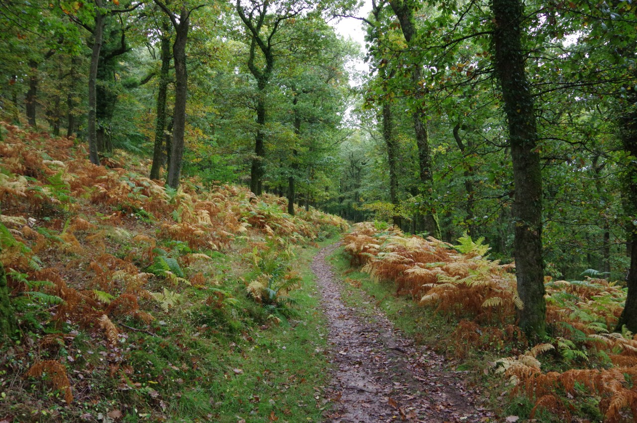
(5) Little Quarme Wood
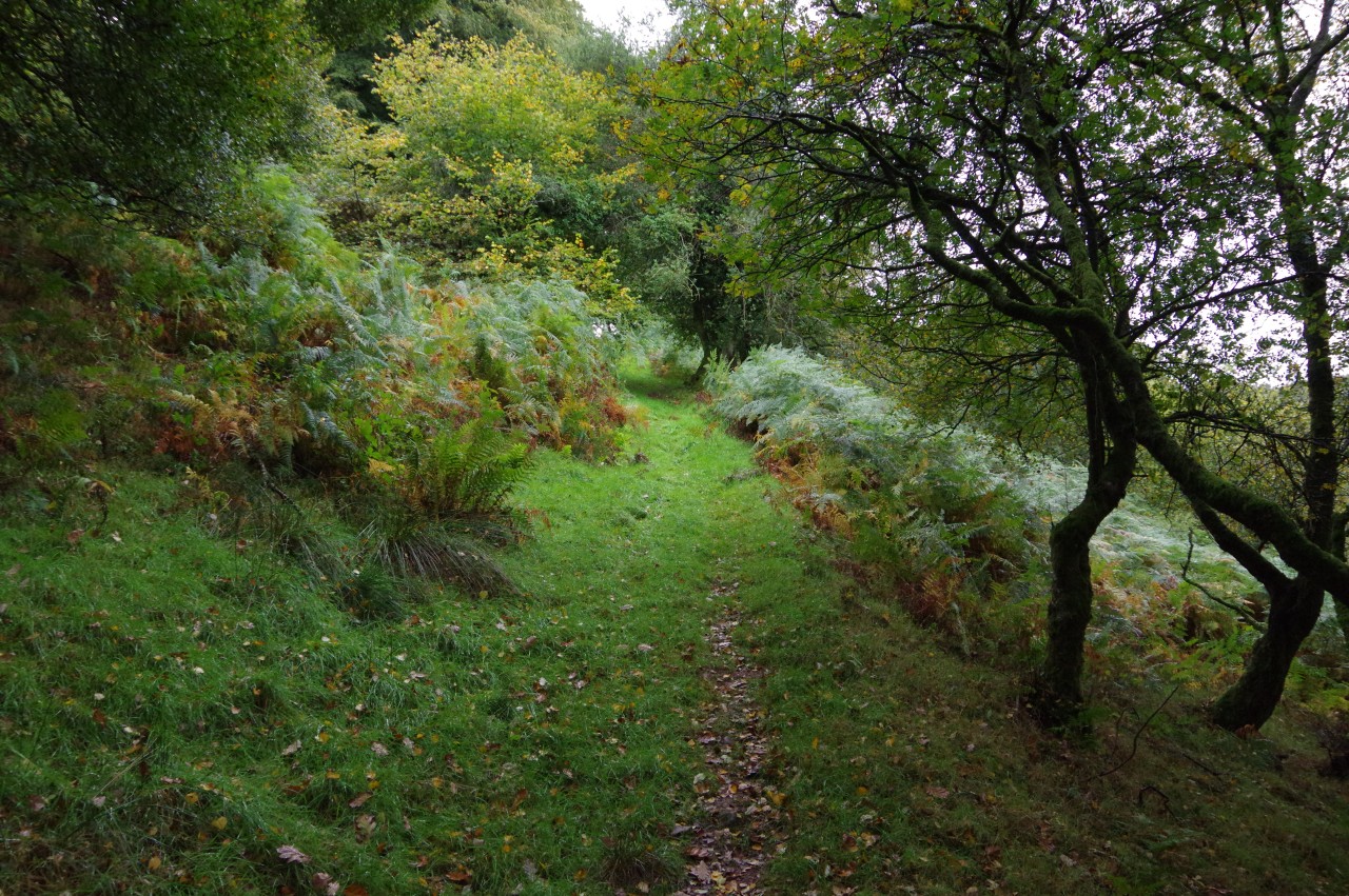
(6) Drapers Way
(7) Avill Valley
(8) Entering Blagdon Wood
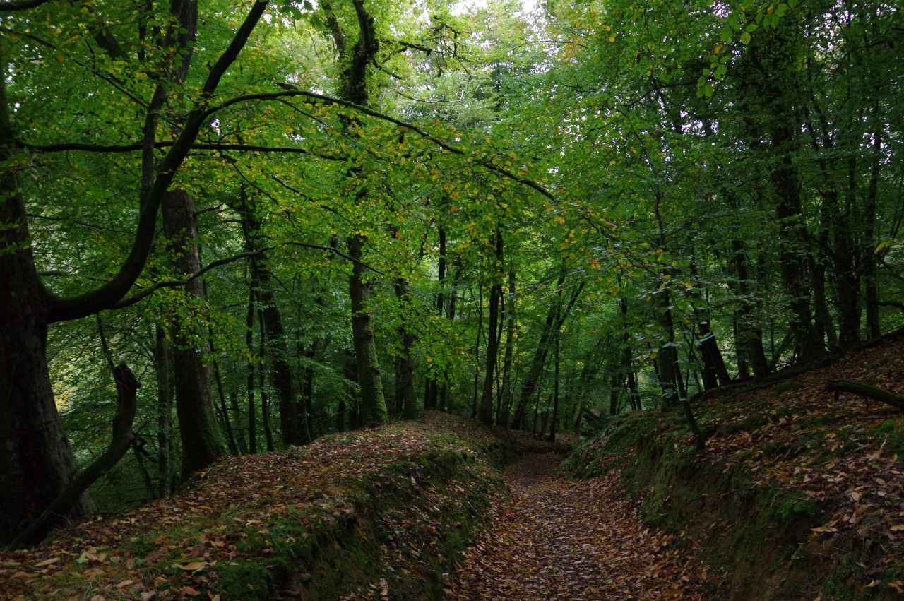
One hundred and fifty metres short of the sprawling manor house, the Way leaves the driveway on a footpath that heads around to the right of the house and through a lush stretch of Little Quarme Wood (picture 5). On the far side of the wood, the path crosses a quiet lane called Drapers Way, where the contrast between the natural woodland on one side and the plantation on the other side was quite striking (picture 6).
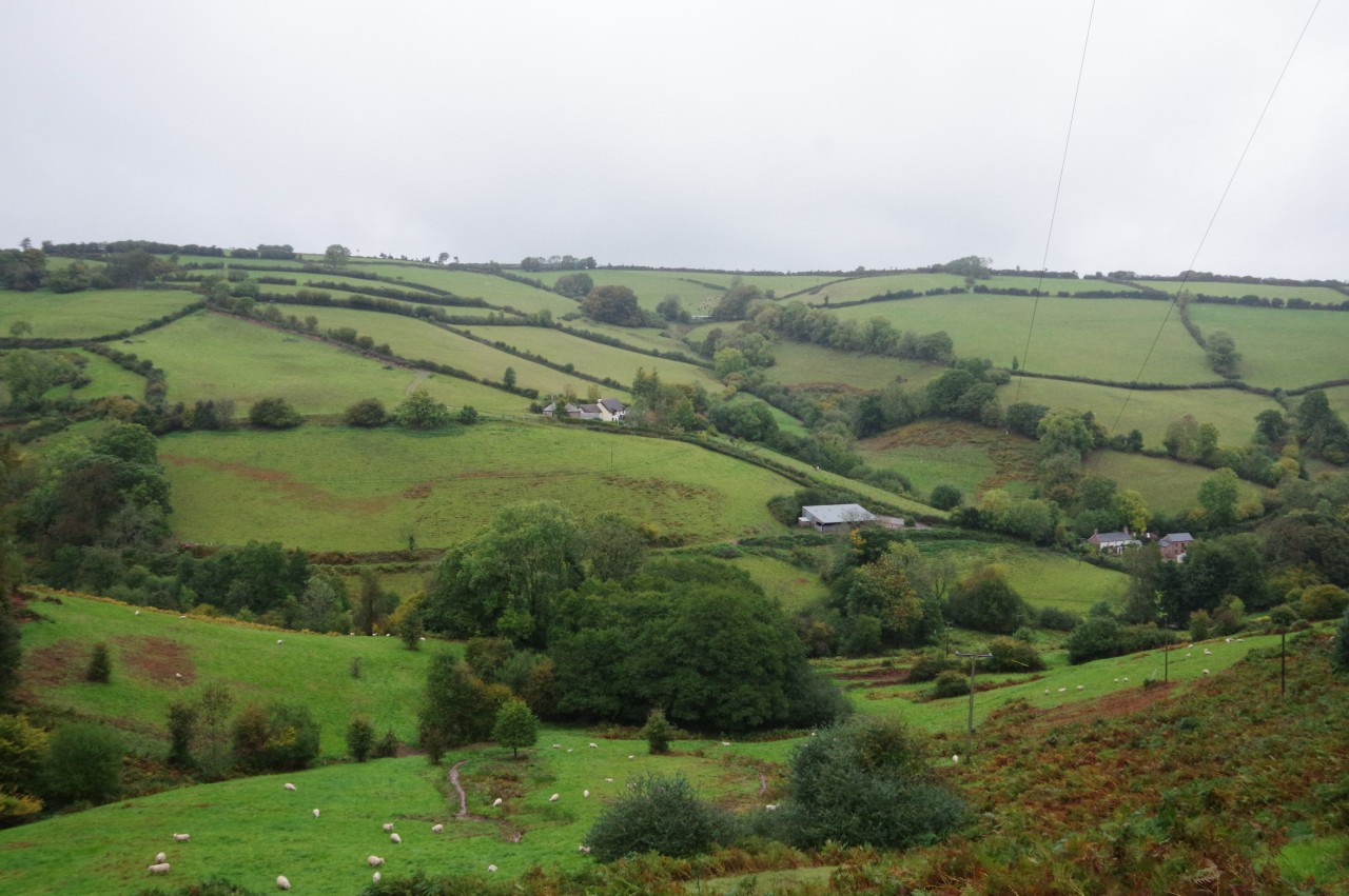
A grassy track leads through the plantation timber and across a sloping hillside overlooking several farms nestled in the valley of the River Avill (picture 7) before the path plunges into Blagdon Wood (picture 8).
(9) Blagdon Wood
(10) Mansley Combe

(11) Mansley Combe
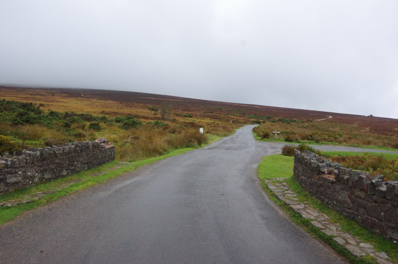
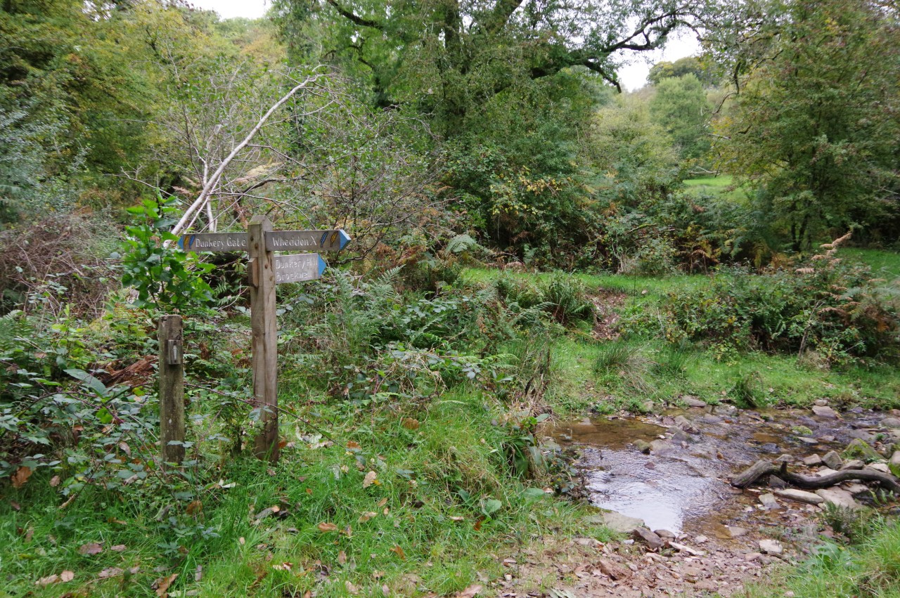
(12) Dunkery Bridge
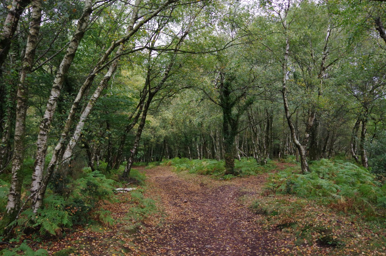
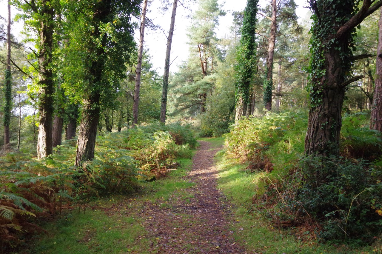
The gate into Blagdon Wood bore a sign informing visitors that the management of the woodland is funded by a grant from the EU Department for Environment, Food and Rural Affairs. As I walked along the fern-lined path through the wood (picture 9), I wondered whether such places and the communities nearby would be better or worse off after Brexit.
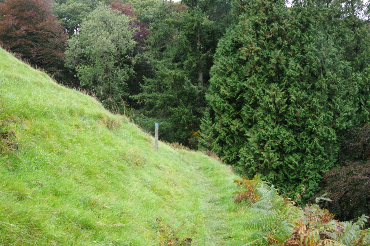
Halfway through Blagdon Wood, the Coleridge Way suddenly makes a sharp right turn, signposted for Dunkery Errish. This is the point where those wishing to make a diversion up to Dunkery Beacon leave the Way. Being of that persuasion, I continued straight ahead to make the long climb up Mansley Combe (picture 10).
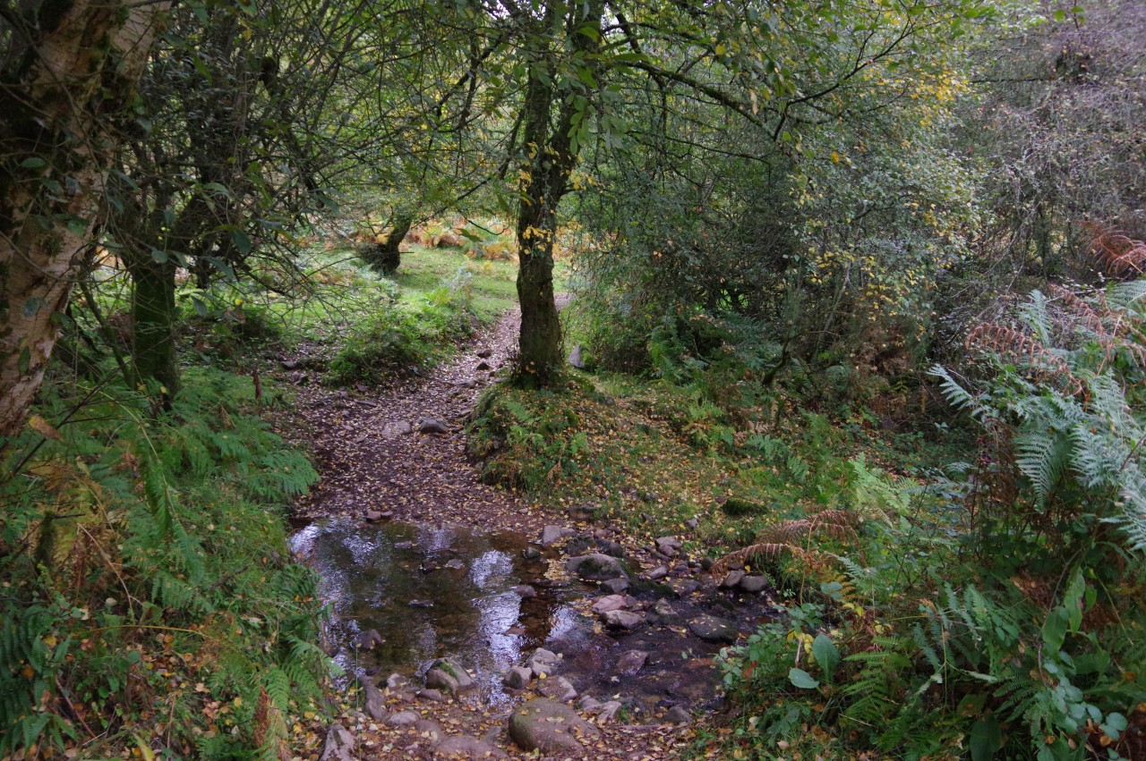
Near the top of the combe, the path runs under a lovely green canopy (picture 11) before crossing rough ground to reach a little stone bridge over the infant River Avill at Dunkery Gate (picture 12). The Avill rises nearby, a little higher up the slopes of Dunkery Hill, and flows into the Bristol channel near the historic medieval village of Dunster, some twelve kilometres away, east of Minehead.
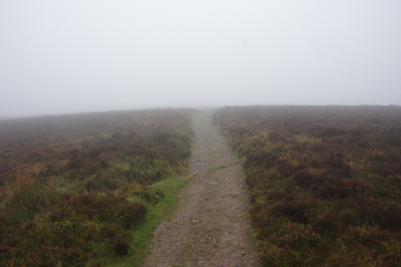
(13) Climbing Dunkery Hill
(14) Summit cairn on Dunkery Beacon
(15) Joaney How Cairn
(16) View towards Bossington Hill and South Wales
Across the bridge, the second path on the left is signposted up Dunkery Hill to its summit at Dunkery Beacon, a steady climb over a kilometre of heather-covered moorland. As I climbed higher, the views quickly disappeared in a veil of mist cloaking the peak (picture 13). It was also significantly colder up here than it had been in the sheltered combes below due to a rather chilly northerly gale.
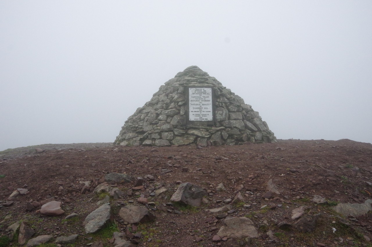
The mist thickened as I approached the summit and I was almost there before I spotted the silhouette of the large cairn that crowns and even larger earth and stone mound on Somerset's highest point at 519 metres above sea-level (picture 14). The large plaque affixed to the cairn commemorates the gift of most of the land on the large plateau of Dunkery Hill to the National Trust by three local landowners in 1935.
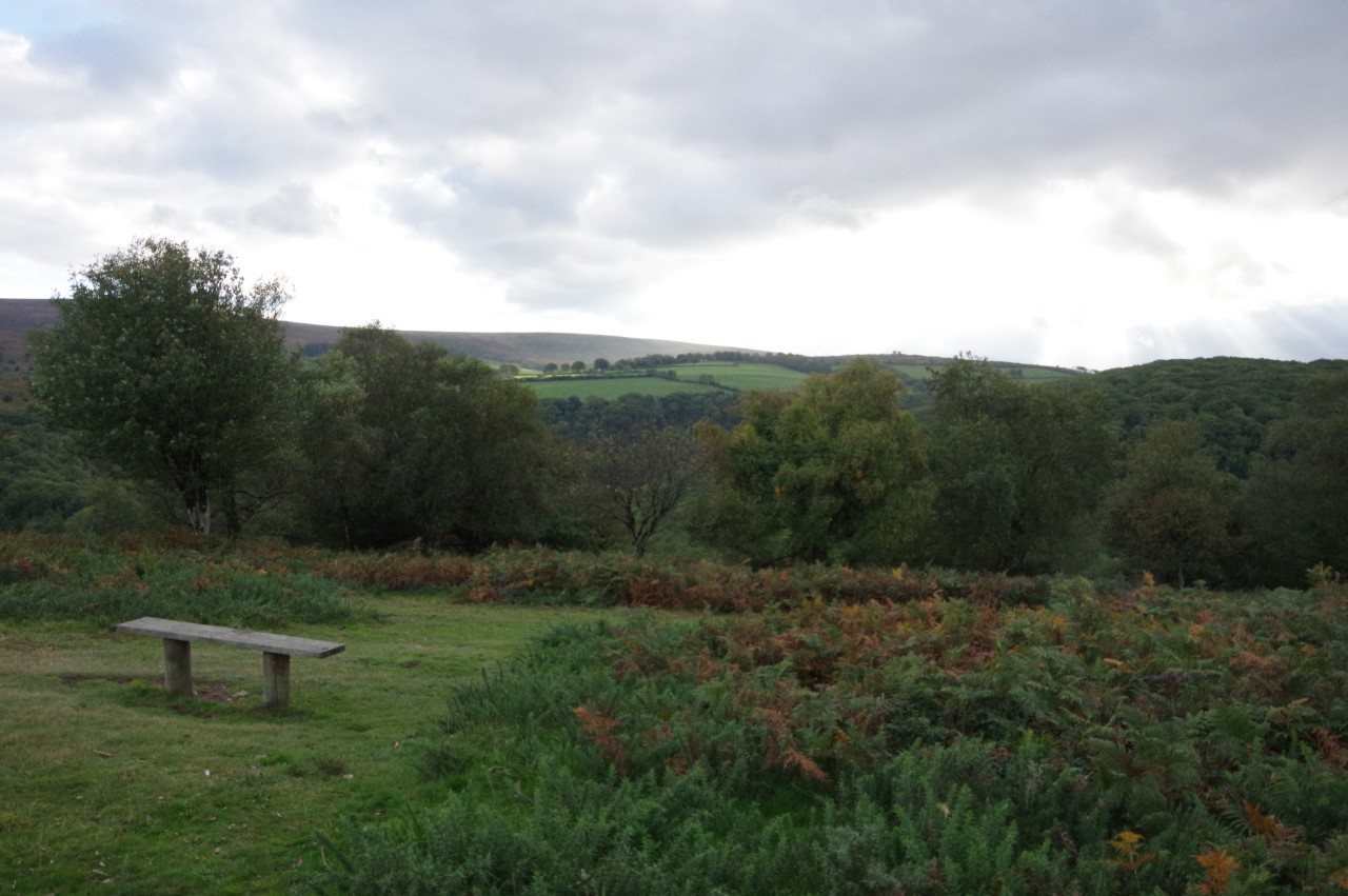
Being rather disappointed by the total lack of views, as well as not wanting to stand still for long in the biting wind, I decided to go for a wander and come back a little while later to see if conditions were any better. On the Ordnance Survey map, I could see a cluster of half a dozen Bronze-Age burial cairns about two kilometres north-east, near the edge of the plateau. A track, part of the Macmillan Way West, goes halfway there, with a short stretch on tarmac and then another footpath going the rest of the way.
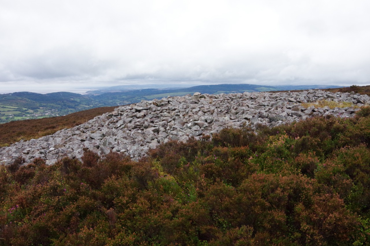
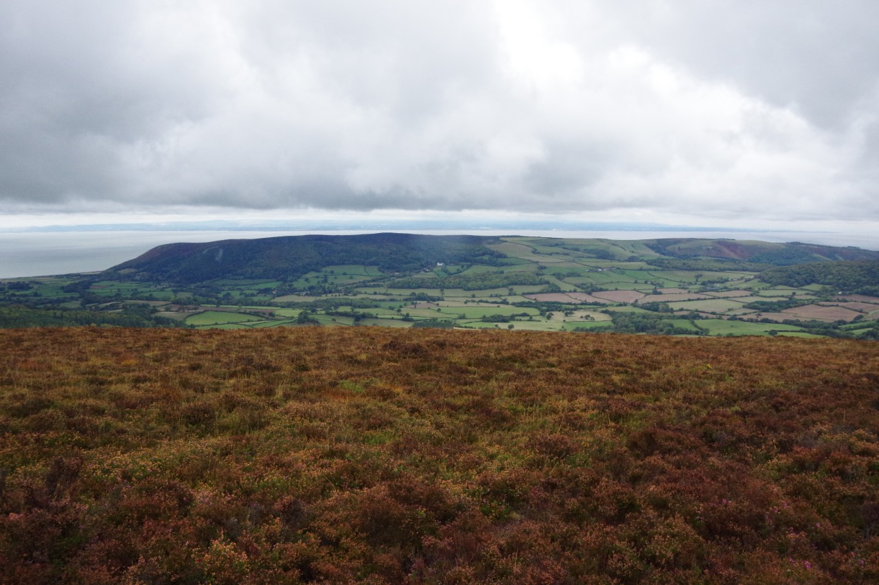
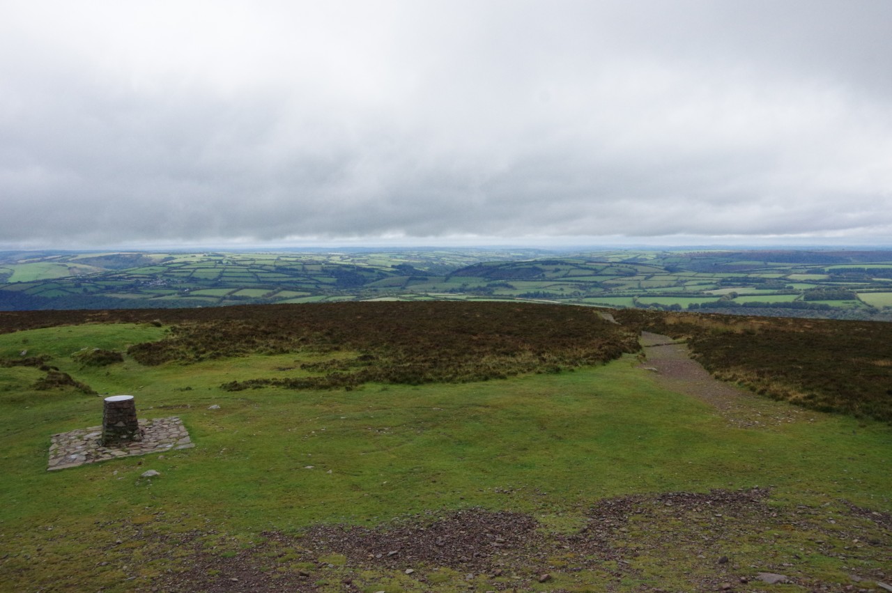
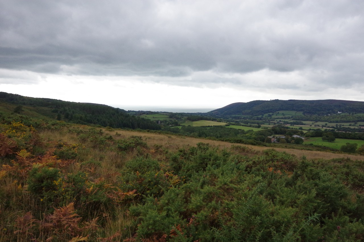
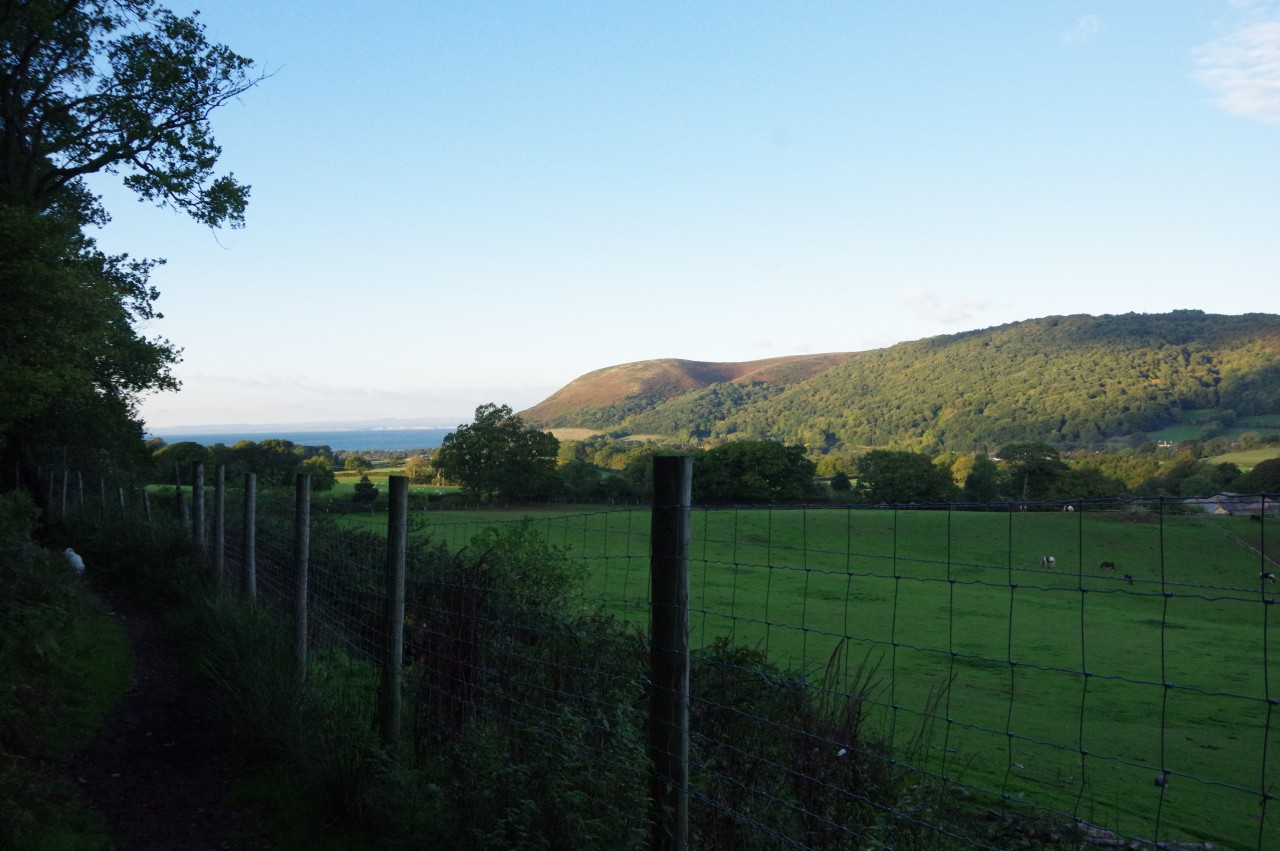
Nearest the edge of the plateau is the Joaney How cairn, which measures twenty-two metres across. From this vantage point, there are views north-east towards Minehead and the Quantocks (picture 15) and northward over Porlock Bay and Bossington Hill to a stretch of the Welsh coast between Porthcawl and Barry (picture 16).
(17) Dunkery Beacon
(18) View from Dunkery Beacon
(19) Langham Wood
(20) River Avill
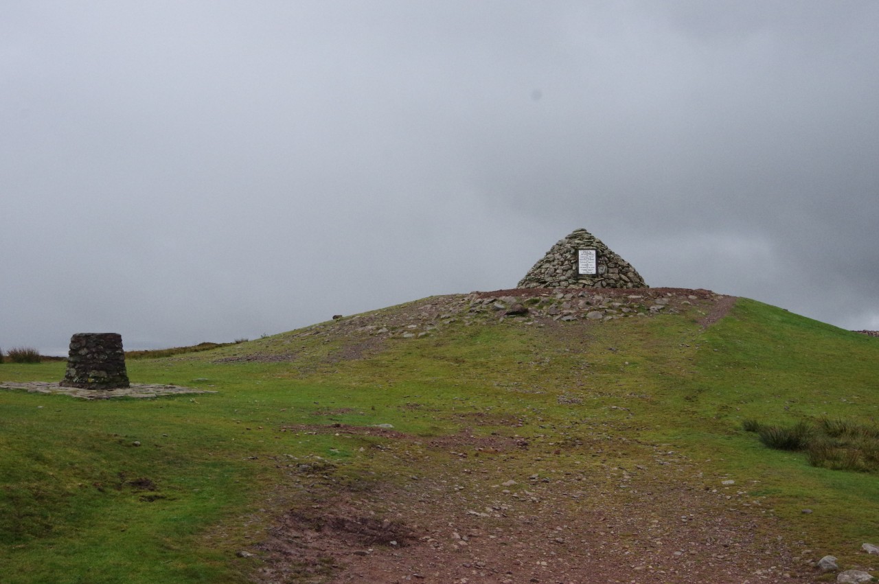
When I returned across Dunkery Hill to Dunkery Beacon, the fog had been lifted by the strong wind (picture 17), at least for long enough for me to use the topograph just below the summit to pick out Wheddon Cross and Lype Hill (on the left of picture 18). On a clear day, it's supposed to be possible to see as far as the peaks of Dartmoor, Bodmin Moor, the Brecon Beacons and the Cotswold Hills.
On this occasion, the views were all to brief, as the fog returned after ten minutes and I decided it was time to move on. I will have to find an excuse to come back in better weather some day, perhaps by walking the Macmillan Way West.
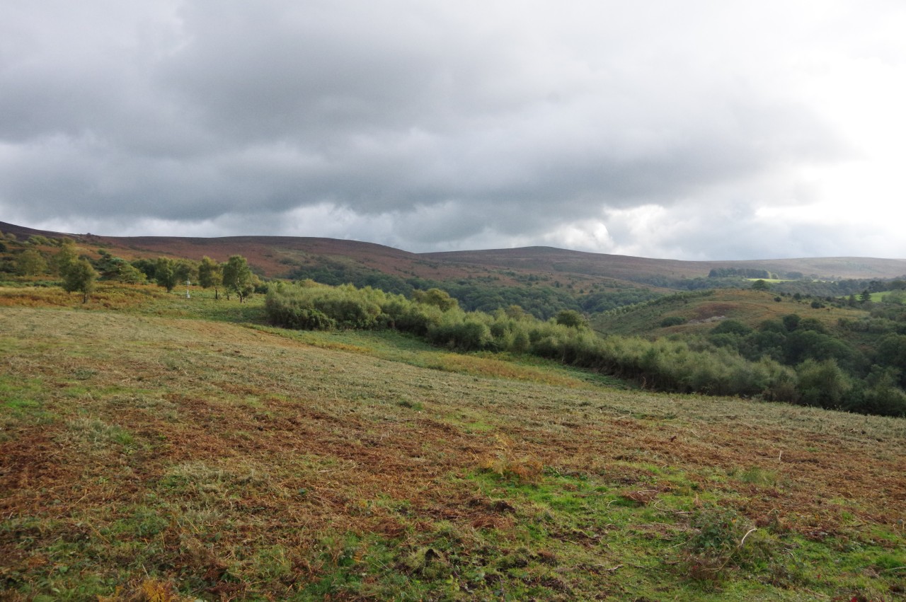
At the end of the long trek back down Mansley Combe to rejoin the Coleridge Way, my GPS showed that I had walked almost eleven kilometres since leaving it (and I had only walked two kilometres on the Way so far). From the junction in Blagdon Wood, the signposted path heads downhill through the adjoining Langham Wood (picture 19) and down into the Avill Valley. After following the trickling river upstream for a while (picture 20), the Way crosses a ford a hundred metres before reaching a signposted left-hand turn in Bincombe Wood.
(21) Approaching Spangate Grove
(22) View toward Wootton Courtenay
(23) Hanny Combe

(24) View over Wootton Courtenay
The path now leaves the wood and enters the National Trust's Holnicote Estate, climbing rough ground alongside the perimeter of a triangular enclosure marked on the map as Dunkery Errish. The Way turns right along the top edge of the enclosure and then bears left outside another enclosed pasture, making for a line of wind-battered trees that extend from the end of Spangate Grove (picture 21).
A stubby signpost to the left of the trees points the way along a rough footpath that angles gently downhill across the eastern face of Dunkery Hill in the direction of the distant village of Wootton Courtenay (picture 22) before turning left and descending more steeply into Hanny Combe. Having crossed a stream in the bottom of the combe, the rocky path climbs steeply out of the combe, soon being forced to bear left to skirt around two sides of an enclosed field before heading in the direction of Wootton Courtenay once again.
Being a little closer to the village now, I could see a circular pattern in the woods on the hillside behind it (picture 24, zoomed), but I couldn't identify it on the OS map, so I have no idea what it is for or how long it has been there. The Coleridge Way doesn't visit the village, so that's another thing that must wait until I get a chance to walk the Macmillan Way West, which passes through the village and climbs over the hill.
(25) Woods near Brockwell
(26) Dunster Path
(27) Holnicote Estate
(28) View toward Dunkery Hill from Webber's Post
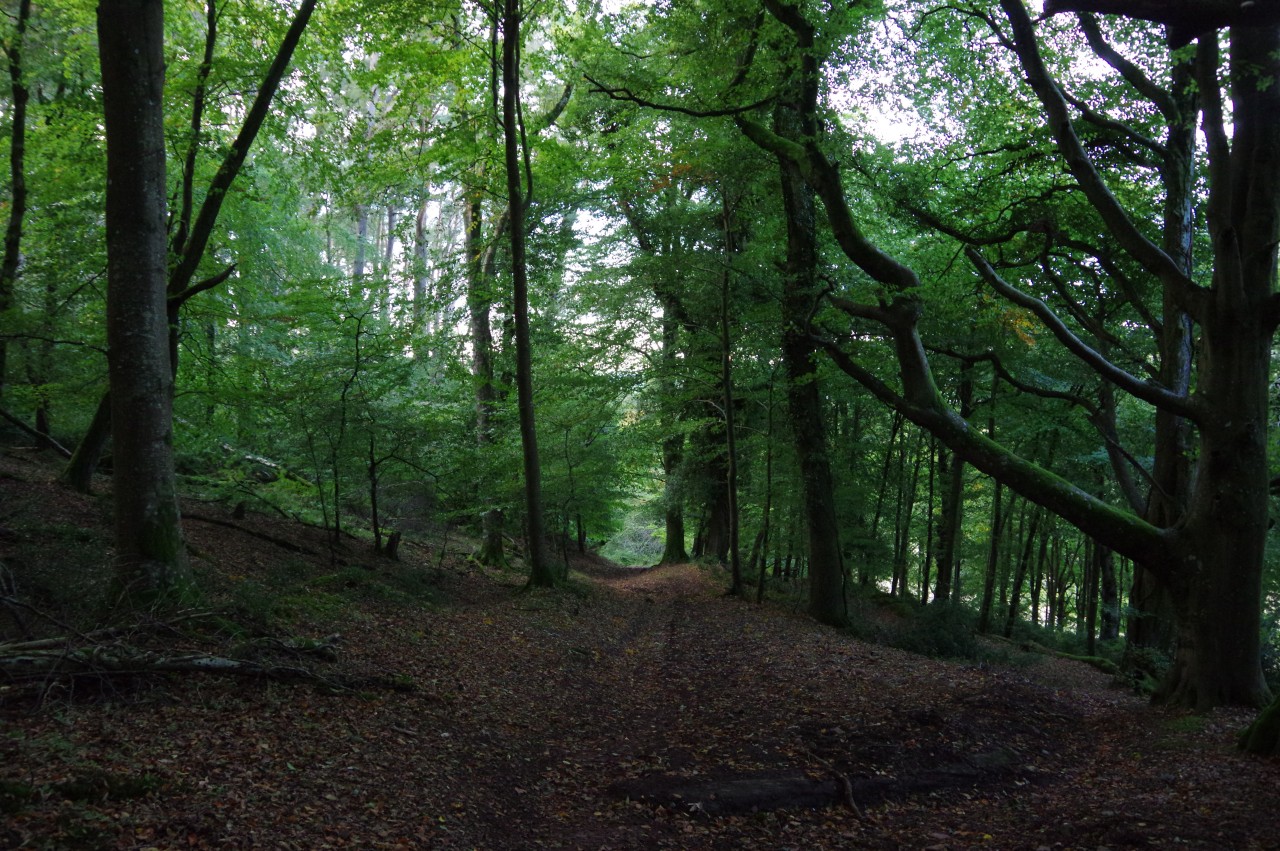
The path descends again, heading into trees where it briefly merges into the Macmillan Way West (picture 25), but the two soon part at a crossing of paths where the Coleridge Way turns left and the Macmillan Way West turns right.
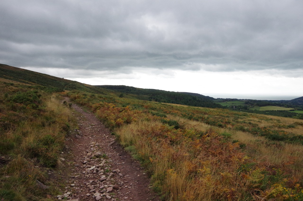
Another stony path, the Dunster Path, climbs out of the trees and heads across the northern face of Dunkery Hill (picture 26). This stretch of a little more than two kilometres passes a kilometre to the north of the cairns I had visited earlier and is almost 200 metres lower in elevation. The Dunster Path crosses rather featureless terrain, but there is a good view over a large section of the Holnicote Estate, along the wide valley leading to Porlock Bay (picture 27).
The Holnicote Estate was gifted to the National Trust in 1944 and merged with the land donated earlier on Dunkery Hill to form a protected area covering forty-nine square kilometres. The estate includes several villages, including a line of settlements that shelter along the foot of the ridge that separates the valley behind Porlock Bay from the coast. One of these villages, Selworthy, is easily identified by its prominent whitewashed church, which is visible for most of the way along the Dunster Path.
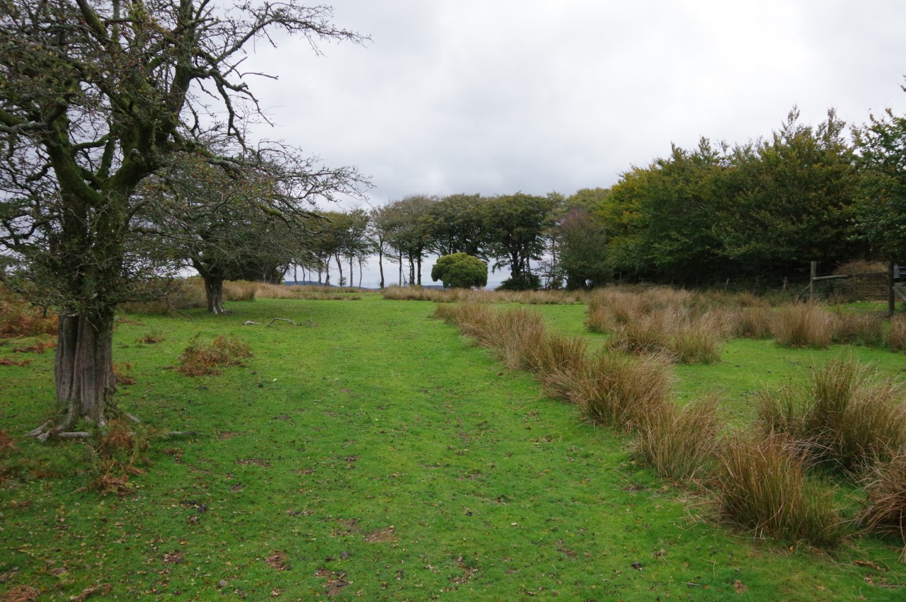
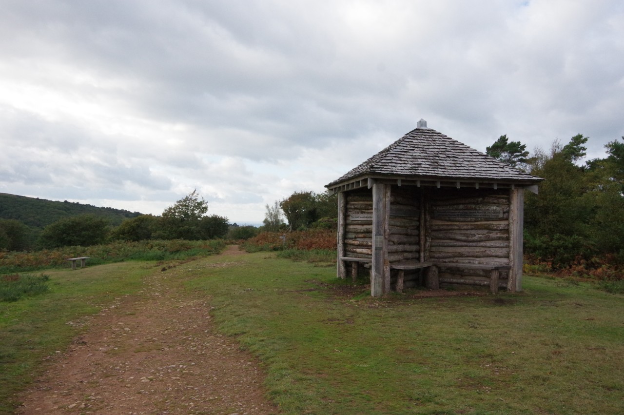
When the low gorse and heather finally begins to give way to slightly taller vegetation, the Way forks right to head through trees and cross two lanes in quick succession to reach a National Trust carpark at Webber's Post. There didn't seem to be an actual post at Webber's Post and an information board points out that it's uncertain who Webber was, but this tranquil spot is an excellent viewpoint for the western side of Dunkery Hill (picture 28).
(29) Horner Hill
(30) Jubilee Hut
(31) View from the Jubilee Hut
(32) Judges Ride
After stopping for a snack, I followed a signposted path that leaves the carpark to head through trees on Horner Hill. Here the sun made it's only appearance for the day (picture 29) and after a couple of minutes it was gone.
The path, on which I passed several dog-walkers, one of whom had six dogs in tow, heads through several small patches of woodland, eventually emerging from a tall stand of Scots pines to pass by the New Jubilee Hut (picture 30), which offers a good viewpoint south-westward over the heart of Exmoor (picture 31). The hut was built in 2002 to celebrate the golden jubilee of Elizabeth II and is 'new' because it replaced a similar structure built for Queen Victoria's diamond jubilee, but badly damaged in the 1940s when the hill was used as an army training ground.
The path continues across Horner Hill, soon bearing slightly left at a fork and heading into denser, darker woodland. At a T-junction of paths, the Way turns right and at the next crossing of paths it goes straight on, crossing His Honour's Path. At a second crossing, the Way turns left on Judge's Ride (picture 32) to descend through the woods to a quiet country lane.
(33) Approaching Horner
(34) Packhorse bridge over Horner Water
(35) Path near Burrowhayes Farm
(36) Porlock Bay
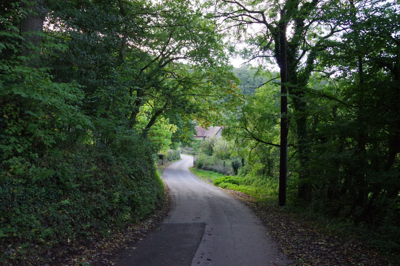
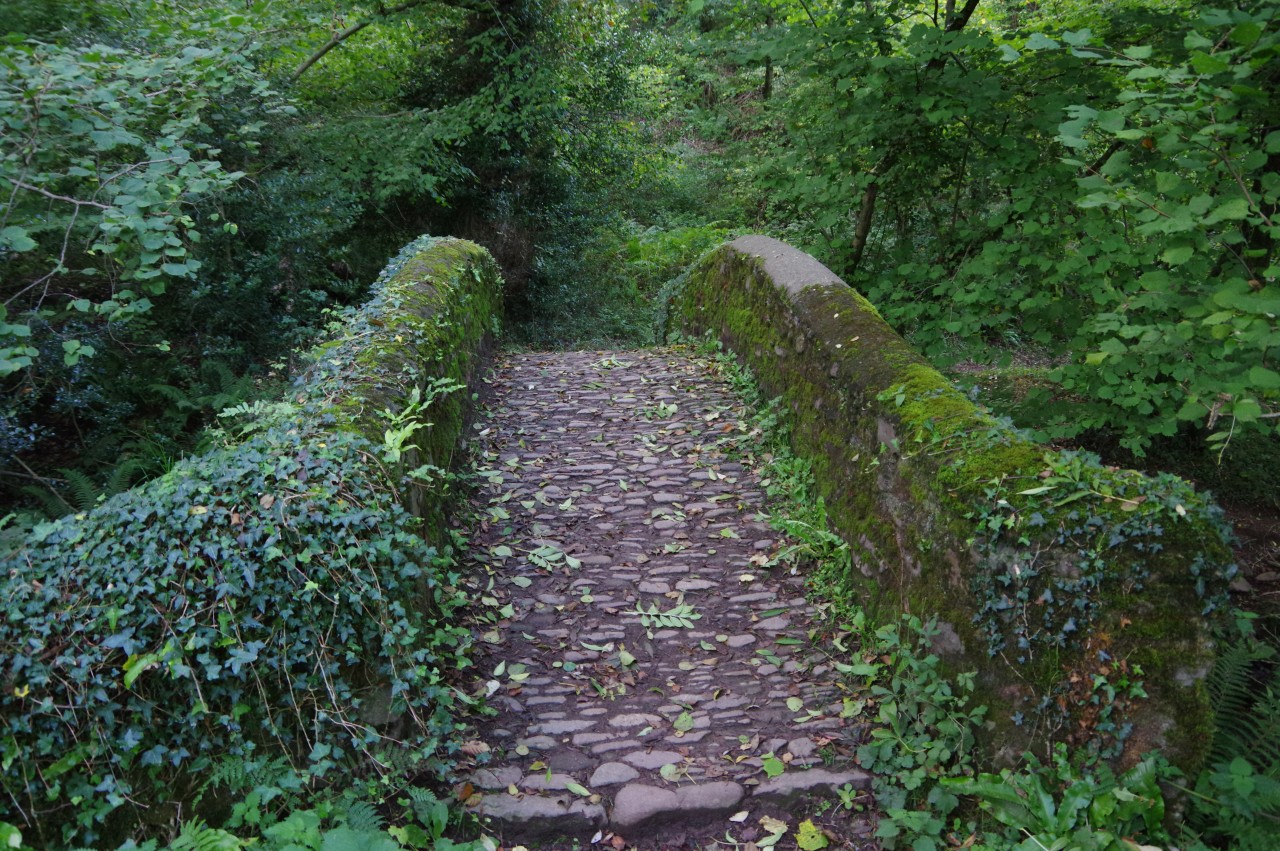
To the left, the lane passes through the sleepy hamlet of Horner (picture 33), passing the Horner Tea Gardens (which was closed at the time) and curving past a small triangular green to come up beside the shallow stream of Horner Water. Near the last house, the arch of an ancient, moss-covered packhorse bridge (picture 34) takes the Coleridge Way over the water and back into woodland.
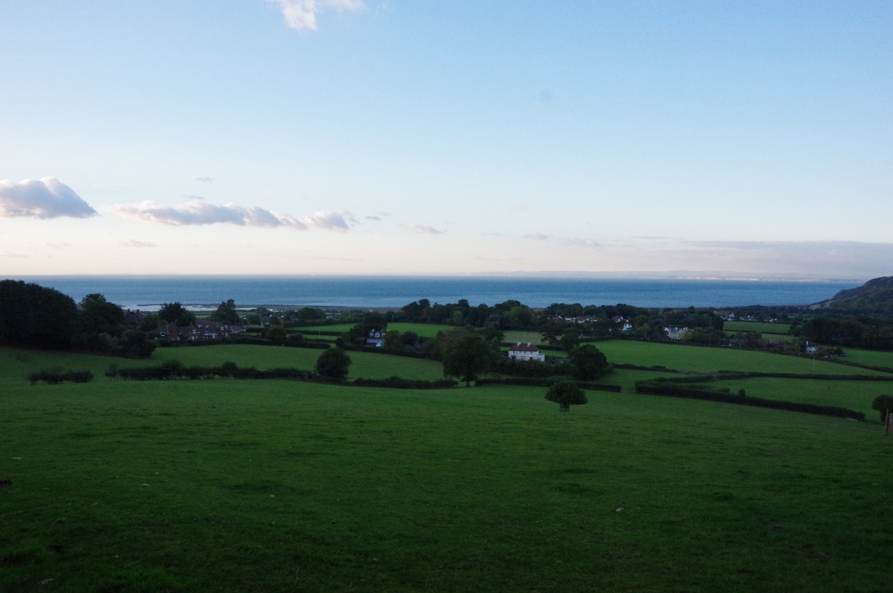
The path runs along the edge of the wood, passing above a large camping field at Burrowhayes Farm (picture 35) then gradually curving left along Granny's Ride to join a lane and climb over a small rise from which there is a view over Porlock Bay (picture 36).
(37) Thatched houses
(38) Church of St Dubricius
(39) High Street, Porlock
(40) The Ship Inn, Porlock
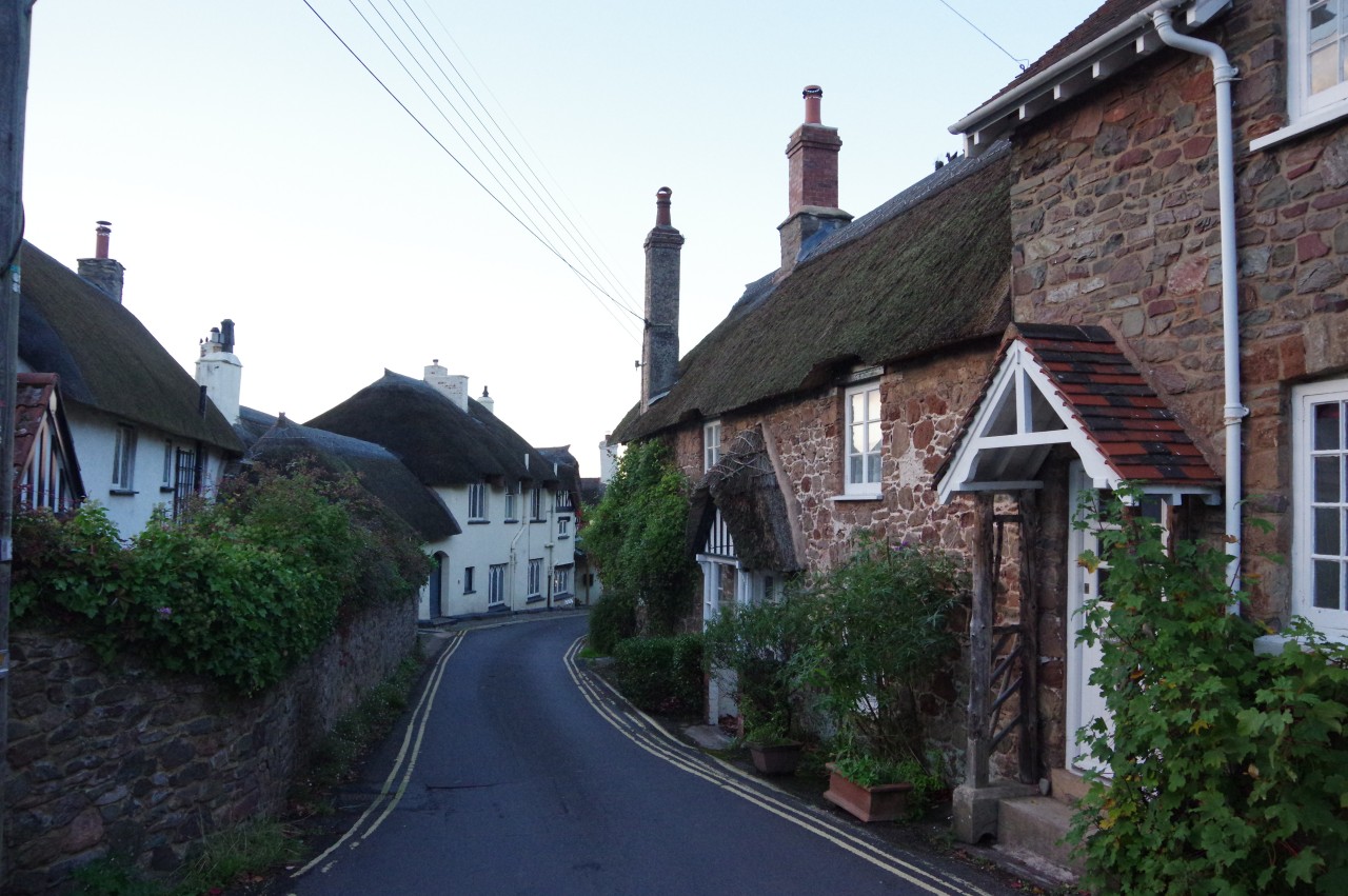
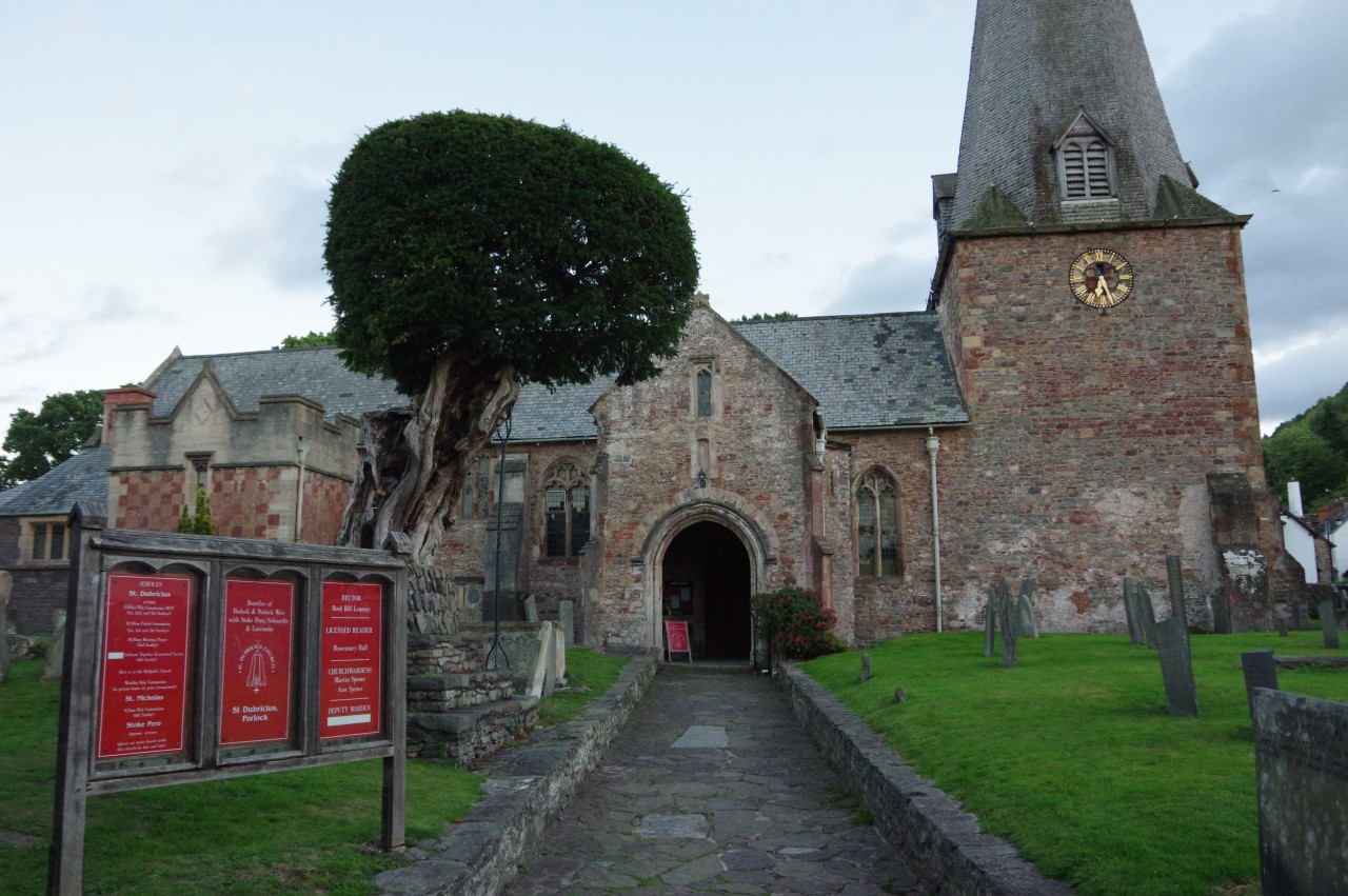
The lane soon crosses over a cattle grate to leave the Holnicote Estate and winds its way downhill into the large village of Porlock. Just before the narrow lane passes between a group of attractive thatched houses (picture 37), the Way turns left up the short Coach Road to join a narrow brick-walled path called The Drang. This path winds its way between houses to emerge on Porlock's High Street in front of the 13th-century Church of St Dubricius (picture 38).
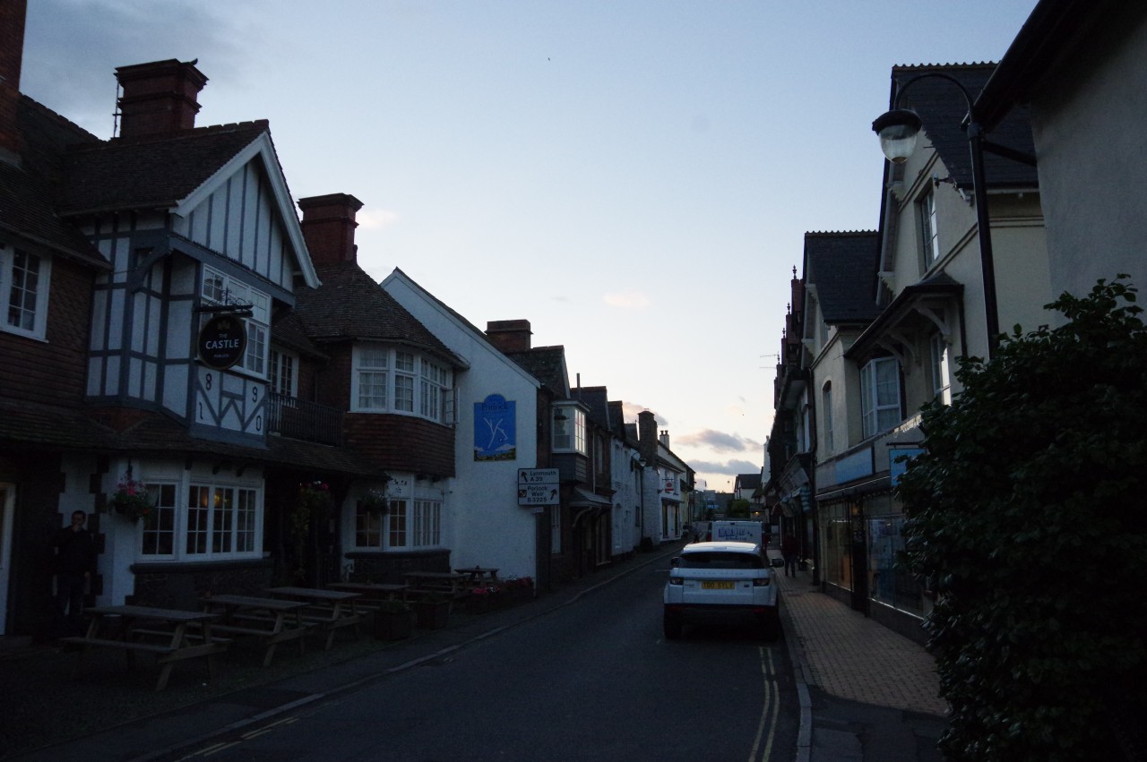
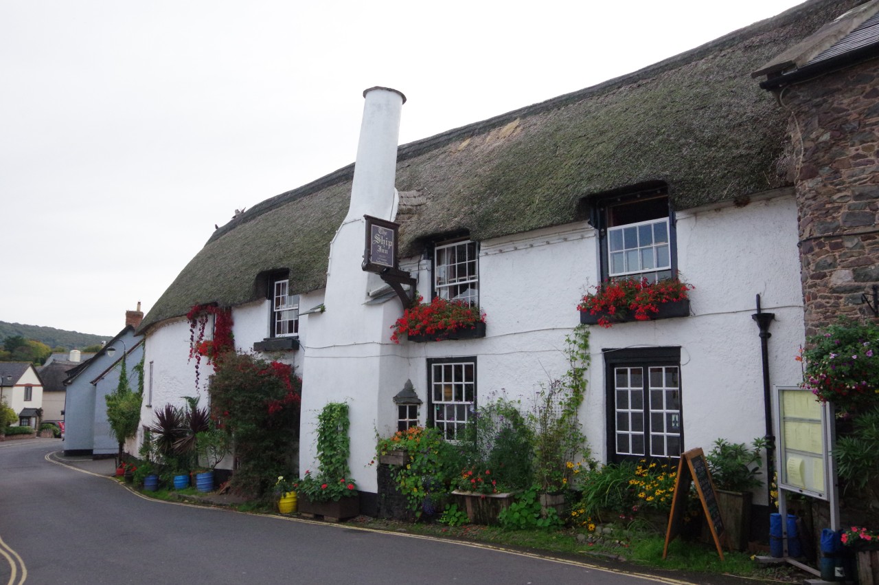
Turning west along the High Street (picture 39), now rather quiet as night was beginning to fall, I walked up to the far end, where the Ship Inn (picture 40) stands at the foot of the A39 Porlock Hill, reputed to be the steepest main road in England, with a gradient of one in four.
This was the end of the day's walk, as the popular thatched inn was to be my overnight stop for the next two nights. I had only covered 13.6 kilometres of the Coleridge Way, but, with my long excursion to Dunkery Hill, I had walked a very respectable 25 kilometres for the day.