COLERIDGE WAY
Stage 1: Nether Stowey to Sampford Brett
Tuesday, October 2, 2018
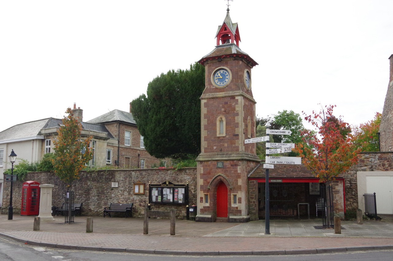
(1) Clock Tower
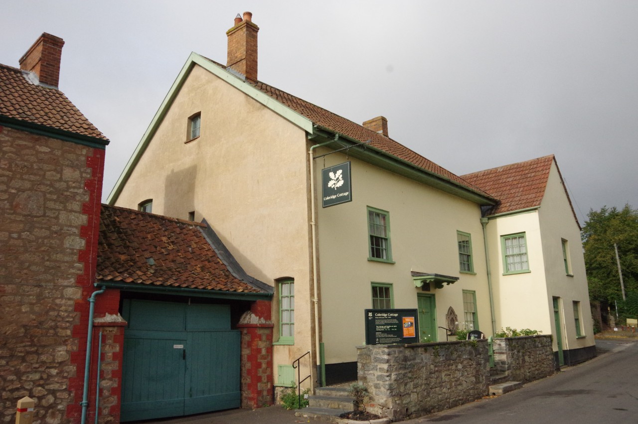
(2) Coleridge Cottage
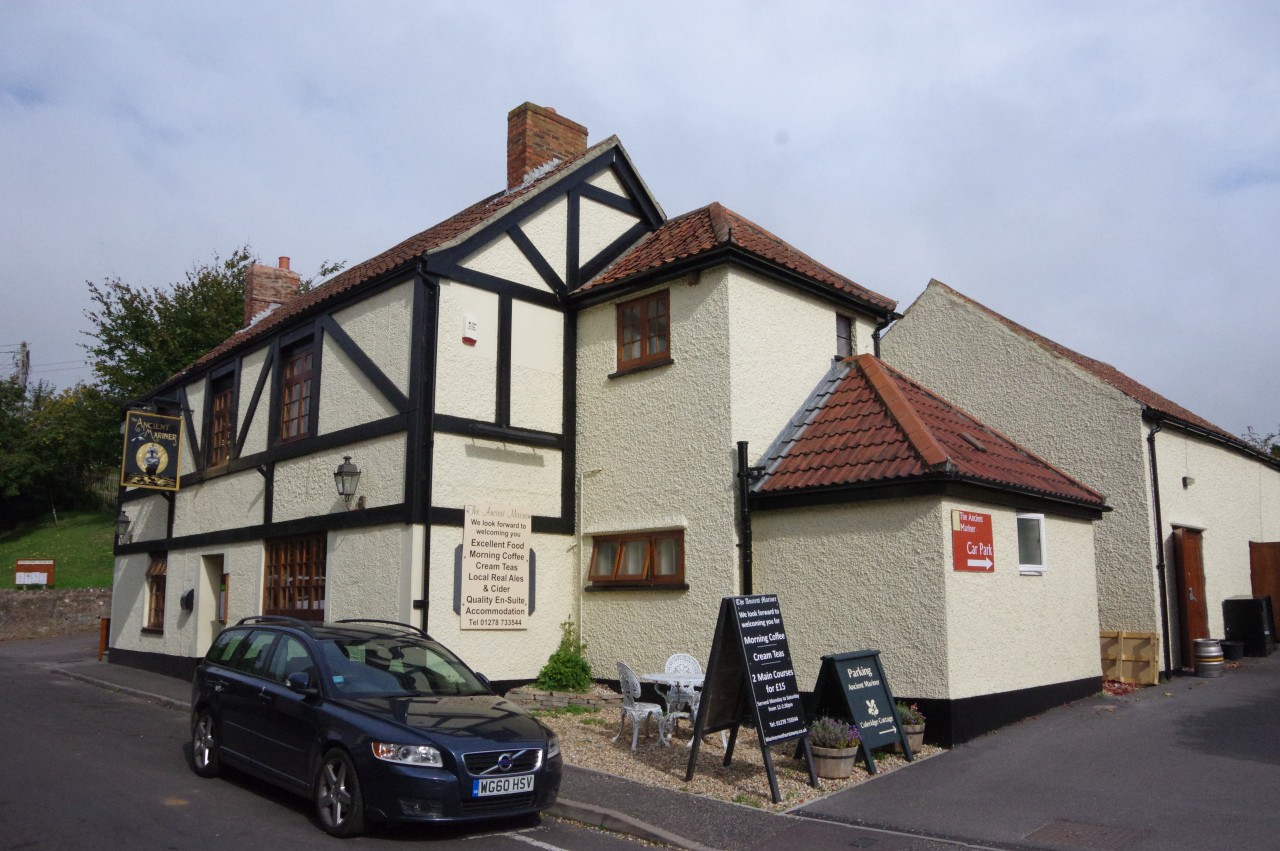
(3) The Ancient Mariner

(4) Lime Street
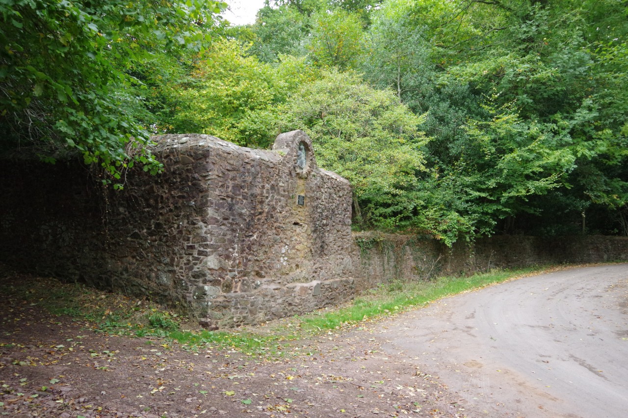
After a very sound night's sleep in The Old House, in the very room where the Coleridges stayed when they first arrived in Nether Stowey, I enjoyed a wonderful breakfast and a long chat with my hosts before bidding them farewell and wandering up St Mary's Street to the three-way junction with Castle Street and Lime Street. In Coleridge's time, an open-sided octagonal market cross topped by a steep wooden roof and a turret displaying a clock stood in the middle of the junction. In 1897 this was replaced by a stone clock tower built off to the side of the junction adjoining the village's former lock-up (picture 1).
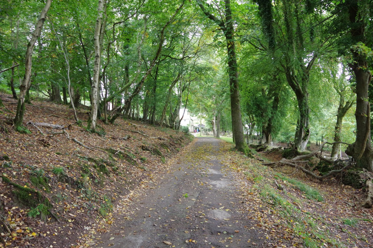
I walked straight through the junction and ahead up the narrow Lime Street to the start of the Coleridge Way at number 37, better known as Coleridge Cottage (picture 2). I already knew the way there, as the Ancient Mariner pub (picture 3), where I had dined the previous evening, stands opposite the cottage. Coleridge himself never ate nor drank there, however, as the pub only dates back to the mid 1800s.
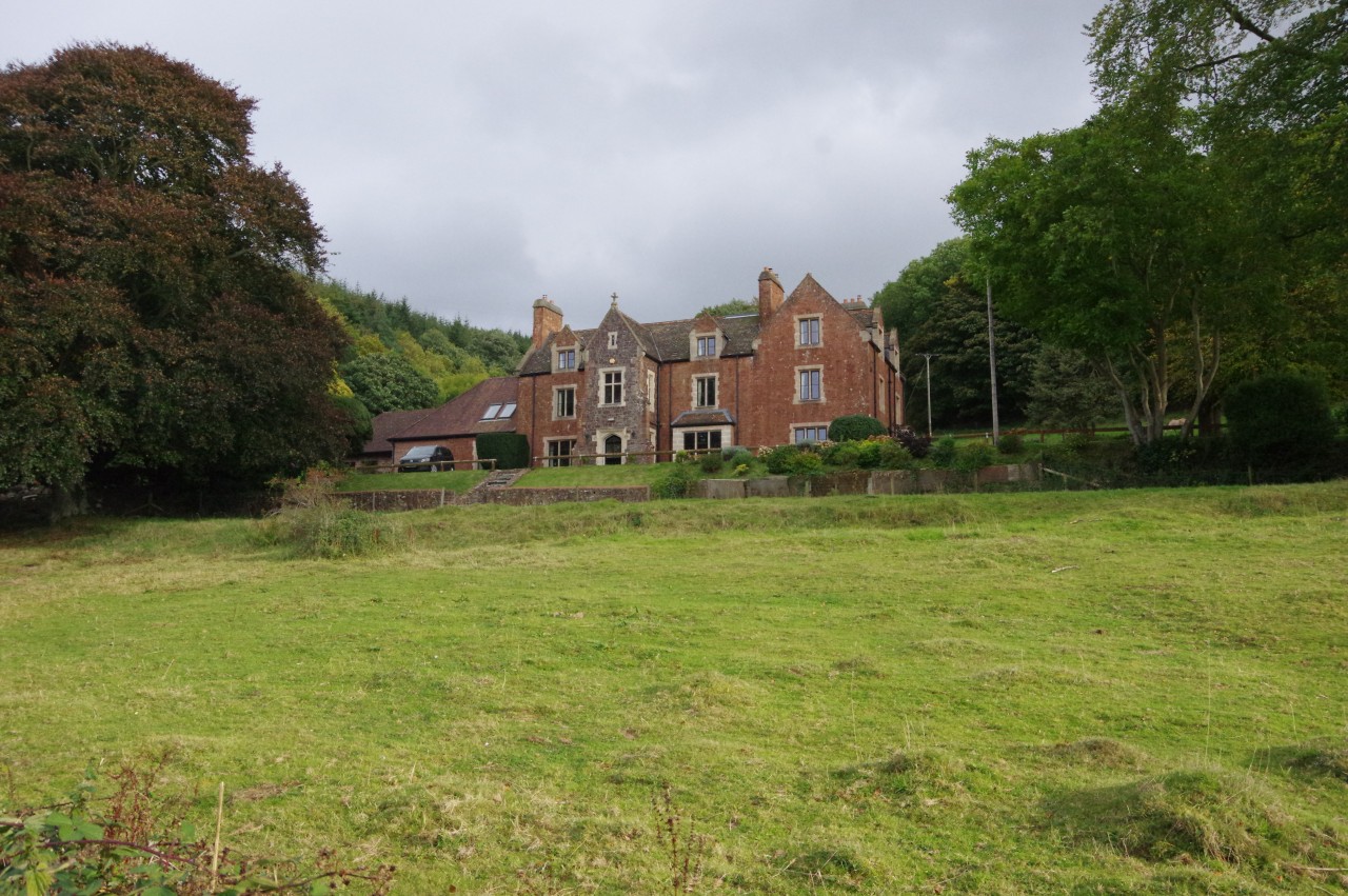
The cottage, where Coleridge lived with his wife and young son for three years at the end of the 18th century, has been in the care of the National Trust since 1908 and is open to the public. In Coleridge's day, the cottage was the last building as the street left Nether Stowey, but in the intervening two centuries the village has grown and today the cottage is closer to the centre than it is to the edge.
I had arrived a few minutes before the cottage's eleven o'clock opening time, so I sat on the front step and began to thumb through my volume of Coleridge's poems until one of the caretakers appeared and admitted me to the front sitting room. The poet's humble abode has been restored to look much as it would have done when he lived there, though it was already around 150 years old when he took up residence. The exhibits give an overview of Coleridge's life and an interesting insight into domestic life at the end of the 18th century, so I was glad to have set aside some time to visit the property before beginning my walk.
After exploring the cottage and its large back garden, I headed off on the Coleridge Way, walking back past the close-packed houses of Lime Street (picture 4) to the junction by the clock tower, which now showed a quarter past noon.

(5) Castle Street
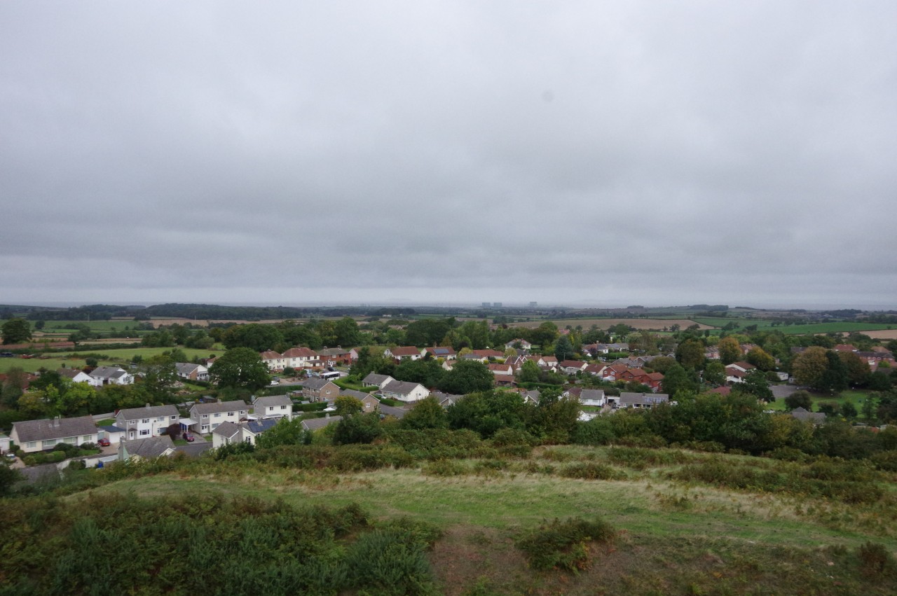
(6) View from Nether Stowey Castle
(7) Watery Lane
(8) Approaching Walfords' Gibbet
I turned right into the broad Castle Street (picture 5), where the culverted Stowey Brook runs down the left side. Castle Street climbs gently at first and curves to the left, passing the entrance of Tanyard, where Coleridge and his friends used to sit under lime trees that inspired his poem This Lime-Tree Bower My Prison.
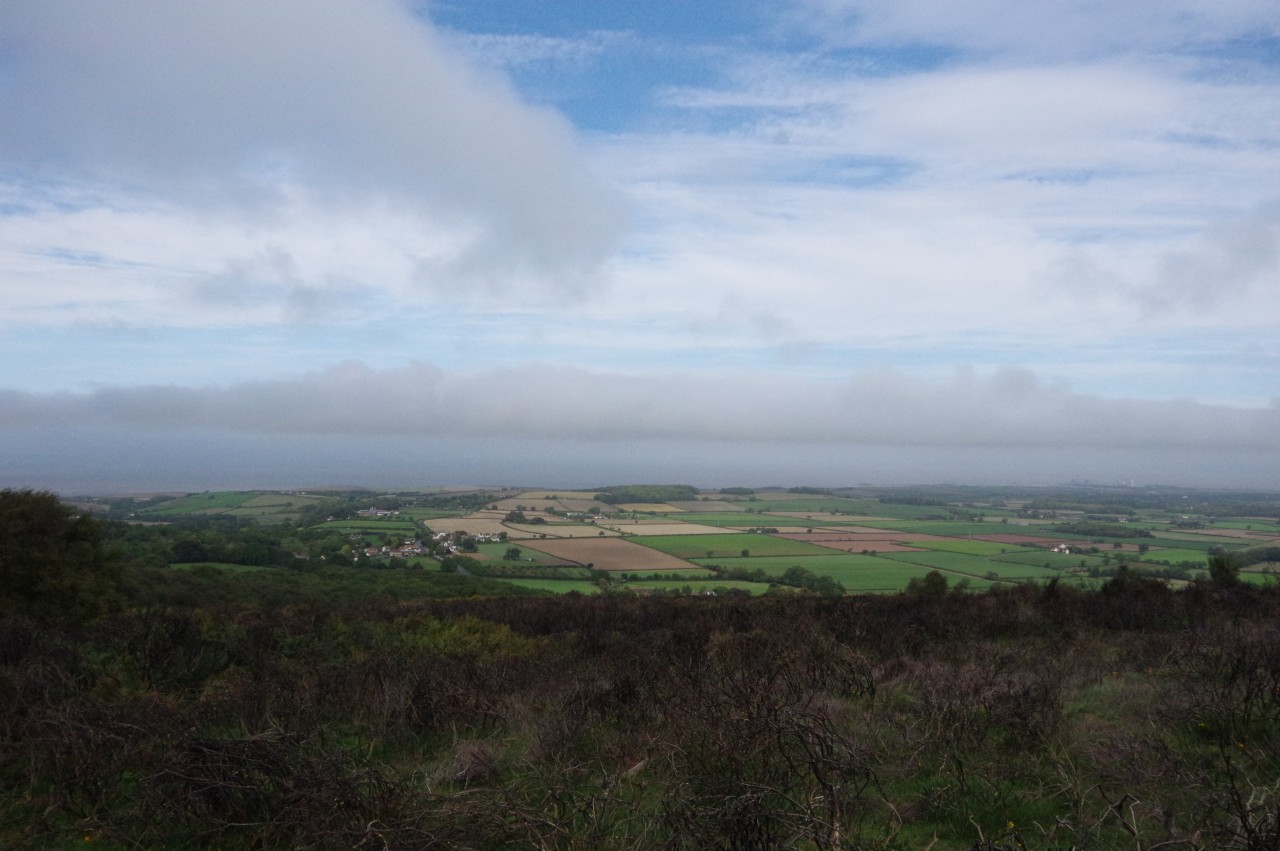
Castle Street becomes Castle Hill, which climbs more steeply to pass by a gate leading to a steep mound where the Norman motte and bailey of Nether Stowey Castle stood from early in the 12th century until late in the 15th. From the top of the castle mound, where the foundations of the castle keep are still visible, there are views over the newer part of the village towards the Bristol Channel and the Hinkley Point nuclear power stations (picture 6).
Nether Stowey is considerably older than its castle. The name Stowey means "stone way" or "paved way", referring to the Herepath, an Anglo-Saxon military road across the Somerset Levels, which passed through the village before climbing to Over Stowey and onward into the Quantock Hills.
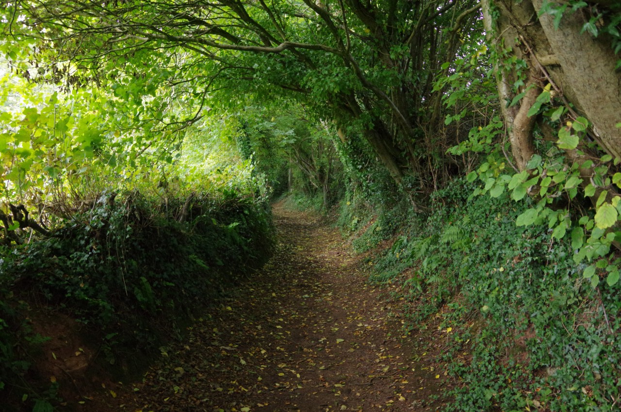
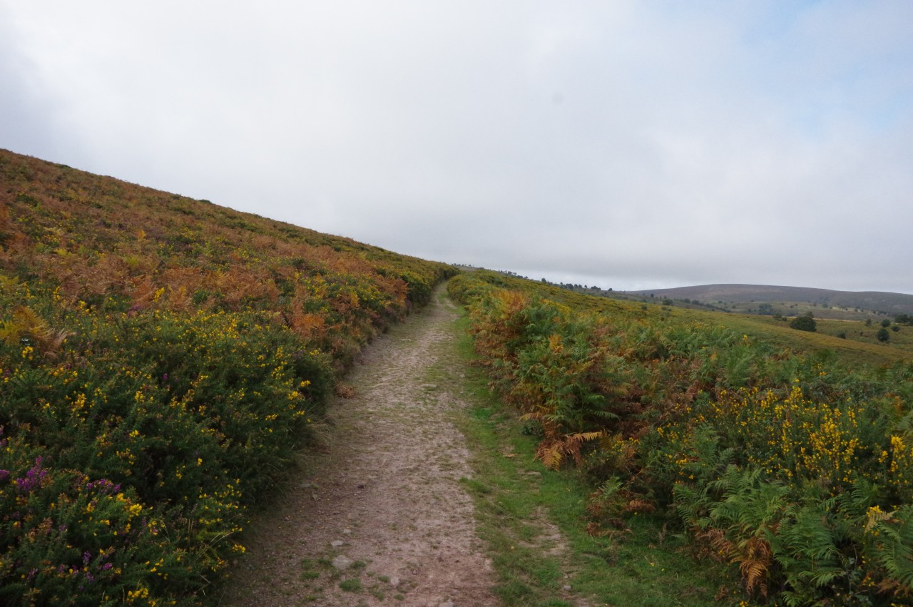
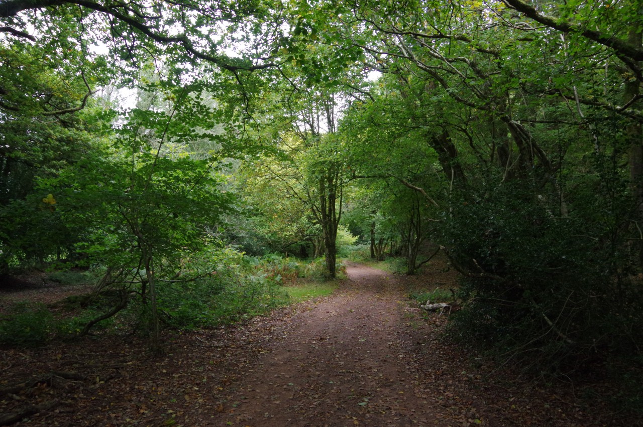
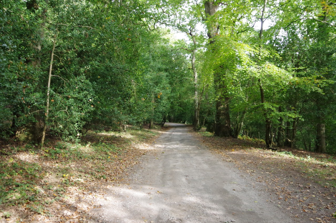
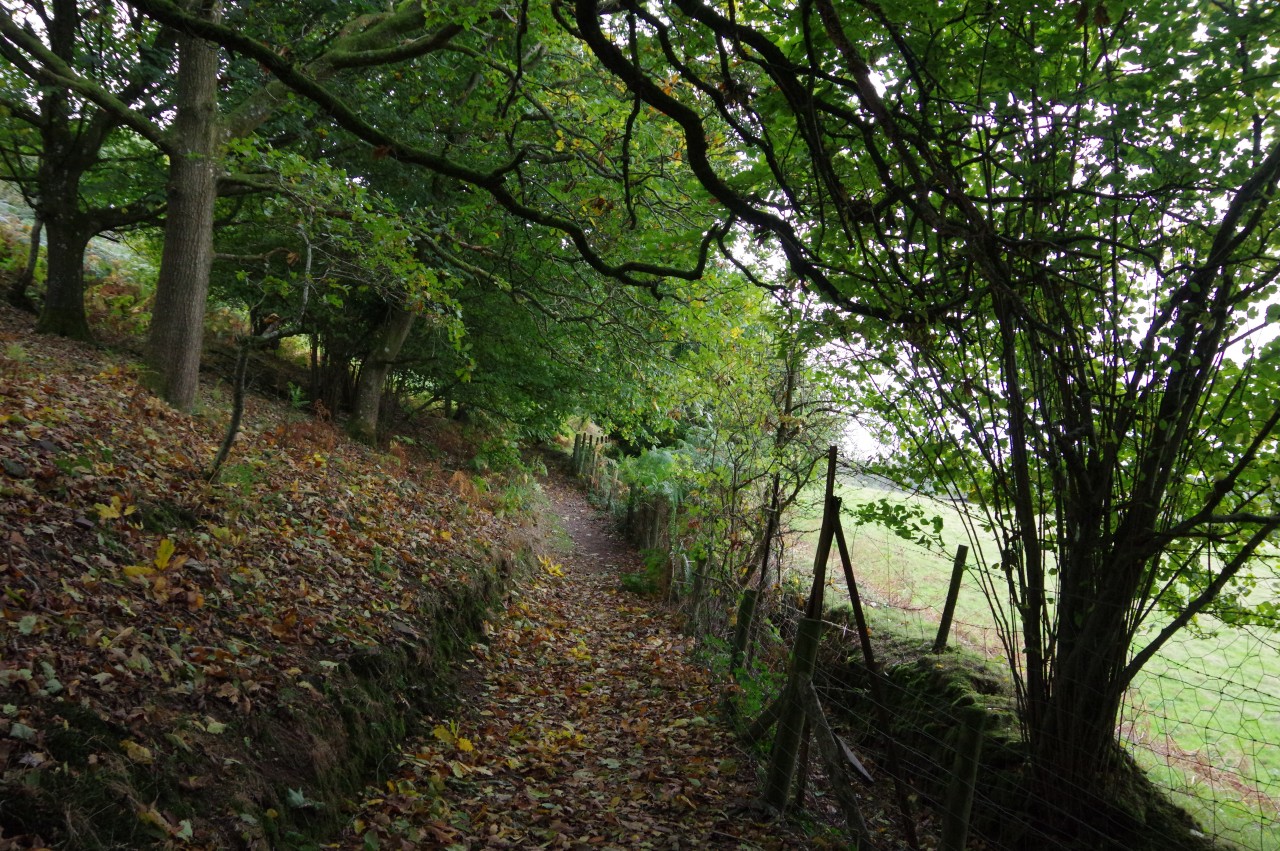
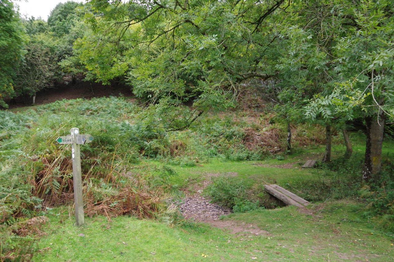
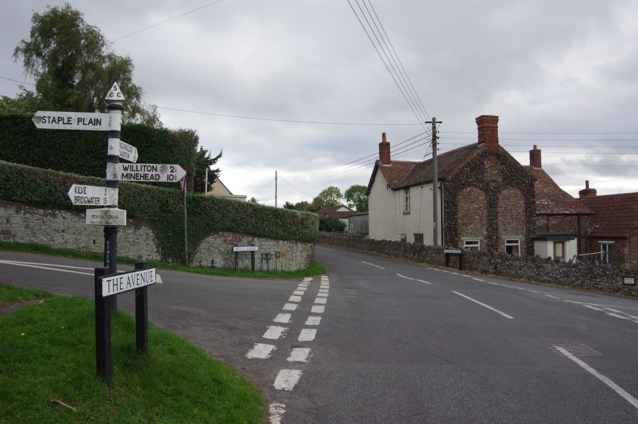
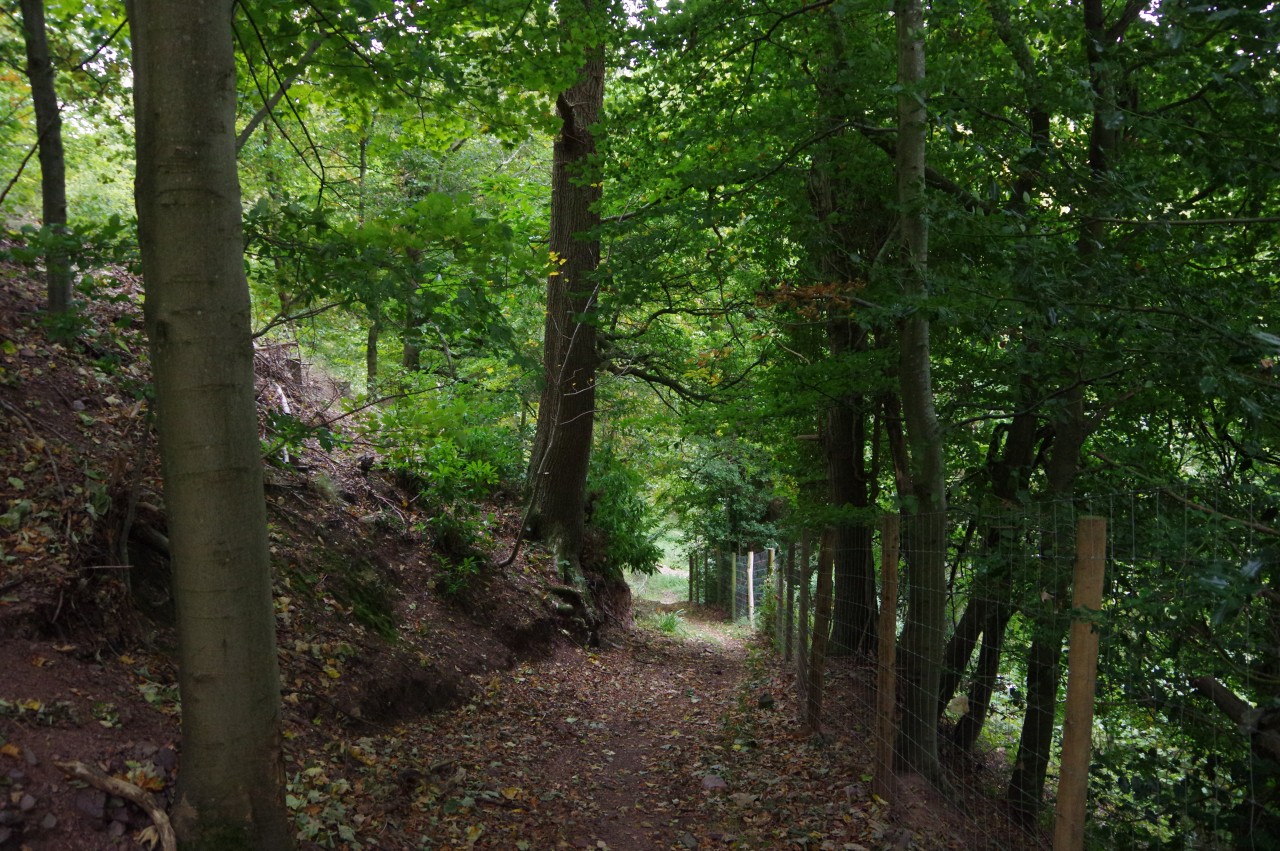
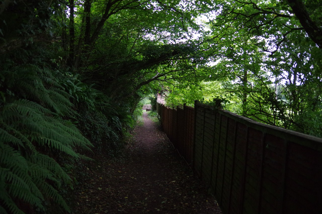
The road descends beyond the gate to the castle, passing the last houses of the village before reaching a junction with Jackson's Lane. Turning left soon leads to a track on the right, Watery Lane, signposted with the first of the Coleridge Way's feather quill waymarkers.
The green lane, arched over by foliage (picture 7), climbs very gently for about 750 metres, paralleling Stowey Brook. At a junction by the farmhouse of Broomsquires, the Coleridge Way turns right onto Lucky Ike's Lane, another sunken track. As I made the short but somewhat steeper climb up to a wooden gate on the edge of a large field, I wondered who Lucky Ike might have been, but no answer was forthcoming.
Through the gate, the Way turns left along the grassy margin of the field (picture 8), climbing to another gate on the edge of woods at Walfords' Gibbet, a first taste of the Quantock Hills, which were designated as England's first Area of Outstanding Natural Beauty in 1956.
(9) Walfords' Gibbet
(10) Duke's Plantation
(11) Path below Dowsborough Fort
(12) Knacker's Hole
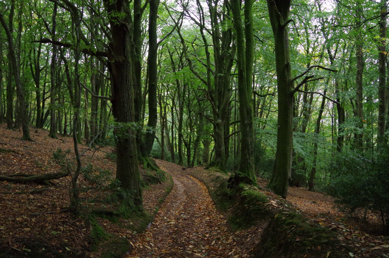
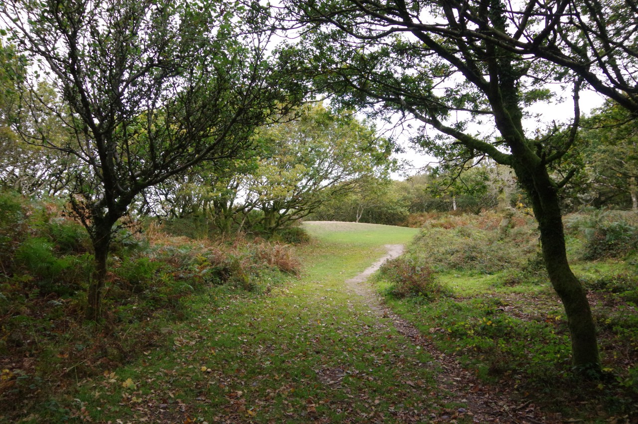
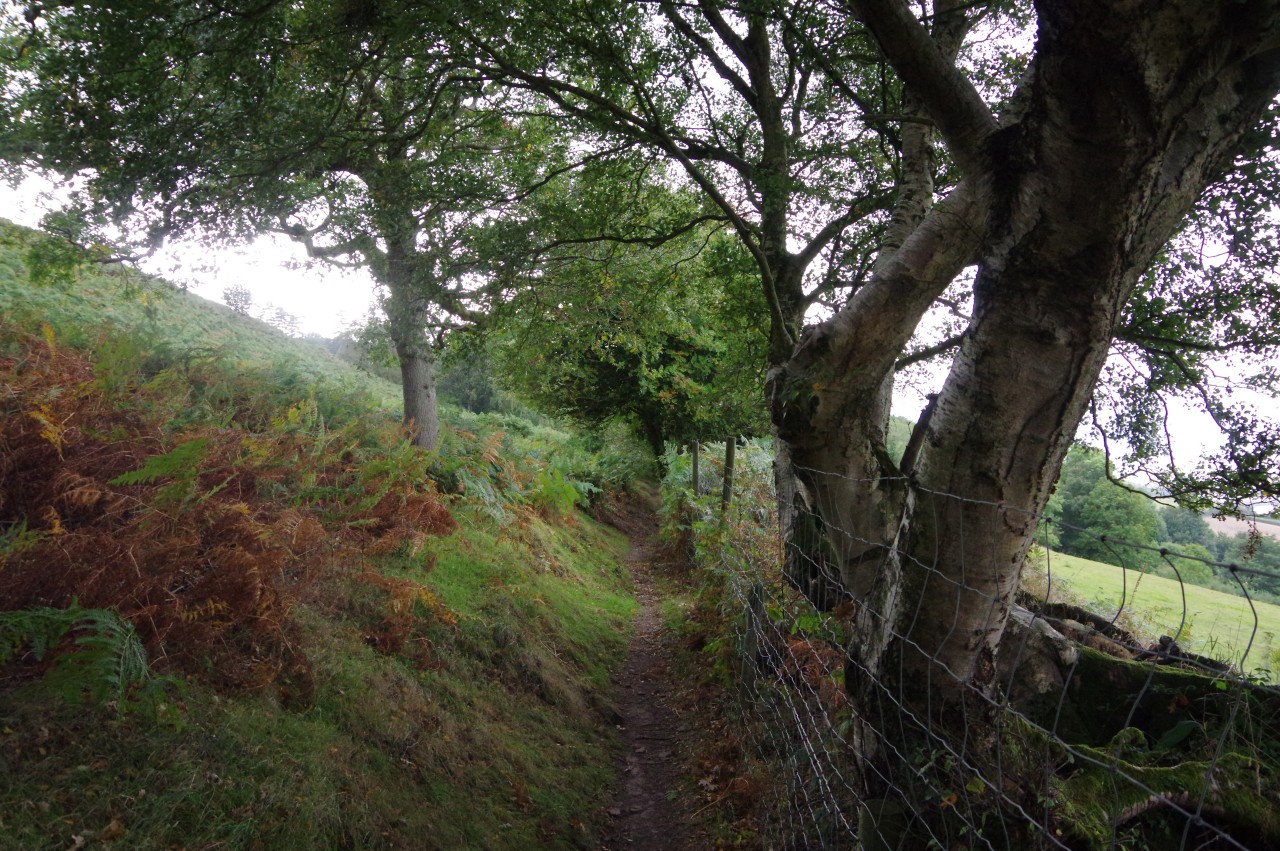
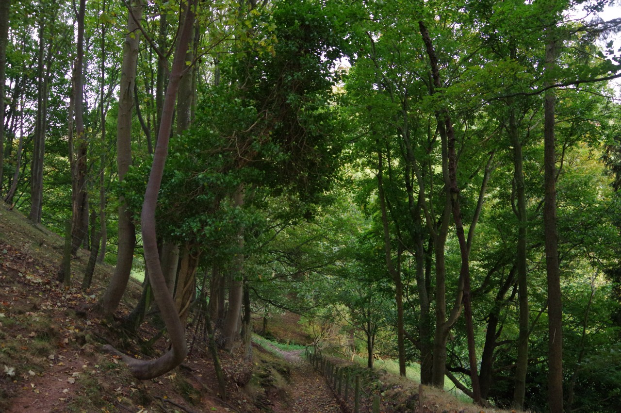
Just through the gate, the Way meets a bend in a quiet road in very attractive natural woodland (picture 9). Some 300 metres along the road, a sunken track on the right, at a spot marked on the Ordnance Survey map as Five Lords' Bench, heads off into Duke's Plantation (picture 10).
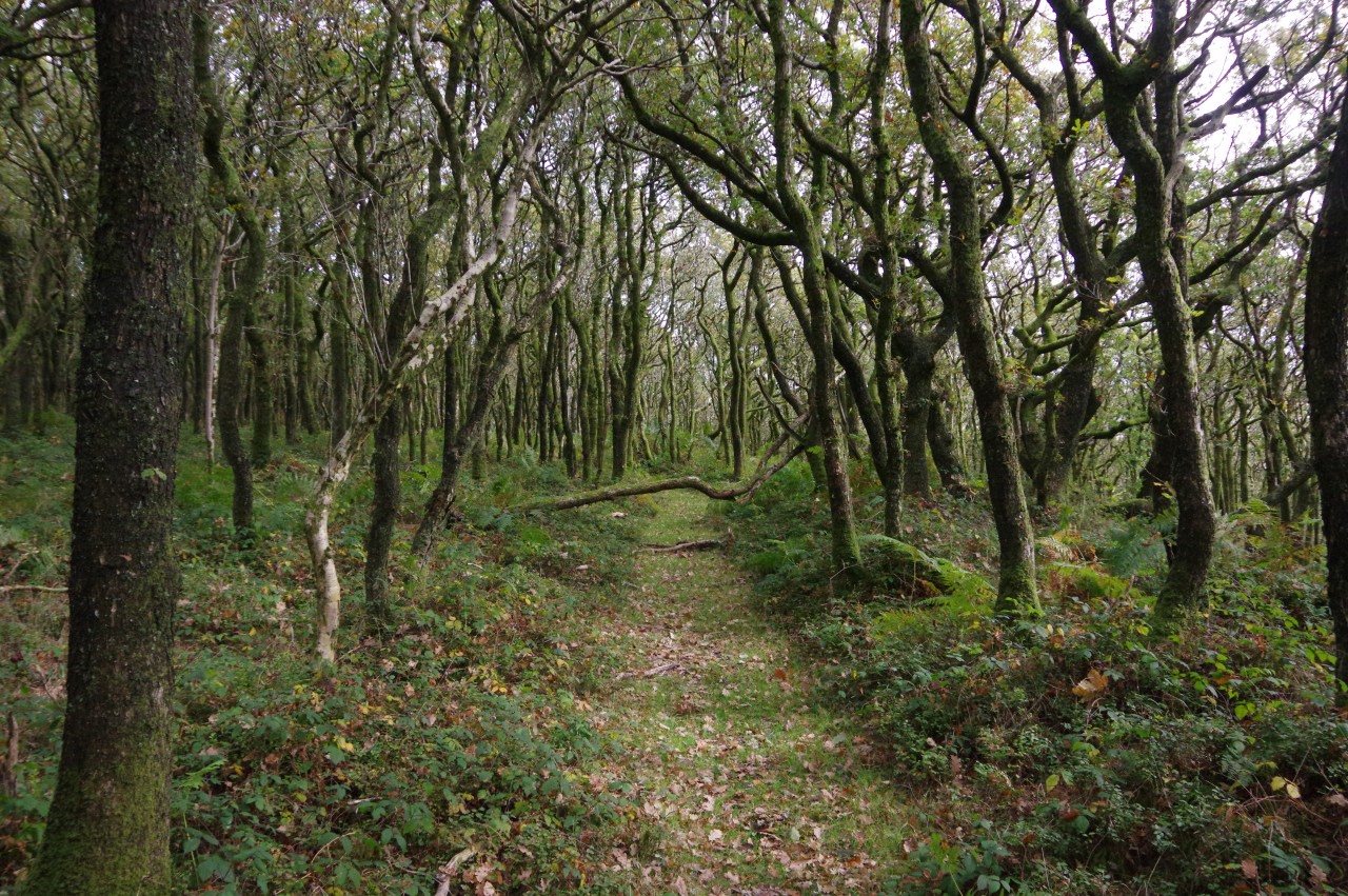
After snaking through the plantation, the track dips down through a more natural looking stretch of woodland to emerge on a heathery hillside (picture 11). Above the path and out of sight, the map shows the outline of the earthen rampart of the Dowsborough Hillfort, while below the path is the wooded combe of Knacker's Hole (picture 12).
(13) Dowsborough Fort
(14) Dowsborough Fort

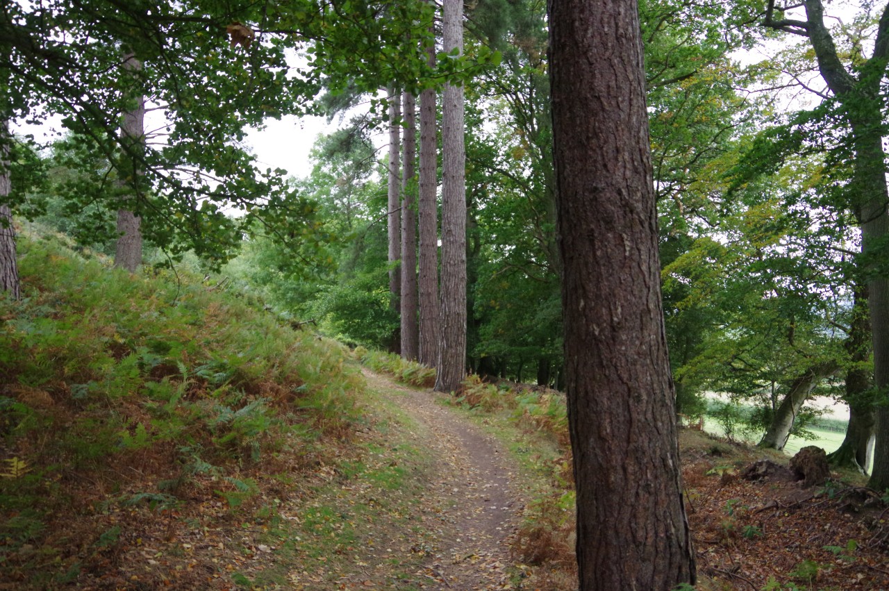
(15) Woodlands Hill
(16) View from Woodlands Hill
I'm always interested in visiting hillforts, so after following the path across the hillside to a junction where the Way turns right, I first turned left to follow a path up the hillside to the fort. The entire hilltop is now covered in trees (picture 13), but when the fort was constructed in the Iron-Age, the hilltop would have been bare, with 360 degree views of the approaches. A path allows one to walk a very pleasant circuit of the ramparts (picture 14) — evidently a favourite for local dog-owners — though the trees make it difficult to picture the scale of the fort as it would have been when occupied.
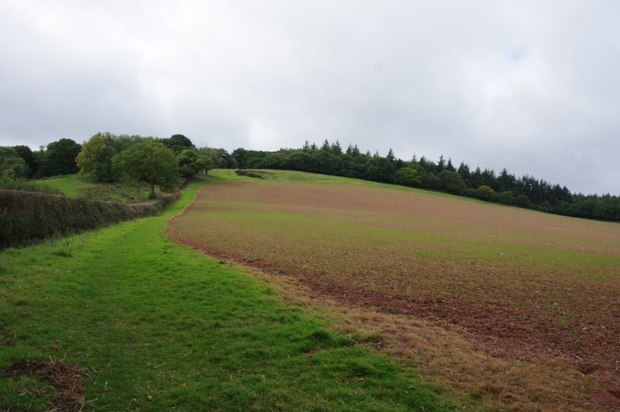
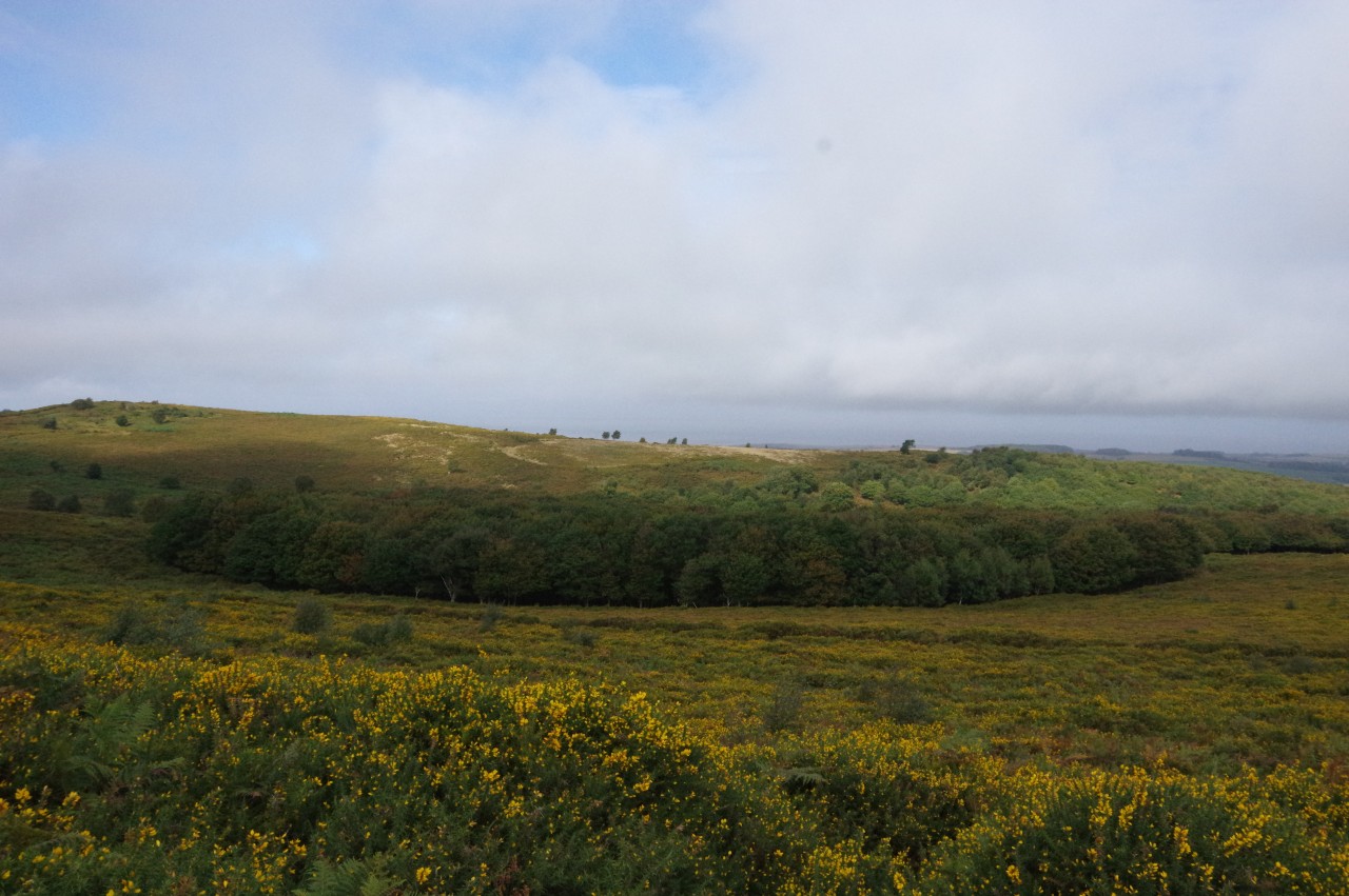
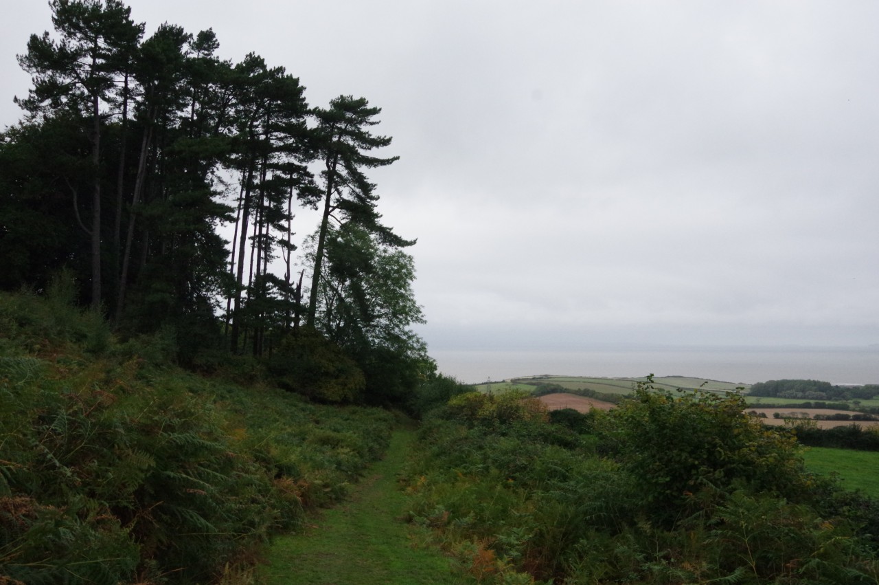
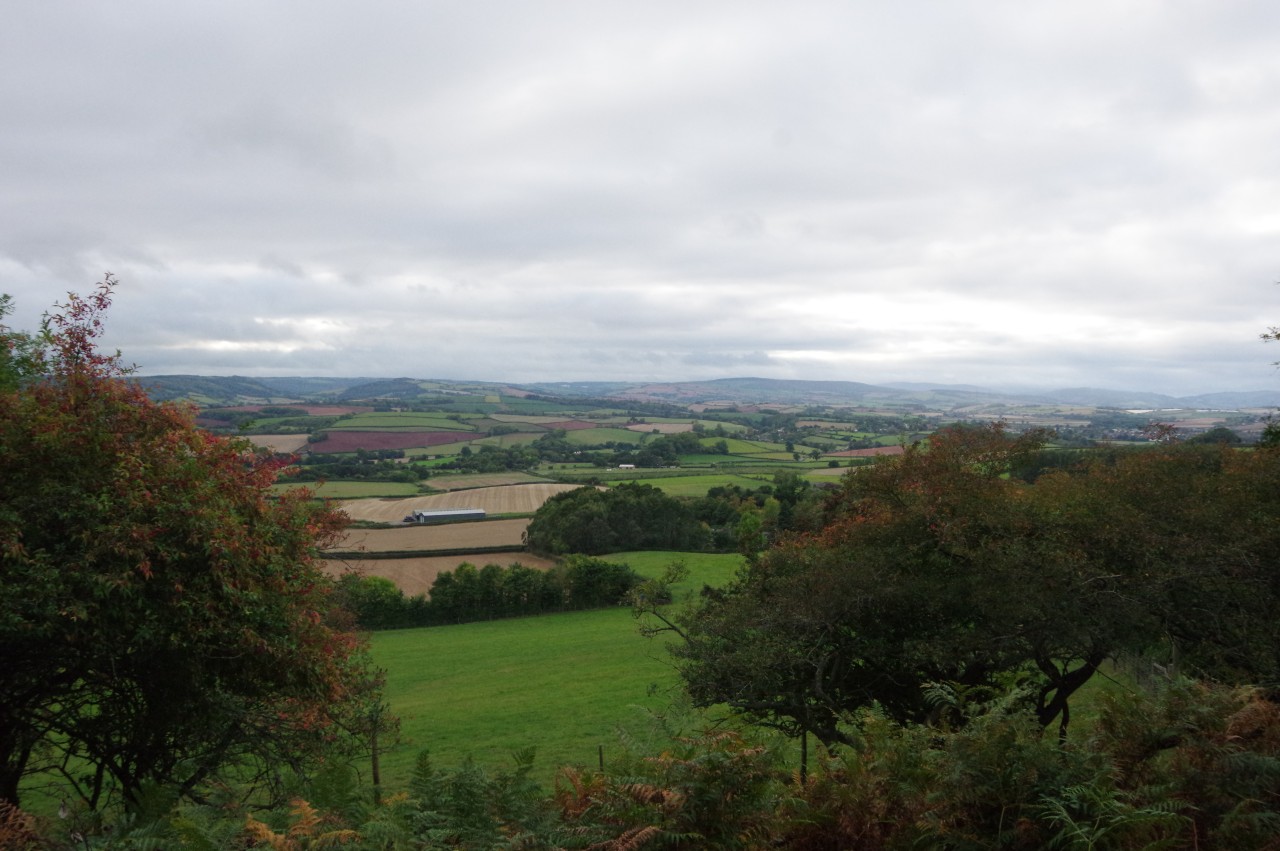
Returning to the Coleridge Way, I soon reached a fork, just below the summit of Woodlands Hill (picture 15). For some reason, the Way eschews the left path, which goes straight over the summit, instead skirting a little below and to the right of it before the two paths merge on the other side. Both paths have good views across patchwork fields to the Bristol Channel (picture 16) and, on a clearer day, the south coast of Wales.
(17) Woodlands Hill
(18) Holford
(19) Holford Bowling Green
(20) Ancient dog pound
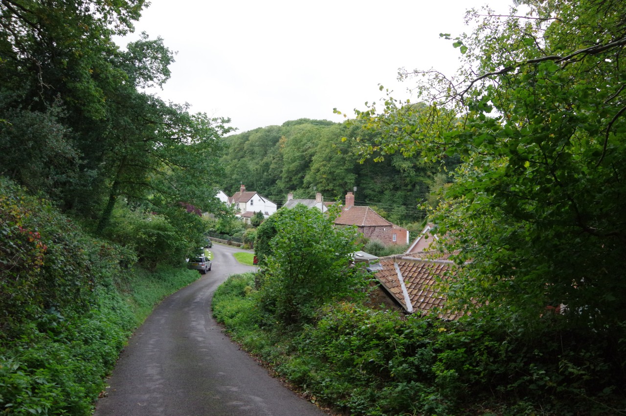
Just after the two paths become one, the Way heads into another wood (picture 17), still on Woodlands Hill, descending gradually and eventually sweeping right to join a lane. Heading left, the narrow ribbon of tarmac is followed over a small rise and then steeply downhill to reach the village of Holford (picture 18).
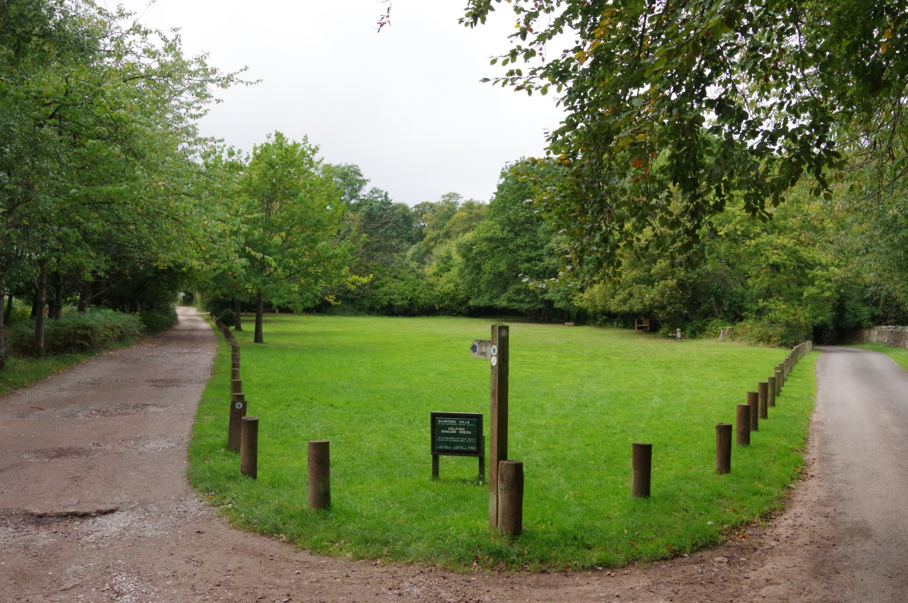
At the bottom of the hill, the Way bears to the right of a small triangular green to cross a junction, following a short lane signposted for the village carpark. Beside the carpark is Holford Bowling Green (picture 19), where French Huguenots who moved to Holford around Coleridge's time played boules. The Way follows the lane along the right side of the green, soon climbing gently into Alfoxton Wood and reaching a sharp right turn in front of a stout ancient stone building that was once Holford's dog pound (picture 20). The building bears a carved image of a wolf, which a small plaque says is the crest of the St Albyn family, who owned Alfoxton since the 1400s.
(21) Alfoxton Wood
(22) View towards Kilve
(23) Alfoxton Park

(24) Alfoxton Park Hotel
The lane goes through a gap in a stone wall and continues through the delightful Alfoxton Wood (picture 21), eventually swinging left to run along the far edge of the wood. Several benches beside the road provide good viewpoints over the fields between Alfoxton and the village of Kilve (picture 22) before the Way crosses a filled-in cattle grid to follow the potholed drive of Alfoxton Park (picture 23). On entering the park, the Coleridge Way joins the route of another long-distance path, the Quantock Greenway, a 61 kilometre circular walk around the Quantock Hills AONB. The two routes stay together until a few kilometres from the end of the day's walk.
Before long, the drive passes the Alfoxton Park Hotel (picture 24), now looking rather run-down. The hotel was the rented home of William and Dorothy Wordsworth for about a year, so Coleridge and the Wordsworths would have been very familiar with the stretch of the Way I had walked so far.
(25) Pardlestone Hill
(26) Dens Combe
(27) Broom Ball
(28) View over Townsend Farm and East Quantoxhead
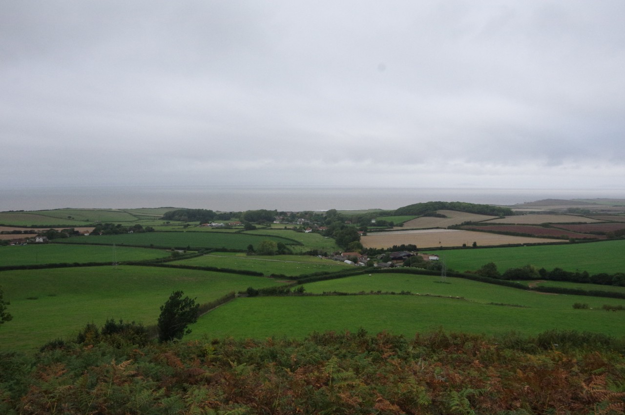
Beyond the hotel the lane bends left, then sharp right, then left again before straightening to head across the shoulder of Pardlestone Hill (picture 25). At a junction of tracks beyond the whitewashed Alfoxton Cottage, the Way bears right to stay on the tarmac until it ends at a wooden gate above Beechcroft Farm. Through the gate, a shady path descends into Dens Combe (picture 26), crossing a tiny stream before climbing up to the open hillside of Broom Ball (picture 27). The well-worn path then follows the contours of the hillside to reach Higher Ground, a good vantage point over nearby Townsend Farm, the more distant village of East Quantoxhead and the Bristol Channel (picture 28).
(29) Smith's Combe
(30) Smith's Knap
(31) West Hill

(32) View toward Quantock's Head
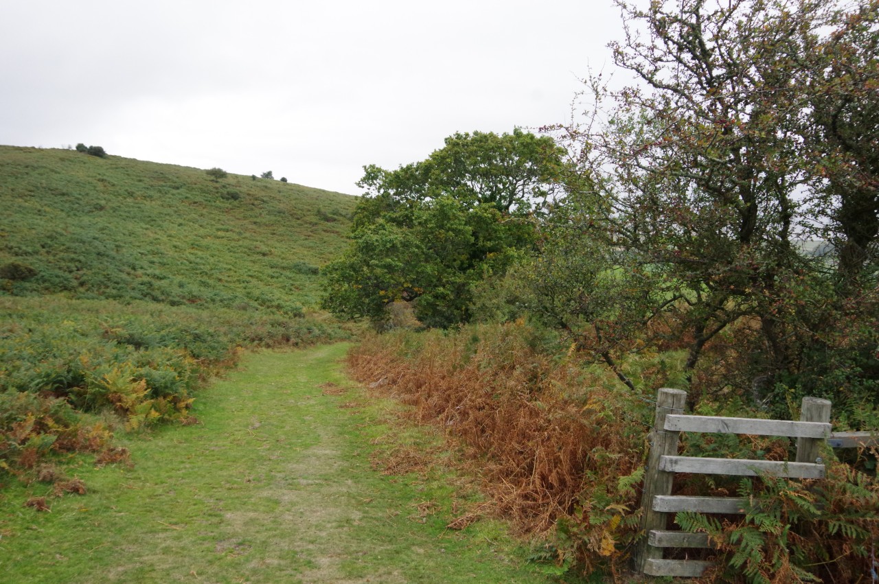
A steep descent to cross a stream running down Smith's Combe (picture 29) is followed by a climb up to a stand of tall conifers on Smith's Knap (picture 30). After following a wire fence for a couple of minutes I reached a signpost where the Coleridge Way turns left and joins the route of the West Somerset Coast Path. I had walked the WSCP a couple of years previously, though in the opposite direction, so I was now going to be on familiar ground for the next few kilometres.
The two long-distance routes, and the Quantock Greenway, all continue to follow the wire fence across the flank of West Hill, which rises steeply on the left (picture 31), while the view to the right takes in the peak of Quantock's Head (picture 32), where the Quantock Hills meet the sea.
(33) Deer Park
(34) The Old Rectory
(35) Church of St Etheldreda, St Audries Estate
(36) The Windmill Inn
On the far side of West Hill, the path dips down to cross the tranquil Perry Combe, bearing right at the bottom rather than taking the most obvious track straight up the other side. The less obvious path on the right climbs into Deer Park, skirting the edge of the wood above a long, sweeping curve of the busy A39 (picture 33).
Eventually the woodland path bears away from the road and emerges from Deer Park beside the high stone wall of the Old Rectory. The driveway is followed out to the main road, where there is a much better view of the Old Rectory, now a large B&B (picture 34).
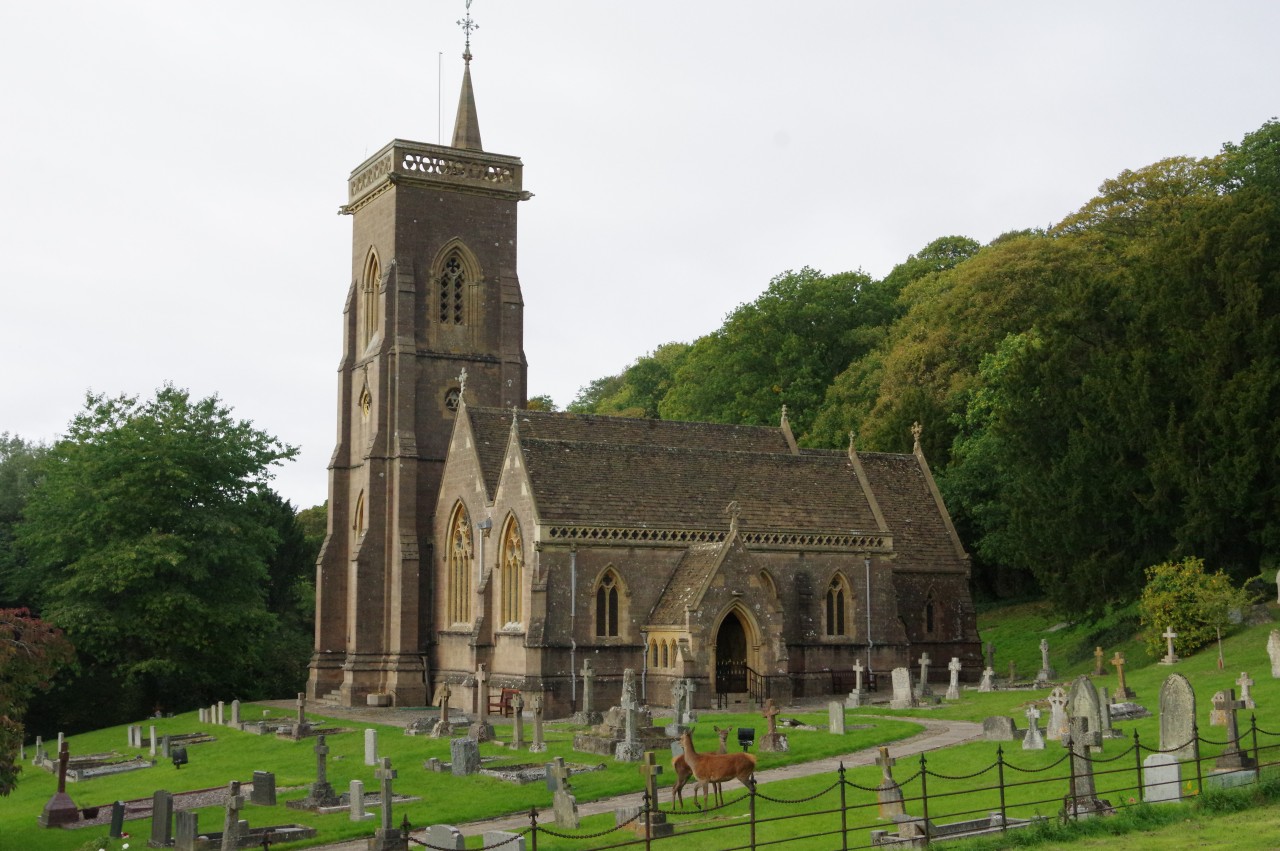
The Way turns left to follow an enclosed path that is screened from the road by a hedge, but first I headed across the road into the St Audries Estate for a closer look at the impressive Church of St Etheldreda, which occupies a picturesque woodland setting below the A39. The Anglo-Saxon St Etheldreda (636-679), was also known as St Audrey, hence the name of the estate.
As I approached the church, I was lucky enough to spot a pair of deer wandering around the churchyard (picture 35), so I paused for a few minutes to observe them from a distance before they wandered off into the woods.
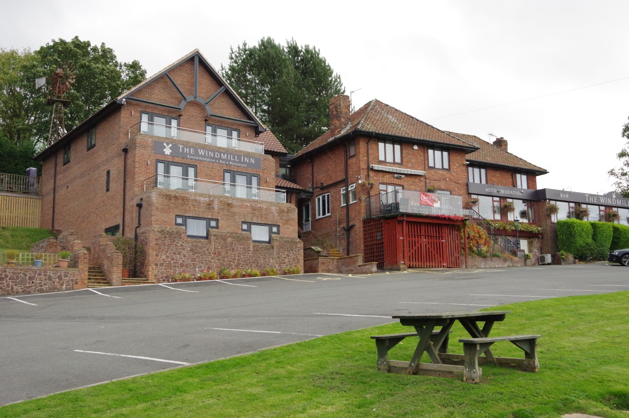
Back on the Coleridge Way, the stretch beside the noisy main road was mercifully short, the enclosed path leading to the Windmill Inn (picture 36) on the edge of the village of West Quantoxhead. Any windmill after which the pub might have been named is now sadly long gone.
(37) West Quantoxhead
(38) Weacombe

(39) Round Plantation
(40) View west from Weacombe Hill
The Coleridge Way crosses the front lawn of the pub to turn left off the A39 and follow The Avenue up to a crossroads in the centre of the village (picture 37). Weacombe Road is taken ahead from the crossroads to the far edge of the village. When the road bends right, the Way turns sharp left up a driveway, parting company with the West Somerset Coast Path.
The driveway climbs past Pitt Cottage, turning right through two gates to join a path along the steep and wooded western edge of the Quantock Hills, descending steadily into Weacombe (picture 38). In the floor of the combe, the path turns right and heads through a gate into Weacombe Farm. By a cottage, the path turns left to ford a small stream and climb through a deer gate to join the next stretch of path along the lower edge of Round Plantation (picture 39). Beyond another gate, a more open stretch of hillside on Weacombe Hill offers views westward to Exmoor (picture 40).
(41) Haslett Plantation
(42) Bicknoller Combe
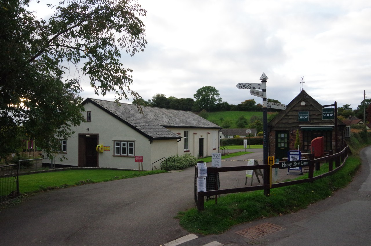
(43) Bicknoller Village Hall and Community Shop
(44) Crossing the West Somerset Railway
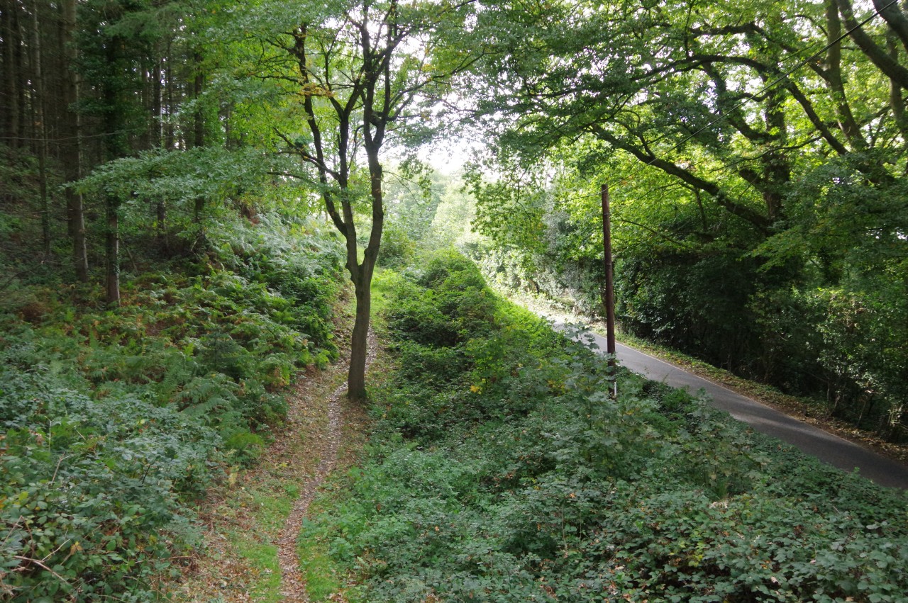
It isn't long though before the path heads through the tall timber of the small Haslett Plantation (picture 41) then descends through the more natural woodland of Bicknoller Combe (picture 42). Immediately after crossing the stream that flows down the combe, the Way turns right, joining the Macmillan Way West and heading down the valley. The Way goes ahead through a wooden gate onto the top of Hill Lane, finally leaving the Quantock Greenway, which heads off to the left instead of going through the gate.
Leaving the Quantock Hills behind, the Coleridge Way descends the narrow lane into the sleepy village of Bicknoller, going through a crossroads by the village hall and community shop (picture 43) and continuing down the winding Dashwoods Lane to a junction with the A358.
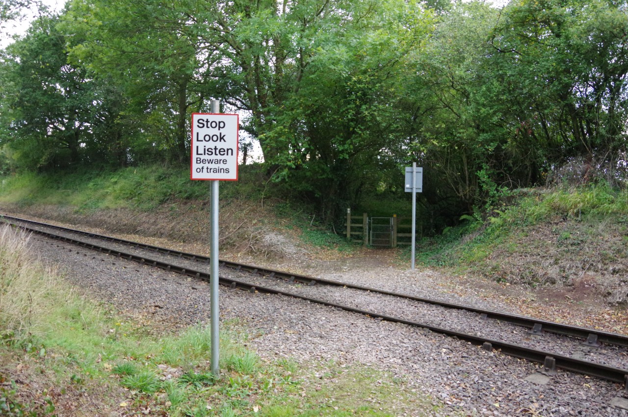
Having carefully crossed the main road, I continued a few paces up a tarmac driveway to a metal gate giving access to an enclosed path that skirts around two sides of a farm to reach a crossing of the tracks of the West Somerset Railway (picture 44).
(45) Vellow Stogumber
(46) View back to Weacombe and Bicknoller Hills
(47) Providence
(48) Church of St George, Sampford Brett
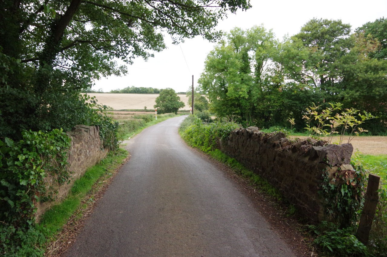
Across the tracks, on Trenance Farm, the Way runs along the left edge of a field then follows a wire fence around the corner of an enclosure and through a gate to join the farm drive. This leads out past a thatched farmhouse to a lane called Vellow Stogumber. Turning left along the lane to cross a stone bridge (picture 45), the Way soon reaches a junction where the route turns right. Almost immediately the lane bends left, but the Way goes straight ahead on a farm track between two barns.
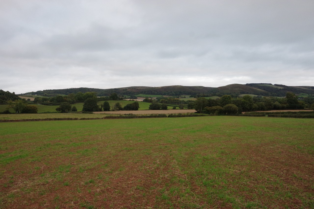
Reaching the first of a line of high-voltage pylons, the Way turns right off the track and crosses a large, irregularly-shaped field to a wooden gate partially hidden in a hedge under trees in the far corner. From the middle of the field there is a good view back up to Weacombe and Bicknoller Hills (picture 46).
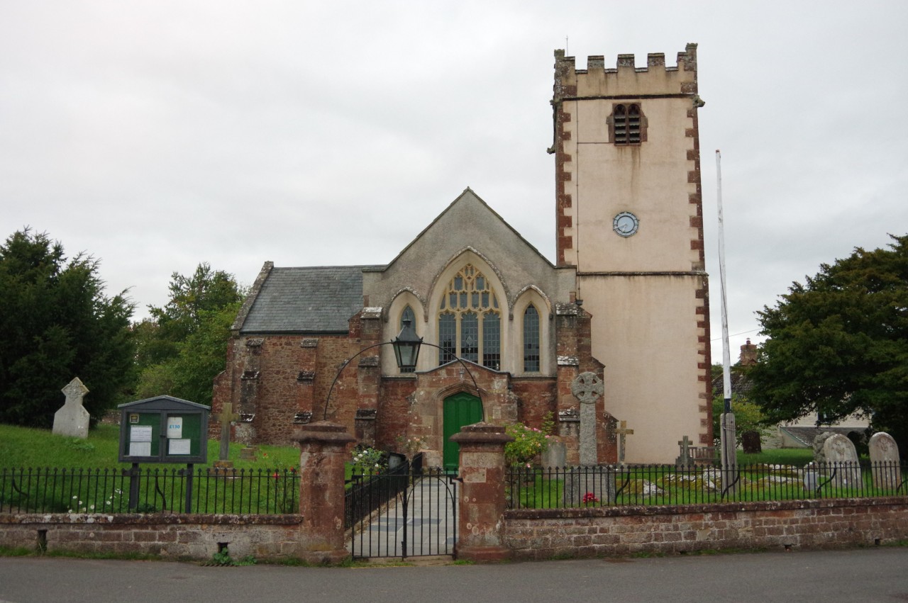
The gate opens onto an enclosed path beside a wooden fence in an area called Providence (picture 47). Before too long, the path merges into a winding driveway leading to the edge of the village of Sampford Brett. Through one final gate, the quiet lane of Croft Meadow heads past the small village hall and up to a junction in front of the Church of St George (picture 48).
This was as far as I was going on the Coleridge Way, having walked 19.4 kilometres of the route from Nether Stowey (not counting the various diversions I had made from the path). Due to my late start after visiting Coleridge Cottage, it was already a few minutes after sunset when I arrived in Sampford Brett.
This wasn't quite the end of my day's walking, however, as I still had to get myself to the nearby town of Williton, where I was staying for the next two nights before resuming my walk along the Coleridge Way. Fortunately, the Macmillan Way West, which departs from the Coleridge Way in front of St George's, provides an easy off-road walk of around two kilometres into the centre of Williton.
On the way to Williton, I was a little surprised to pass a pen containing several Australian emus. These are large, flightless birds that can stand as tall as an adult human, though these specimens were each around four feet tall. This is the only time I have seen emus outside of Australia.