SOUTH WEST COAST PATH NATIONAL TRAIL
Stage 13: Teignmouth to Torquay
Saturday, May 18, 2013
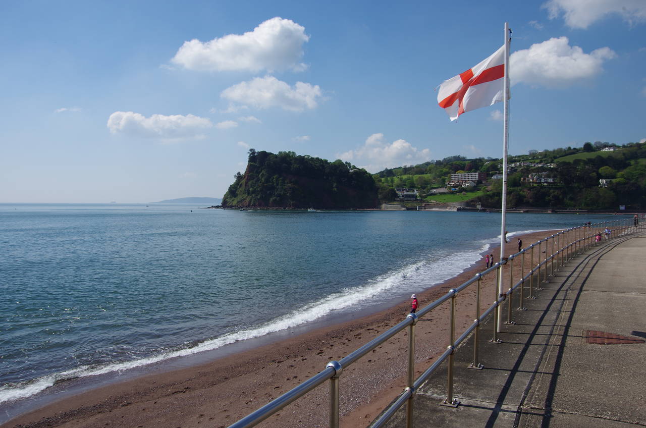
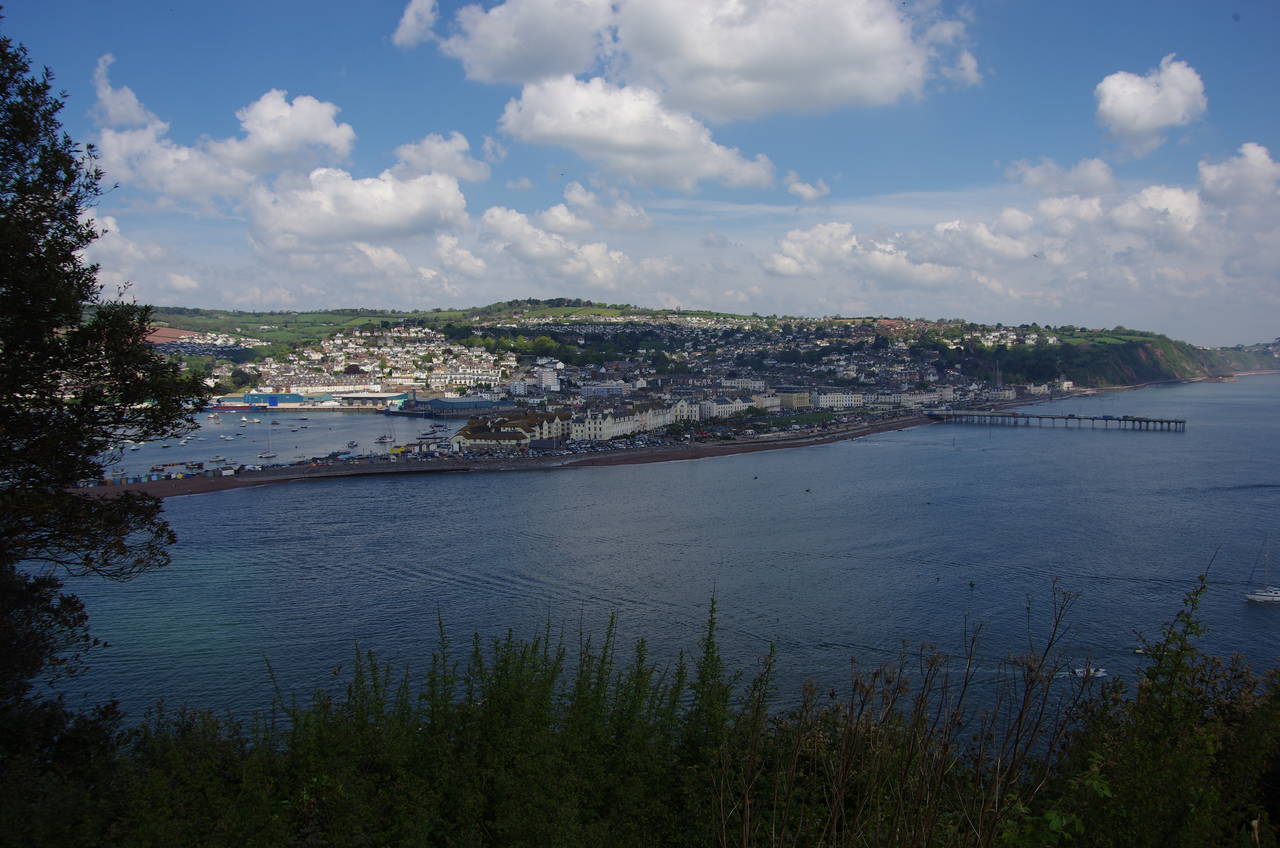
(1) View towards Shaldon
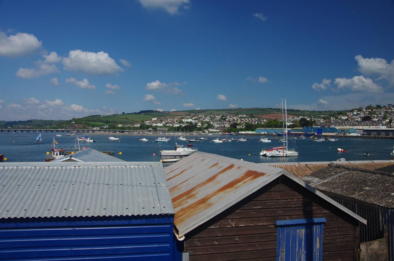
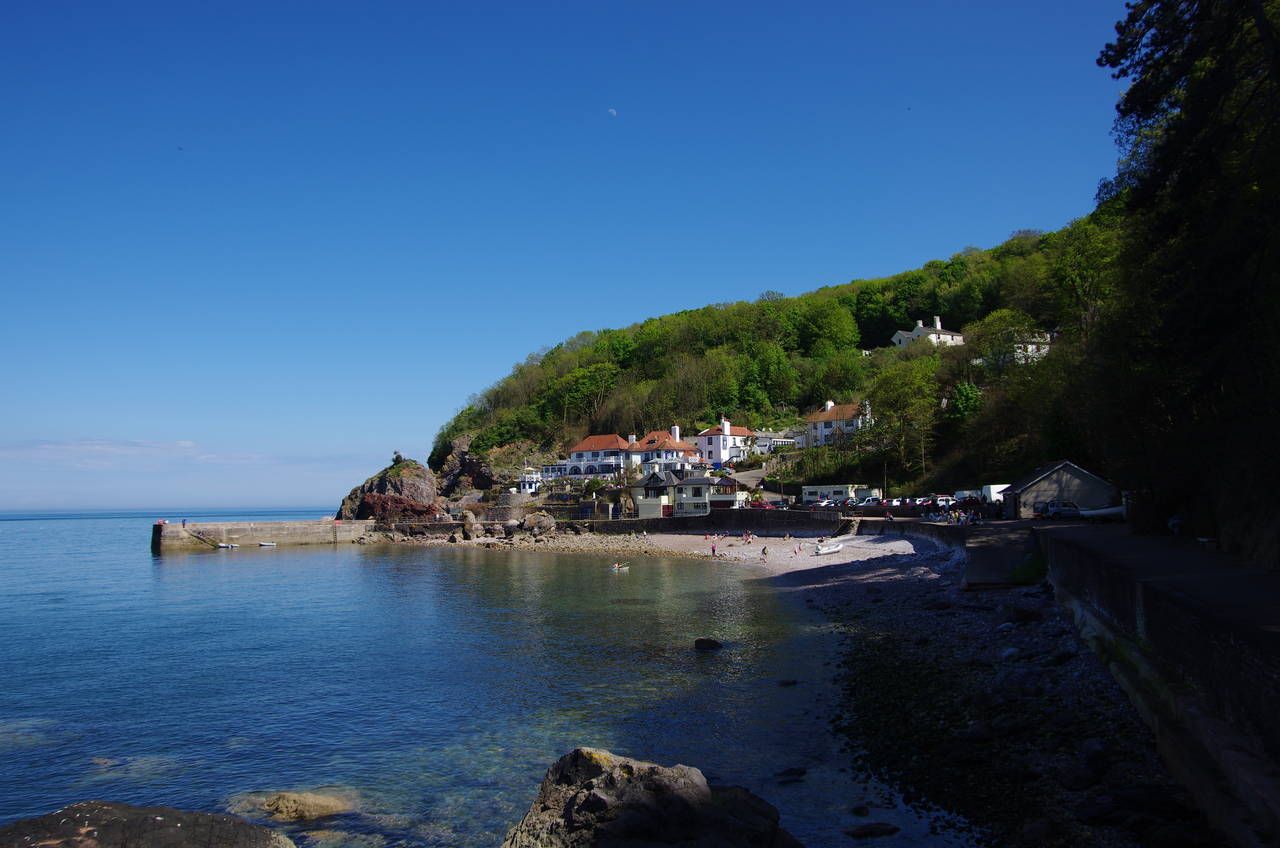
(2) Teignmouth Harbour
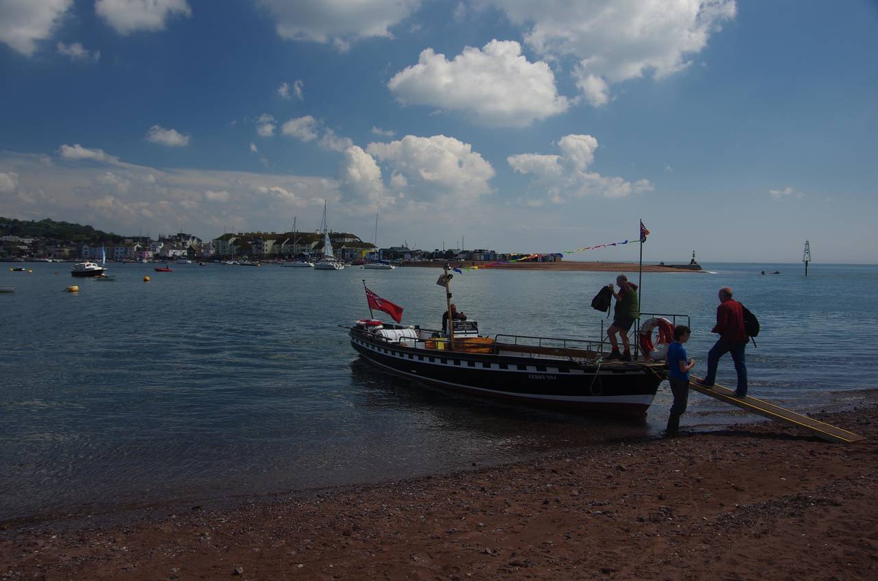
(3) Shaldon Ferry
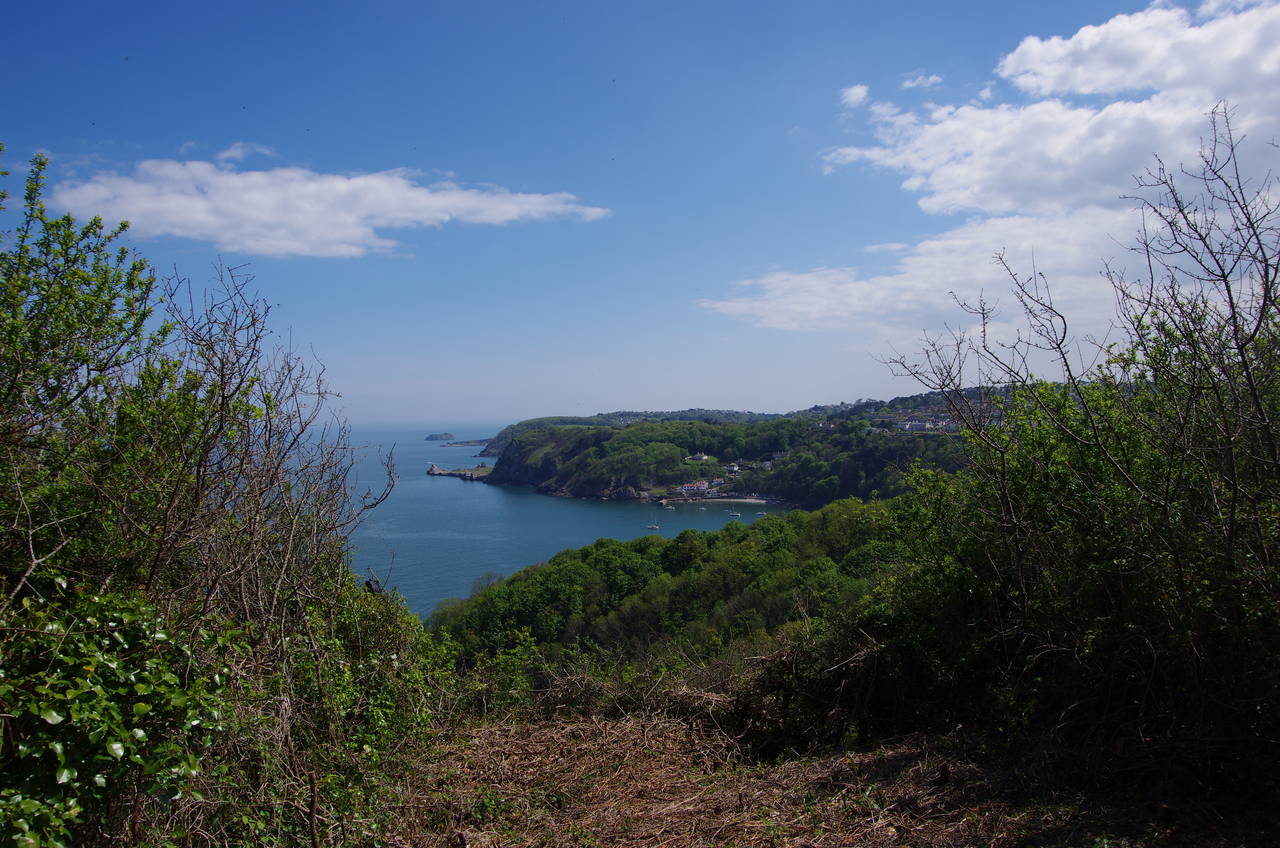
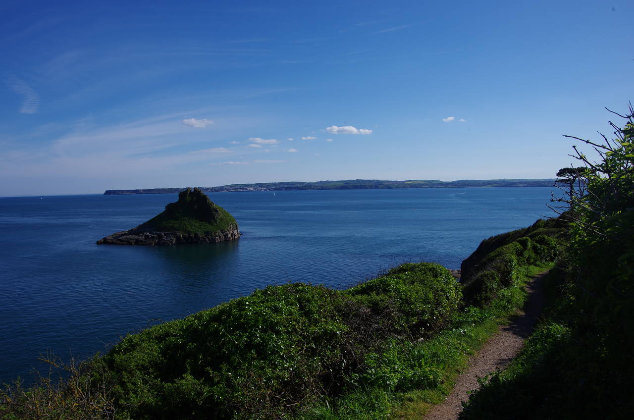
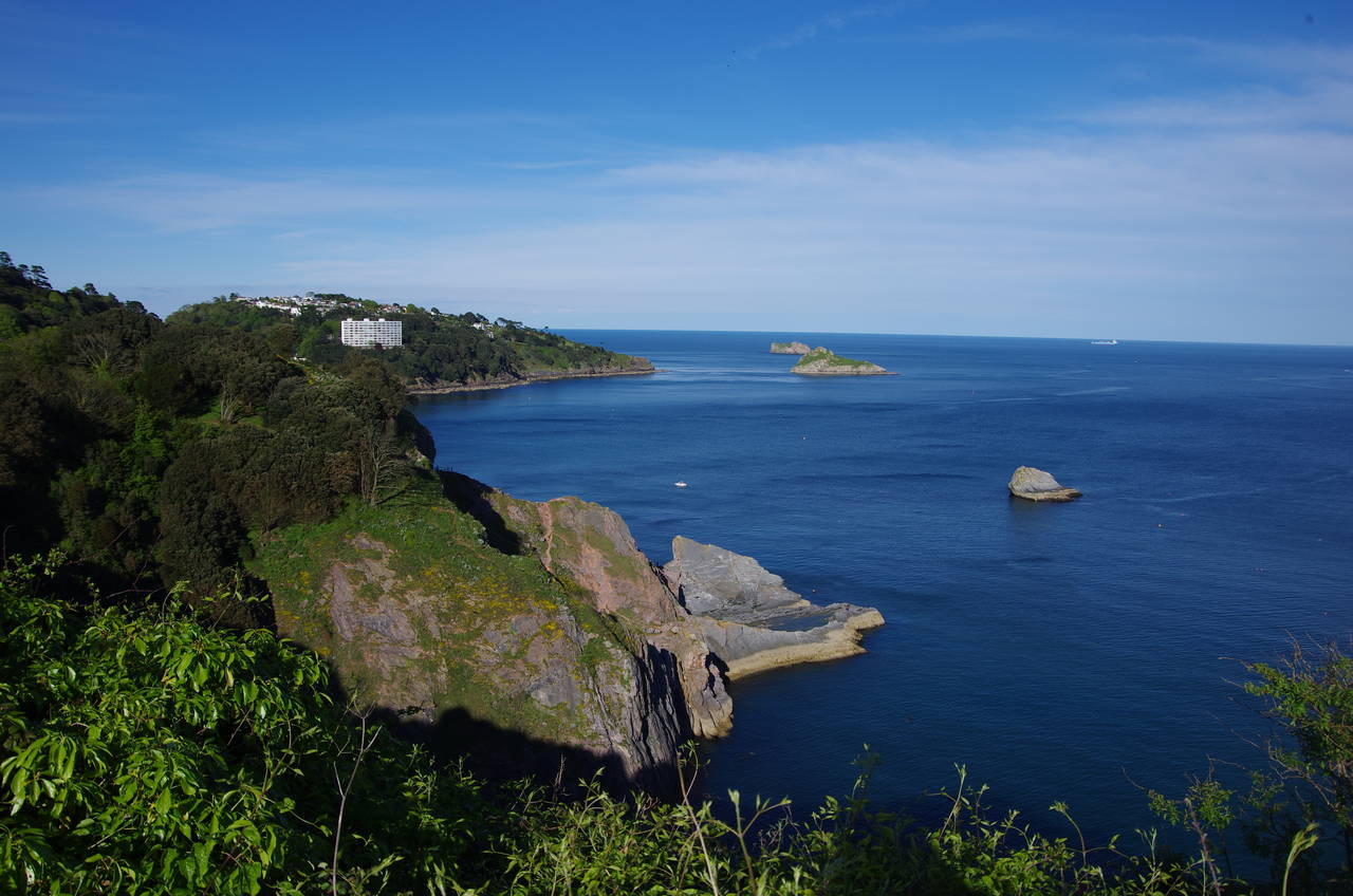
(4) The Ness
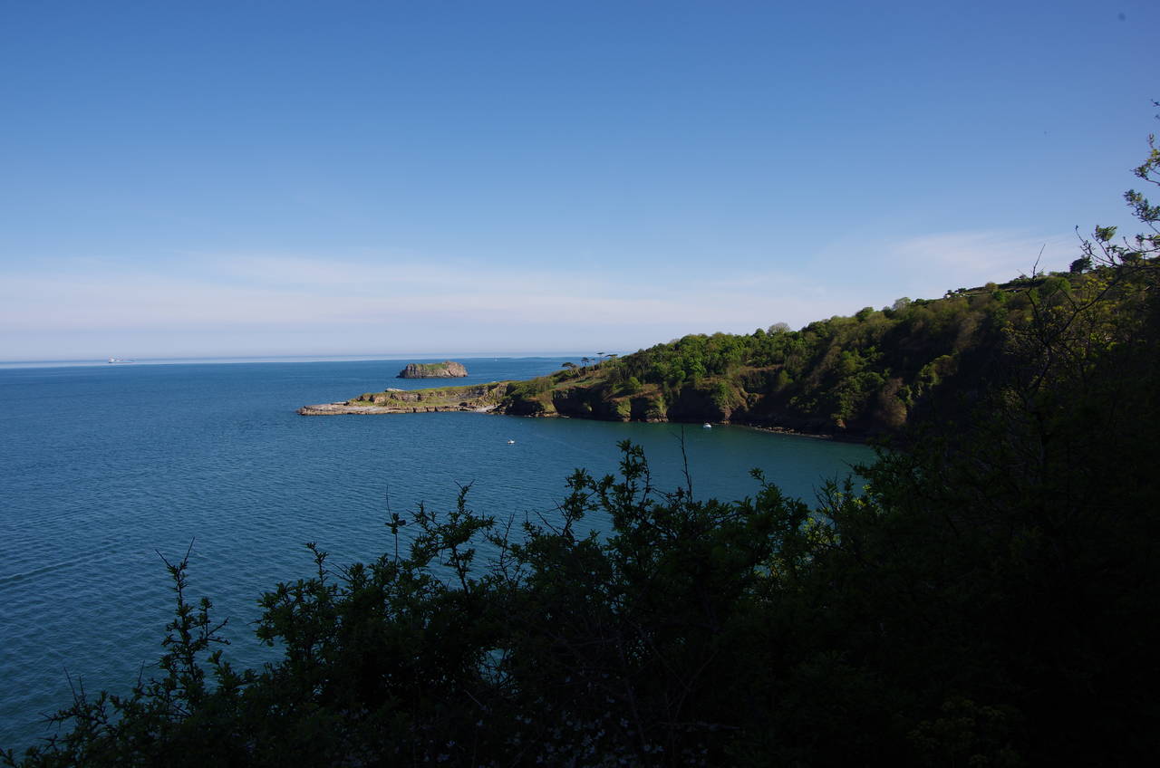
For a third day in a row I awoke to perfect sunny weather. A leisurely wander through Teignmouth (pronounced "Tinmuth" by the locals) from the railway station bought me back to the seafront by the little lighthouse, which guides boats into the busy little harbour inside the mouth of the River Teign. From this spot there is a good view across the river towards the village of Shaldon, sheltering on the hillside behind the heavily wooded headland of The Ness (picture 1).
A short walk across the peninsula, past the RNLI lifeboat station, leads to the harbour (picture 2), where I caught the little ferry that runs across the river to the sandy beach at Shaldon (picture 3). The route of the Coast Path heads eastwards along the beach, where many families were enjoying the sunny Saturday morning and dozens of little boats were pulled up above the high water line. At the end of the sand, the path joins Marine Parade, which runs along the water's edge atop new flood defences built in 2011 to protect Shaldon from flooding.
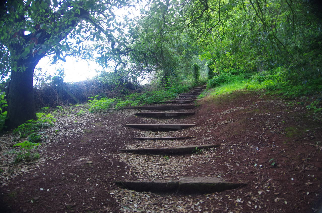
The road passes several relics of Shaldon's World War II defences, including a searchlight station and several gun emplacements. When the road bends right, the path continues ahead in front of The Ness pub and soon starts to climb up many steps to the headland of the same name (picture 4).
(5) Teignmouth
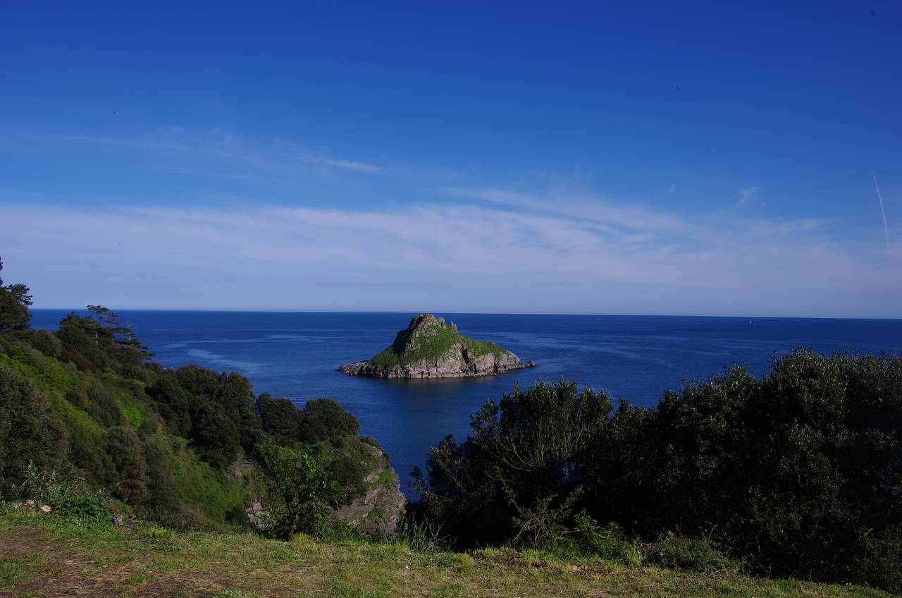
(6) The Ness
(7) Ness Cove
(8) Labrador Bay
At several spots on the climb up to The Ness there are viewpoints offering superb views back over Teignmouth (picture 5) before the shady path levels off and rounds the point (picture 6).
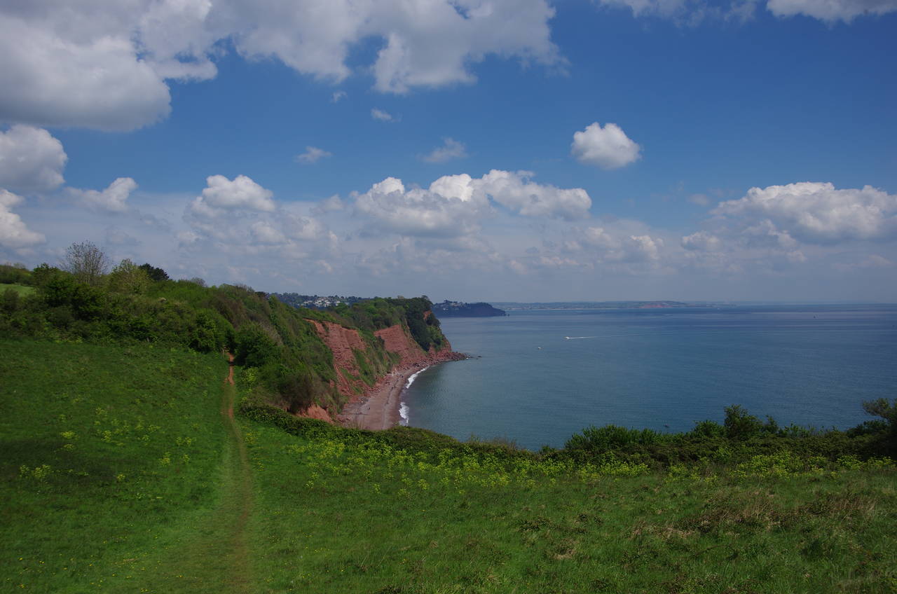
The path emerges from the woods briefly to pass the end of a carpark before running along the middle of a strip of trees between the clifftops and the Shaldon Approach Golf Course, which is hidden from view for most of the way. At the end of the golf course, the path climbs along the edge of a meadow to Bundle Head, where there are views back to the little beach at Ness Cove (picture 7), which is accessed via a tunnel through the cliff, and ahead across Labrador Bay (picture 8).
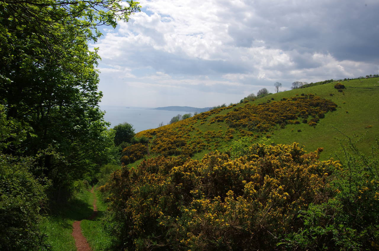
(9) Labrador Bay Nature Reserve
(10) Herring Cove
(11) Path above Mackerel Cove
(12) Valley of Rocks
The path has to go around the landward side of the clifftop houses, joining the busy A379 Teignmouth Road for about 100 metres until a signed footpath drops away to the left of the road into the Labrador Bay Nature Reserve (picture 9), where a couple of meadows were being grazed by Dartmoor Ponies.
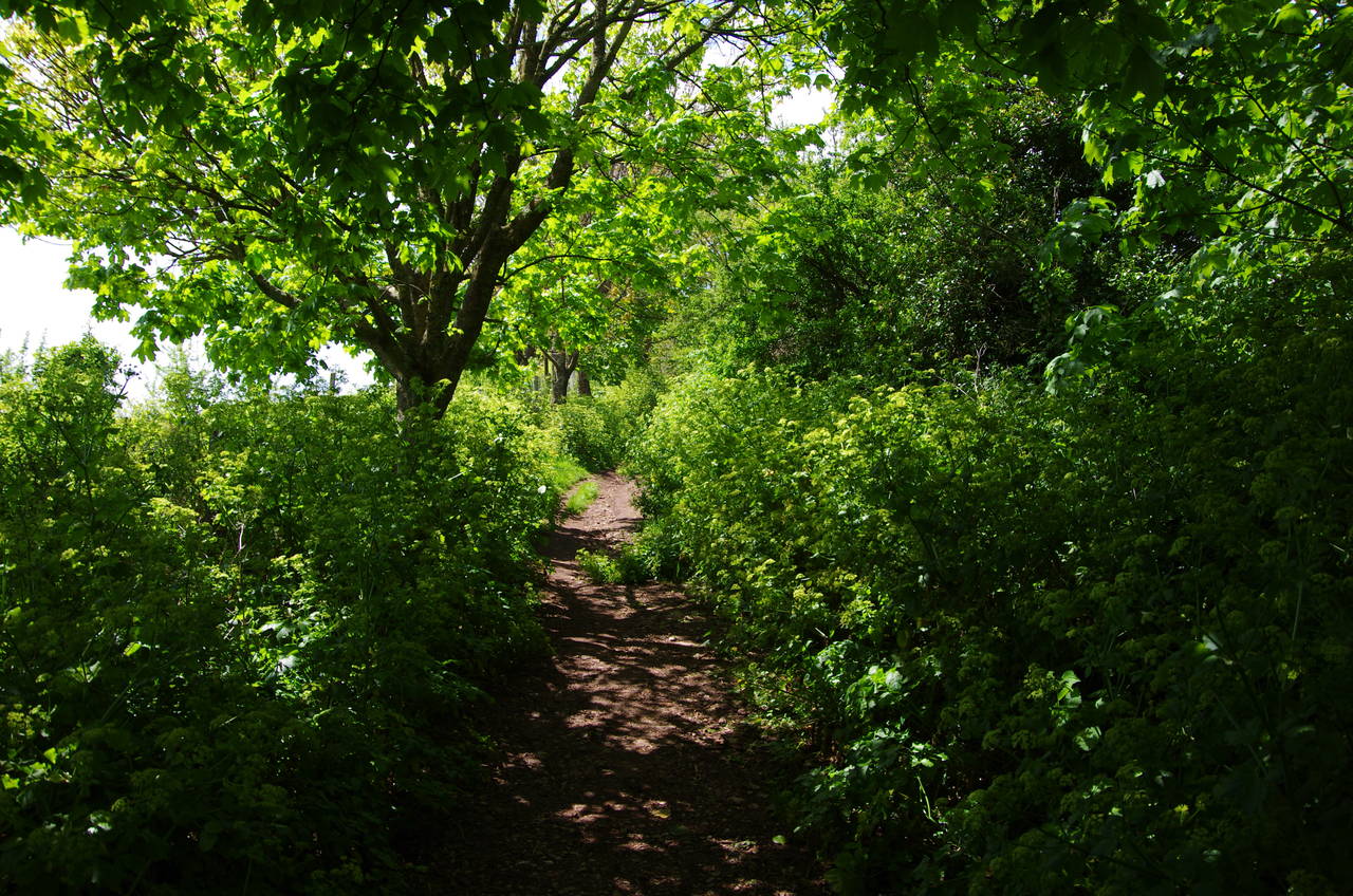
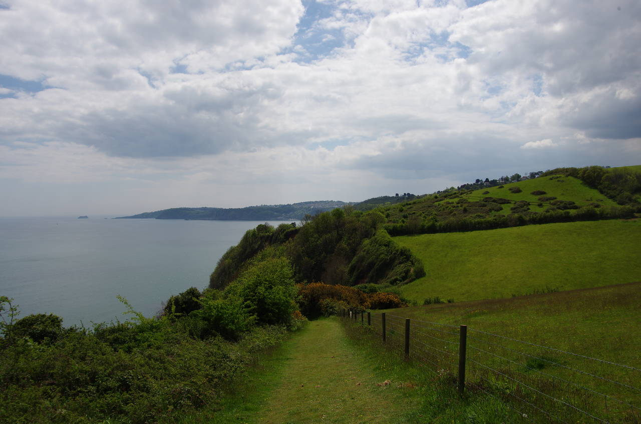
For the next three kilometres the Coast Path takes an undulating route through woods and along field edges, never very far from the cliff edge, passing above Herring Cove (picture 10) and Mackerel Cove (picture 11) before passing through the hamlet of Maidencombe a little inland from the tiny Maidencombe Beach, which is out of sight of the path until it returns to the clifftop about 100 metres further along the cliffs.
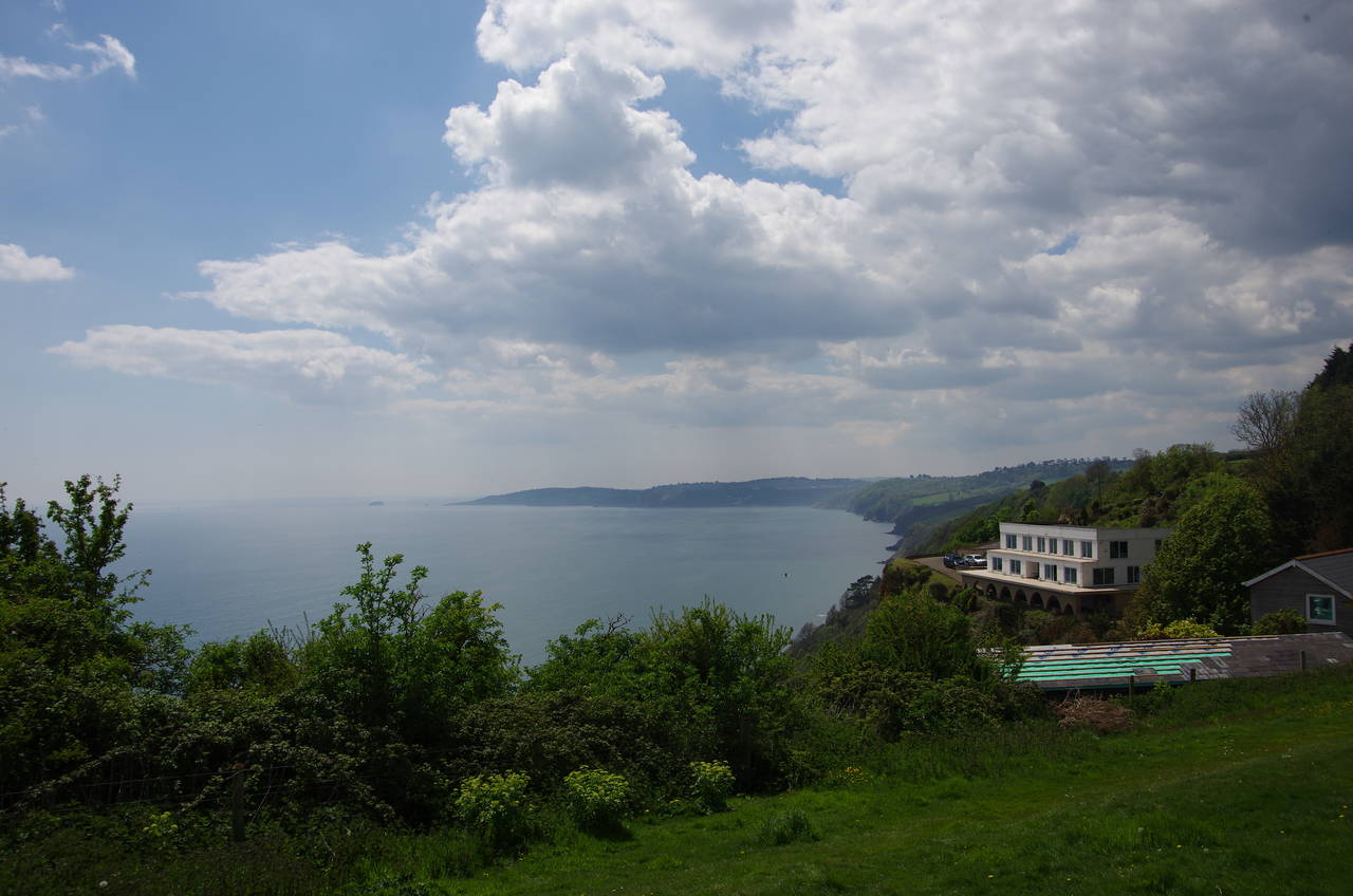
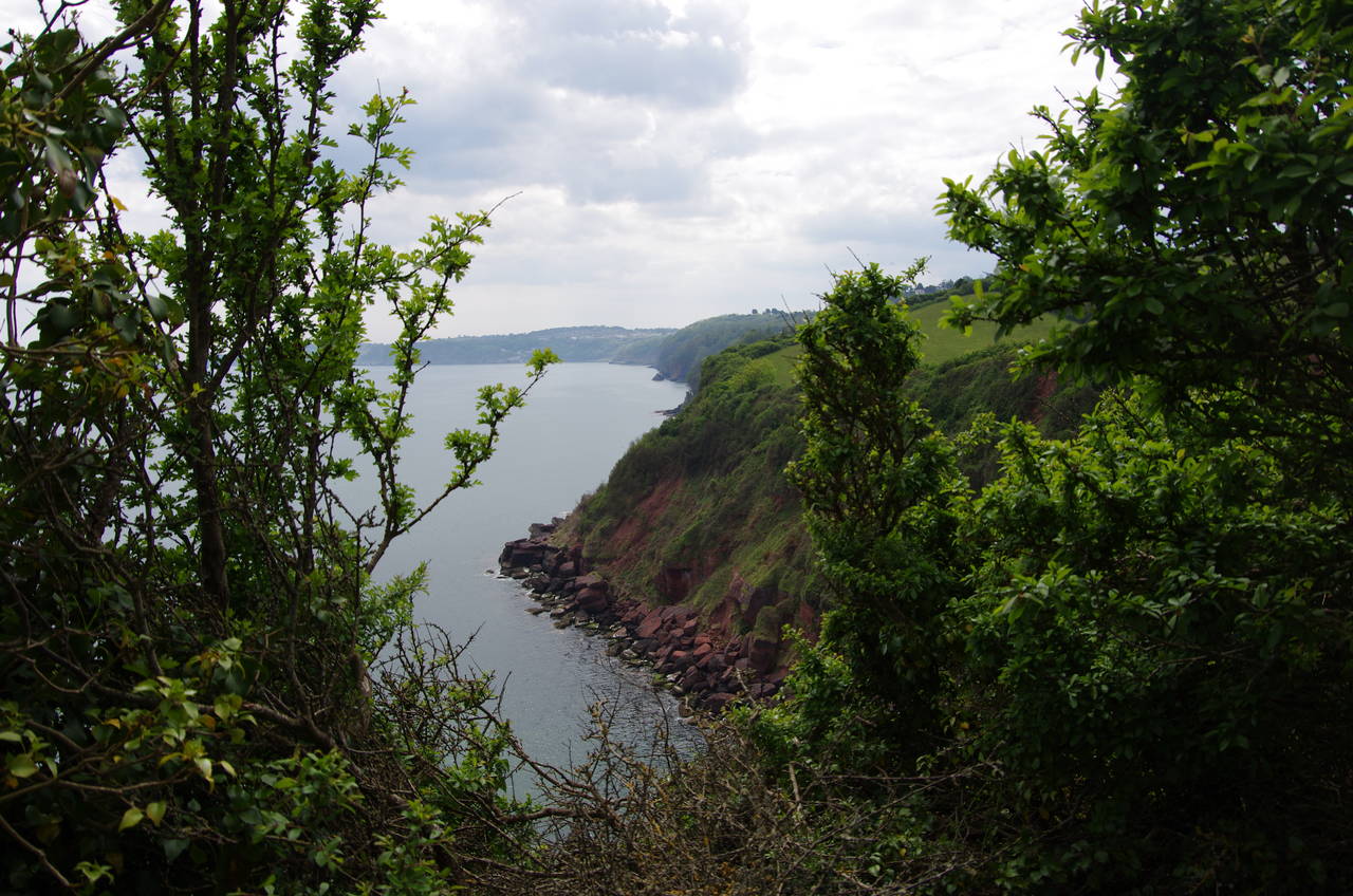
The Coast Path continues along the cliffs for another 800 metres, mostly fenced in between field edges and clifftops, until heading inland through the wooded Valley of Rocks (picture 12), circling well above the twin coves of Whitsand Beach and Watcombe Beach.
(13) View towards Babbacombe Beach
(14) Petit Tor
(15) Oddicombe Cliff Railway
(16) Oddicombe Beach
Crossing the path leading down to Watcombe Beach, the Coast Path climbs up through the woods to Shag Cliff, where there are views ahead to the sheltered Babbacombe Beach (picture 13).
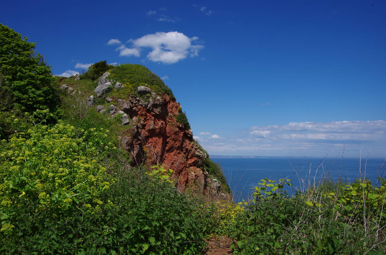
The Coast Path winds its way through the woods, close enough to the Torquay Golf Club to hear the players but screened by the trees. Beyond the golf course, the path passes just inland of the marble outcrop of Petit Tor (picture 14), turning right shortly afterwards to find the end of Petitor Road on the edge of the town of St Marychurch.
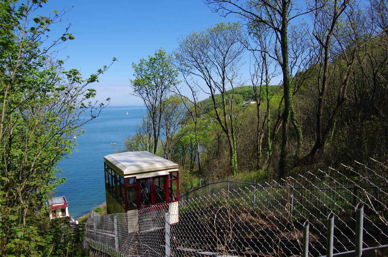
The quiet residential street is followed inland for about 300 metres to a roundabout where the route turns left along the A379. After passing three houses the route turns left again into a park and proceeds down a grassy combe most of the way down to Oddicombe Beach. Just above the beach, the path turns parallel to the coast and heads through woods to come up beside the Oddicombe Cliff Railway, built in 1926 to save beachgoers the lengthy climb up a zigzag road from the beach.
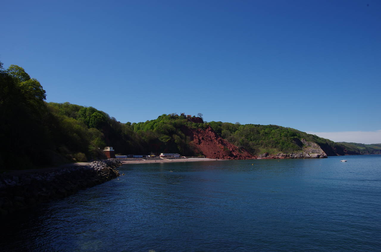
The path heads uphill beside the tracks for a short distance before passing under the tracks and descending on the other side to meet the aforementioned road. The road soon bends sharply to the left on its way down to the beach, while the Coast Path turns right, over a metal stile and onto a path that traverses a section of undercliff via a series of deteriorating concrete steps and railed paths to reach a walkway around a rocky little point with a good view back to Oddicombe Beach (picture 16).
(17) Babbacombe Beach
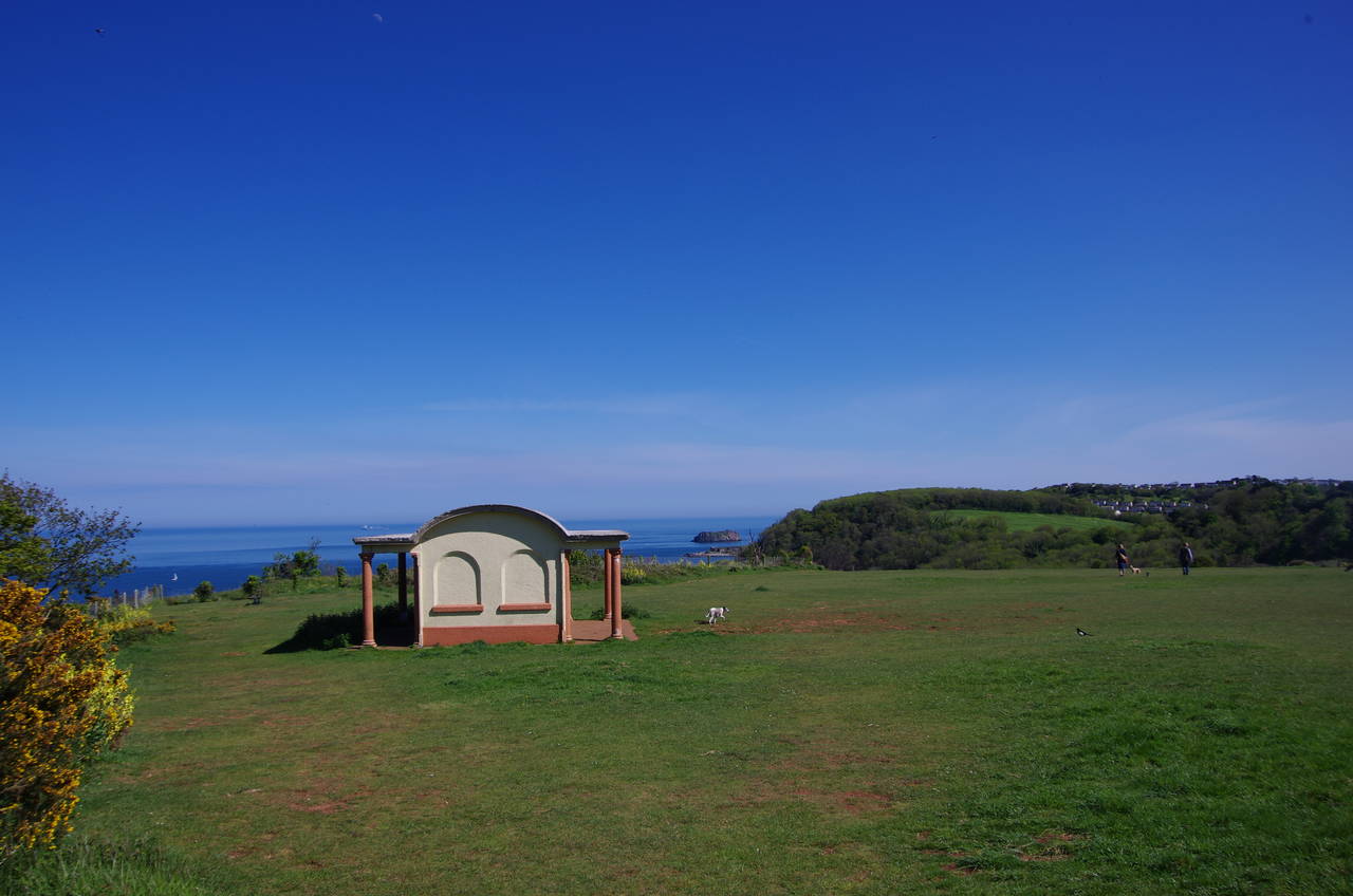
(18) Walls Hill
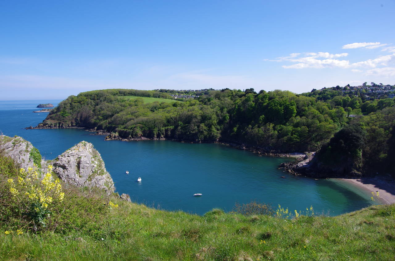
(19) Anstey's Cove
(20) Black Head
Around the point, the path heads along the back of Babbacombe Beach (picture 17), once a small fishing port before it was swallowed up by the expanding urban sprawl of Torquay. Atop the sea wall, the path joins Beach Road, climbing around a bend before turning sharp left off the road to take a path beside the Cary Arms pub to a flight of steps leading to a zigzag track up through woods to the open ground on the plateau of Walls Hill.
The path skirts the edge of the open ground, passing by a slightly unusual shelter (picture 18) before returning to the fenced-off cliff edge about 90 metres above Long Quarry Point, where much of the limestone for Torquay's civic buildings was extracted in the 19th century. Following the fenceline around the point, the path sticks fairly close to the cliff edge above Anstey's Cove (picture 19), where the small Redgate Beach nestles below the unstable cliffs.
Further around the cove a sign at the top of the path down into the cove indicated that access to the beach had been closed since August 1998 due to regular rock falls. That didn't seem to deter a couple of teenagers who were climbing over the wire fence as I passed by.
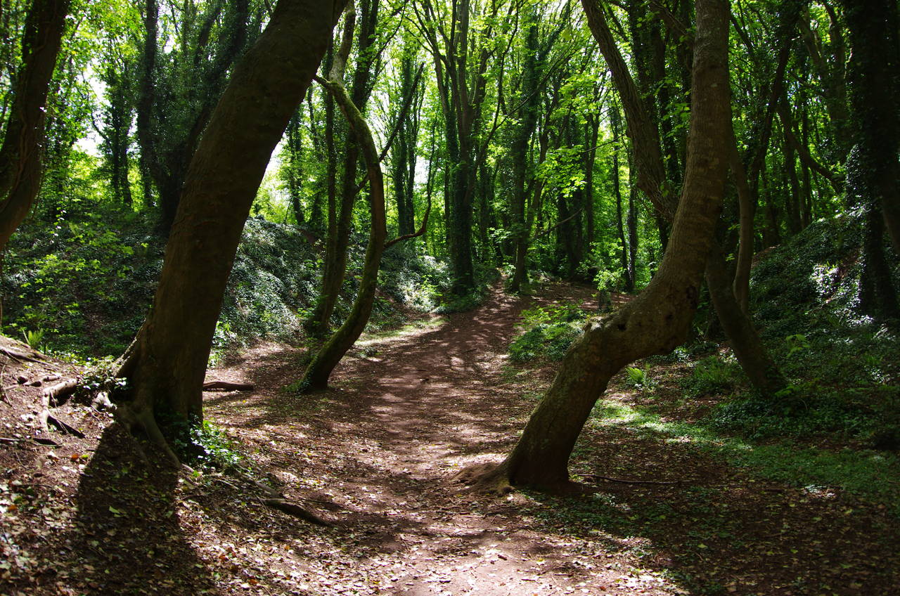
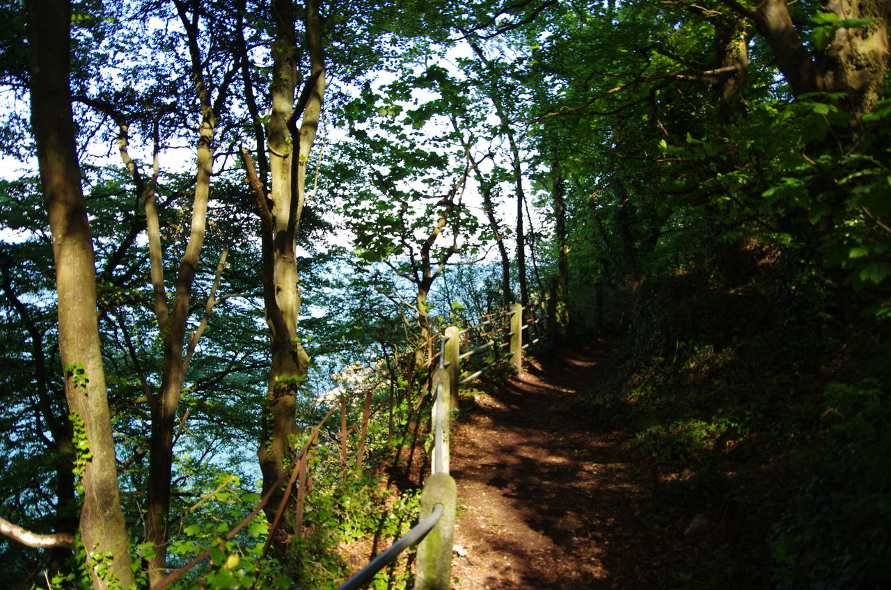
A short stretch through more woods leads the Coast Path to briefly join Anstey Cove Road, turning off on a signed path to the left just after passing a carpark. The path soon re-enters the trees and takes a fairly level route around the steep hillside of Black Head, a little below the summit (picture 20). The path around Black Head is quite rough in places and one must be careful to avoid tripping on the rocks sticking up out of the surface.
(21) Hope Cove
(22) Bishop's Walk
(23) Path above Ilsham Marine Road
(24) Hope's Nose
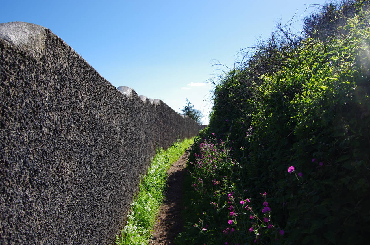
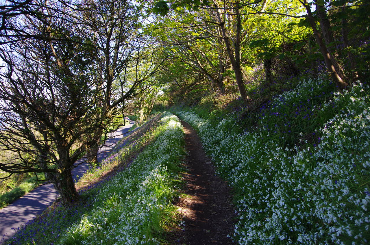
Once around the head, Hope Cove comes into view (picture 21), with the low headland of Hope's Nose on the far side. When the path emerges from the trees, it heads alongside a high stone wall on a path known as Bishop's Walk (picture 22), joining a driveway at the end and following it out into Ilsham Marine Drive. Turning left along the road, the Coast Path soon joins a grassy footpath to the right of the tarmac, the path becoming lined with wildflowers around the next bend (picture 23).
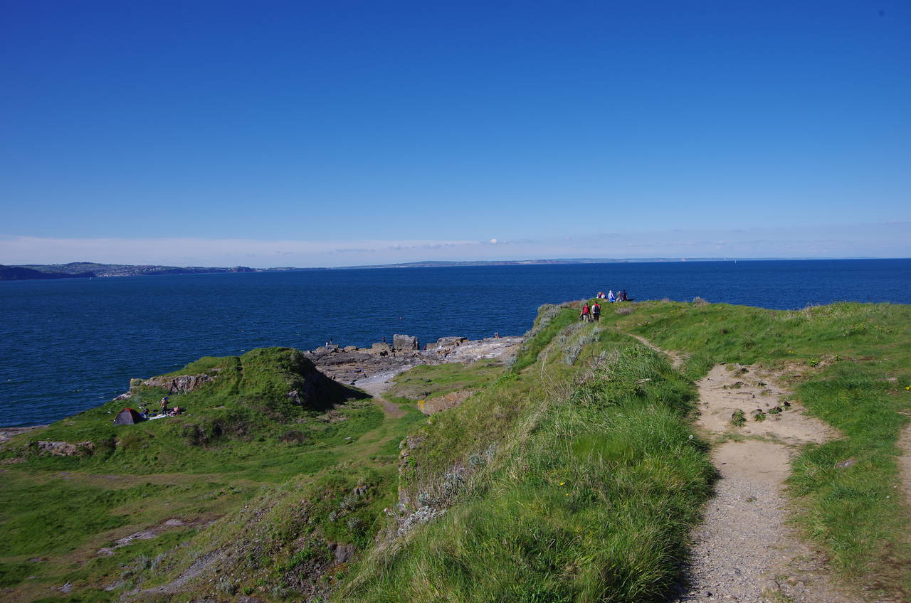
About 400 metres further along, the road curves to the right and the Coast Path offers an optional walk down to the tip of Hope's Nose (picture 24) and back, about 600 metres each way. The walk down to the headland, which bears the scars of extensive quarrying during the 19th century, is quite strenuous due to a very uneven surface of exposed limestone. Despite that, it seemed to be a rather popular spot, with dozens of people having come down for a picnic, to fish off the rocks, or to pitch a tent.
(25) View of Torbay from Thatcher Point
(26) Thatcher Rock
(27) Road down to Meadfoot Beach
(28) Meadfoot Beach
Back on Ilsham Marine Drive, the Coast Path continues around the bend in the road. As the road straightens, a signpost points off to the left along a narrow path that twists and turns it's way around the clifftop of Thatcher Point, revealing the view across Torbay towards Paignton and Brixham with the large peak of Thatcher Rock offshore in the foreground (picture 25). The path continues around the point, with more good views of the rock (picture 26) before the path returns to Ilsham Marine Drive.
The road descends beside a tall retaining wall (picture 27) below a large clifftop apartment building, turning sharp left at the bottom onto Meadfoot Sea Road, which runs behind the rocky Meadfoot Beach (picture 28).
(29) View back from Daddyhole Plain
(30) View towards Torquay Harbour
(31) Torquay Harbour
(32) Clock Tower, Torquay
When the road curves away from the far end of the beach, the Coast Path climbs a flight of concrete steps, skirts a small carpark, then climbs a longer flight of steps to pass through a stone archway. Crossing the end of a lane, the path joins a signposted footpath leading to another long flight of steps that climbs up to a carpark on the edge of the grassy expanse of Daddyhole Plain, where there are good views back towards Thatcher Point (picture 29).
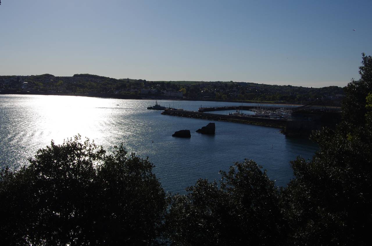
The path runs along the edge of the carpark and crosses the grass, heading for another stone archway just below a wooden coastguard lookout tower. A narrow path winds its way along the ragged clifftop below the stone walls of clifftop homes to reach an area called London Bridge, with views ahead to Torquay Harbour (picture 30). Soon the path is forced to leave the clifftop, a path between stone walls leading around the side of the Imperial Hotel and onto the busy Parkhill Road.
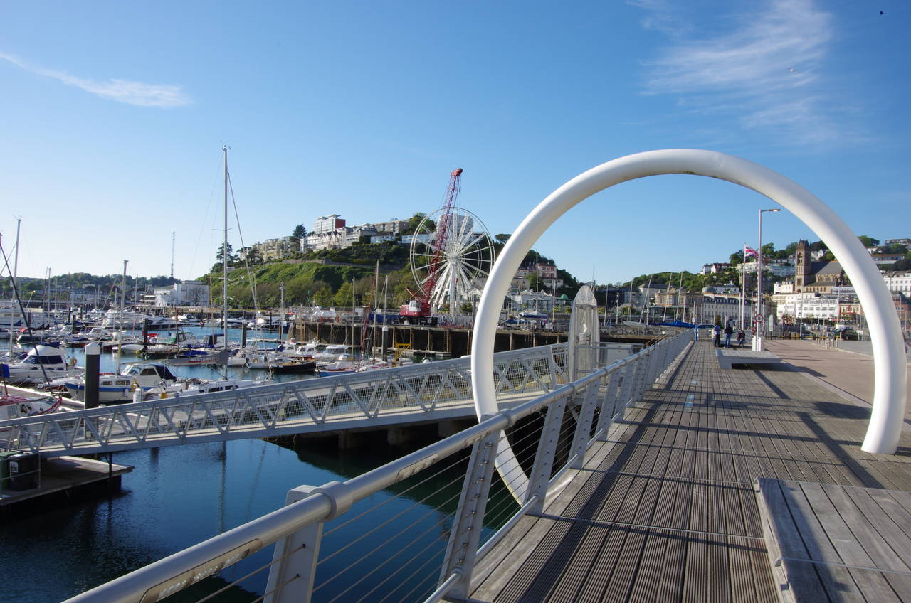
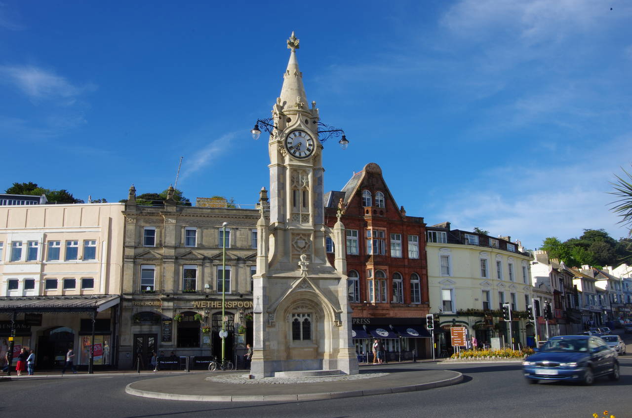
The Coast Path heads left along the road, soon bearing left down Beacon Hill and passing the Living Coasts tourist attraction before steps on the left head down beside a carpark to the edge of the outer harbour (picture 31). The official route of the Coast Path turns right along the quay to find a footbridge across the mouth of the inner harbour to join a path along the landward side of the neighbouring marina, but I found the bridge closed and had to follow the quayside all the way around the back of the harbour, passing by the town's rather ornate clock tower, which stands in the middle of a roundabout in the town centre (picture 32).
(33) War Memorial, Torquay
(34) Torre Abbey Sands
(35) Corbyn's Head
(36) View of Torquay from Corbyn's Head
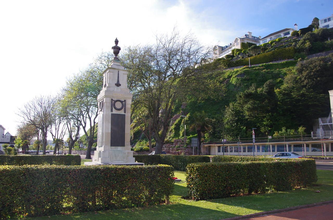
The promenade behind the marina runs along the edge of Princess Gardens where a large ferris wheel was under construction. In the middle of the garden the town's war memorial stands with the steep Terrace Gardens rising in the background on the other side of the main road (picture 33).
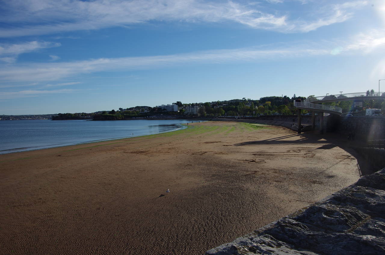
At the end of the gardens the path passes between the Princess Theatre and the end of the Princess Pier, which forms the western side of the harbour. The promenade continues beside the busy A379 Torbay Road, curving around above the beach at Torre Abbey Sands (picture 34) then running along opposite the large Abbey Park to pass behind the small promontory of Corbyn's Head (picture 35).
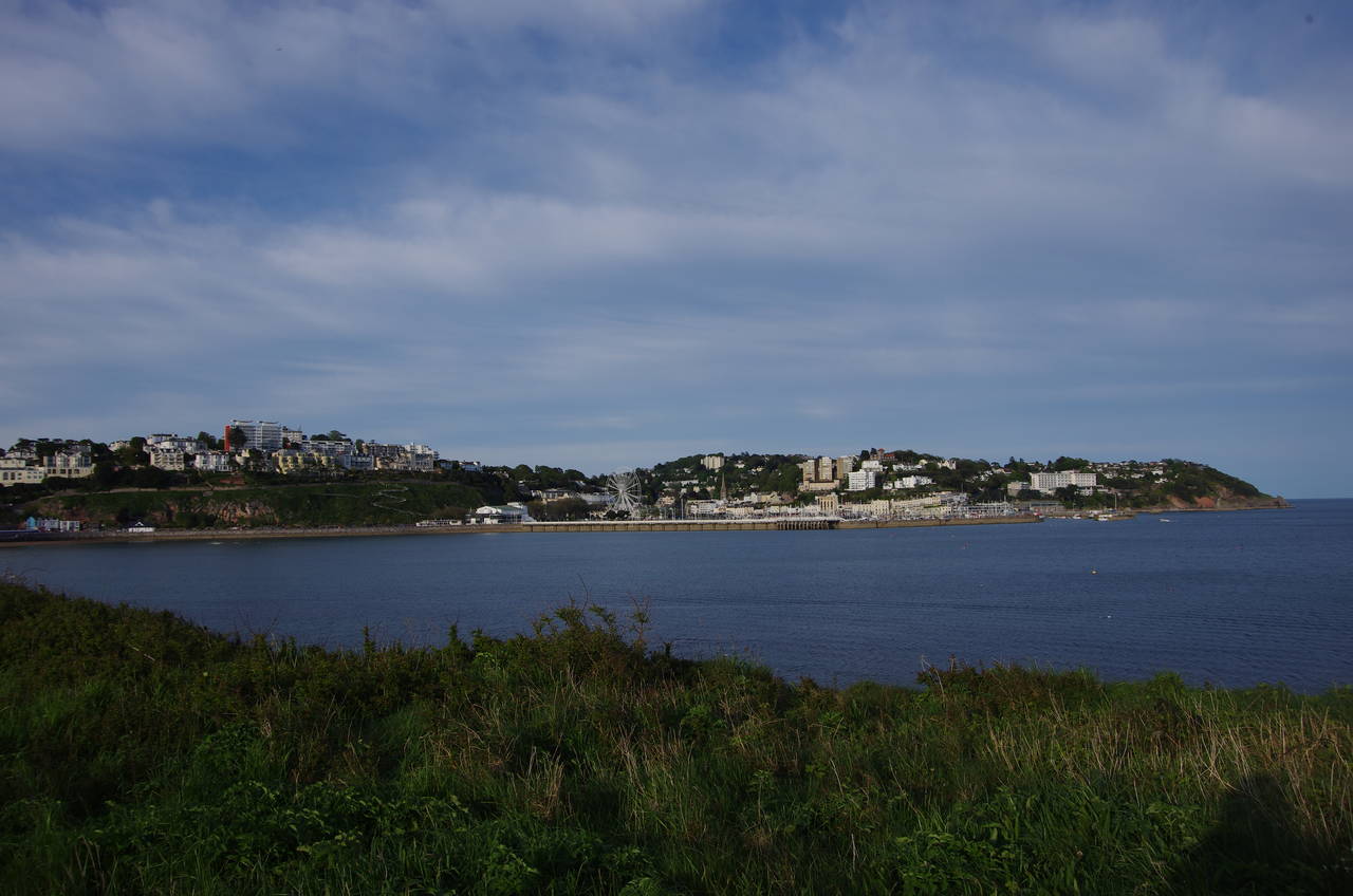
As the closest point on the path to Torquay's railway station, this seemed like a good place to call it a day, with 20.1 kilometres walked from Shaldon. Before heading for the train, I wandered up onto the headland to enjoy the views back across the water to the harbour (picture 36). There is a small war memorial on the headland remembering six artillerymen killed here while on duty in August 1944, a reminder that life here hasn't always been as peaceful as it is today.