SMUGGLERS' WAY
Stage 2: Liskeard to Golitha Falls
Wednesday, May 9, 2018

(1) Cornish cross by the B3254
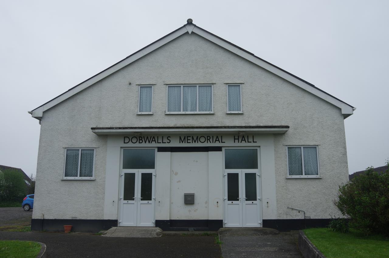
(2) Dobwalls Memorial Hall

(3) Dobwalls United Church

(4) The Highwayman
It was a drizzly and grey early afternoon when I walked back down the long lane from Liskeard to the wayside cross by the B3254 (picture 1) where the two branches of the Smugglers' Way separate. The western branch heads northward along the road, which thankfully wasn't very busy, crossing a bridge over the Great Western Mainline after a kilometre and continuing along the road into the village of Dobwalls, passing the village hall (picture 2) shortly before reaching a crossroads on the main street.
The route continues ahead through the crossroads, but first I went wandering along the main road on either side of the crossroads, finding the Dobwalls United Church just to the right (picture 3) and The Highwayman pub (picture 4) a couple of minutes walk to the left. The latter made a good lunch stop.

(5) Havett Farm

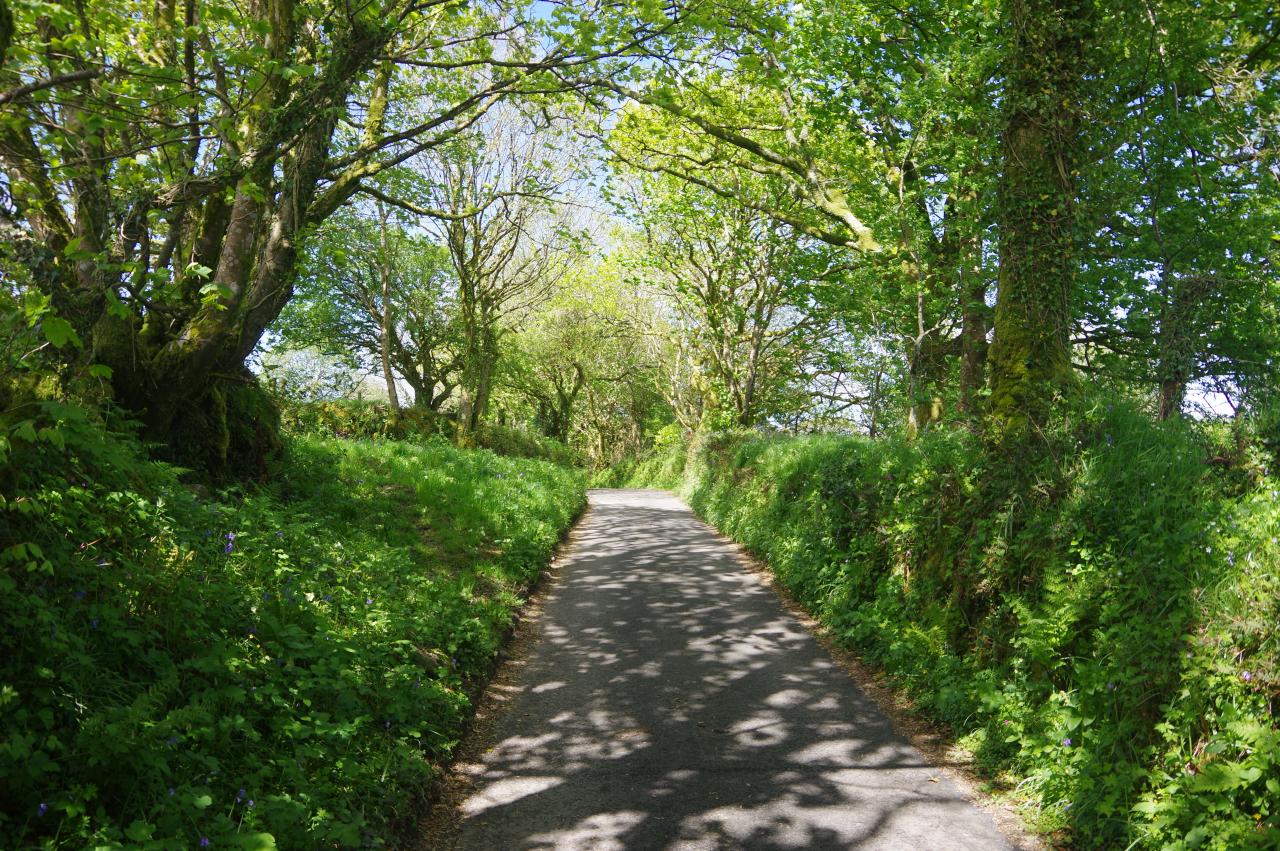
(6) Quiet lane

(7) Pellagenna Farm

(8) Crossroads by Burnt House
Back on the Way, I walked northward from the crossroads on Havett Road, leaving the village via a bridge over the dual carriageway of the A38. On the right, next to a wooden gate immediately after the bridge, is a footpath running through a short stretch of scrub and into a long, narrow field. In the far left corner of the field, the Way joins the driveway of Havett Farm and heads up towards the farm buildings, going through a gate and then turning left through a second gate into a large field (picture 5).
The Way initially follows the left edge of the field before bearing right towards a wooden footbridge in the far field boundary. There was no obvious path across the next, irregularly-shaped field, but the correct approach seemed to be to bear slightly right to find a gap in the field boundary leading into one more field where one can walk along the right-hand edge to reach a quiet lane.
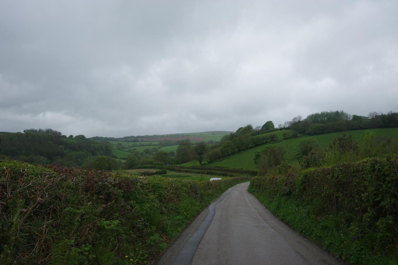
Turning left, the Way follows the lane through trees (picture 6) and then between hedge-lined fields with views over Pellagenna Farm to the right (picture 7). The lane continues past tracks heading left and right and then climbs through a quiet crossroads by Burnt House (picture 8).
(9) Lane descends into the Fowey Valley

(10) Approaching Treverbyn Bridge

(11) Treverbyn Old Bridge
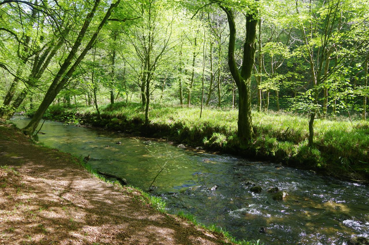
(12) River Fowey in Trengale Wood
Before long the lane starts to descend gently into the valley of the River Fowey (picture 9), taking about a kilometre to reach the river at Treverbyn Bridge (picture 10), where a relatively modern stone road bridge built in 1929 stands beside a much older bridge dating from around 1412 (picture 11).
While I was pausing for a snack, the sun came out for the first time in the afternoon and I set off across the grass-covered medieval bridge with a little more vigour. A hundred metres down the road, a footpath sign on the right points the way over a stile and along a path beside the river through Trengale Wood (picture 12). This stretch of the Way is shared with the Two Valleys Walk, a ten-kilometre circular walk from the village of St Neot, which I walked on a sunny afternoon a few days after this walk. With the sun streaming down through the canopy, the riverside path through Trengale Wood was the highlight of both walks.
(13) Lower Trenant
(14) Sunken lane to Draynes

(15) West Draynes

(16) The Way turns off the lane
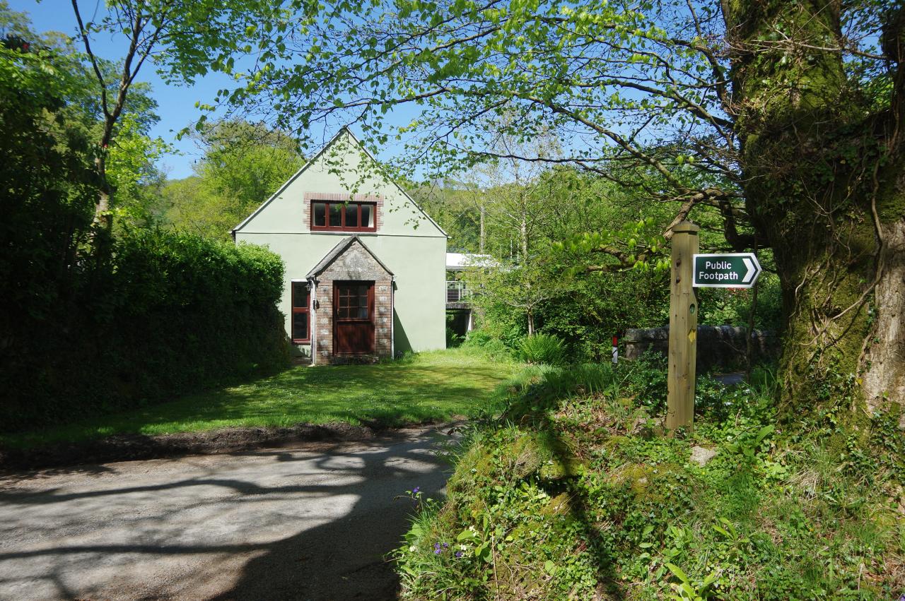
After following the river around a right-hand bend, the Way reaches some wooden railings on the riverbank and bears away from the river to follow a path through the trees, eventually turning left through a metal gate onto a track leading to a lane at Lower Trenant (picture 13).
Turning right along the lane, the Way parts company with the Two Valley Walk, passing Higher Trenant Farm before heading along a sunken stretch of tarmac (picture 14) to pass through the hamlets of West Draynes (picture 15) and Draynes.
Five-hundred metres beyond Draynes, the Smugglers' Way turns left off the lane onto a hedge-lined farm track (picture 16) that heads out onto the edge of Bodmin Moor. That would have to wait for another day however, as I wanted to visit the nearby Golitha Falls. According to my GPS, I had walked 11.7km so far from Liskeard.

(17) Moorland view

(18) Draynes Bridge

(19) Golitha Falls

(20) Golitha Falls
Through a gap in the hedge I was able to look across the farmland on the edge of the moor (picture 17) before I resumed walking along the shady lane for another kilometre to the Golitha Falls carpark by Draynes Bridge (picture 18). Following the River Fowey downstream from the bridge, it is about ten minutes walk through pleasant woodland to reach the first of the falls, where a stretch of the river tumbles over granite boulders in a long series of small waterfalls (pictures 19 and 20).