SMUGGLERS' WAY
Stage 3: Golitha Falls to Jamaica Inn
Thursday, May 10, 2018
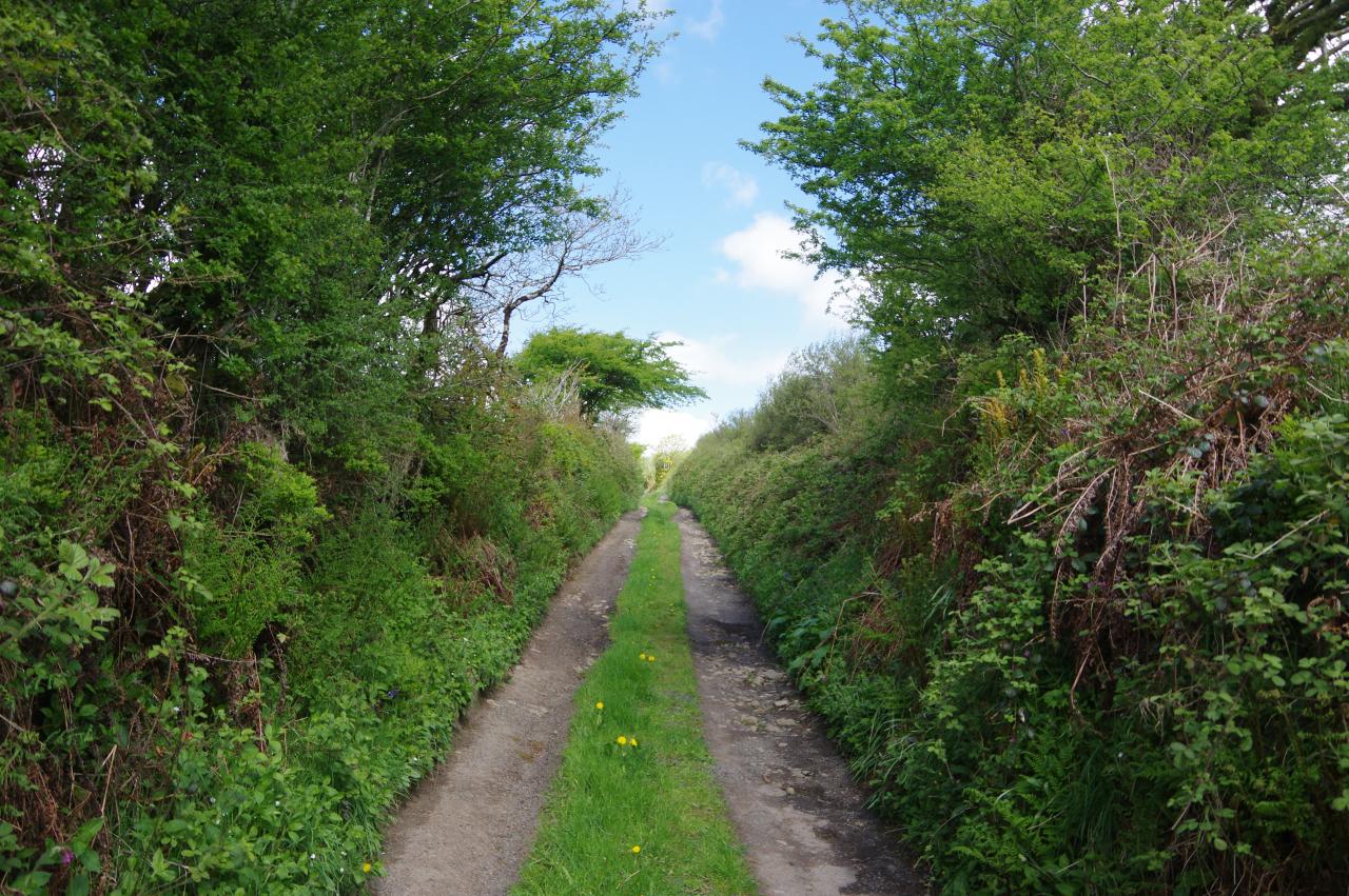
(1) Sunken track
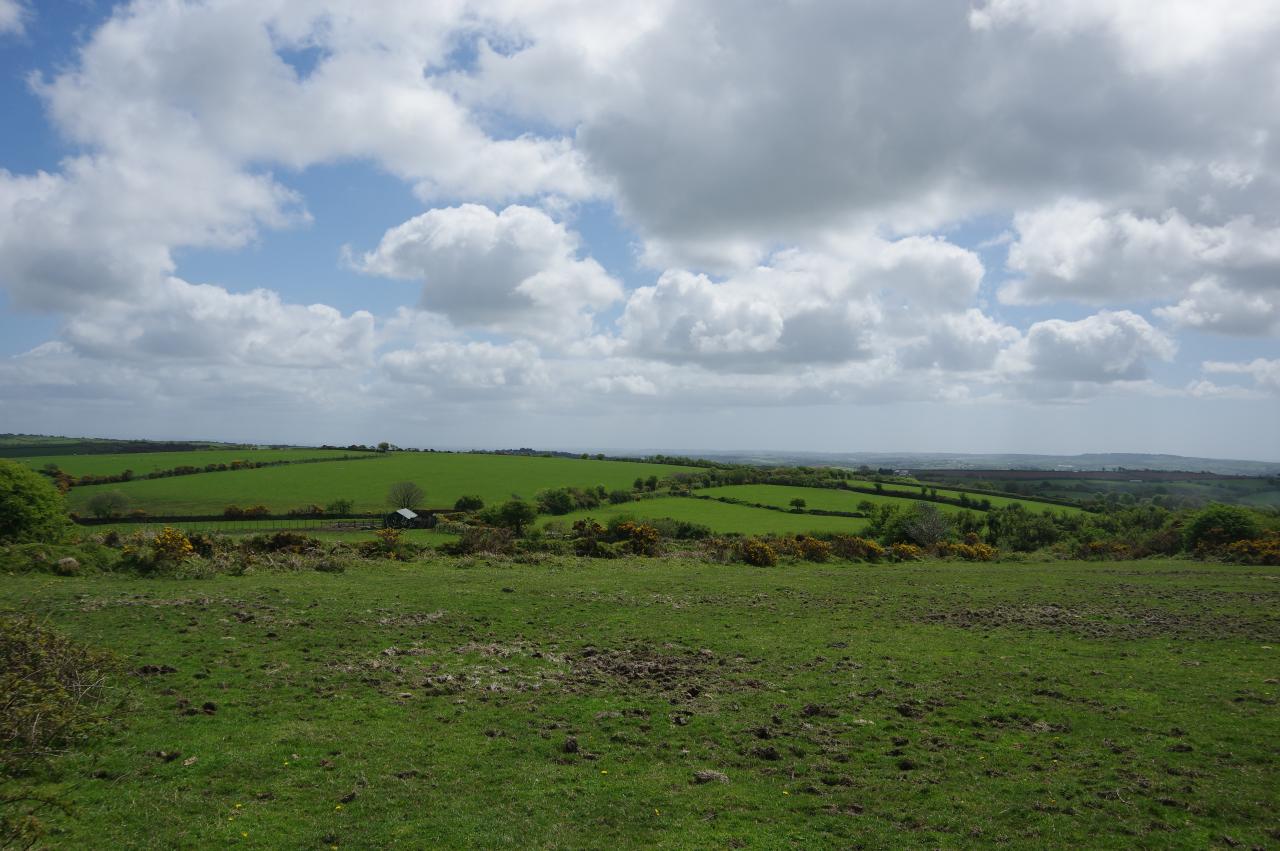
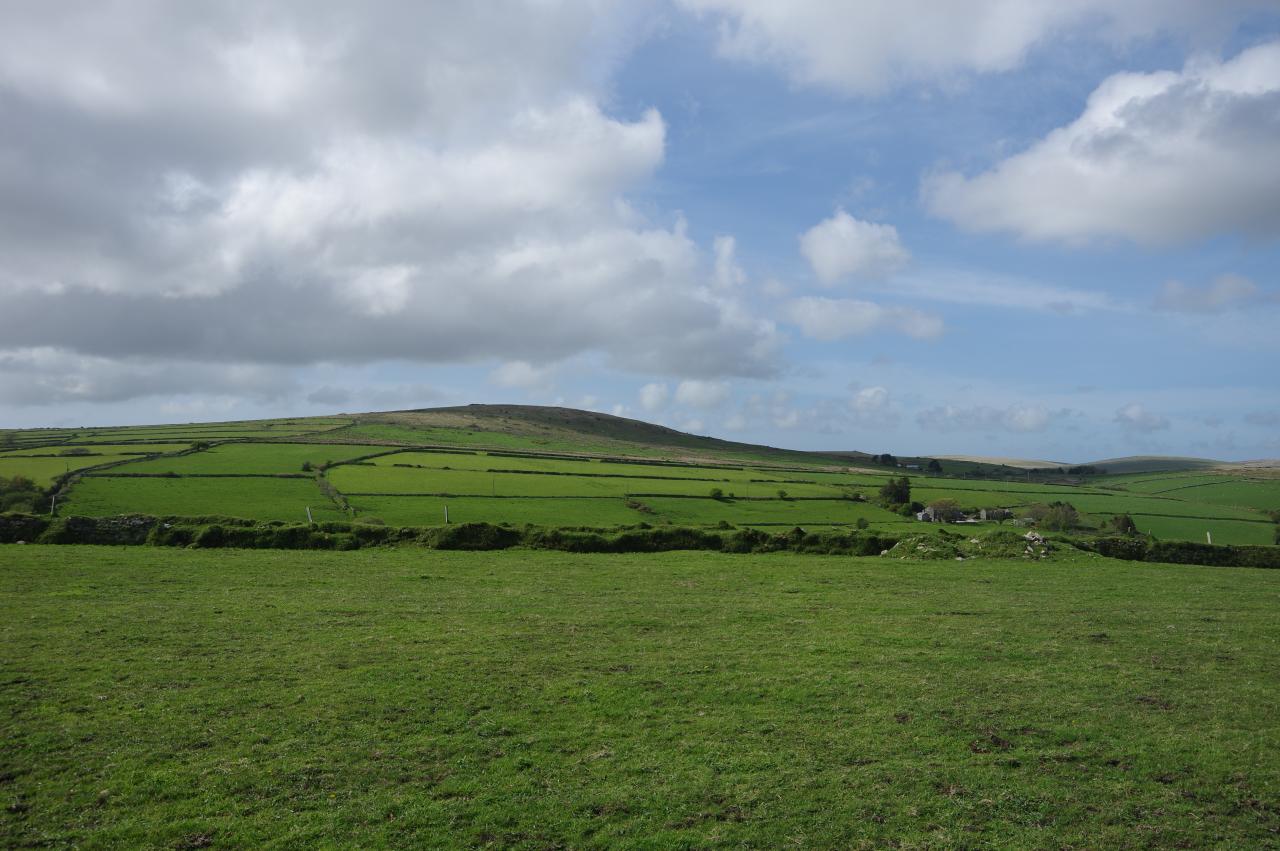
(2) Moorland view

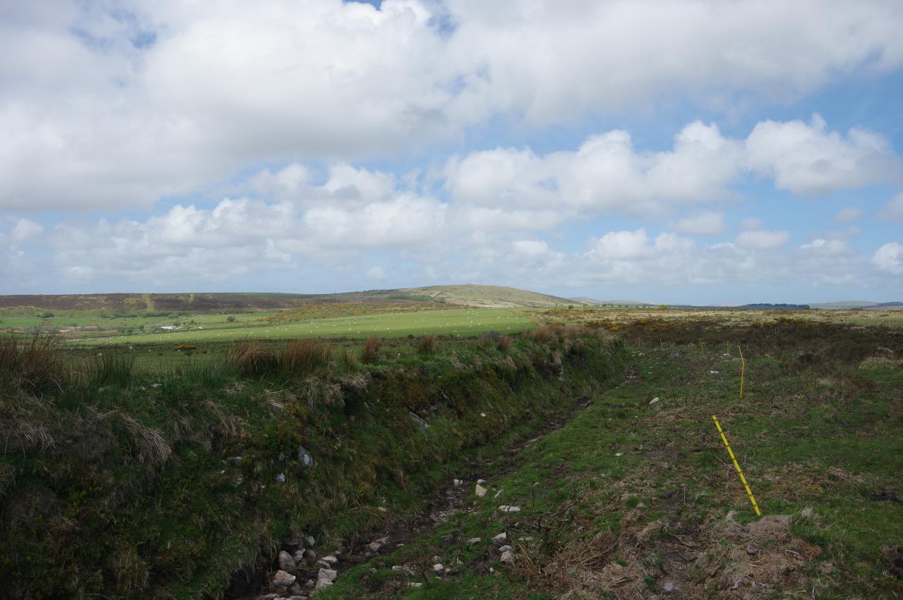
(3) Draynes Rylands

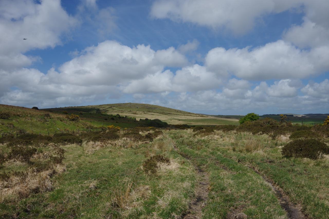
(4) Draynes Common
After making a return visit to Golitha Falls and eating my packed lunch by the rushing river, I strolled up the lane from Draynes Bridge to return to the track where I had left the Smugglers' Way on the edge of Bodmin Moor a couple of afternoons before. As I set off around the first bend in the track, a doe burst from the undergrowth and hopped over the hedge, too fast for me to snap a photo.
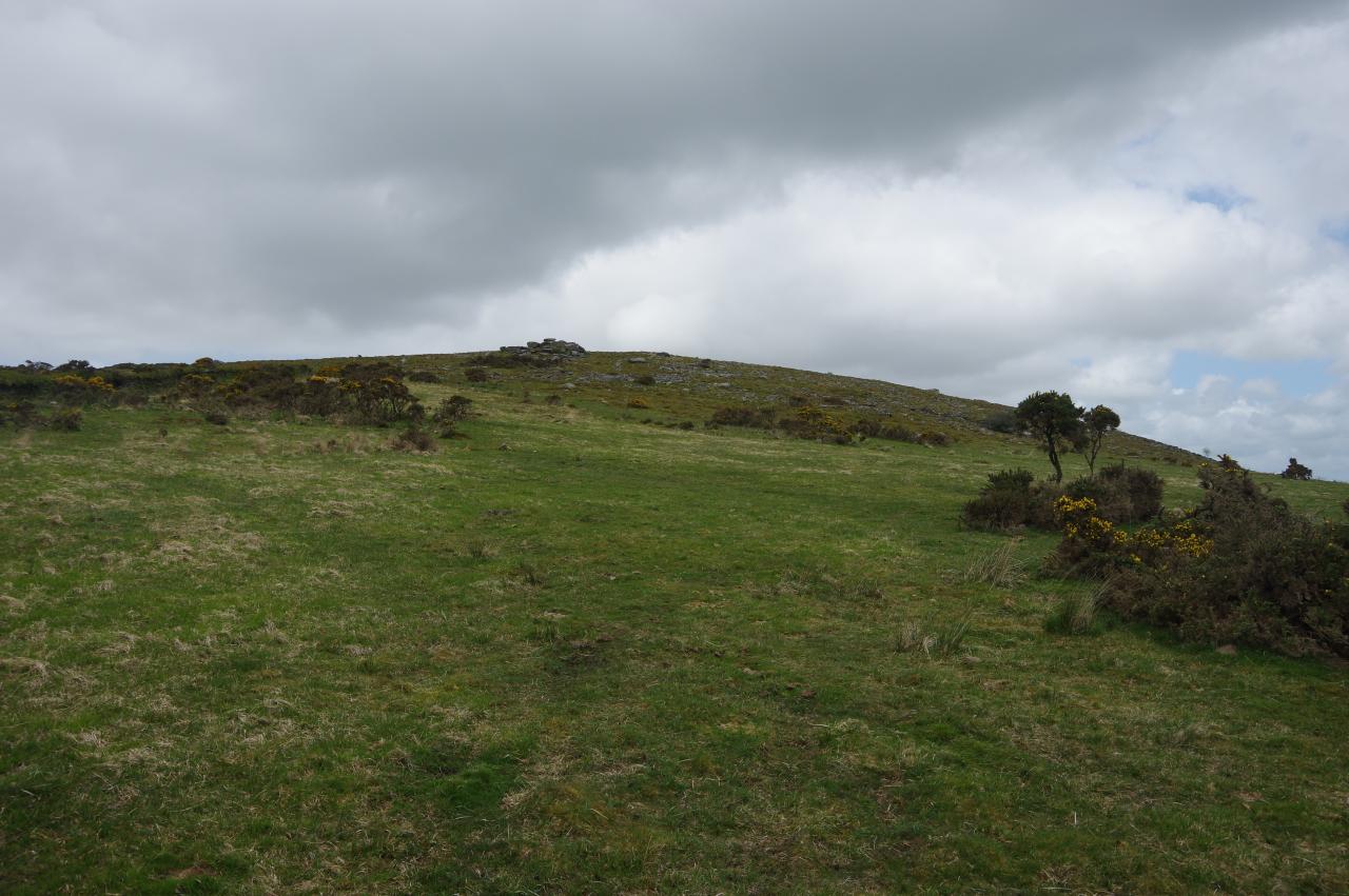
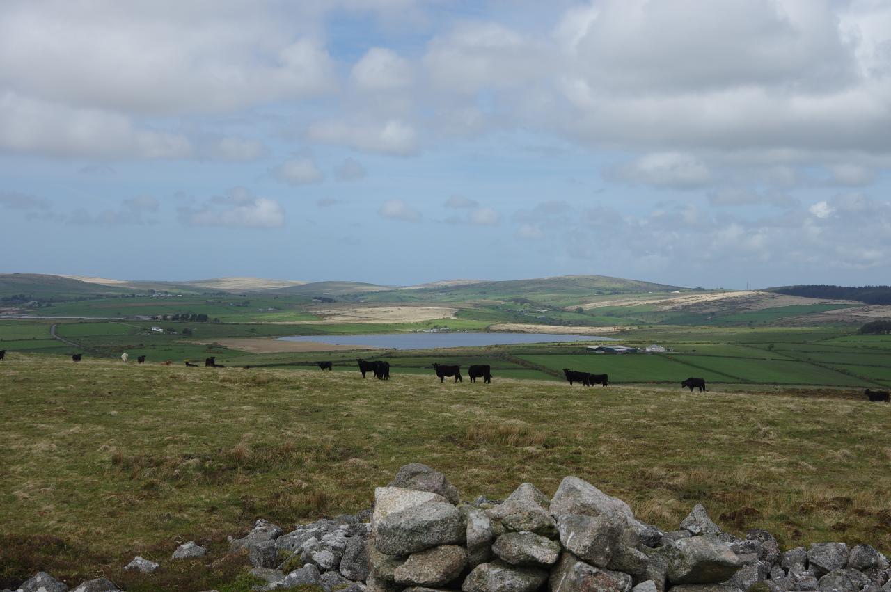
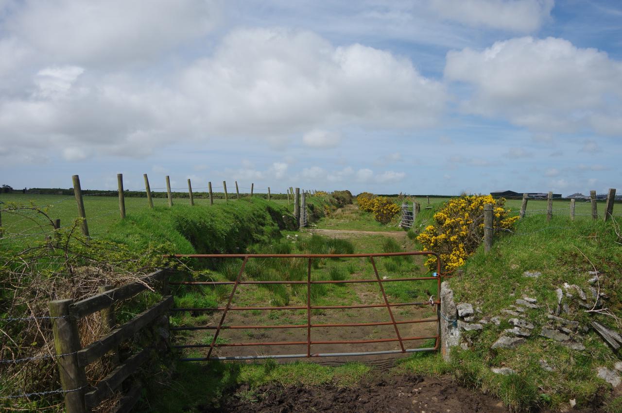
The sunken track (picture 1) runs between paddocks, eventually curving left and narrowing before reaching a metal gate. Beyond the gate, one must bear right through a small patch of scrub to a post in a large field. One of the arrows on the post points up the right edge of the field, corresponding to an unnamed footpath marked on the Ordnance Survey map, and the Way follows this, climbing gently towards a gap in the low stone wall, a little to the left of the top right corner. From the top of the field there is a good view back across the paddocks I had just passed (picture 2).
Stepping over the stone wall, one enters an enclosed area of uneven moorland, populated by a handful of hardy cattle and punctuated by stunted trees (picture 3). This area is named Draynes Rylands on the Ordnance Survey.
The Way continues in the same direction as before to pass through a metal gate in the next, rather more substantial stone wall, entering the much larger expanse of Draynes Common (picture 4).
(5) Following low stone wall
(6) The Driftway
(7) Climbing Brown Gelly

(8) Tor on Brown Gelly
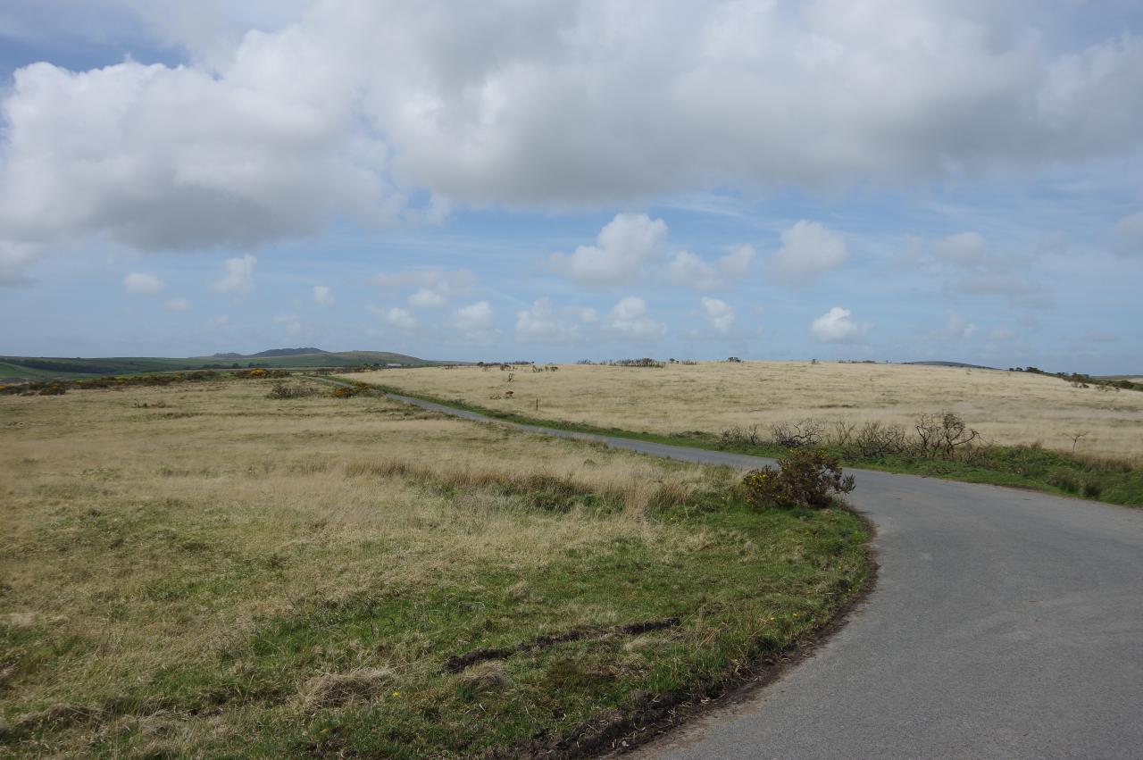
Still following the footpath marked on the OS map, the Way heads across the common, aiming a little left of north and a little to the right of the low, rounded peak of Brown Gelly to reach a corner in a stone wall about 700 metres away. The ground has been made quite uneven and muddy in places by the resident cattle, so walking across it proved to be a bit strenuous despite it being fairly level.
Having found the low stone wall that encloses Draynes Common, I followed it all the way to the north-west corner, with Brown Gelly growing more prominent ahead (picture 5). Through a gate in the wall the Way continues straight ahead along the right side of a field and through a second gate into the long, narrow enclosure of The Driftway (picture 6), a kilometre-long fragment of an old drove road. Here one must pick one's way through the gorse and long grass as the Way gradually ascends the southern slope of Brown Gelly.
A rickety gate at the end of The Driftway takes the Way back onto open ground on the shoulder of Brown Gelly (picture 7), still with about 60 metres of ascent to reach the granite tor ahead (picture 8), though this is not the true summit of the hill.
(9) Summit cairn on Brown Gelly
(10) View east from Brown Gelly
(11) Colliford Lake
(12) View towards Dozmary Pool
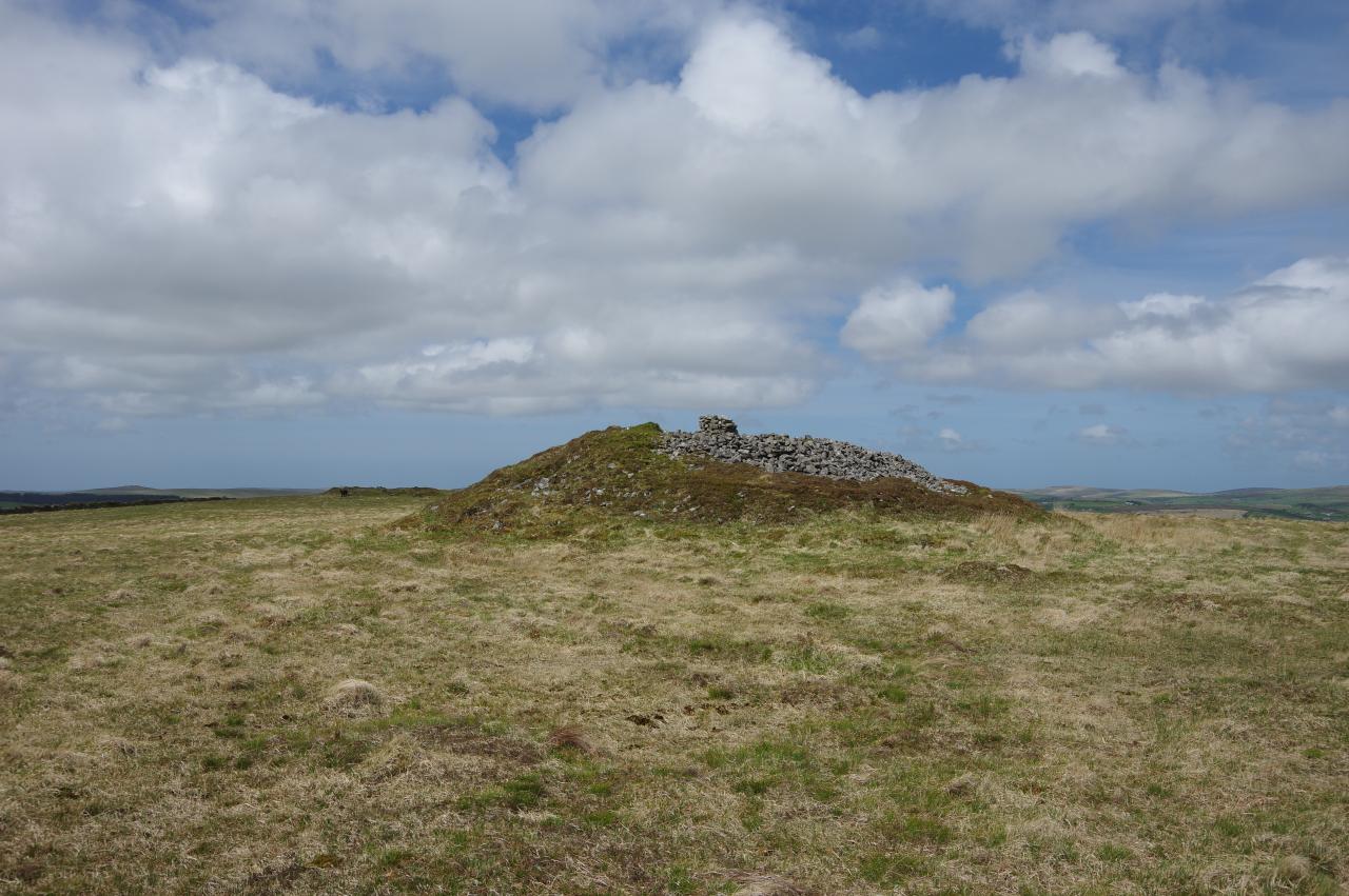
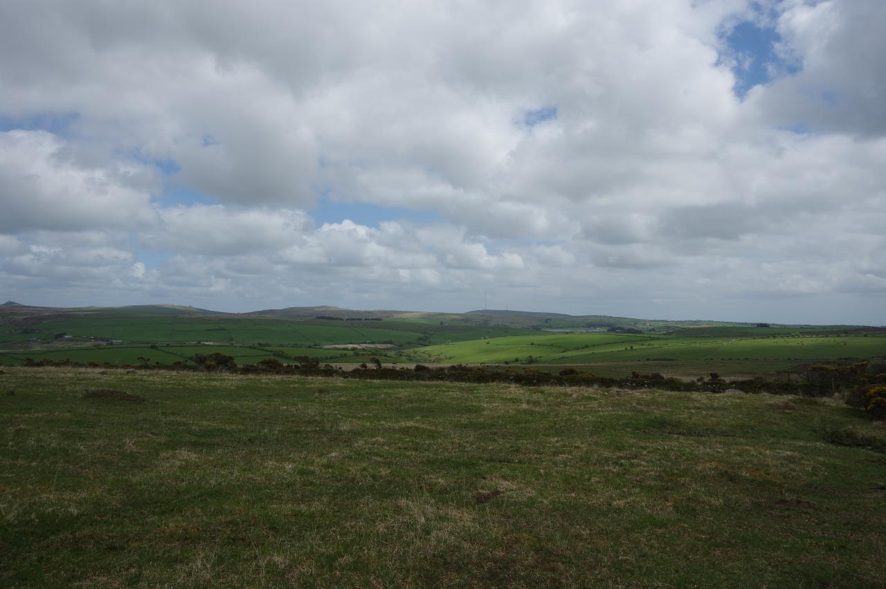
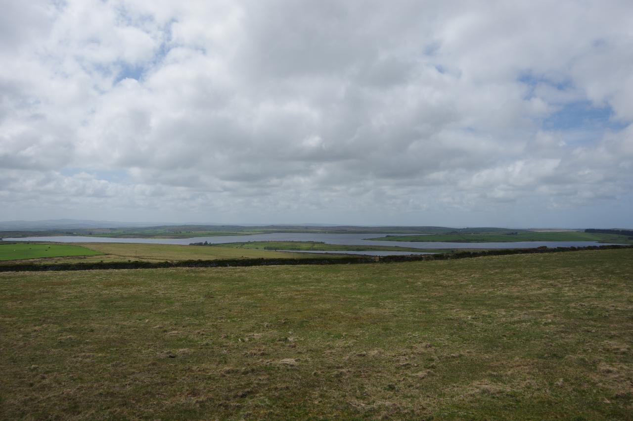
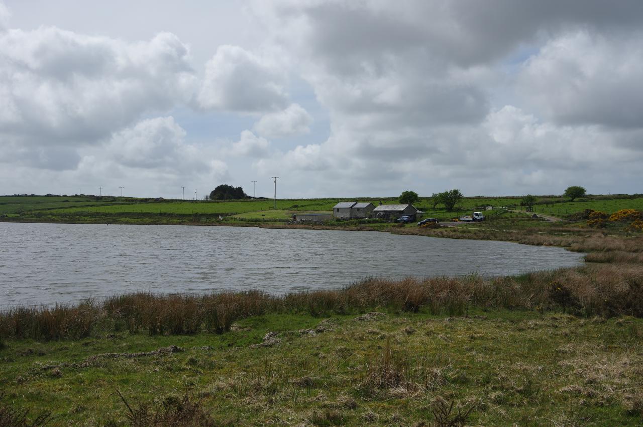
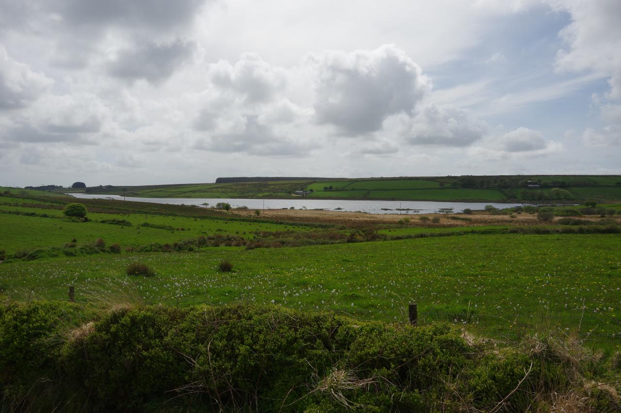
The summit of Brown Gelly is a little further north, marked by one of five large Bronze-Age burial cairns (picture 9) next to an Ordnance Survey triangulation pillar at 342 metres above sea-level. From atop the summit cairn there are good views east across the valley of the River Fowey to the peaks visited by the eastern alternative of the Smugglers' Way (picture 10), including Caradon Hill, Sharp Tor and Kilmar Tor. To the west is the Colliford Lake reservoir (picture 11), the largest body of fresh water in Cornwall, covering around 360 hectares. Moving on, the Way heads due north as it descends from Brown Gelly, aiming for the right-hand edge of Dozmary Pool (picture 12).
(13) Overgrown track
(14) Dozmary Pool
(15) Dozmarypool Farm
(16) Freshly tarmacked lane
As the Way descends the pathless hillside, the parallel hedges of a sunken track between fields soon come into view. The track, which turned out to be a bit overgrown (picture 13) is duly followed and emerges onto a short section of boggy track flanked by wire fences that passes a short distance to the left of the buildings of Redmoor Farm. At a junction, the Way turns left on a much firmer track leading to the shore at the southern tip of Dozmary Pool (picture 14).
Some versions of the Arthurian legend say that King Arthur received his sword, Excalibur, from the Lady of the Lake here, that he later died on this shore after his final battle and that Excalibur was then thrown into the water by Sir Bedivere to be reclaimed by the Lady of the Lake. Another legend claims that the pool is bottomless, but that much at least was debunked when it was established that the pool is less than three metres deep.
The Way follows the grassy shore around the eastern side of the lake, joining a farm track about three quarters of the way around to Dozmarypool Farm (picture 15), which stands directly opposite the spot where the path first reached the shore. By the farm buildings, the Way turns sharp right onto a lane that had been newly resurfaced with fresh tarmac not long before my visit (picture 16).
(17) Dozmary Downs
(18) Colliford Lake
(19) Jamaica Inn
(20) View north from Jamaica Inn
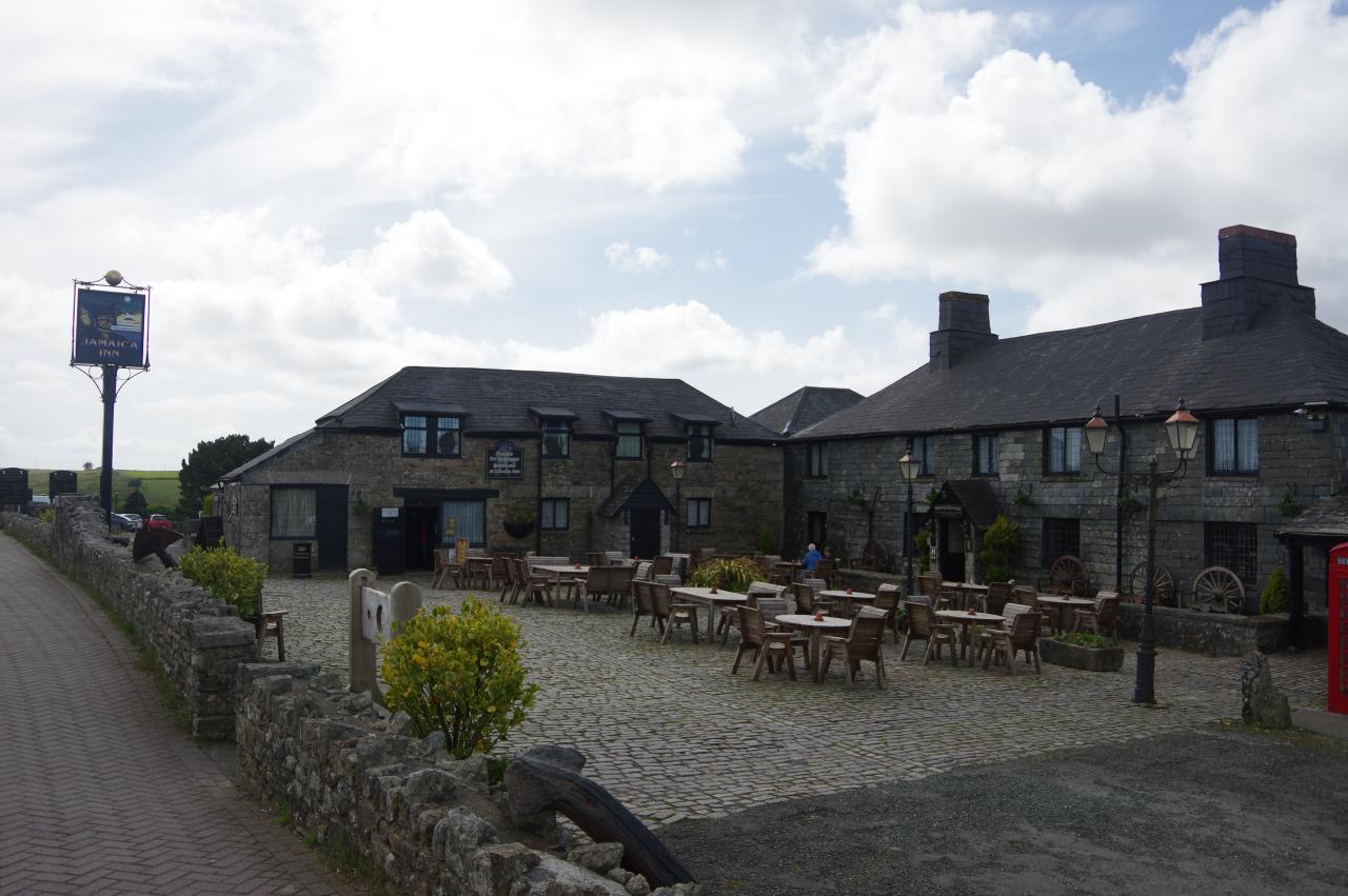
At the first junction, the Way turns left onto older tarmac, following the next lane across Dozmary Downs (picture 17), not far from the northern tip of Colliford Lake (picture 18). After a little more than two kilometres walking on tarmac, the lane arrives at the small village of Bolventor, opposite the large sprawling complex of Jamaica Inn, the end of the afternoon's walk. I had walked 11.8km from Golitha Falls, though it felt like a bit more than that due to the rough terrain on Draynes Common and Brown Gelly and I rewarded myself with a pint of ale in the pub.
The older part of the pub (picture 19), built as a coaching inn around 1750 for travelers crossing the moor, was a famous smugglers' haunt in the latter part of the 18th century and is said to be one of England's most haunted pubs. Since then the inn has grown considerably with a farm shop and a large restaurant added behind the original building and extra accommodation added to its right. Jamaica Inn was also immortalised in print in 1936 by the Daphne du Maurier novel of the same name and on film by Alfred Hitchcock's adaptation of the novel in 1939.
Behind the pub, the busy A30 bypasses Bolventor and slices Bodmin Moor neatly into northern and southern halves, with the traffic thundering through a cutting that separates the village from its little church. From the top of the grassy bank behind the pub, there is a good view across the cutting to the track that takes the Smugglers' Way up the left side of Tolborough Downs, but that was still a few days away for me as I was going to walk the other branch from Liskeard first.