SMUGGLERS' WAY
Stage 1: Looe to Liskeard
Tuesday, May 8, 2018
(1) Banjo Pier
(2) Looe Beach
(3) The Old Lifeboat Station
(4) West Looe
The Smugglers' Way begins on the south coast of Cornwall in the town of Looe, which straddles the estuary of the East Looe River in two unequal halves; East Looe being the larger and busier side. I was somewhat familiar with the town before this walk, having visited when walking the South West Coast Path in the summer of 2014, and I spent the evening before this walk reacquainting myself with the warren of narrow streets in the oldest part of East Looe, where several ancient pubs and at least two excellent fish and chip shops sell fish landed by the town's small fishing fleet.
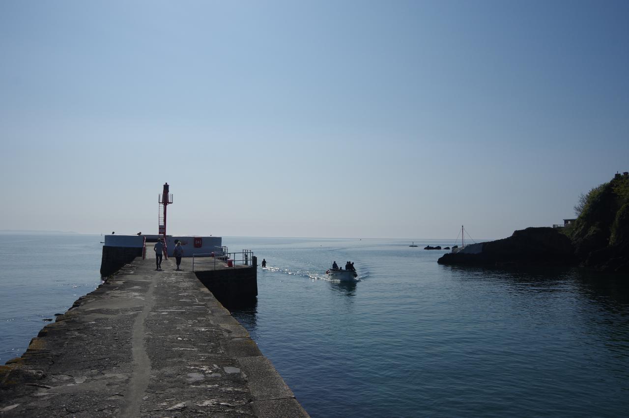
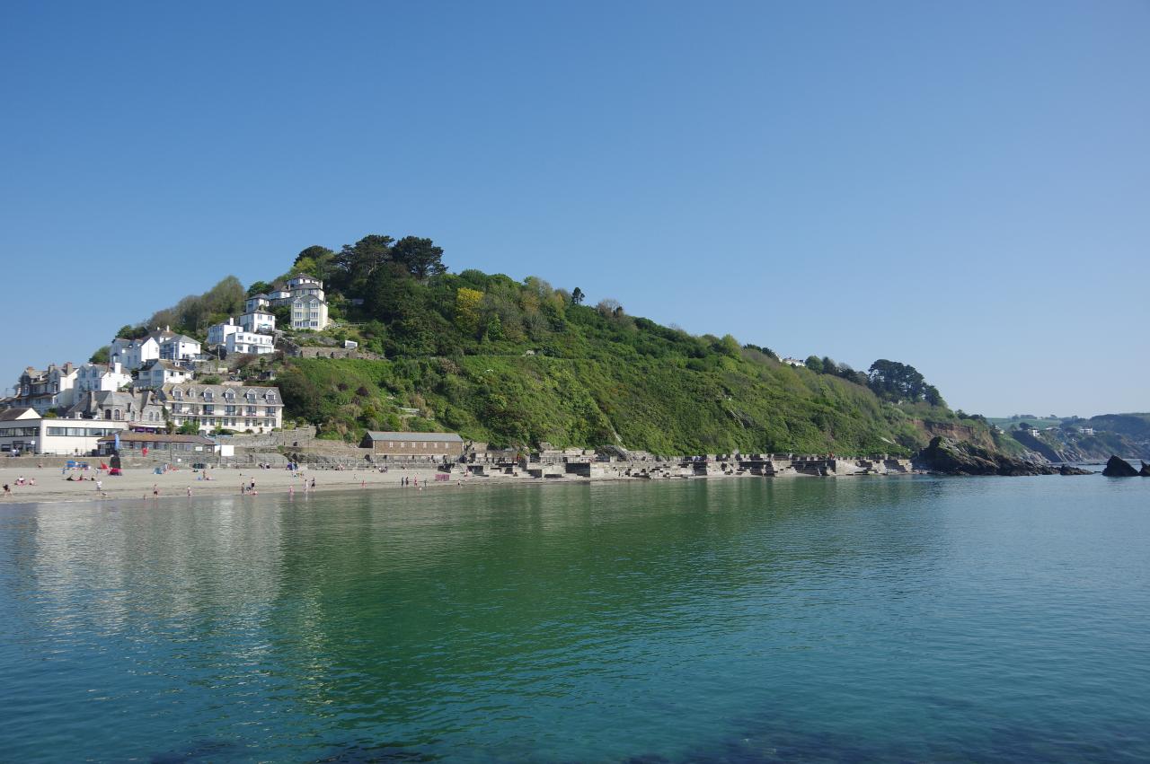
The morning was sunny but a little hazy as I walked down through East Looe to the start of the walk on the 19th-century Banjo Pier (picture 1), which separates East Looe Beach from the mouth of the river. From the round platform at the end of the pier, there is a good view of the sandy beach and the elaborate concrete sea defences designed to prevent erosion of the adjacent hill (picture 2).
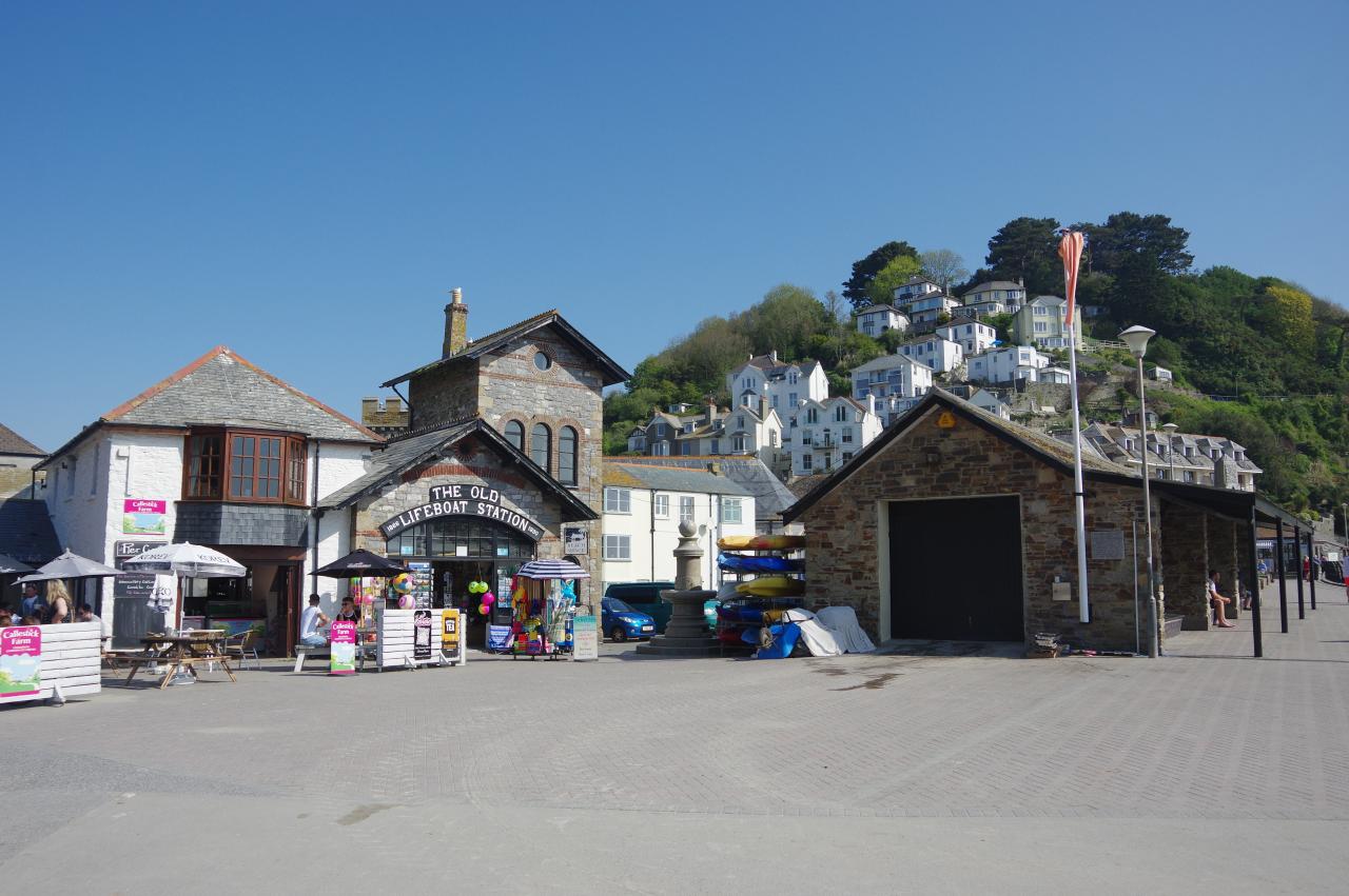
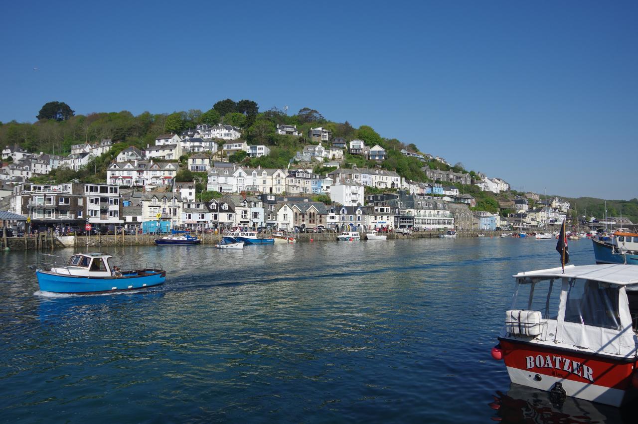
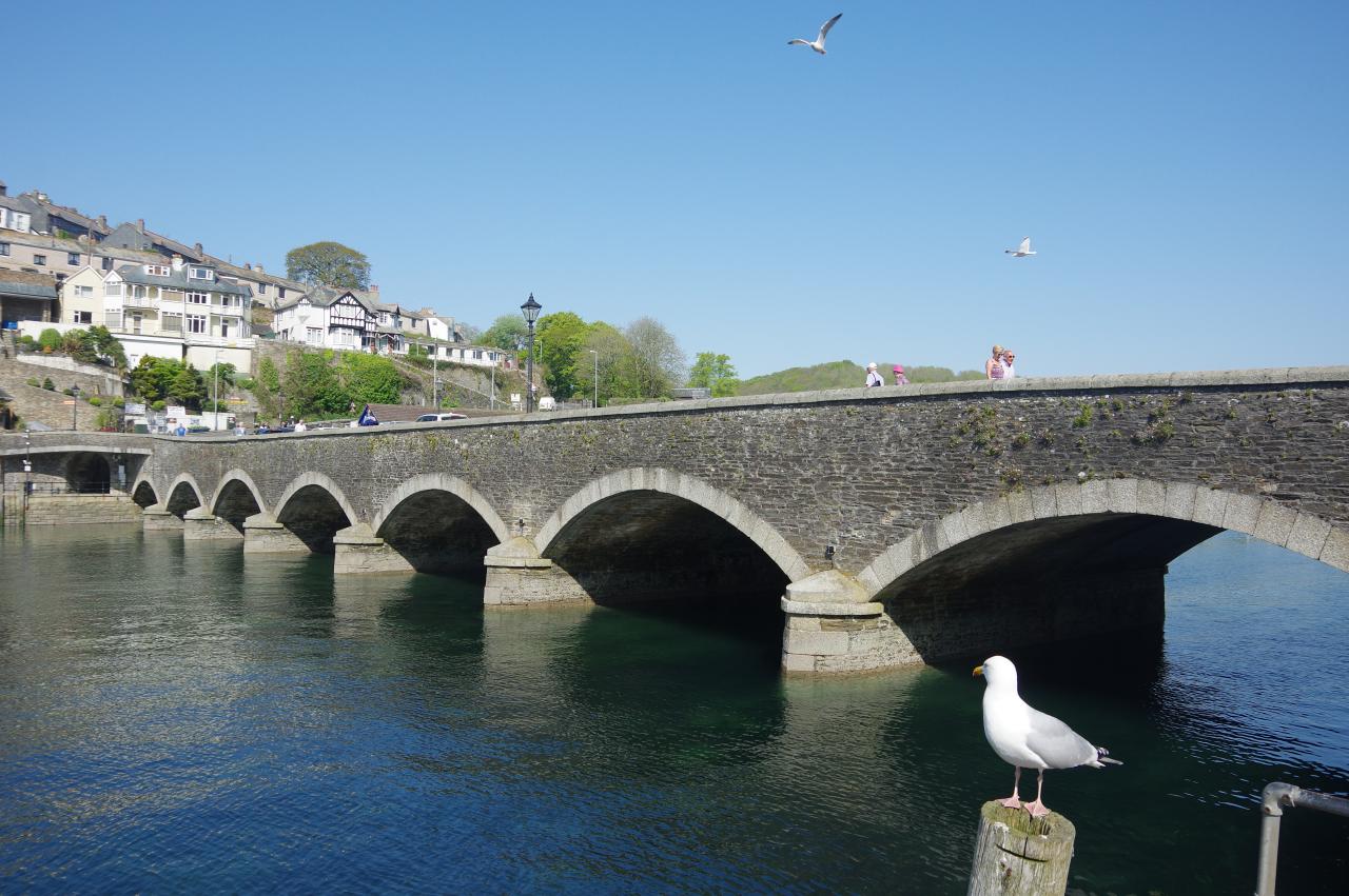
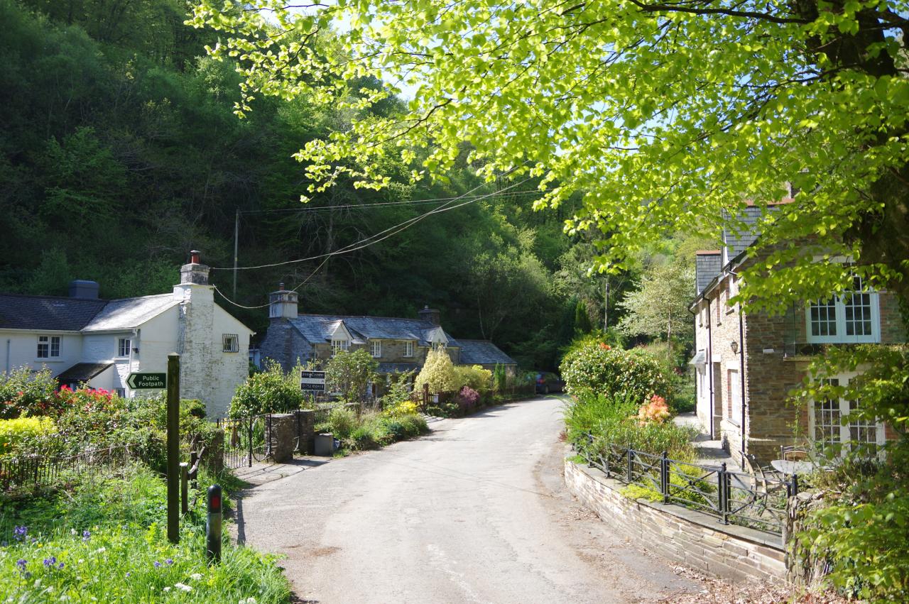
The Smugglers' Way heads back along the pier then goes between the Old Lifeboat Station (picture 3) and its larger replacement to join Buller Street, a narrow lane along the quayside with views across the harbour to the houses of West Looe stacked up the steep hillside (picture 4).
(5) Looe Bridge
(6) Looe War Memorial

(7) Looe Harbour
(8) Looe Mill Pool
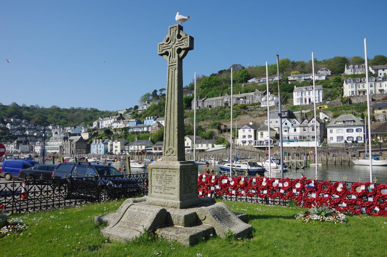
The Way sticks with Buller Street when it turns away from the quay and soon becomes Fore Street, which runs past shops and a riverside carpark to the Victorian-era Looe Bridge of 1853 (picture 5), which replaced earlier bridges built in 1411 and 1436. Standing by the end of the bridge is the tall Celtic cross of the town's war memorial (picture 6).
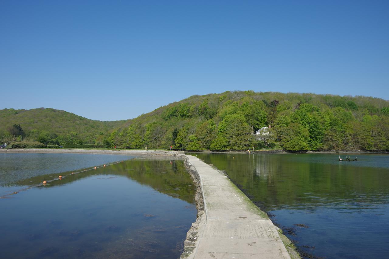
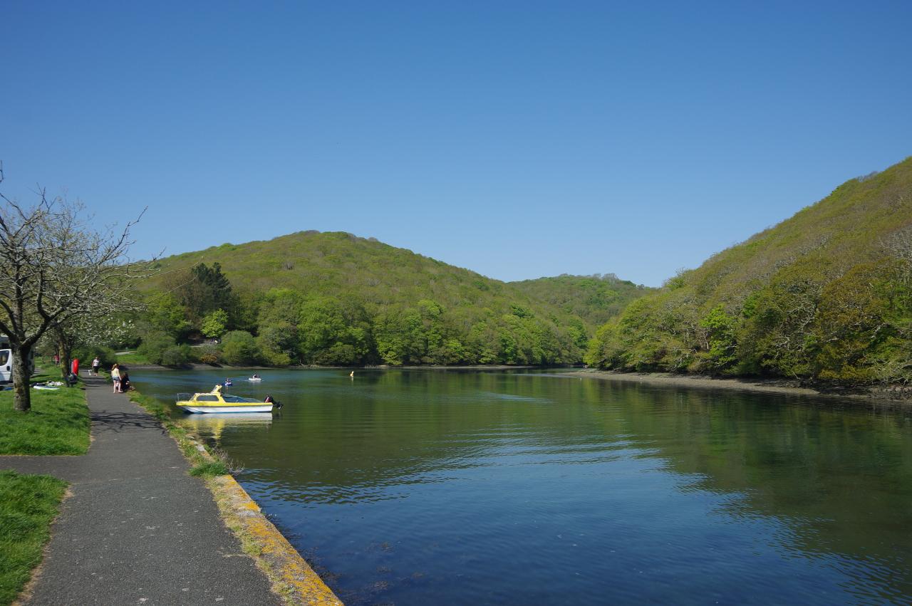
While crossing the bridge to West Looe there is a good view back along the harbour from the downstream pavement (picture 7), though it is perhaps wiser to use the nearby pedestrian crossing and walk along the upstream side of the bridge. Having reached the far side, the Way turns right on Polperro Road, but almost immediately forks right again to follow a lane down amongst some interesting shops to the Millpool Carpark. Crossing the carpark to the edge of the large Mill Pool, the Way takes a narrow causeway around the right-hand side of the pool (picture 8).
(9) East Looe Valley
(10) West Looe Valley
(11) Kilminorth Woods
(12) West Looe River
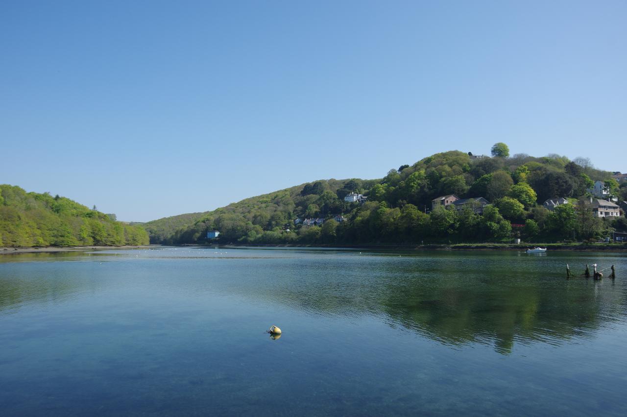
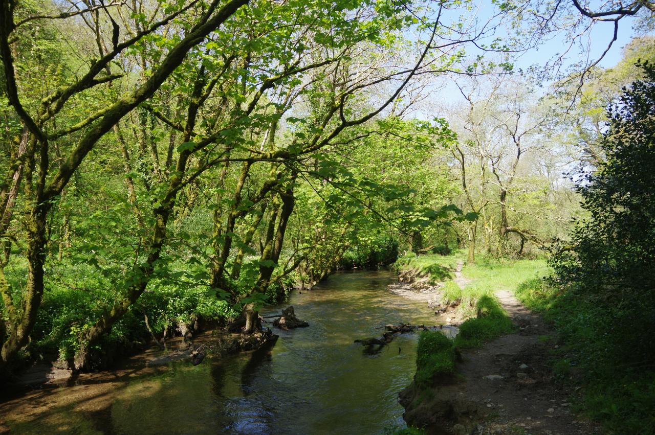
The Mill Pool stands by the confluence of the East and West Looe Rivers and from the causeway there is a view up the East Looe Valley (picture 9) before the causeway ends and the Way continues along a footpath beside the West Looe River (picture 10).
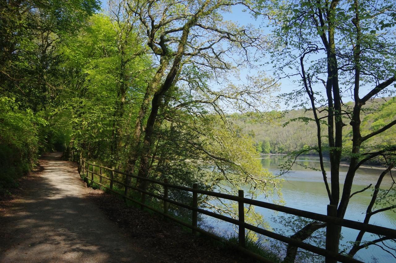
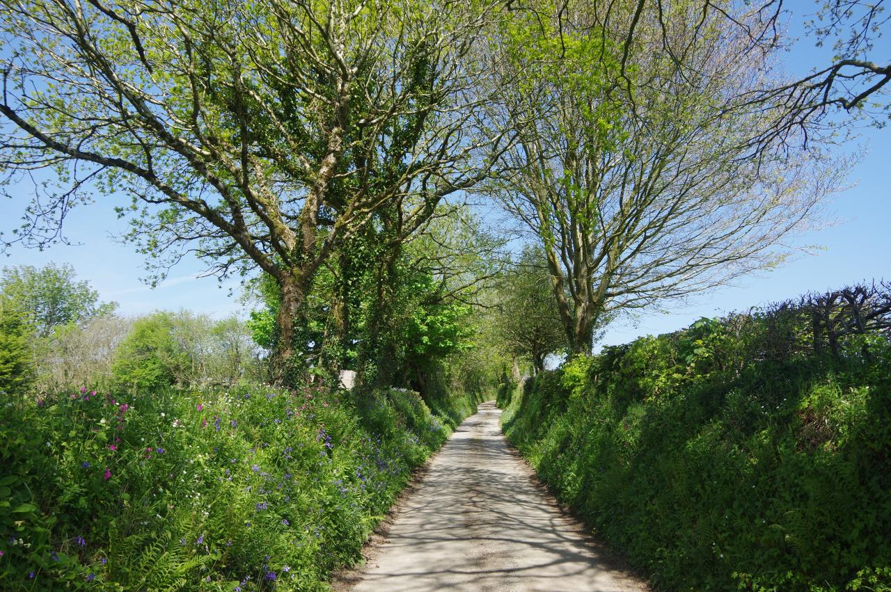
Beyond another large section of the carpark, the Way enters the broadleaved woodland of Kilminorth Woods Local Nature Reserve, which flanks the river for the next couple of kilometres to the hamlet of Watergate. The path through the woods (picture 11) is broad and easy as far as a riverside picnic area, where I stopped for a brief chat with a couple who were paddling a canoe down the river to Looe (picture 12).
(13) West Looe River near Watergate
(14) Watergate
(15) Lar Limekiln
(16) Isolated post box
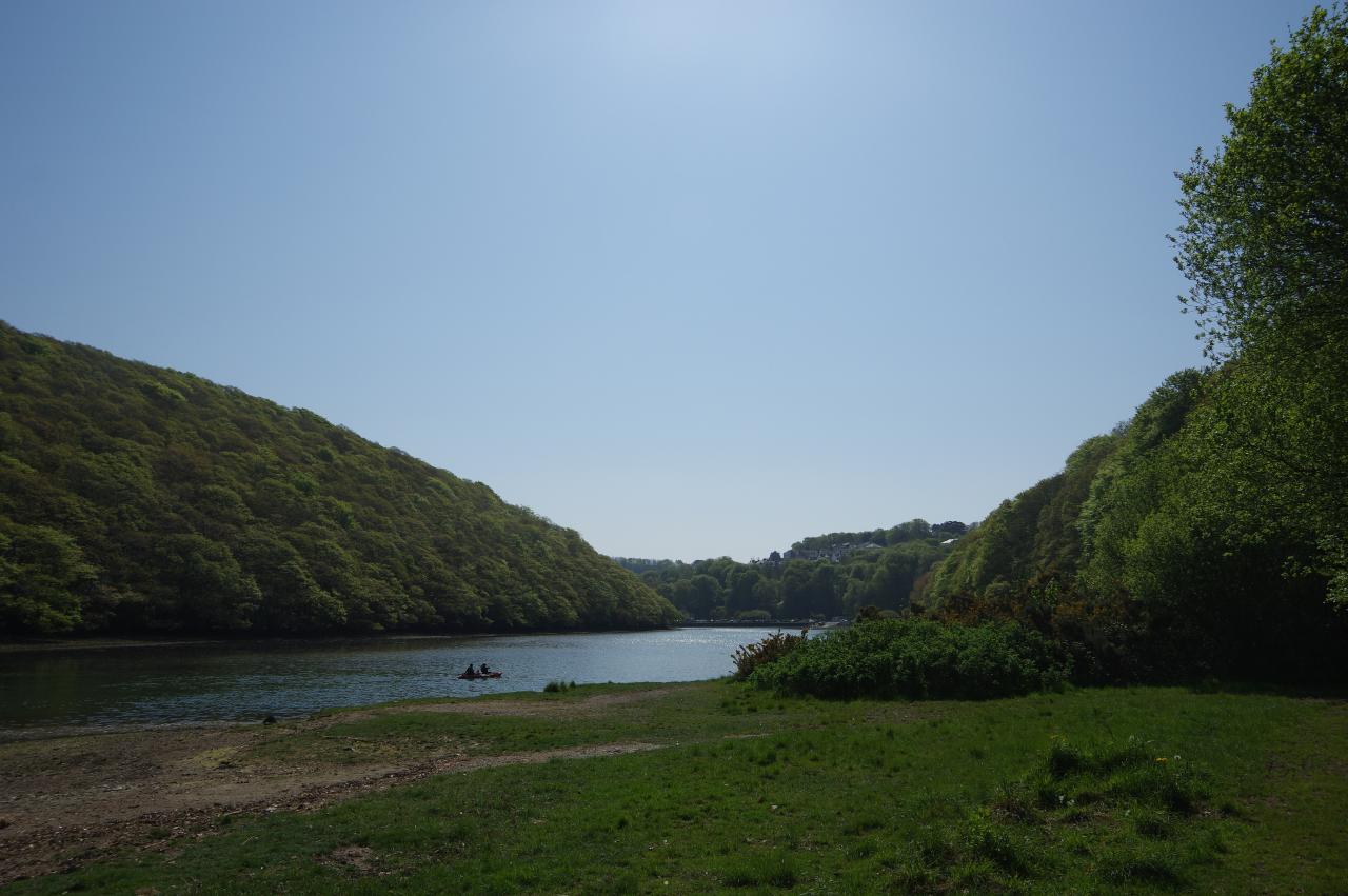
Beyond the picnic area, the path is narrower and has a few minor ups and downs, but is well signposted all the way to Watergate and never strays far from the river. The river gradually narrows too as it approaches the upper limit of the tidal section and becomes a meandering channel snaking its way along the valley floor (picture 13) by the time the path emerges onto a narrow lane by the handful of houses at Watergate (picture 14).
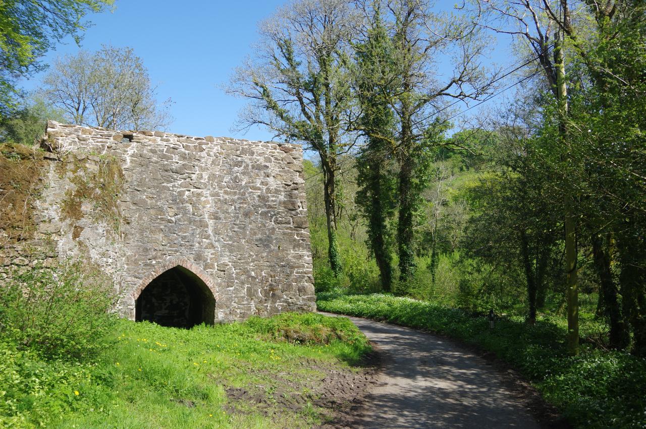
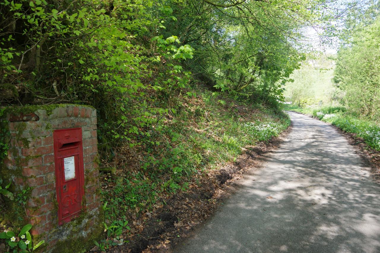
The Way turns right to follow the lane up the left side of the tranquil valley, soon passing the Lar Limekiln (picture 15) and, further on, a rather isolated red post box (picture 16) before reaching a three-way junction.
(17) Sowden's Bridge
(18) Path beside the West Looe River
(19) Ruins by the path
(20) Tremadart Wood
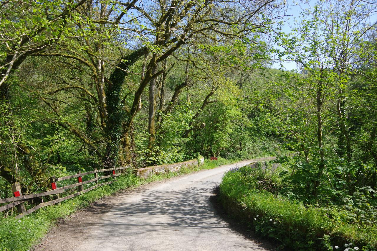
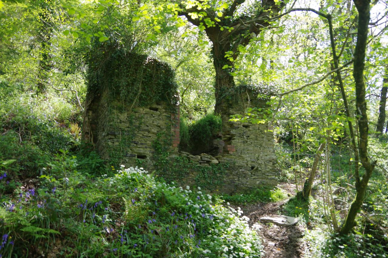
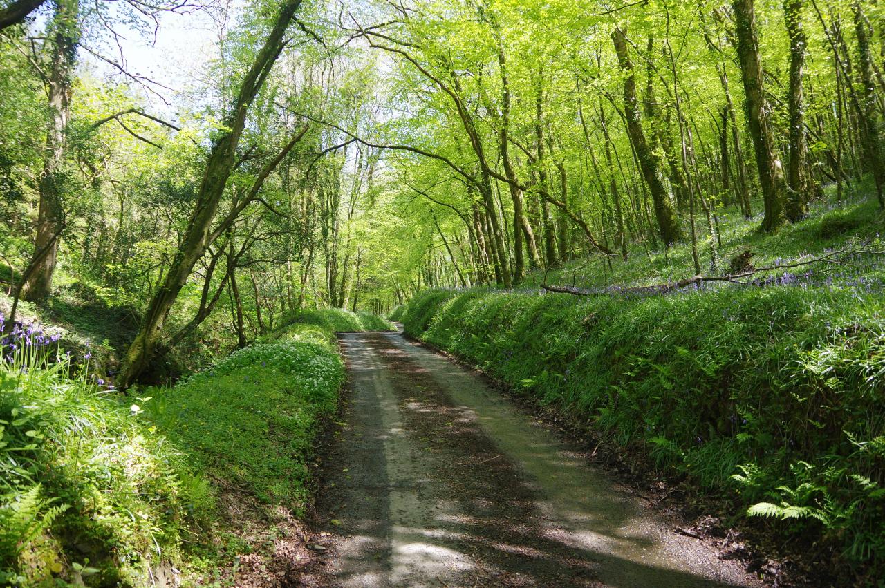
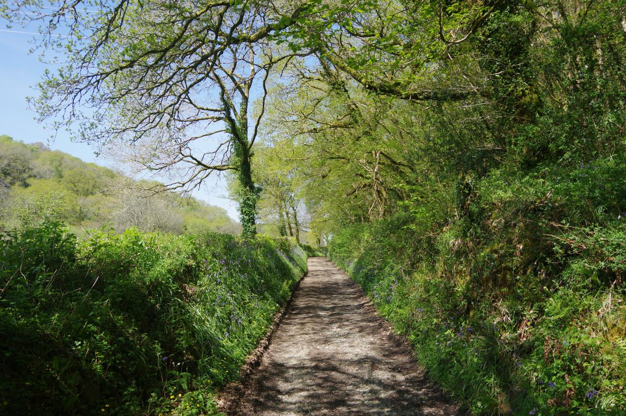
The Way bears right at the junction, signposted to Duloe, passing Trelawne Mill before making the same choice at a second junction and then at a third to reach Sowden's Bridge (picture 17). Immediately after crossing the bridge, the Way turns left over a stile to take a rough but fairly shady footpath alongside the river (picture 18), at times flanked by large patches of bluebells.
After almost two kilometres, beyond a lonely ruin (picture 19), the Way crosses a stile beside a wooden gate and joins a rutted vehicle track that continues up the valley. Another 500 metres on, the track reaches a small bridge across the river, but instead of crossing it, the Smugglers' Way turns away to ford a shallow stream and climbs to join a forestry track in Tremadart Wood (picture 20).
(21) Churchbridge
(22) Lane climbing from Churchbridge
(23) Forestry track above Herodsfoot
(24) Herodsfoot
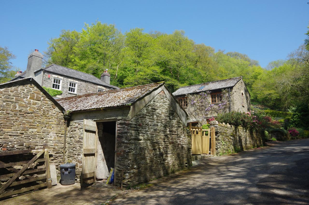
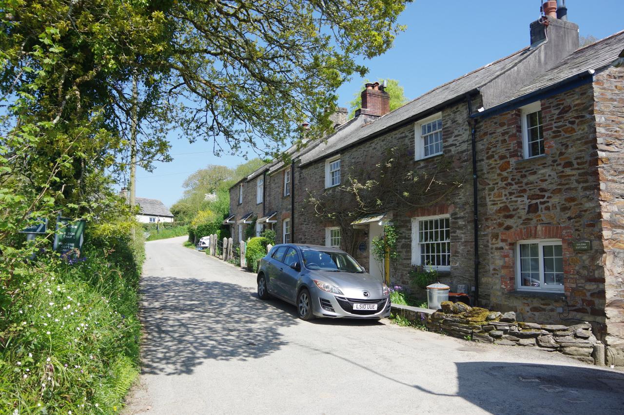
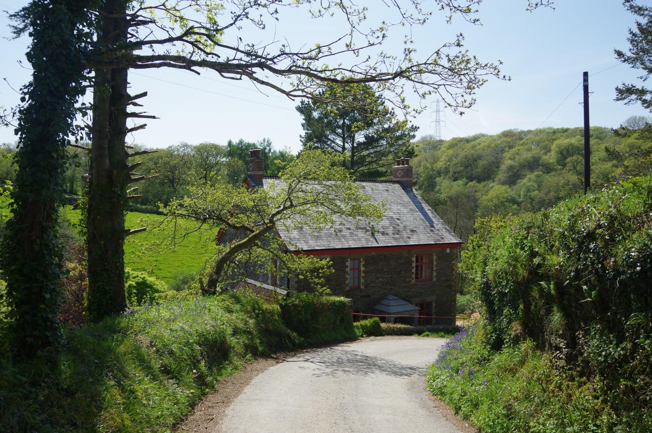
Turning left, the Way follows the forestry track through the wood, still paralleling the West Looe River, to reach an equestrian stile and a sharp left turn down a quiet lane. The lane soon forks and the Way bears right to the hamlet of Churchbridge (picture 21), where several mills were once powered by the West Looe River.
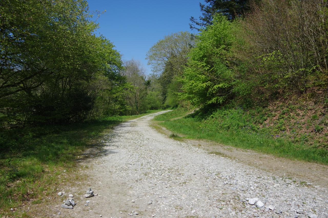
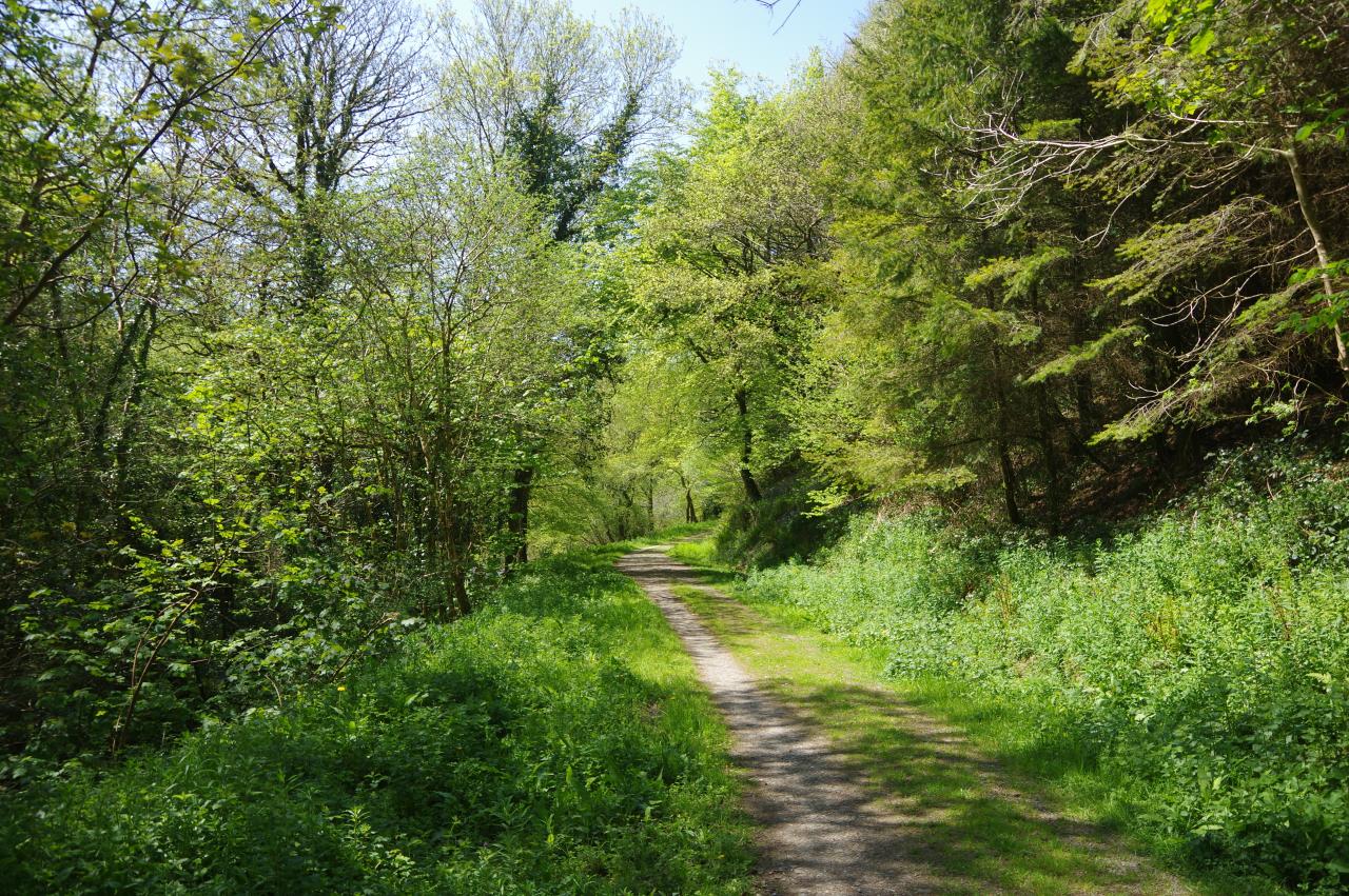
A second right turn has the Way climbing again, beside a culverted stream (picture 22), until another equestrian stile on the left take the route onto another forestry track (picture 23). This track once again parallels the West Looe River, though higher up the side of the valley this time.
After about 1600 metres, a signpost on the right points down a sunken path on the left that descends through woods, at times steeply, to join a track that goes ahead between cottages to reach a junction with Fore Street in the village of Herodsfoot. The Way turns right, passing a row of stone cottages (picture 24), then turns left at the next junction to climb past Millcoombe Farm.
(25) Path from Millcoombe Farm
(26) Track below Liggars Wood
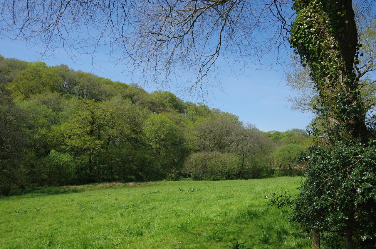
(27) West Looe Valley
(28) Scawn Mill
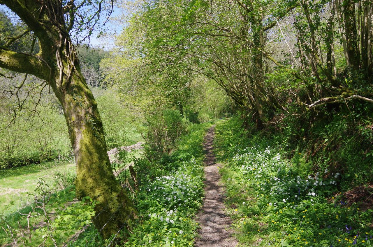
Just past the farm buildings, a footpath sign on the left indicates a narrow footpath that continues to climb gently along the right-hand side of the ever-narrowing West Looe Valley (picture 25). After emerging from the woods to cross a field, a stile leads to a broader track that continues to climb below Liggars Wood (picture 26) with the valley to the left (picture 27). Before long, the track merges into a lane at the hamlet of Scawn Mill (picture 28).
(29) Farmhouse
(30) Sunken lane
(31) Wayside cross by the B3254
(32) Boduel
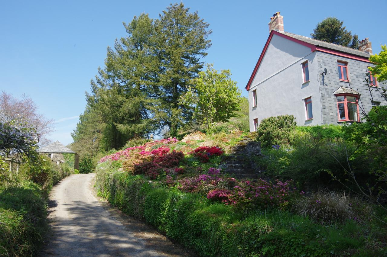
The Way takes the first turn on the right, climbing past an attractive little farmhouse (picture 29) and continues uphill on a sunken lane amongst a succession of farms, with occasional patches of bluebells on the banks (picture 30).
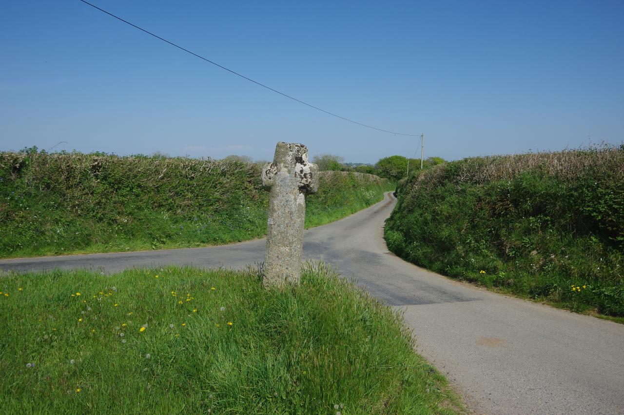
About 120 metres before the lane would reach the B3254, the Way turns left along a rutted and somewhat muddy track between fields. On reaching a junction of tracks in front of South Bosent Farm, the source of the West Looe River lies in woodland about 700 metres ahead, but the Way turns right to reach a crossroads with the B3254, marked by a Cornish wayside cross on a little triangular green opposite (picture 31).
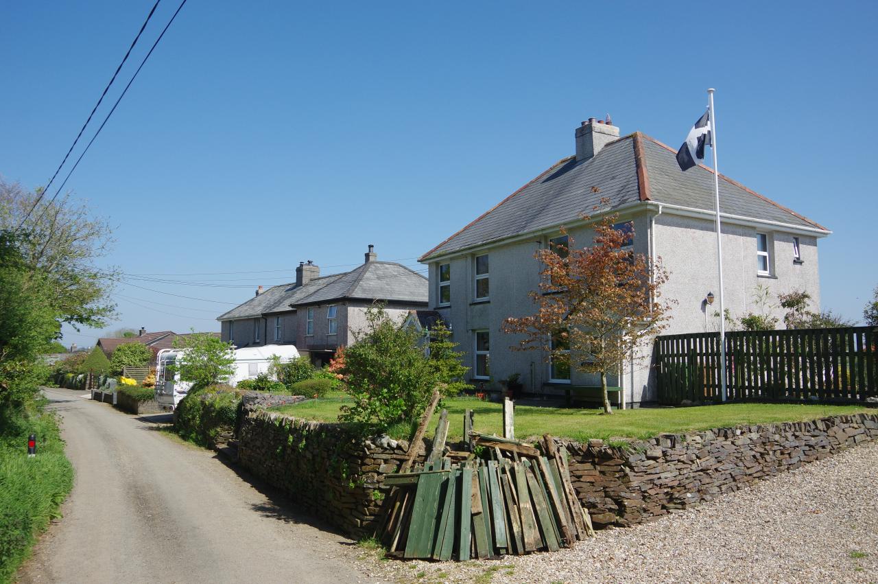
This is where the two alternative routes of the Smugglers' Way divide, to eventually reunite at Jamaica Inn in the centre of Bodmin Moor, the original route turning left along the B3254 and the newer alternative going through the crossroads towards Liskeard. I chose the latter, heading past the cross and along the lane, soon passing the hamlet of Boduel (picture 32).
(33) Moorswater Viaduct
(34) Coombe Junction Halt
(35) Millennium Cross near Liskeard Station
(36) Liskeard Station
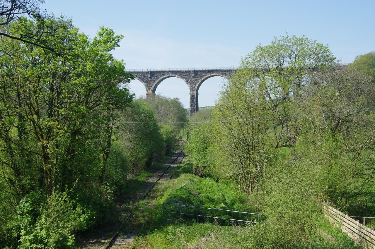
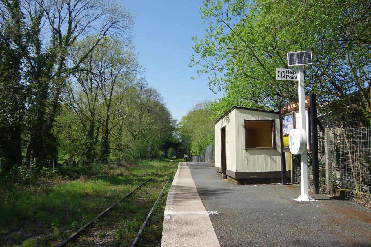
A little more than a kilometre beyond Boduel, the lane dips down into the East Looe Valley and crosses a stone road bridge. Up the valley to the left is the tall Moorswater Viaduct (picture 33), carrying the Great Western Mainline between Liskeard and Lostwithiel, while just to the right of the bridge is the single platform of Coombe Junction Halt (picture 34), a station on the picturesque Looe Valley Line.
This is officially Cornwall's least-used railway station, and the second least-used station in all of Britain. Only four services call here each day (except Sundays) and even then, it's unusual for anyone to get on or off. Passenger numbers sank as low as 26 in 2014 (and I accounted for two of those), but this unassuming little halt has gained online fame in recent years and that saw the number of passengers boarding or alighting here skyrocket to 204 in 2018.
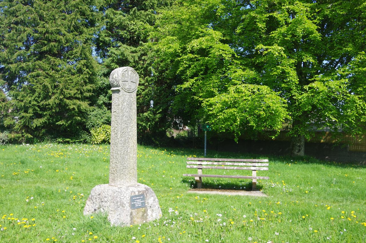
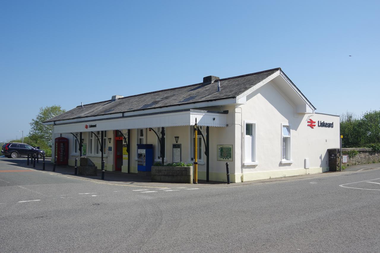
Having absorbed a little railway trivia, I continued up the lane, which climbs to join Turnpike Place on the edge of Liskeard. By the road is a Celtic cross placed to celebrate the millennium (picture 35) and just ahead the road crosses a bridge over the GWR mainline and the platforms of Liskeard Station to arrive at the main station building. I left the Smugglers' Way here, having walked 16.8km from Looe, and boarded the next train back to Looe for one last helping of fresh fish and chips.