THE SAXON SHORE WAY
Stage 9: Sandwich to Deal
Thursday, August 19th 2010
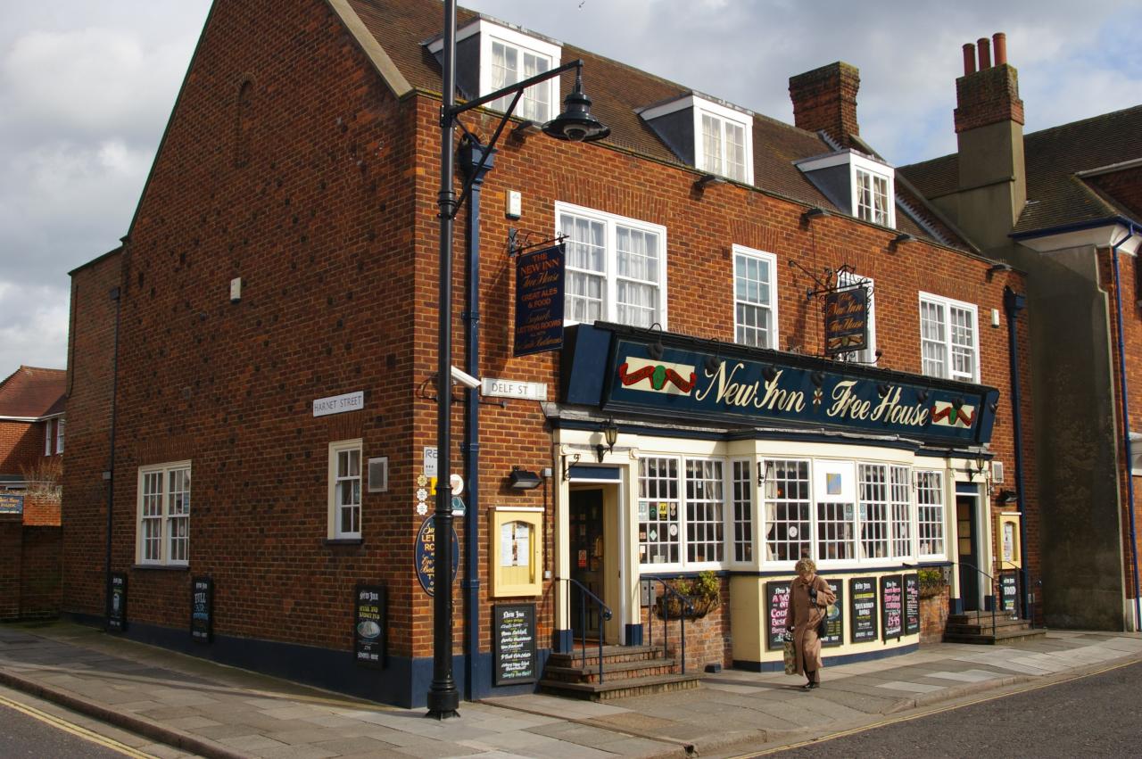
(1) The New Inn, Sandwich
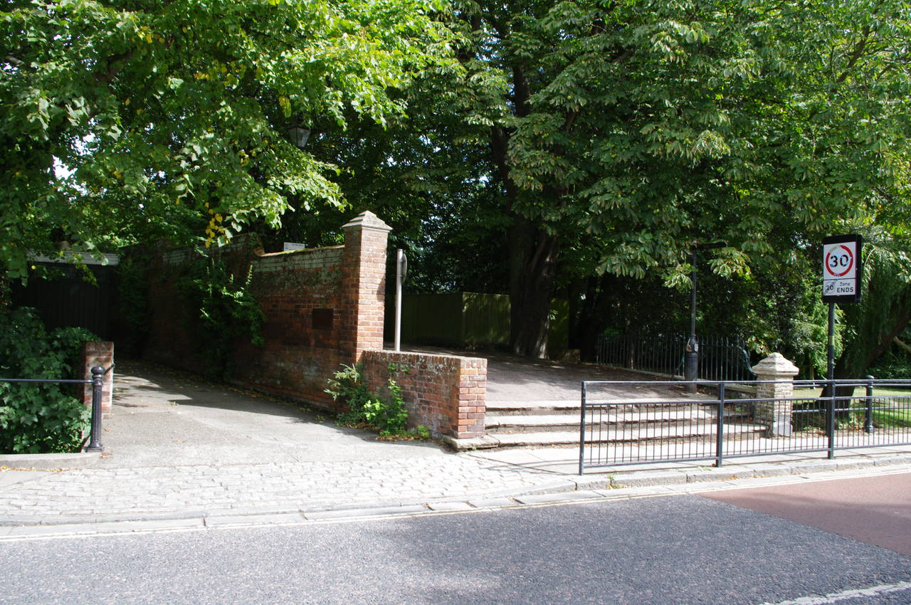
(2) Mill Wall, Sandwich
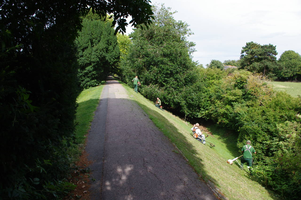
(3) Mill Wall, Sandwich
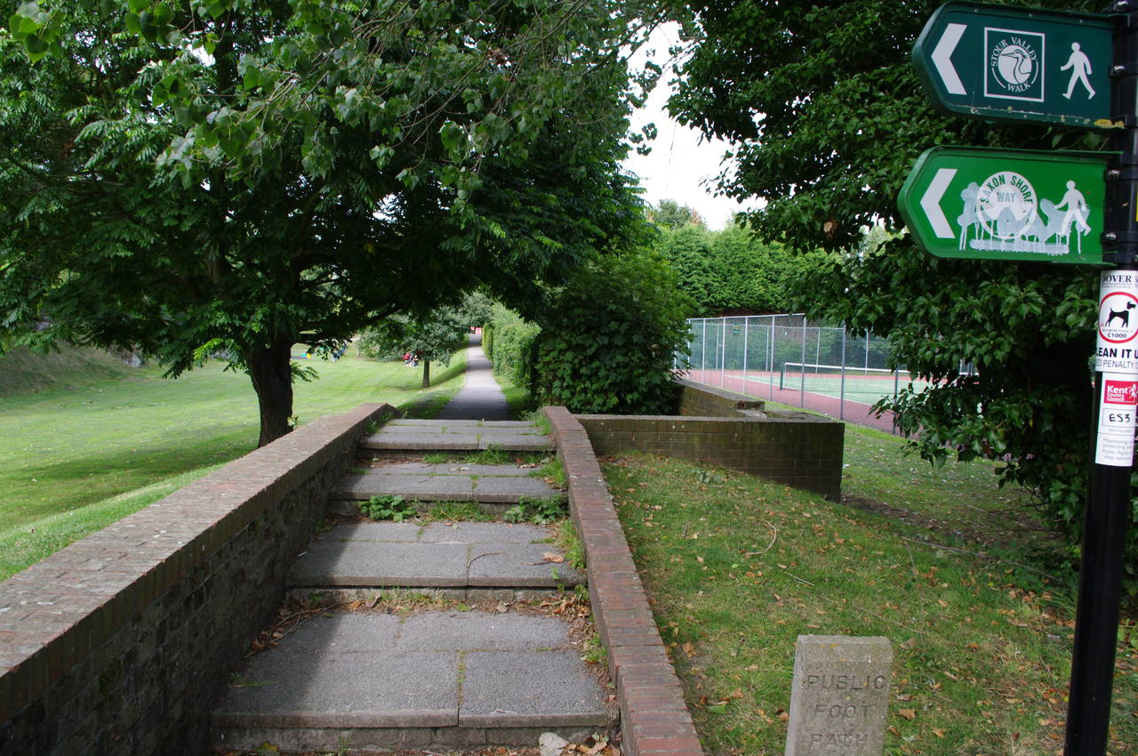
(4) Footpath, Sandwich
I walked this section of the Saxon Shore Way on the afternoon of Thursday, August 19th 2010. I had completed the short final section of Thanet Coast Path at Pegwell Bay Country Park the same morning, and had walked the rest of the way to Sandwich, where I enjoyed a nice pub lunch at the New Inn (picture 1), in the middle of town.
Earlier in the year I had walked the inland route from Sandwich to Deal along the old Roman Highway on a rather cold winter's day after spending a few hours exploring the ancient cobbled streets of Sandwich.
After lunch I made my way to the start of this stage of the Saxon Shore Way at Mill Wall (picture 2), where the Way follows a shady, raised footpath along the line Sandwich's old town wall. Part of the way along the Mill Wall, I passed a group of cheerful gardeners tending to the trees beside the path (picture 3). When the Mill Wall reaches the next road, the route turns right along the road for about ten metres before turning left along another footpath (picture 4).
(5) Great Stour River, Sandwich
(6) Footbridge next to Great Stour
(7) Royal St George's Golf Course
(8) Royal St George's Golf Course
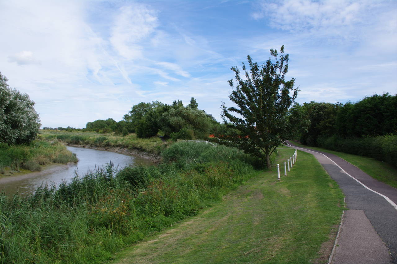
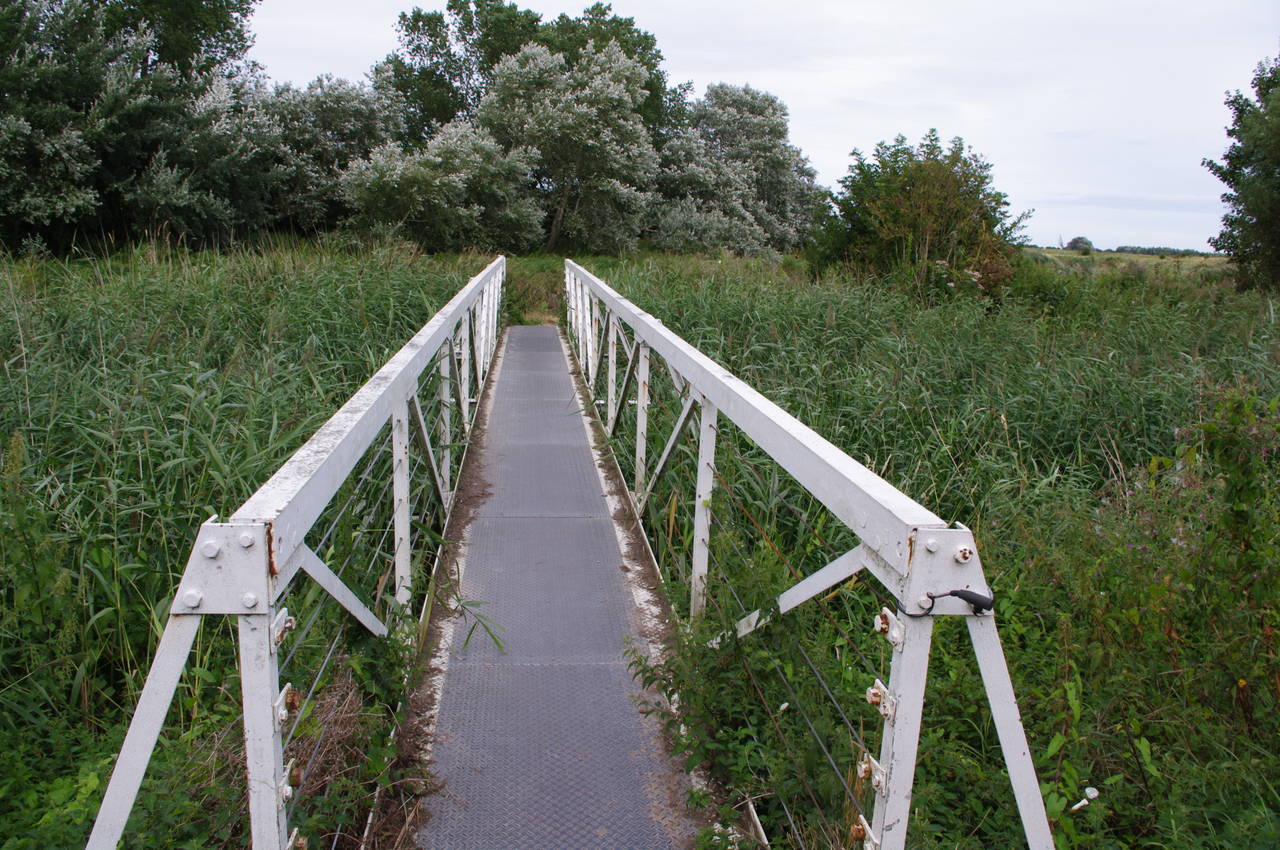
The footpath passes a tennis court on the right and a playground further up on the left before reaching a T-junction at a cycle path next to the Great Stour River (picture 5). The route turns right onto the cycle path, but less than a hundred metres later it leaves the cycle path again, crossing a white bridge (picture 6) over the marshes (but not over the river) to a narrow tarmac footpath.
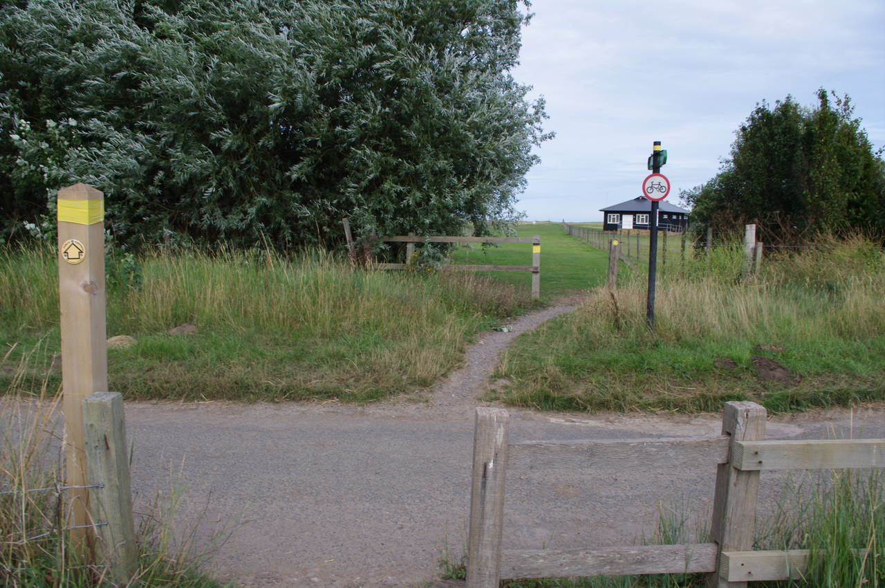
The tarmac path soon forks, the Saxon Shore Way taking the right branch, away from the Great Stour, and the Stour Valley Walk heading left along the river. The Way crosses a wheat field before reaching another white footbridge over The New Cut, a creek that flows into the Great Stour. Across a small, overgrown field, the path crosses a minor road (picture 7) and heads across the links of the Royal St George's Golf Club, regular host of the British Open.
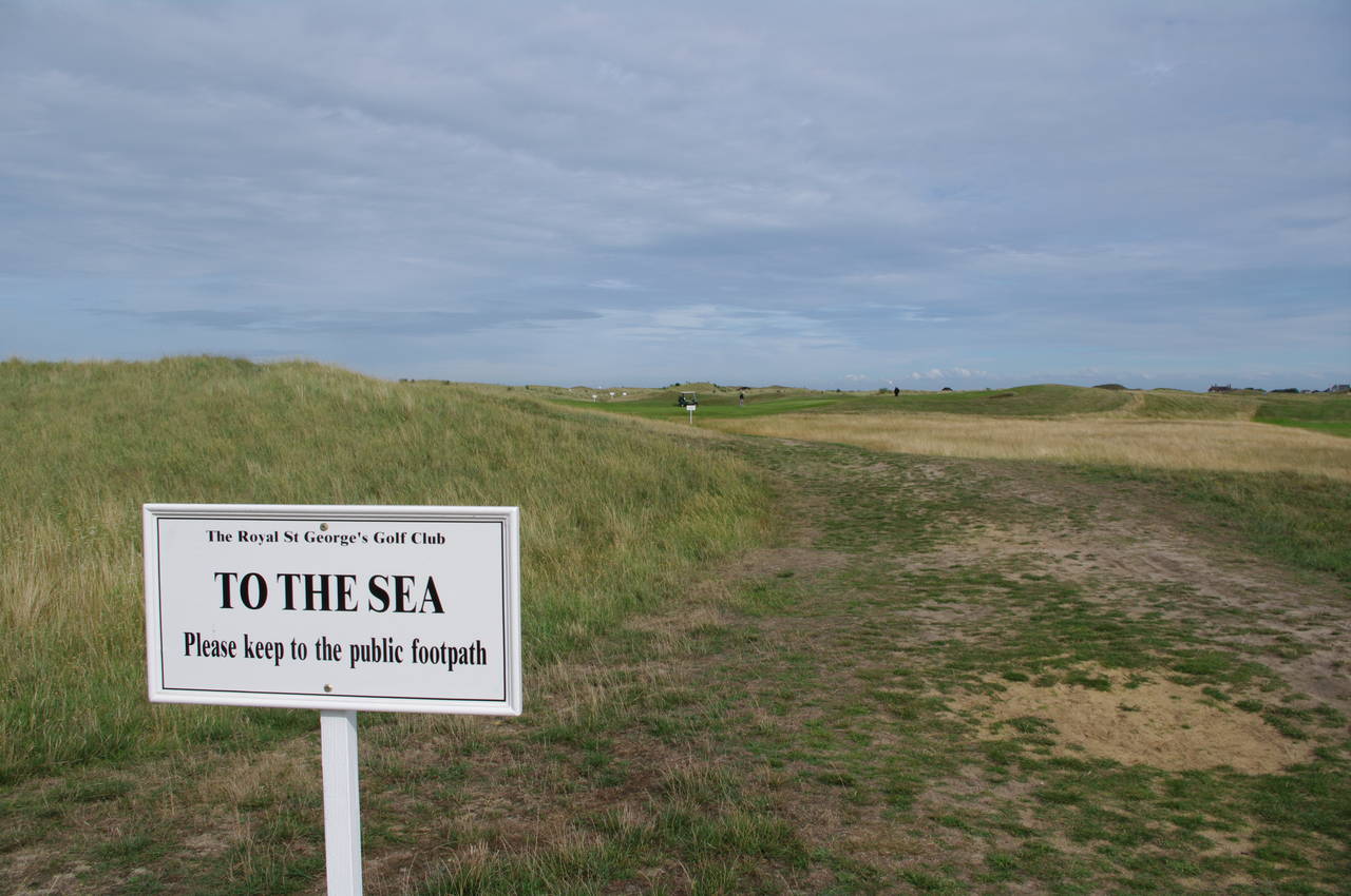
The grassy path across the golf course to the sea is well sign-posted (picture 8), though one should be on the lookout for stray golf carts and golf balls. At the far side of the golf course, the path reaches Princes Drive, a road that runs along the edge of Sandwich Bay.
(9) View to Ramsgate from Sandwich Bay
(10) Sandwich Bay Estate
(11) Royal Cinque Ports Golf Course
(12) Royal Cinque Ports Clubhouse
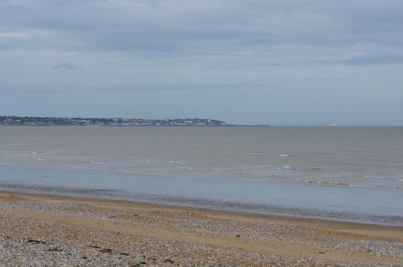
From the shingle beach next to the road, I could see all the way back across the water to Ramsgate (picture 9), where I had started the day. While I watched, a large car ferry eased its way out of Ramsgate Harbour and began its slow journey across to Ostend in Belgium.
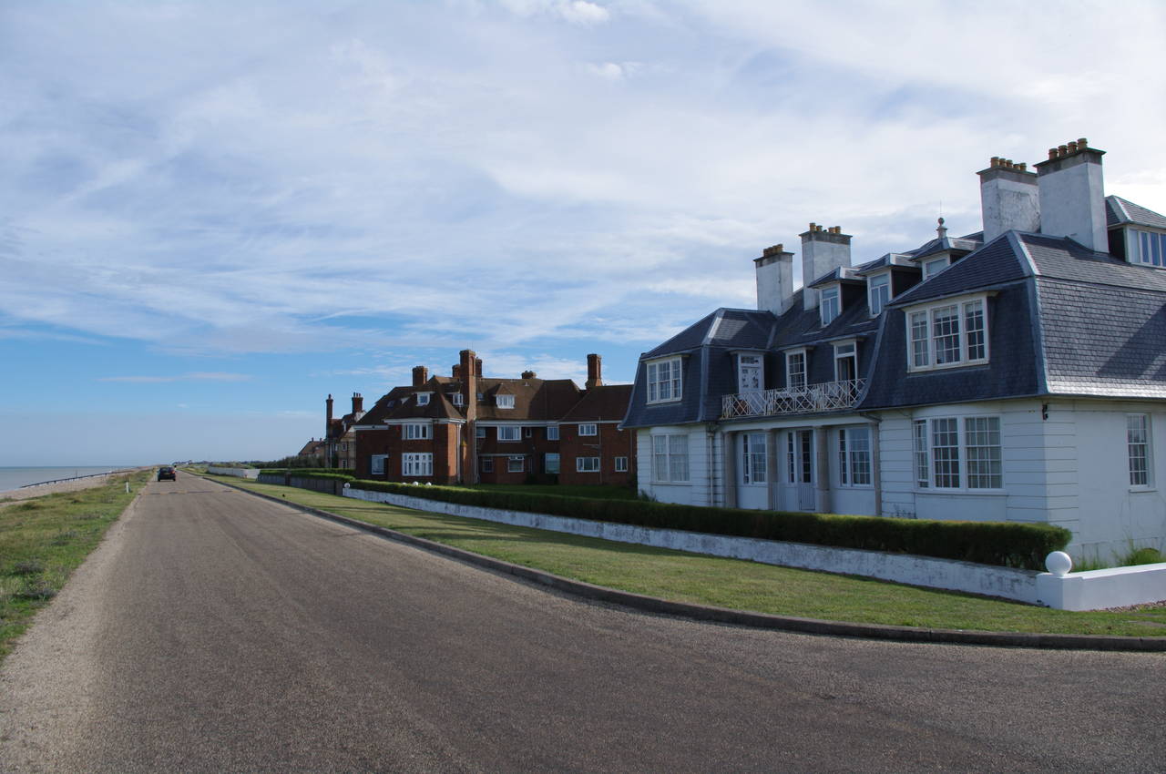
The Saxon Shore Way follows the road south between the golf course and the beach, to the Sandwich Bay Estate (picture 10), which apparently imposes a toll on visitors using the road through the estate to the beach.
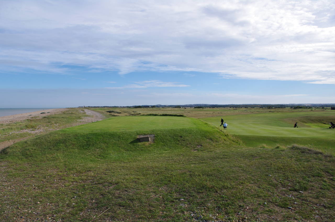
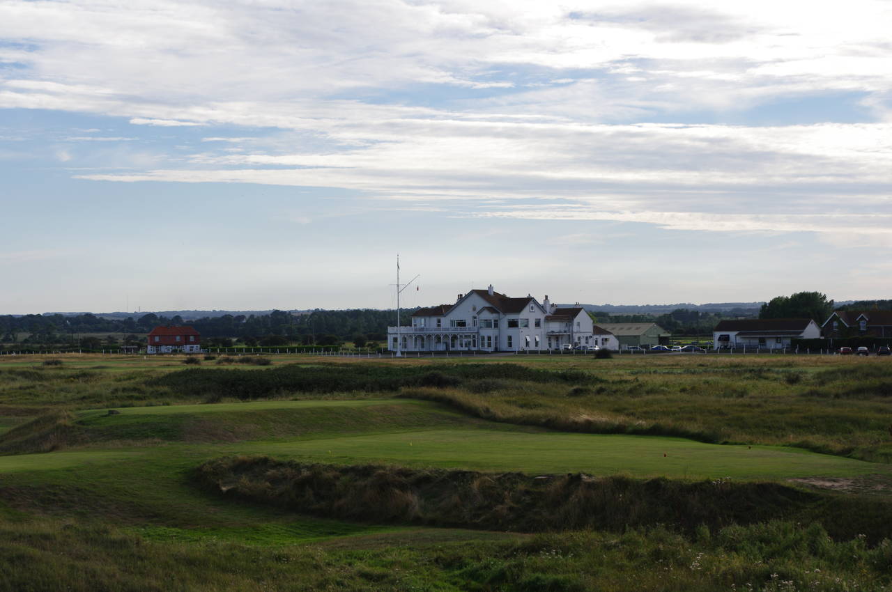
Beyond the fancy houses of the estate, the road passes through a metal gate and gives way to a gravel path above the beach, along the edge of the Royal Cinque Ports Golf Course. This path runs all the way down to the northern fringe of the town of Deal about three kilometres away. On the way, the path passes close by the 11th tee (picture 11) and a little further on the clubhouse is visible in the distance (picture 12), sitting next to the old Roman Highway.
(13) Deal seafront and pier
(14) Rowers near Deal Lookout Station
(15) Deal Pier
(16) Deal Pier
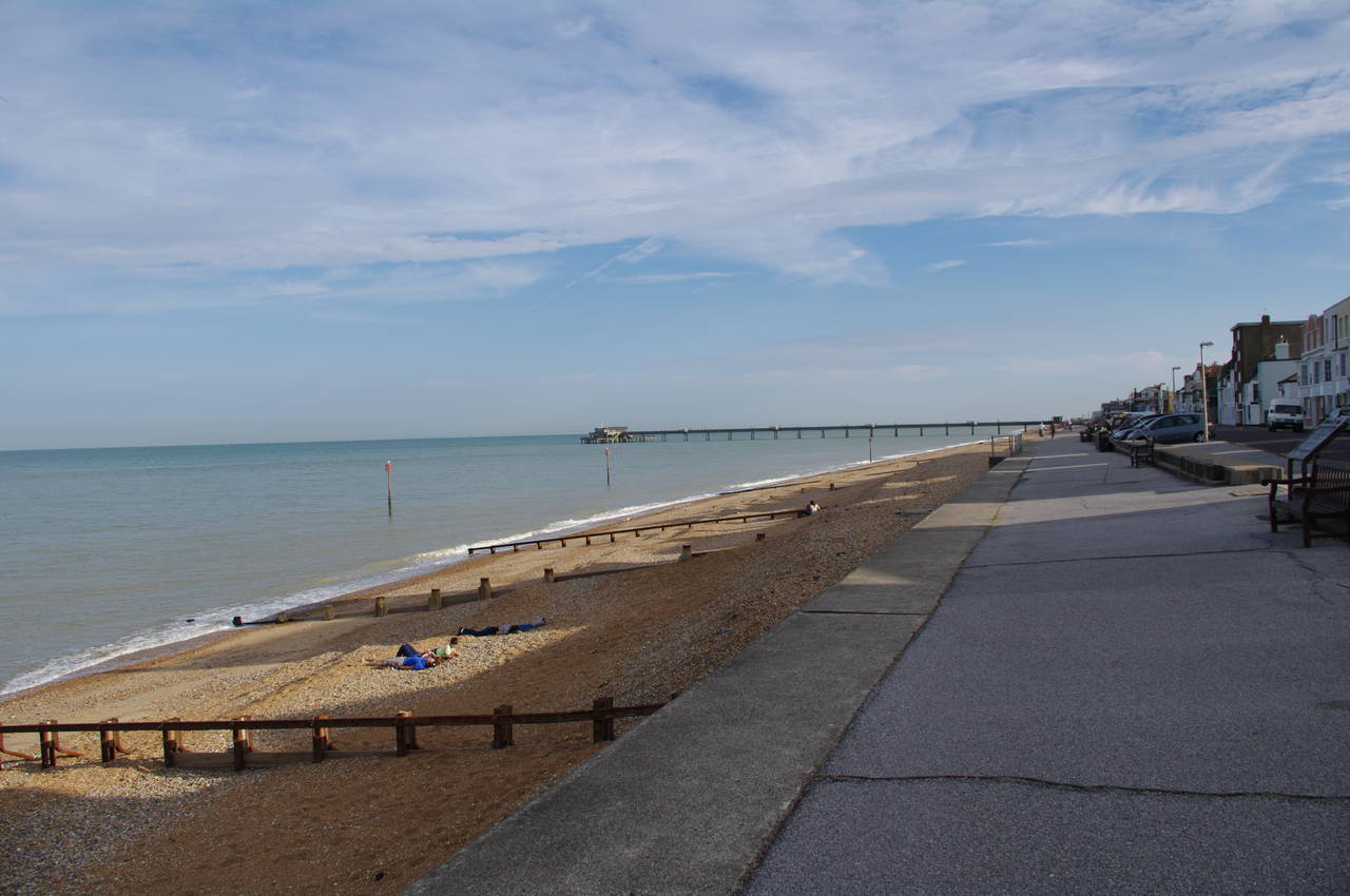
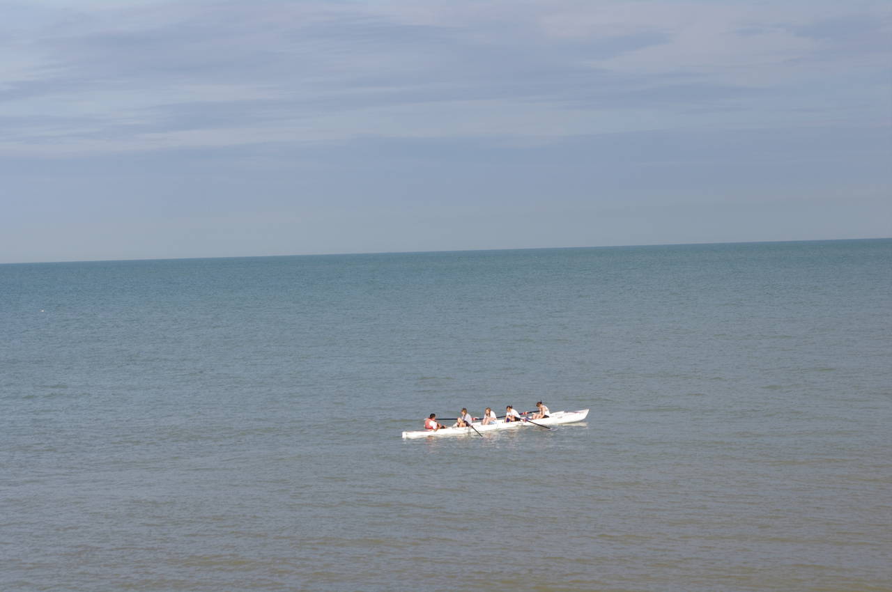
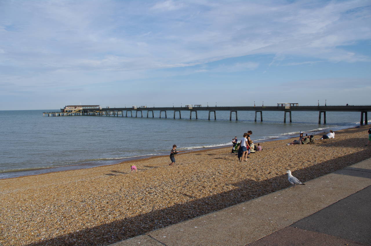
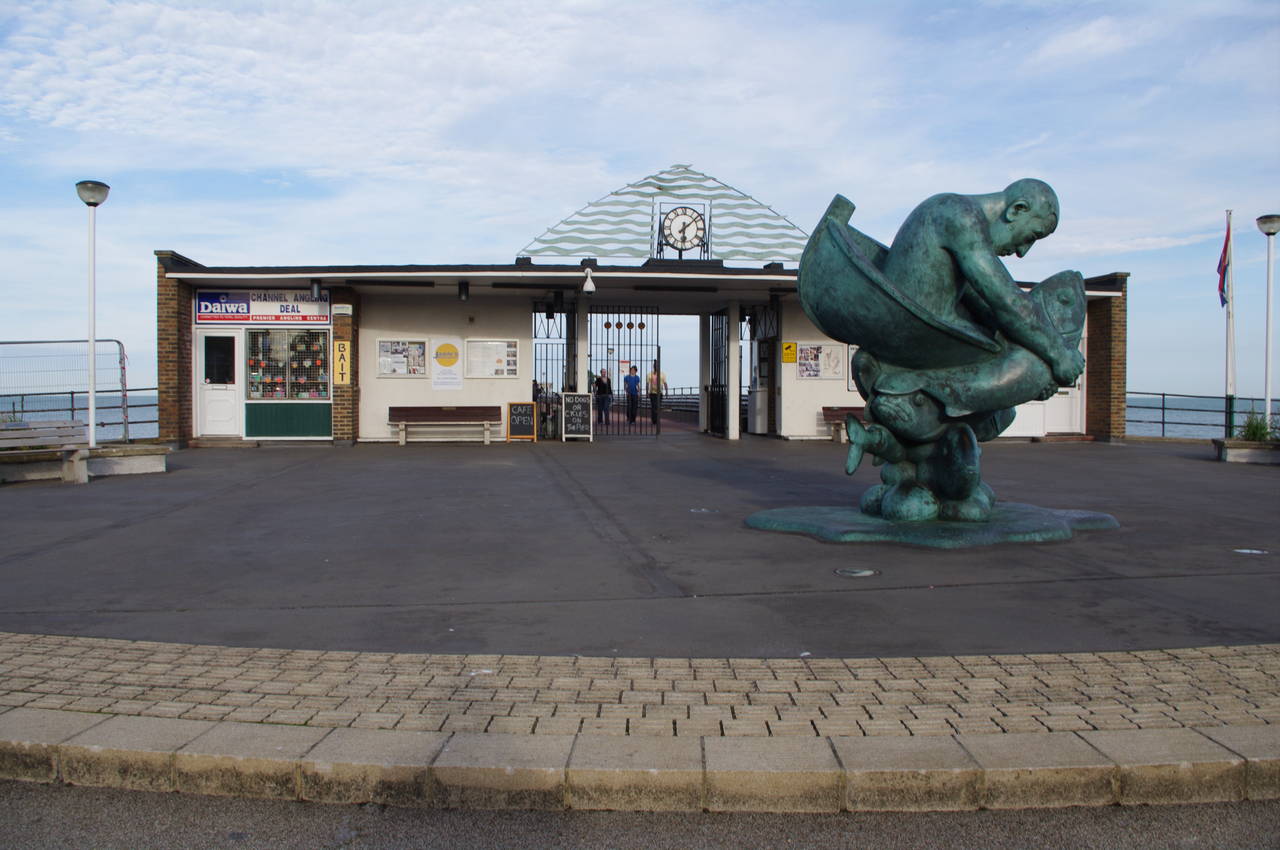
At the northern edge of Deal, the Saxon Shore Way joins the seafront promenade, which it follows for the one-and-a-half kilometres to the Deal Pier (picture 13). About half way along, opposite a Lookout Station, I saw a group of rowers about fifty metres offshore rowing their boat towards the pier (picture 14). As I got closer to the pier, there were quite a few families enjoying the late afternoon sun on the beach (picture 15). At the end of the pier stands a strange sculpture (picture 16).
Reaching the pier, I left the Saxon Shore Way for the day, having covered around ten kilometres, and headed for the line of beachfront pubs next to the pier on Beach Street. After enjoying some traditional English fish and chips and a pint of Shepherd Neame's Master Brew at the King's Head (where I had spent a night the previous winter), I set off on the short walk away from the beach to Deal Station, where I caught the train just before dusk.