THE SAXON SHORE WAY
Stage 10: Deal to Dover
Saturday, February 27th 2010
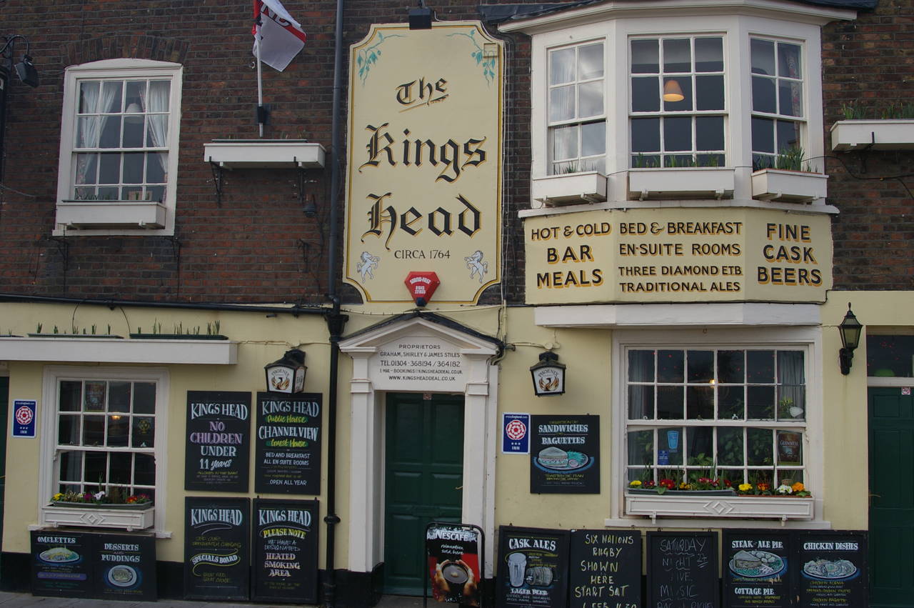
(1) The King's Head, Deal
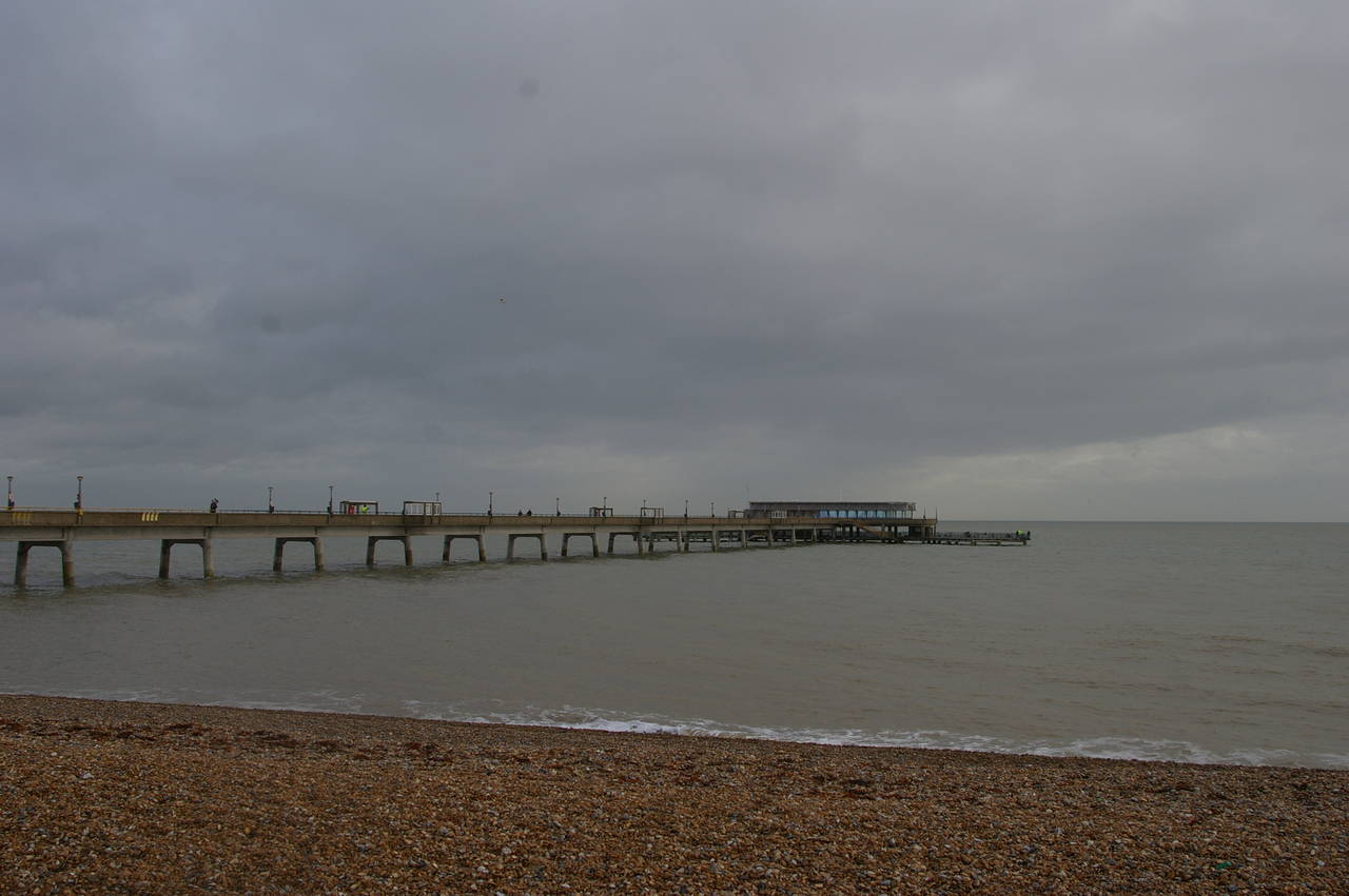
(2) Deal Pier
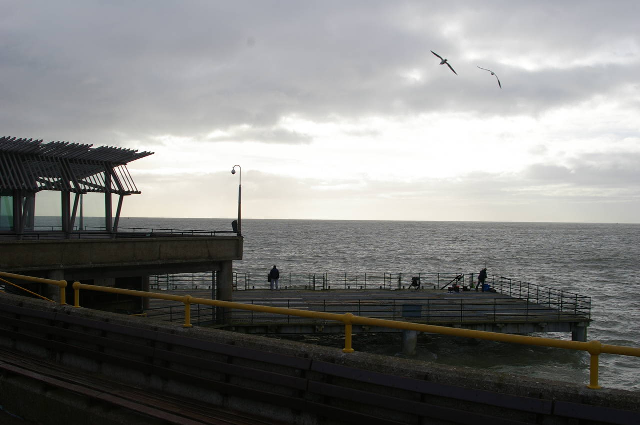
(3) Deal Pier
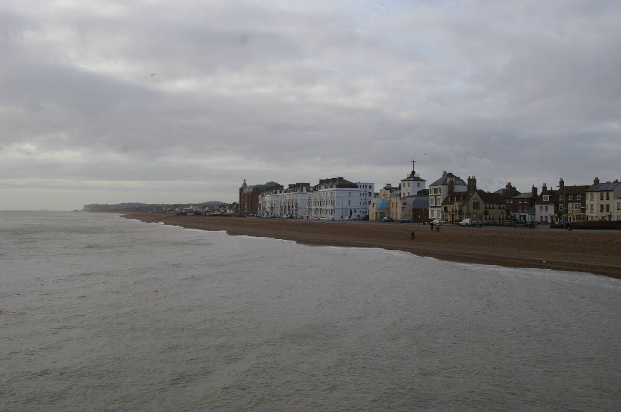
(4) Looking south to Walmer and beyond
I walked this section of the Saxon Shore Way on Saturday, February 27th 2010. After a hearty breakfast in the bar of the beach-side King's Head pub, where I had spent a very comfortable night, I ventured outside just after 8AM to find that the calm sea was blanketed in thick cloud.
Before heading off on the Saxon Shore Way, I went for a walk along Deal Pier (picture 2), Opened in 1957, the 311 metre long pier is the only fully intact pier left in Kent and the only pier in England to be built after World War II. Despite the cold, gloomy weather, there were a few dozen people already on the pier. The end of the pier houses a newly-built restaurant, and on either side are steps leading down to two large platforms from which a couple of anglers were trying their luck (picture 3). From the head of the pier, there are good views along the coastline, both north along Deal's long seafront and south towards Deal Castle and Walmer (picture 4).
(5) Deal Pier
(6) Time Ball Tower Museum, Deal
(7) Deal Castle
(8) Deal Memorial Bandstand
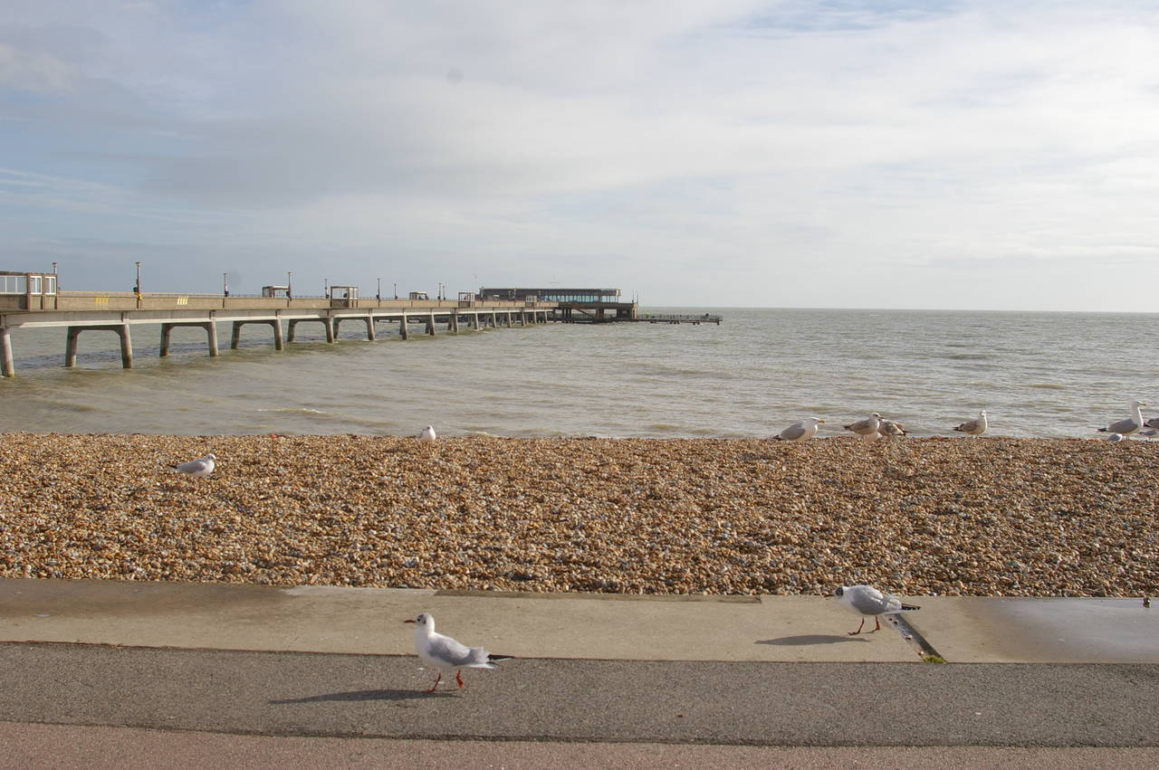
By the time I had completed a brief detour into the middle of town to buy some supplies for the walk, the sun had come out over the English Channel and a large number of sea birds had appeared on the beach (picture 5). The time difference between pictures 2 and 5 was just 54 minutes.
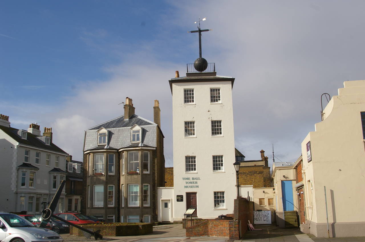
From Deal Pier, the Saxon Shore Way heads south past the line of pubs on Beach Street and past the Time Ball Tower Museum (picture 6). The ball on top of the tower rises and falls at 1PM every day. In days gone by, this provided a way for passing ships to set their clocks accurately.
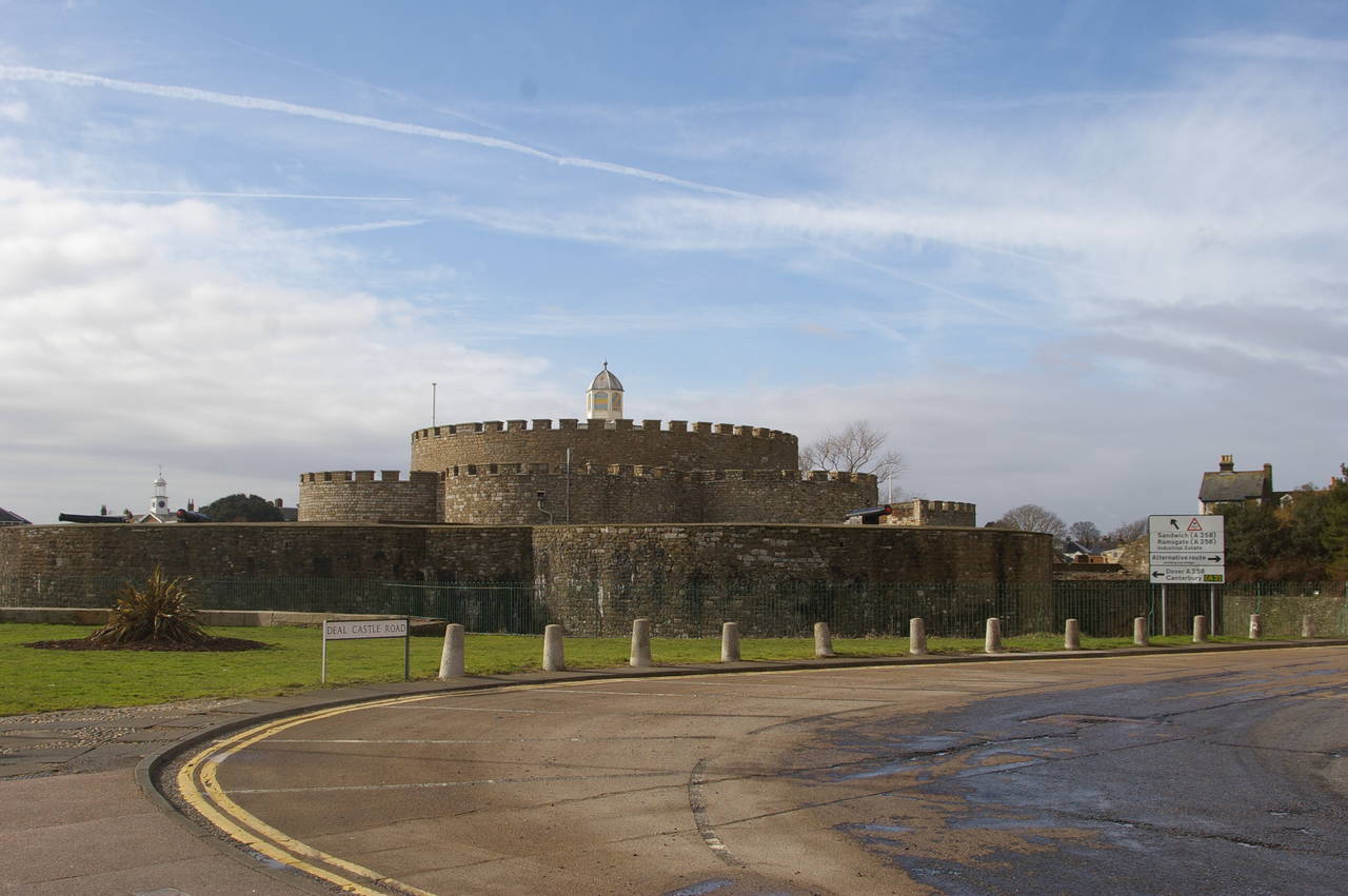
On the beach just beyond the Time Ball Tower, a number of boats belonging to Deal's small fishing fleet were drawn up on the shingle beach. A short way further along the path the route passes Deal Castle (picture 7) -- part of Henry VIII's Channel defences -- constructed in the shape of a tudor rose.
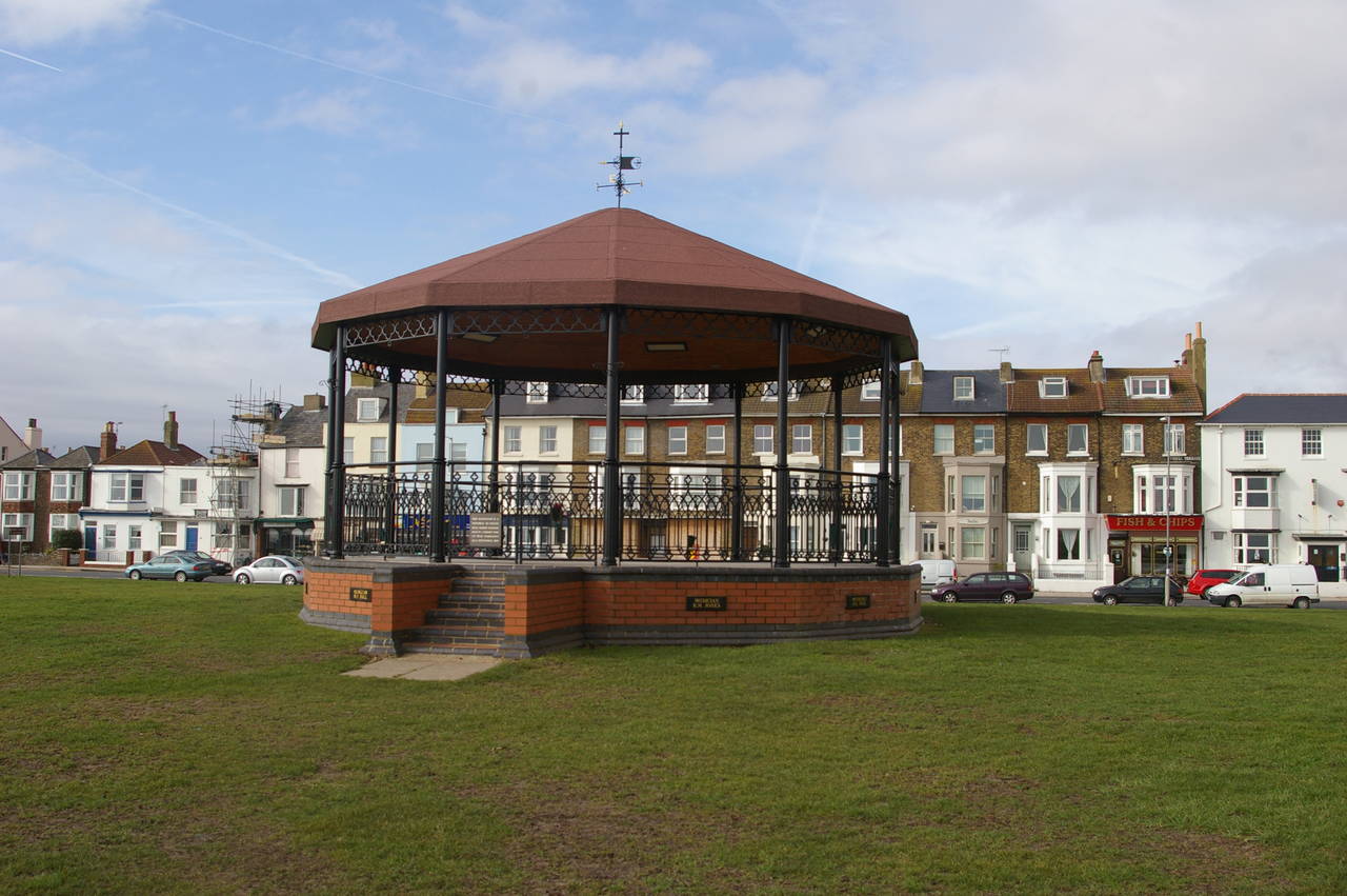
The beachside road heads inland around the castle, but the route of the Saxon Shore Way continues straight ahead along the tarmac beachside path, with a nice grassy area next to the path. As the path continues south from Deal to Walmer, it passes a Memorial Bandstand (picture 8), built in memory of eleven band members of the Royal Marines School of Music, who were killed by an IRA bomb on September 22nd, 1989.
(9) Walmer Lifeboat Station

(10) Wellington Parade, Walmer
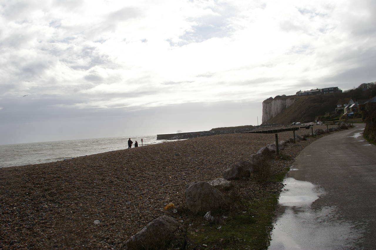
(11) Kingsdown Beach
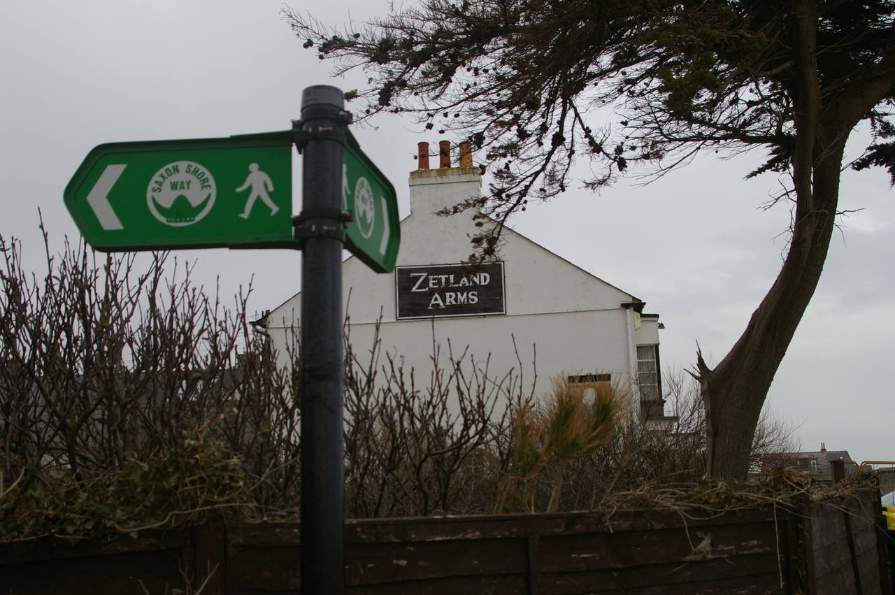
(12) The Zetland Arms, Kingsdown
As the route follows the beach in front of the town of Walmer, originally separate from Deal but now part of the one continuous urban area, it passes the Walmer Lifeboat Station, which looks rather church-like, particularly as it sits in front of a real church (picture 9). By this point the beach is flatter and much wider than at Deal, but is also quite overgrown in places.
A few minutes walk further, the path joins the rutted Wellington Parade, with a row of houses opposite the beach. Here another band of thick clouds passed overhead and it started raining. While I was fishing my wet-weather gear out of my backpack a couple of ladies jogged by, seemingly undeterred by the sudden shower (picture 10).
The rain was short-lived, however, and by the time I reached the row of huts at Kingsdown (picture 11) about ten minutes later, it had stopped completely. At the far end of Kingsdown the path passes the Zetland Arms pub (picture 12) and then turns inland to join Undercliffe Road, which soon heads back to the coast at Oldstairs Bay.
(13) Oldstairs Bay
(14) View to Kingsdown and Deal Pier
(15) Bockhill Farm
(16) Dover Patrol Memorial
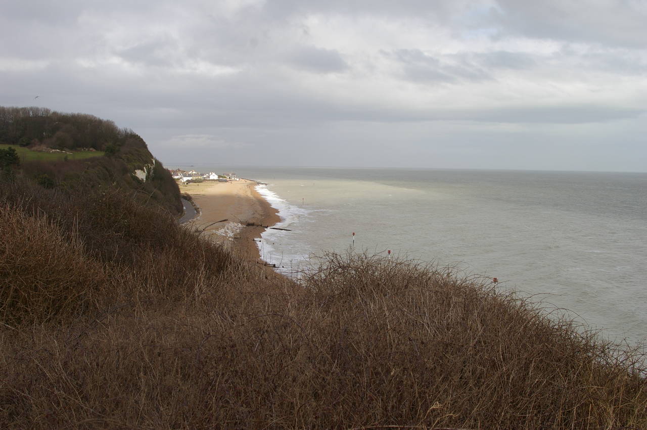
At the far end of Oldstairs Bay, the famous White Cliffs of Dover begin to rise above the English Channel (picture 13). A flight of steps climbs up to the top of the cliff, where there is a superb view back over Kingsdown and Deal Pier (picture 14). Using my binoculars, I could also make out the low cliffs of Ramsgate, almost twenty kilometres away.
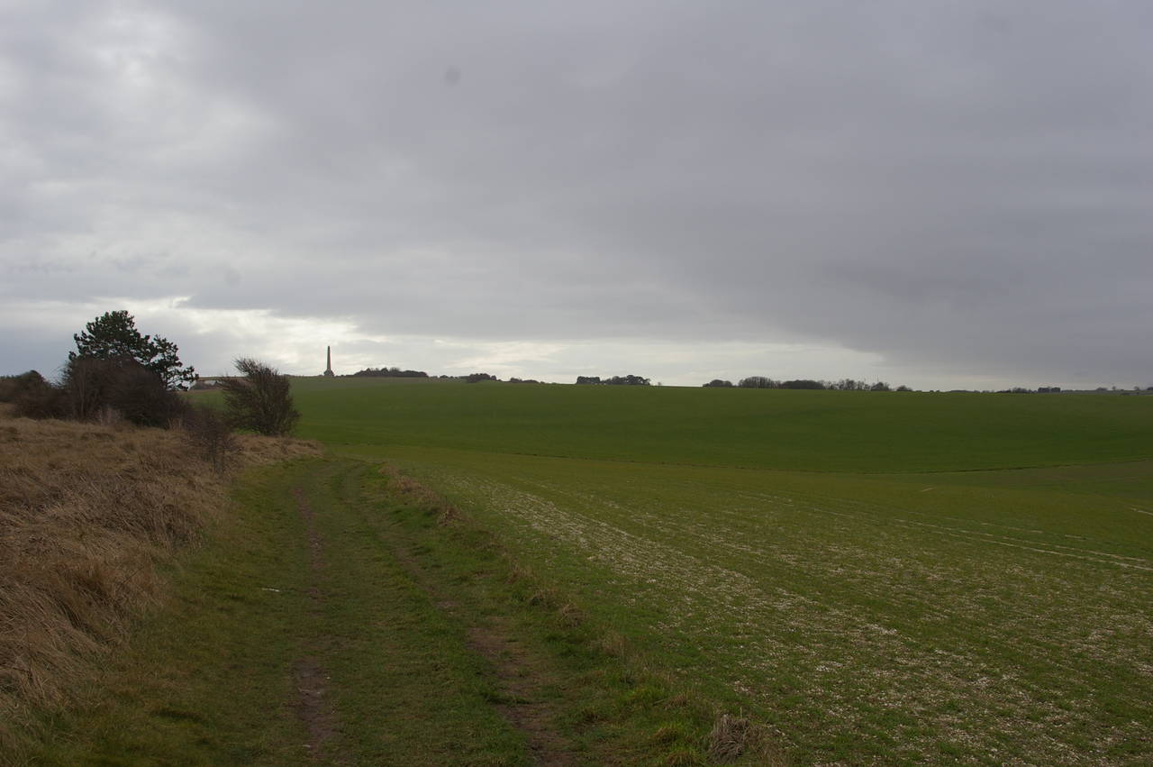
The grassy path runs along a few metres behind the cliff edge with the Walmer & Kingsdown Golf Course off to the right. The coast here gradually curves to the right and the path follows the clifftops across the large, empty fields of the National Trust's Bockhill Farm, heading for the tall needle of the Dover Patrol Memorial on the skyline ahead (picture 15).
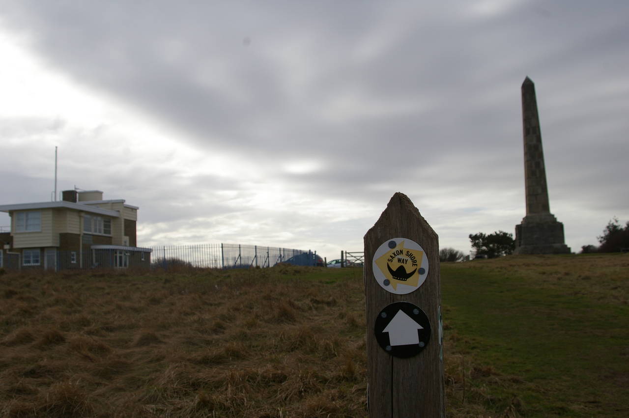
The 25 metre high obelisk of the Dover Patrol Memorial (picture 16) stands on the cliff top in memory of those members of the Dover Patrol and the royal and merchant navies lost in the two world wars.
(17) St. Margaret's Bay
(18) Ferry passing St. Margaret's Bay
(19) South Foreland Lighthouse
(20) First view of Dover Harbour
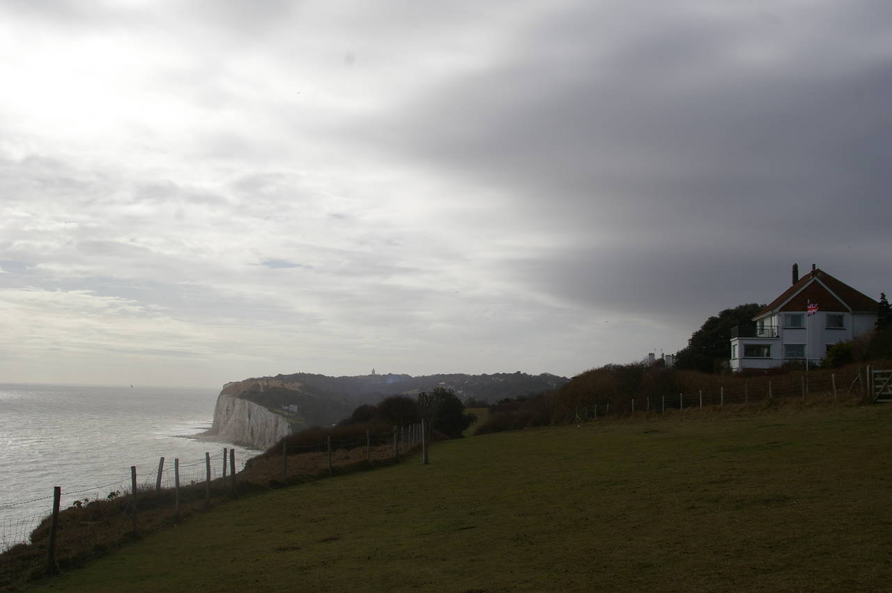
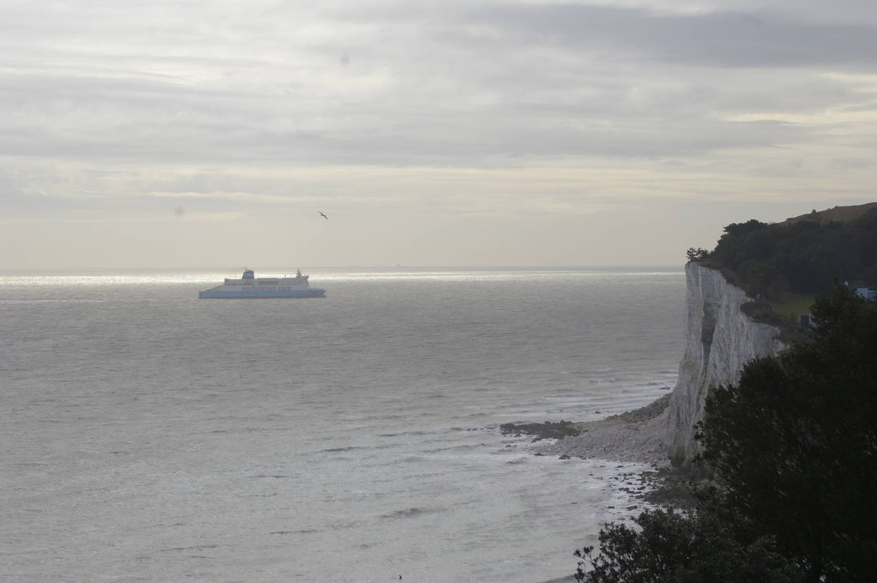
Beyond the memorial, the path begins to descend towards St. Margaret's Bay (picture 17). As I got a little nearer to the bay, I watched a Norfolk Line ferry appear from behind the cliffs and sail out into the English Channel towards France (picture 18).
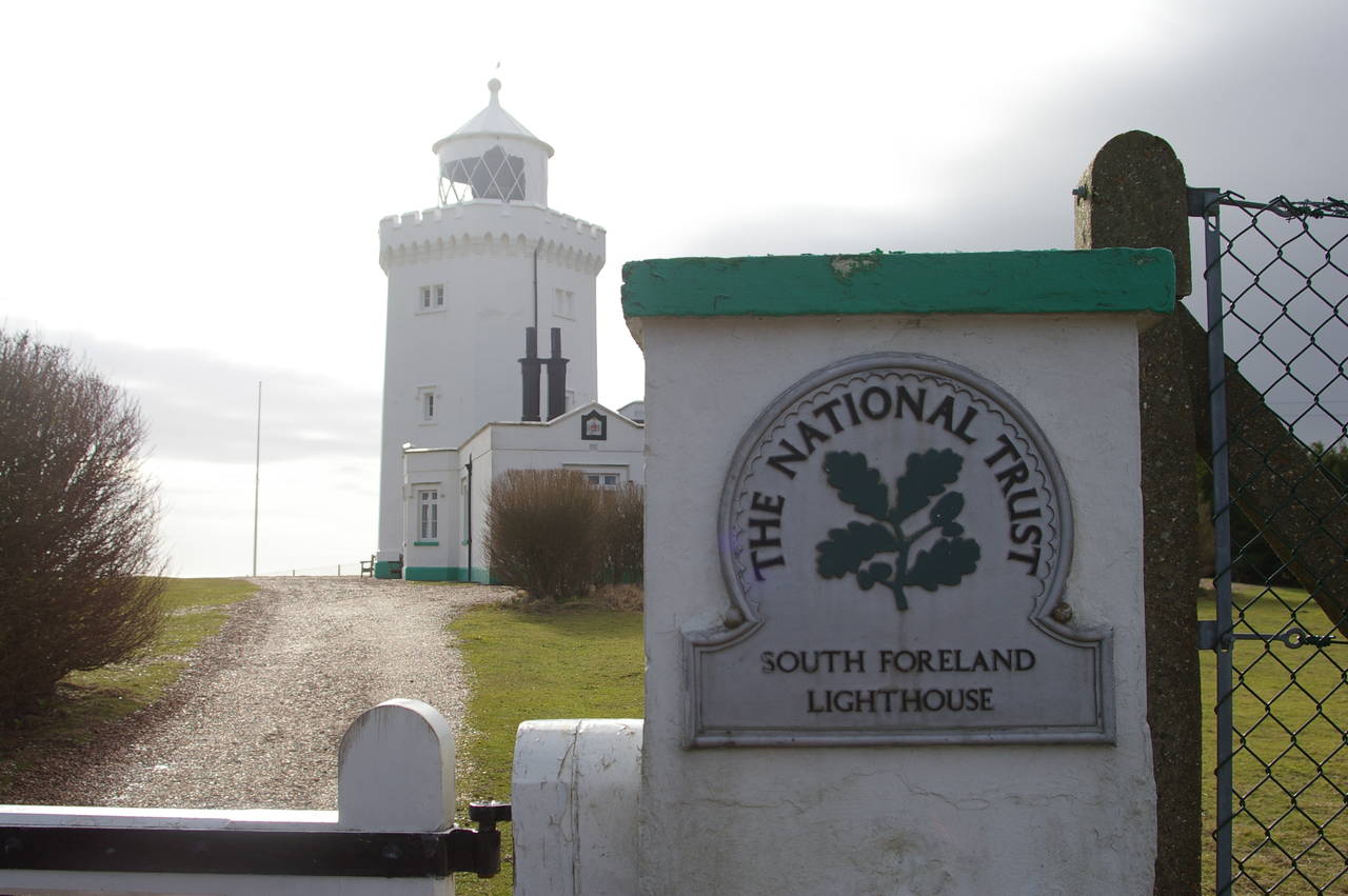
The path descends a set of steep concrete steps to the car park at St. Margaret's Bay, then climbs the steep road and then along a track to get back to the cliff tops on the other side of the bay. The path continues to climb for a little while, heading briefly inland before skirting around the seaward side of the South Foreland Lighthouse (picture 19).
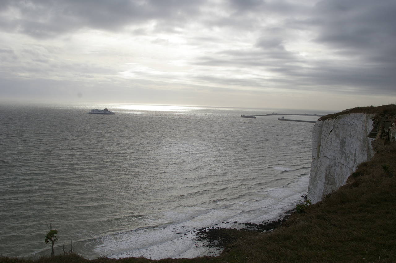
The Saxon Shore Way continues to follow the clifftops and before long the outer walls of Dover Harbour begin to come into view (picture 20), with a regular stream of ferries and other boats arriving and leaving the harbour. Even though the harbour was still more than two kilometres away, the noise of the machinery was already clearly audible.
(21) Langdon Hole and Dover Harbour
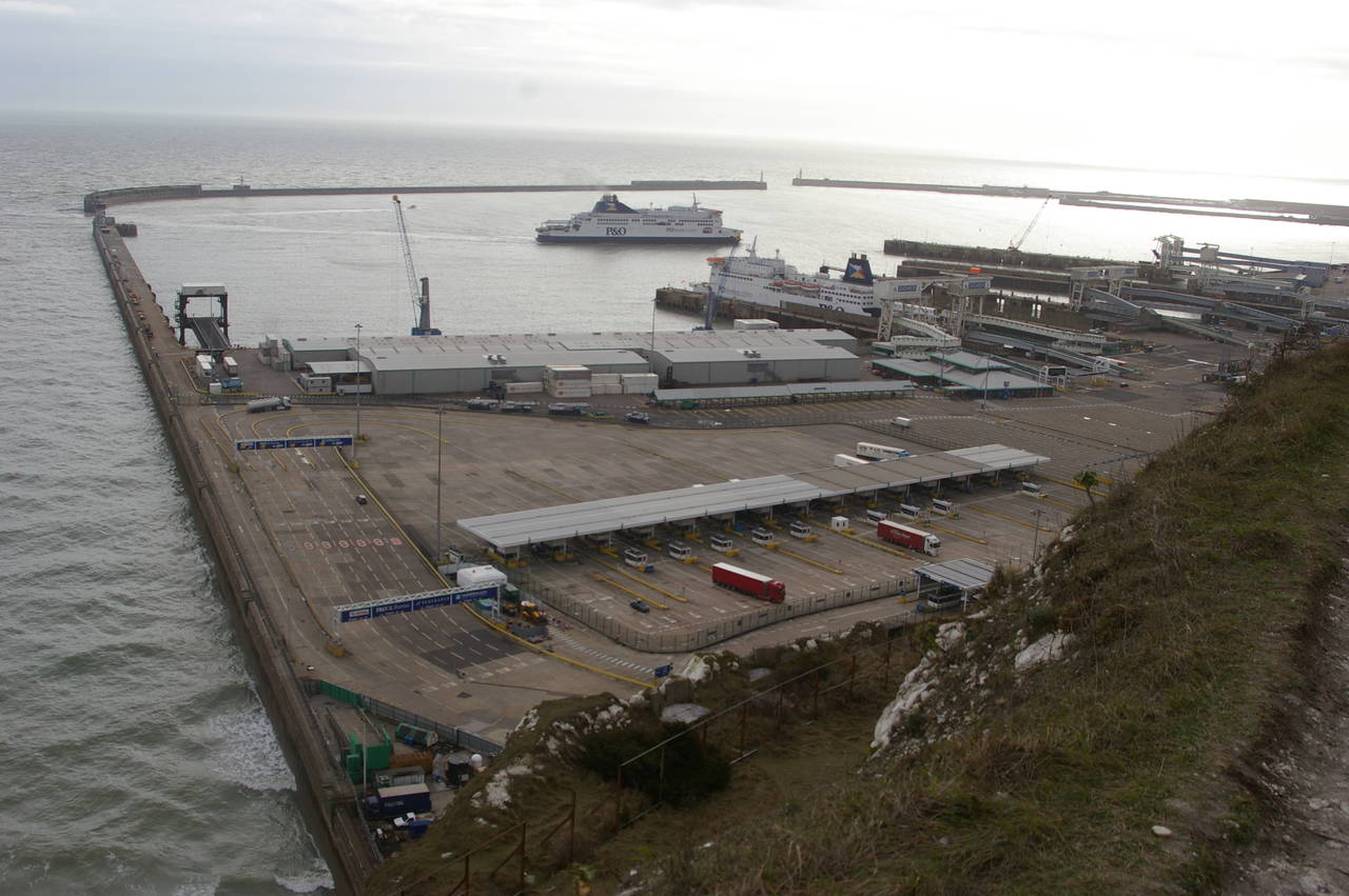
(22) Eastern Docks, Dover
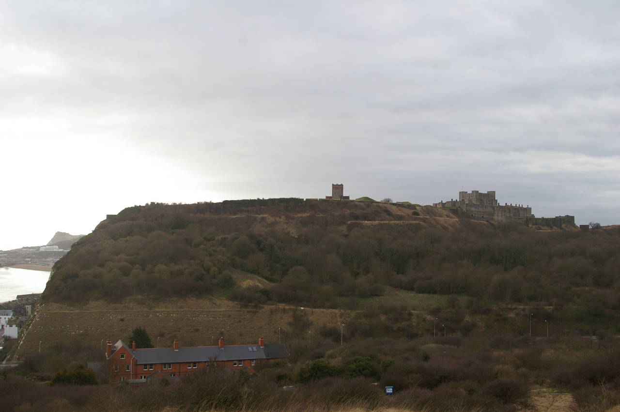
(23) Dover Castle
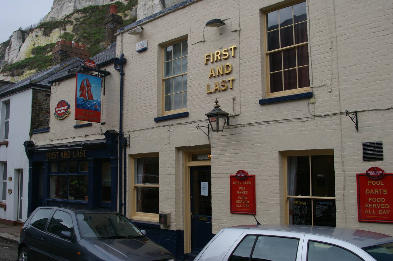
(24) The First and Last, Dover
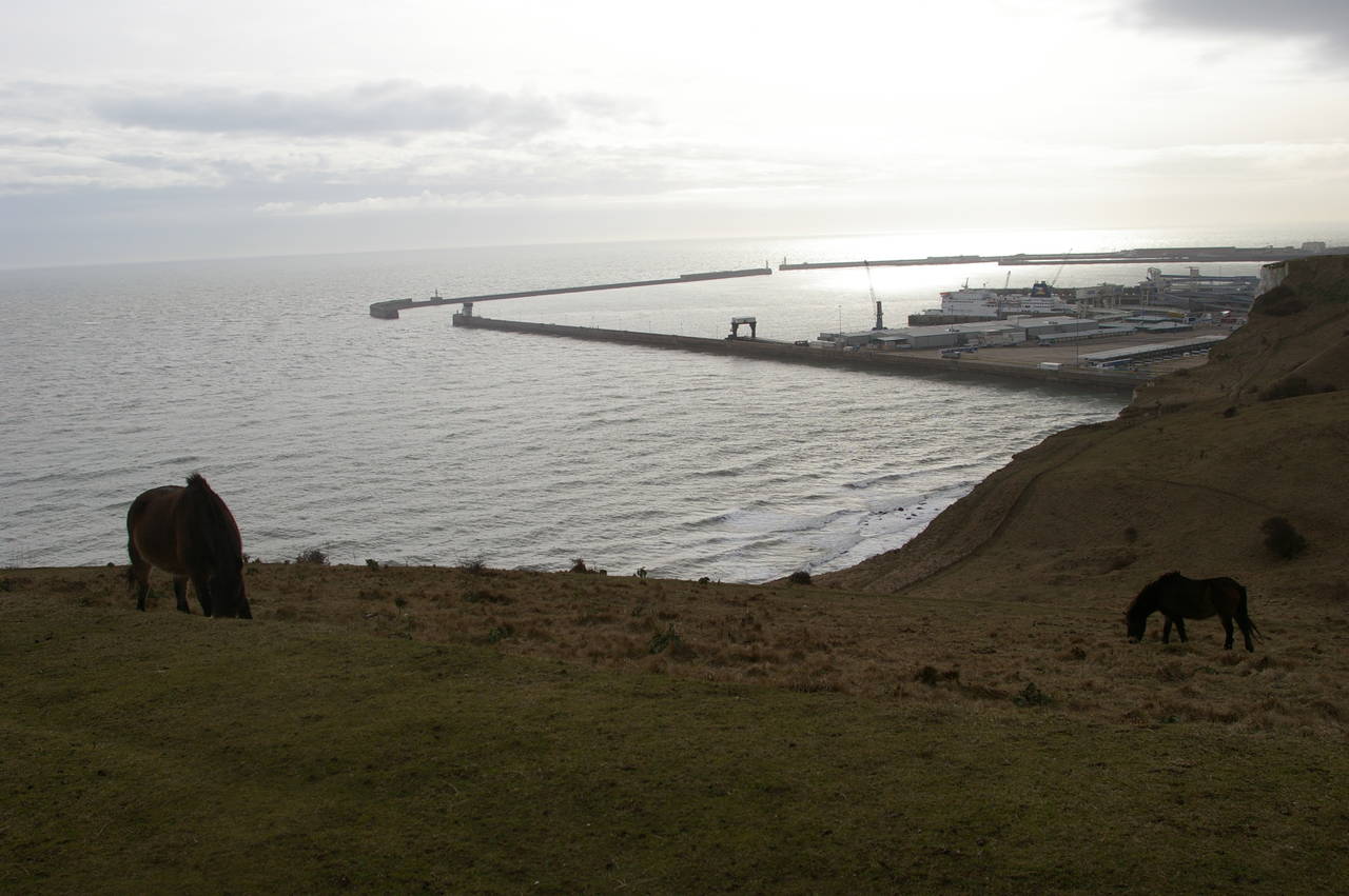
As the path continued along the top of the cliffs, more of the harbour gradually came into view. At several places along the way there are large pieces cut out of the cliffs, the largest of which is Langdon Hole (picture 21), where several horses were grazing on the grassy slopes next to the path.
A little further along the cliffs the path begins to pass above the Eastern Docks (picture 22) and soon arrives at the National Trust's Langdon Cliffs Visitor Centre. The path begins to descend beyond the Visitor Centre, with some good views over to Dover Castle (picture 23) before the path heads down some concrete steps under the A20 and into the town below Castle Hill.
Appropriately enough, the row of buildings tucked under the high cliffs includes a pub called the First and Last (picture 24).
The path follows Dover's waterfront along Marine Parade and then turns right and goes through a tunnel under the road to reach the Market Square, and the end of this stage of the walk.
Though relatively short, having only covered around 15km of the Saxon Shore Way, this was an enjoyable walk and thanks to my early start, I still had a few hours to explore the town before nightfall. Eventually I settled for the evening in the downstairs bar of Blake's pub, having booked a room in the adjoining B&B. After a long chat with the publican over a few pints of the fine Kentish cask ales (particularly the Westerham Bitter), I retired for the night at closing time.