THE SAXON SHORE WAY
Stage 7: Faversham to Herne Bay
Sunday, January 30th 2011
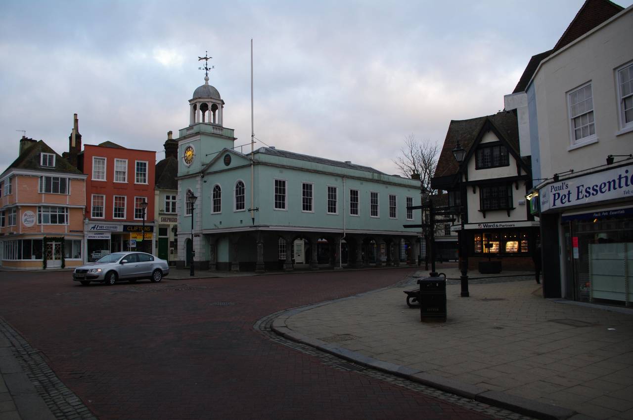
(1) Faversham Guildhall
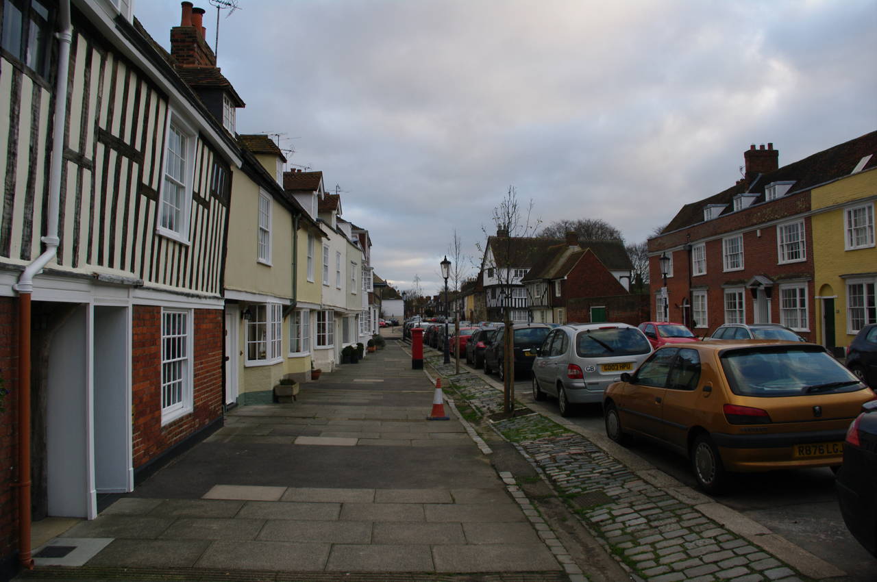
(2) Abbey Street, Faversham
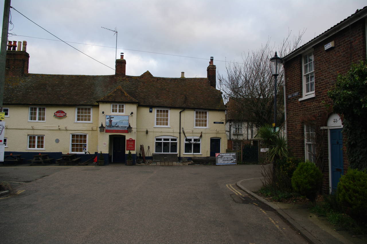
(3) The Anchor pub, Faversham
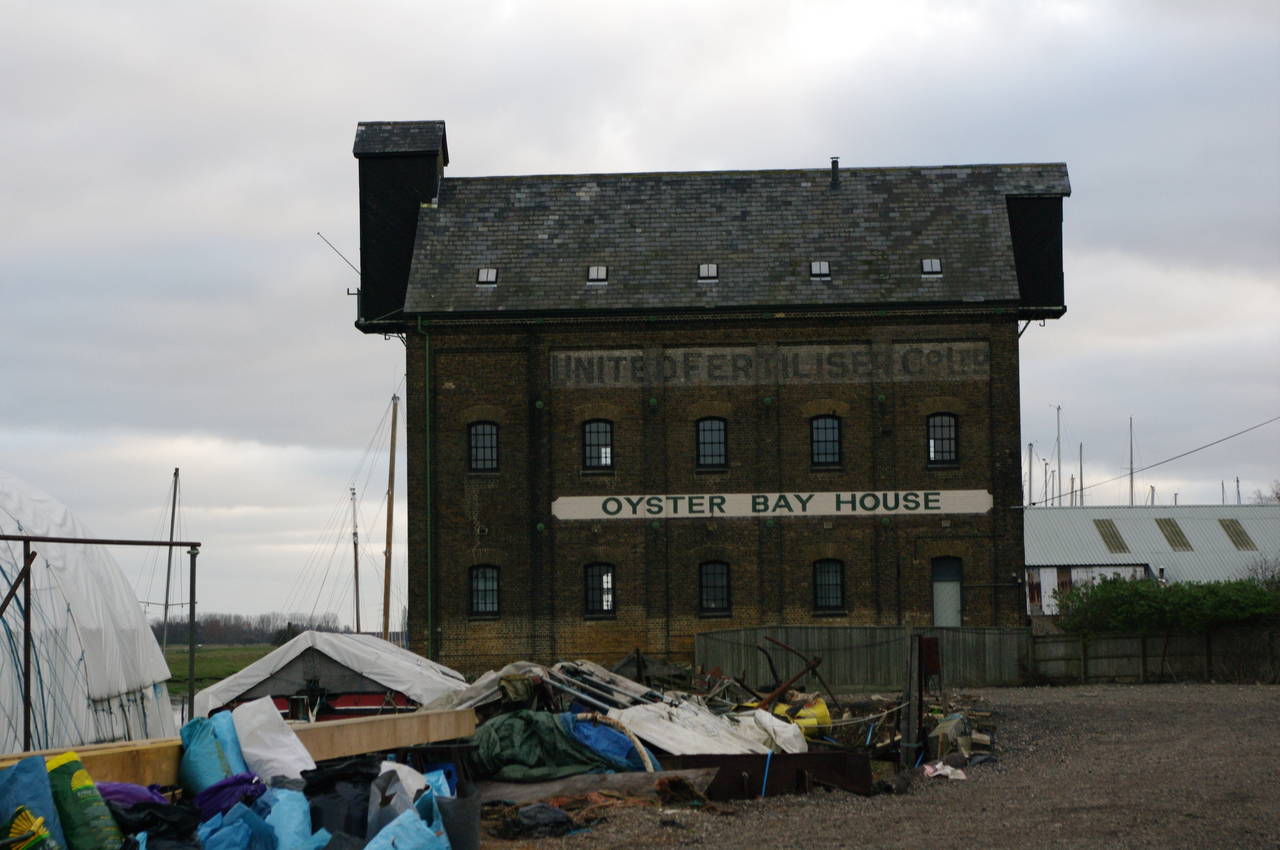
(4) Oyster Bay House
It was another cold, cloudy and windy morning as I walked up the High Street from Faversham Station, passing the 16th-century Guildhall (picture 1) at the intersection of West Street and Court Street. In the middle ages, Faversham was an important stop on the way between Canterbury and London, and built its fortunes on shipbuilding, fishing, and the manufacture of gunpowder. Going back even further, to 1189, Faversham's Oyster Fishery Company is said to be the world's first company.
At the intersection where Court Street becomes Abbey Street, I rejoined the Saxon Shore Way and continued ahead along Abbey Street (picture 2). Abbey Street ends at a T-junction in front of the Anchor pub (picture 3). On the lamppost on the right of the picture is a faded sign indicating that the route turns to the left into Abbey Road.
After about fifty metres the route turns to the right and heads between some old buildings before joining a narrow, fenced footpath past the Grade II listed Oyster Bay House (picture 4), which I had seen from the other side of Faversham Creek the previous afternoon. Built in 1843, the building was originally used to store hops that were awaiting transport to breweries in London.
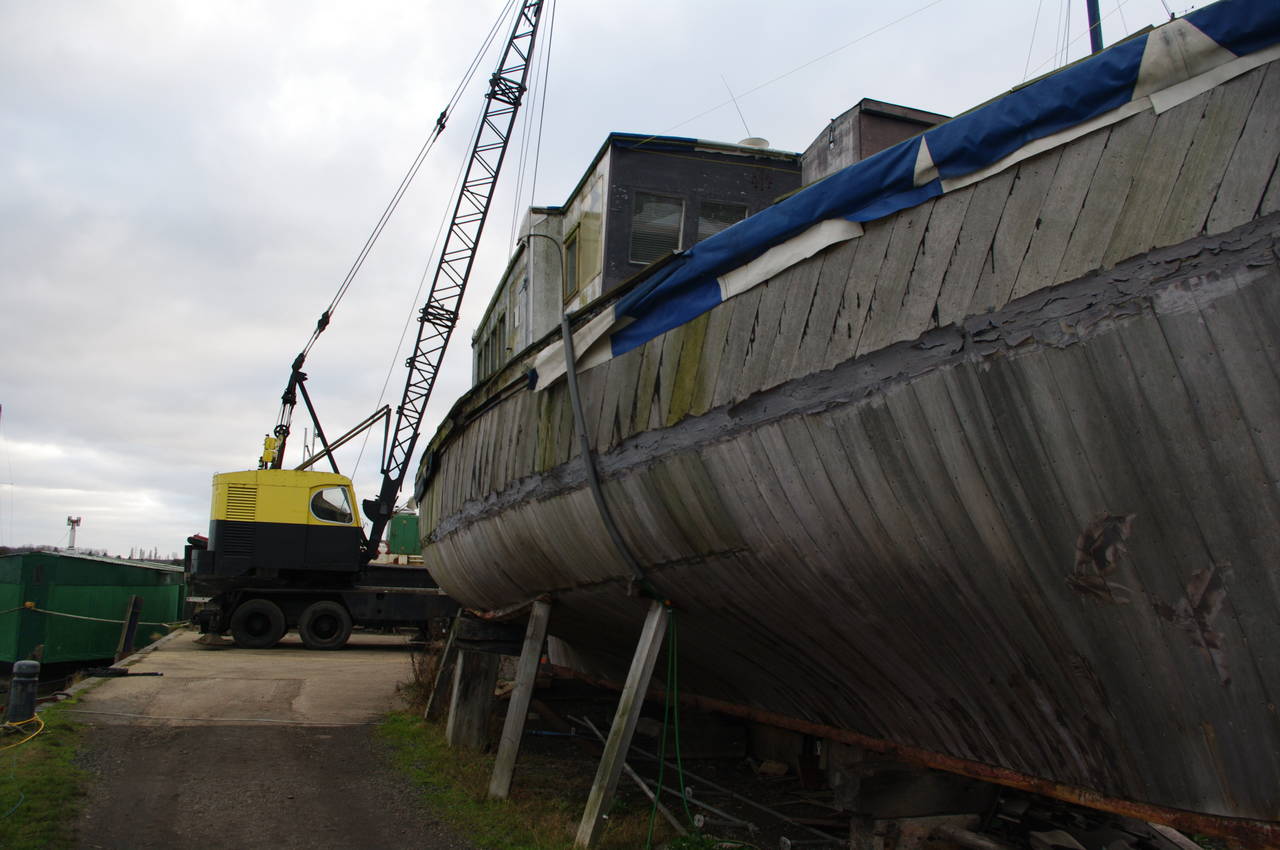
(5) Iron Wharf Boatyard
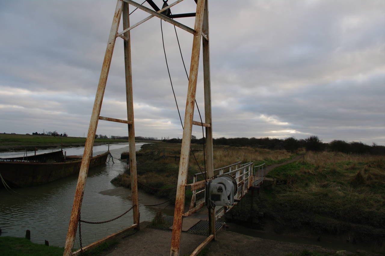
(6) Faversham Creek
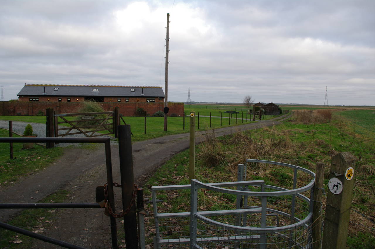
(7) Road past Nagden Cottages
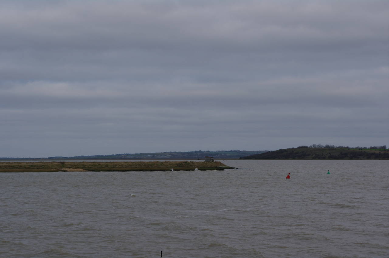
(8) View to the Isle of Sheppey
The route continues parallel to the creek, passing through the Iron Wharf Boatyard (picture 5) and then crossing a metal footbridge over a small waterway (picture 6) to join a path along the edge of the creek.
For a while the path is hard-packed gravel, shared with the National Cycle Network, and the walking is easy. When the NCN heads off away from the creek, the Saxon Shore Way briefly joins the grassy floodbank before crossing a small horse paddock, passing through a metal kissing gate, and joining a rough road that passes Nagden Cottages (picture 7).
Just beyond the cottages, the route leaves the road to the left and rejoins the floodbank along the edge of Faversham Creek. The path follows the bank along the southern edge of the Nagden Marshes, arriving back at the junction with Oare Creek for the third time on the walk. Here the path turns northwards, continuing to follow the floodbank to the point where Faversham Creek flows into the Swale.
From here there were good views across the creek to the Oare Marshes where I had walked the previous day. I could see the little bird-watching shelter that I had walked past about 13km back along the trail, now just a couple of hundred metres away across the mouth of the creek, and several farmhouses across the Swale on the Isle of Sheppey (picture 8).
(9) Path along the Swale
(10) View to the Isle of Sheppey
(11) Beach Chalets
(12) View to Whitstable and the North Downs
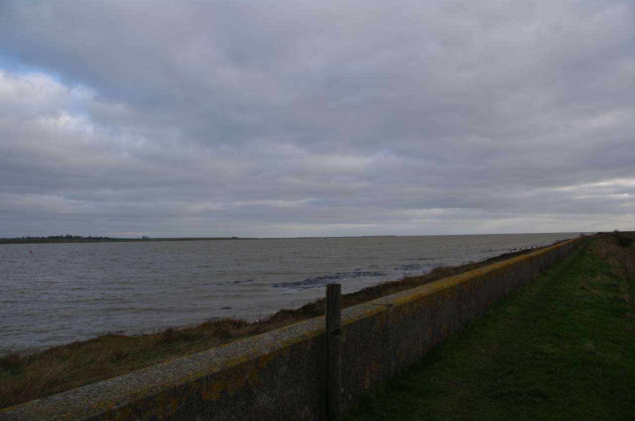
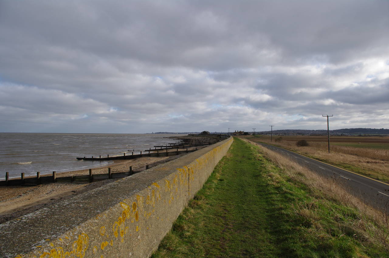
The Saxon Shore Way follows the floodbank along the third side of Nagden Marshes. The coast of the Isle of Sheppey gradually gets further away as the Swale widens out and eventually flows into the North Sea. A concrete sea wall soon starts to run along the top of the floodbank (picture 9), offering some extra protection as the less sheltered waters of this part of the Swale began to be whipped up into waves by the strong wind. It was only here that I realized how quiet the waters had been further up the Swale.
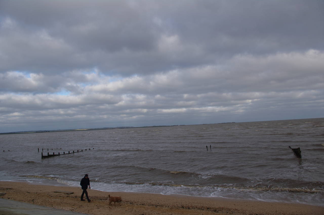
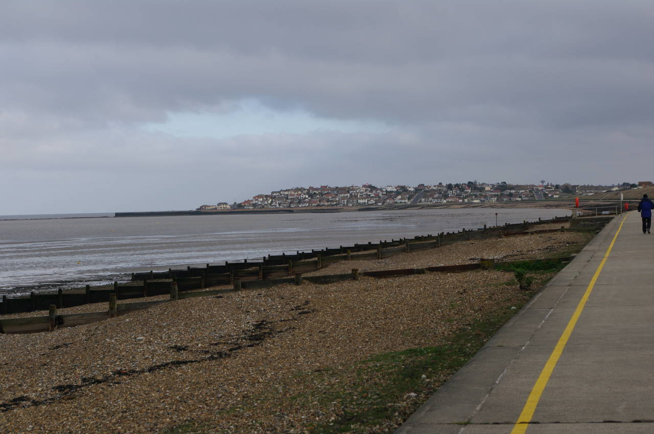
The path beside the sea wall runs straight ahead for a little over three kilometres, passing through the South Swale Nature Reserve before the marshes and reed beds at the edge of the Swale give way to the shingle beaches of Whitstable Bay and the North Sea. Across the water the Isle of Sheppey was now quite distant and the tip of the island at Shellness was just visible on the horizon (picture 10).
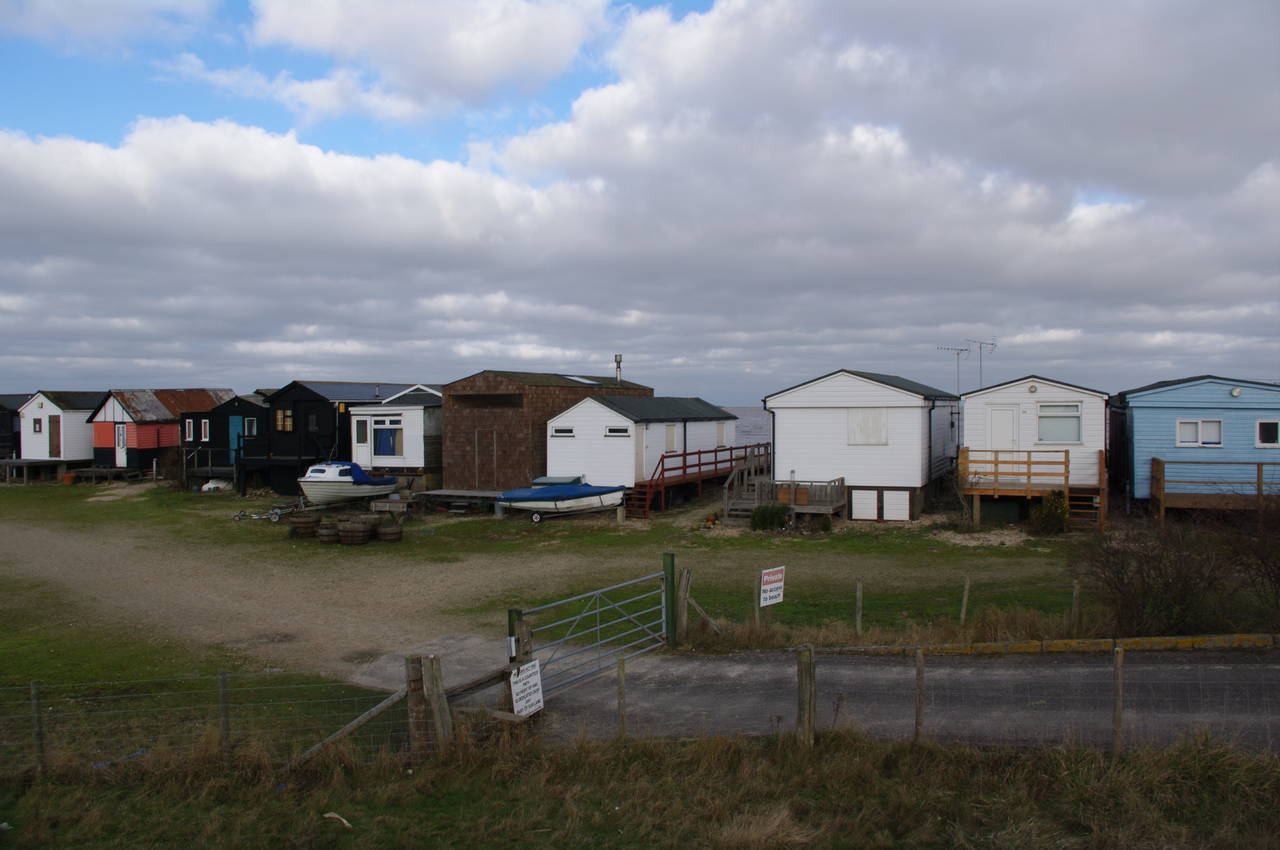
Soon the sea wall temporarily ends and the floodbank heads slightly inland between a row of beach-side chalets (picture 11) and the Sportsman pub. Beyond the chalets, the path follows another section of sea wall above a road. Here the sun broke through the cloud cover for the first time, improving the views ahead over Whitstable Bay and to the right towards the hills of the North Downs (picture 12).
(13) Seasalter
(14) Railway bridge
(15) Turning into Sherrin's Alley
(16) Whitstable Bay
Within a kilometre the path starts to pass a much longer row of chalets and caravans. At the end of these, the path drops down to the road and follows it through a line of beach-side cottages that mark the beginnings of the town of Seasalter (picture 13).
When the road bears away from the beach, the Saxon Shore Way continues straight ahead on a track into a private estate. The track through the estate eventually starts to climb uphill to a brick railway bridge (picture 14), which the Way crosses, then heads along the main road to the left.
About 500 metres later, having passed the Rose In Bloom pub, a signpost next to a somewhat nautical-looking house (picture 15) directs the Way onto a narrow footpath known as Sherrin's Alley.
Sherrin's Alley heads down a long flight of steps towards the railway line. About halfway down, marker discs on a wooden post point along the trail to the right, The Ordnance Survey map shows that there is an alternate, equally official, route that continues down the rest of the steps and crosses the railway lines via a footbridge before following the seafront to the right.
I could see no obvious reason for having two alternative routes here, and followed the signposted one, which I suspected had better views over the bay (picture 16). The route follows a metaled path through scrubby land before reaching another footbridge over the railway line, after which the path crosses a golf course and meets up with the other route.
(17) Beachfront houses, Whitstable
(18) The Old Neptune, Whitstable
(19) Royal Native Oyster Stores
(20) Beach huts, Tankerton Bay
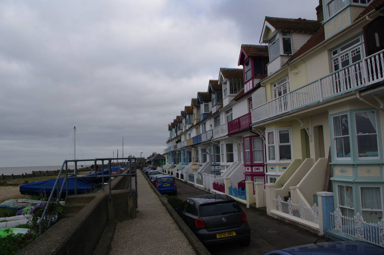
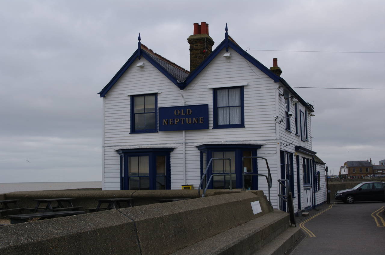
The path turns to the right and follows the side of the golf course to a road. A short distance along the road, a well-hidden signpost points left along a short path to some concrete steps over the sea wall. The route then follows a beach-front path past a line of attractive terrace houses (picture 17) and half a dozen tennis courts, before reaching the Old Neptune pub (picture 18) where I took refuge from the cold wind while enjoying a pint of Sharp's Doombar and a nice lunch of cod and chips.
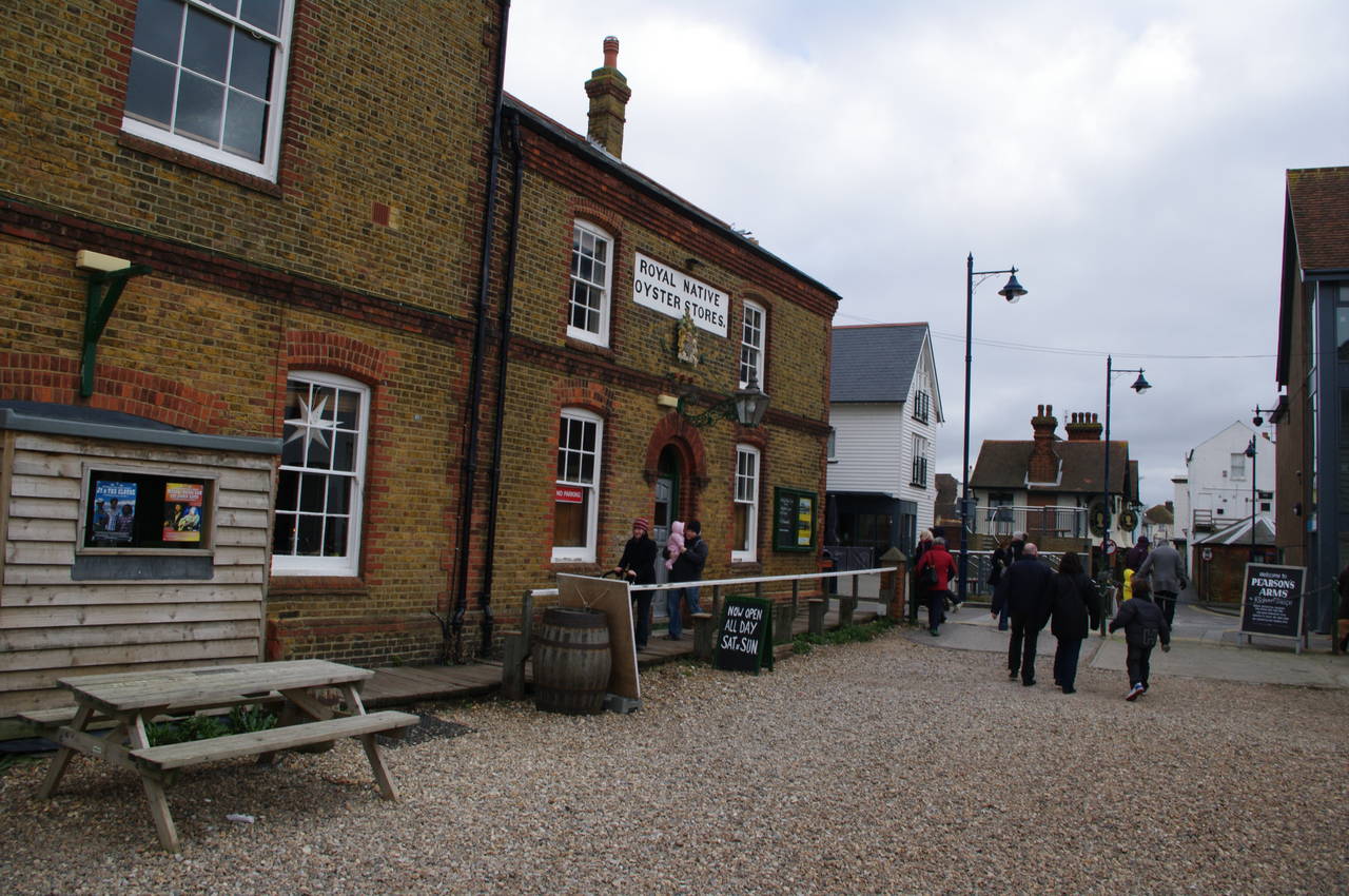
Leaving the pub, the path follows a narrow road called Sea Wall past the Pearson's Arms pub and the Royal Native Oyster Stores (picture 19). Despite the cold weather, this part of the town was quite busy, with many people wandering along the beach in front of the Stores.
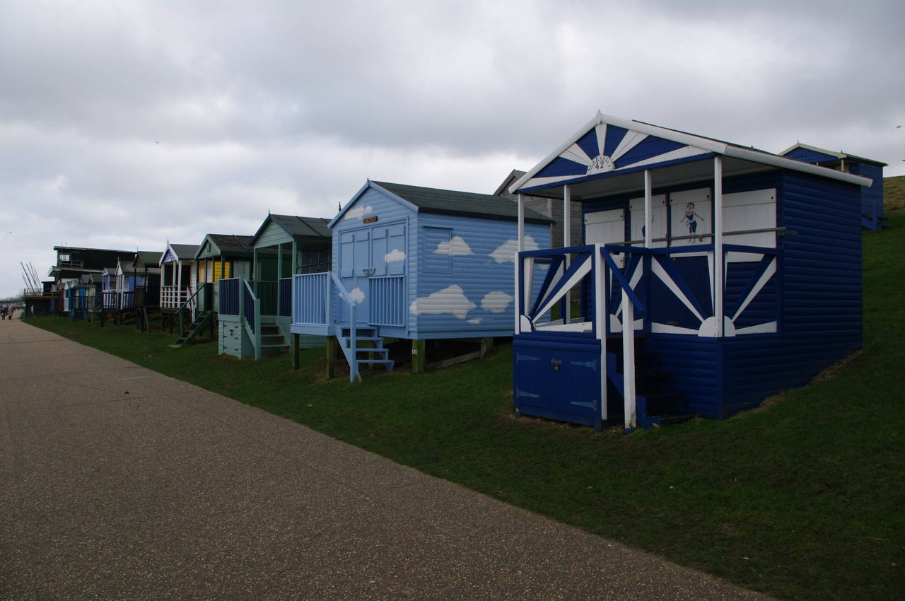
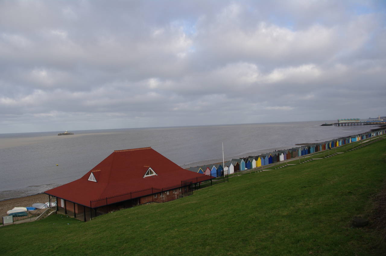
The route continues to follow Sea Wall between weatherboard buildings before joining the main road, which passes the Whitstable Harbour. A short distance past the Harbour, the route leaves the main road and joins the promenade along Tankerton Beach. For much of the way, the steep grassy bank beside the promenade is lined with hundreds of colourful beach huts, in some places three rows deep (picture 20).
(21) Looking back across Tankerton Bay
(22) View from Swalecliffe to Hampton
(23) Herne Bay

(24) Herne Bay Pier
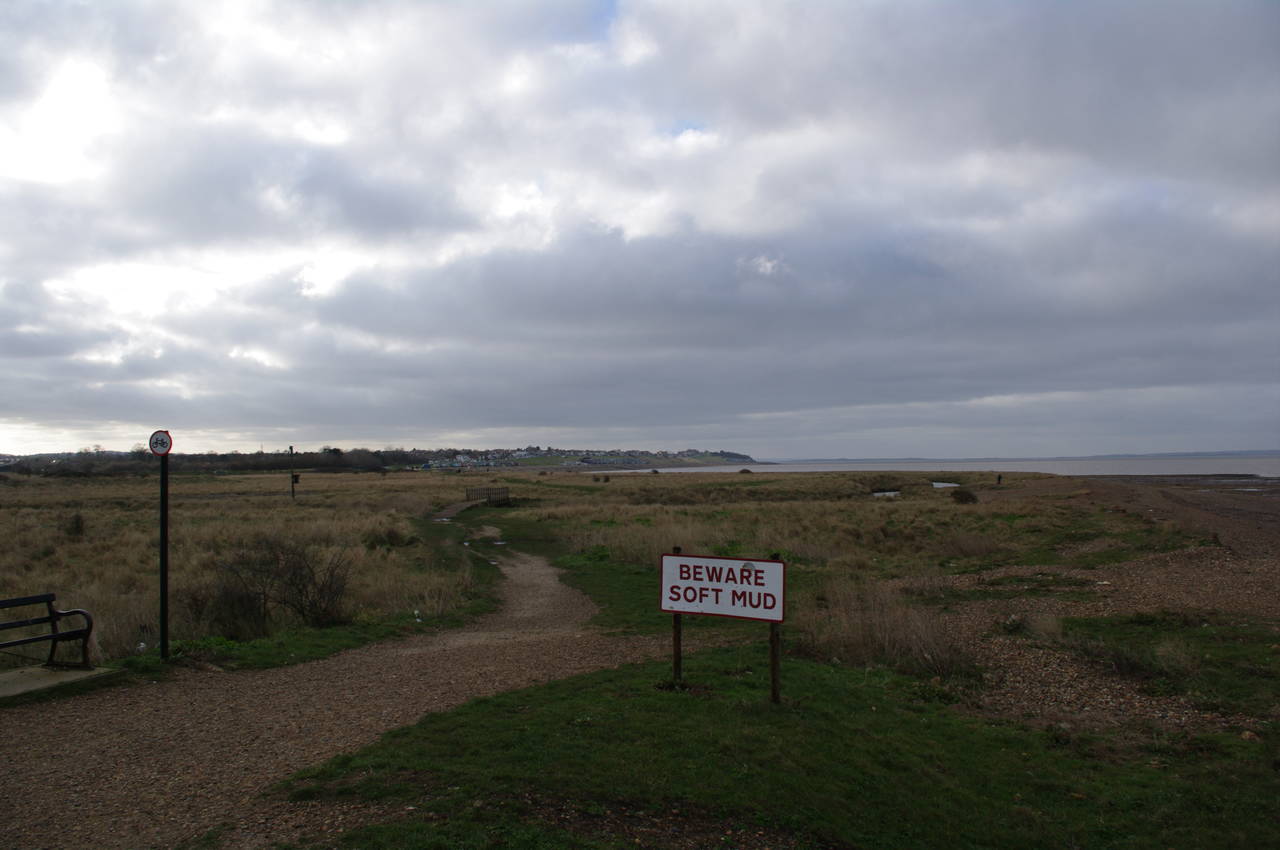
Eventually, the long line of huts ends and the path passes a skate park just before the promenade ends at Swalecliffe. The route then follows a rough gravel track slightly inland across a fairly barren patch of ground where several signs warn of soft mud. After about 400 metres the track joins another promenade, where I took picture 21 looking back across Tankerton Bay. On the railings where the track joins the promenade was a large sign stating that "naturism is not condoned on this beach," though given the cold, windy weather, there was little danger of encountering any naturists on this day.
The promenade runs around the next bay for about two kilometres, passing Swalecliffe and Studd Hill before reaching Hampton. Most of the houses of Studd Hill were hidden by the steep grassy bank next to the promenade, but the houses on the side of the hill at Hampton were visible across the bay (picture 22). Several kilometres out to sea, the tall white turbines of the Kentish Flats Wind Farm were turning quite rapidly in the strong winds.
Reaching Hampton, the promenade curves around a large beachside playground where the sun briefly broke through the ominous clouds. The route continues past the Hampton Inn pub and then climbs uphill along Western Esplanade through the outskirts of Herne Bay.
From the top of the hill, I could see another long line of colourful huts along the beach leading up to the Herne Bay Pier, and out to sea, the remains of the original Herne Bay Pier (picture 23). The original pier was the second longest in England, at almost 1100 metres, but much of it was destroyed by a storm in 1978. The current pier is much shorter and is mostly occupied by a large pavilion (picture 24).
Having reached the landward end of the pier, I left the Saxon Shore Way, the GPS indicating that I had walked 23.5km from Faversham. I headed down Station Road, arriving at Herne Bay Station in about ten minutes, to find that the rail line was closed as far as Sittingbourne for engineering works. The next replacement bus service arrived about 45 minutes later and took a very convoluted one hour drive to Whitstable, Faversham and Sittingbourne stations before I could get the train to London Victoria.