THE SAXON SHORE WAY
Stage 6: Sittingbourne to Faversham
Saturday, January 29th, 2011
The weather forecast said it would be around zero degrees and "mostly cloudy" in the morning, improving to "partly cloudy" in the afternoon. Dawn was breaking as my train set off from London Victoria and it soon became apparent that the morning was completely overcast, a state of affairs that would persist throughout the day, despite the more optimistic forecast. At least the forecast was fairly accurate in respect of the temperature, for which I was well-prepared, having spent the three and a half weeks since the previous stage of the walk working in Norway and Finland.
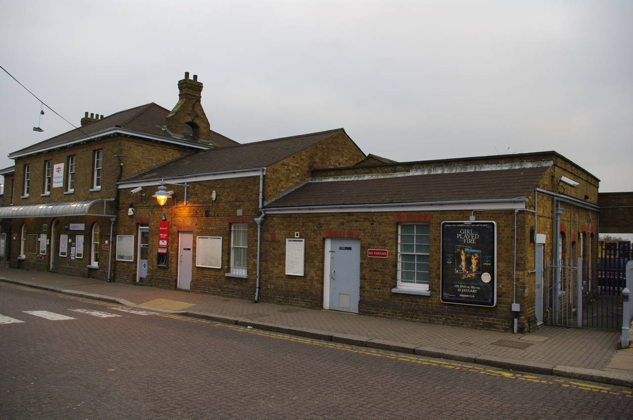
(1) Sittingbourne Station
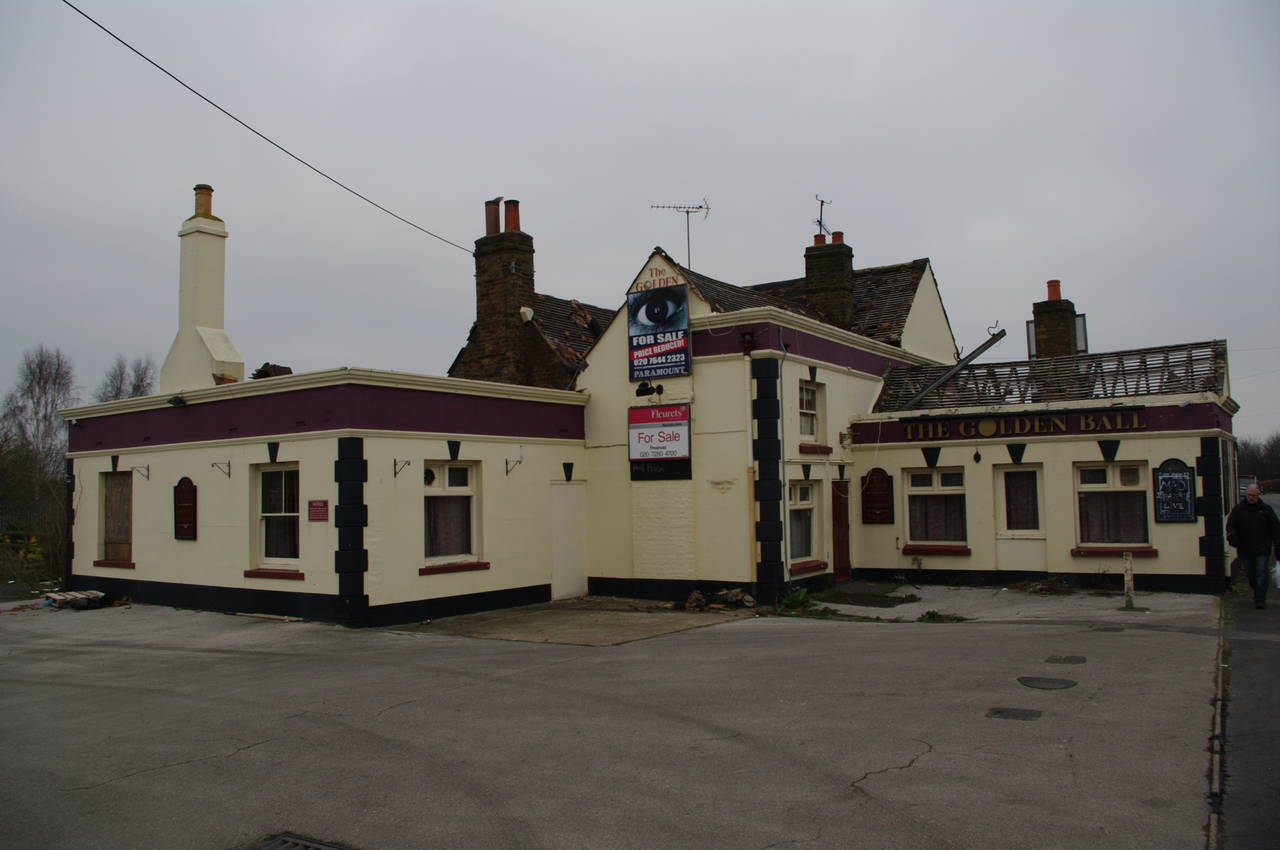
(2) The Golden Ball, Church Road, Sittingbourne
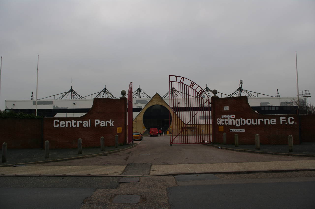
(3) Central Park, Sittingbourne

(4) Milton Creek
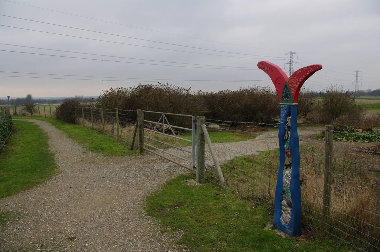
The train arrived at Sittingbourne Station (picture 1) at exactly 8.30 and I headed downhill to the west of the station and under the railway lines to return to Eurolink Way, where I had ended the previous stage of the walk.
The route of the Saxon Shore Way follows Eurolink Way for almost a kilometre, passing a variety of unphotogenic industrial buildings before turning left into Castle Road, where it passes some larger industrial buildings. After another 500 metres, the route turns right into Dolphin Road, though there was no waymarker at this corner to indicate the correct route.
Dolphin Road climbs uphill for a short way before a marker post at the end of the road points to the left along Church Road. The road passes some brick houses and the Golden Ball pub (picture 2), before reaching Central Park Stadium (picture 3), home to the local soccer team.
Just past the gates of Central Park, the route turns left into Stadium Way and heads gradually downhill, crossing a roundabout at the intersection with Castle Road and heading down to rejoin Milton Creek. Unlike when I walked along the other side of the creek into Sittingbourne, the tide was in and the creek was full of water (picture 4).
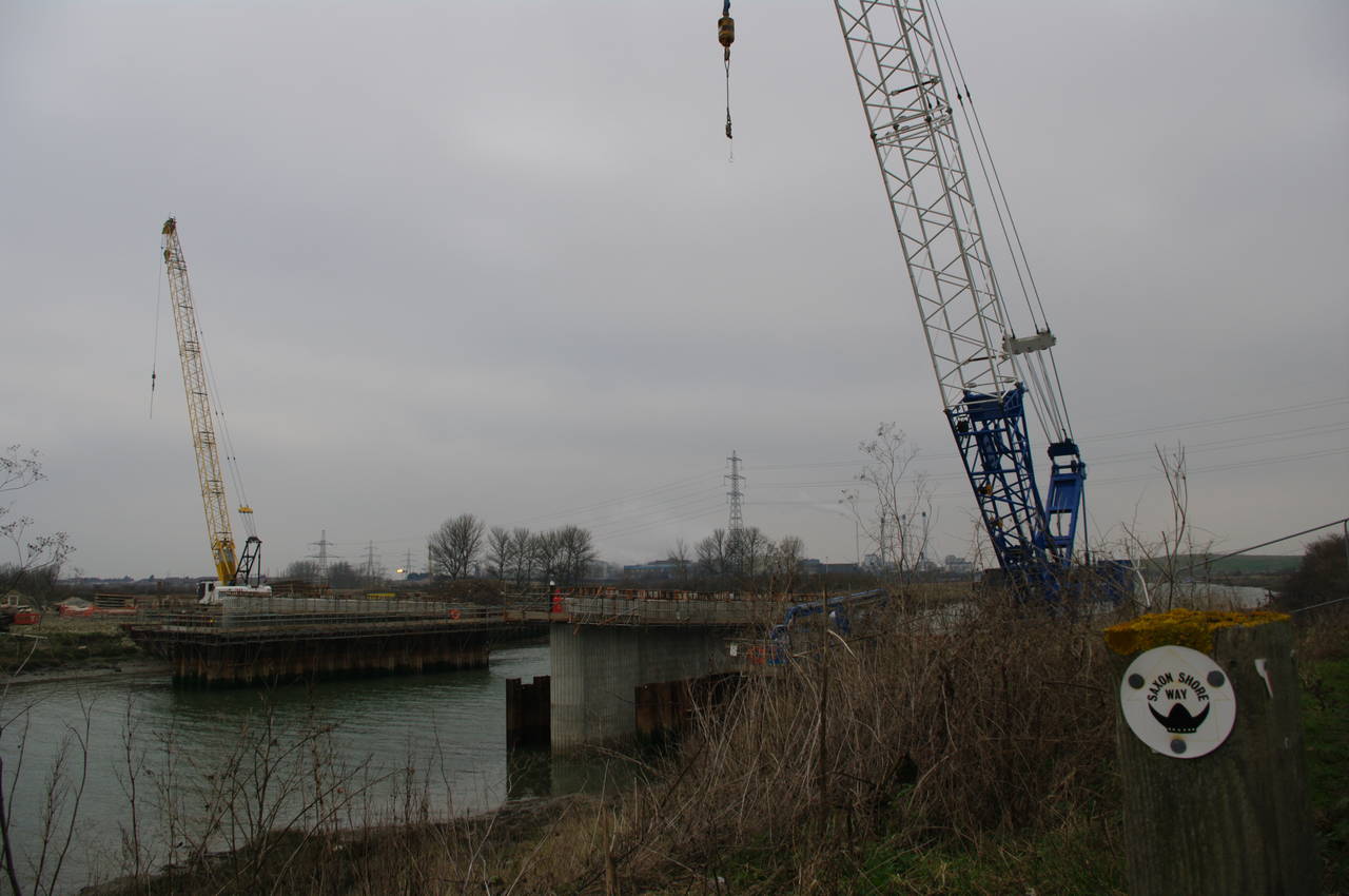
(5) Bridge construction

(6) Sittingbourne Paper Mill

(7) Mouth of Milton Creek
(8) Two more old boats
A short way along the creek, I reached the construction site that I had seen on the previous stage of the walk, and it was now apparent that a new bridge was being built across the creek (picture 5). After a slight excursion around the construction site, I rejoined the path beside Milton Creek, which heads out into open country and soon passes opposite the Sittingbourne Paper Mill (picture 6).
Once out into the open, there was a strong (and very cold) wind blowing right into my face and I was very glad to be wearing my windproof jacket and gloves.
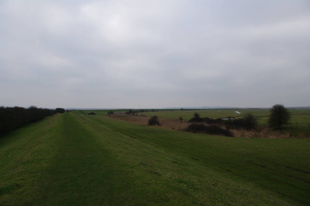
The path continues along the floodbank, skirting around the edge of the Little Murston Nature Reserve as Milton Creek flows into the Swale (picture 7). From here the Sheppey Crossing Bridge is visible to the northeast.
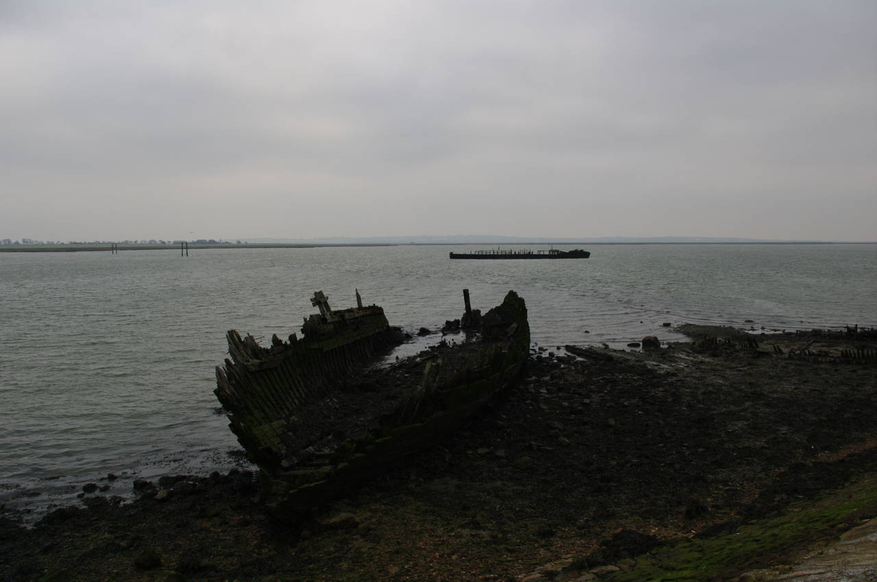
The path continues to follow the floodbank alongside the Swale for around three kilometres to the mouth of Conyer Creek. Along the way there are more old wooden boats slowly rotting away in the mud (picture 8).
(9) View across marshes
(10) Mouth of Conyer Creek

(11) Weir built into floodbank
(12) Conyer
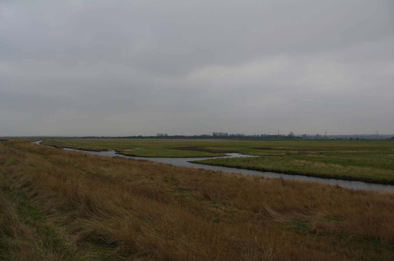
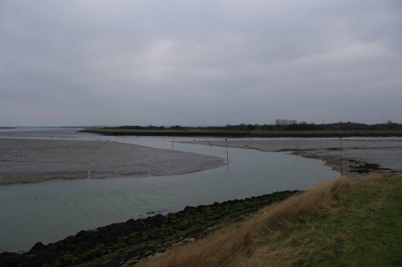
To the right of the floodbank the marshy land was criss-crossed by numerous small waterways (picture 9). By the time I reached the mouth of Conyer Creek, the tide had receded considerably, revealing the safe boating channel through the mudflats (picture 10).
The route then follows the floodbank beside Conyer Creek as it twists its way inland, crossing a metal bridge over a weir built into the floodbank to allow controlled water flow between the marshes and the creek (picture 11).
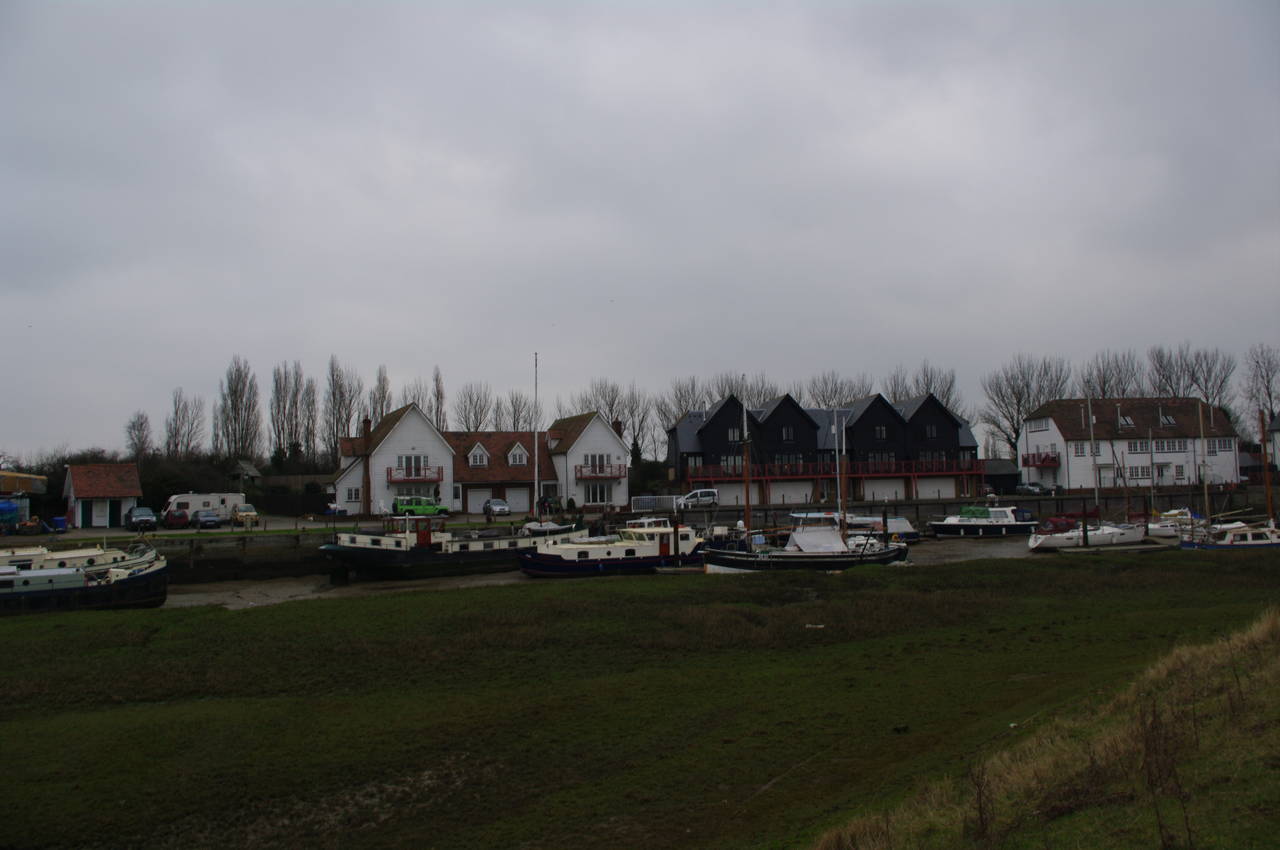
As the path continued along the floodbank opposite the village of Conyer (picture 12) it was obvious that the many boats in the river can only be moved around the high-tide. As I passed the village while the tide was going out, most of the boats were sitting on the mud of the creek bed.
(13) Path around the end of Conyer Creek

(14) The Ship Inn, Conyer
(15) Floodbank heading towards the Swale

(16) View to the Isle of Sheppey
The Saxon Shore Way passes by the boatyards at the end of the creek, joining a firm gravel track around the end of the creek. This section of track is shared with the National Cycle Network and has another of the fancy NCN route markers (picture 13). The walking here was much easier than on the floodbank, which had been quite muddy in places.
Once around the end of the creek, the path joins a road through the village of Conyer, soon passing the Ship Inn (picture 14), though as it was still 45 minutes to opening time, I did not stop off for a look inside.
At the end of the road, the route passes through a metal kissing gate and follows a driveway uphill past the last few houses. Rather than returning to the banks of Conyer Creek, the route follows a trail that cuts through scrubland before joining a section of grassy floodbank (picture 15) that soon leads back to the Swale.
Once back on the banks of the Swale, the Way follows the floodbank for around five kilometres to the mouth of Faversham Creek. For most of this distance, the path along the top of the floodbank is wide and grassy, with good views across the Swale to the Isle of Sheppey on the left (picture 16).

(17) Sheep grazing below the floodbank

(18) Entering Oare Marshes Nature Reserve
(19) Oare Nature Reserve Visitor Center

(20) Oare Slipway
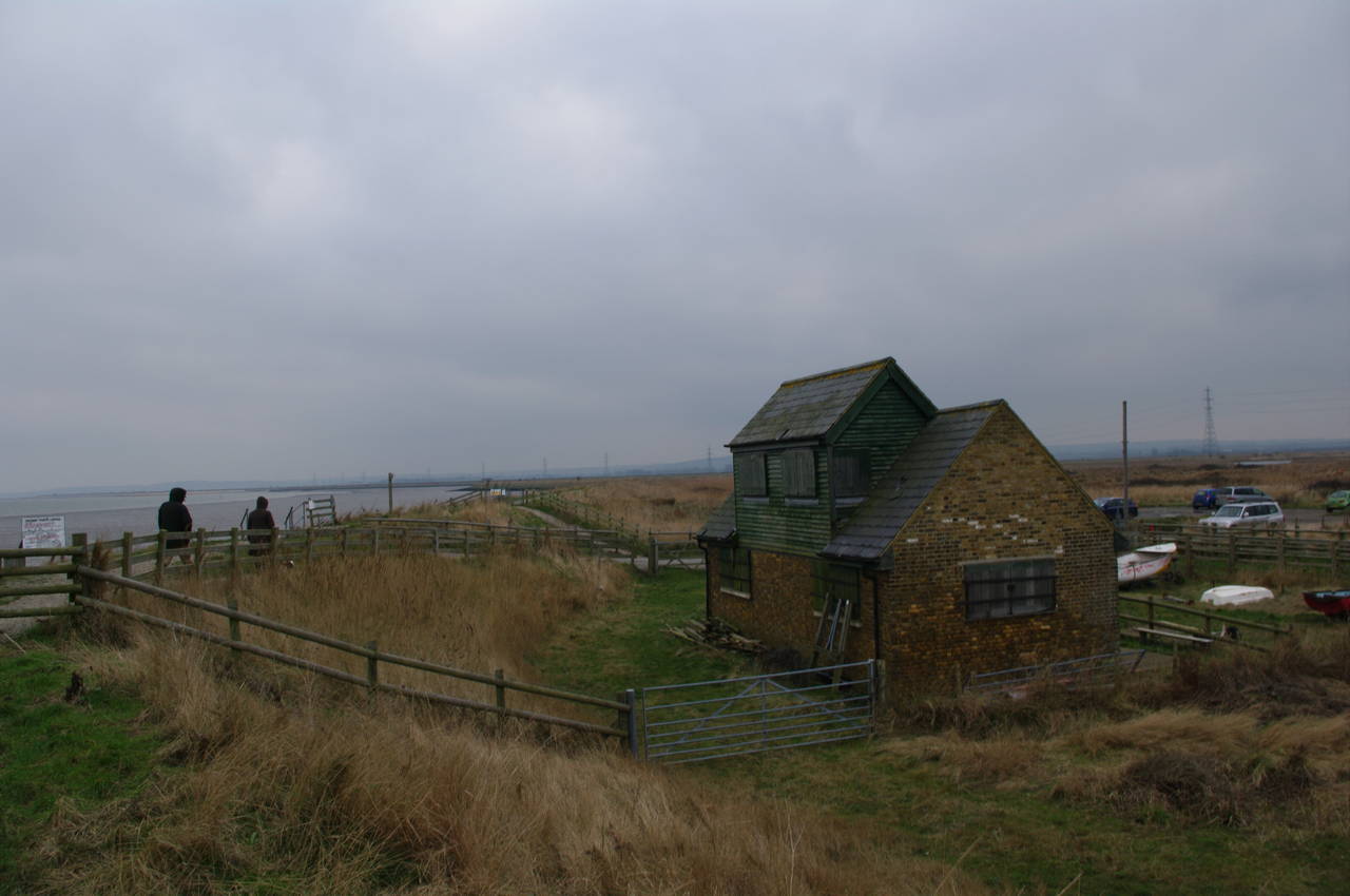
Off to the right of the path for much of the way were vast flat expanses of sheep-grazed fields (picture 17). About three quarters of the way along this section of the floodbank, the path enters the Oare Marshes Nature Reserve, where an information panel next to the gate illustrates some of the wildlife that can be found in the freshwater marshes (picture 18).
Further along the path, the route passes the reserve's small Visitor Centre (picture 19) and carpark, where a road crosses the path to a long slipway (picture 20).

(21) Mouth of Faversham Creek

(22) Oare Creek leaves Faversham Creek

(23) Oare Creek

(24) The Castle, Oare
A hard-packed gravel path leads ahead to a small wooden bird-watcher's hide at the corner of the reserve, where Faversham Creek flows into the Swale (picture 21). Along this stretch of the path, the cold wind blowing along the Swale was particularly biting.
The walk then proceeds along the floodbank as it turns inland along Faversham Creek and then along Oare Creek, which soon forks off Faversham Creek to the right (picture 22). Just about the entire length of Oare Creek was lined with a huge variety of boats (picture 23) and the sounds of the wind whipping through their rigging was ever-present.
At the end of the creek, the route joins Oare Road next to the Castle pub in the village of Oare (picture 24), where I stopped for lunch and a pint.

(25) Path beside Oare Creek
(26) Nagden Cottages

(27) Approaching Faversham

(28) Houses by Faversham Creek
Leaving the pub, the route follows Oare Road briefly across the end of the creek, then turns left along a broad, surfaced path that leads back along the creek behind a boatyard. Soon the path passes through a squeeze stile and a narrower track leads behind more buildings before returning to the edge of the creek (picture 25).
The Saxon Shore Way then follows a five kilometre loop along the floodbank beside Oare Creek and then along Faversham Creek and into the town of Faversham. This loop brings the trail back to a point at the end of Faversham Creek only a little over one kilometre from the end of Oare Creek, in the process covering most of the Two Creeks Circular Walk, for which several information panels are displayed along the path.
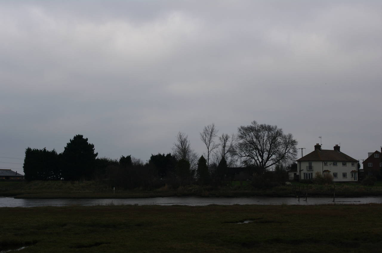
Faversham Creek is a good deal longer than Oare Creek and there were no boats until the creek reached the edge of the town. Along the way, a group of houses known as Nagden Cottages were visible on the other side of the creek (picture 26) and further along was a waste-water treatment plant.
Reaching the outskirts of the town, the path along the grassy floodbank passes opposite several boatyards and the distinctive brick Oyster Bay House (picture 27). Just past Oyster Bay House, the route skirts around a group of houses built on the edge of the creek (picture 28), soon returning to the creek on a footpath opposite some more houses.

(29) The Albion, Faversham

(30) View across Abbey Street, Faversham

(31) Shepherd Neame Brewery

(32) Shepherd Neame Brewery
A short distance further on, the footpath joins a road and passes the Albion pub (picture 29), one of at least eleven Shepherd Neame pubs in Faversham.
At the end of the road, the route turns left onto Bridge Road and crosses a bridge over Faversham Creek. The route then continues along Bridge Road as it passes around the Shepherd Neame Brewery and climbs gently uphill on Quay Lane to reach Abbey Street. Ahead of the intersection is a tall church spire (picture 30), but the route turns left along Abbey Street. There was no waymarker at the intersection and it would be easy to continue across the intersection and on towards the church.
At this point I left the Saxon Shore Way for the day and headed to the right down Court Street, left onto West Street and then down the High Street to the railway station. My GPS showed exactly 26km covered on the trail and just over 27km in total for the day.
Faversham is an interesting town with many fine old buildings, well over a dozen pubs, and the Shepherd Neame Brewery, England's oldest brewery, established in 1698. Back in February 2010, I visited the brewery for a tour and beer tasting (pictures 31 and 32), which I would recommend for anyone with an interest in real ale.
Since then, I have become quite familiar with the town, having stayed at the Sun Inn on West Street while completing the middle stages of the North Downs Way in August 2010 and again while completing the first five stages of the Saxon Shore Way. The town is conveniently located at a junction in the railway line, with services running east along the coast towards Margate and Ramsgate, south to Canterbury and Dover, and west towards Rochester and London.