CAPITAL RING
Stage 5: Sudbury Hill to Highgate
Sunday, September 30, 2012
(1) Green Lane, Sudbury
(2) Vaughan Library, Harrow
(3) Harrow School Chapel
(4) Museum of Harrow Life
I awoke to find that the previous day's warm sunny weather had disappeared, to be replaced by thick cloud and colder temperatures. The overcast conditions would turn out to last for the entire day, except for a brief sunny spell at lunchtime, but at least the rain stayed away, for now.
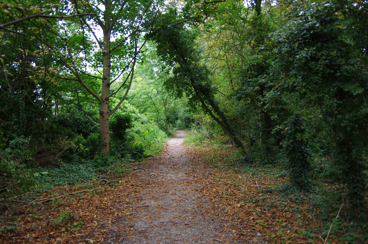
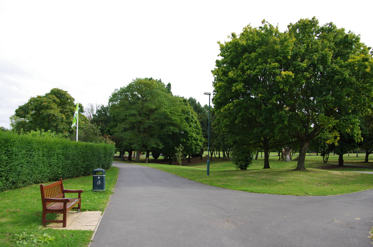
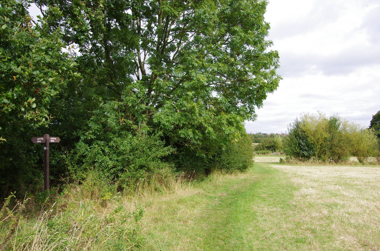
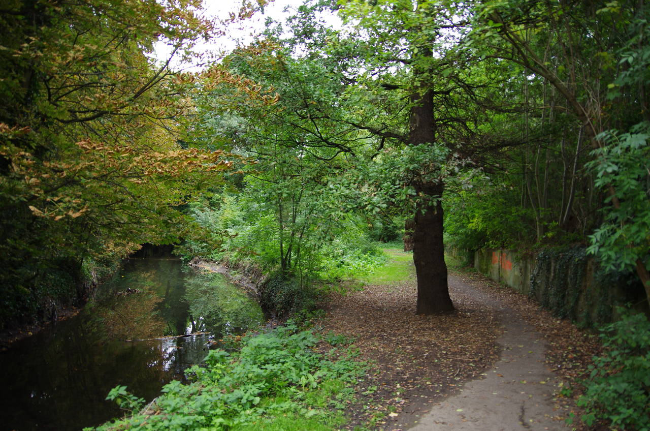
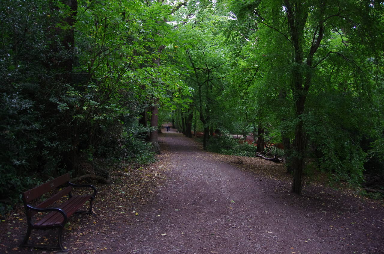
From the front of Sudbury Hill tube station, I set off to the left down the A4127 Greenford Road, passing a row of shops and then the Sudbury Hill Harrow Station of the London Overground. Just past the station, the Capital Ring turns left on South Vale, following the left hand pavement for about 300 metres to a sharp bend, where the route crosses over and proceeds into woods on a gently ascending footpath called Green Lane (picture 1).
At the top of the track the route turns left along the A4005 Sudbury Hill in the well-to-do neighbourhood of Harrow-on-the-Hill. For the next little while the Capital Ring signage changes from it's usual green colour to black.
The road bends left then right past some rather substantial homes before becoming London Road. About 100 metres further on the main road bends left, but the Capital Ring continues ahead, still on London Road for a little while before the road becomes Harrow's High Street. At the little village green one reaches the highest point of the Capital Ring in north London, at 105 metres above sea-level.
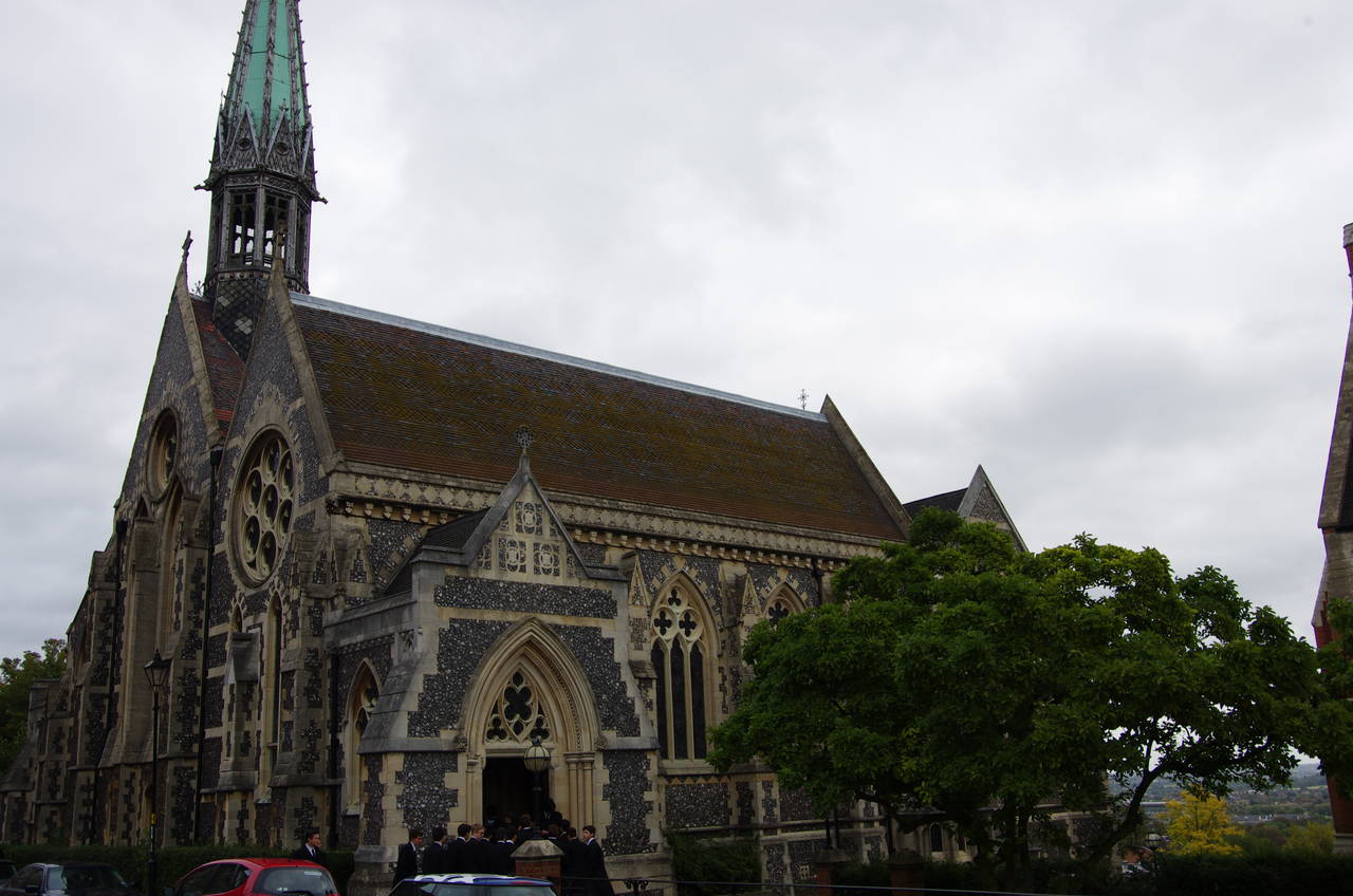
From the green the Capital Ring follows the High Street through the old village and up to the famous Harrow public school. As I strolled along the High Street, I was overtaken by several groups of the school's students, dressed in their fancy uniforms and evidently late for a church service at the school's chapel, where bells were ringing up ahead.
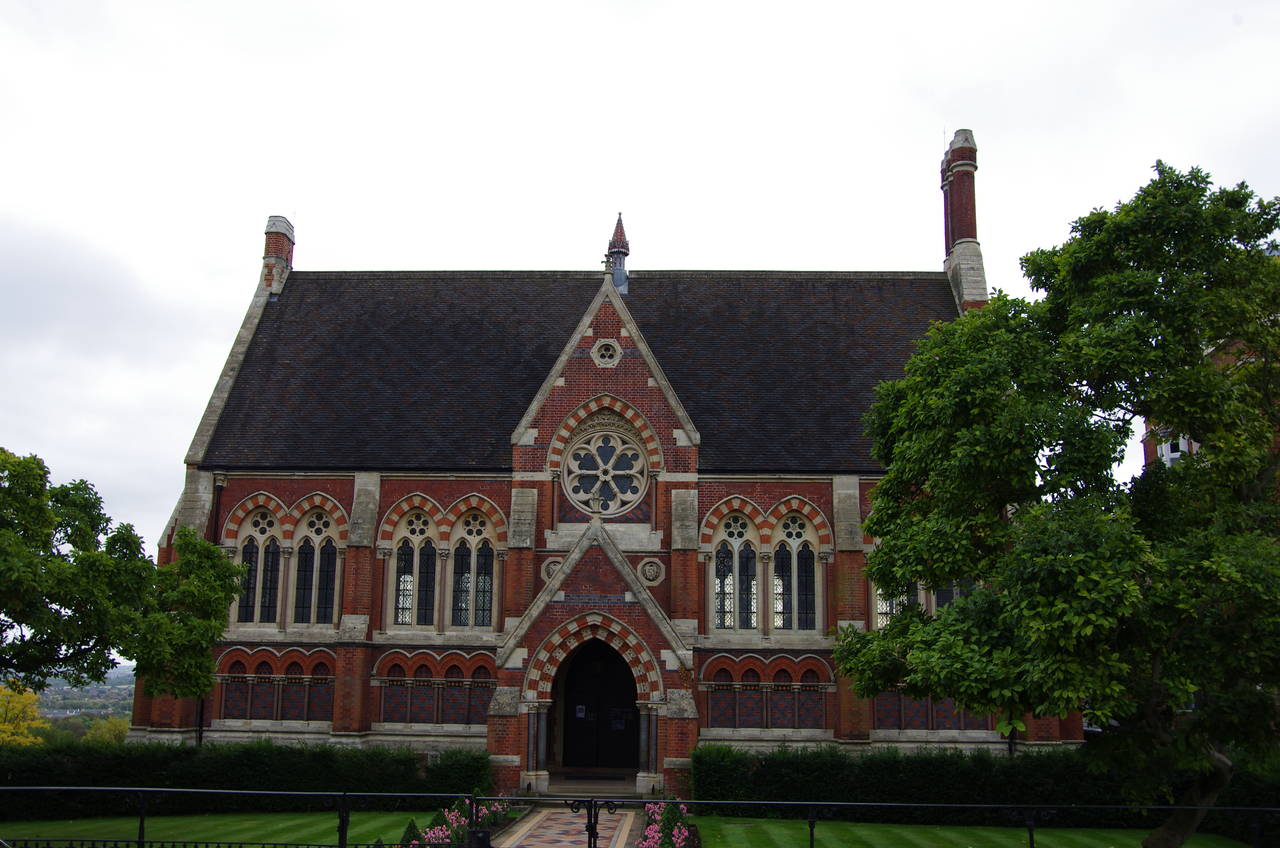
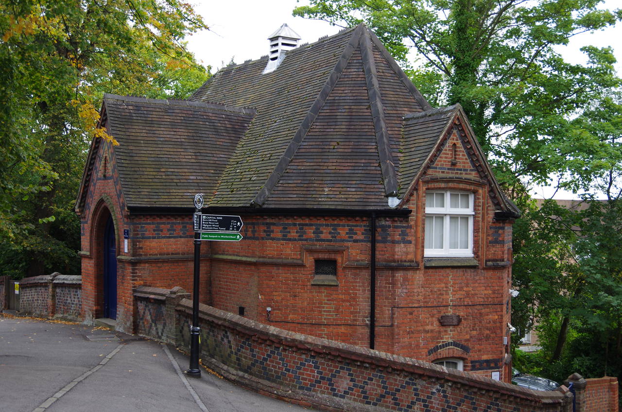
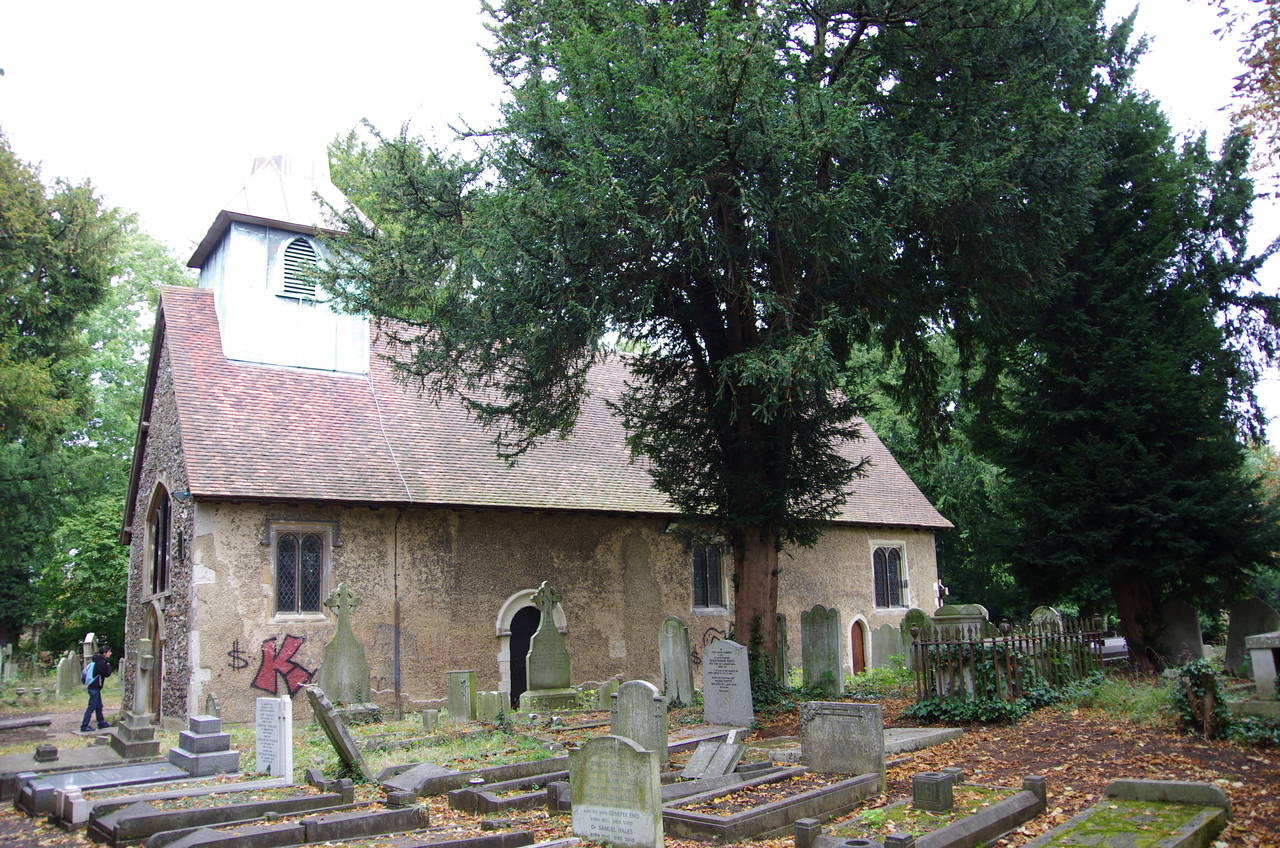
On reaching the school, the farthest point of the Capital Ring from Trafalgar Square in central London, one first passes by the Vaughan Library (picture 2), built in 1863, and then by the flint Chapel (picture 3), built in 1857, beyond which the road curves around to the right. The Capital Ring soon bears right again, heading downhill on Football Lane and passing by the small Museum of Harrow Life (picture 4), which happened to be closed when I passed by.
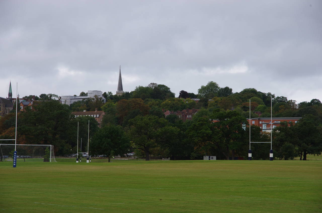
(5) View back from Harrow School Playing Fields
(6) The Ducker Footpath
(7) Northwick Park
(8) The Windermere, South Kenton
When Football Lane curves off to the right, the Capital Ring keeps ahead down Music Hill, passing the Harrow Music School on the way down to a carpark by the school's playing fields. From the carpark the route bears left along a gravel path then turns right on another under a line of trees with a good view back up the hill to the school buildings and the spire of the 11th-century St Mary's Church (picture 5). When the line of trees ends the route bears left across the grass to the corner of another playing field, where the only stile on the entire Capital Ring gives access to the A404 Watford Road.
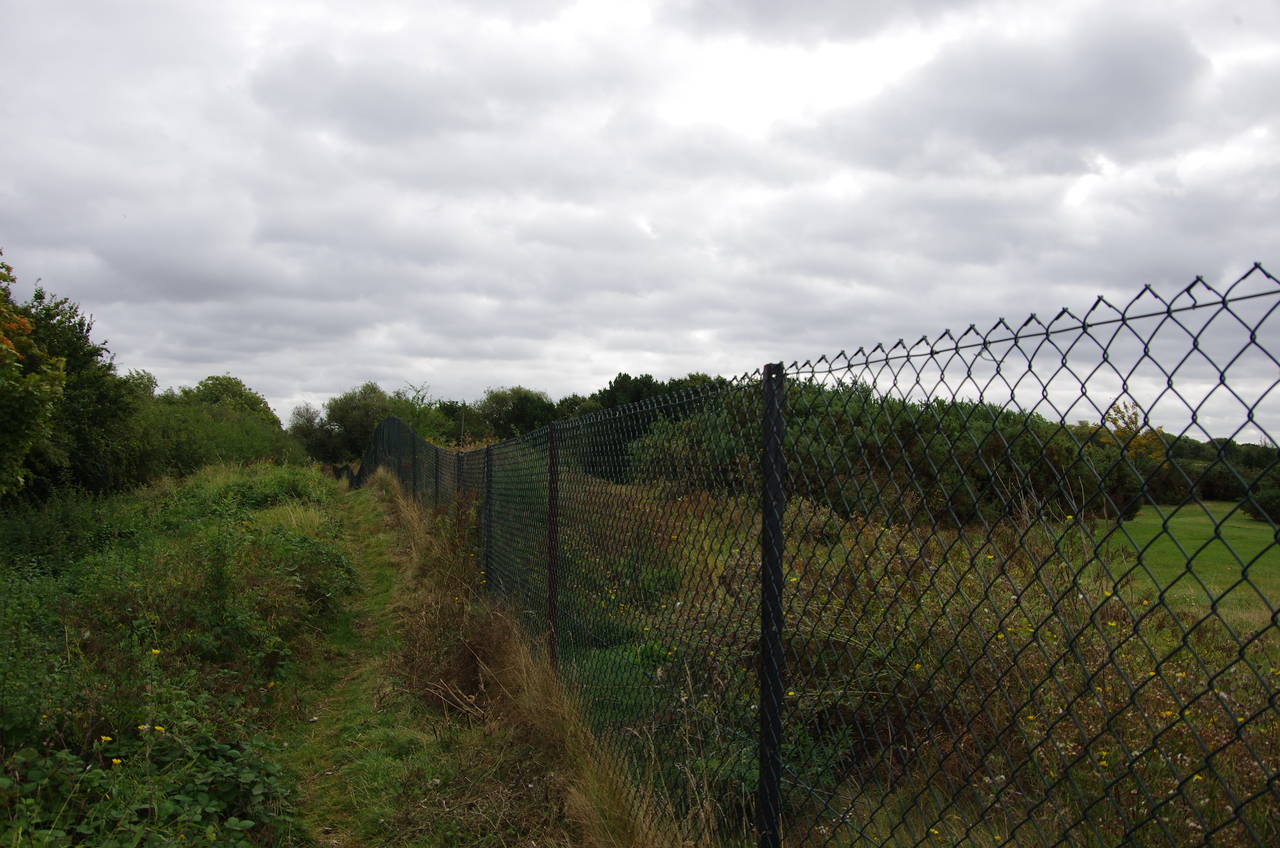
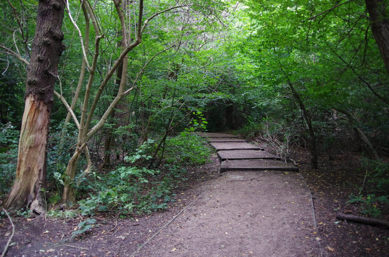
Crossing the road, and crossing the boundary between the boroughs of Harrow and Brent in the process, the Capital Ring continues ahead into scrubland on the rather overgrown Ducker Footpath, named after the Harrow School's former outdoor swimming pool. The path runs just outside the fenceline of the Northwick Park Golf Course on the right (picture 6), with the large Northwick Park Hospital occasionally visible through the bushes to the left.
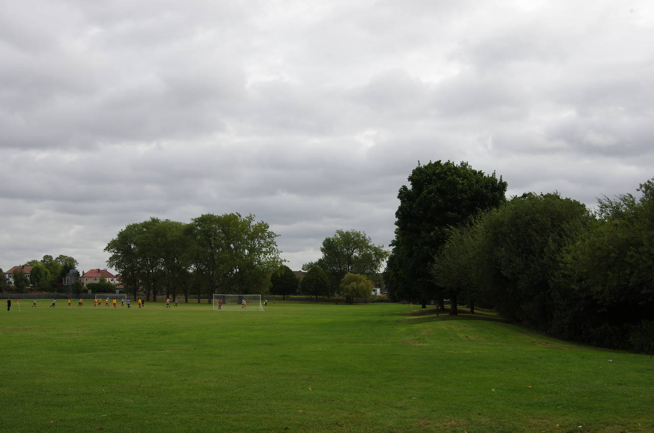
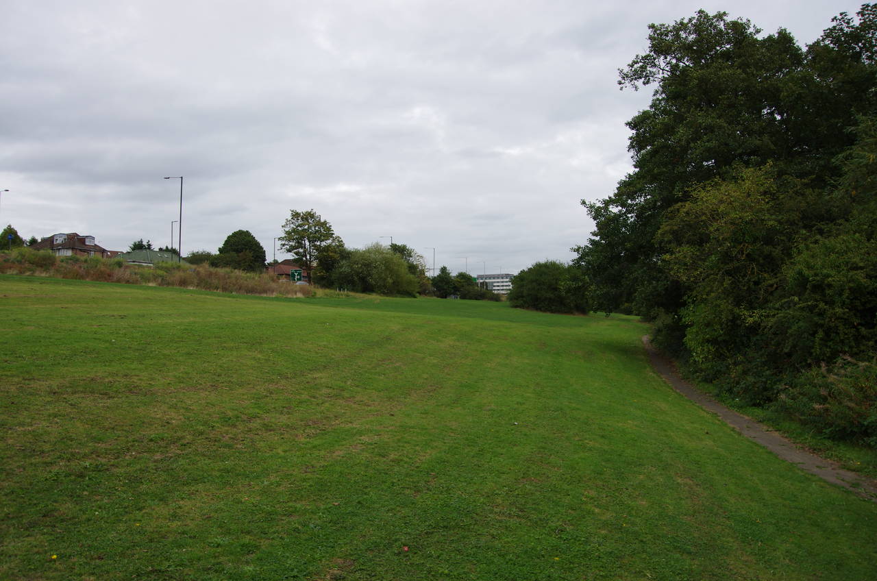
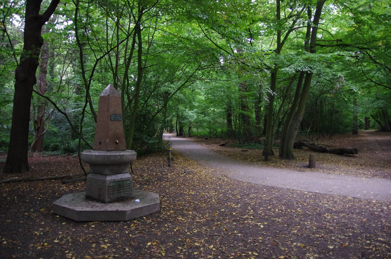
At the far end of the golf course, the Capital Ring turns left along the edge of the playing fields of Northwick Park (picture 7), turning left again at a main signpost near a park exit to follow the southern edge of the park (picture 7). Another exit just before the next corner of the park takes the Capital Ring a short distance down Nathans Road before the route turns left to pass through a subway under South Kenton Station, the tube's Bakerloo Line and the West Coast Main Line.
The latter runs from Euston Station up to Birmingham and on to Glasgow. Some years ago I was a member of a team of software engineers who worked on the West Coast Main Line's control system.
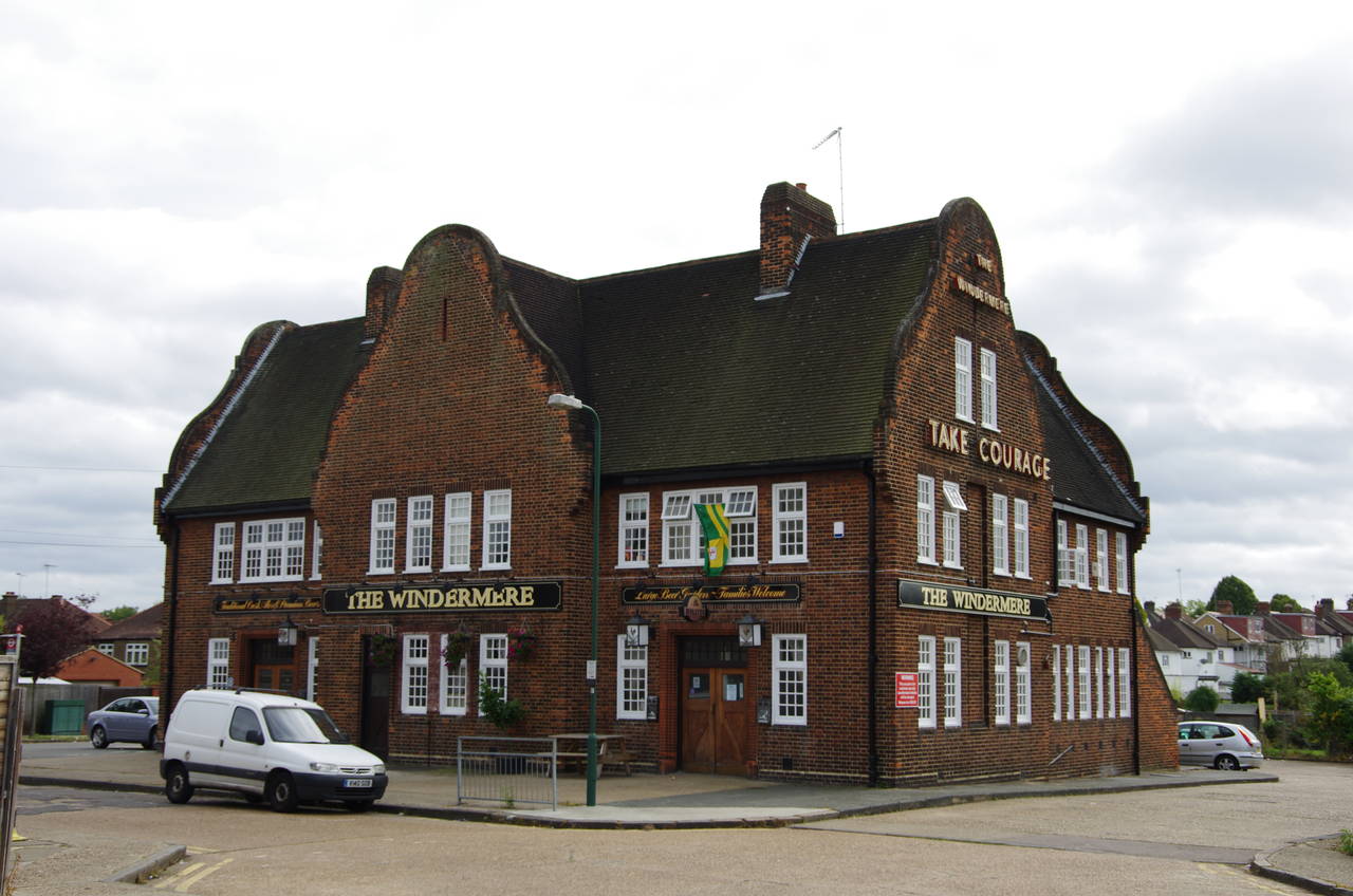
Coming out of the subway, the route bears right then left to pass the front of the Windermere pub (picture 8), then right again past the far side of the pub on Windermere Avenue and soon left into a quiet residential cul-de-sac called Allonby Gardens.
(9) Preston Park
(10) Barn Hill
(11) Barn Hill pond
(12) Barn Hill viewpoint
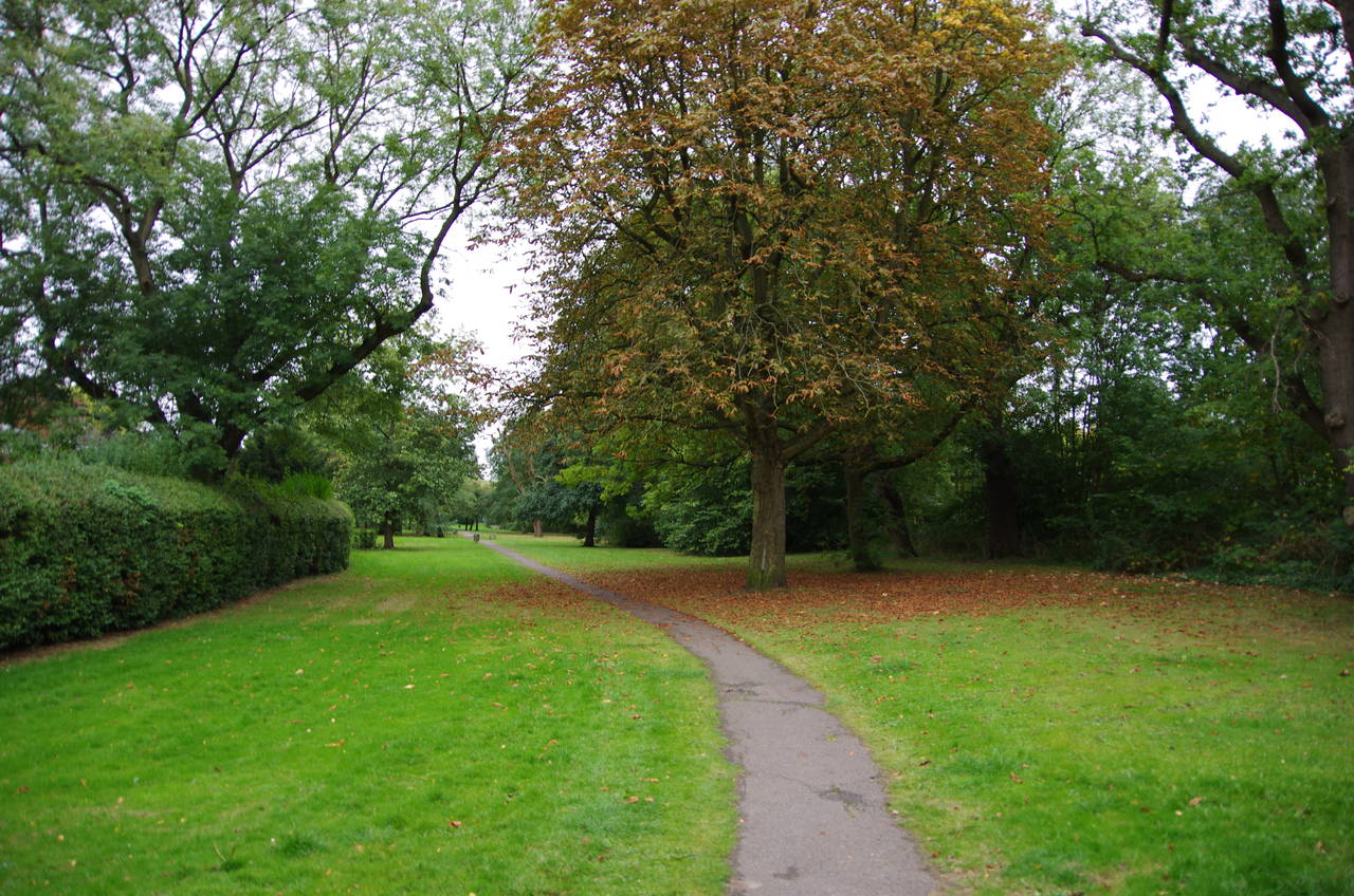
At the end of the street an alleyway between houses leads to Montpelier Rise. Crossing over and heading 50 metres to the right, the Capital Ring then turns left into Preston Park (picture 9). The route heads straight across the park with a bowling green and cricket field on the left and shady parkland on the right, emerging on the other side on College Road. Crossing over and turning right, the route passes the Preston Park Primary School before turning left into Glendale Gardens. At the far end, in quick succession, the Capital Ring turns left into Longfield Avenue, right into Grassmere Avenue, then left onto the busy Preston Road.
A bridge crosses the tube's Metropolitan Line by Preston Park Station before the Capital Ring crosses the road and heads into Uxendon Crescent. At the far end, the route crosses over The Avenue and then turns right to pass under the tube's Jubilee Line before turning left up Uxendon Hill, parallel with the line. Part of the way around a bend in the road, a path between houses takes the Capital Ring into woods on the edge of Fryent Country Park.
Emerging from the woods, the route follows the edge of a grassy meadow as far as a footbridge over the Jubilee Line. Rather than using the bridge, the Capital Ring instead turns right, heading away from the railway on a well-worn trail across the grass towards the woods of Barn Hill (picture 10).
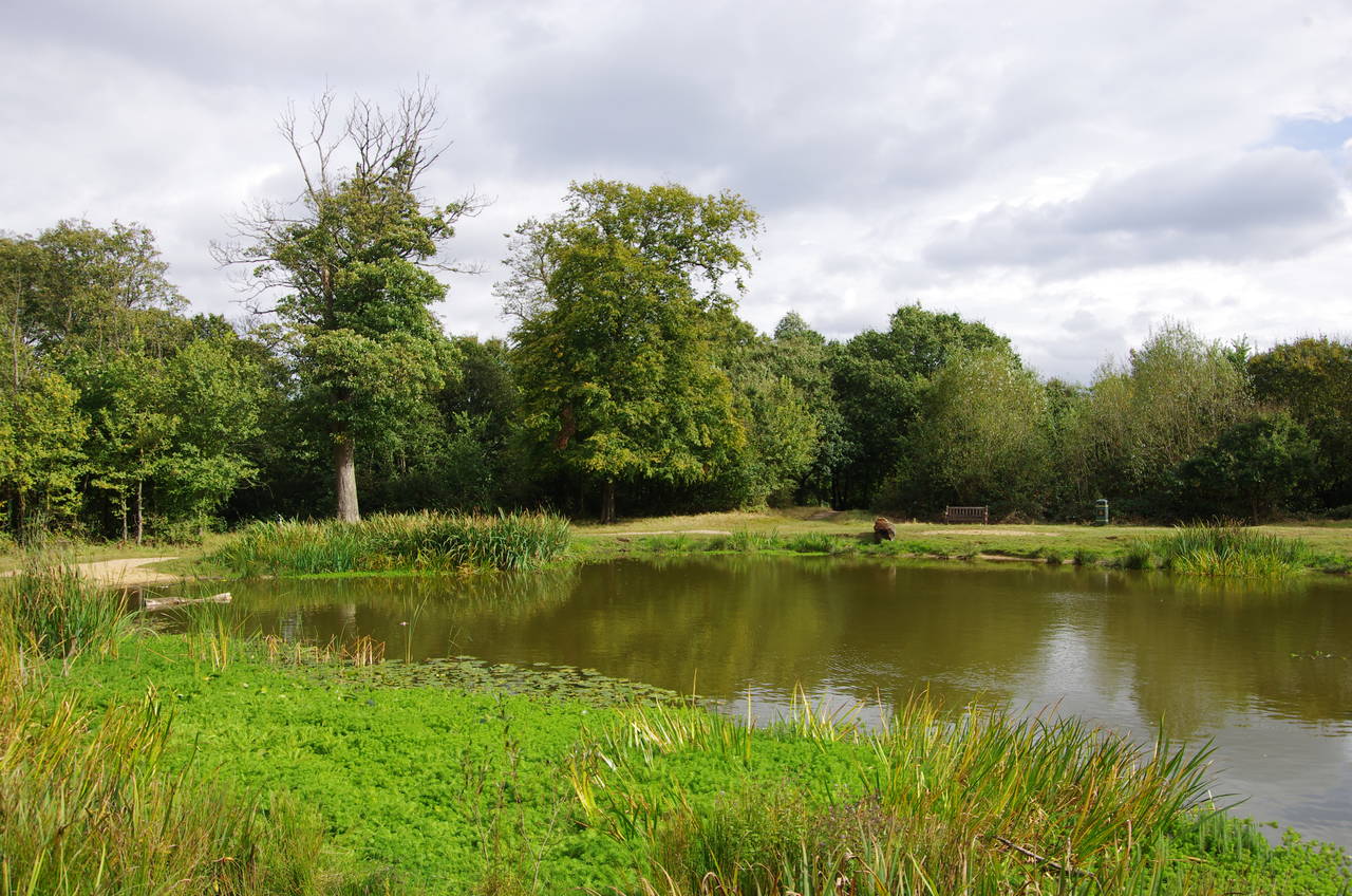
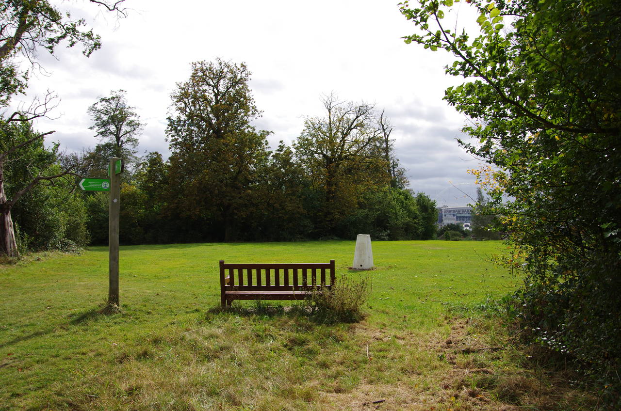
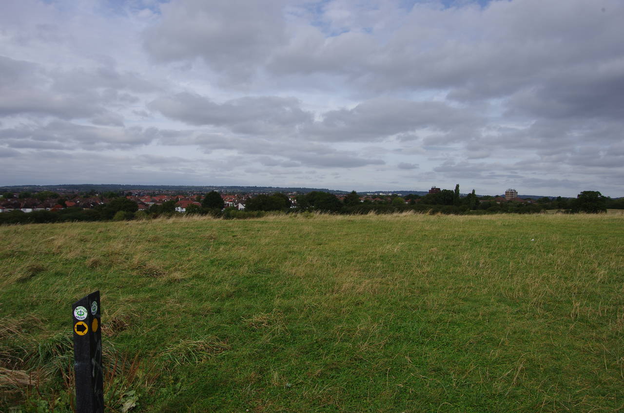
The path climbs up through the woods on an obvious path to a clearing with a large pond (picture 11). The path heads around the right-hand side of the pond to pass by a lookout where a white trig pillar marks the summit at 85 metres above sea-level (picture 12). A brief detour to the far edge of the viewpoint gives views of Wembley Stadium over the rooftops of Wembley Park, though I didn't manage to get a good picture.
(13) Fryent Country Park
(14) Gotfords Hill
(15) Arch of Wembley Stadium
(16) Parish Church of St Andrew, Kingsbury
The Capital Ring continues around the pond, almost completing a full circuit before heading back into the woods and descending steeply to the edge of a meadow and then turning right on a path just inside the trees to reach a carpark by the A4140 Fryent Way, which slices the country park in two.
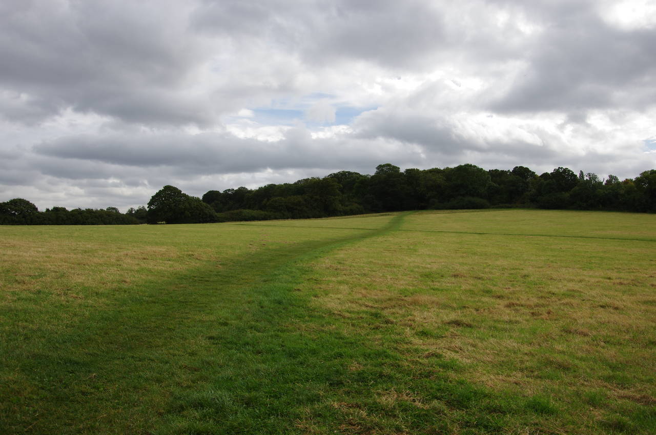
After crossing the road at lights the Capital Ring turns right beside the road for a few metres before turning left into the eastern half of Fryent Country Park. In contrast to the mostly wooded western half, on this side of the road the park is mostly open meadows enclosed by tall hedgerows (picture 13).
The Capital Ring follows a well-marked route through several of the meadows to reach a main signpost on the rounded top of the low Gotford's Hill, from which there are views across North London to the Chiltern Hills (picture 14).
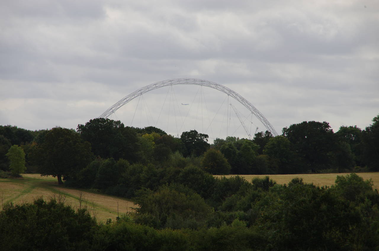
The signpost on the summit indicates a sharp right turn, heading back downhill through several more meadows with the 133-metre high arch of Wembley Stadium rising above the trees ahead (picture 15). Eventually the signposted route reaches the edge of the park beside a house on Salmon Street in Kingsbury.
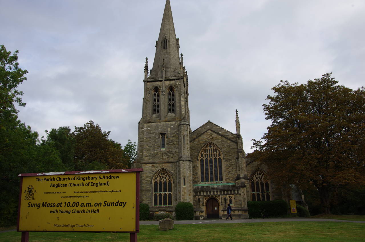
Another stretch of urban walking ensues, with the Capital Ring crossing the street and heading right, taking the second turn on the left into Lavender Avenue, the second right into Holden Avenue, and then another left into Dunster Drive to reach Church Lane. A short distance to the right the route crosses over the road at a refuge before continuing on to the Parish Church of St Andrew (picture 16).
The church was not originally built here, having stood in Marylebone for 84 years before being moved to Kingsbury stone-by-stone in the early 1930's. One can only imagine the enormous effort entailed in making such a move without losing any of the pieces.
(17) Old Church of St Andrew, Kingsbury
(18) Brent Reservoir
(19) Brent Reservoir
(20) Hendon Park
At a mini-roundabout in front of the church, the Capital Ring bears left into Old Church Lane, then turns left at the next junction, still on Old Church Lane. To the left, abandoned and now rather overgrown, is the much smaller original parish church (picture 17).
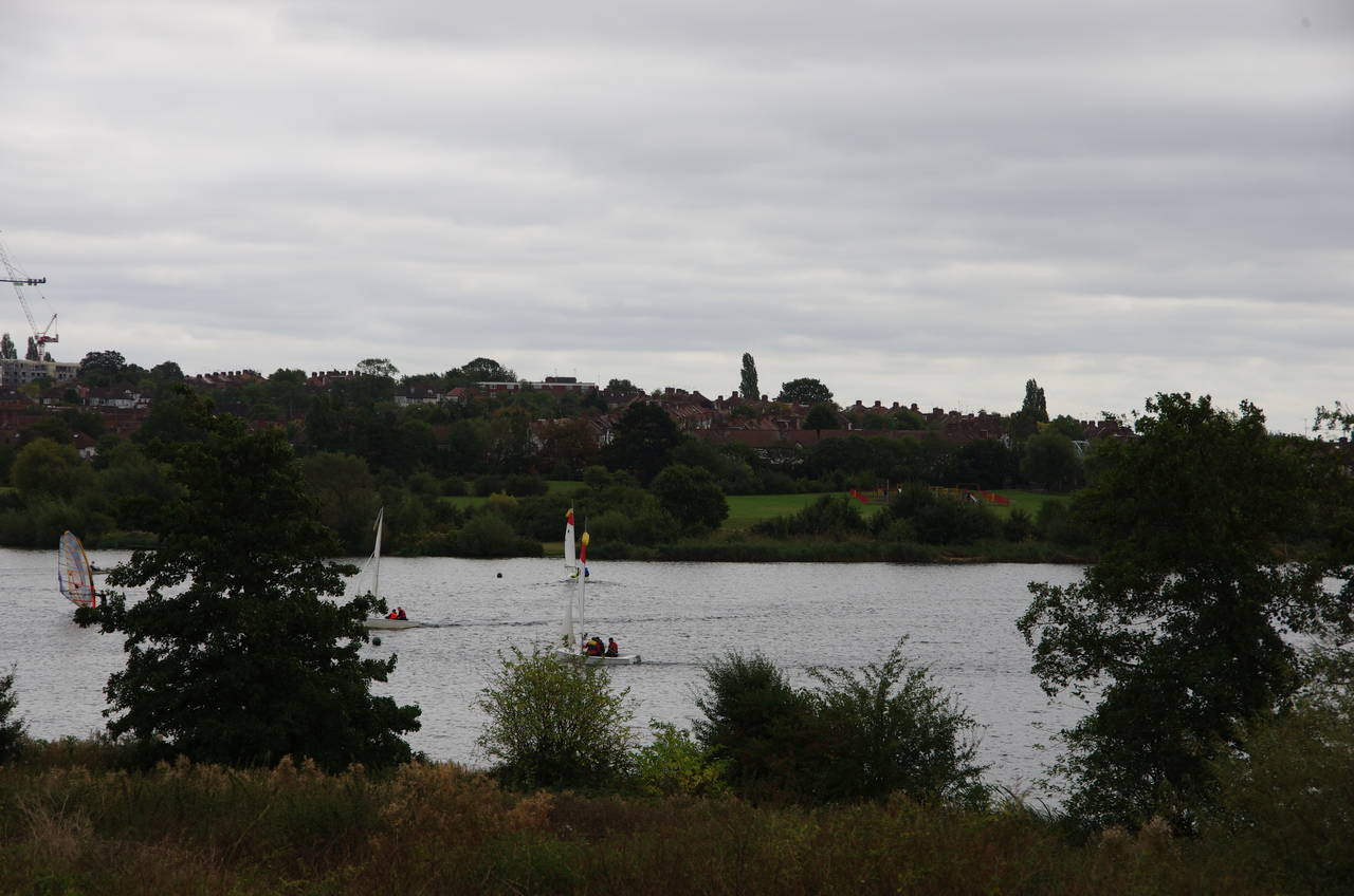
At the bottom of Old Church Lane, the route turns left on Birchen Grove, which soon bends right before ending by a carpark where the Capital Ring bears right on a tarmac path through the Welsh Harp Open Space, a little back from the edge of the Brent Reservoir (picture 18). The reservoir is one of the largest bodies of water in the London area. It was created in 1835 by damming part of the River Brent to guarantee water supply for the Grand Union Canal and was the site of the rowing events of the 1948 Olympic Games. Today it is a popular spot for small sailing boats, and a number of these were out on the water despite the weather having become quite gloomy again.
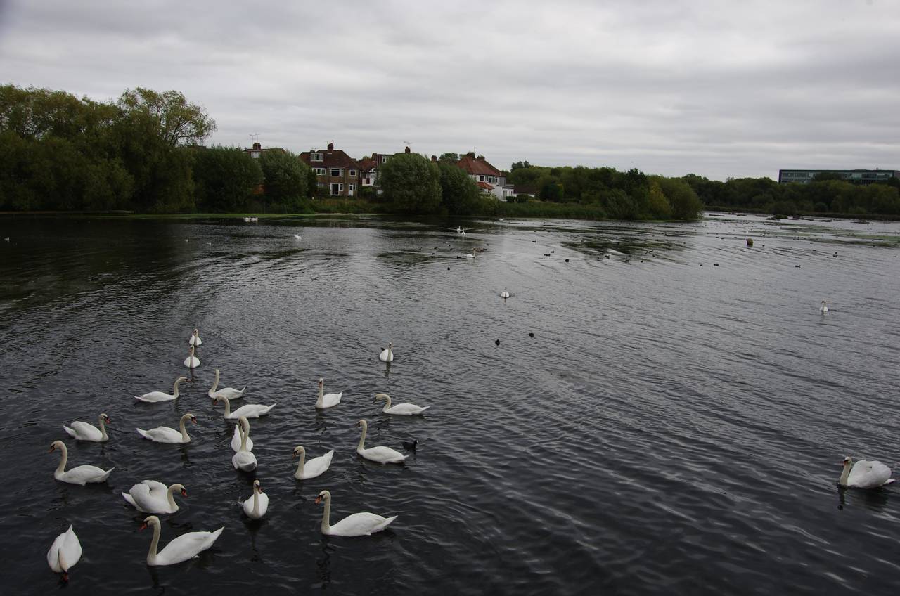
After about 400 metres the path heads through an area of tall bushes, temporarily losing sight of the water as the path crosses the boundary between the boroughs of Brent and Barnet. Further along, the path passes in front of the North Circular Sailing Club, where a large flock of swans were congregating (picture 19). After another 400 metres the path reaches Cool Oak Lane, bearing left to cross a very narrow road bridge over the neck of a smaller section of the reservoir. The bridge is so narrow that there is just room enough for one lane of traffic and no pavement, so one must use traffic lights to stop the traffic in both directions in order to cross over the bridge safely.
Cool Oak Lane is followed to the A5 West Hendon Broadway, which the route crosses over before jinking left then right to turn into Park Road, which provides a bridge over both the East Midlands Main Line and the M1 Motorway.
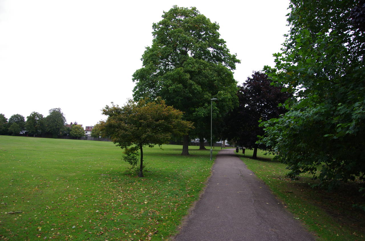
Park Road is followed for about a kilometre of rather mundane urban walking, eventually reaching the A41 Hendon Road. A pedestrain underpass to the left of the junction provides a way across, then the route continues in its previous direction along Beaufort Gardens. At the end, the Capital Ring takes a right turn into Cheyne Walk and just before the next junction turns left between houses and over a footbridge, crossing the Edgeware branch of the tube's Northern Line into Hendon Park (picture 20).
(21) Brent Park
(22) Path beside Mutton Brook
(23) Northway Gardens
(24) Lyttelton Playing Fields
The Capital Ring goes straight ahead on the tarmac path under a line of trees, reaching the corner of the park and continuing ahead on Shirehall Lane. The route takes the third street on the right, Shirehall Gardens, and at the end turns left on Shirehall Park, which bends left then right to reach the A502 Brent Street. Crossing over at a refuge, the route turns right towards an intersection with the A406 North Circular Road, reputed to be Britain's noisiest road, a claim which I could easily believe.
The Capital Ring turns left along the pavement beside the North Circular for a bit more than 100 metres before a gate leads into Brent Park, a long narrow stretch of woodland that follows the course of the River Brent (picture 21) beside the North Circular Road. Despite the traffic roaring by just a few metres away, the park seemed to have plenty of wildlife, including several grey squirrels dashing about in the undergrowth.
After passing by several ponds, the winding tarmac path comes up out of Brent Park at Bridge Lane. About 50 metres to the left on the other side of the lane another tarmac path leaves the road. In another 50 metres the path reaches the point where Dollis Brook and Mutton Brook join to form the River Brent.
The Capital Ring turns right to follow Mutton Brook, but rather inexplicably I completely failed to notice a very obvious signpost and continued ahead beside Dollis Brook. I managed to get myself almost a kilometre along the pleasant and shady Dollis Valley Greenwalk before realizing that I hadn't seen any Capital Ring signposts or waymarkers for a while and upon checking my GPS I discovered that I had been walking north when I should have been going east. Feeling a bit sheepish I turned around and backtracked to the correct turn, having lost almost half an hour, but noting that it would be worth walking the Dollis Valley Greenwalk one day.
The Capital Ring follows Mutton Brook, going through a tunnel under the North Circular Road before a long stretch parallel to the road but mercifully a little downhill from it (picture 22). The path pops up briefly to cross over Finchley Road before returning to the bank of the brook, which eventually curves away from the North Circular Road to meet Addison Way. Following the street to the left leads to a pavement beside the parallel A1 Falloden Way, which is followed for a short distance, crossing Mutton Brook before the Capital Ring turns right into Northway Gardens (picture 23). The gardens are part of the Hampstead Garden Suburb, an early 20th-century model community and now one of the more affluent parts of London.
The Capital Ring follows a tarmac path through the long park, with Mutton Brook running alongside in a sleeper-lined channel to the right. The route crosses over a street called Northway before heading through a second, shorter section of Northway Gardens with Mutton Brook still in its neat channel just to the right of the path. Reaching Kingsley Way, the route crosses over, turning right over the brook then left into the Lyttelton Playing Fields (picture 24). Skirting around the left-hand edge of the fields the Capital Ring comes out onto a road called Norrice Lea.
(25) The Archer, East Finchley Station
(26) Cherry Tree Wood
(27) Grey squirrel, Cherry Tree Wood
(28) Highgate Wood
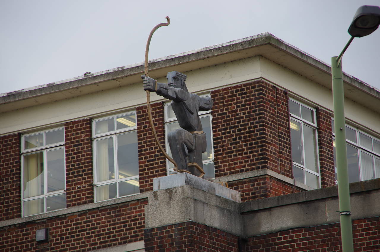
Turning left along Norrice Lea, the Capital Ring soon reaches the A1 Lyttelton Road, crossing at lights before bearing right on Vivian Way. At the far end of the street, the route turns left into Deansway then right into Edmund's Walk which leads up to the back of the East Finchley tube station. A path on the right leads to a subway under the station and out to the A1000 Great North Road in front of the station. Atop the station building, a statue called The Archer aims his arrow down the line towards central London (picture 25).
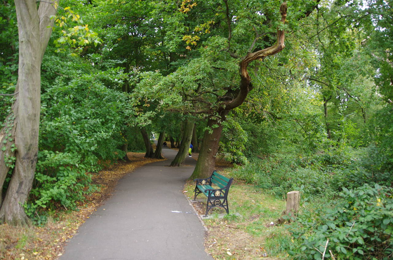
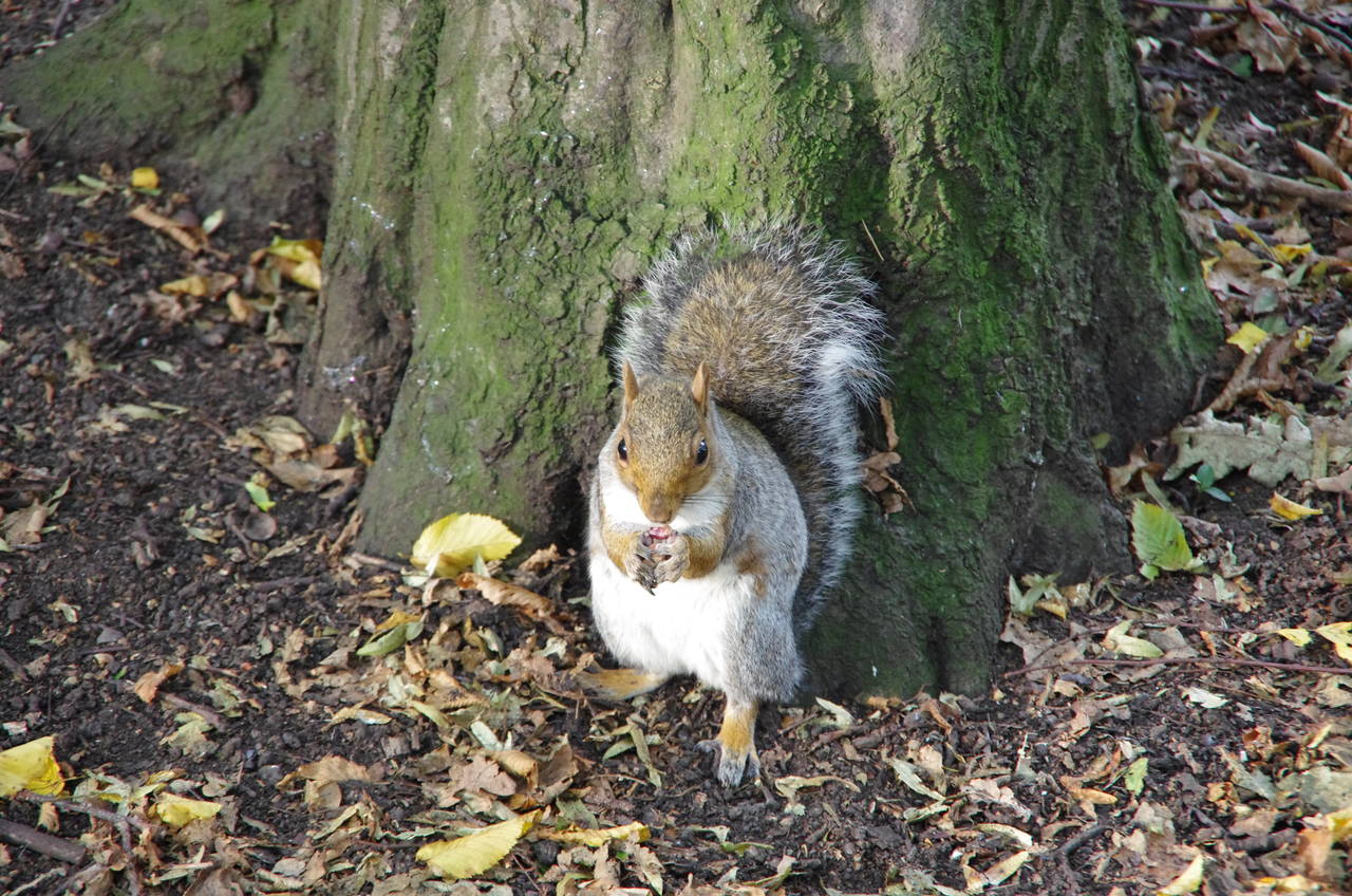
Across the road from the station, the Capital Ring joins a tarmac path starting just next to the railway bridge, heading through the pleasant Cherry Tree Wood (picture 26), where I encountered more grey squirrels, and this time one stayed still long enough for a photo (picture 27).
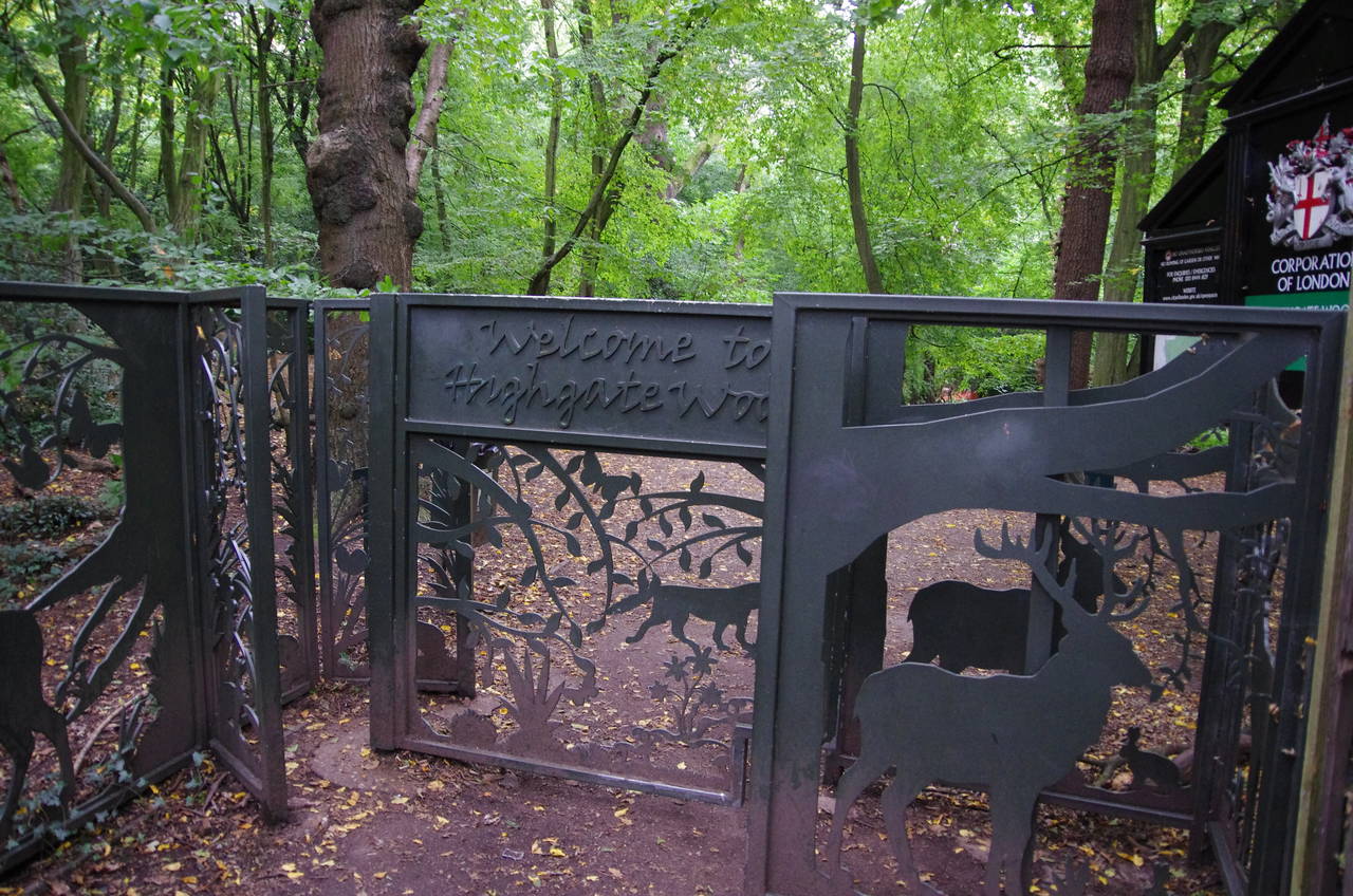
The path emerges from the wood beside some tennis courts belonging to the recreation ground that adjoins the wood. Passing into the borough of Haringey, the path continues between houses then ahead on Fordington Road to a mini-roundabout. The route crosses over Woodside Avenue at a refuge to the left of the roundabout and goes about 50 metres along Lanchester Road before a path on the left heads into Highgate Wood, climbing up over a disused railway embankment before going through the rather fancy Bridge Gate (picture 28).
(29) Highgate Wood
(30) Drinking fountain, Highgate Wood
(31) Queen's Wood
(32) Priory Gardens, Highgate
A well-signposted route heads roughly south-east through Highgate Wood on broad tracks (picture 29). About halfway through the wood the path passes by a stone drinking fountain installed in 1888 (picture 30) and a little later by a small metal plaque commemorating the official opening of the Capital Ring. It reads "The Capital Ring was launched here on 21st September 2005 by Jenny Jones, Green Party member of the London Assembly and the Mayor's Walking Advisory Panel"
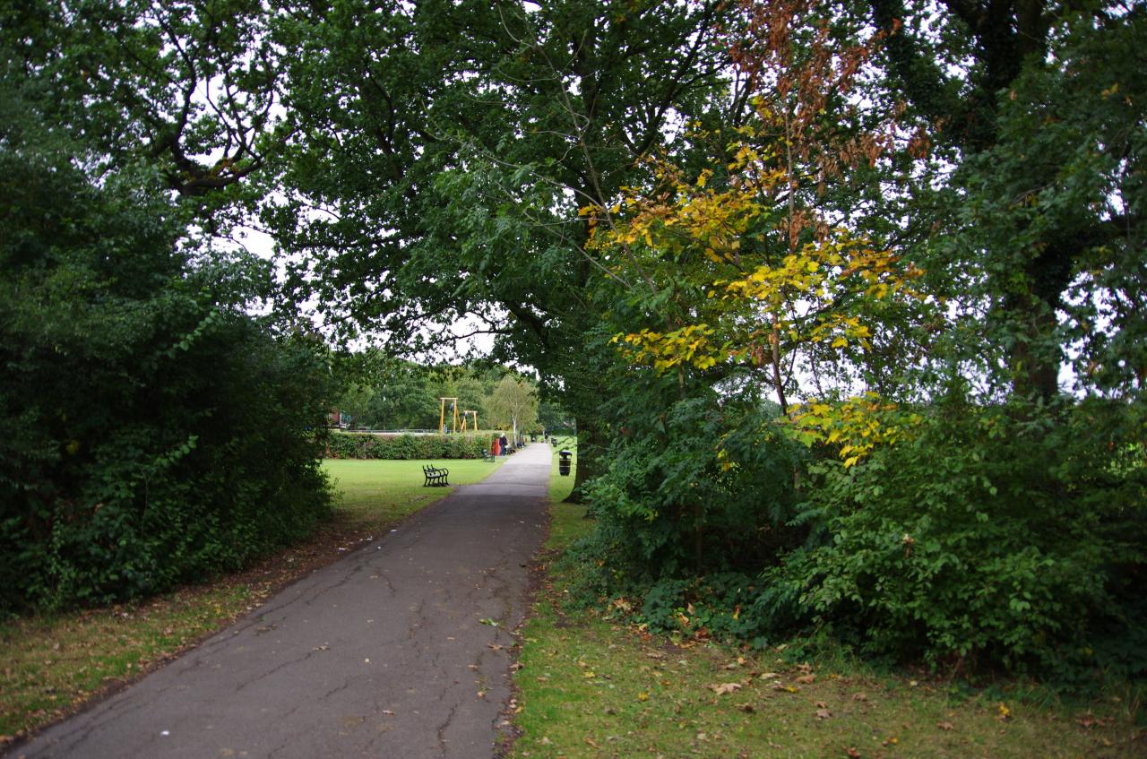
Passing through the New Gate, the Capital Ring crosses over Muswell Hill Road and into Queen's Wood (picture 31), where the path continues in a generally south-easterly direction. In contrast to Highgate Wood, the path through Queen's Wood is a little more strenuous, with quite a few ups and downs before the path crosses over Queen's Wood Road and negotiates one more hillock before climbing between houses to emerge on a quiet residential street called Priory Gardens (picture 32), turning right. About 200 metres along on the left, a Capital Ring signpost points up a path between houses, but that would have to wait until tomorrow. Instead I continued another 100 metres to the end of Priory Gardens in the forecourt of Highgate tube station.
My GPS showed that I had completed another 23.8 kilometres of the Capital Ring, not counting the additional 1.8 kilometres of my wrong turn along Dollis Brook.