THE SAXON SHORE WAY
Stage 13: Hamstreet to Rye
Wednesday, March 2nd 2011
(1) B2067, Hamstreet
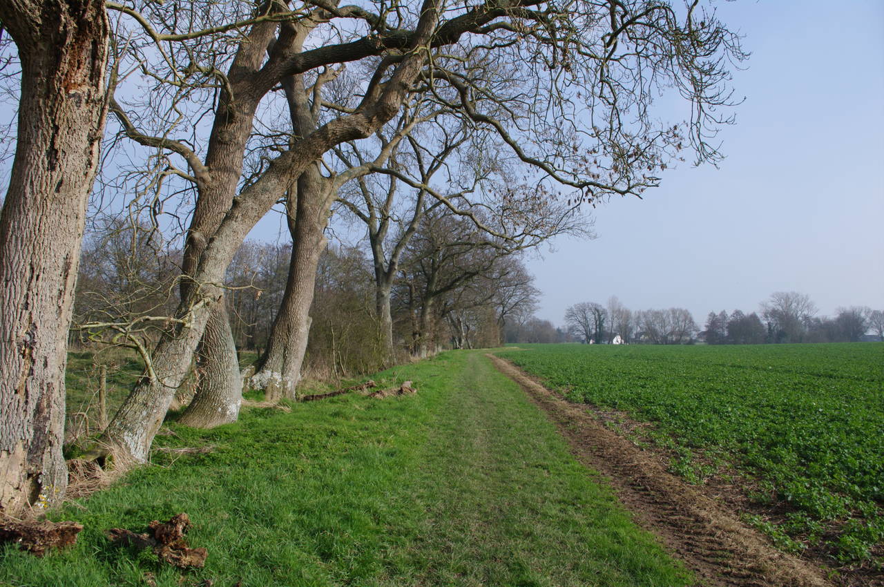
(2) Field near Hamstreet
(3) Approaching Warehorne
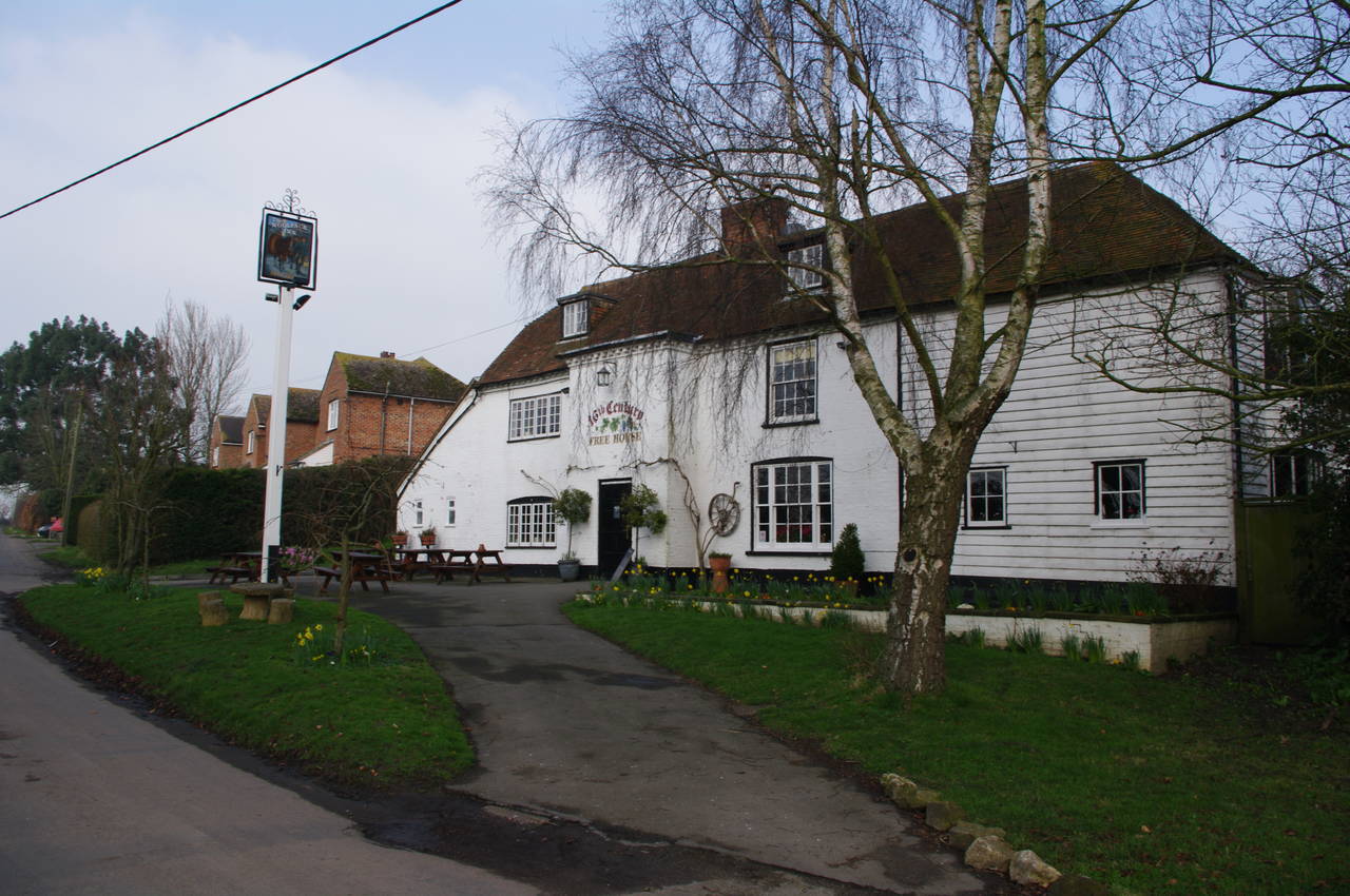
(4) Warehorne
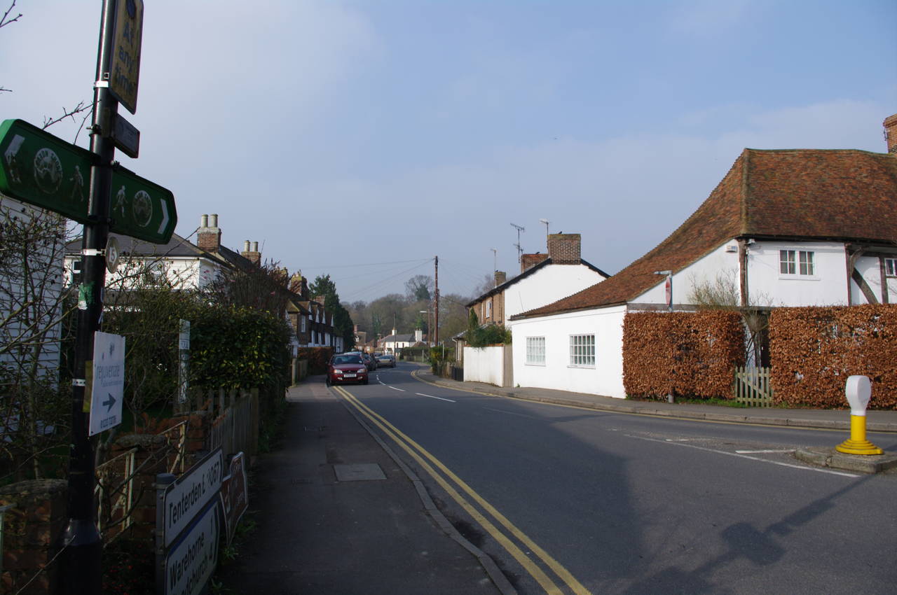
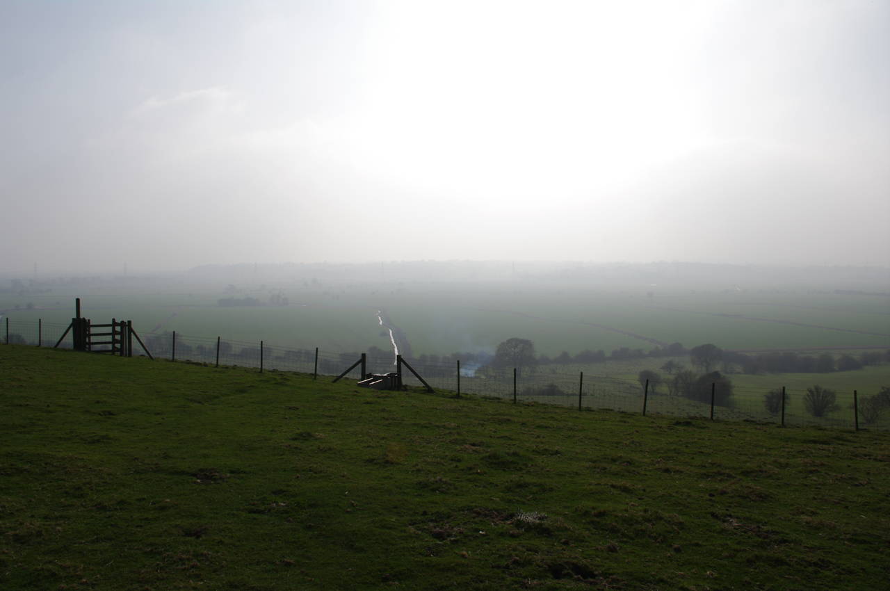
Arriving at Hamstreet Station slightly before 9AM, I headed downhill into the town, a short distance past the Dukes Head pub where I previously left the Saxon Shore Way and purchased some supplies at the small supermarket before heading back to the pub and rejoining the route, which heads west along the B2067 (picture 1).
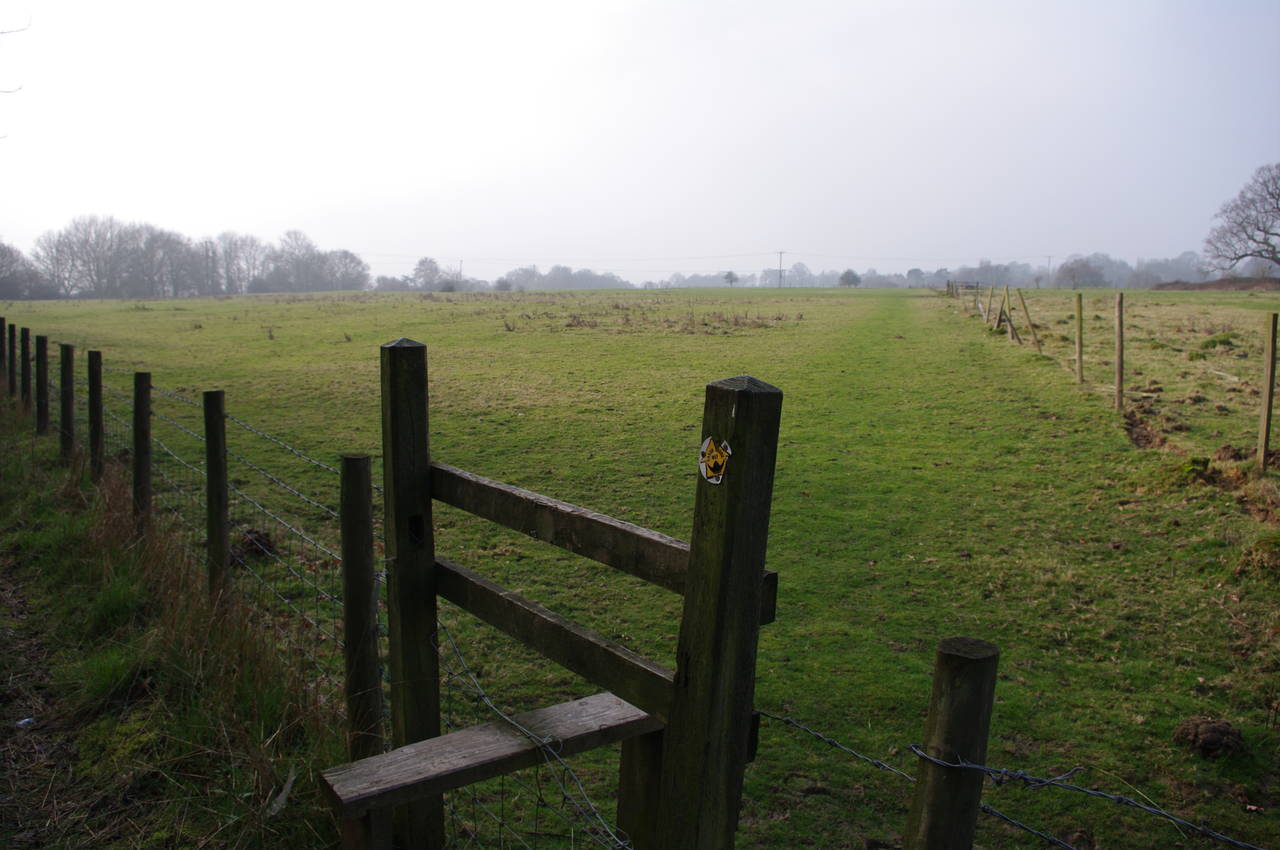
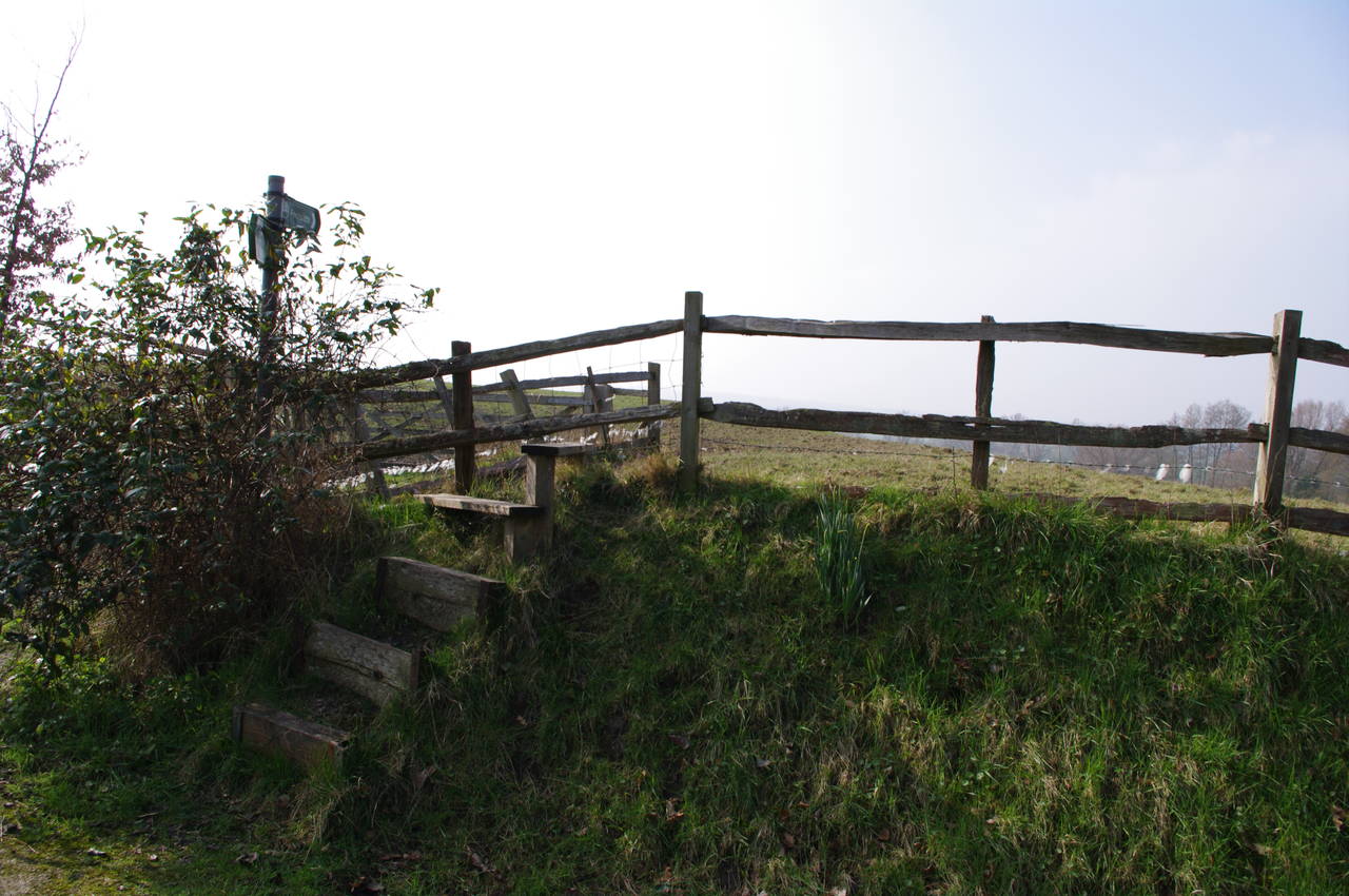
The road soon passes under the railway line, and then under the A2070, just after which a stile on the left leads up some stairs to a second stile and a gravel footpath that runs parallel to the A2070 for a short distance before another stile takes the route off to the right at a 45 degree angle (picture 2). Once I was out of the shelter of the line of trees beside the A2070 it became apparent that this was a very windy day, and I presumed that the high winds were responsible for the hazy views that would persist throughout the day.
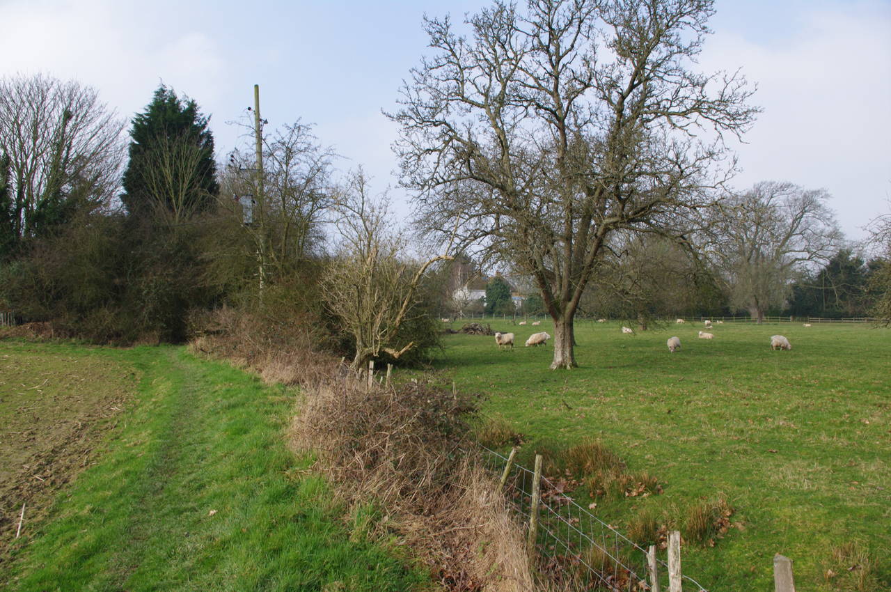
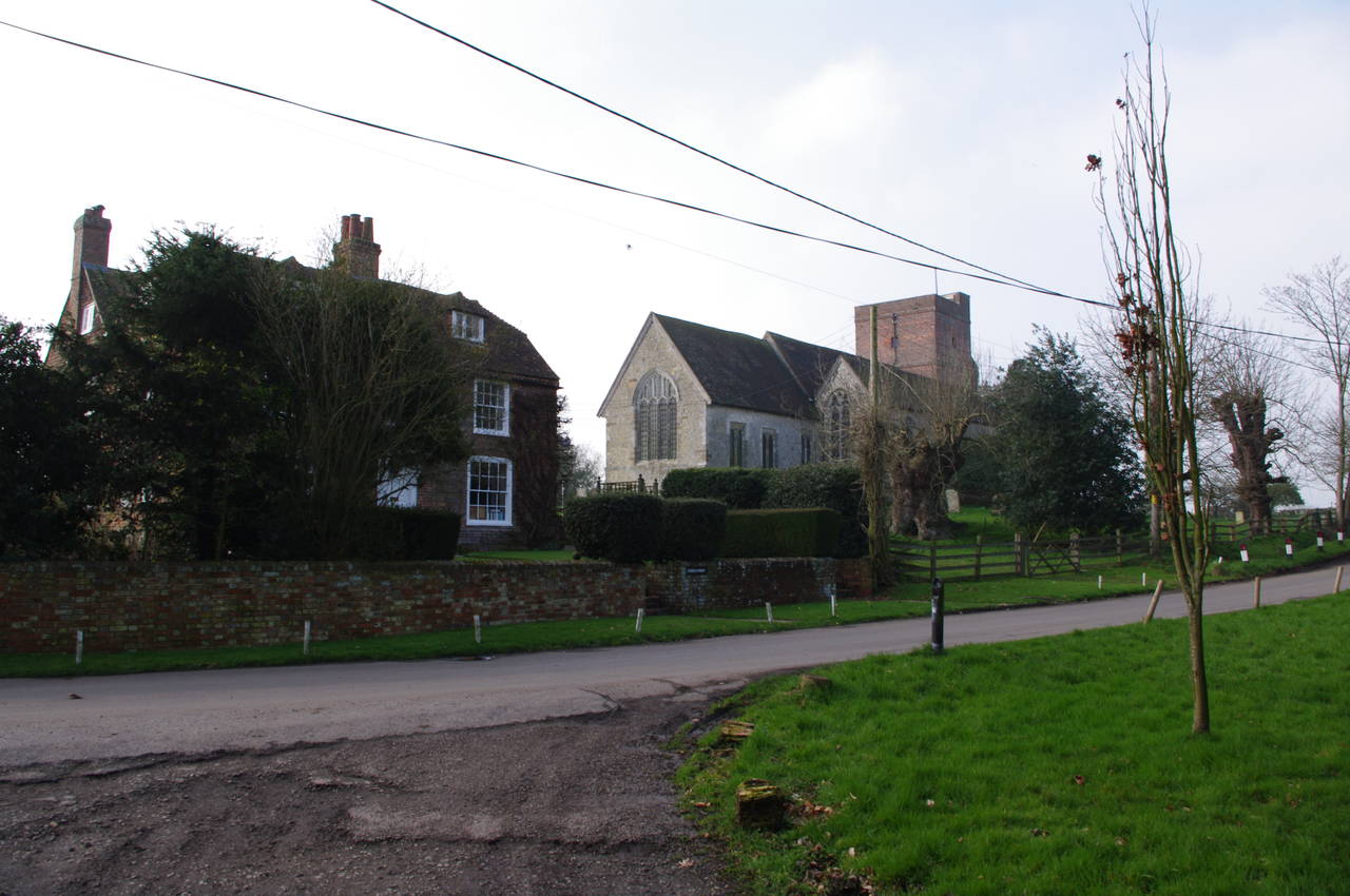
The trail heads in a fairly straight line across several fields with stiles and kissing gates at the boundaries between them. As the route approaches the village of Warehorne, the route follows the edge of a field around to the right and over a stile that is well hidden in the trees just to the left of the telegraph pole in picture 3. Once over the stile the path quickly reaches a minor road, which is followed to the right, passing the village church (picture 4).
(5) The Woolpack Inn, Warehorne
(6) Tinton Manor Farm, Warehorne
(7) Bridge over Horshmarsh Sewer
(8) St Mary's Church, Kenardington
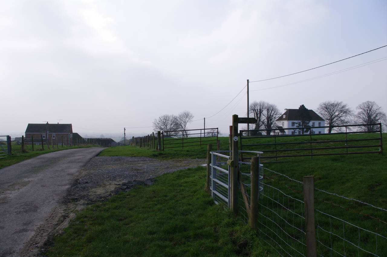
A short way beyond the church, the road passes the Woolpack Inn pub (picture 5), which dates from the 1500's. A little further along the road, a marker post on the right points along a road to the left towards Tinton Manor Farm. A very short distance along this road, another marker post points through a metal kissing gate on the right (picture 6).
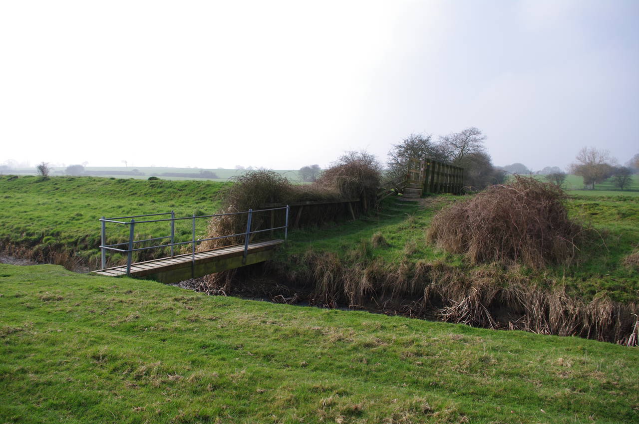
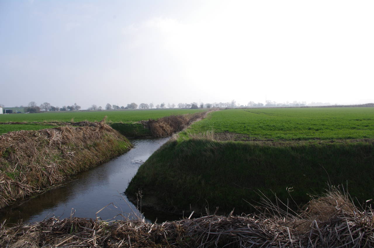
From here the route heads across the middle of two large fields, gradually losing height once in the second field. A marker post under some trees on the far side of the second field points off to the left at about 45 degrees and downhill across two more fields. The marker post on the boundary between these fields had fallen over but the route continues in a straight line to cross three parallel drainage ditches, the larger of which is known as Horshmarsh Sewer (picture 7).
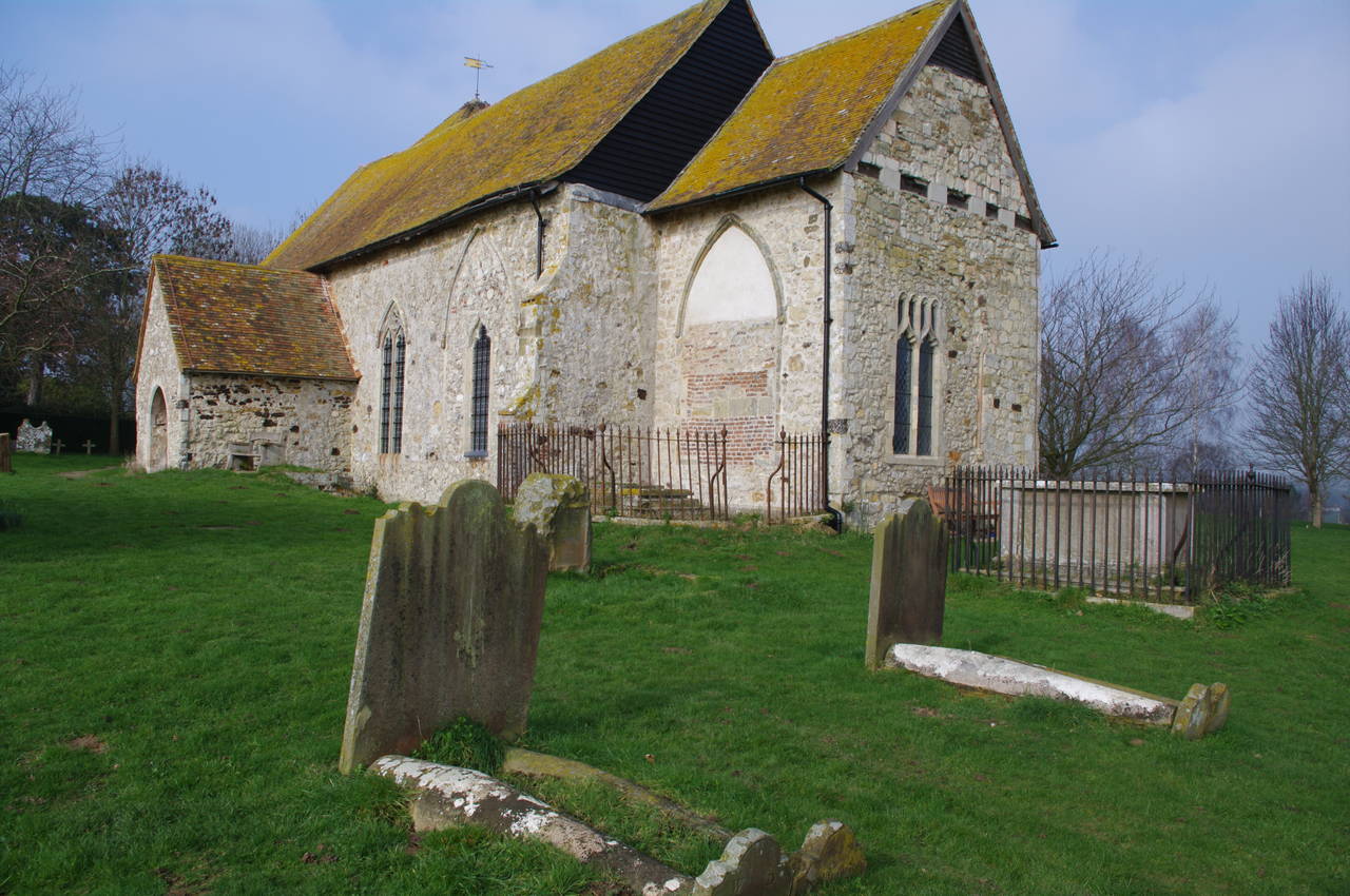
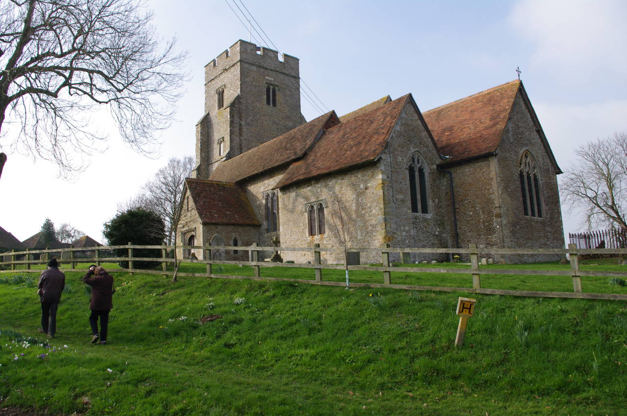
The path then starts climbing gently, crossing two more fields to enter the churchyard of St. Mary's (picture 8), which belongs to the village of Kenardington, though the rest of the village is located about a kilometre to the north.
(9) Field near Kenardington
(10) Vineyard
(11) Small hill above Appledore
(12) Appledore Recreation Ground
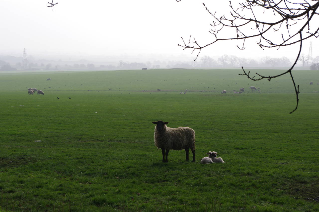
Leaving the churchyard via a kissing gate on the left, the route skirts around the edge of a pasture to meet a minor road. In the pasture a ewe was standing by a pair of lambs (picture 9).
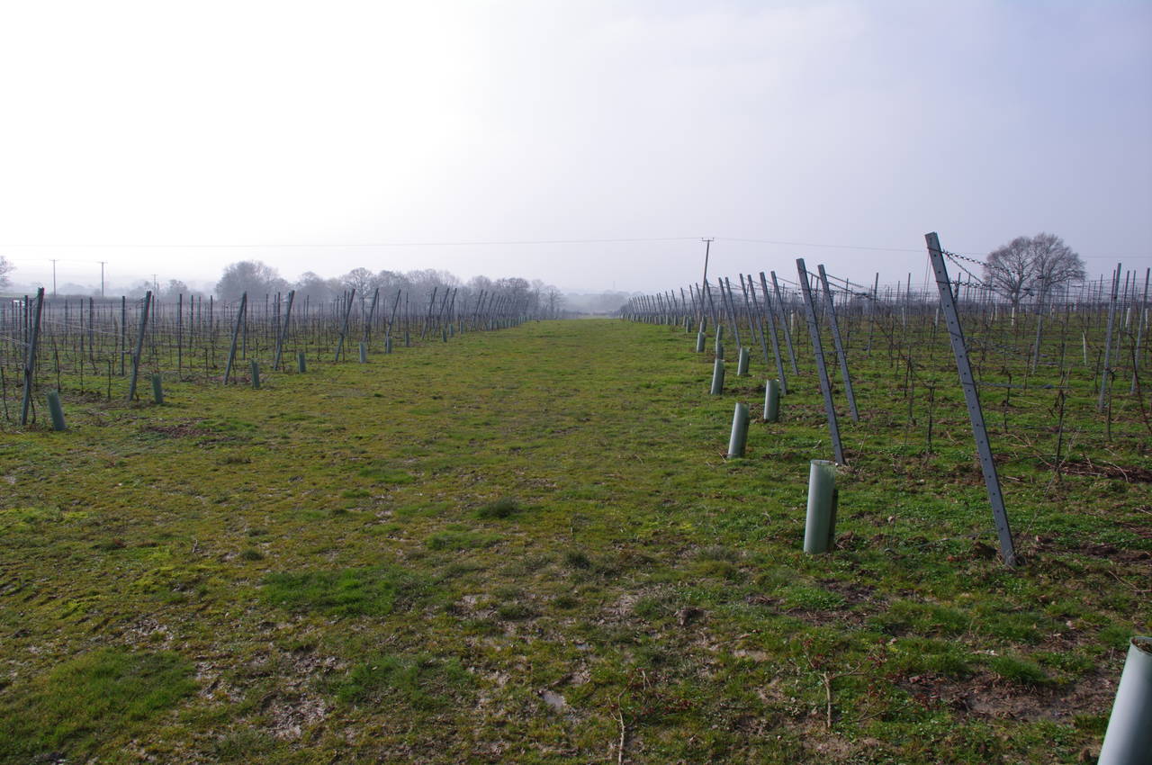
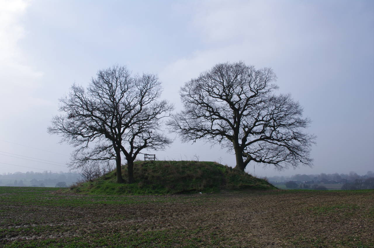
Across the road, the route crosses several more fields and then heads through the middle of a vineyard (picture 10) near Smith's Farm. On reaching the other side of the vineyard, the route crosses another minor road and follows a well-worn footpath, climbing gently across a series of large fields, eventually reaching the curious little hill shown in picture 11. The route goes right over the middle of the hill, which has a wooden seat where one can sit and admire the views in all directions. Unfortunately, the strong, cold winds which had been blowing all morning were particularly biting up here, so I quickly took a couple of photos and continued on my way.
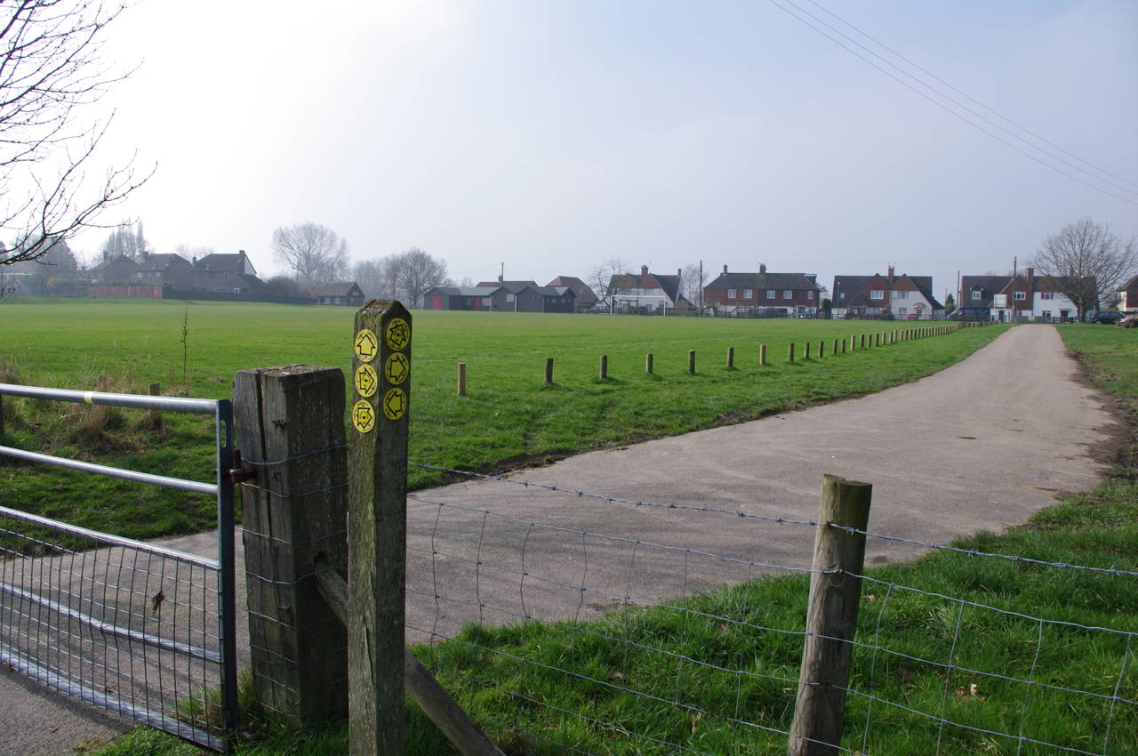
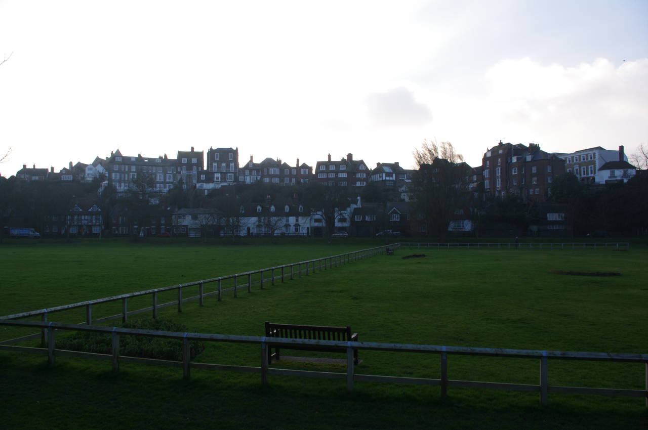
The trail runs diagonally off to the right across several more wide open fields before reaching a recreation ground at Appledore (picture 12). The waymarkers point diagonally across the middle of the soccer pitch, which I thought was a bit strange as the route obviously cannot be followed when the pitch is in use.
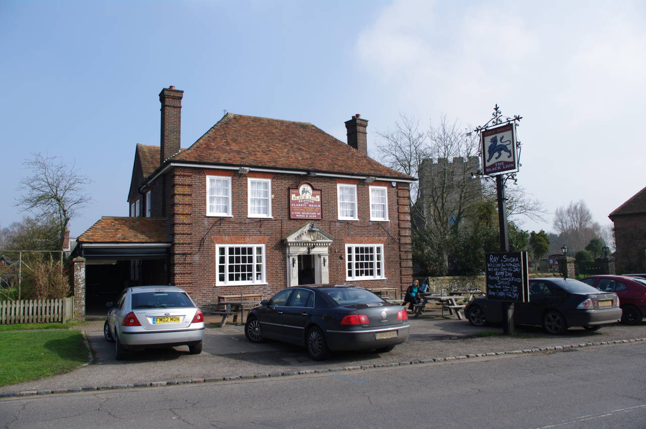
(13) The Black Lion, Appledore
(14) Route leaves Court Lodge Road
(15) Fields near Appledore
(16) Stone Ferry Bridge
Having crossed the recreation ground, the Saxon Shore Way follows the B2080 through Appledore until the route turns to the right, opposite the pub and church (picture 13), to head along Court Lodge Road. About two hundred metres along the road, the route leaves the road via some wooden steps about ten metres up a driveway. This turning is quite easy to miss as the signpost is strategically hidden in a tree (picture 14).
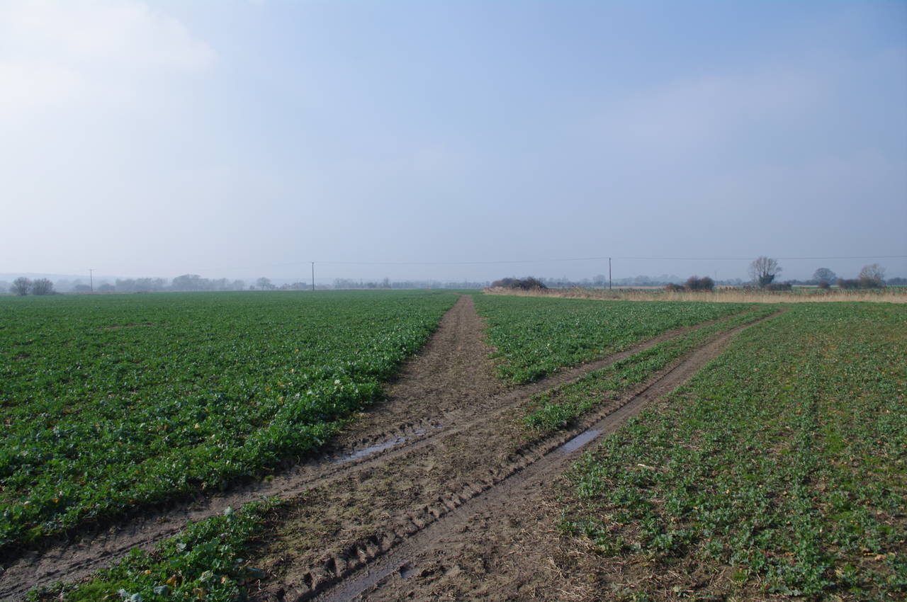
The route heads over a hill, which would have had good views over Romney Marsh as the land drops away ahead, had there not been so much haze to obscure the view. At the foot of the hill the path crosses a stile and begins to follow a well-worn footpath across flat fields where some kind of leafy crop had reached a height of about three inches (picture 15).
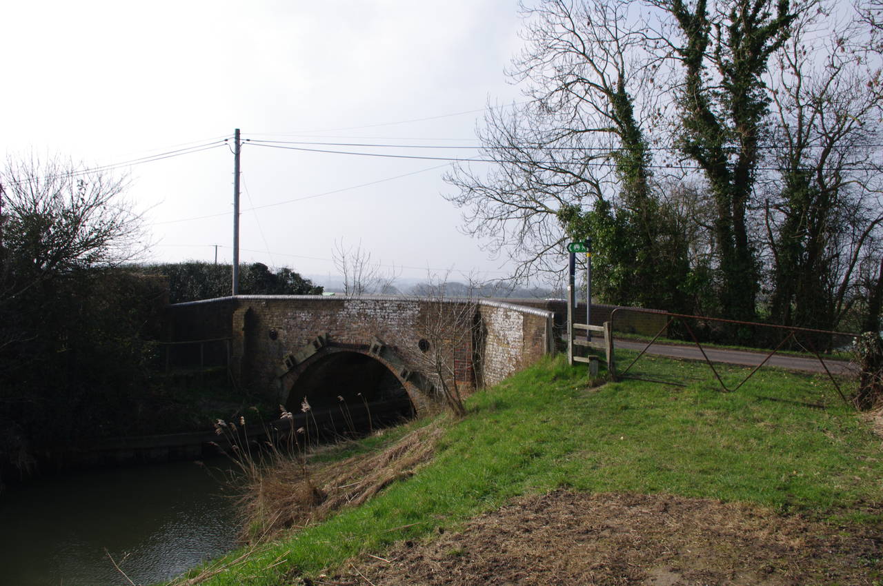
Before long, the path starts to run beside a waterway marked on my map as Reading Sewer, and about six hundred metres later the path reaches the Stone Ferry Bridge (picture 16), by which the route crosses Reading Sewer.
(17) The Ferry Inn
(18) Approaching Stone-in-Oxney
(19) Stone-in-Oxney
(20) St Mary's Church, Stone-in-Oxney
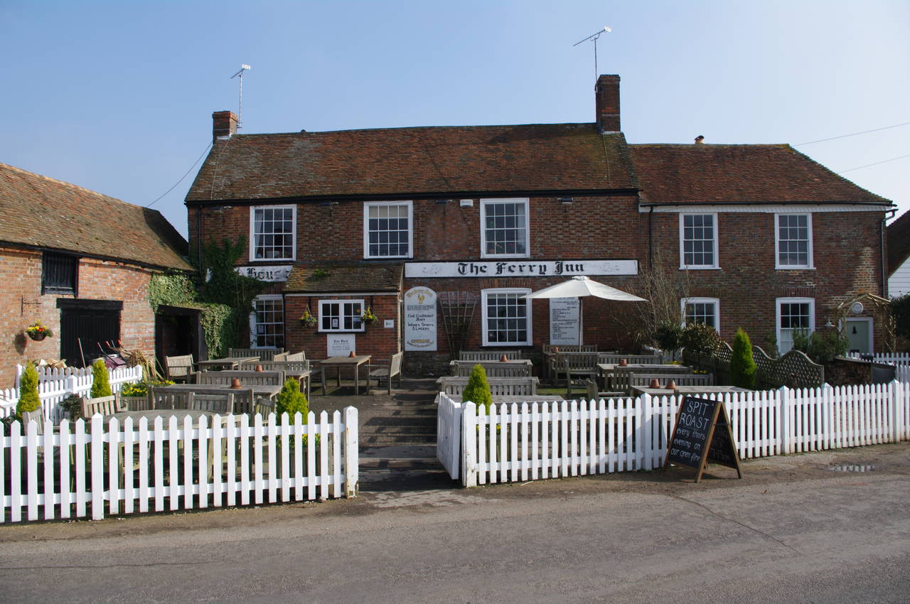
Next to the bridge is the Ferry Inn (picture 17), where I stopped for an hour for lunch and a pint of Westerham's Oxney Ale. On the front wall of the Inn a sign listing tolls for various kinds of animals and vehicles to use the Oxney Ferry, which was presumably replaced by the bridge.
Leaving the pub, the Saxon Shore Way crosses the road, heads through the pub's car park and continues to follow the Reading Sewer until it reaches the Ebony Pumping Station, where the route leaves the Reading Sewer and follows the right bank of the drainage ditch that emanates from the pumping station. The ditch is followed until a bridge carrying a concrete farm track over the ditch is reached. The route turns left across the bridge and follows the track around the edge of a field, past some farm buildings and up to a road.
The route continues straight ahead across the road for a short distance before turning left across a plank bridge and following a grassy path along the edge of a field with the town of Stone-in-Oxney visible in the distance (picture 18). When the grassy path ends, the route bears diagonally right, across the rest of the field, emerging onto Appledore Road at a T-junction (picture 19), which the route crosses to continue straight ahead along Church Hill. The road climbs steadily, bending around two sides of St Mary's Church (picture 20), then continuing along the road to a T-junction at the end of Church Hill.
(21) View from Stone Cliff
(22) Drainage ditches, Romney Marsh

(23) Kent/Sussex County Boundary
(24) East Sussex Waymarkers
At the junction, the Saxon Shore Way goes straight ahead through a metal kissing gate and along the right edge of a field, then heads diagonally left across the next field to a wooden gate at the top of Stone Cliff, where there were hazy views over Romney Marsh as the land drops away steeply (picture 21).
The path descends Stone Cliff diagonally to the left to reach a wooden gate as the land levels out, then heads almost directly south across the flat fields of Romney Marsh. The fields are criss-crossed by drainage ditches (picture 22) and the path follows one for a while, then joins a rough dirt road. When the road curves to the left around a small brick hut, the path continues heading south across the fields to another drainage ditch. A bridge over the ditch, which runs parallel to Military Road marks the county boundary between Kent and East Sussex (picture 23).
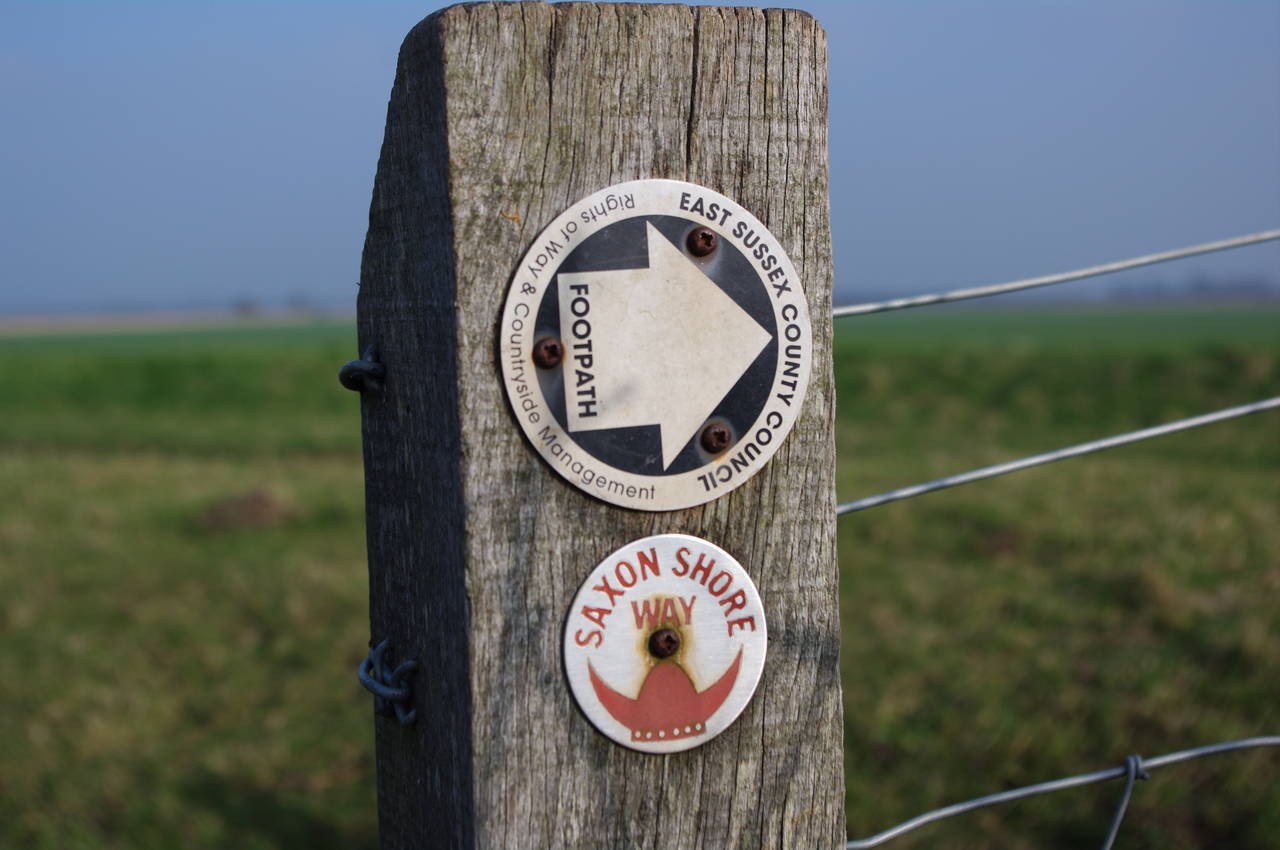
Across the road, a stile bearing the first East Sussex waymarkers (picture 24) of the walk leads up onto the raised bank of the Royal Military Canal. The East Sussex waymarkers are different from those in Kent, having generic directional footpath markers accompanied by smaller metal discs bearing the logos of the long distance paths that use those footpaths. Thus the markers in the picture indicate that the Saxon Shore way goes to the right, along the bank of the canal.
(25) Royal Military Canal
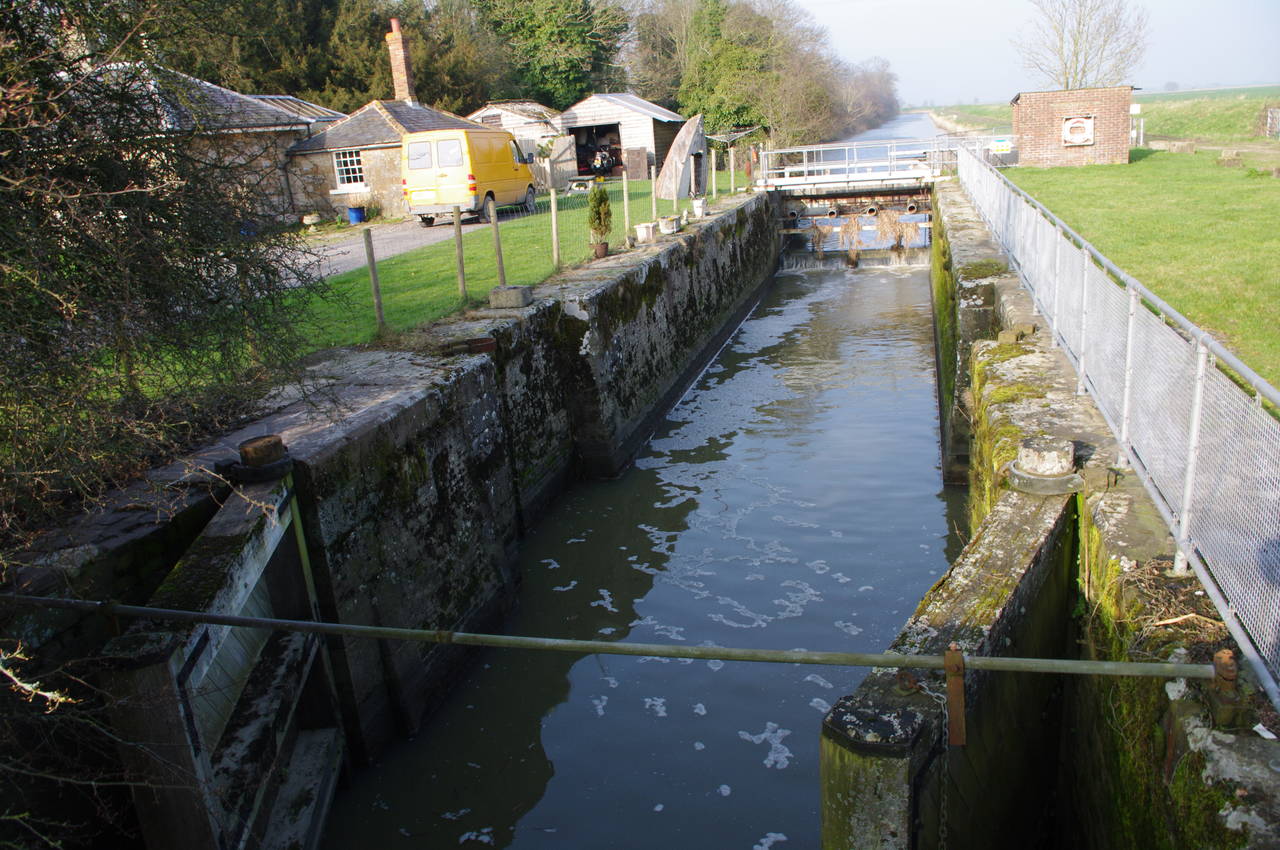
(26) Iden Lock
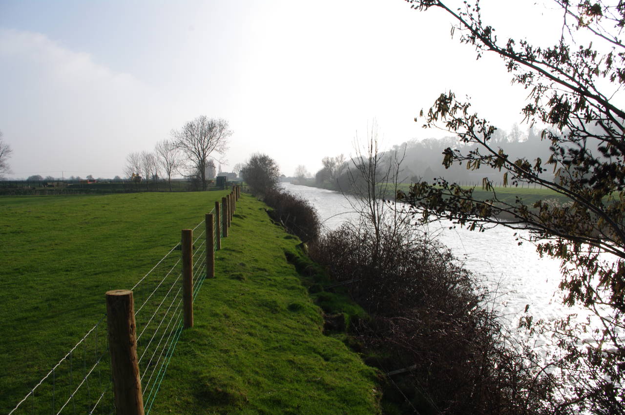
(27) River Rother, near Iden
(28) River Rother
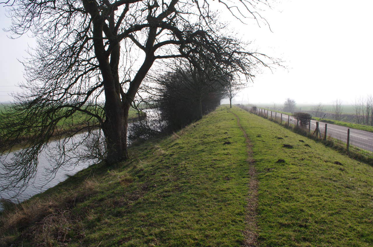
The Saxon Shore Way follows the raised bank along the Royal Military Canal (picture 25) for some distance before the path crosses a stile and continues along the road to Iden, where the Royal Military Canal flows into the River Rother. Just before the road crosses the Rother, the route meets up with the Sussex Border Path and turns left to cross Iden Lock (picture 26). Although the lock is disused, its gates are still present and can be seen in the foreground of the picture.
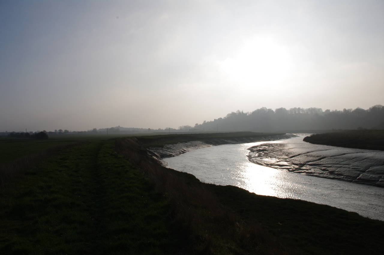
The route then continues along the left bank of the River Rother beside flat open fields (picture 27). After about one and a half kilometres, the route passes Scots Float Sluice, beyond which the River Rother is tidal. The water level suggested that the tide was quite low (picture 28).
(29) Approaching Rye
(30) Playing fields, Rye

(31) View from Ypres Tower, Rye
(32) Ypres Tower, Rye
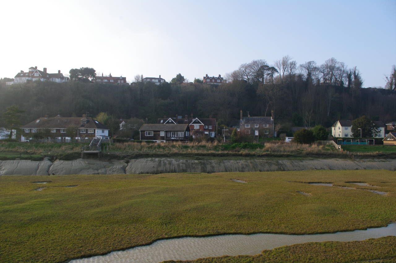
For much of the four kilometres between Iden Lock and Rye, the cliffs of the Saxon coastline rise steeply on the far side of the river. Nearing Rye, the houses on the edge of town line both the top and bottom of the old cliffs (picture 29).
The path continues along the river bank, passing under a railway bridge and continuing along a little further to the A259, where the Saxon Shore Way crosses the River Rother using the footpath of the road bridge. Not far beyond the bridge, the route leaves the road to follow a bitumen footpath behind some playing fields, from which there are views to the buildings of the old town on top of the hill (picture 30).
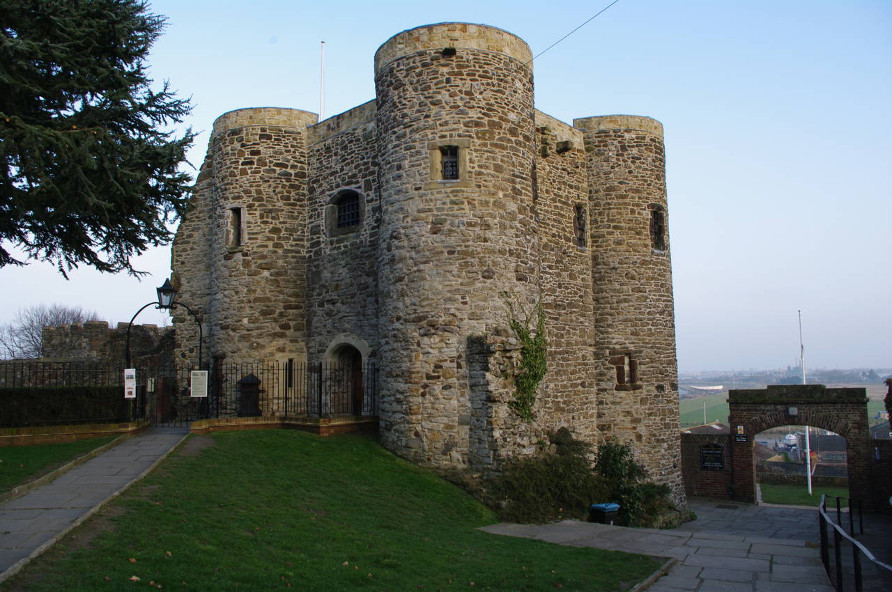
At the end of the path, the route joins a road and swings around to the right to cross the main road, climbing some steps past the Ypres Castle Inn to enter the gun garden of the Ypres Tower (apparently pronounced "wipers"), built in 1249 as part of Rye's medieval defences. From the gun garden there are good views over the River Rother (picture 31) as it heads out over Romney Marsh to eventually flow into the English Channel at Camber.
The best view of Ypres Tower itself is from the small cobbled square reached by walking through the gun garden and following the path around to the right (picture 32). These days the tower hosts the Rye Castle Museum, though I had missed the winter closing time by about 90 minutes.
(33) Church of St. Mary the Virgin, Rye
(34) Watchbell Street, Rye
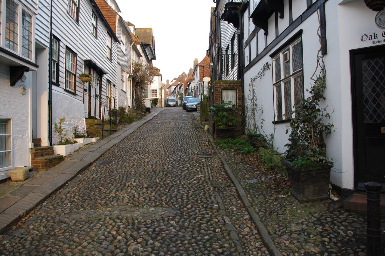
(35) Mermaid Street, Rye
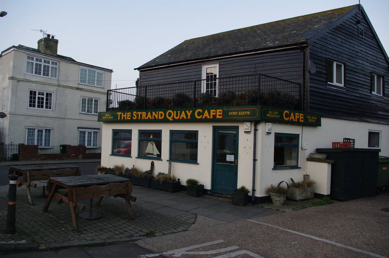
(36) Strand Quay Cafe, Rye
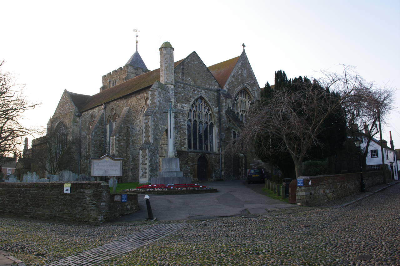
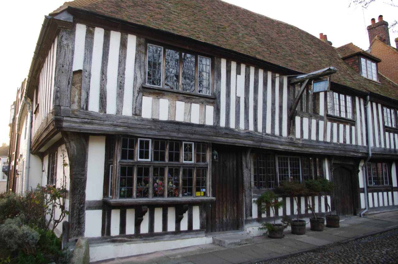
On the other side of the square stands the parish church of St. Mary the Virgin (picture 33) and the Saxon Shore Way follows Watchbell Street to the left of the church, passing historic buildings that are typical of those to be found in Rye (picture 34). At the end of Watchbell Street, the route turns to the right, descending down the cobbled Traders Passage to Mermaid Street (picture 35), where the route heads downhill to the left to reach the main road beside a large anchor at the Rye Heritage Centre,
The route then follows the main road to the right for a short distance to a roundabout in front of the Strand Quay Cafe (picture 36), where the Saxon Shore Way heads off to the left over the River Tilingham, but here I instead left the route for the day, having covered 22km of the Saxon Shore Way since Hamstreet.
About five minutes walk to the right along Wish Street brought me to the station, just a couple of minutes before the next train arrived.