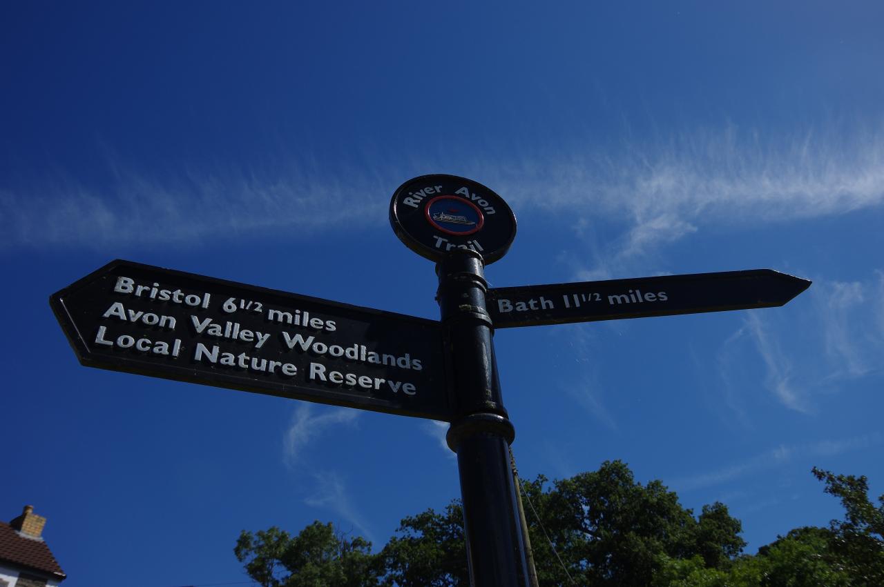
River Avon Trail
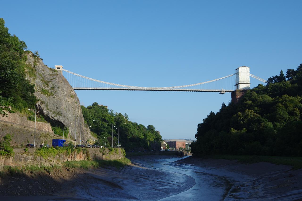
The River Avon Trail follows the navigable extent of the River Avon, sometimes known as the Bristol Avon, covering a distnace of just over forty kilometres. The Trail begins near the mouth of the river in the harbour village of Pill, following the river upstream through the spectacular Avon Gorge and the bustling city of Bristol. From the eastern edge of Bristol, the Trail continues through the peaceful countryside of the Avon Valley, on the southern edge of the Cotswolds, to the city of Bath, passing through several small settlements along the way. The Trail ends in the centre of Bath on Pultenay Bridge, within a stone's throw of the historic attractions of Bath Abbey and the Roman Baths.
The first quarter of the Trail provides a useful link between the England Coast Path, which crosses the Avon near Pill, and the Kennet and Avon Canal Path, which shares its route with the River Avon Trail between Bristol and Bath.
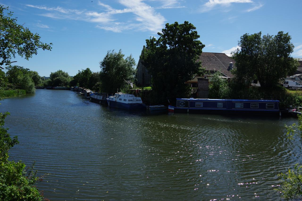
Since Roman times, the Avon has provided a vital link between inland settlements and the sea. The river was tidal all the way up to Bath until the 13th century, when around thirty mills and accompanying weirs were built, preventing navigation above Bristol. The stretch of the river between Bristol and Bath was made navigable once more in the 1720's, when six locks were constructed between the two cities and a weir was built just below Pultenay Bridge. The weir remains the limit of navigation, though the river itself stretches up into the Cotswold Hills to its source near the village of Sherston.
Day 1

Pill to Bristol
07 Aug 2016
10.9km
Day 2
Bristol to Bath
23 Aug 2016
29.4km