OFFA'S DYKE PATH NATIONAL TRAIL
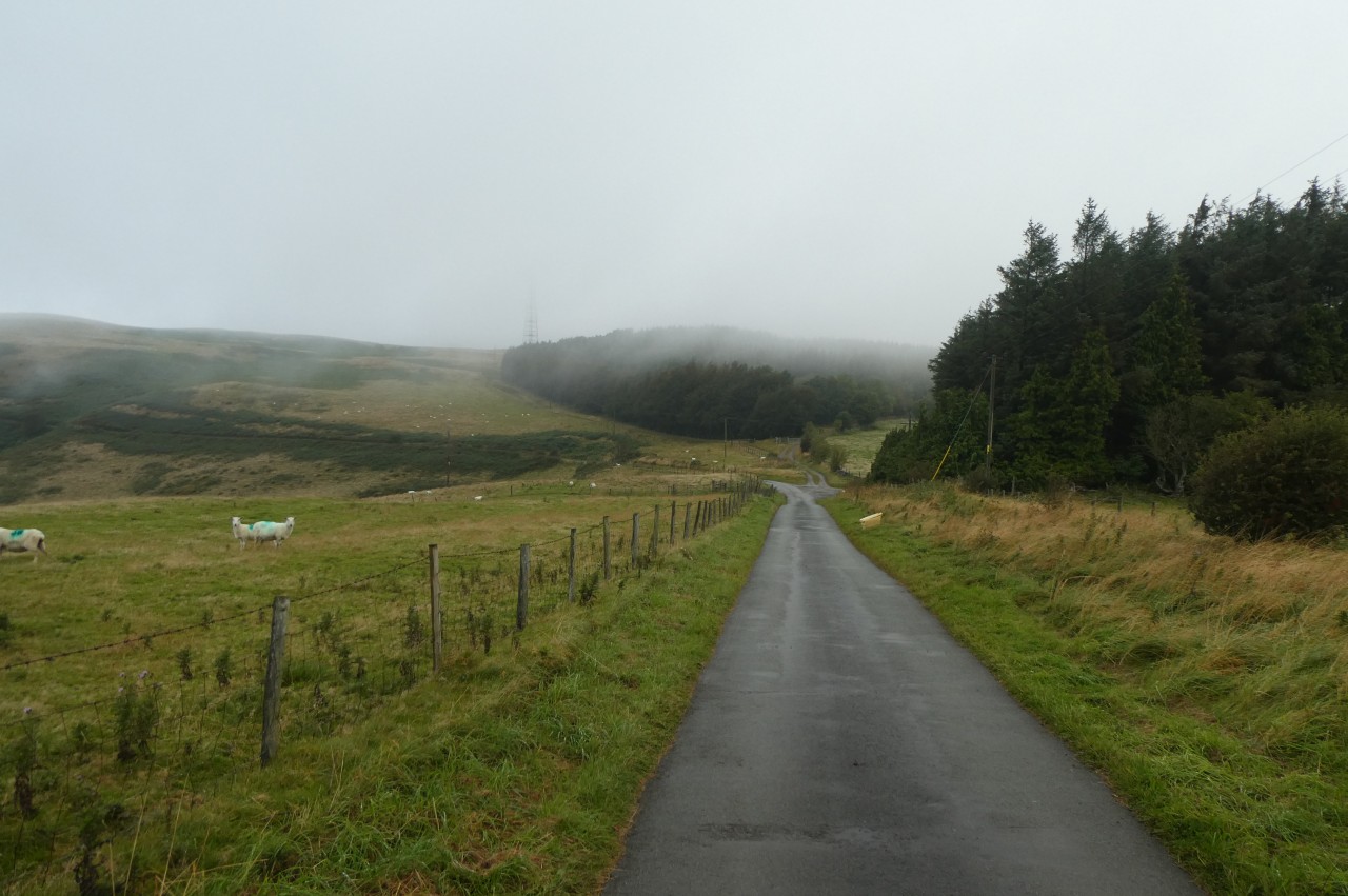
Stage 13: Llandegla to Bodfari
Tuesday, September 10, 2019
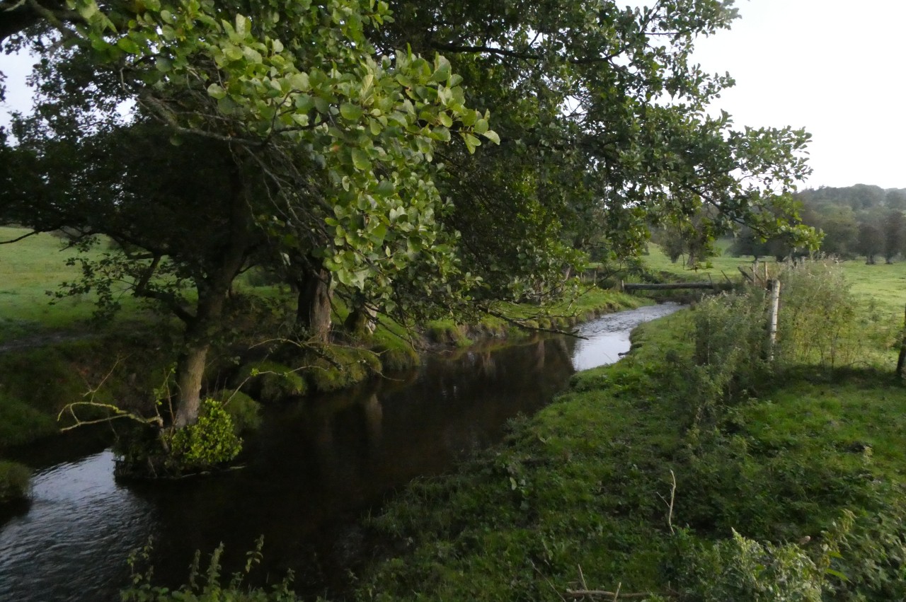
(1) River Alyn
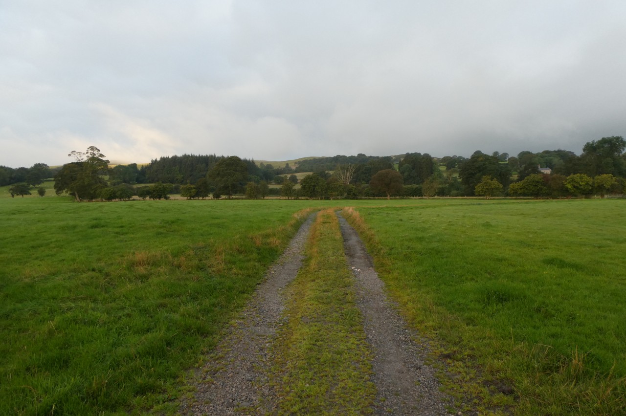
(2) Chweleiriog
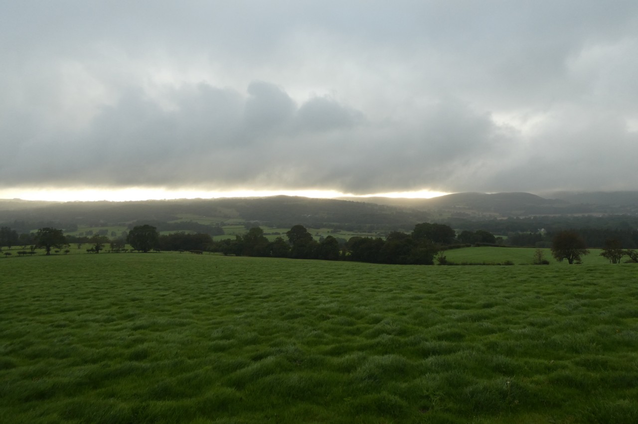
(3) Sunrise
(4) Descending to Nurse Fawr
After the previous day's false start and day-trip to Denbigh, I settled down for an early night at the Llyn Rhys Farm Campsite with the prospect of a long day's walking along the Clwydian Range still ahead of me. It was still not quite dark when I drifted off to sleep to the sound of the little River Alyn trickling peacefully close by. It was still dark when I awoke and after a quick breakfast I packed up my tent and headed off up the road through Llandegla to rejoin Offa's Dyke Path in front of the Community Shop as dawn was breaking.
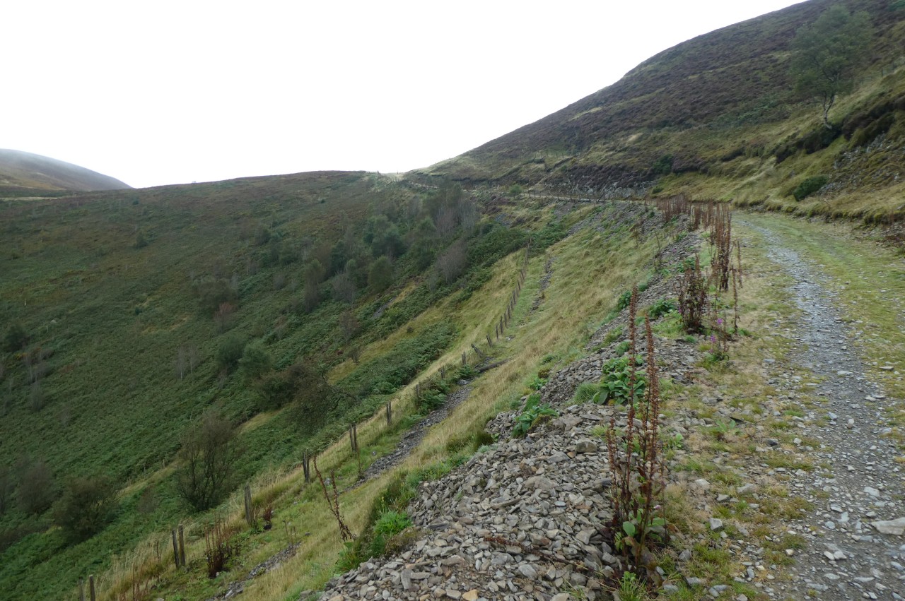
Facing away from the shop, the Path heads up a track to the right of the Church of St Tecla. The track soon bears right, but the Path continues straight ahead to a gate to join a wire-fenced path beside the tree-lined River Alyn (picture 1). After crossing a wooden footbridge over the river, the Path crosses the end of a small field to find a waymarker pointing towards a gate under the trees, where Offa's Dyke Path turns along the left edge of the next field to shortcut across a long loop of the river.
Through another gate, the Path skirts the end of a small copse before a tall waymarker points along the edge of the next field to a very muddy patch in the corner by a footbridge over a side-stream of the River Alyn. Over the bridge, the path briefly goes ahead beside the Alyn, but as the river bears away to the right, the Path bears left to a gate, turning further left past the end of a row of trees before turning right to follow the trees along the edge of a large field to yet another gate, where a waymarker points along an enclosed path to the B5431.
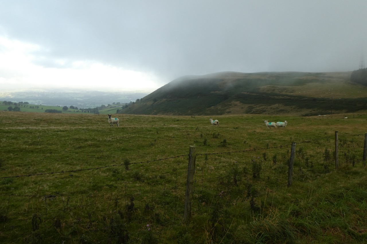
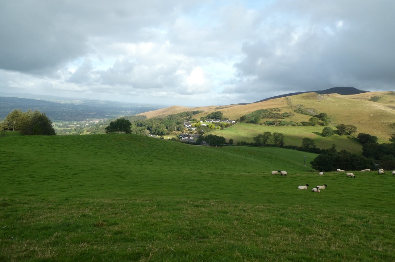
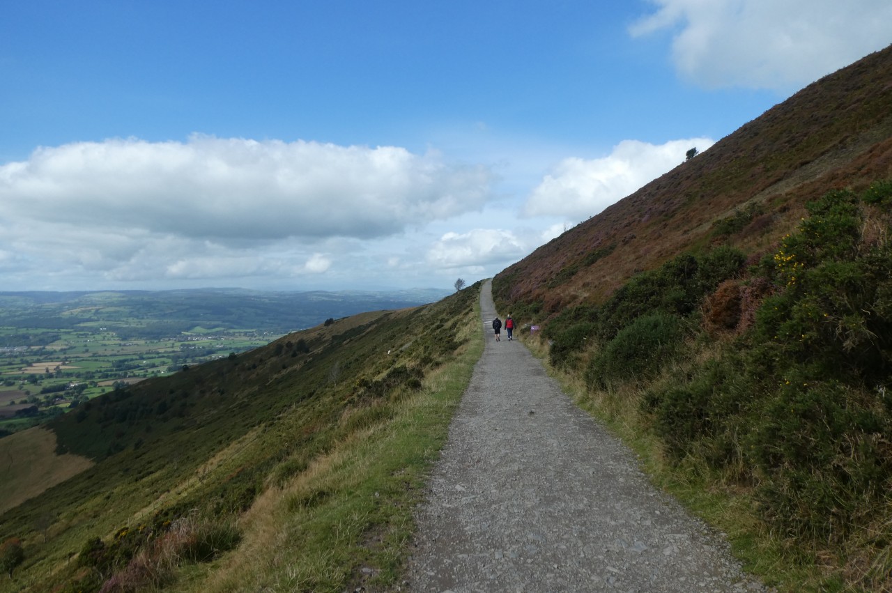
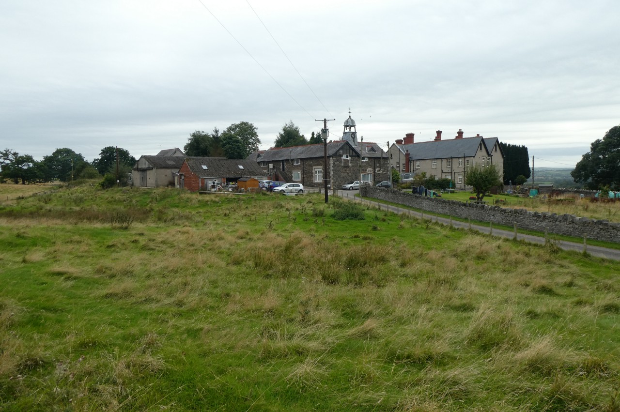
Offa's Dyke Path goes straight across the narrow strip of tarmac and up the farm driveway opposite into Chweleiriog Lwyd, following the driveway for almost a kilometre as it meanders across the large farm (picture 2). Two hundred metres short of the farm buildings, the Path bears left over a stile and begins to cross a series of irregularly-shaped fields. With the exception of the second field, where the Path climbs up the middle, it sticks religiously to the left edge of each field. In all, I counted seven stiles before the Path eventually reaches a narrow tarmacked lane and turns right to climb it, now on Clwydian Range of hills. Looking eastward from the top of the rise toward the hills around Wrexham, I could see that a thick bank of low cloud and mist was obscuring what might otherwise have been a quite spectacular sunrise (picture 3).
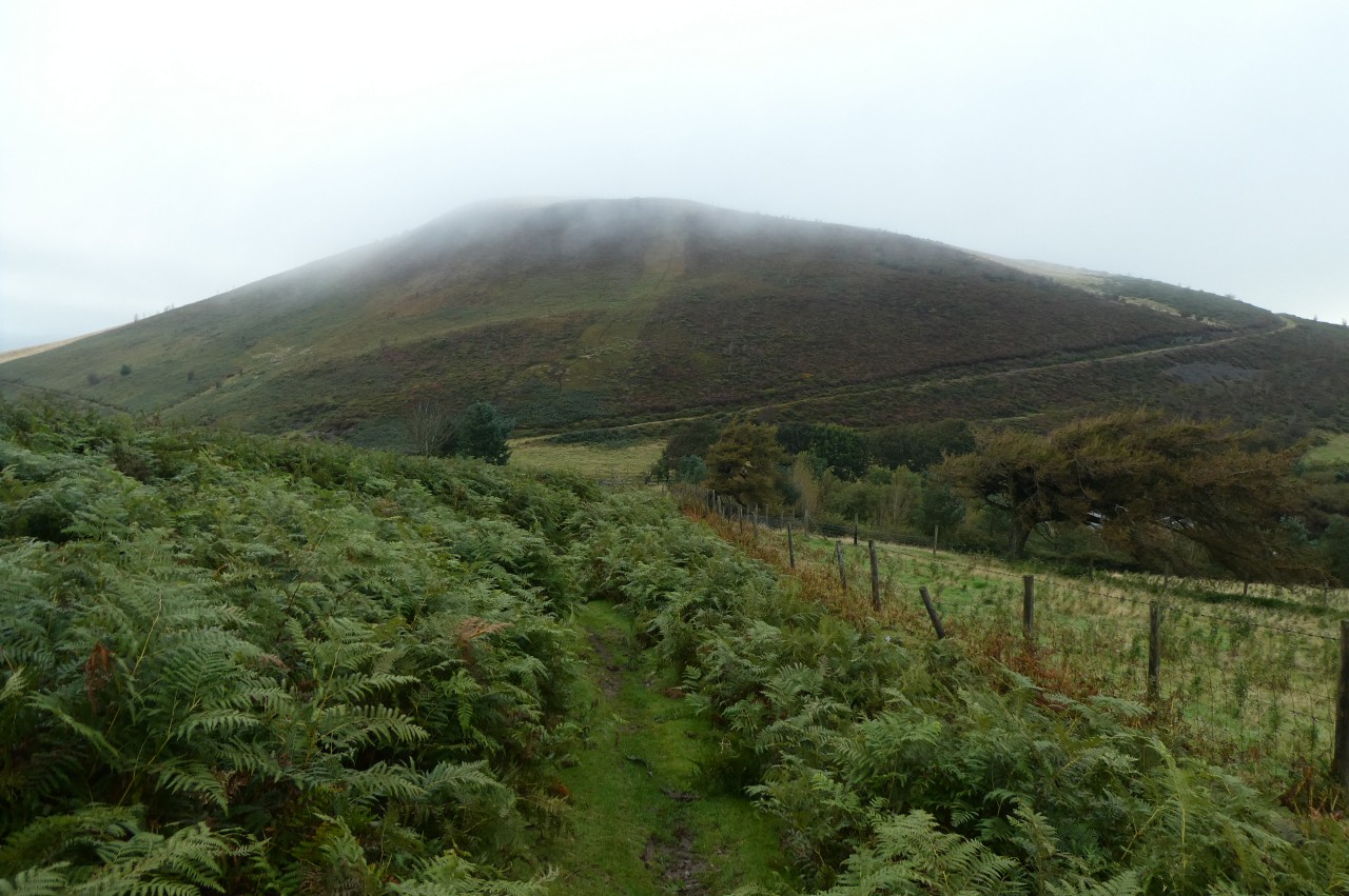
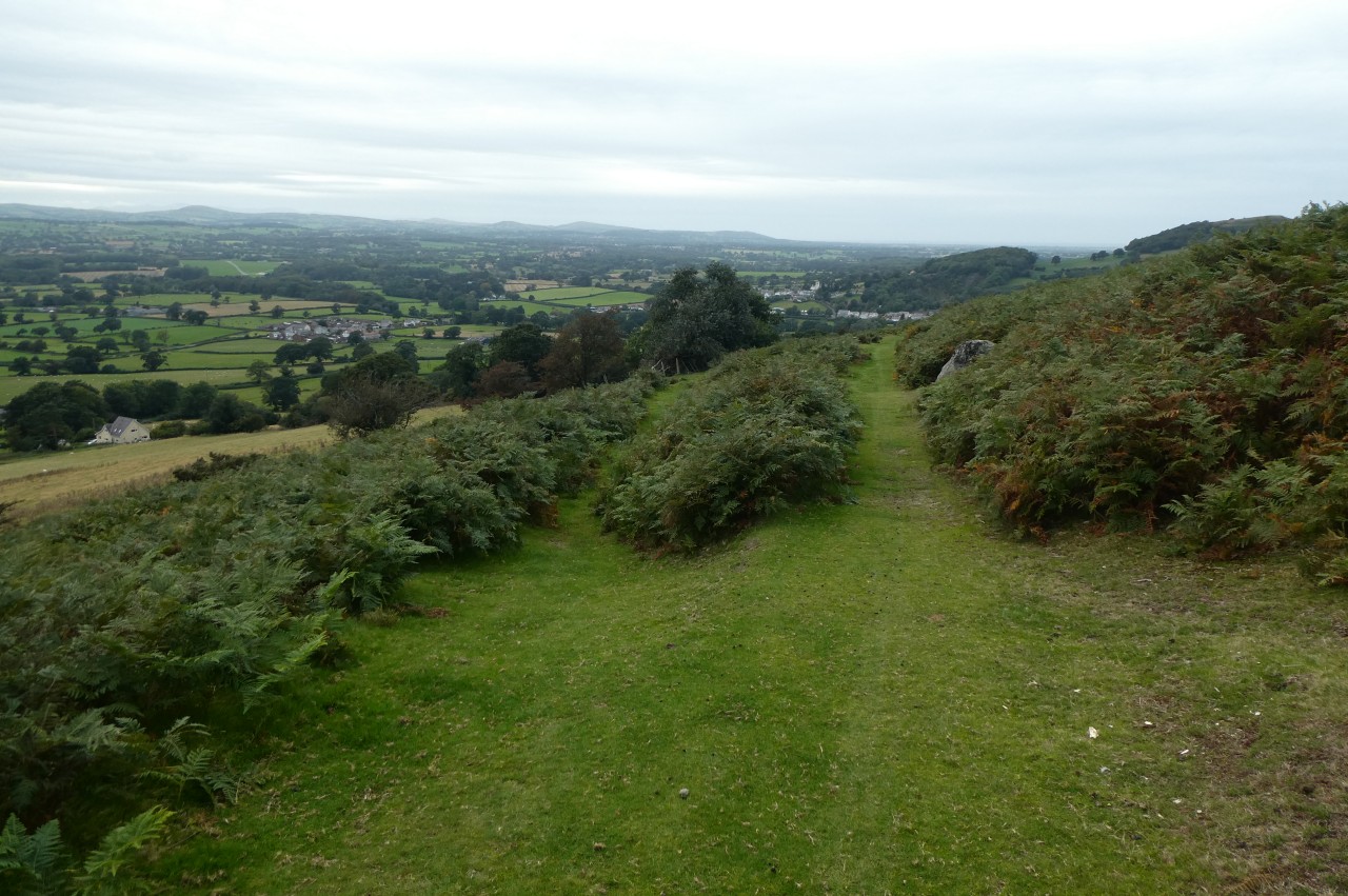
Over the crest of the hill, the lane descends past the rectangular copse of Nurse Gorlan toward the larger plantation of Nurse Fawr, where a thick mist was hanging over the treetops (picture 4).
(5) Moel y Gelli
(6) Valley between Nurse Fawr and Moel y Plâs
(7) View over Llyn Gweryd
(8) Moel y Plâs
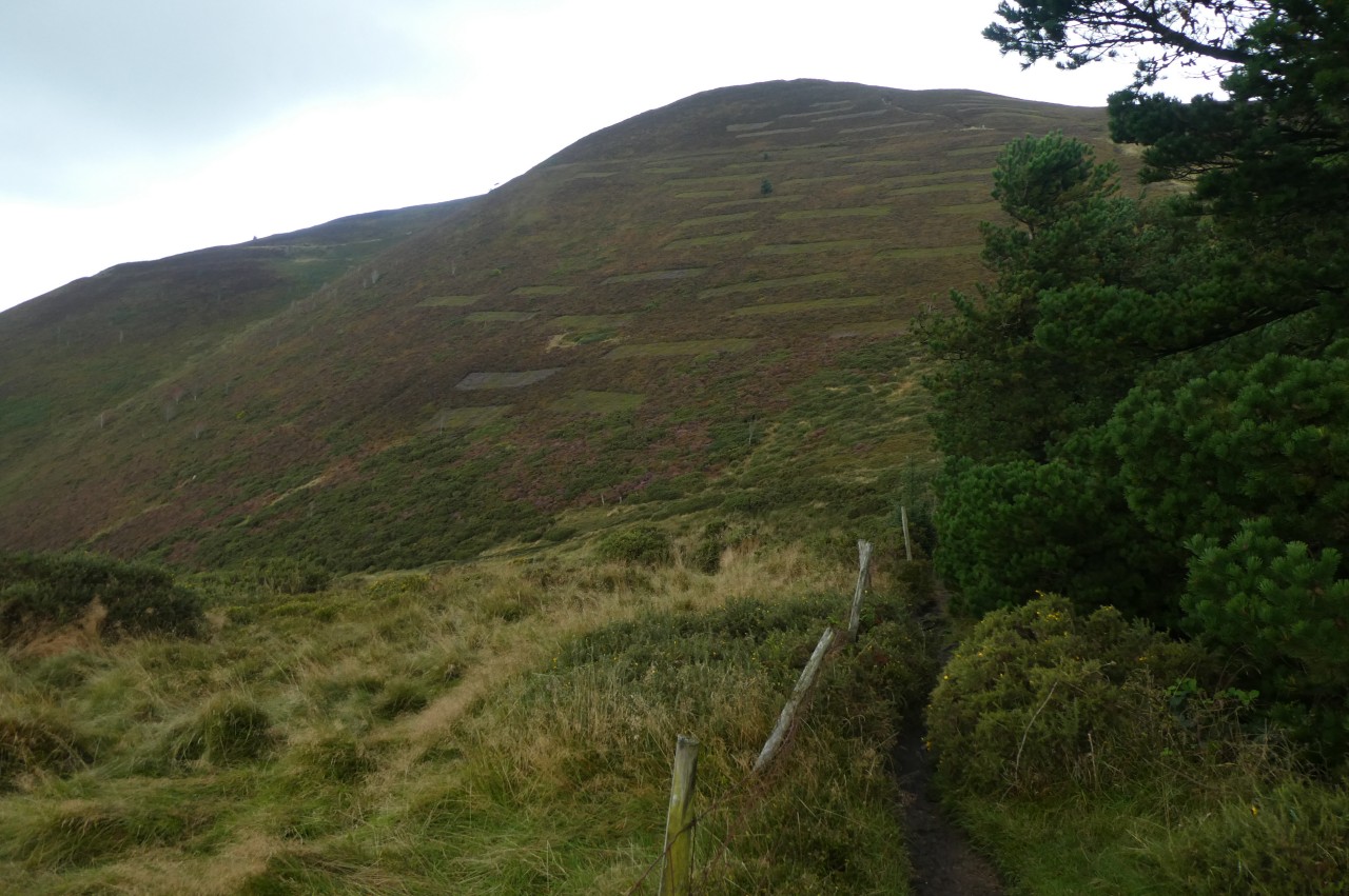
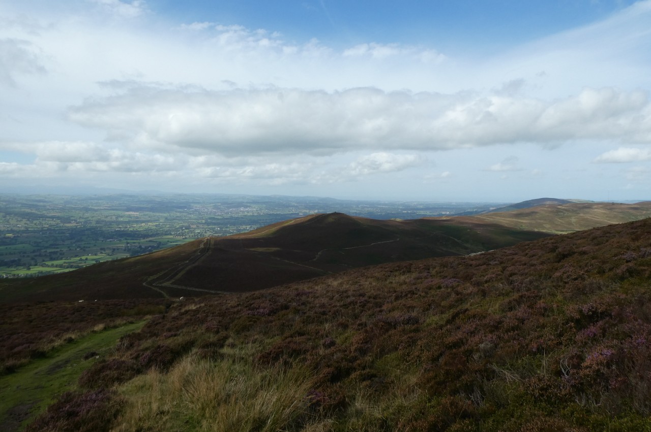
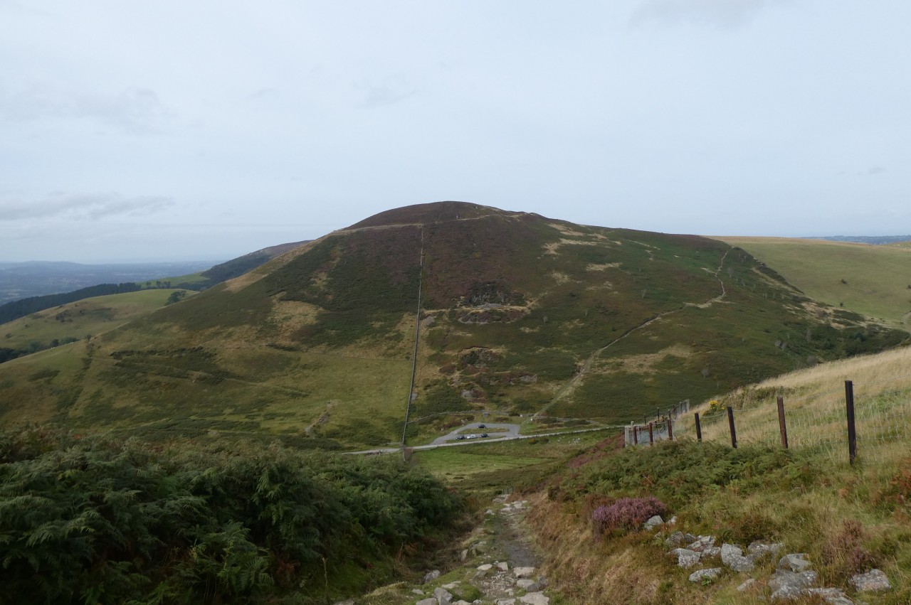
Just beyond Nurse Gorlan, the road bends left to run across the face of the 361-metre peak of Moel y Gelli (picture 5), but the Path forks a little right then soon left to cross a stile and join a track running alongside Nurse Fawr.
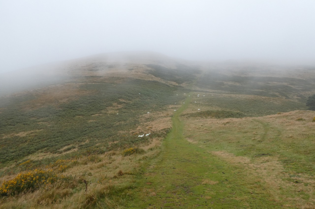
Soon after passing a fenced enclosure around a tall transmitter tower whose top was hidden in the mist, the track degenerates into a ribbon of trampled grass drops into the shallow, gorse-covered valley between Nurse Fawr and the, for now well-hidden, peak of Moel y Plâs (picture 6).
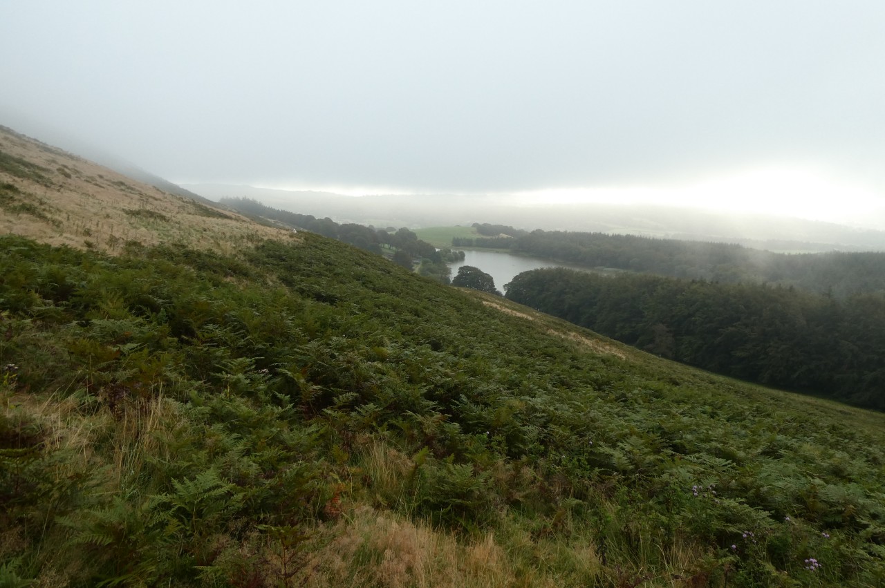
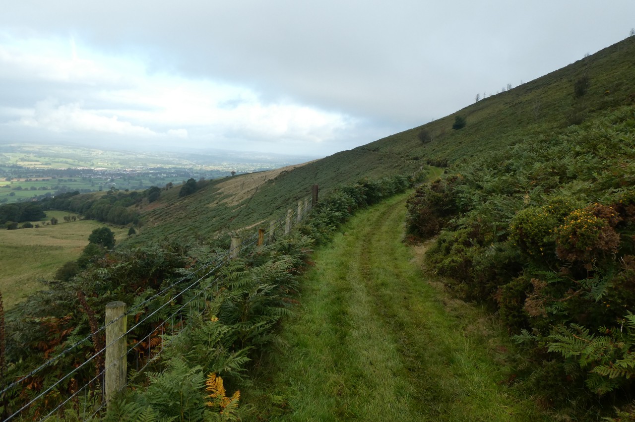
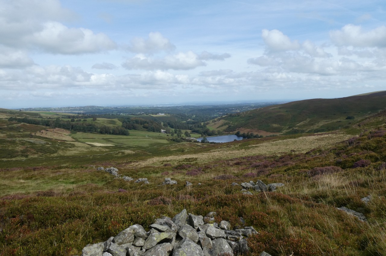
As I climbed up the other side of the valley, I briefly had a view over Llyn Gweryd (picture 7), a popular fishing lake, but that view was quickly swallowed up in the mist as I climbed higher. Further up the slope, the path reaches a wire fence, bearing right to follow it to a stile. (The Ordnance Survey map is in error here, suggesting that the path goes straight over the fence on first meeting it.)
Offa's Dyke Path crosses the stile to enter a large area of gorse-covered open-access land. A grassy path heads off through the gorse, cutting across a corner of the access land to the left of the 440-metre main summit of Moel y Plâs before meeting the wire fence again and following it a little to the right of the 413-metre secondary summit (picture 8).
(9) View ahead to Moel Llanfair
(10) Moel Llanfair
(11) View west from Moel Llanfair
(12) View ahead to Moel Gyw
Beyond the secondary summit, the trampled path descends, at first quite steeply, into the valleys between Moel y Plâs and Moel Llanfair (picture 9), briefly veering away from the fence before turning back to it and following it all the way down through the bracken to a stile by the gravel farm track that runs down the valley.
Across the track and a little to the left is another stile and a fingerpost at the beginning of a long grassy path along the western flank of Moel Llanfair, about a hundred metres below the summit ridge (picture 10).
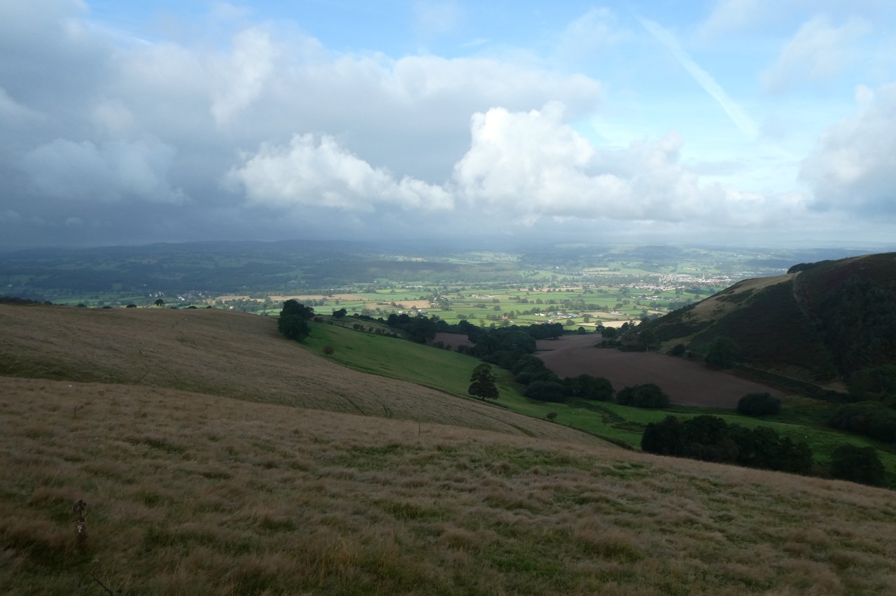
The mist was beginning to clear away as I followed the fenceline above one combe and then another. Gazing westward down the second combe, I could see that the sun was shining brightly on the town of Ruthin and the flat farmland of the Vale of Clwyd (picture 11), but on Moel Llanfair and the next peak, the 467-metre Moel Gyw (picture 12), it remained overcast, chilly and eerily still.
(13) Garreg Lwyd
(14) Descending to Clwyd Gate
(15) View over Moel-eithinen Farm to Moel Gyw
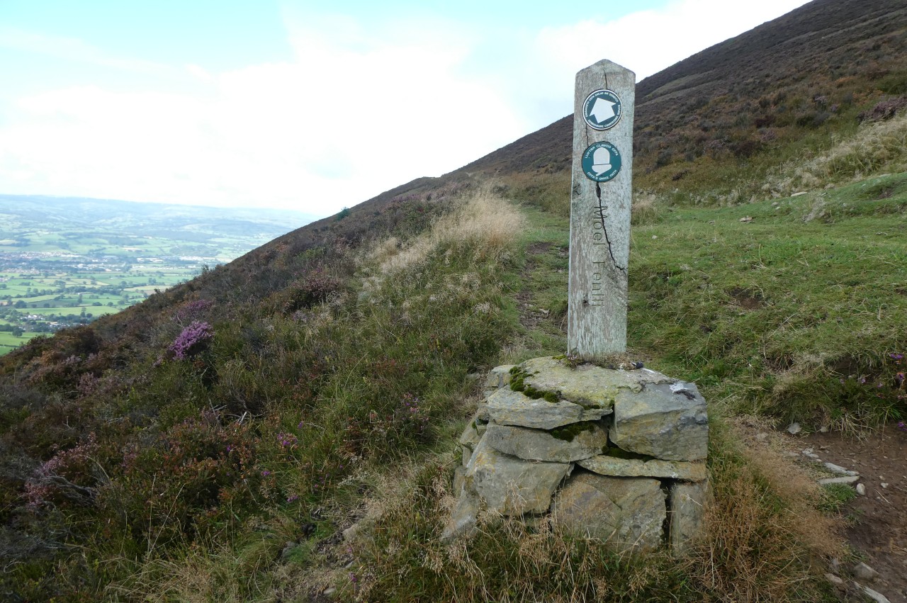
(16) Foel Fenlli
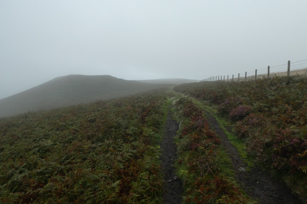
The path now curves around the side of Moel Llanfair to reach to top of the combe, where an ODP fingerpost indicates a right turn up a stony and initially quite steep track climbing toward Garreg Lwyd (picture 13), where the track passes between the tops of two combes on opposite sides of the range.
Somewhat inexplicably, Offa's Dyke Path doesn't quite follow the track all the way up to the ridge, instead turning left over a waymarked stile on the left about fifty metres short of the crest and following a narrow groove through the dense gorse toward a fingerpost about 150 metres from the stile. At the finger post the Path merges into a grassy trail that sets off across the bracken-covered western face of Moel Gyw.
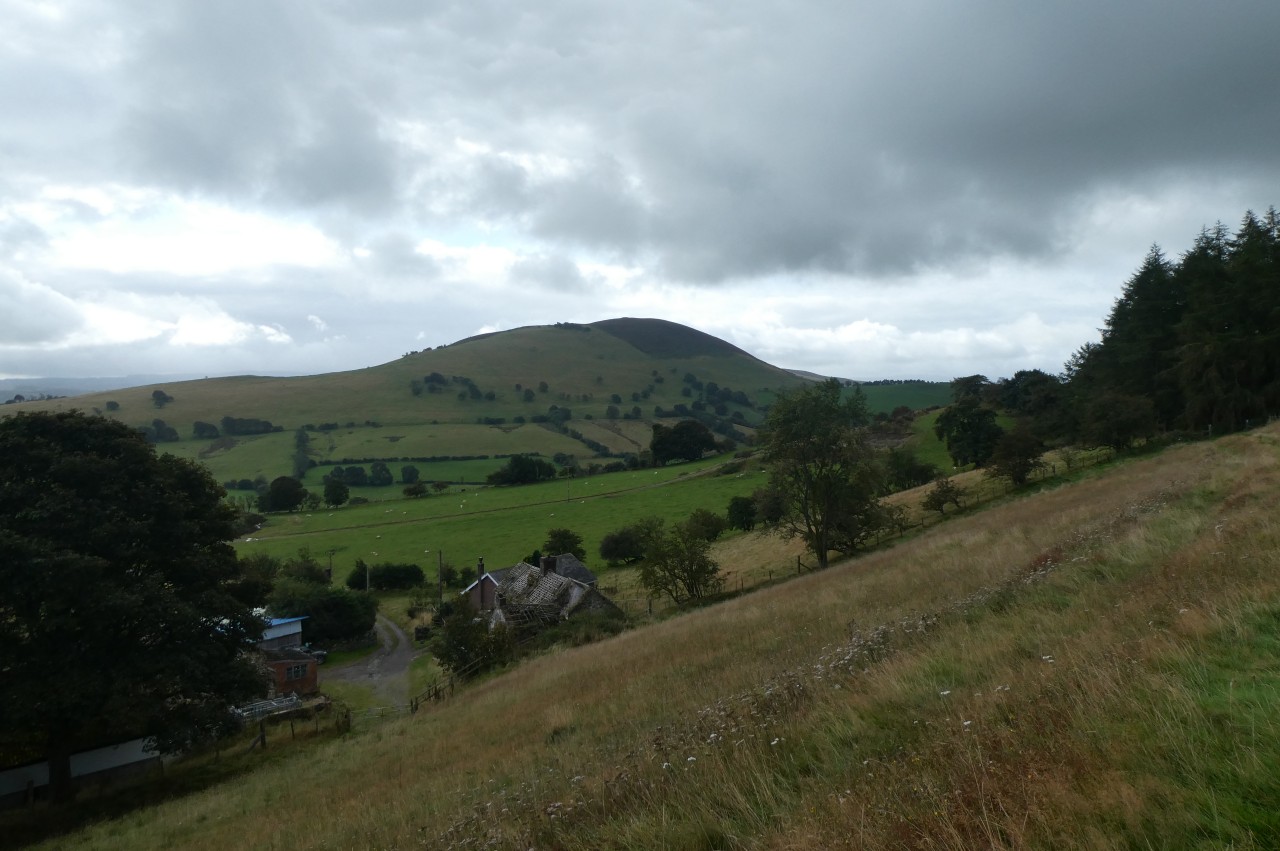
Before long, the hillside trail begins a gentle descent, eventually reaching a stile between two gnarled oak trees. Over the stile, the Path bears half-left across springy turf, aiming for the leftmost of two grassy humps, from which there is a nice view half-right over the hamlet of Clwyd Gate (picture 14), where I would be walking soon.
To get there, the ODP continues in much the same direction as before, over another hump then down to a stile, beyond which a line of trampled grass descends to the lower right corner of the field where another stile stands by the farm buildings of Pen-yr-allt. A fingerpost by the stile points along the farm drive, which reaches the A494 opposite the fairly modern looking Clwyd Gate Inn, which sadly had been closed and put up for sale just before my visit (and was on the market again in March 2023).
The Path crosses over the A494 and turns right along the busy main road for three hundred metres to find a farm drive on the left, marked with a bridleway fingerpost. The farm drive climbs and curves right to pass by a farmhouse nestled in a small copse, soon crossing a cattle grid to emerge into the open on the south-eastern slopes of Gyrn, but well below the 384-metre summit.
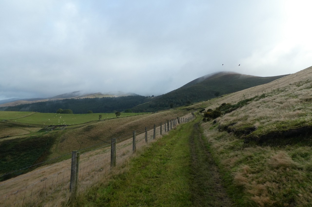
The stony track continues to climb gently along the eastern side of Gyrn until a less prominent track forks off to the left to cross a stile next to a wooden five-bar gate. Ahead, the lesser track ends at the corner of a rectangular larch plantation on the eastern face of Moel Eithinen and Offa's Dyke Path crosses a stile to follow a well-worn groove through the short end of the plantation, leaving the trees at a redundant stile above Moel-eithinen Farm, where there is a good view back across the valley to the northern side of Moel Gyw (picture 15).
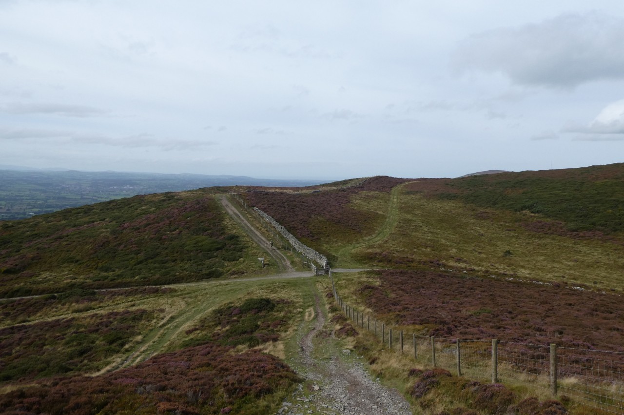
An obvious grassy path now follows wire fences in a north-easterly direction for five hundred metres, dipping down a little just before reaching a stile in a low stone wall. The National Trail doesn't cross over, but rather turns left to follow the wall westward up to another densely-packed forestry plantation, labelled as Clwyd Nurseries on the OS map.
The Path dips down to a stile hidden under the far corner of the plantation then goes ahead up a grassy combe just to the right of a wire fence until a barely-distinguishable line of trampled grass curves right toward another stile at the corner of a fir plantation. As I made my way along the short end of the plantation, the south-eastern slope of Foel Fenlli came into view, with a prominent pattern of lighter-coloured rectangles in the dark gorse (picture 16). I assume that these are man-made, but so far I haven't been able to find out what purpose is behind them.
(17) Foel Fenlli
(18) View south from the summit of Foel Fenlli
(19) View ahead to Moel Famau
(20) View over Ruthin from Moel Famau carpark
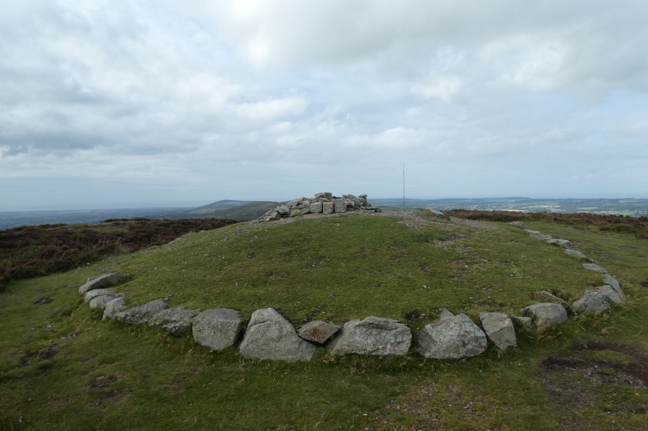
Foel Fenlli itself is a 511-metre mountain with ten hectares of its top encircled by the earthen ramparts of a roughly oval-shaped Iron-Age hillfort. Curiously, the ramparts are not level, as they are on most hillforts. Instead, they are close to the summit at the eastern end of the enclosure but are one hundred metres lower at the western end. Perhaps the fort's defenders were more worried about attackers coming from the west than from the east.
As I climbed the steep path up Foel Fenlli, it quickly became apparent that the route of the Offa's Dyke Path shown on the Ordnance Survey map was very wrong (and is completely wrong for the next 1,500 metres). The map showed the Path turning left a short distance up the slope to circle around the south and west sides of the hill well below the ramparts, but there was no path on the ground where the map claimed there was. (As of April 2023, the Ordnance Survey has been updated to show a route somewhat closer to the ramparts, but alas still completely fictional.)
In reality, the Path does not turn left where indicated by the map but instead continues to climb straight ahead up the hillside, gaining another fifty metres in height to reach a junction of paths where a waymarker post atop a small cairn confirms that this is the correct route (picture 17). The Path now swings left past the post to ascend a little less steeply to a similar post on the ramparts, where the Path turns left down a flight of rough steps and begins to follow the ramparts around the curve of the hillside.
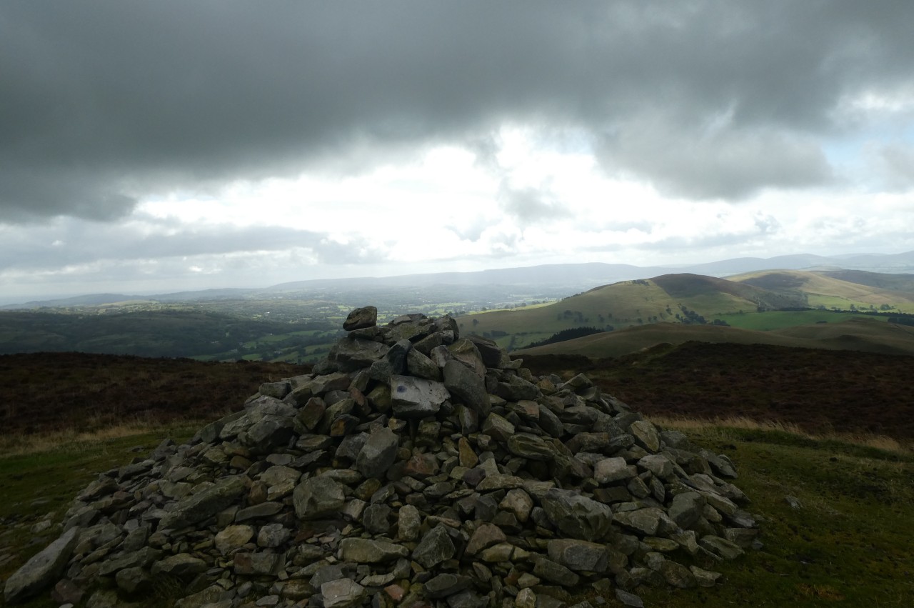
Before turning down those steps I first turned the other way, leaving the National Trail to make the short diversion up to the summit of Foel Fenlli, about two hundred metres away and fifty metres higher. A substantial cairn marks the summit, which has far-reaching views in all directions, including the hills I had traversed earlier in the day (picture 18).
Returning to the Path after pausing for a quarter of an hour on the summit, I descended the steps and followed the obvious path, which runs atop the ramparts to their westernmost point, where the Path drops down through the gap in the ramparts that was once the hillfort's entrance and starts to descend to Bwlch Penbarra, the col separating Foel Fenlli from the next peak, Moel Famau (picture 19).
Eventually the Path reaches the road that runs through the valley, crossing over to the carpark on the other side to enter the Moel Famau Country Park. I paused at a viewpoint on the western side of the carpark to read a couple of information boards and to eat my lunch while admiring the view westward over Ruthin to the distant peaks of Snowdonia (picture 20), ranging from Cadair Idris in the south to Snowdon and Tryfan in the north.
(21) Moel Famau
(22) Moel Famau
(23) Jubilee Tower
(24) View east from Jubilee Tower
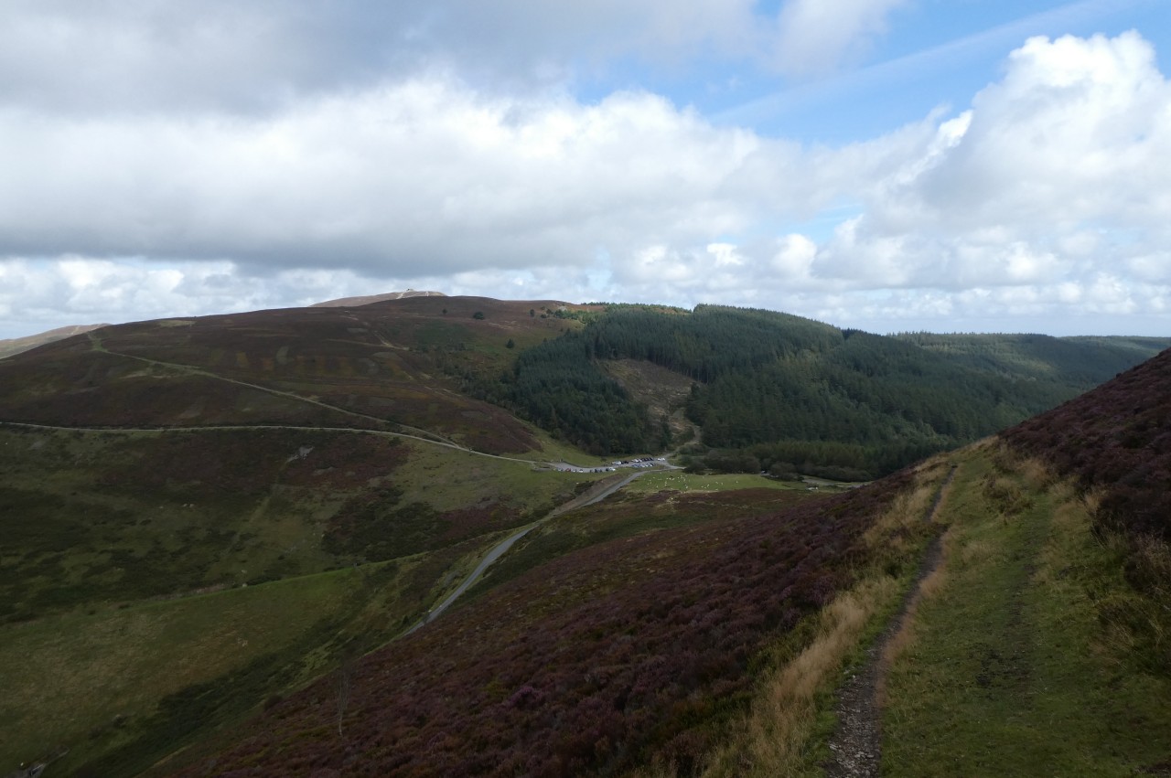
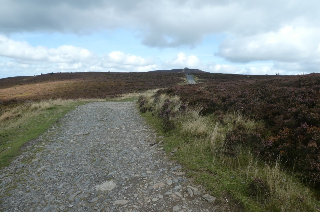
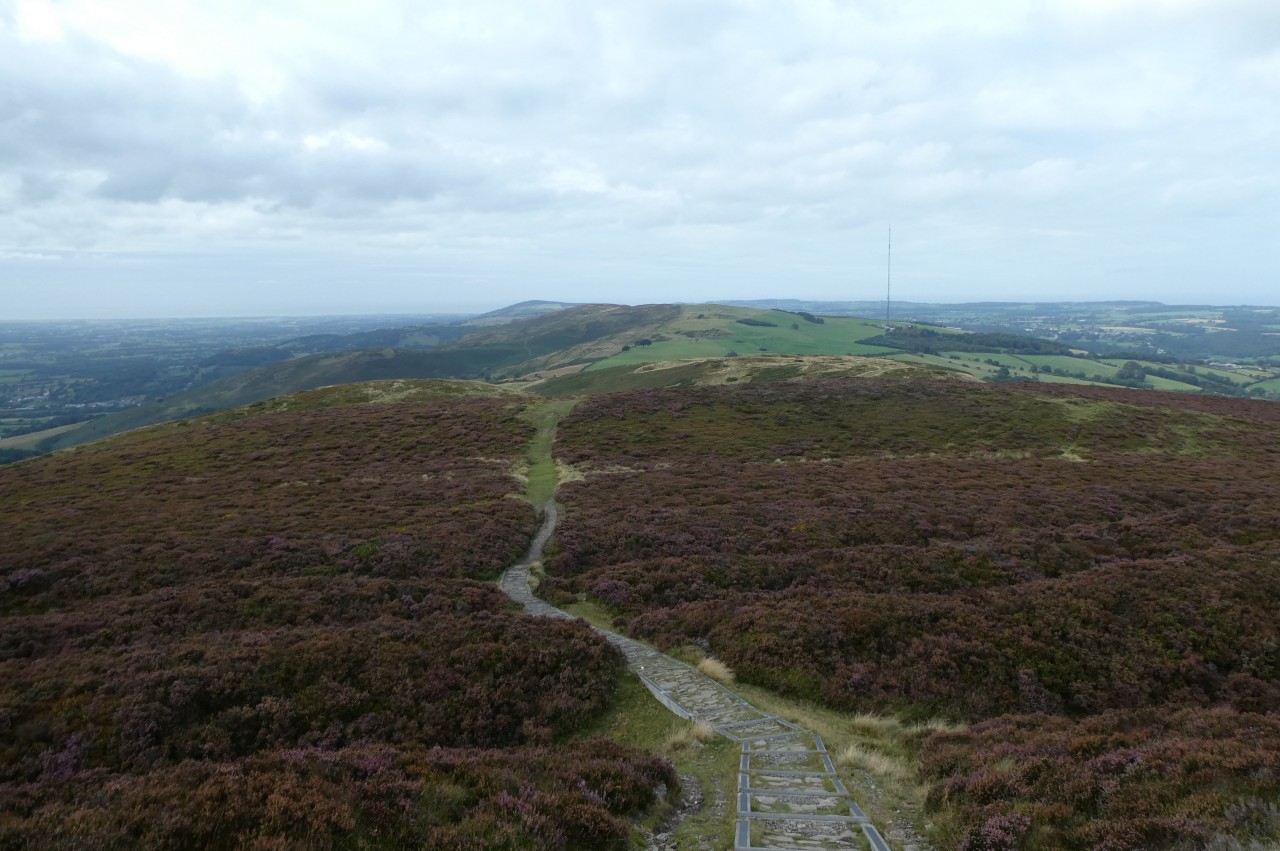
Up to this point, I had seen no other walkers, but that was about to change. The carpark was almost full and at regular intervals people were setting off in ones and twos on the broad gravel footpath that takes the Offa's Dyke Path all the way up to the summit of Moel Famau, a steady but fairly gentle climb, gaining two hundred metres in elevation over 2.6 kilometres.
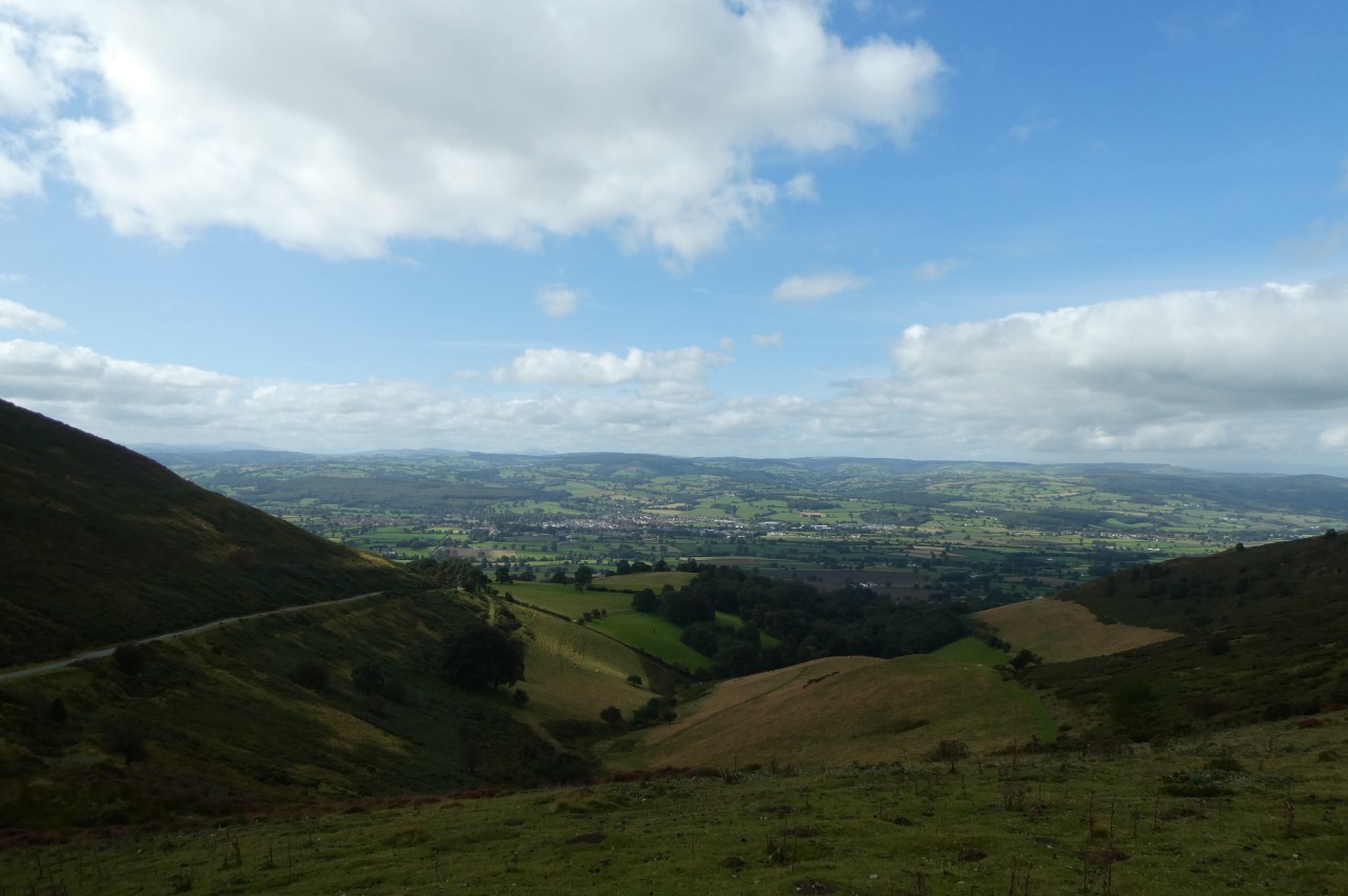
Initially the path heads north-westward along the side of the ridge, swinging back to the right after five hundred metres to snake its way along the ridge in a more northerly direction. For most of the way there are more fine views across the fertile Vale of Clwyd to the left (picture 21) while ahead there are vast expanses of gorse with tufts of hardy cotton grass lining the path.
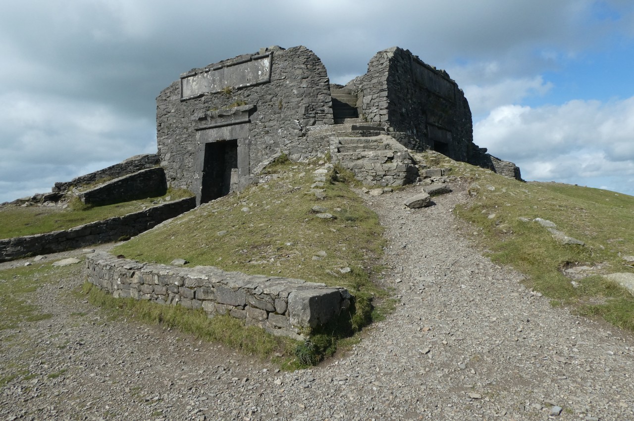
There is still well over a kilometre to go when the summit first comes into view, topped by the squat stone ruin of the Jubilee Tower (picture 22), and it was another twenty minutes or so before I walked up the rather stony final stretch of the path to reach an ODP fingerpost to the left of the tower (picture 23) just as the warm sunlight fell upon me for the first time in the day after being tantalizingly close for most of the morning.
Construction of the Grade II listed Jubilee Tower began in 1810 on the fiftieth anniversary of King George III ascending to the throne, but due to financial problems the structure was never finished and part of what was built collapsed during a violent two-day storm in 1862. What we see today is just the base of what was supposed to be a three-tiered, thirty-five metre tall Egyptian Revival-style obelisk. The county border of Denbighshire and Flintshire runs through the 554-metre summit of Moel Famau, so the Jubilee Tower straddles the two counties and is the highest point of Flintshire, but not of Denbighshire. (That title belongs to the 832-metre Cadair Berwyn, which I hope to visit in the future.)
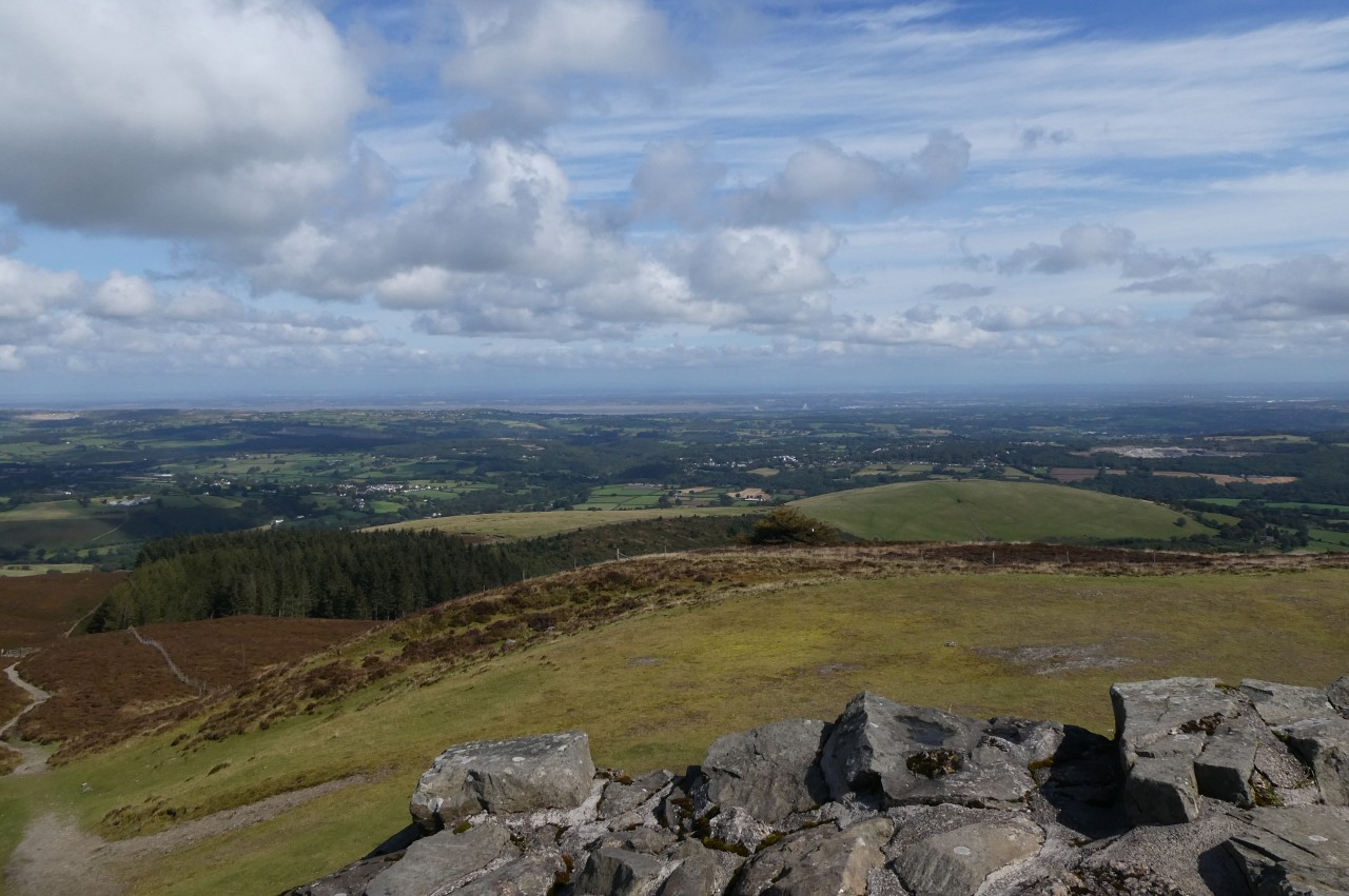
After walking a lap of the tower, I climbed the steps to stand on the county-top of Flintshire and to take in the 360 degree views. To the north-east, I could see across Flintshire to the long inlet of the Dee Estuary (picture 24), which separates Flintshire from The Wirral, and further around to the left I could just make out the north coast of Wales and the Irish Sea through the haze. On a clearer day, it is possible to see as far north as the Blackpool Tower.
(25) View ahead over Moel Dywyll
(26) View toward Cilcain
(27) Crossing path to Cilcain
(28) Climbing Moel Llys-y-coed
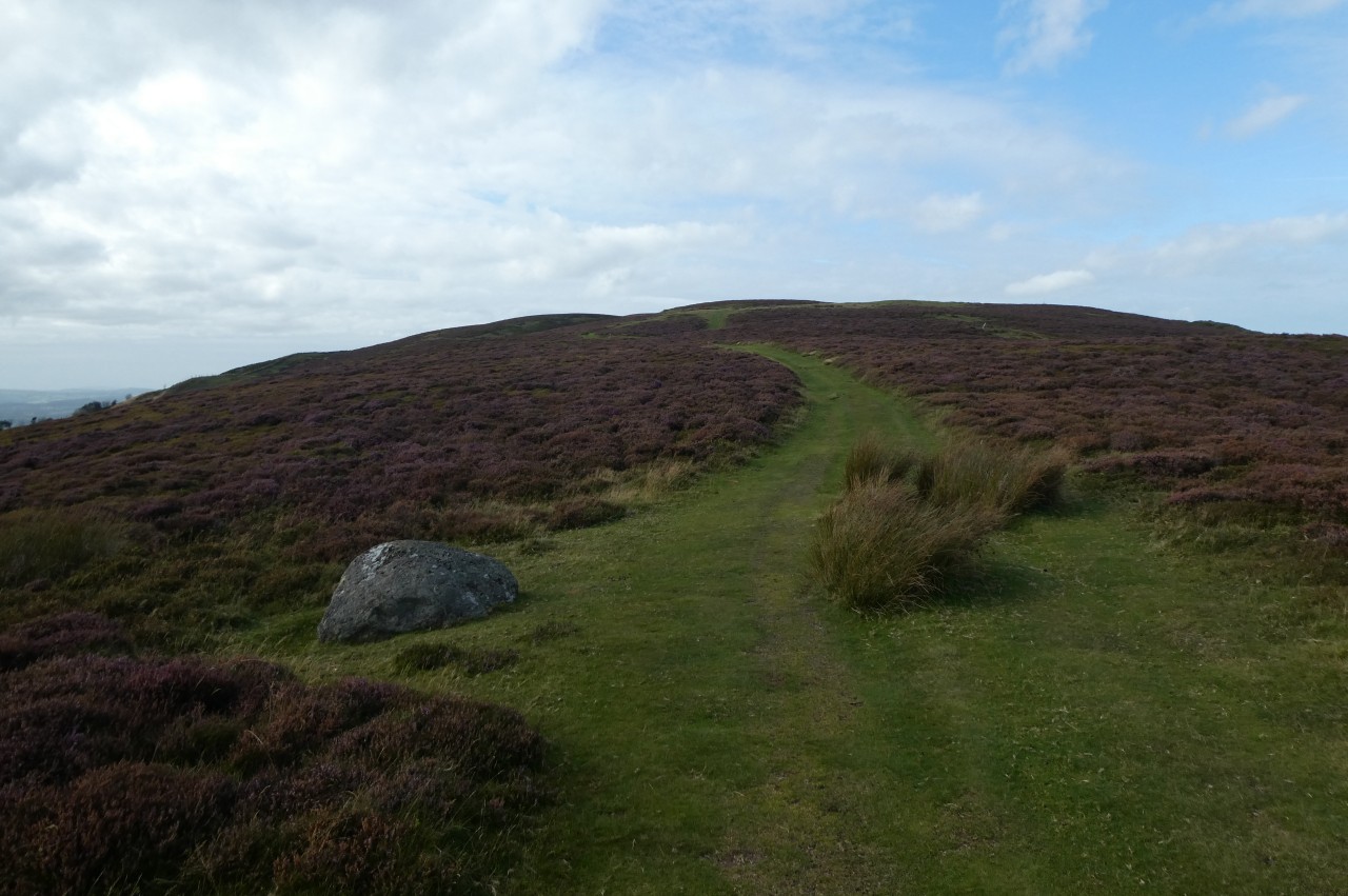
From the fingerpost by the Jubilee Tower, the Offa's Dyke Path heads north-westward, soon joining a path through the furze on the Denbighshire side of a very long dry-stone wall that demarcates the county border with Flintshire for the next ten kilometres or so. Ahead, the Path accompanies the boundary wall over the next peak, the 475-metre Moel Dywyll (picture 25), passing a little to the left of the summit cairn, which stands by a corner in the wall that is shortcut by the Path.
From there the path keeps fairly close to the wall and soon an attractive little lake appears down a combe over the wall to the right, with the village of Cilcain a few kilometres beyond (picture 26). A little further on, the Path crosses over a perpendicular track that climbs over the ridge from the tiny hamlet of Llangynhafal in the west to Cilcain in the east (picture 27). Just beyond the cross-track, the Path and the wall swing right to make for the top of Moel Llys-y-coed (picture 28).
(29) Moel Arthur
(30) View ahead to Penycloddiau
(31) Coed Llangwyfan
(32) Penycloddiau
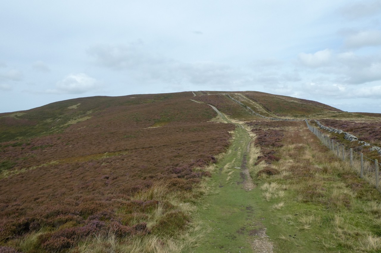
Eventually the Path passes a little to the west of the Moel Llys-y-coed's 465-metre summit then immediately bends left with the boundary wall to descend steeply into the pass between Moel Llys-y-coed and Moel Arthur (picture 29), whose dome-shaped top is encircled by another hillfort.
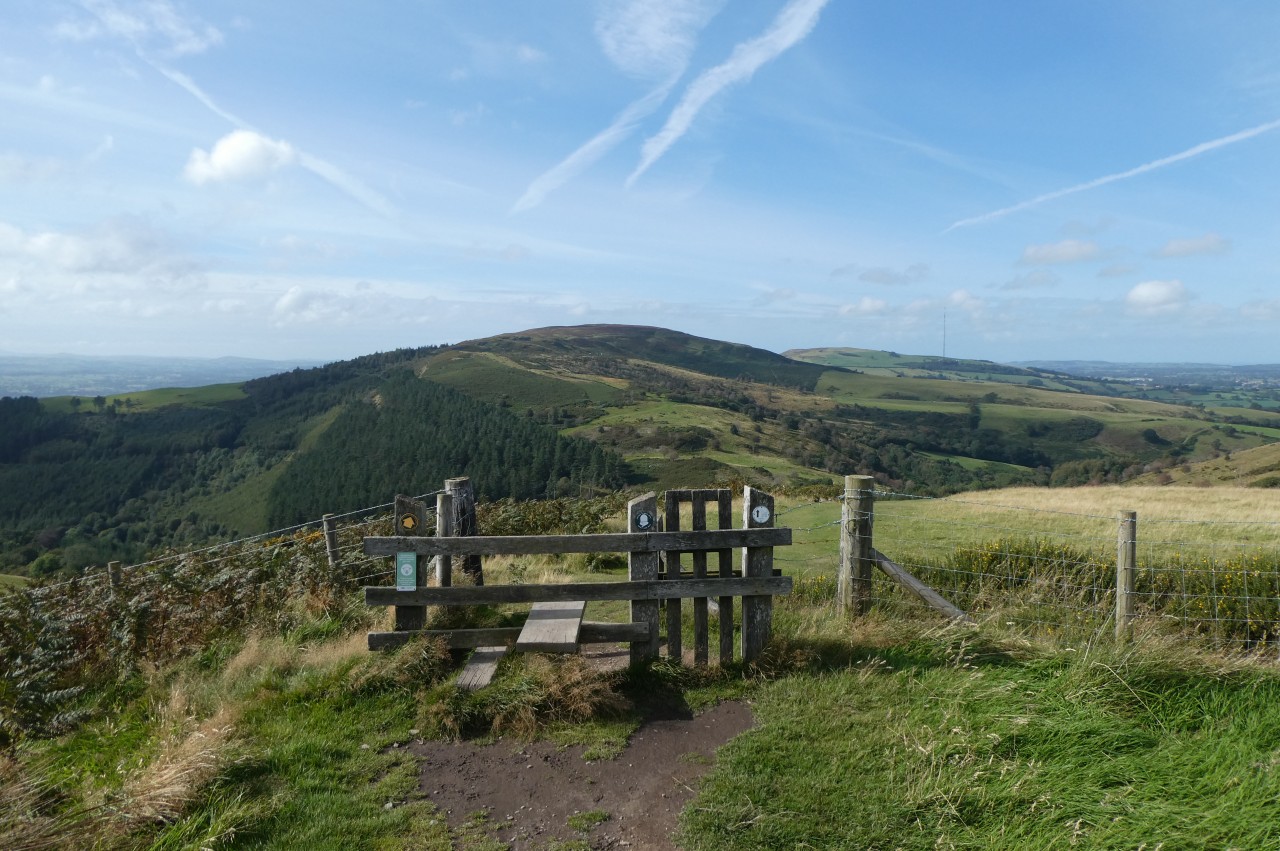
On reaching the narrow road that runs through the pass, the Path turns through a wooden gate in the boundary wall to begin the National Trail's first foray into Flintshire. The adjacent carpark was not nearly as busy as the one below Moel Famau — there were only two cars and no humans in sight.
On the other side of the carpark, an information panel gives the history of the hillfort and a fingerpost points up a narrow footpath that climbs over the heathery eastern shoulder of the hill. The Offa's Dyke Path doesn't go up to the hillfort, but over on the north-eastern side of the hill the Path passes an upright stone slab that marks the beginning of another path that does go up to the fort. From that point, reaching the summit only requires a diversion of about three hundred metres each way and forty metres elevation.
Interestingly, the hillfort has only a single bank and ditch around the steep southern side, but double banks and ditches around the more gently sloping northern side. The boundary wall comes straight up the southern side of the hill but takes an abrupt left turn to skirt around the ramparts, leaving the entire hillfort in Flintshire.
Back on the National Trail, I followed the well-worn footpath through the heather for another five hundred metres to reach a stile with provision for dogs as well as humans and a good view ahead across the next valley to the rounded ridge of Penycloddiau (picture 30), which is the site of a much larger hillfort.
The Path descends quite steeply into the valley, crossing a couple more stiles before converging with the boundary wall once again just before reaching a minor road and finally leaving the Moel Famau Country Park.
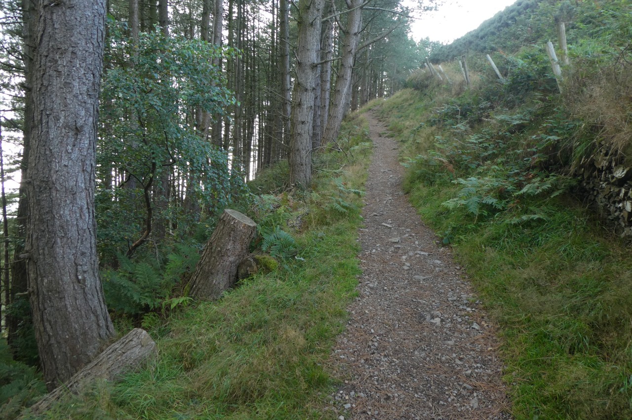
Turning right along the road, the Path soon branches left to reach a Forestry Commission of Wales carpark on the edge of their Coed Llangwyfan plantation, re-entering Denbighshire. Between a pair of information panels at the back of the carpark, a gate bearing the familiar National Trail acorn symbol indicates the beginning of a steady climb up through the edge of the forestry plantation (picture 31), staying just on the Denbighshire side of the wall. (The OS map incorrectly shows the route on the Flintshire side of the wall.)
After eight hundred metres, the footpath crosses a stile in the boundary wall, leaving the Forestry Commission land and briefly reuniting with the route marked on the OS map to climb the short distance up and over the ramparts of the Penycloddiau Hillfort. Here the OS map is in error once more, showing a non-existent route following the boundary wall along the ramparts on the left, while the obvious and waymarked route actually heads straight up the middle of the pear-shaped enclosure (picture 32), which is around 2,500 years old and at 26 hectares is the largest of the hillforts visited on the Offa's Dyke Path.
(33) Summit of Penycloddiau
(34) Descending from Penycloddiau
(35) Aifft
(36) Ty-newydd
Crowning the 440-metre summit of Penycloddiau is a Bronze-Age burial mound (picture 33), evidence that the hill was inhabited at least 1,500 years before the Iron-Age hillfort was constructed.
On the other side of the mound, the Offa's Dyke Path descends a long flight of stone steps through the double ramparts (picture 34) and continues down through the gorse to cross a stile in a fence and leave Flintshire for the last time. Ahead, an obvious path climbs over a small rise and descends across an expanse of cottongrass with patches of gorse then drops around the right side of a large hump to cross a tiny stream and turn right through a farm gate on a gravel track.
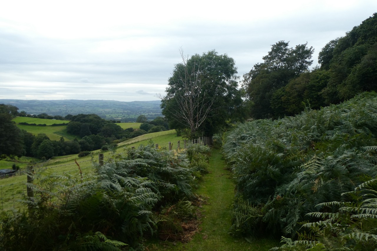
The Path only stays on this track for a few paces, however, turning left to cross a stile set back about ten metres up a grassier track. This track soon becomes more stony as it descends steadily around the curve of Aifft into a sheltered combe (picture 35), passing through at least four more farm gates before an ODP fingerpost finally directs the walker off the farm track and onto a grassy bridleway through waist-high ferns (picture 36) overlooking the farm buildings of Ty-newydd down to the left.
(37) View toward Bodfari
(38) The Grove Hall
(39) The Downing Arms, Bodfari
(40) Church of St Stephen and The Dinorben Arms, Bodfari
As the bridleway heads out of the combe onto the more exposed lower slopes of Moel y Parc, the delicate ferns thin out and the hardier gorse takes over once more. About eight hundred metres after joining the bridleway, the Path reaches a fork where the day's destination, the village of Bodfari, first comes into view with the prominent whitewashed tower of the Church of St Stephen standing above the houses (picture 37).
The Offa's Dyke Path now drops down to the left of the bridleway to descend a series of rough meadows on Grove Hall Farm, gradually curving around to pass to the right of The Grove Hall, with it's prominent domed clock tower (picture 38).
Next to a two-storey house, the Path crosses a stile and continues a few paces down the farm drive to turn left along a narrow, unnamed lane. At the end, the Path turns right then soon left onto an even narrower lane and at the next bend a fingerpost points right, off the lane, along the edge of a sheep pasture and over a footbridge across the infant River Wheeler. Ahead, a fenced path leads up to the A541 and the village of Bodfari.
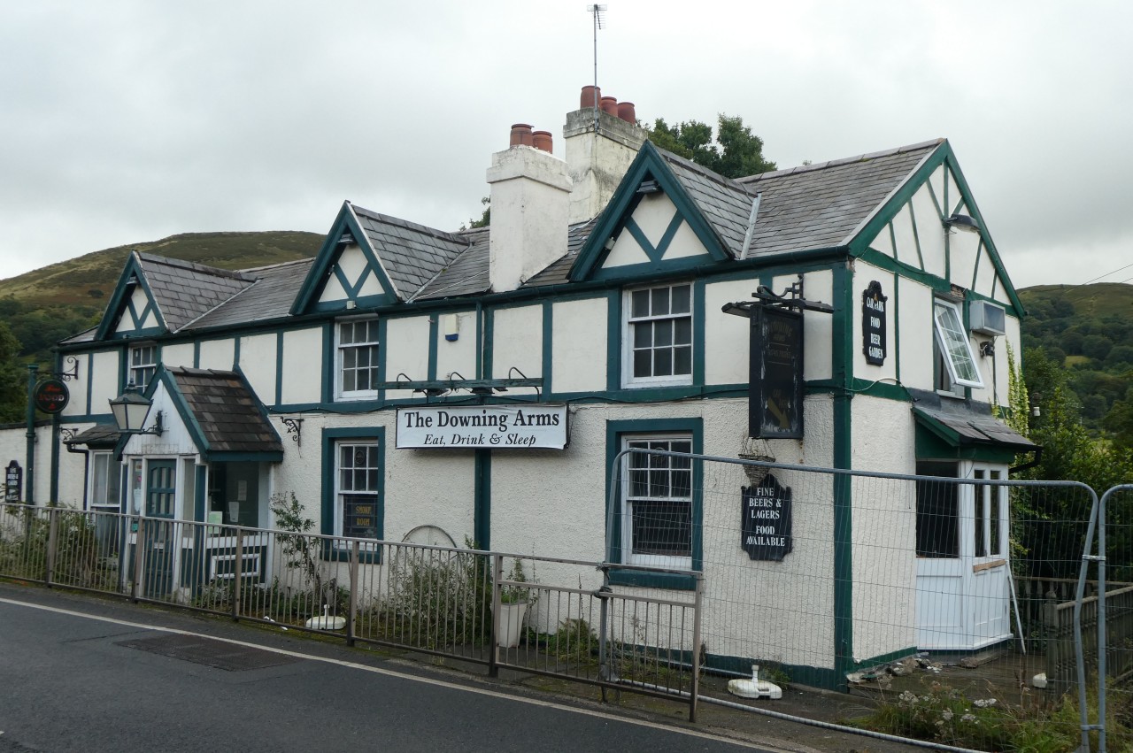
I crossed the road and turned right, following the pavement to the next lane on the left, which leaves the main road opposite the Downing Arms pub. I had planned to leave Offa's Dyke Path here and visit the pub for dinner, but sadly the pub had gone out of business and was surrounded by temporary fencing (picture 39). (The Google StreetView of April 2022 still shows the pub in exactly the same state.)
Mercifully, Bodfari has a second pub, of which more shortly.
I still left the National Trail here anyway, having walked just on thirty two kilometres in twelve hours, with 29.4 kilometres of that on the Offa's Dyke Path.
A few minutes walk back along the A541 is the Station House Caravan Park, occupying what was once the site Bodfari's station on the Mold and Denbigh Junction Railway, which operated from 1869 until 1962. For a small fee, I pitched my tent on a grassy spot while I chatted to an American gentleman who had just finished his first day walking the Offa's Dyke Path southbound.
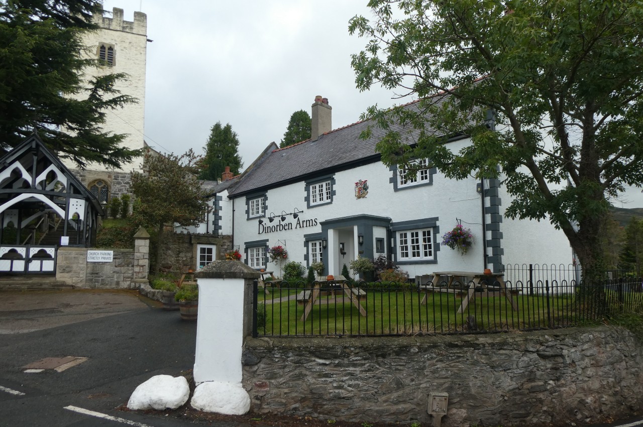
When we were both setup for a night under canvas, we wandered the short distance up the B5429 to the higher part of the village, chatting about our experiences on the trail so far. We soon found the modern Dinorben Arms pub, which occupies four conjoined buildings next to the church (picture 40). After an excellent meal and a couple of ales we headed back down to the caravan park at what my new friend called "hiker midnight" (nine o'clock), a term that I hadn't heard before but have heard from several other Americans since.