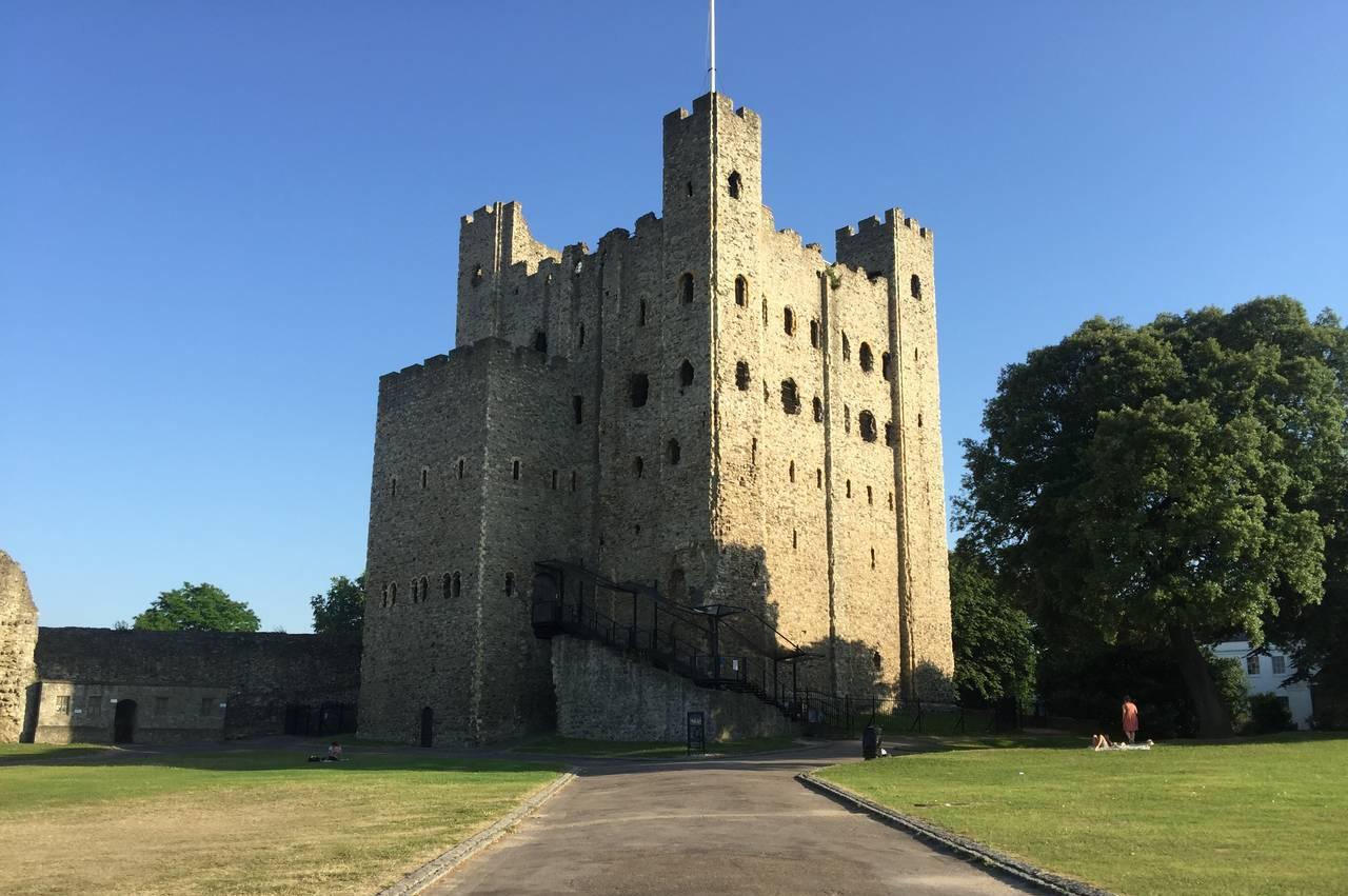
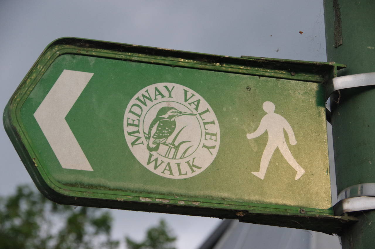
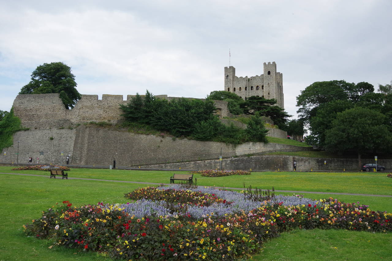
Medway Valley Walk
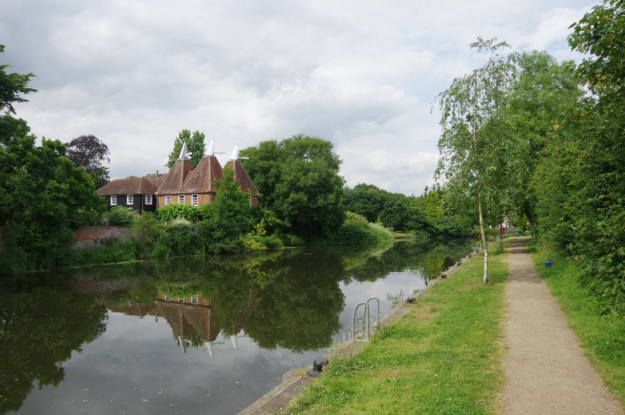
The Medway Valley Walk is a 48.2 kilometre walk between Tonbridge, on the edge of the Weald, and the historic port town of Rochester, starting and ending within sight of a pair of medieval castles. For most of its length, the walk follows the River Medway fairly closely, only departing a significant distance from the river for a few kilometres between Wouldham and the outskirts of Rochester. The walk can be comfortably completed by most walkers in two days, and the county town of Maidstone, just beyond the halfway point, is by far the most convenient place to break the walk.
The walk covers less than half of the length of the River Medway, however. The river rises on Turners Hill in Sussex, flows across the Weald, through a gap in the North Downs and past the heavily populated Medway towns of Rochester, Chatham and Gillingham to empty into the Thames Estuary near Sheerness, after a total of 113 kilometres. A number of other rivers and streams add their volume to the Medway along its course.
Originally the Medway was only navigable to Maidstone, but from 1746 to 1792, eleven locks were built between Allington, a short distance downstream from Maidstone, and the centre of Tonbridge. These locks made the river navigable as far as the village of Leigh, five kilometres upstream from Tonbridge. Ten of the eleven locks are still in use and all are passed on the Medway Valley Walk.
The Walk connects with several other long-distance paths. The first six kilometres are shared with the Wealdway and a short stretch a little further downstream coincides with the Greensand Way. Approaching Rochester, a couple of kilometres are shared with the North Downs Way and the end of the Walk meets the Saxon Shore Way.
Day 1
Tonbridge to Maidstone
21 Jul 2016
26.8km
Day 2
Maidstone to Rochester
22 Jul 2016
21.4km