THE THAMES PATH
Stage 13: Thames Barrier to Crayford Ness
Tuesday, June 21, 2011
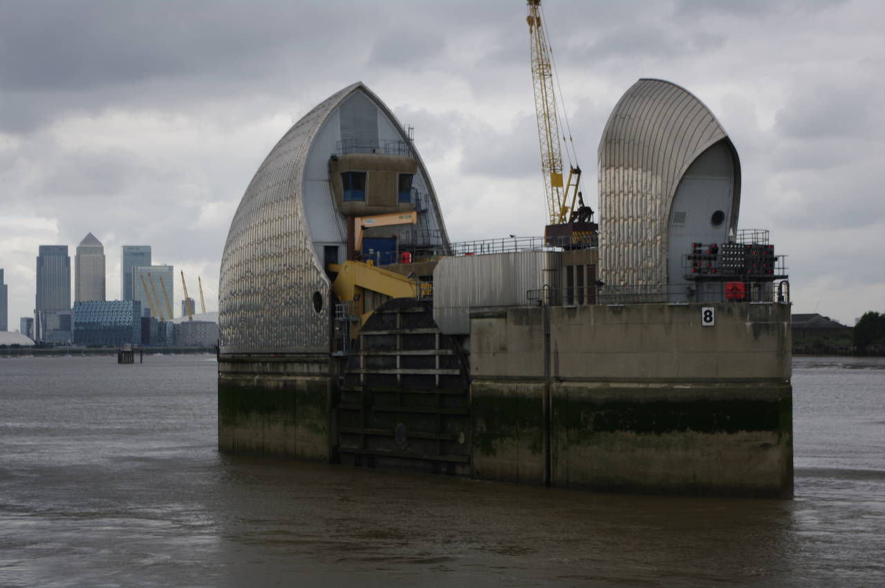
(1) The Thames Barrier
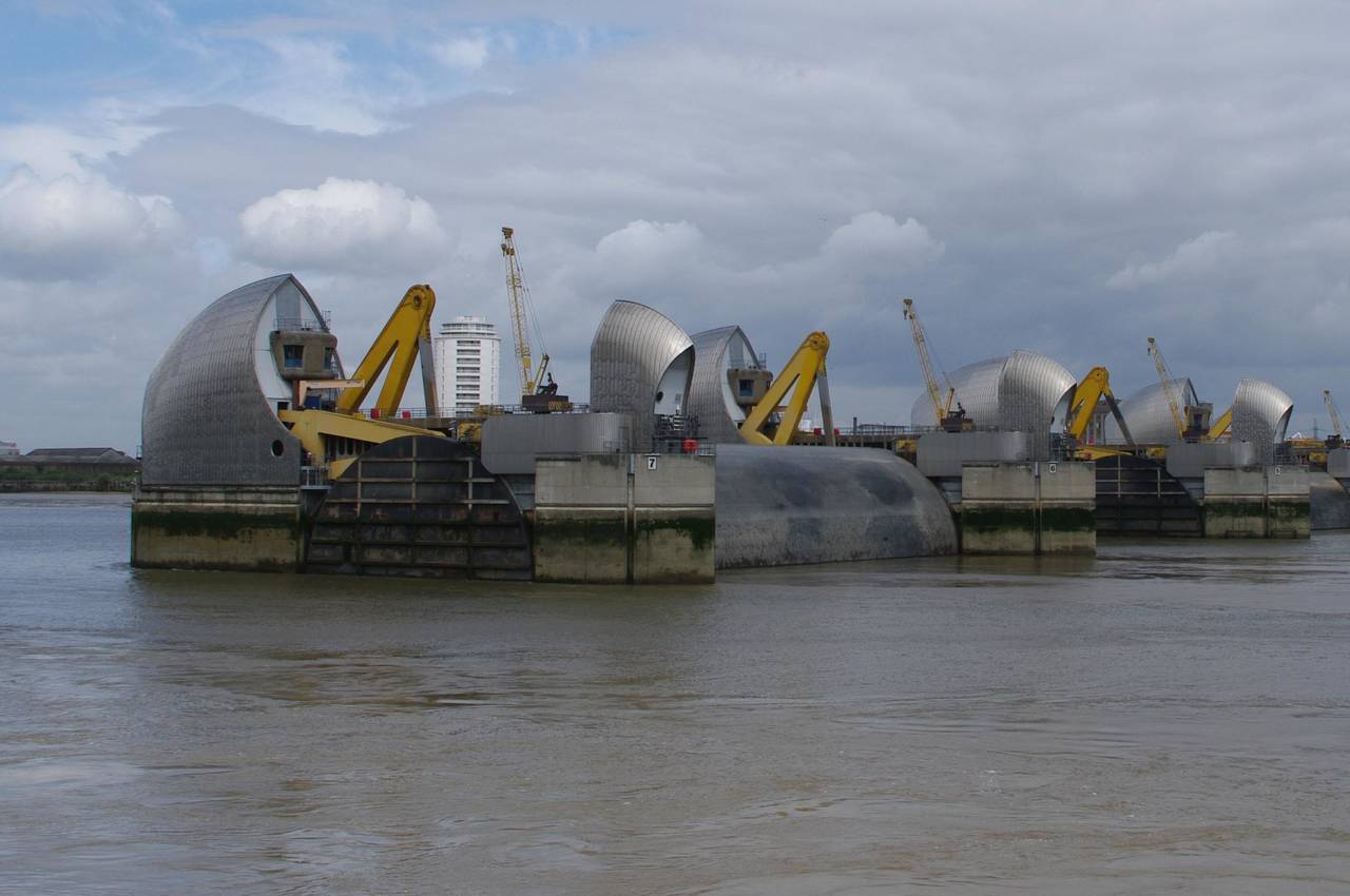
(2) The Thames Barrier with raised floodgate
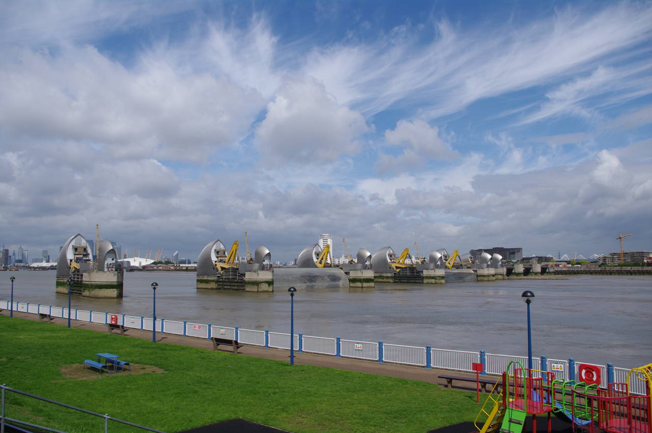
(3) The Thames Barrier
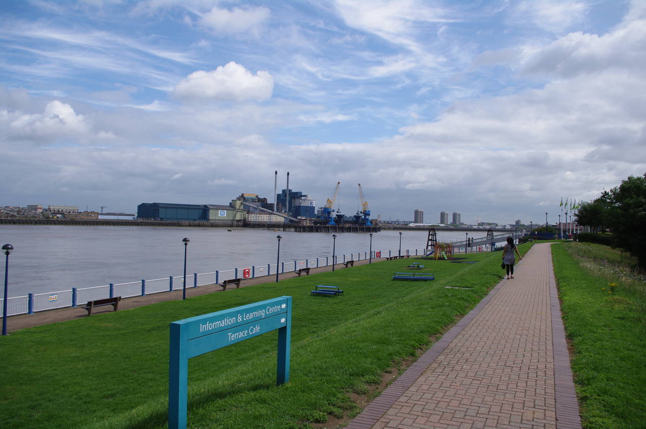
(4) View downstream from the Thames Barrier
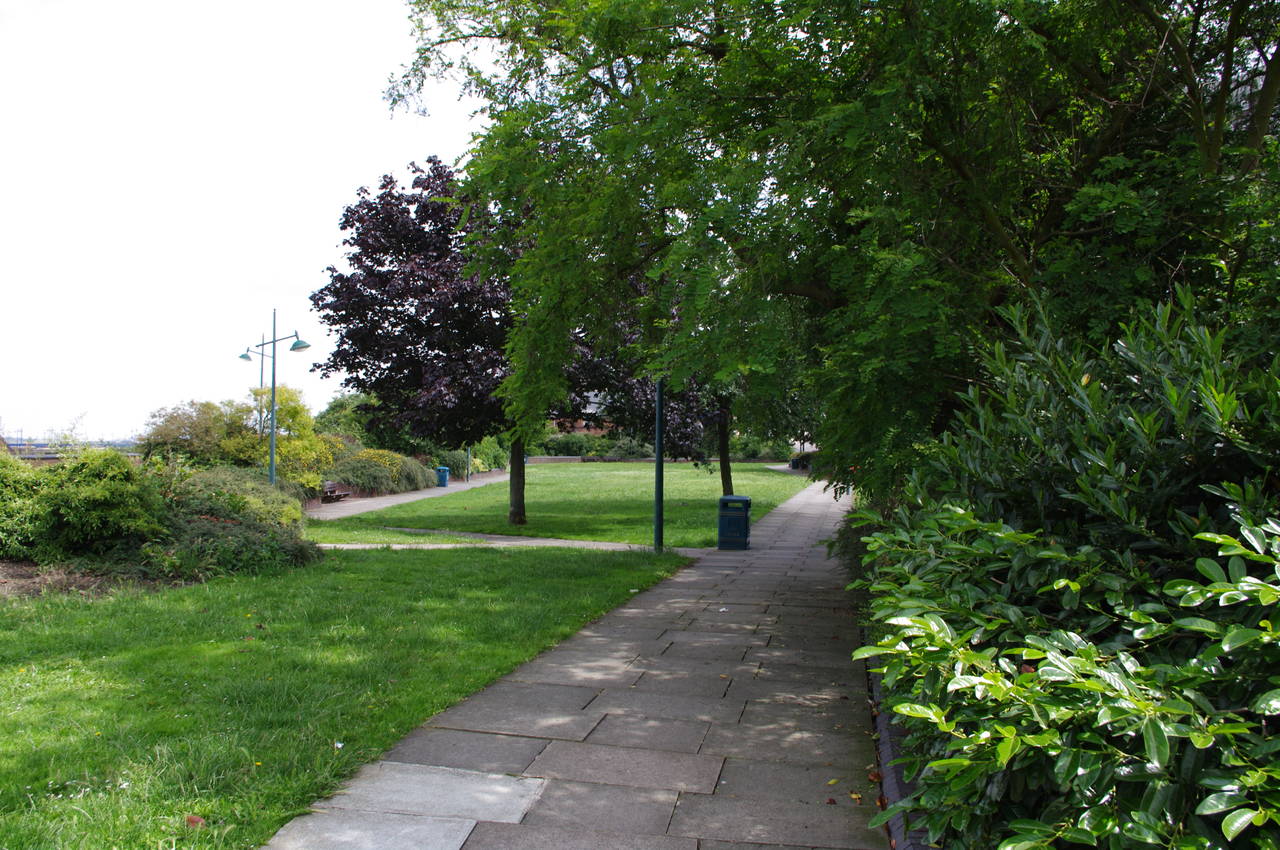
I began my final day's walk along the River Thames in the little park on the downstream side of the Thames Barrier. Today's section of path is not part of the official Thames Path National Trail, but rather is the Thames Path Southeast Extension, promoted by the local authorities through which the path passes.
Before setting off, I spent some time looking at the machinery of the Thames Barrier (picture 1) and was fortunate enough to be around when a couple of the 61-metre wide central flood gates were raised for maintenance (picture 2).
The little park is backed by a high floodbank, and the route of the Thames Path Southeast Extension climbs up some steps over the floodbank and away from the river for a while. From the top of the floodbank there were good views upstream towards the Millennium Dome (picture 3) and downstream, where some large industrial sites could be seen on the far bank (picture 4).

(5) The White Horse, Woolwich
(6) Nautical bridge, Woolwich
(7) Cannon on the Woolwich riverside
(8) Approaching Woolwich Ferry
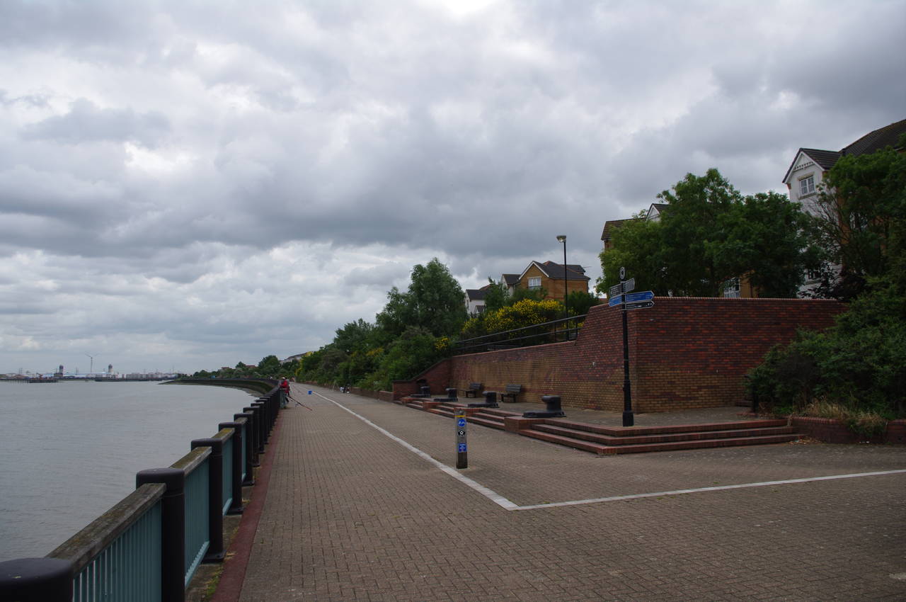
Once over the floodbank the route follows a paved footpath ahead through another small park. When the footpath ends, the route heads diagonally left across a small car parking area between two buildings before crossing a minor road and following a footpath through another long, narrow park to reach the busy Woolwich Road.
The route follows the road to the left, soon passing the White Horse pub on the other side of the road (picture 5), before reaching a roundabout where the path takes the second street on the left, Ruston Road. The route follows Ruston Road past a large warehouse, before reaching a corner by a red postbox where a signpost points left into a residential street that is confusingly also called Ruston Road. At the end of this road, the path turns right along Harlinger Street, at the end of which the route turns left across a carpark and through a gate to return to the riverside.
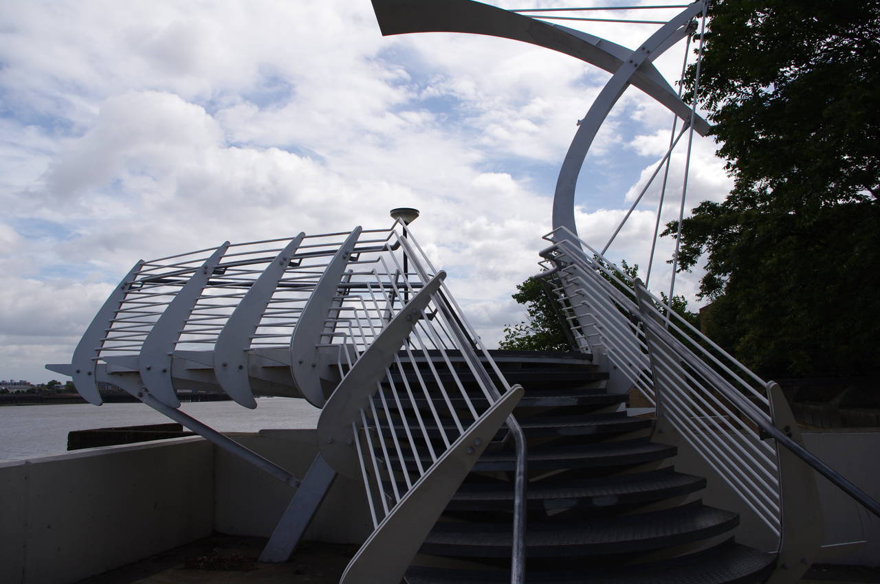
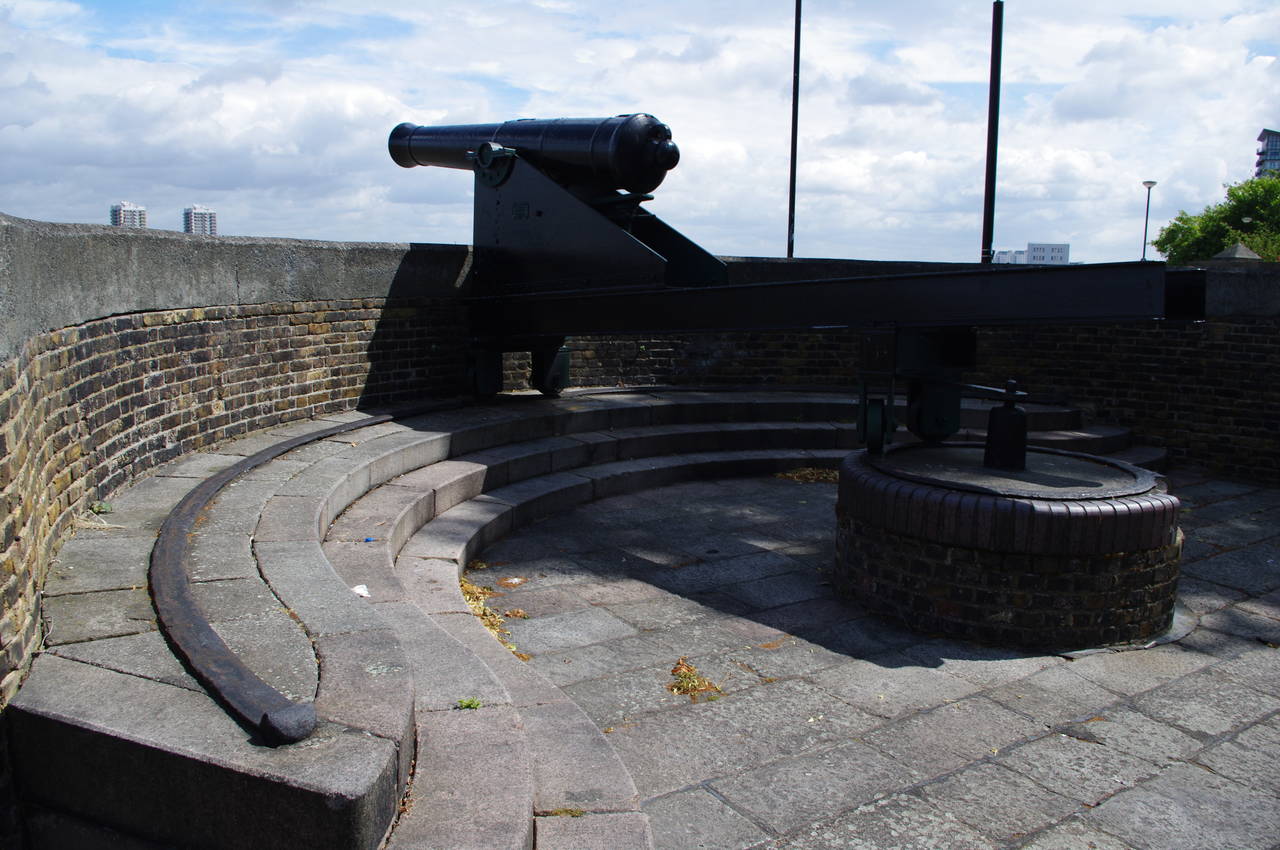
The riverside path soon crosses a strange, but obviously nautical little bridge over a wall (picture 6), and a little further on the path passes by two cannons mounted on carriages that move around semi-circular rails (picture 7), a reminder that the old Woolwich Arsenal is nearby. The path then passes some modern apartment buildings and a car park to cross over the approach road of the Woolwich Ferry (picture 8).
(9) Woolwich Arsenal
(10) View downstream from Woolwich Arsenal
(11) View towards London City Airport
(12) Soldiers on the Thames Path
Once across the road, the path has to skirt briefly around the ferry terminal via Woolwich High Street and Glass Yard before rejoining the riverside walk in front of the domed entrance of the Woolwich Foot Tunnel. The 1912 tunnel would normally allow pedestrians to cross under the river, but on this occasion was closed and covered in scaffolding and plastic as part of a major upgrade which began in March 2010 and has run considerably overtime due to structural problems found during the works.
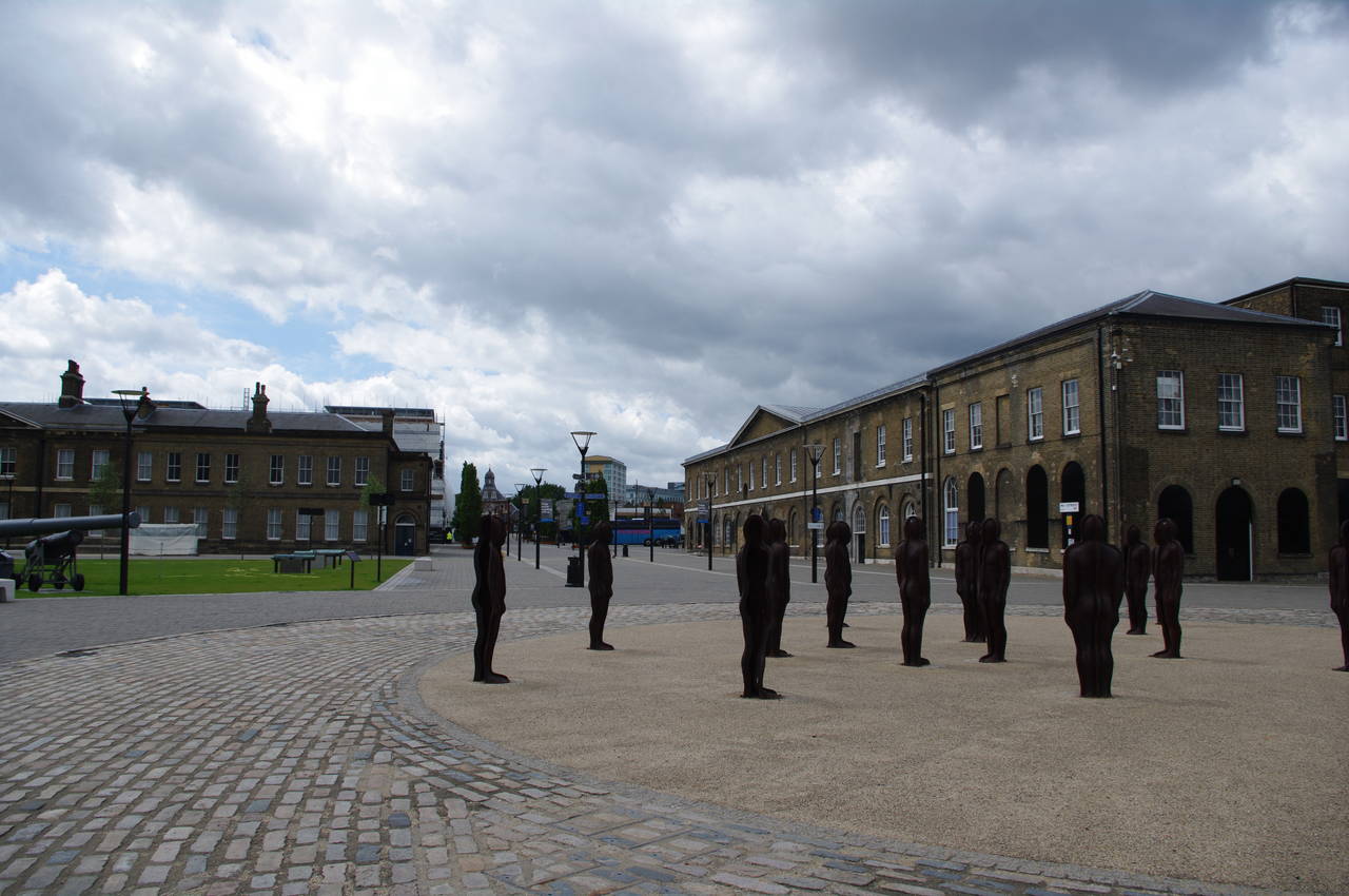
The path soon skirts around a slipway then continues along the riverside walkway, passing a pleasant grassy park before reaching the buildings of the Woolwich Royal Arsenal. Reaching an open area by a couple of small octagonal buildings and the gangway to the Woolwich Arsenal Pier, I found a group of around twenty hollow sculptures of human figures (picture 9).
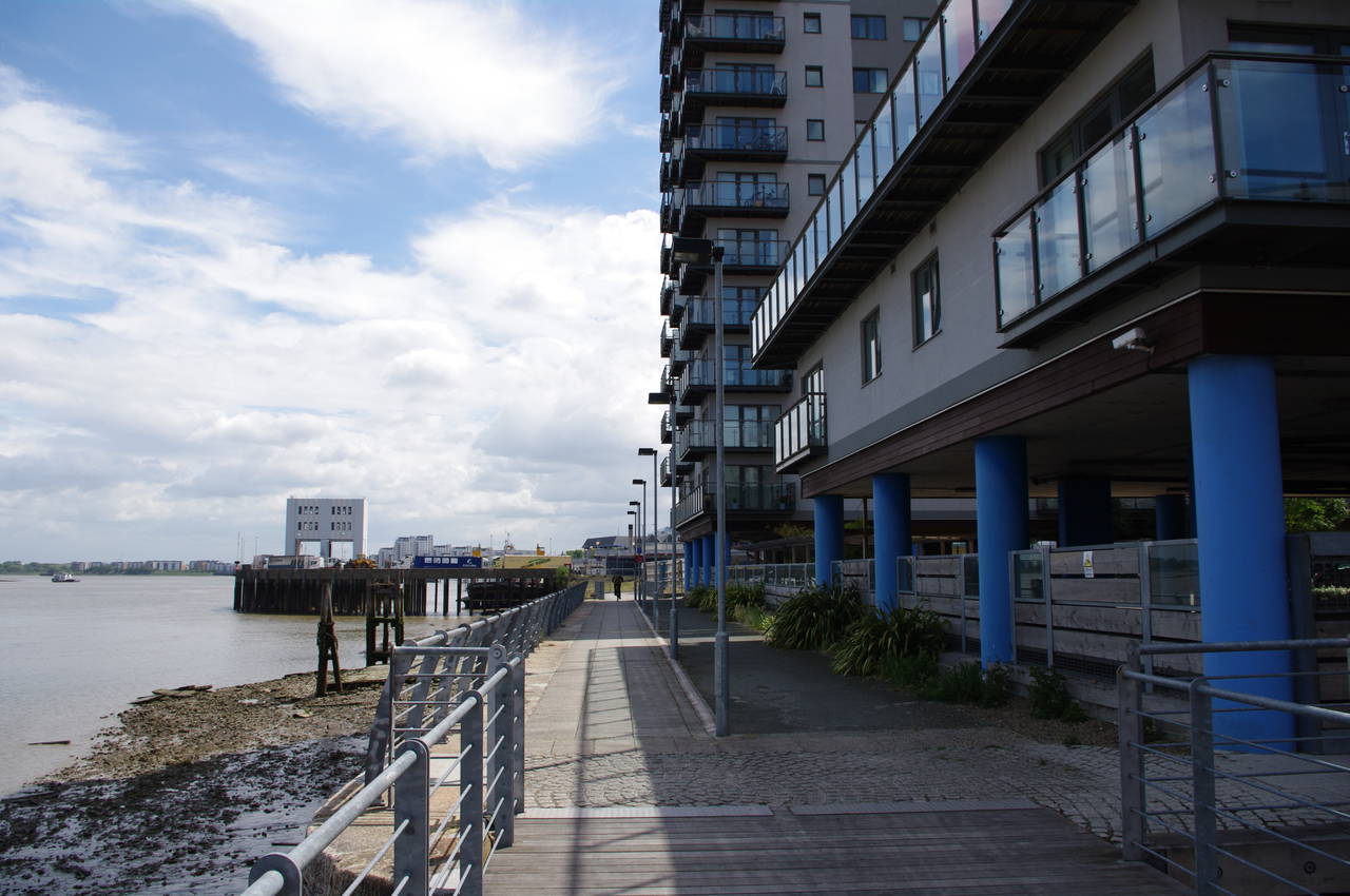
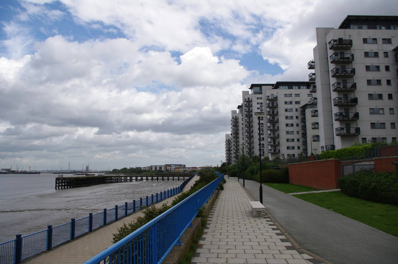
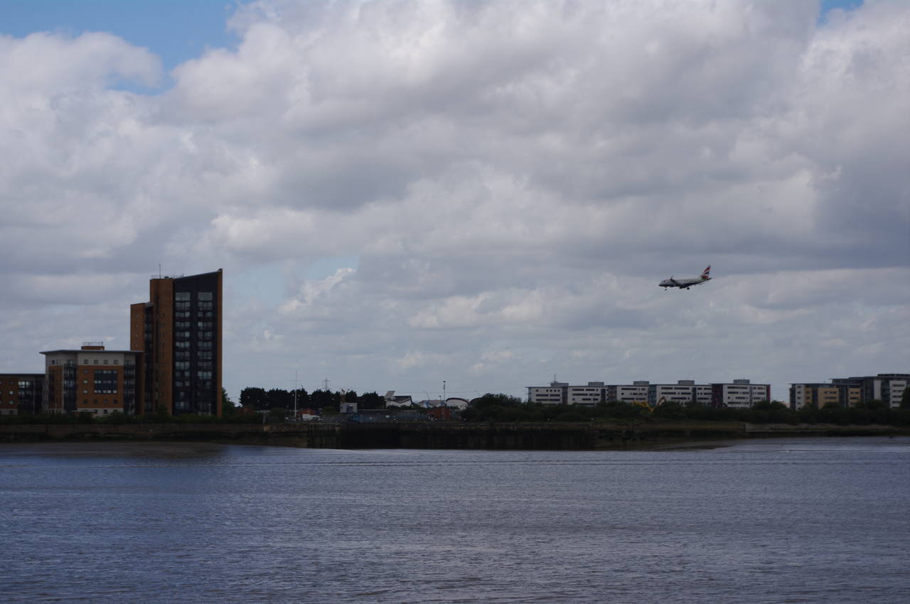
The next stretch of the riverside walk passes a succession of apartment buildings as the river curves around to the north-east. Several large piers stretch out into the river here (picture 10), while across the river I could see a regular stream of aircraft coming in to land at the London City Airport (picture 11).
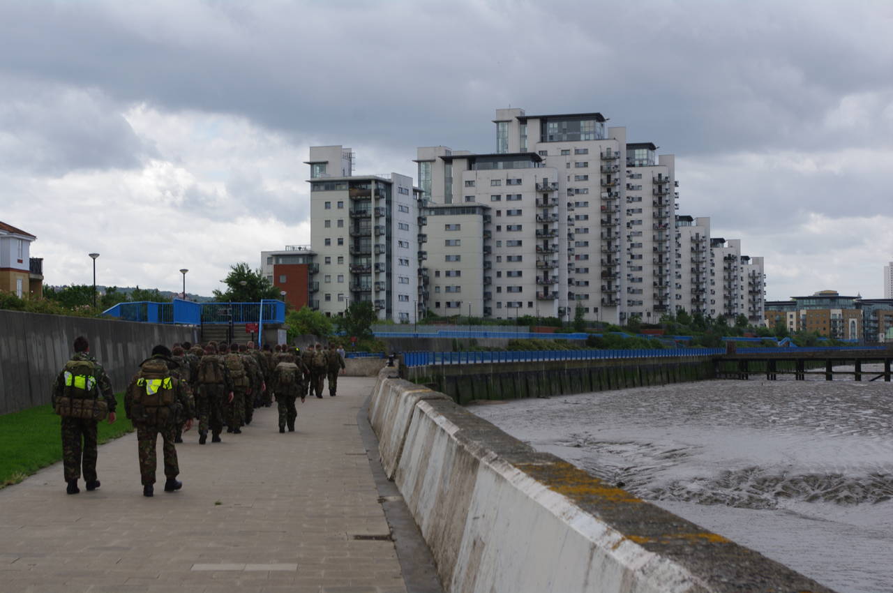
Just beyond the last of the apartment buildings I was passed by a squad of soldiers heading the other way, carrying very heavy looking packs (picture 12).
(13) View towards Barking Barrie
(14) Thamesmead
(15) Crossness Engines Industrial Museum

(16) Crossness Incinerator
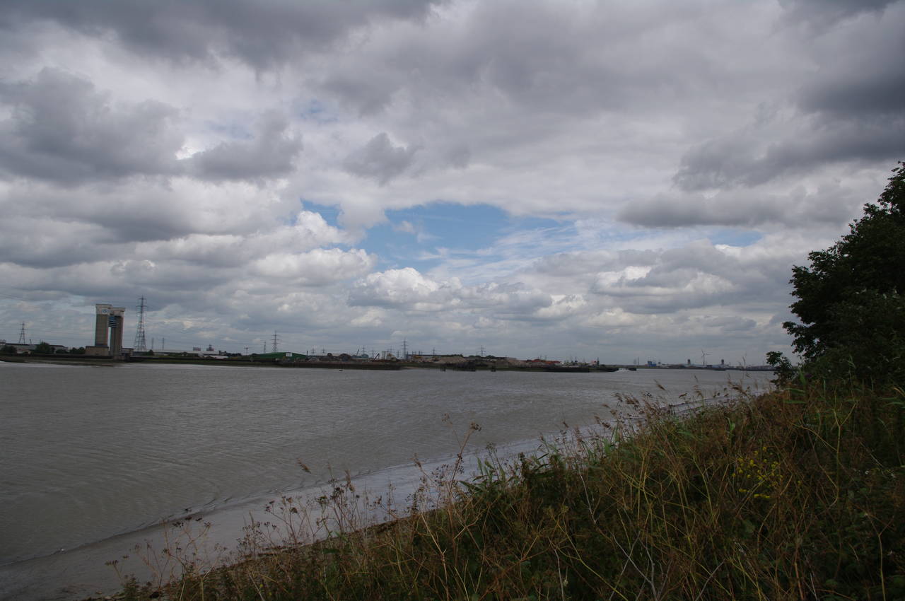
The path soon reaches a metal gate where the broad paved footpath ends and the route follows a gravel path through riverside bushland as the river curves back to the right around Tripcock Ness. Across the river is Europe's largest sewage works at Beckton and the tall towers of the Barking Barrier (picture 13), another part of London's flood defences, which prevents tidal surges from flooding Barking Creek.
The path passes a concrete pillbox built into the riverbank, after which the path becomes paved once again. Eventually, the path reaches the suburb of Thamesmead, where the path becomes a wide promenade as it passes by riverside houses (picture 14).
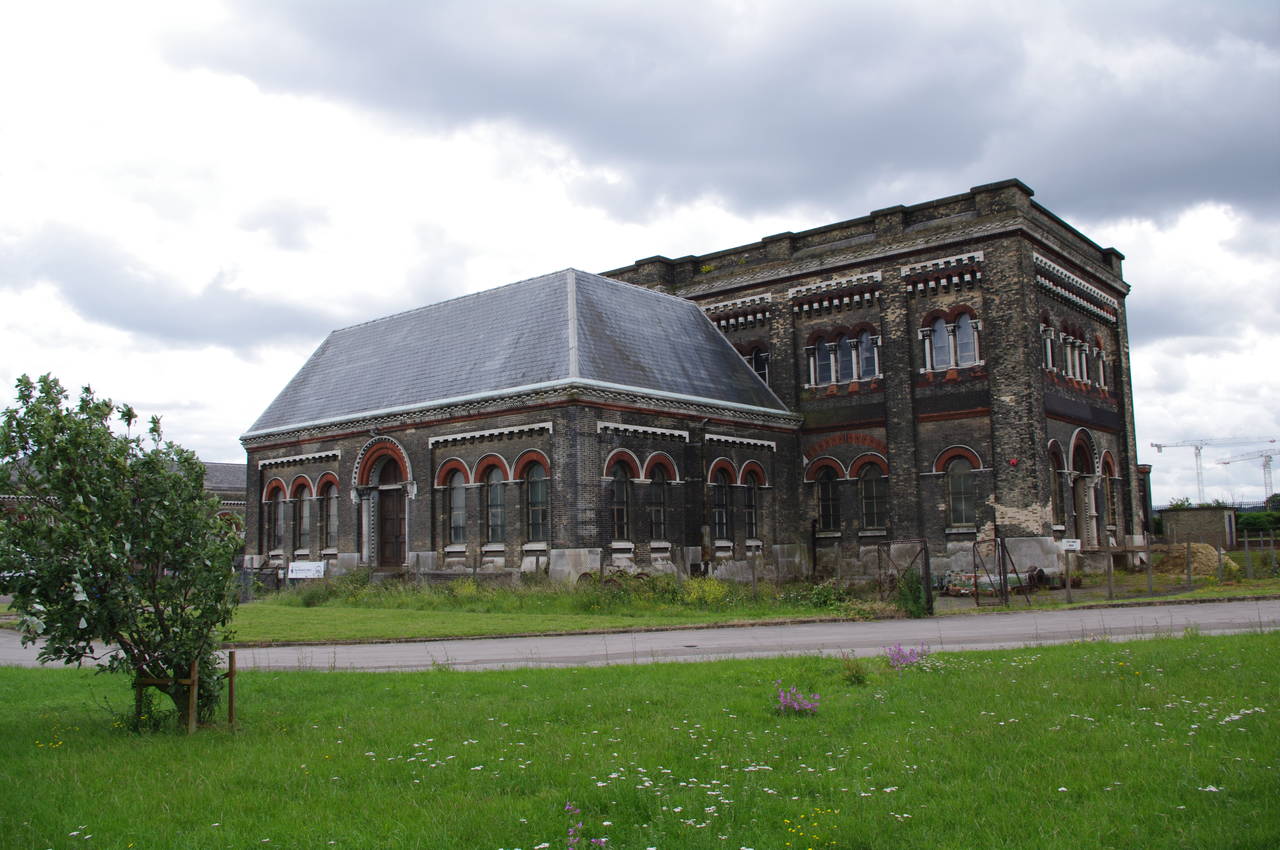
After about a kilometre, the promenade ends at some large stone blocks and another gravel footpath takes the route around a gentle bend in the river at Cross Ness, passing some more houses and a golf driving range before reaching the Grade I listed Crossness Engines Industrial Museum (picture 15), built in the 1860's as a pumping station for London's sewage system.
Beyond the museum, the riverside path runs for around a kilometre alongside another massive sewage works, Britain's second largest, which serves the needs of around 1.6 million people. The smell on this part of the path was quite incredible and I was not inclined to stop to read the information panels posted at intervals along the path. Beyond the sewage works stands the strangely-shaped Crossness Incinerator (picture 16), which burns the sewage sludge from the sewage works to generate electricity.
(17) Riverside path, Crossness
(18) Disused jetty, Erith
(19) Erith Riverside Gardens
(20) Erith Deep Water Wharf
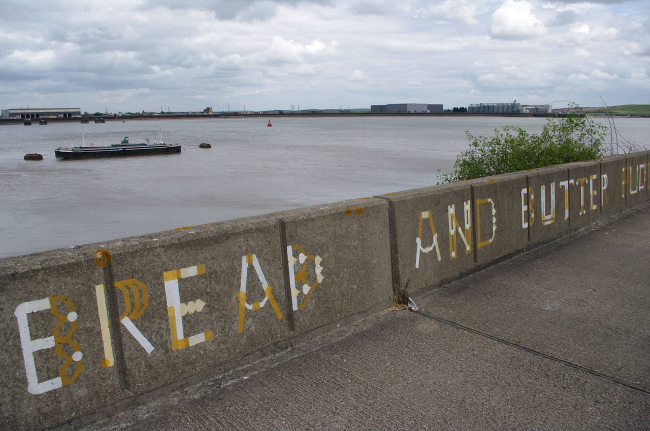
The path now passes by the Crossness Nature Reserve before a long two-and-a-half kilometre stretch through an industrial area, where the path passes by a series of unphotogenic factories, many linked with large jetties by overhead conveyors. There wasn't much of interest along this part of the river, aside from a series of seemingly random phrases painted on the flood wall (picture 17) -- the one in the picture says "bread and butter pudding".
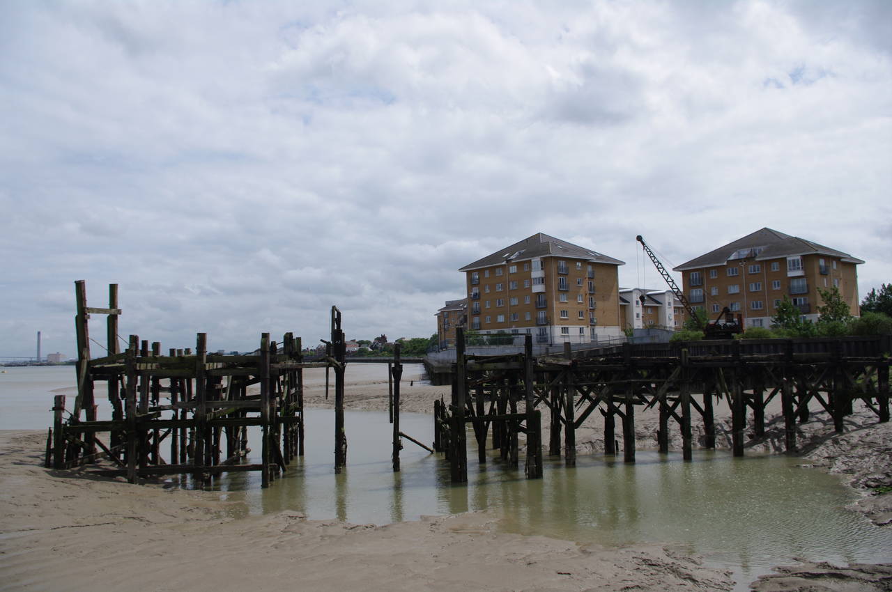
Eventually the path reaches the riverside houses of Erith, where there were several old jetties in advanced stages of decay (picture 18). The route follows the riverside walkway past a variety of apartment buildings before heading around a small inlet and into the pleasant Erith Riverside Gardens (picture 19), where I sat down for a short rest. Another long-distance walking path called the London Loop, which runs for 240km around the fringes of Greater London, starts in the Erith Riverside Gardens and shares the remainder of the Thames Path route.
At the far end of the gardens the route joins the Erith High Street, heading uphill a short distance to an intersection where the route turns left into Carisbrook Street, which leads back downhill to the riverside walkway near the Erith Deep Water Wharf (picture 20).
(21) View across the Thames to Rainham Marshes
(22) View across Crayford Marshes to Northfleet
(23) A yacht on the Thames
(24) The end of the path at Crayford Ness
The return to the riverside is brief, as the path passes a couple of apartment buildings before turning away from the river to follow James Watt Way a short distance up to an intersection where the route bears slightly left to follow Appold Street up to a left turn into Manor Road, where the Royal Alfred pub seemed to be boarded up.
The route follows Manor Road for around a kilometre to the far end of an industrial area, where a signpost just beyond the last buildings directs the route along a yacht club access road, which soon bends to the right before passing through a metal gate and up on to the floodbank of the Crayford Marshes.
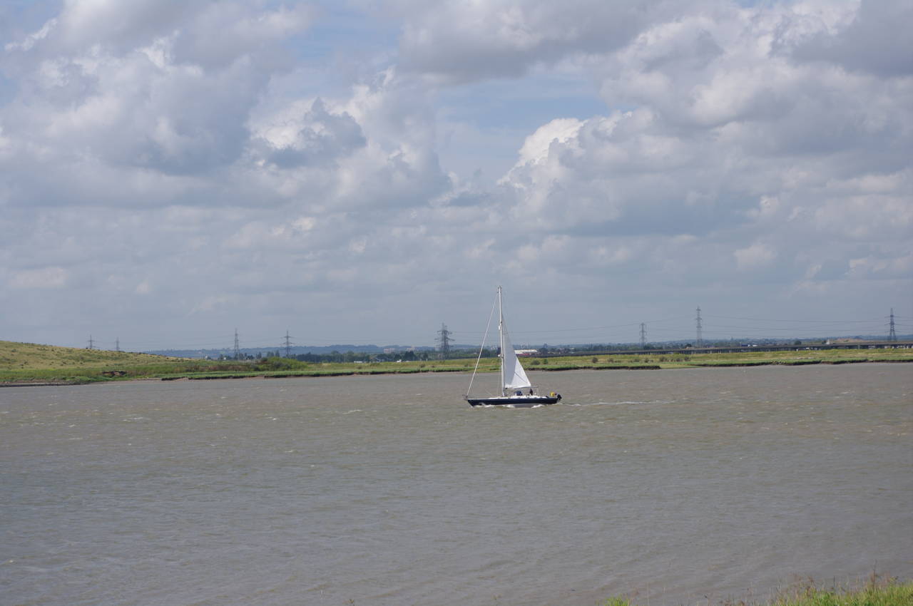
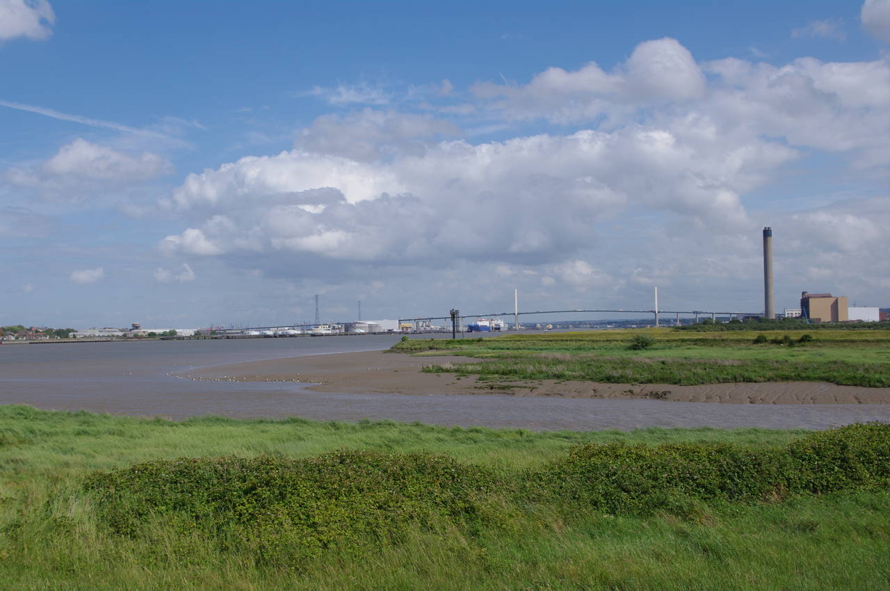
The final stretch of the Thames Path follows the floodbank across the marshes for around a kilometre to another industrial area at Crayford Ness. Along the way there are good views across the open marshes and over to Rainham Marshes on the far side of the Thames (picture 21) and downstream towards the Queen Elizabeth II Bridge and the Northfleet Power Station in the distance (picture 22). On the river there were a number of yachts sailing up and down in the bright early afternoon sun (picture 23).
Reaching the industrial area, the path atop the floodbank continues for a few hundred metres to a right-hand bend in the river, where a signpost signals the end of the Thames Path Southeast Extension (picture 24). My GPS unit showed that I had covered 16.6km since leaving the Thames Barrier.
(25) Mouth of the River Darent
(26) Deptford Creek Flood Barrier
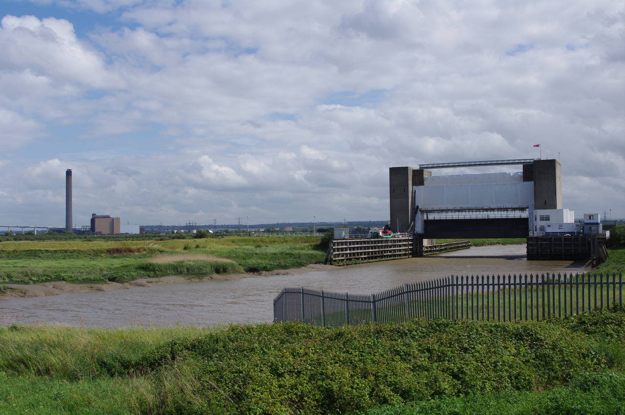
From the end of the Thames Path Extension, the nearest railway station is at Slade Green, which almost three kilometres walk. To reach it, I first followed the route of the London Loop, which runs for about four hundred metres to the mouth of the River Darent (picture 25), of which the tidal section is known as Deptford Creek, where another flood barrier protects the river from tidal waters coming up the Thames from the North Sea (picture 26).
I then followed the London Loop along the floodbank beside the river for just over a kilometre, until at a bend in the river the footpath forks: the London Loop heading off to the left and another footpath continuing straight ahead across Crayford Marshes for another kilometre towards the houses of Slade Green.
Reaching the edge of the suburb, it was a couple of blocks walk straight ahead to reach the station, where I was soon boarding a train back to central London. Back in the city, I spent the rest of the afternoon relaxing in a nice pub reflecting on the past two and a half weeks spent walking along the mighty River Thames.