THE THAMES PATH
Stage 1: The Source to Cricklade
Saturday, June 4, 2011
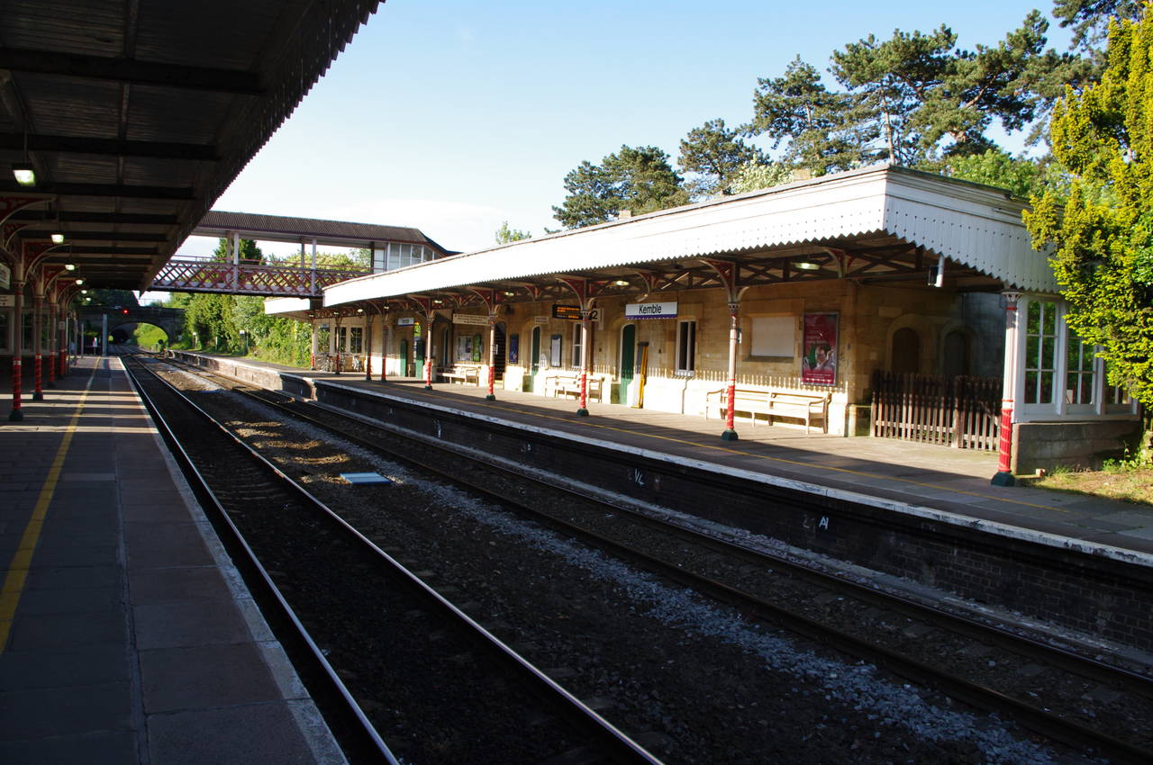
(1) Kemble Station
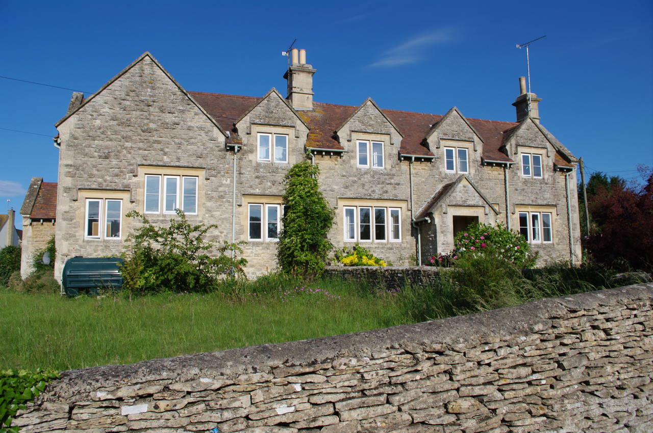
(2) Stone house, Kemble
(3) Joining the Thames Path
(4) Approaching the source
I had been planning this walk for a few months, since shortly after I finished the Saxon Shore Way at the beginning of the Spring. Still somewhat jetlagged from the previous day's flight from Australia, I caught a train at Swindon, alighting just one stop up the line at Kemble (picture 1), the closest railway station to the start of the Thames Path.
The station seems quite grand for a small village, particularly after having crossed the footbridge to the Swindon-bound side, where the large ticket office is built of neat stonework. At the height of the Great Western Railway, Kemble Station was at a junction of three lines, but now only the line between Swindon and Cheltenham remains after the branch lines to Cirencester and Tetbury were taken up in the mid-1960's.
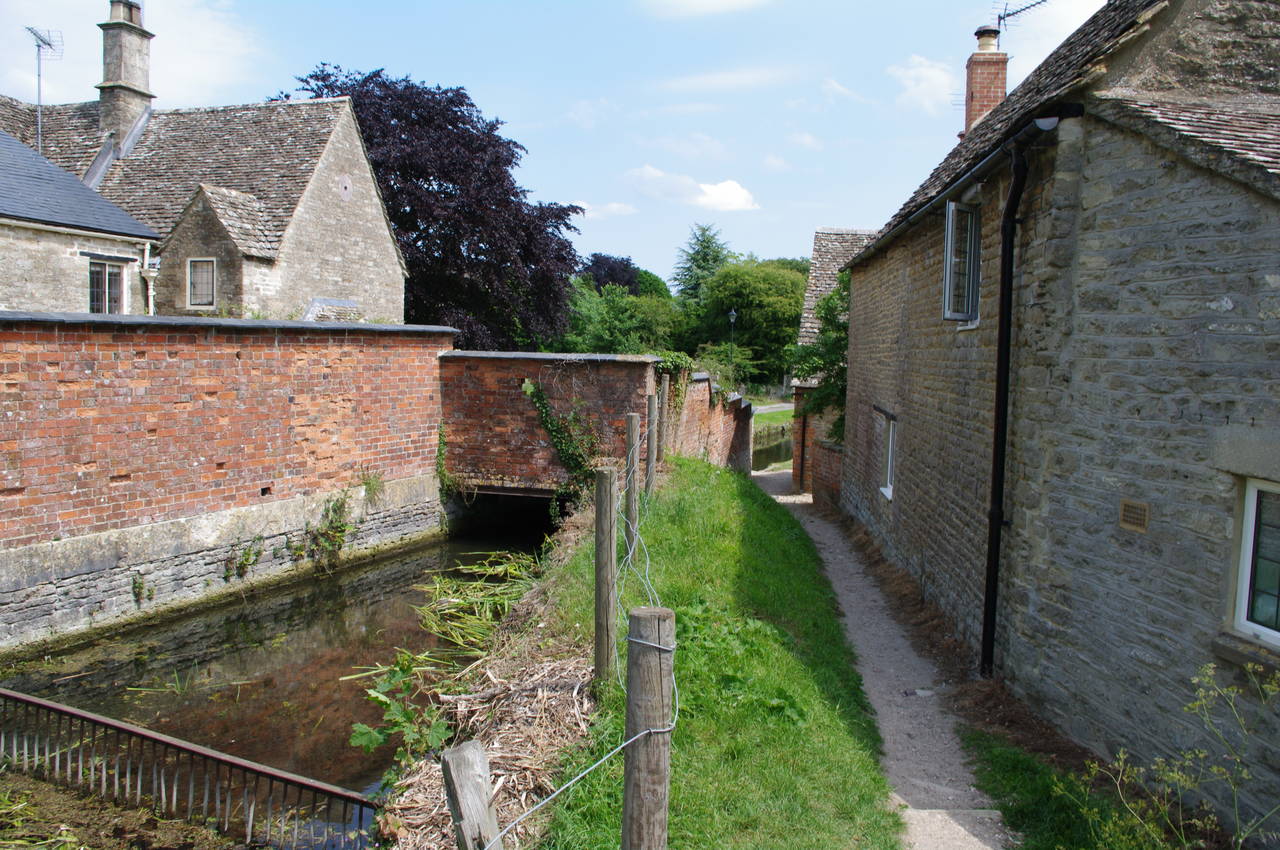
As I made my way through the station car park and along the station approach road, the air was full of the sound of birds chirping away in the early morning sun. On reaching the road, the route towards the Thames Path goes along the road to the left, but first I turned right and walked a few hundred metres along the street and into the village of Kemble, where the many houses and fences made from Cotswold stone were glowing in the morning sun (picture 2).
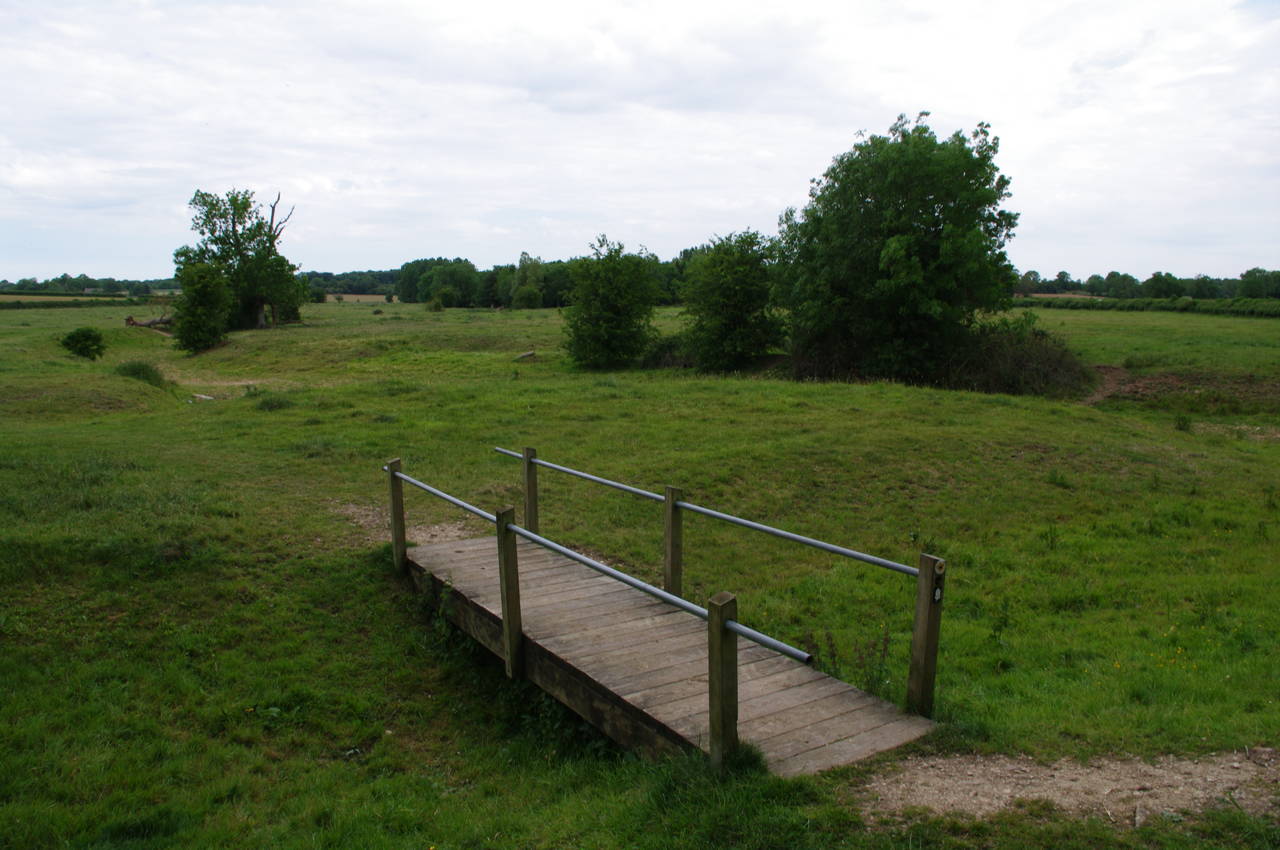
Returning to the point where the station approach road joins the main road, I headed down the hill for a little less than 100 metres to a signpost marked "Wysis Way", which points off to the right along the edge of a pasture. At the far end of the pasture, the path crosses a stile, beside which a small herd of cows were crowded around a drinking trough, and continues ahead for a short distance to a footbridge over a dry tributary of the Thames. This is the point where the Wysis Way meets the Thames Path and I turned left to cross the footbridge and follow the Thames Path up to the official source of the river.
(The Wysis Way is an 88 kilometre long distance trail connecting the Thames Path at Kemble with the Offa's Dyke National trail at Monmouth in South Wales.)
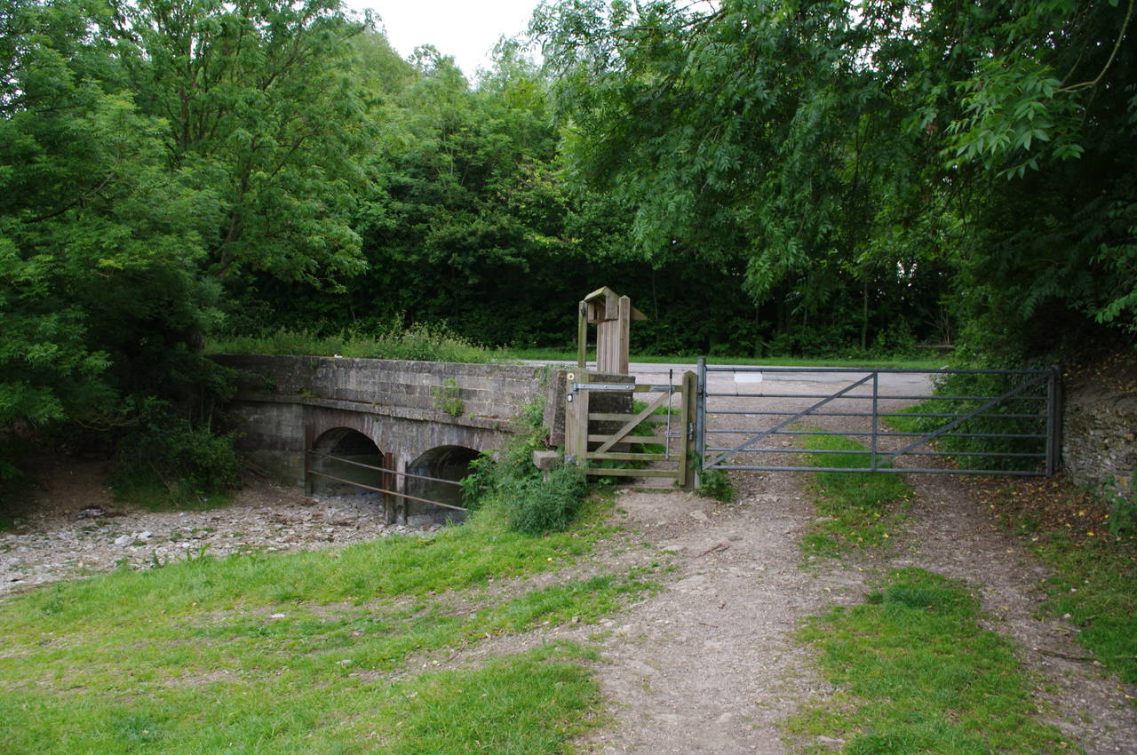
Once over the footbridge, the Thames Path follows the dry, but still obvious, course of the river part of the way across the field before heading diagonally across to the top left corner of the field. There the path goes through two wooden gates on either side of a farm track, continuing along the left edge of the next field until a marker post points diagonally across the remainder of the field to a gate and a set of steps that leads up to the busy A433 Foss Way. The traffic here is fast, so one must be very careful crossing the road here before going down the farm track opposite, through a gate and along the track near the left edge of the next field.
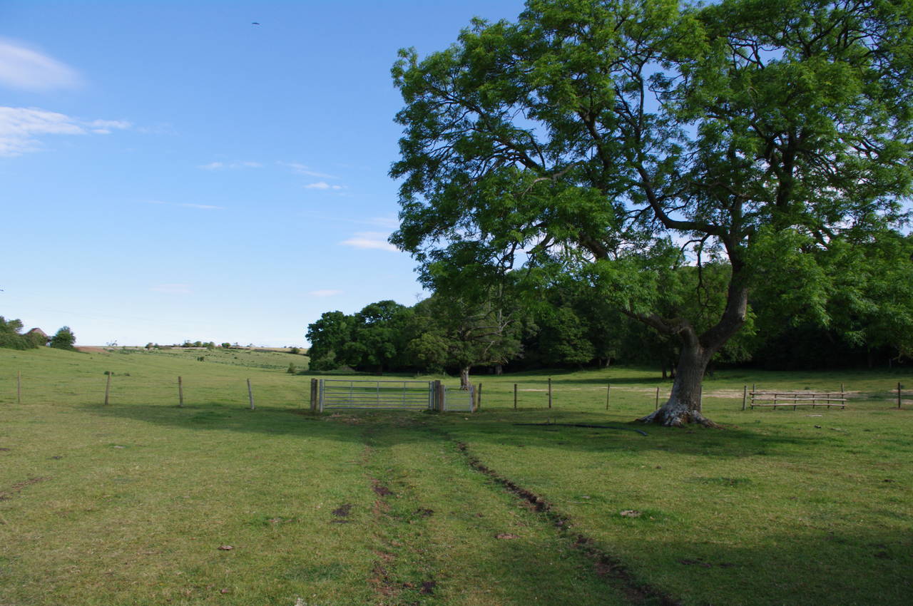
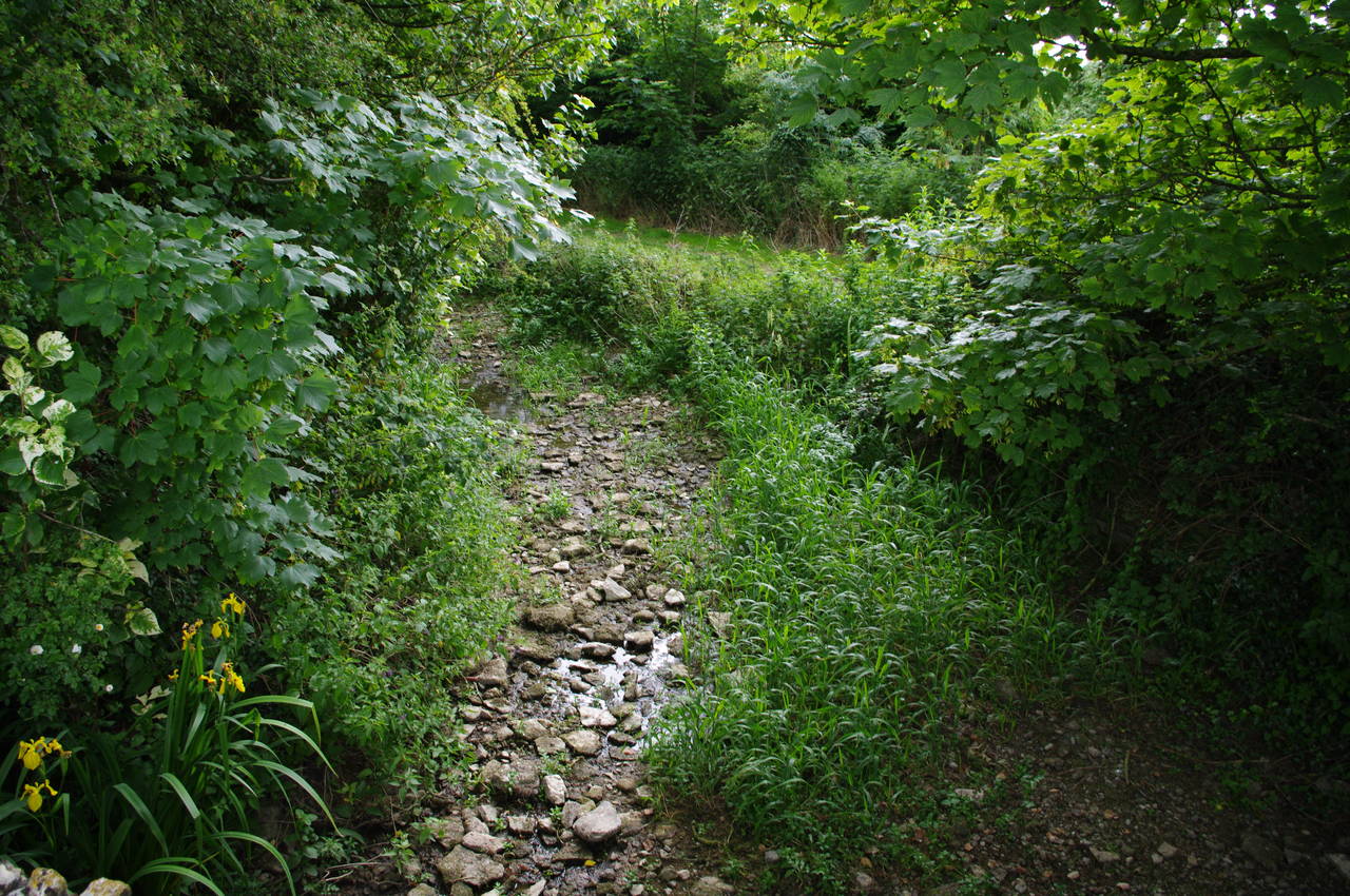
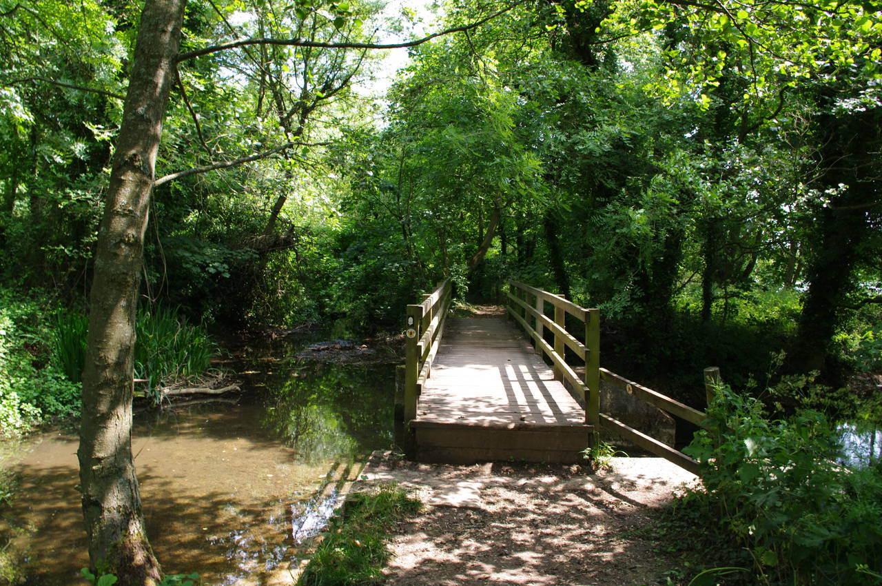
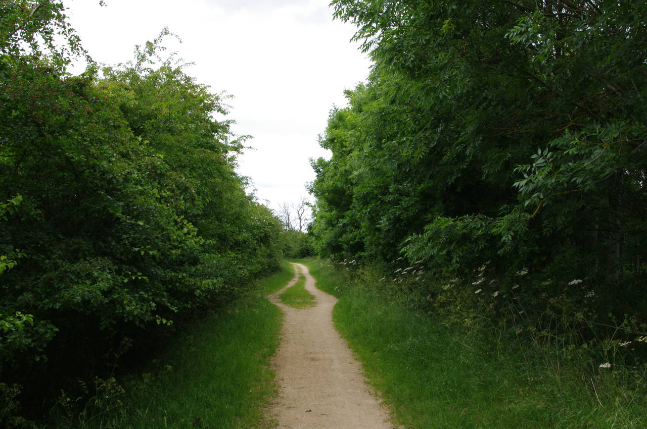
The track soon arrives at a gate through a low stone wall, beyond which another small herd of cows were grazing. From here the path continues to follow the farm track to the left of a sparse line of trees and up to another gate (picture 4), and then bears slightly to the right towards the woods in the middle of the picture.
(5) The Source
(6) Self-portrait at the Source
(7) 294km to London
(8) Looking ahead from the Source
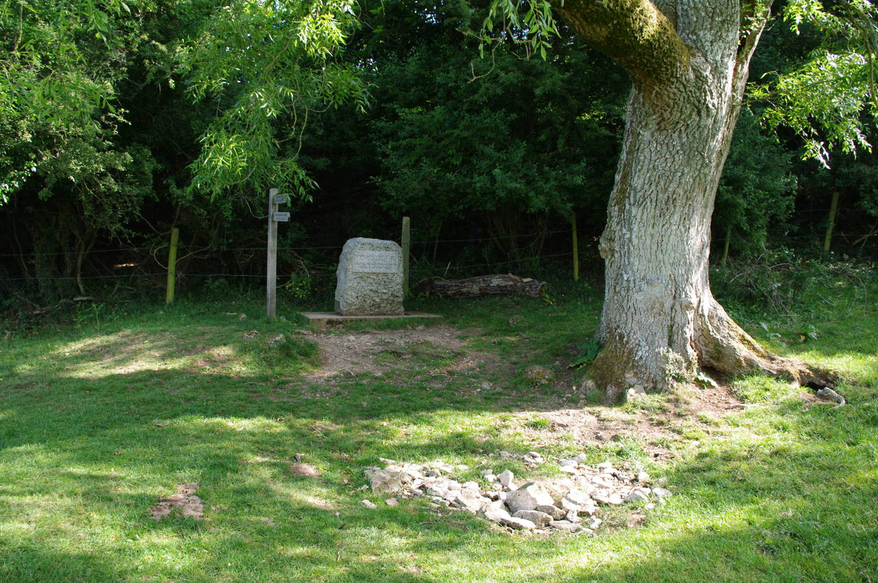
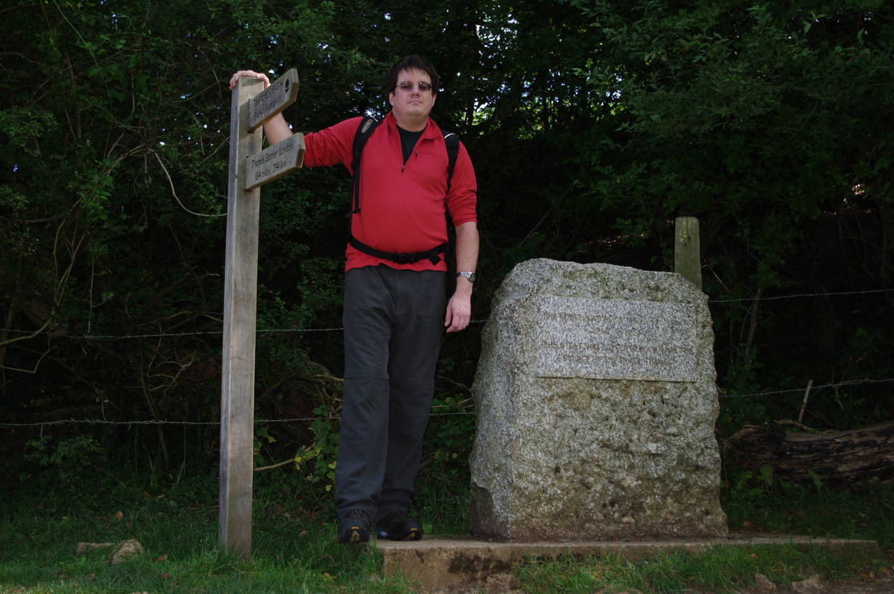
Under an old ash tree at the edge of the woods a large stone stands by a circle of smaller stones which mark the spring that is the official source of the River Thames (picture 5). Having brought a small camera tripod with me, I was able to take a self-portrait (picture 6) to mark the occasion.
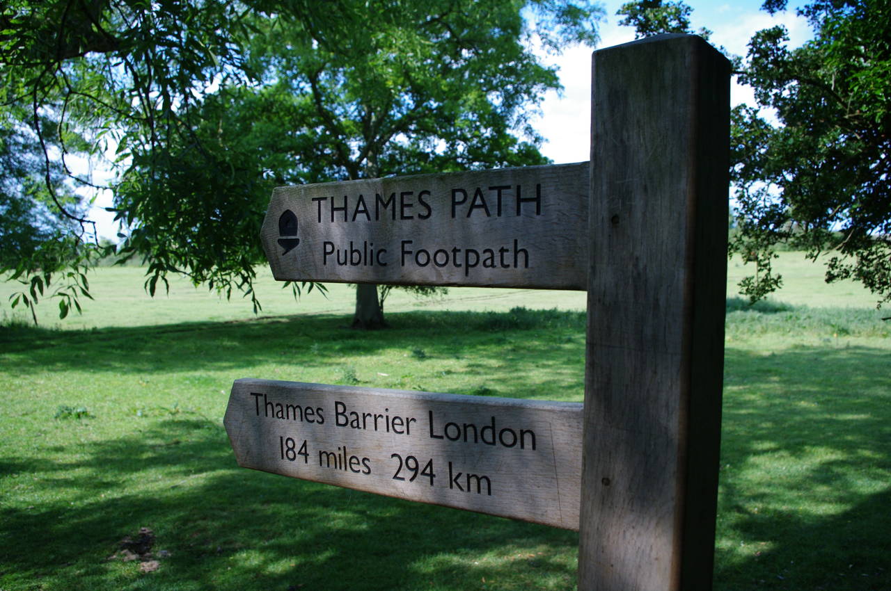
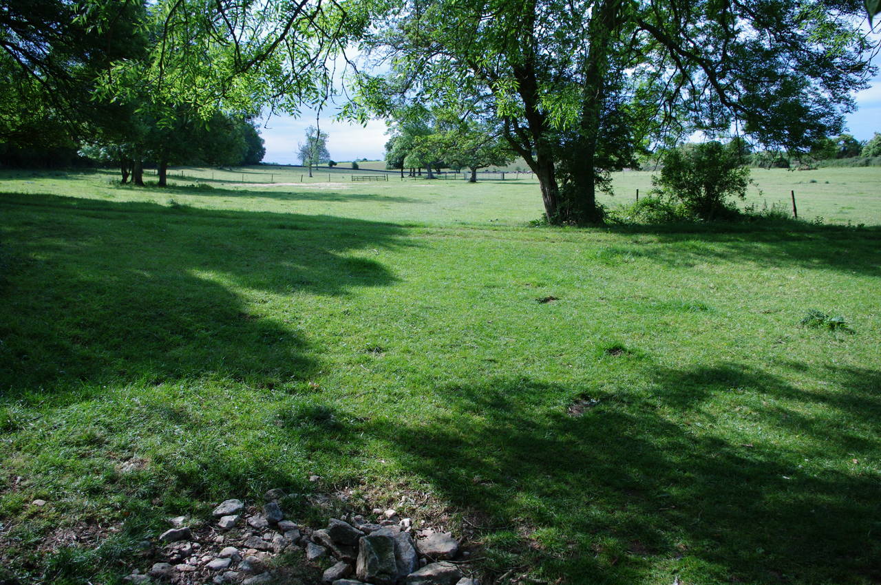
The signpost at the source (picture 7) indicates 294km to walk to the Thames Barrier in London's east, where I hoped to arrive around three weeks later. With the encouraging thought that it must be nearly all downhill from here, I set off in the direction of London (picture 8) and retraced my steps across the fields, back over the Foss Way, and along the next two fields to return to the footbridge where I had joined the Thames Path.
(9) A429 Crossing
(10) Path near Kemble
(11) Gravel river bed
(12) Approaching Ewen
Just up to the left beyond the footbridge, the path reaches a small road bridge where the A429 crosses the course of the Thames (picture 9). Here an information board describes the history of Kemble and the Thames.
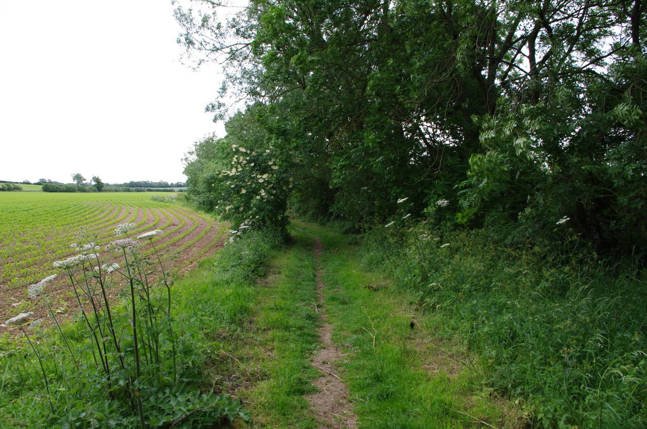
Across the road, the path continues through a gate and along a pleasant field edge path (picture 10) with the still-dry riverbed now to the right of the path and occasional views through the trees to some buildings on the fringes of Kemble. There were many flowers lining the path and the smell of cattle had thankfully been replaced by the aroma of flowers and honey.
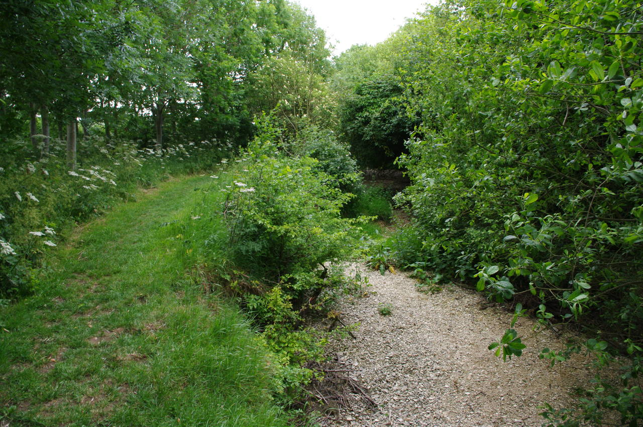
When the field edge curves away to the left, the path curves to the right, following the dry gravel bed of the Thames into some woodland (picture 11), where several unseen creatures scurried noisily through the undergrowth as I approached.
The path soon emerges onto another field edge, this time growing a crop of wheat. Following this path soon leads up to a road, where the course of the Thames passes under Parker's Bridge. The height of the bridge over the river bed suggests that the river is rarely more than a couple of feet deep here.
Across the road and a few metres to the left, a path leaves the road and winds its way through a band of woodland between the road and the river. After a few minutes walking the path emerges back onto the road on the edge of the village of Ewen, next to a bench placed by the Kemble and Ewen Women's Institute for Thames Path walkers (picture 12). The road through Ewen is shared with one of the National Cycle Network routes, and here I was passed by the first of many cyclists whom I would see today.
(13) First water in the Thames, Ewen
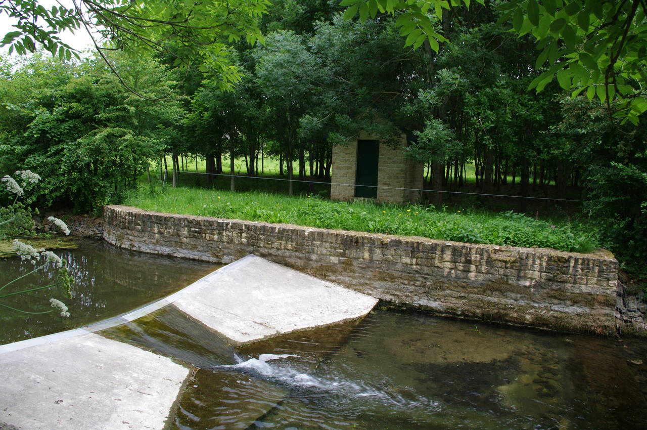
(14) Gauging station, near Ewen
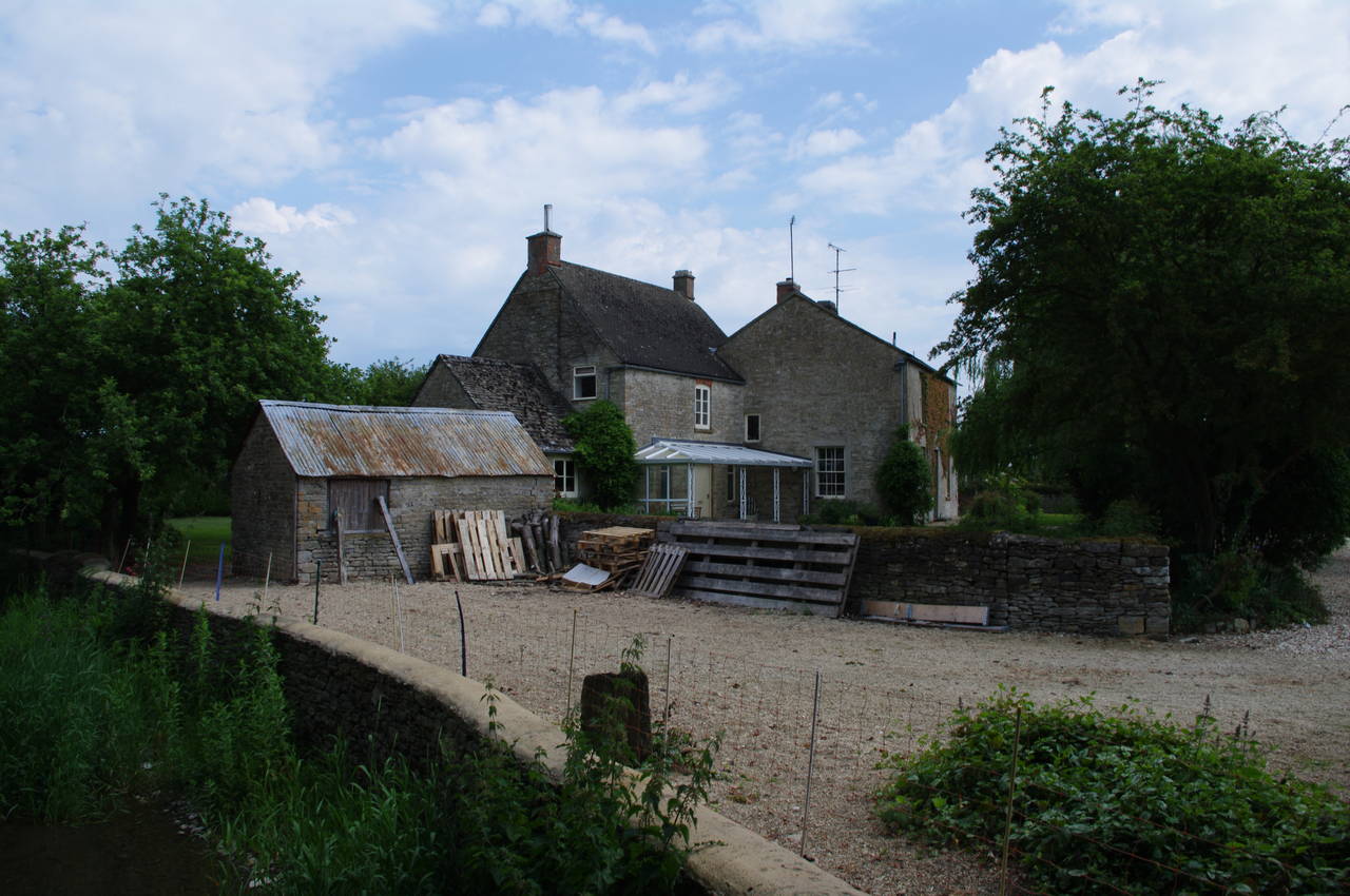
(15) Upper Mill Farm
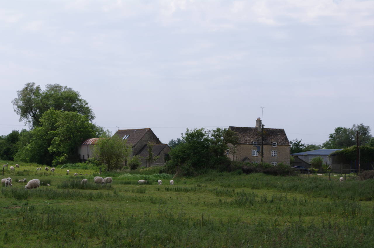
(16) Old Mill Farm
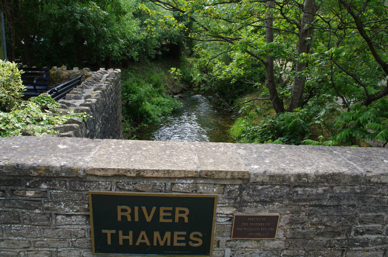
The path follows the road into Ewen, passing more stone houses before turning right at the first intersection and following the road slightly downhill. Immediately after crossing a bridge over the Thames, the path turns left through a gate to once again follow the riverside. From the bridge I saw the first small pools of water in the river (picture 13), but before long the river had grown considerably and the path soon passed by a gauging station (picture 14), where it became obvious that the apparently still waters were actually flowing downstream.
The path sticks close to the course of the river as it twists and turns beside meadows and pastures to eventually reach Upper Mill Farm (picture 15), where the path crosses a footbridge over an old and somewhat overgrown millstream and then continues with the river now to the right. The path follows the edges of several fields close to the riverbank, soon passing by Old Mill Farm (picture 16), where a large flock of sheep were grazing and bleating loudly.
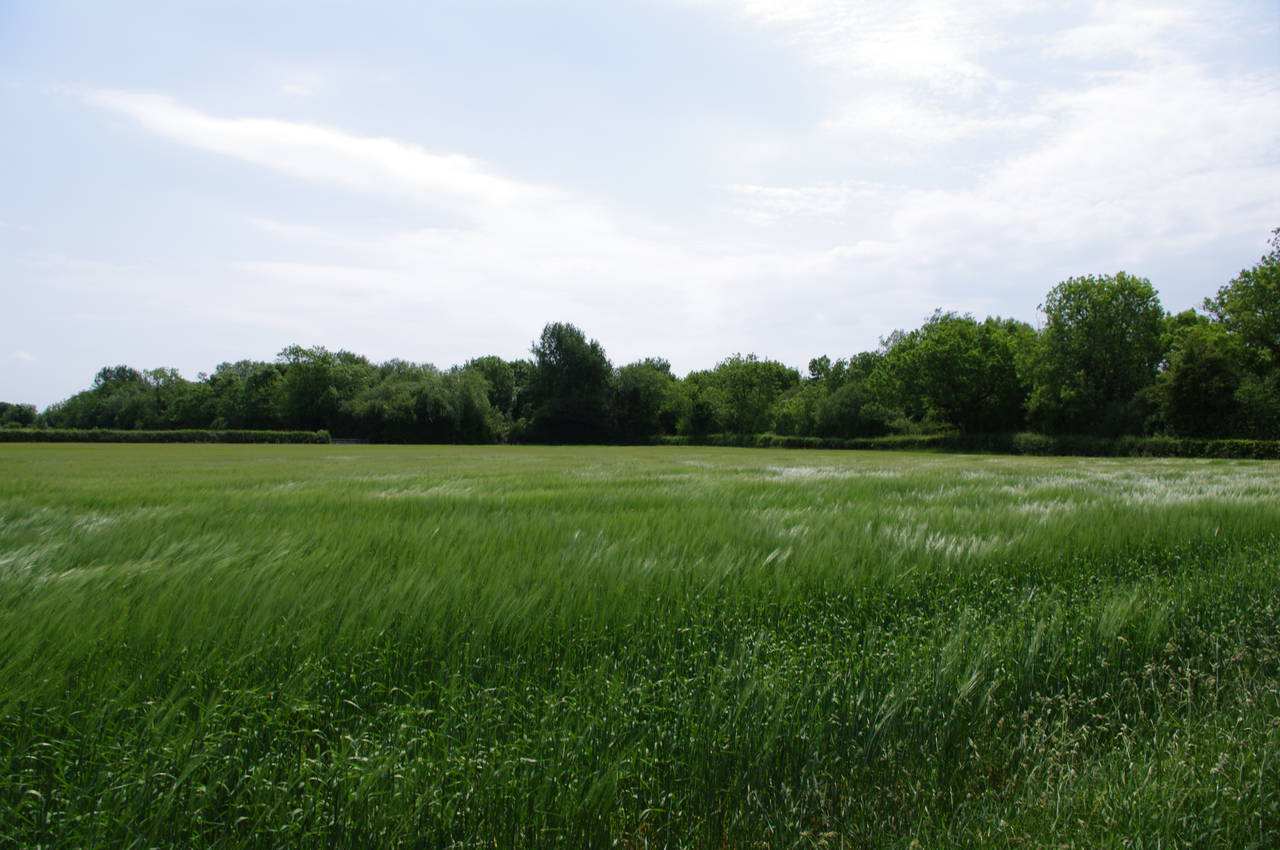
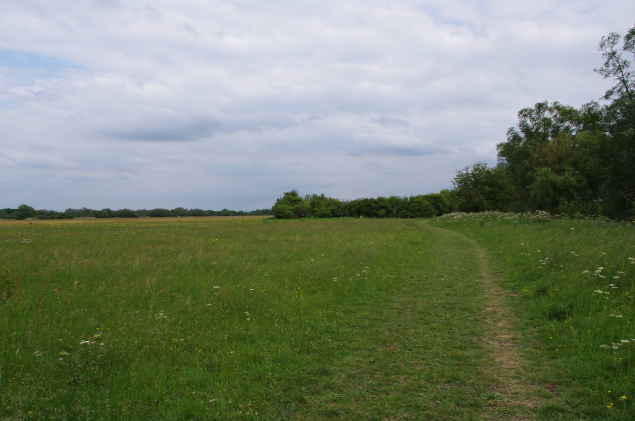
(17) Large field near Somorford Keynes
(18) Neigh Bridge Country Park
(19) View to Lower Mill Estate
(20) Path beside the Thames
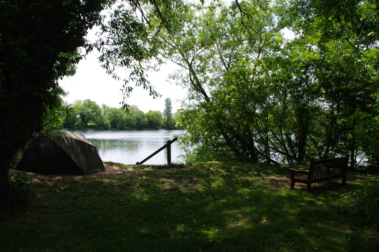
The path then continues along the field edges with the village of Somoerford Keynes visible across the fields to the left. In one of the fields, the breeze moving the long grass made some interesting and ever-changing patterns (picture 17). Before long, the path crosses a wooden footbridge to enter the Neigh Bridge Country Park, turning immediately left to follow a path between the river and a large lake formed from an old gravel pit. Along the banks of the lake were many shady spots with good views across the lake and several tents had been pitched near the path (picture 18).
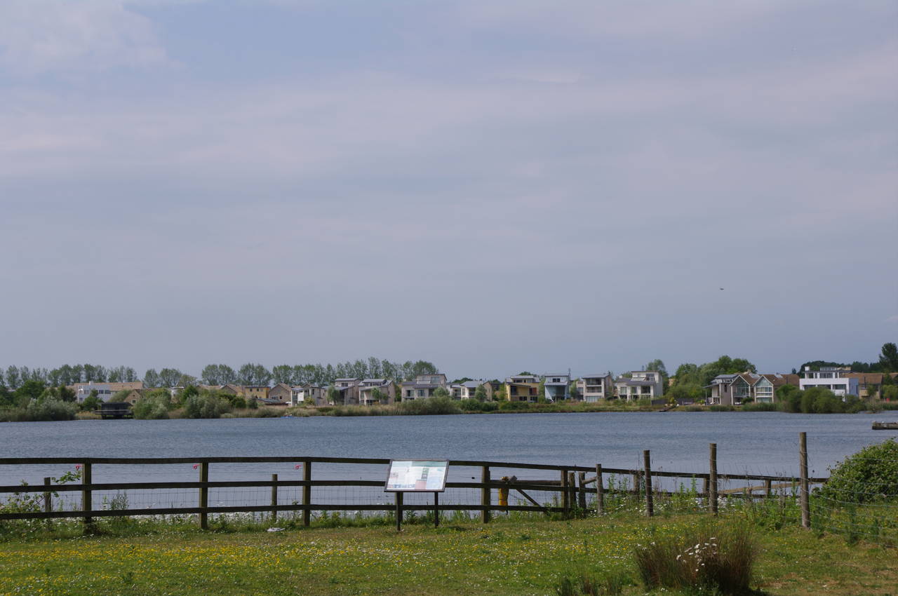
The shady path continues close to the river until it reaches Neigh Bridge, where the path crosses the road and follows the grassy verge to the right. The road soon reaches an intersection where the path continues along the verge of the road to the left, crossing a bridge over the Thames and continuing a little further to take the first road on the right. This road leads into the Cotswold Water Park, a large group of lakes formed from more flooded gravel workings, and one such lake is visible off to the left of the road. The road eventually passes by the entrance of the Lower Mill Estate and becomes an unsurfaced track with many pot-holes soon afterwards.
On reaching a gate marked "Private Land", the path crosses a footbridge over the Thames then immediately turns left to follow the course of the river. Very soon a view briefly opens up to the right across another lake to the Lower Mill Estate (picture 19), but for the most part the lakes are hidden from view as the path passes through thick green vegetation next to the crystal clear waters of the Thames (picture 20).
(21) Footbridge in Freeth's Wood
(22) Mill race, Ashton Keynes
(23) River Thames, Ashton Keynes
(24) Preaching cross, Ashton Keynes
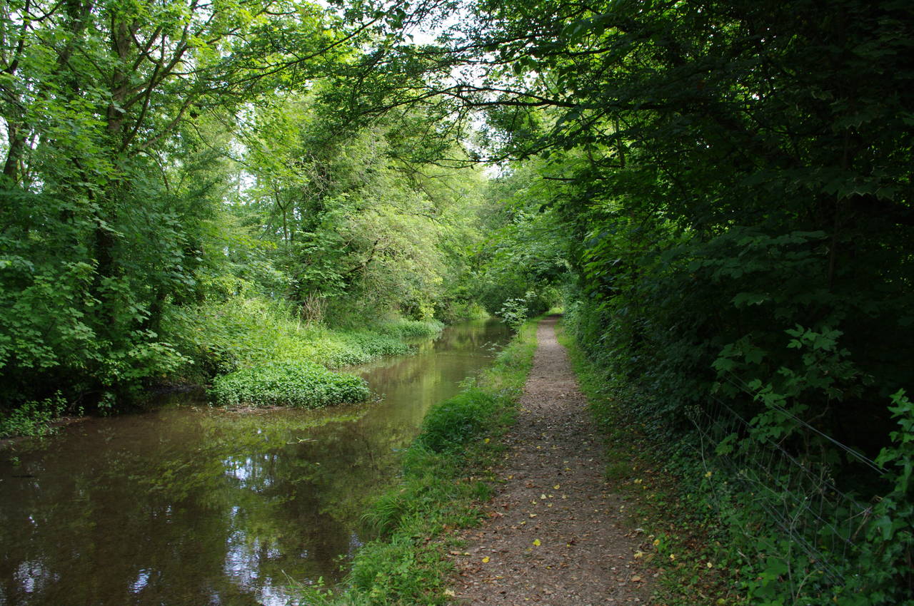
Soon the path crosses the county boundary from Gloucestershire into Wiltshire and continues besides the river through Freeth's Wood, soon crossing a footbridge over a channel of the Thames that heads off to the right (picture 21) and following the main channel straight ahead across the B4696 road and on towards the village of Ashton Keynes.
At the edge of Ashton Keynes, the path squeezes between a cottage and an enclosed mill race through which the river drops more than a metre (picture 22). Emerging from the bottom of the mill race, the Thames flows along a neat channel between houses (picture 23), which the gravel path follows to a T-junction where another branch of the river joins it next to an old preaching cross (picture 24). Along this stretch of the river, several families of ducks were swimming in the water or foraging on the bank.
At the junction the Thames Path turns left along High Road, but here I turned right, heading a few hundred metres down High Road to the White Hart Inn, located near another preaching cross. At the pub I stopped for lunch and to renew my acquaintance with a pint of Wadworth 6X before returning to the Thames Path.
(25) Cricket match, Ashton Keynes
(26) Lake near Ashton Keynes
(27) Shingle path near Waterhay
(28) Manorbrook Lake
Rejoining the path by the first cross, I continued along High Road for a short distance until the path turns right into Back Street, which eventually curves to the right, crossing a bridge over the Thames. Over the bridge the path turns left into Kent End for a few metres before bearing right through a wooden gate onto a field edge path which leads up to a road. Across the road and a little to the left, a path leads through a gate and across a gravel drive to a second gate at the edge of a sports ground.
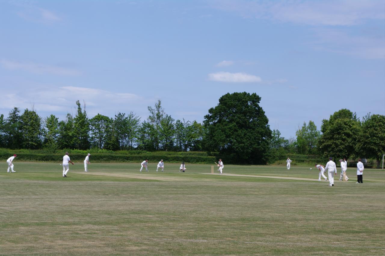
The official route of the Thames Path goes straight ahead across the field, but on this sunny Saturday afternoon a group of cricketers were warming up on the ground, so I skirted around the right edge of the field, passing the pavilion and soon finding the gate in the fence on the far side of the field. As I was walking around the boundary line, the players finished their warm-up and began to play their match (picture 25).
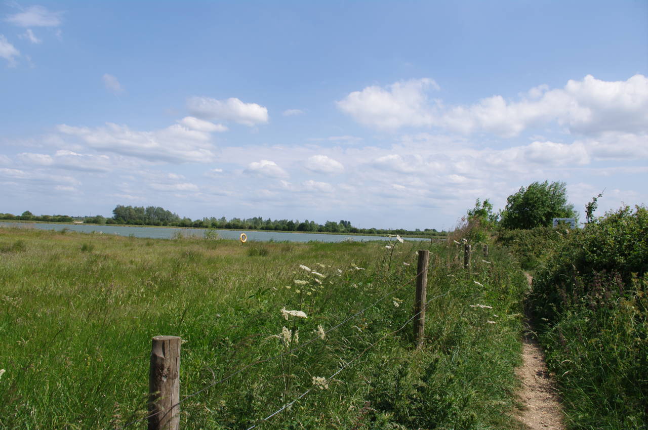
I watched the players complete a few overs before heading off through the gate and across the Ashton Keynes Millenium Green into a brief section of woods, beyond which the path follows a narrow strip of land between two large lakes which are also part of the Cotswold Water Park (picture 26). At its narrowest point, the strip of land is only about three metres wide.
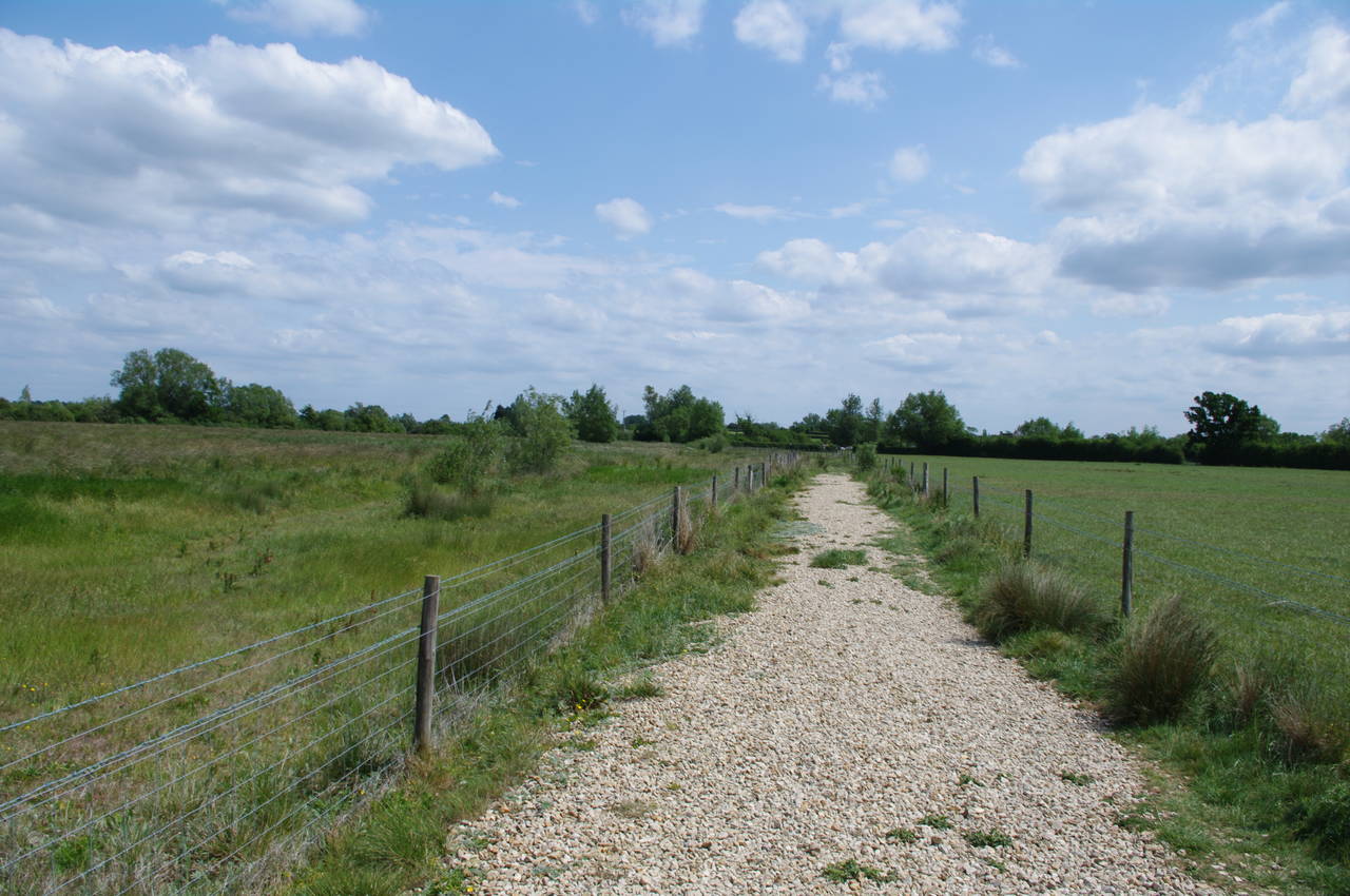
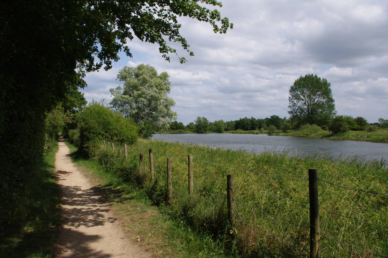
As the banks of the two lakes curve away to the left and right, the surface changes to something resembling the shingle beaches I had encounterd a few months previously on the Saxon Shore Way, and the going here was a good deal slower (picture 27). Mercifully the shingle section of the path soon meets up with a chalky bridleway near Waterhay, where it turns left along a much easier surface. Soon the path follows a branch of the bridleway to the right and before long the path is running beside Manorbrook Lake (picture 28), yet another former gravel pit.
(29) Path near Cleveland Lake
(30) North Meadow
(31) Town Bridge, Cricklade High Street
(32) St Mary's Catholic Church, Cricklade
The path follows the bank of Manorbrook Lake for more than a kilometre before leaving it and passing by Cleveland Lake then through a pleasant section of greenery (picture 29). Further on, the path reaches a gate next to a white sign shaped rather like a surfboard. Here the path turns right to cross a wide wooden footbridge over the Thames, then continues ahead along a bridleway track away from the river to a junction where the path turns left again. Two more right hand turns lead the path up onto a disused railway embankment that once carried trains toward the town of Cricklade.
A few hundred metres along the embankment a signpost points to the left along a vehicle track that leads back to the river bank. The path follows field edges with the river to the right of the path until it reaches another wooden footbridge, where rather than crossing the bridge, the path heads down some steps to the left and into the North Meadow National Nature Reserve, an ancient meadow that has never been ploughed. The path follows the edge of the meadow with the river still on the right and the sounds of traffic on the nearby A419 becoming louder. In amongst the grass of the meadow were many small flowers (picture 30), but it was a few weeks too late to see the display of the rare Snake's Head Fritillary for which the meadow is well-known.
In the next field beyond North Meadow, the path passes a variety of horse jumps before heading up to a gate and a concrete bridge over the Thames. The path briefly follows a footpath away from the river before almost turning back on itself through a gate to the left and across a small plank bridge. The path is enclosed for a short distance before heading across more open ground to a kissing gate near some houses on the edge of Cricklade.
Through the kissing gate, the path heads left beside the houses, passing some car parking spots before heading left through a narrow gap in the trees and into another meadow. About half way across the meadow, I had stopped to consult my map and was approached by a lady out walking her dog. She correctly guessed that I was following the Thames Path and told me that she had walked the Thames Path as far as Shepperton, with about 70 kilometres left to get to the Thames Barrier. She had also recently completed the Cotswold Way National Trail (a distance of 164km) in six consecutive days. I am planning to walk the Cotswold Way some day, but I probably won't manage it in consecutive days.
The path heads to the far-right corner of the meadow and a gate that leads out onto a street called North Wall. Following North Wall, the Thames Path soon reaches Cricklade's High Street at the point where it crosses the Thames on Town Bridge (picture 31).
This crossing of the Thames has been used since Roman times, when the Roman road of Ermin Street crossed the river in roughly the same place that the High Street crosses it now. The town of Cricklade was founded around this crossing in the 9th century, forming part of the fortified defences of the Kingdom of Wessex while the Vikings briefly held nearby Cirencester in 878-9. Today, Cricklade is a fairly quiet town, with a population of just over four thousand people and six pubs.
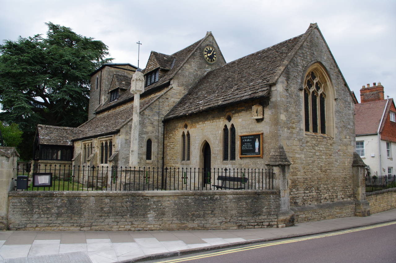
Rather than crossing the river, the Thames Path turns right, heading down the High Street, where the Catholic Church of St Mary (picture 32) soon appears on the right. Just past the church, the Thames Path turns left along Abingdon Court Lane. At this point I ended my walk along the Thames Path for the day, having covered 19.7km of the path, and continued along the High Street to a small roundabout in front of the Vale Hotel where there is a bus stop just around the corner to the left. After a short wait I was able to catch a bus to Swindon, where I was staying for the first few stages of the walk.