SOUTH WEST COAST PATH NATIONAL TRAIL
Stage 30: Coverack to The Lizard
Wednesday, June 4, 2014
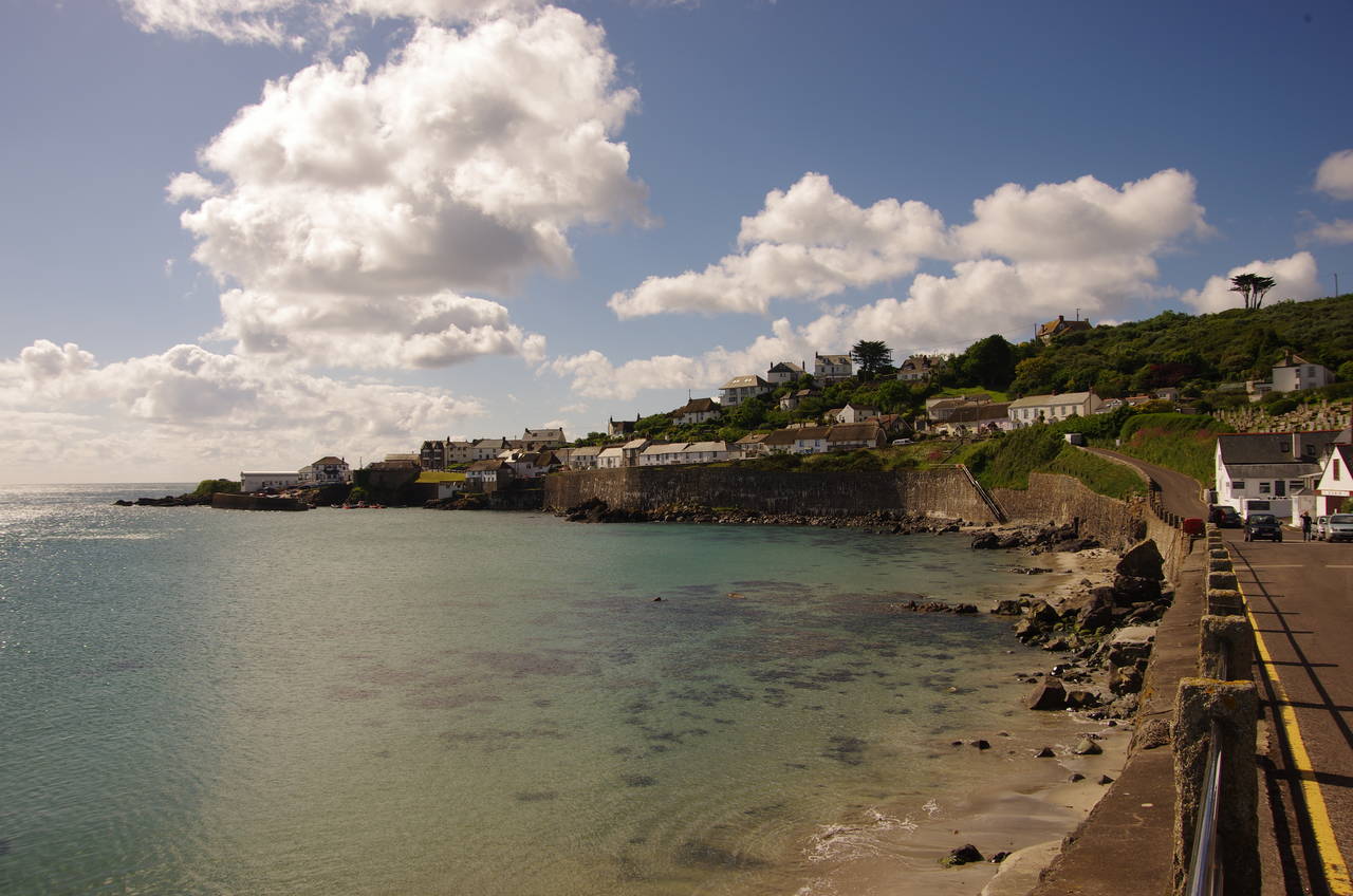
(1) Coverack
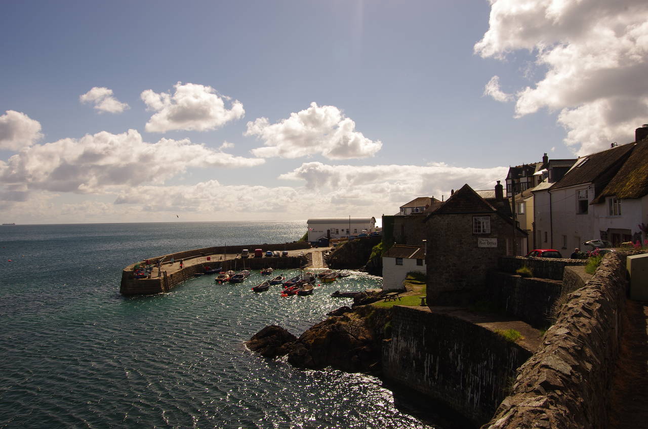
(2) Coverack Harbour
(3) Dolor Point
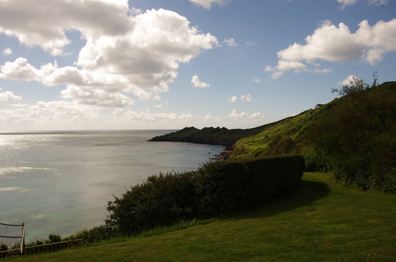
(4) Perprean Cove
Mercifully, the bus service was back to normal when I returned to Coverack after taking a day off to visit the Eden Project. Alighting at a bus stop where the B3294 meets the coast at Coverack Cove (picture 1), I followed the road around the cove to pass by the little harbour (picture 2) and up to the carpark of the Paris Hotel on the tip of Dolor Point. Here I became exposed to a very strong and rather chilly breeze that was going to accompany me for the rest of the day and I would end up wearing my rain jacket to keep me warm for most of the walk despite the sunny weather.
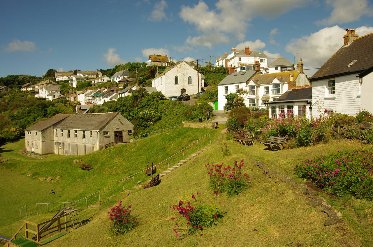
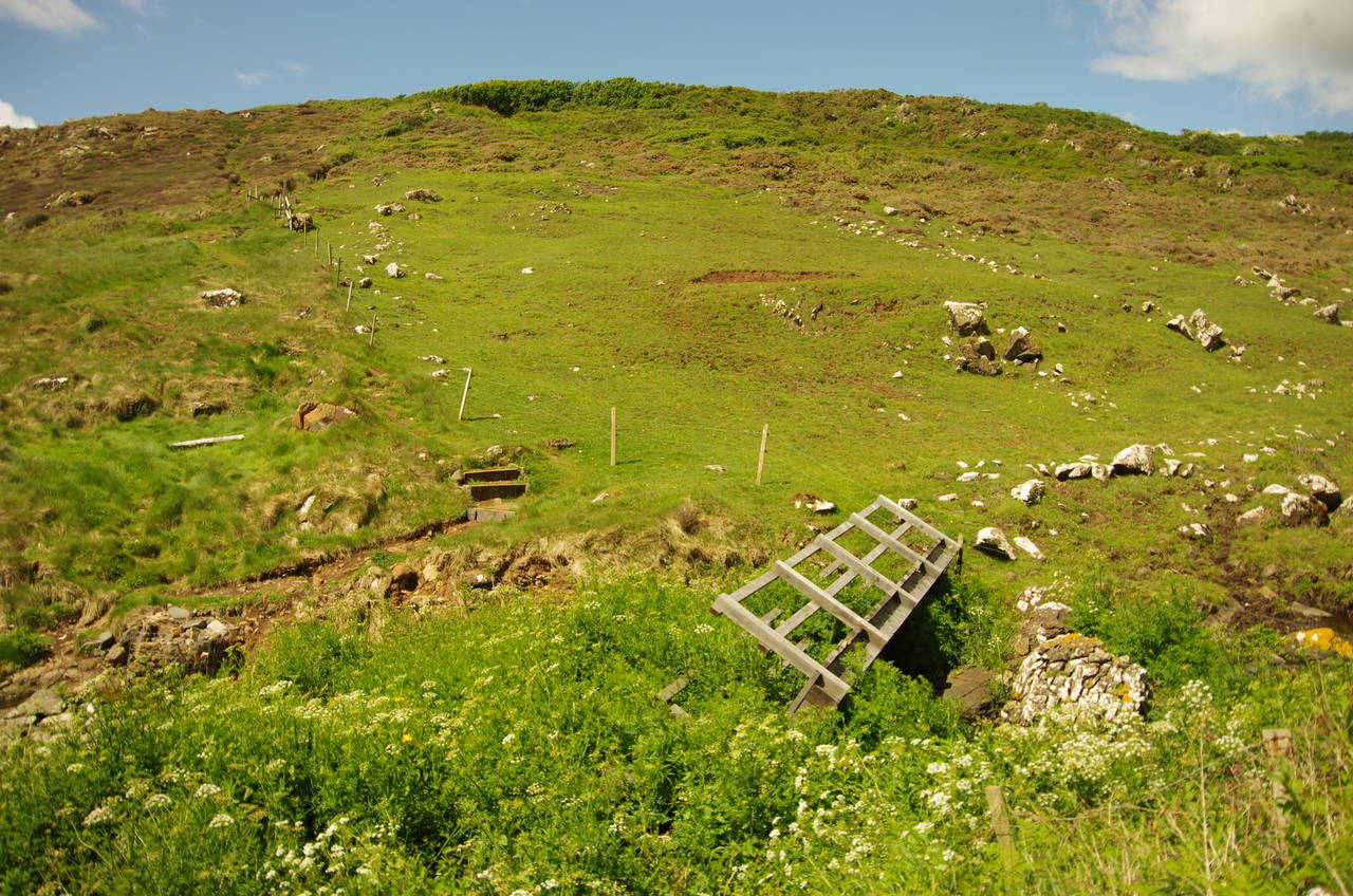
The Coast Path goes around three sides of the pub then crosses the top of a steeply sloping park (picture 3) to very briefly join a street before continuing ahead on a tarmac path beside a dozen or so houses to reach the edge of the village, overlooking Perprean Cove (picture 4).
(5) Chynhalls Point
(6) Porthbear Cove
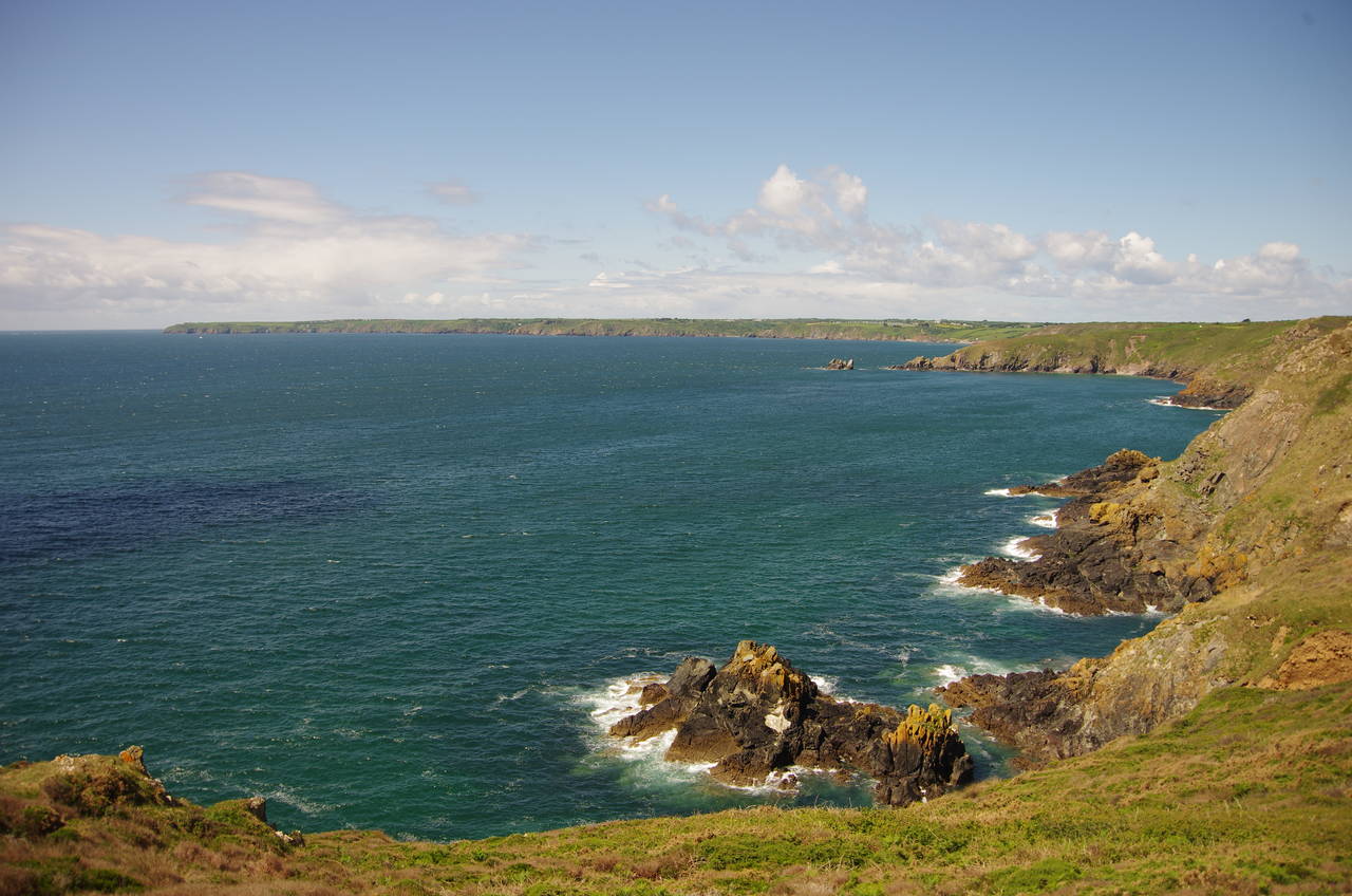
(7) Black Head
(8) View from Treleaver Cliff
By the last house, the path divides into a strenuous rocky scramble along the flank of the gorse-covered hillside and an easier path across a field, along a surfaced drive and then downhill through the tall gorse to rejoin the other path after about 500 metres at a junction of paths above the rocky spine of Chynhalls Point (picture 5), the site of an Iron-Age fort. On this occasion I chose the easier path, as I figured that there would be plenty of rocky scrambles later in the day, and it turned out that I didn't have very long to wait for the first of those.
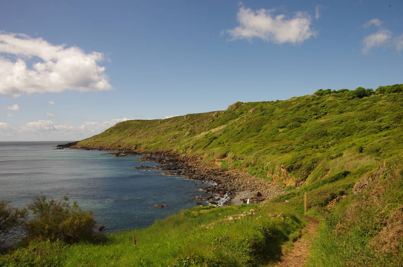
The Coast Path doesn't go down onto Chynhalls Point, instead cutting across the neck of the point and meandering along the sloping hillside of the National Trust's Chynhalls Cliff above Porthbear Cove (picture 6) to reach an old coastguard lookout atop Black Head (picture 7). This one and a half kilometre stretch of path was very rocky and generally quite uneven and overgrown, taking me about 45 minutes to complete and making me quite glad that I had chosen sturdy boots with good ankle support.
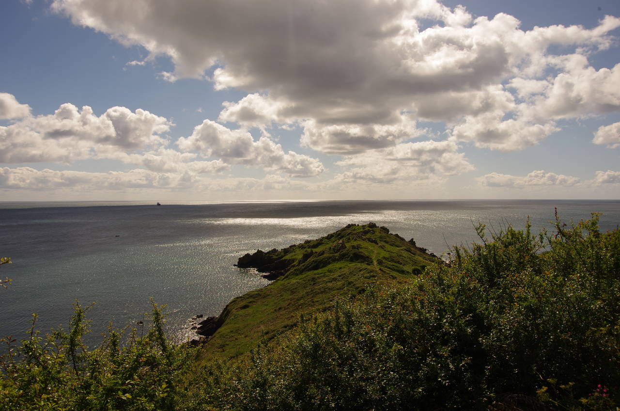
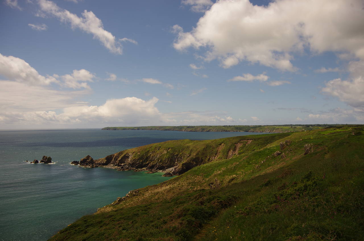
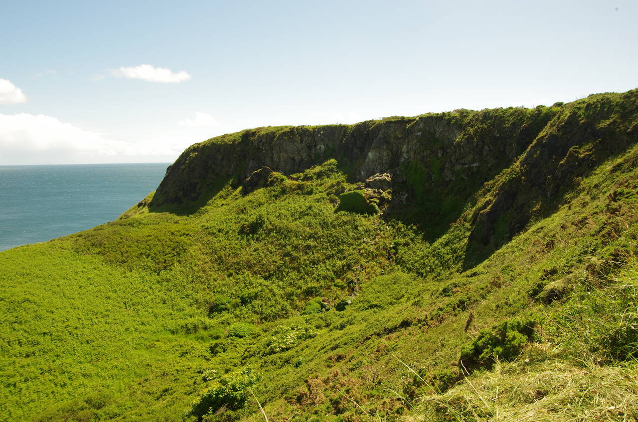
The going gets a little easier now as the route turns westwards along the clifftops, passing Dinas Cove and Treleaver Cliff, from which most of the rest of the day's walk stretches out around the large bay ahead (picture 8), with Bass Point in the far distance being about two kilometres from the end.
(9) Broken footbridge above Downas Cove
(10) Downas Cove
(11) Carrick Loz
(12) Kennack Sands
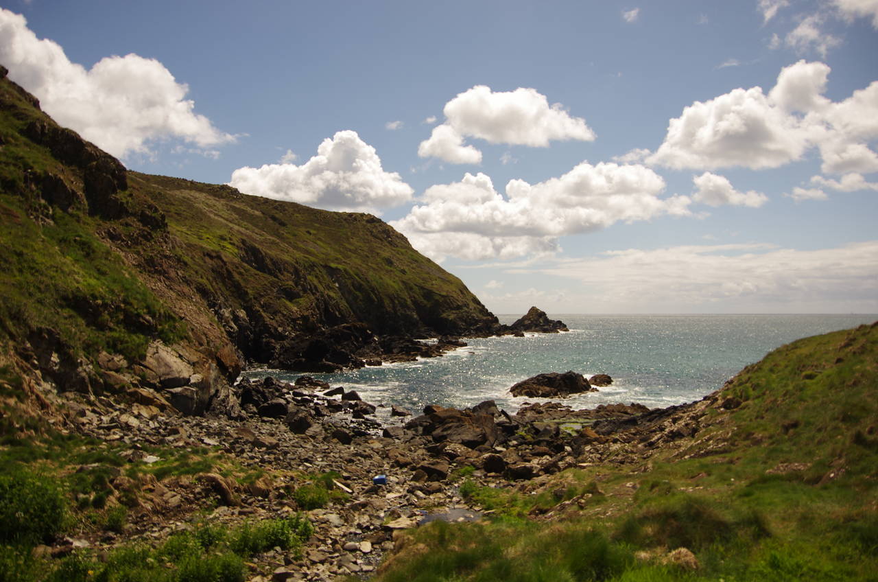
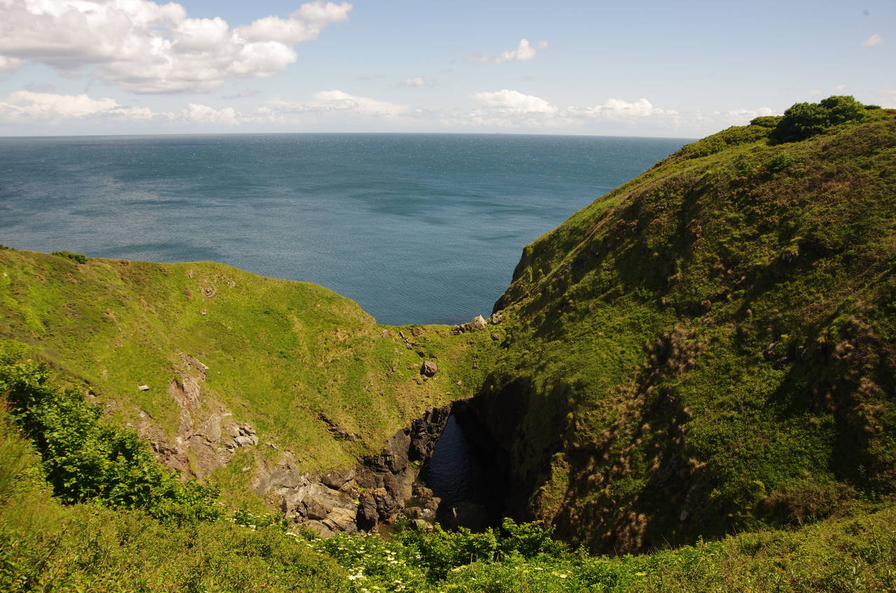
Soon after Treleaver Point, the path crosses the steep-sided valley of Beagles Hole, climbs over Beagles Point and then crosses the even steeper and deeper valley above Downas Cove, where the footbridge over the little stream had been moved about ten metres up the valley by wild weather during the previous winter (picture 9). Fortunately the path is still passable by crossing the rocky bed of the stream in the cove (picture 10), from which a steep climb takes the path back up to the clifftop, where the route soon shortcuts across the back of the little headland of Carrick Loz (picture 11).
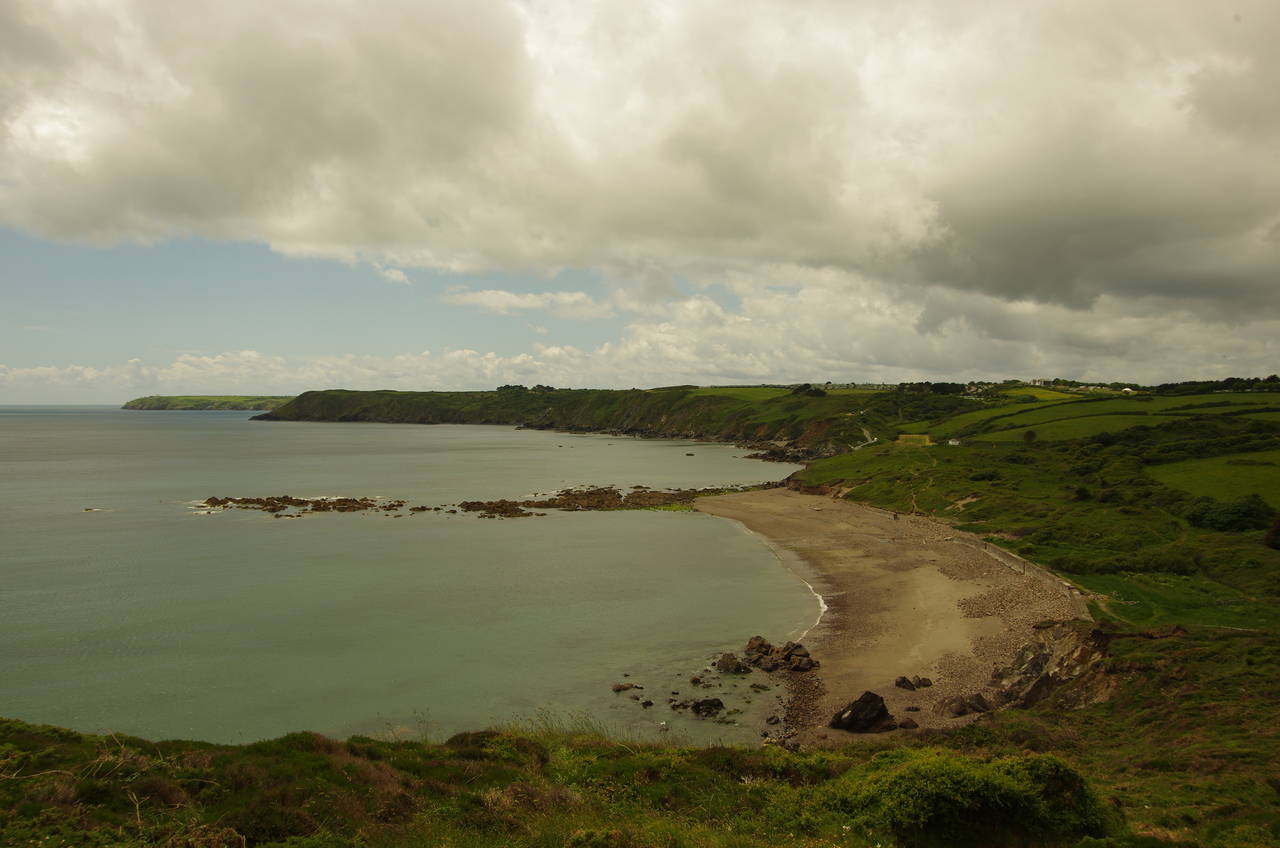
Beyond Carrick Loz, the path continues to meander along the clifftops to Kennack Sands, a long sandy beach, split in two by a rocky outcrop (picture 12). Along this stretch of the path, a brief shower passed over, but by the time I had descended the path to the first part of the beach the dark clouds had moved on and the sunny weather was back.
(13) Enys Head
(14) Cadgwith
(15) The Devil's Frying Pan
(16) RNLI lifeboat station, Kilcobben Cove
The path crosses the dunes to a carpark behind the second part of the beach, climbing the road from the carpark until a signpost on the left points along a path through the gorse and back to the clifftops below the chalets and caravans of the Kennack Sands Holiday Park.
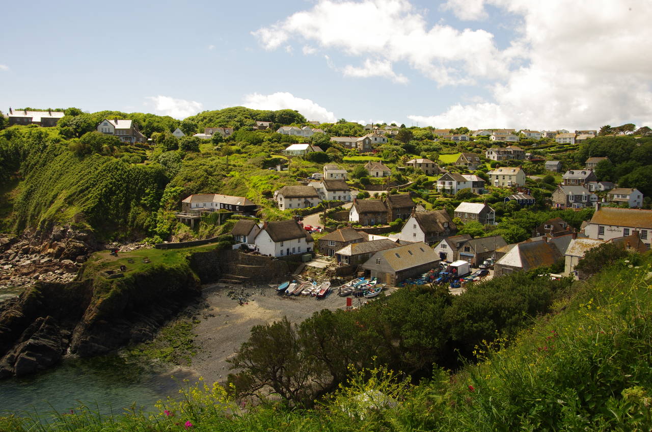
The holiday park is soon left behind, with the path winding its way through National Trust land signed as Poltesco and onto Enys Head, where there is an interesting bowl-shaped depression where the local Serpentine rock is exposed (picture 13). A little further around the cliffs, the path curves around into the sheltered little inlet at Cadgwith (picture 14), which is well-hidden in its valley until one is quite close to it.
The path descends into the village, meeting a road that crosses the valley behind the beachfront buildings to find an uphill path behind a café. This path climbs up through trees to the end of a lane, following it for a short distance before turning left on a driveway past a stone cottage. This leads to the edge of the Devil's Frying Pan, another bowl-shaped depression, this time with a partially collapsed sea cave in the bottom (picture 15).
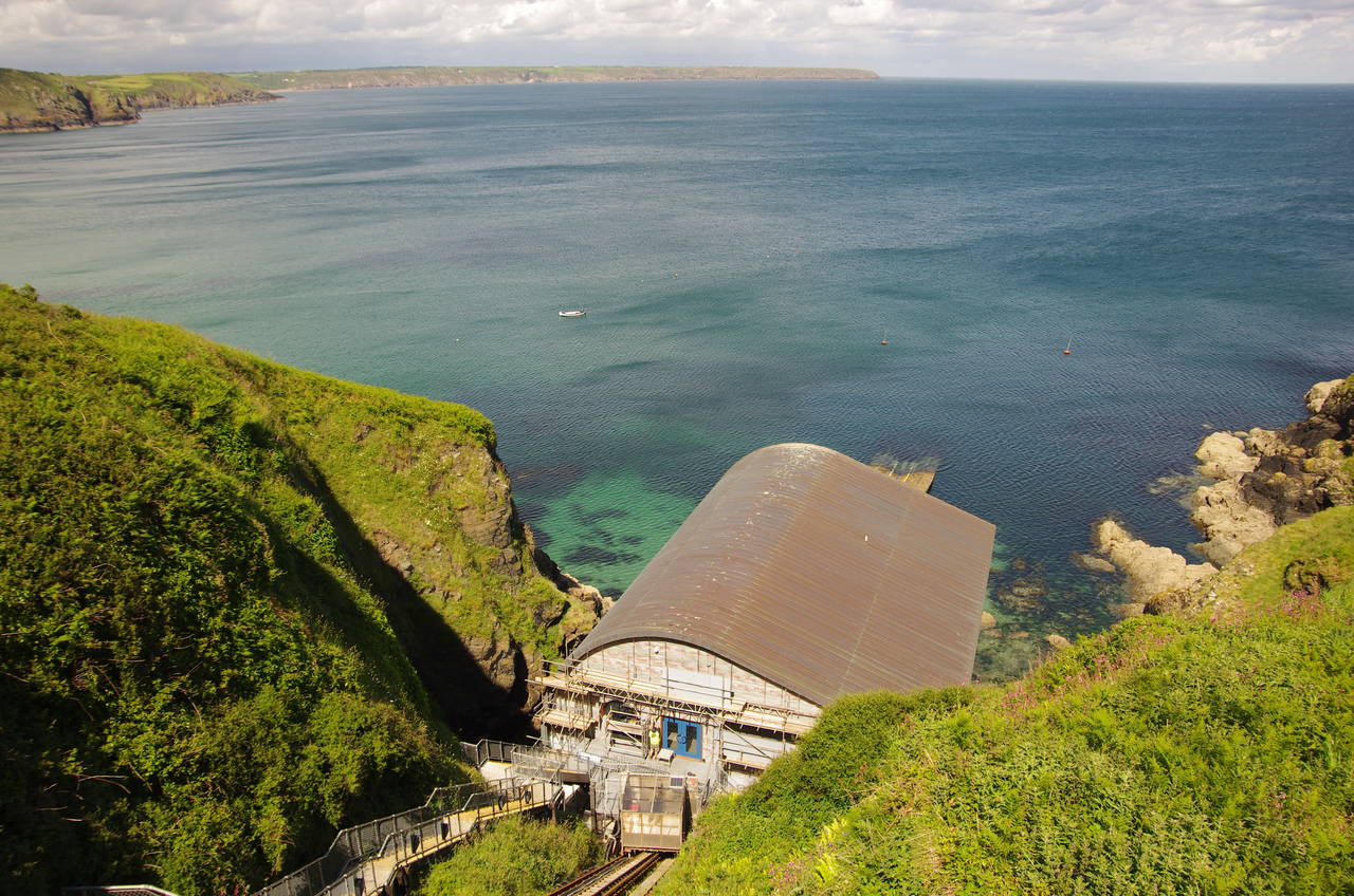
The Coast Path skirts around the edge of this natural cauldron to return to the ragged clifftops, to which the route sticks faithfully for the next two kilometres with several minor ups and downs before reaching the sheltered little hamlet of Church Cove. The path crosses the lane that runs down to the cove, climbing over the next hill to a little building above neighbouring Kilcobben Cove. This building is at the top of a small cliff railway that runs down to the RNLI's new Lizard Lifeboat Station (picture 16), which was still under construction.
(17) Bass Point
(18) View across Housel Bay
(19) Lizard Lighthouse
(20) Lizard Point
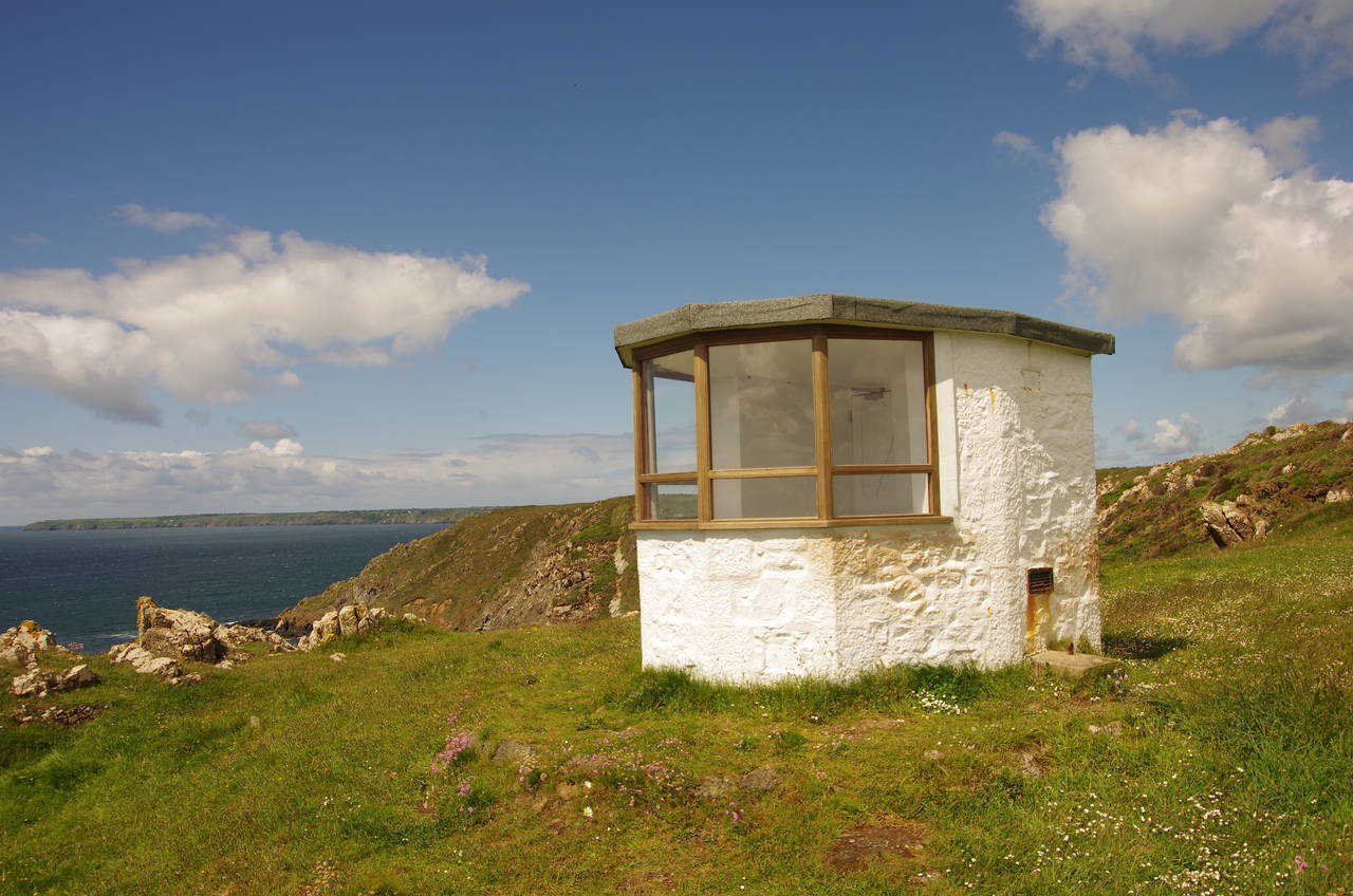
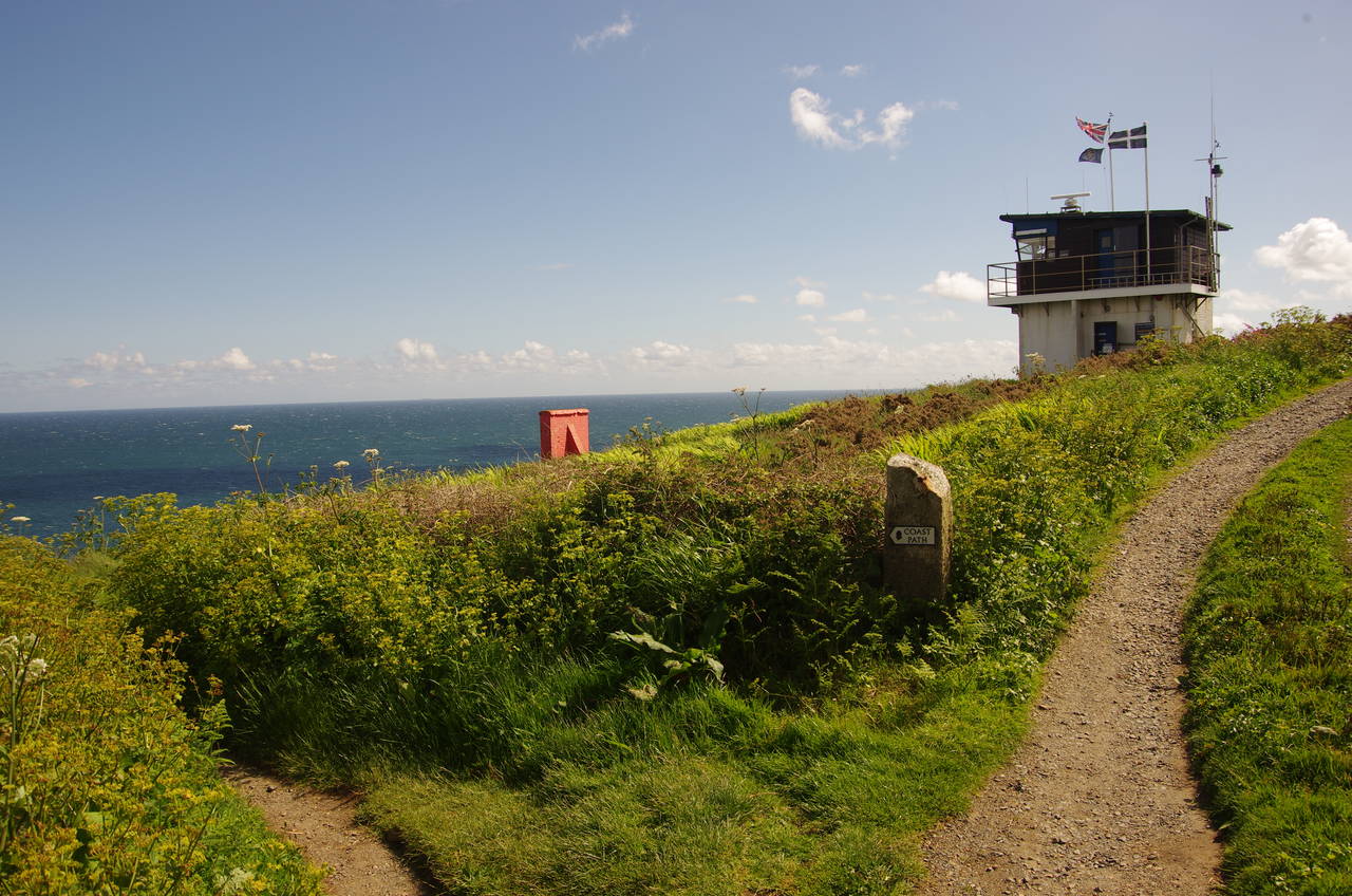
The Coast Path climbs up around the little building before heading out along the clifftop onto Hot Point and then around another small cove to Bass Point, where the path briefly joins a track past a few scattered houses to reach a National Coastwatch Institution lookout station at the tip of the point (picture 17).
Leaving the track a few metres before the lookout station on a well-worn path, the route circles around Housel Bay beside green fields (picture 18), passing the small village of the same name half way around, where a dozen or so houses cluster around the small Housel Bay Hotel.
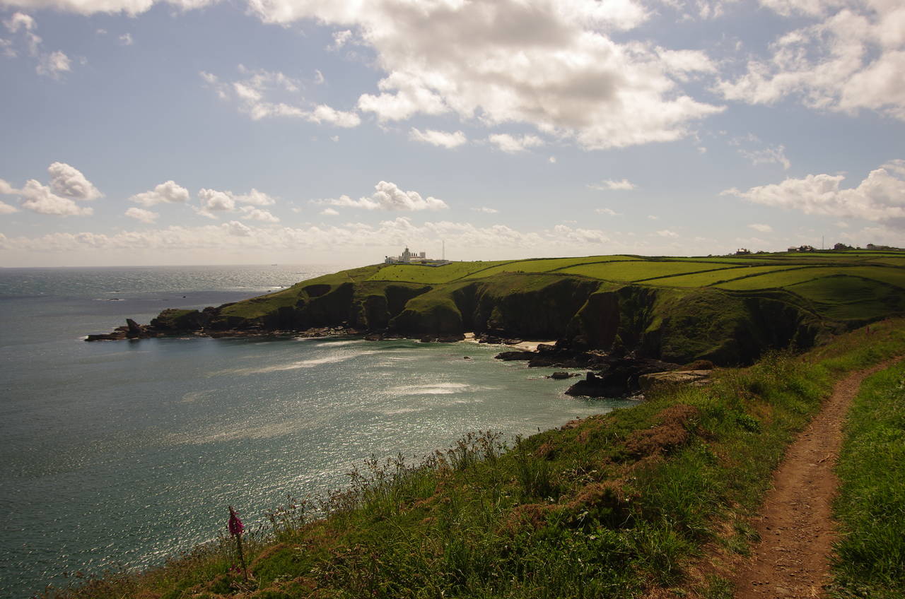
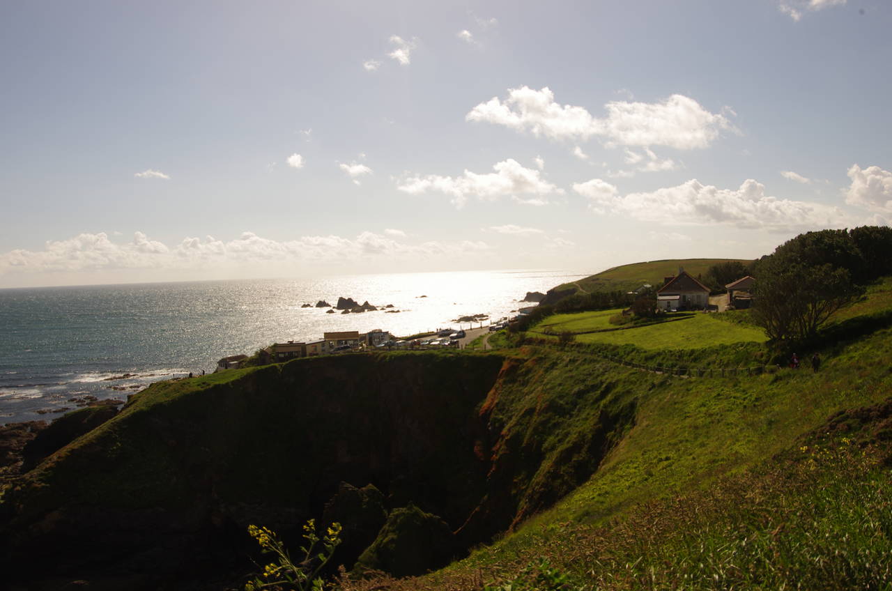
On the far side of the bay, the path runs just below the whitewashed stone fence of the Lizard Lighthouse (picture 19) and on ahead to a small carpark above Lizard Point (picture 20), the southernmost point of mainland Britain. Here I left the Coast Path for the day, with 17.8 kilometres walked from Coverack and wandered down past the row of cafés and souvenir shops to take my turn to be the southernmost person in Britain.
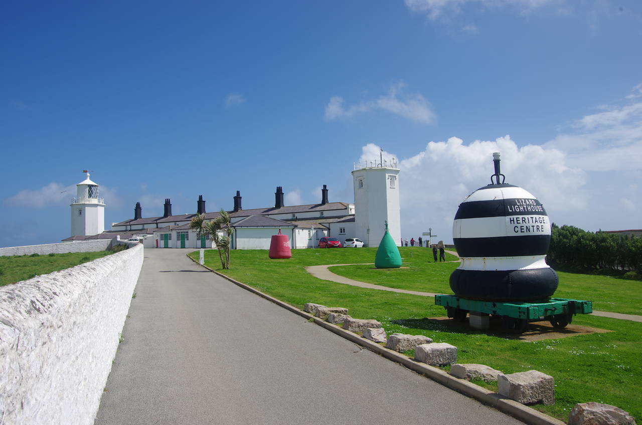
(21) Lizard Lighthouse
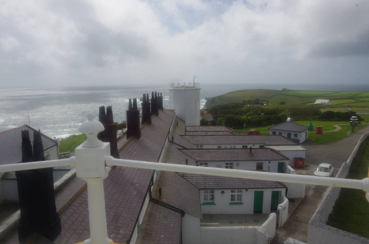
(22) View from Lizard Lighthouse
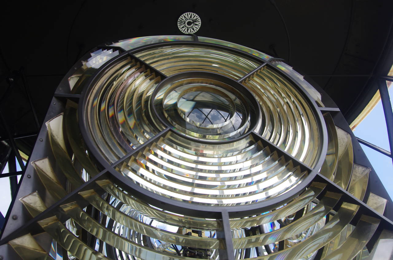
(23) Lizard Lighthouse

(24) Lizard Village
The walk over, I wandered back to the lighthouse, which is open to the public daily, except for Fridays.
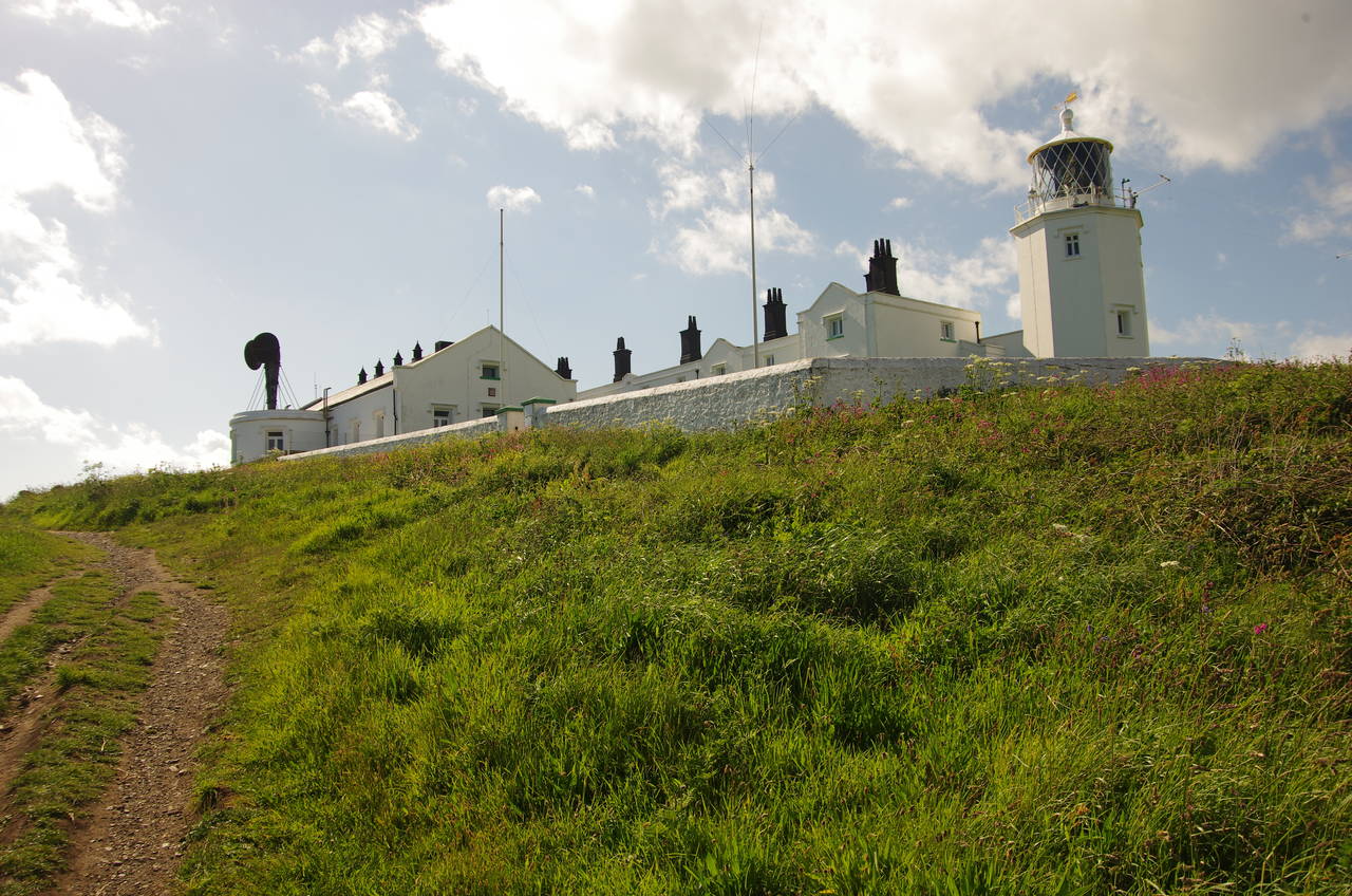
When the complex was originally built by Trinity House in 1752, there were twin lighthouse towers at either end of a row of keepers' cottages (picture 21). The first lights were coal-fired, replaced in 1812 by oil-fired lights and then in 1878 by fixed electric lights. In 1903, the eastern light was changed to a rotating electric lamp and the western light was discontinued and removed, though its tower remains. The lighthouse was automated in 1998 and opened to the public in 2009 after restoration.
The hour-long guided tour includes making the climb up to the lantern gallery to admire the view (picture 22), and to see the lantern (picture 23). The apparatus, which weighs more than three tonnes and floats on a bed of mercury, rotates even during the day, to prevent it starting a fire by focusing the sunlight. The Fresnel lens is so powerful that a single sixty watt lightbulb generates a beam that is visible for up to 42 kilometres on a clear night.
From the lighthouse, it's about fifteen minutes walk northwards on a path beside Lighthouse Road to reach Lizard Village, where buses to Helston leave roughly hourly from the large carpark in the village square (picture 24). Just to the southwest of the square, I found the excellent Smugglers fish and chip shop, where I acquired some dinner to eat on the large grassy triangle next to the square while I waited for the bus.