SOUTH WEST COAST PATH NATIONAL TRAIL
Stage 25: Charlestown to Mevagissey
Tuesday, May 27, 2014
(1) Charlestown
(2) Porthpaen
(3) Climbing to Phoebe's Point
(4) Ropehaven
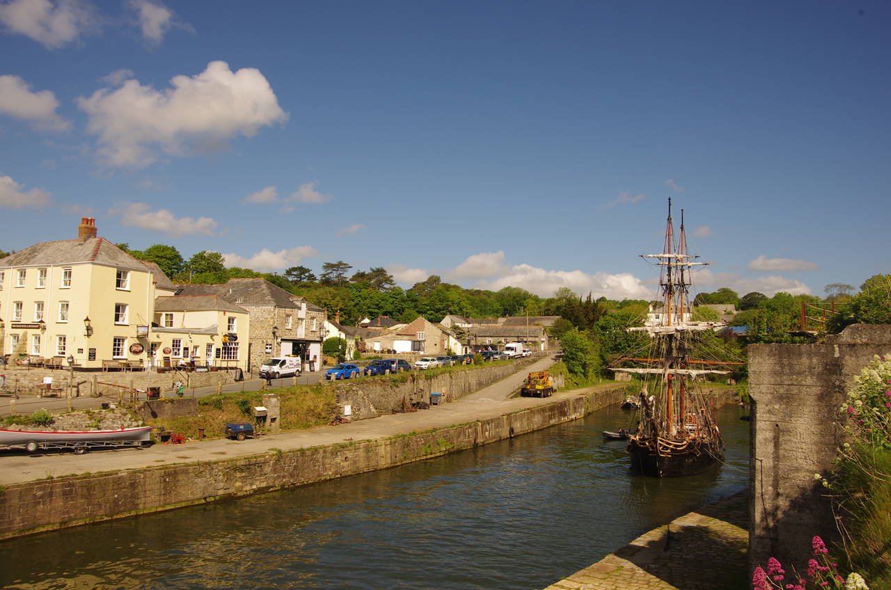
The weather was much improved when I returned to Charlestown a couple of mornings after completing the previous stage of the walk. I was also fortunate enough to find one of Charlestown's tall ships in the harbour (picture 1).
The harbour was built in the late 1700's, funded by Charles Rashleigh, a local copper mining magnate after whom the village is now named. As the local copper mines declined, the harbour was increasingly used for exporting china clay until that business also declined as ships outgrew the harbour during the 20th century. The harbour is now owned by the Square Sail company, whose tall sailing ships, along with the harbour itself, are sometimes used as sets for films and television programmes.
The Rashleigh name is one that crops up repeatedly when one explores the area around St Austell Bay, including in the names of several pubs on or near the Coast Path.
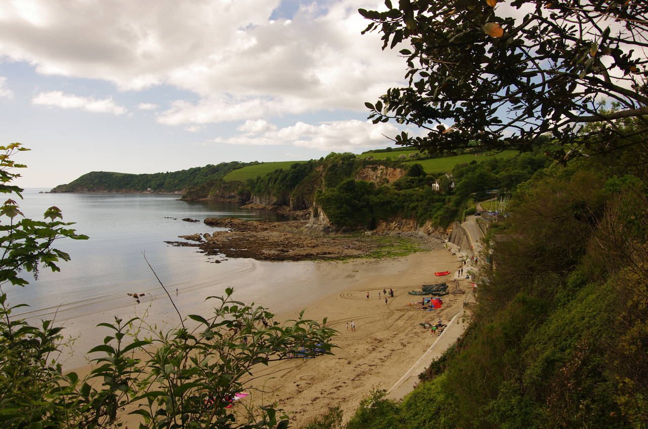
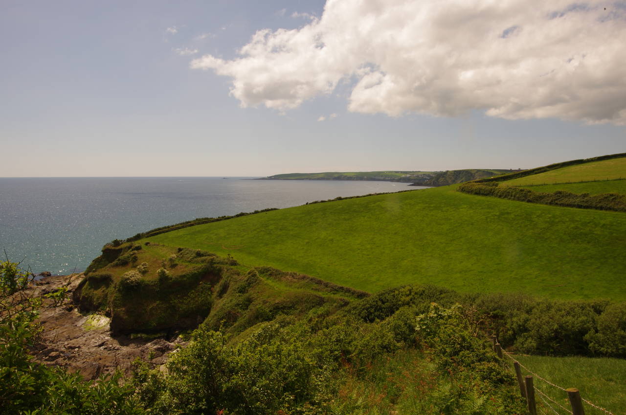
On the western side of the harbour, the Coast Path climbs away from Charlestown on a rough and partly muddy path leading past the Crinnis Cliff Battery, built in 1793 to house four cannon defending the entrance of the new harbour, but now overgrown with trees after being abandoned in 1896. From here the next section of the Coast Path is mostly enclosed by thick scrub and the high back fences of the village of Duporth until the path reaches Carricktowel Point overlooking the small beach at Porthpaen (picture 2).
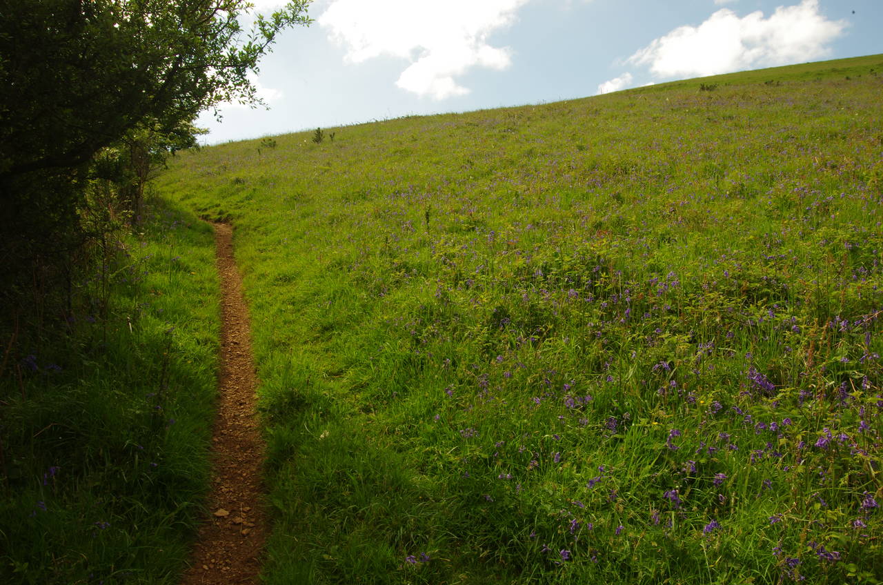
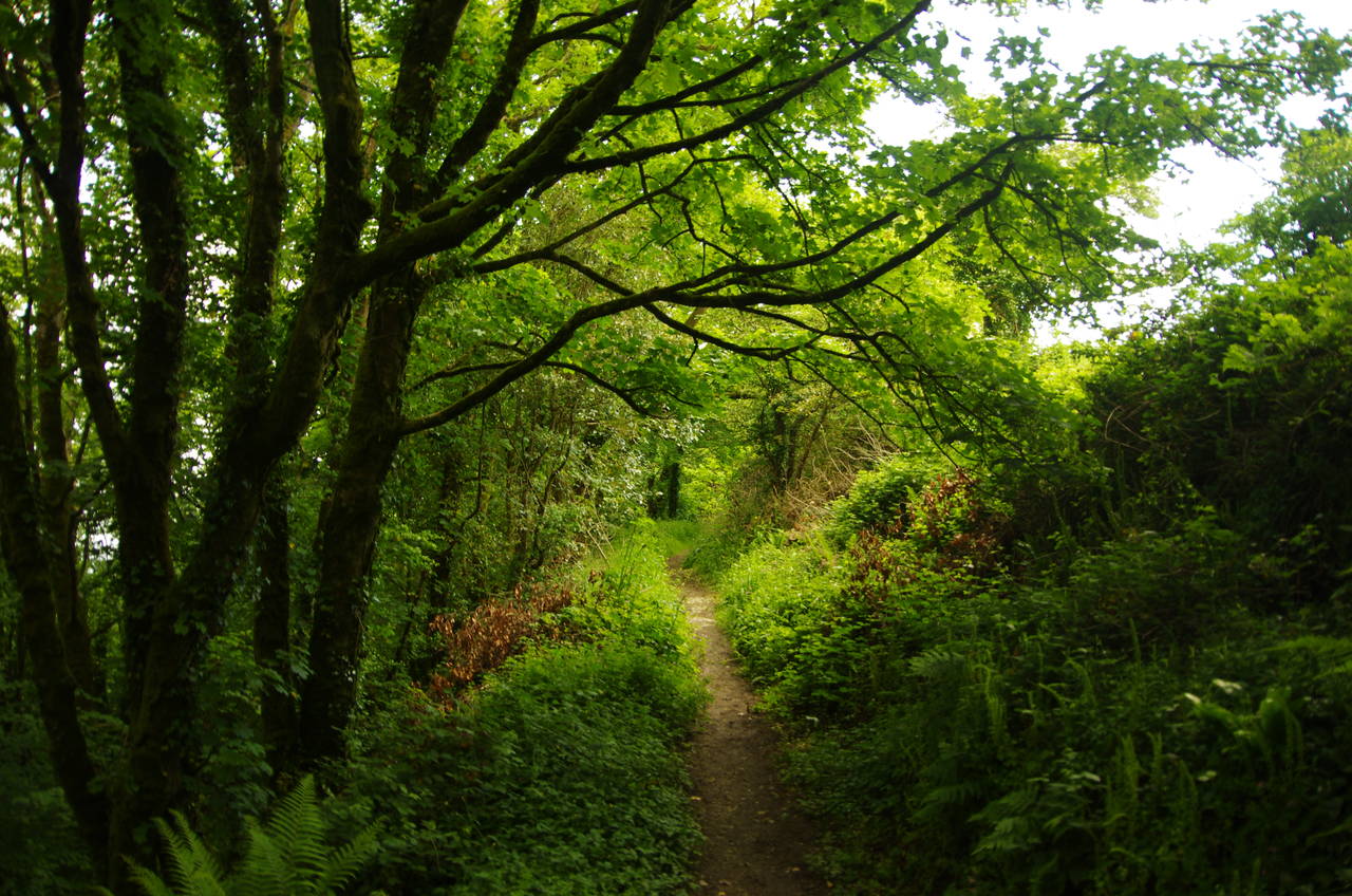
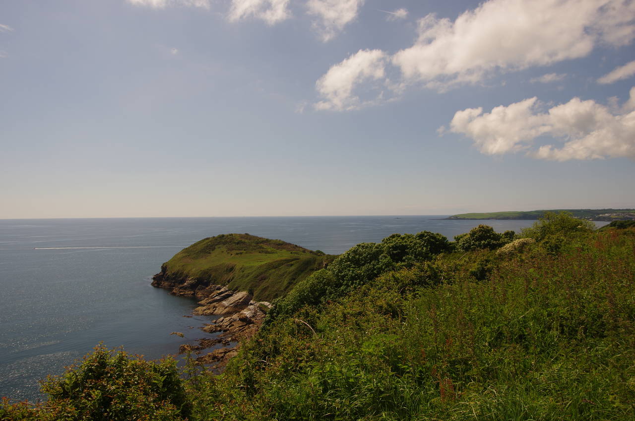
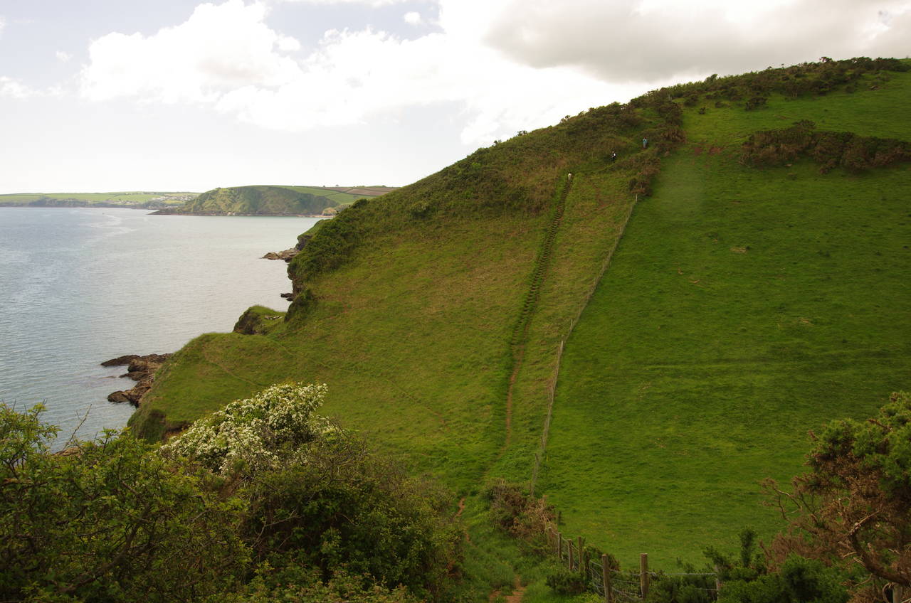
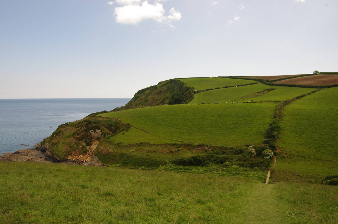
The route descends and crosses the sea-wall behind the beach before climbing back up through more scrub and a meadow carpeted with bluebells (picture 3) to regain the clifftop at Phoebe’s Point. After following a field edge to Silvermine Point, the path crosses a steep-sided coombe with a long footbridge in the bottom to reach Gwendra Point, then the edges of two more fields are followed to meet a lane at Trenarren Manor. The lane is followed briefly through trees and past a cottage to turn left on a track leading into the peaceful Ropehaven Cliffs Nature Reserve (picture 4).
(5) Black Head
(6) Rowse Stone
(7) View ahead from Drennick
(8) Hallane Mill
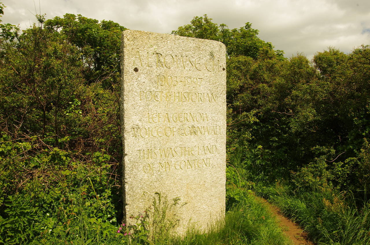
Emerging from the woods, the path follows the line of a wire fence around Gerrans Point and down towards Black Head (picture 5). The Coast Path doesn't go all the way to the tip of Black Head, but rather makes a sharp right-hand turn on reaching the Rowse Stone on the narrow neck of the headland. The Rowse Stone (picture 6) is a memorial to the Cornish poet A.L. Rowse (1903-1997).
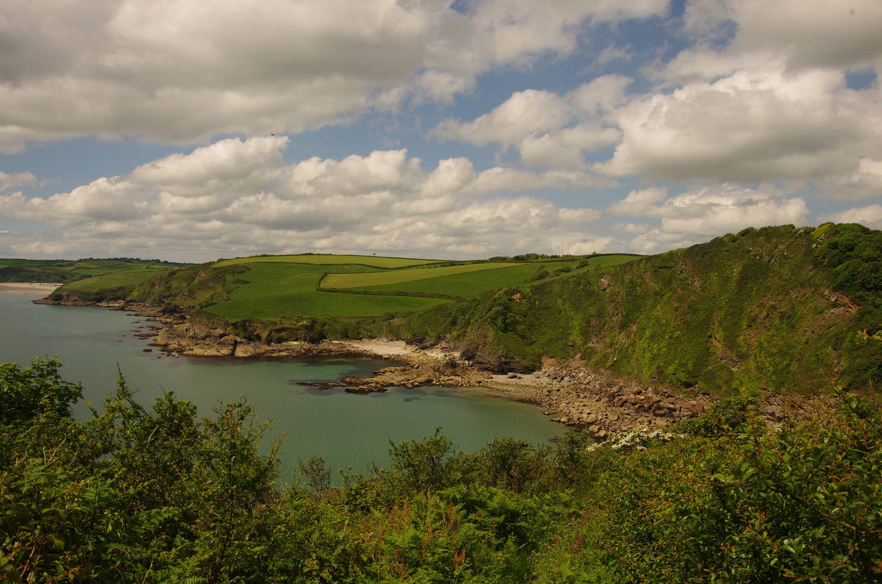
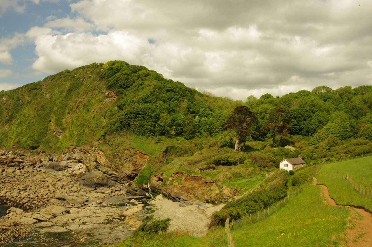
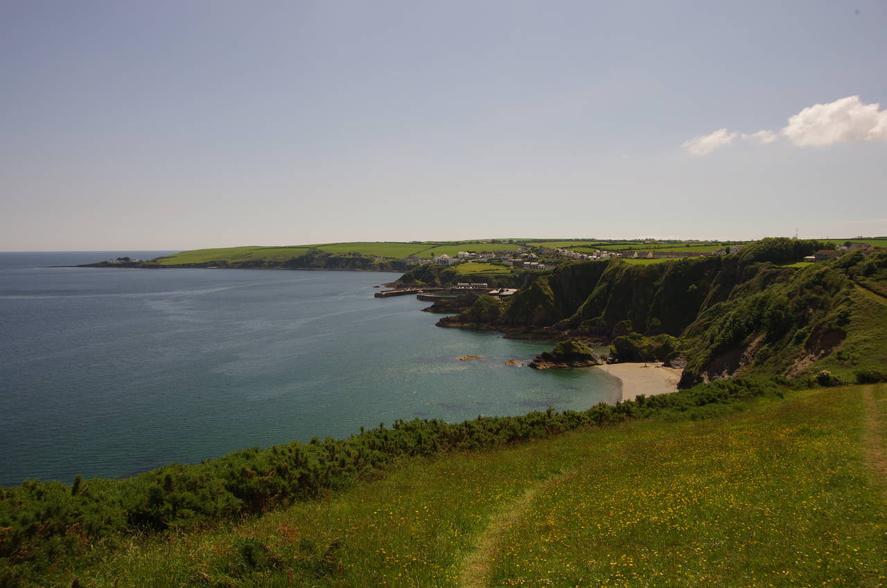
The path soon rounds the smaller headland of Drennick, from which there are views over the next section of the path by Mevagissey Bay (picture 7). From Drennick, the path descends above Hallane Mill Beach (picture 8), heading inland past a small cottage before turning left for a rather strenuous climb over The Vans, a steep, wooded hill behind the beach.
(9) View ahead from The Vans
(10) Point of Well
(11) Pentewan Beach
(12) Pentewan Village
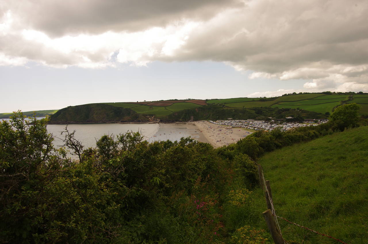
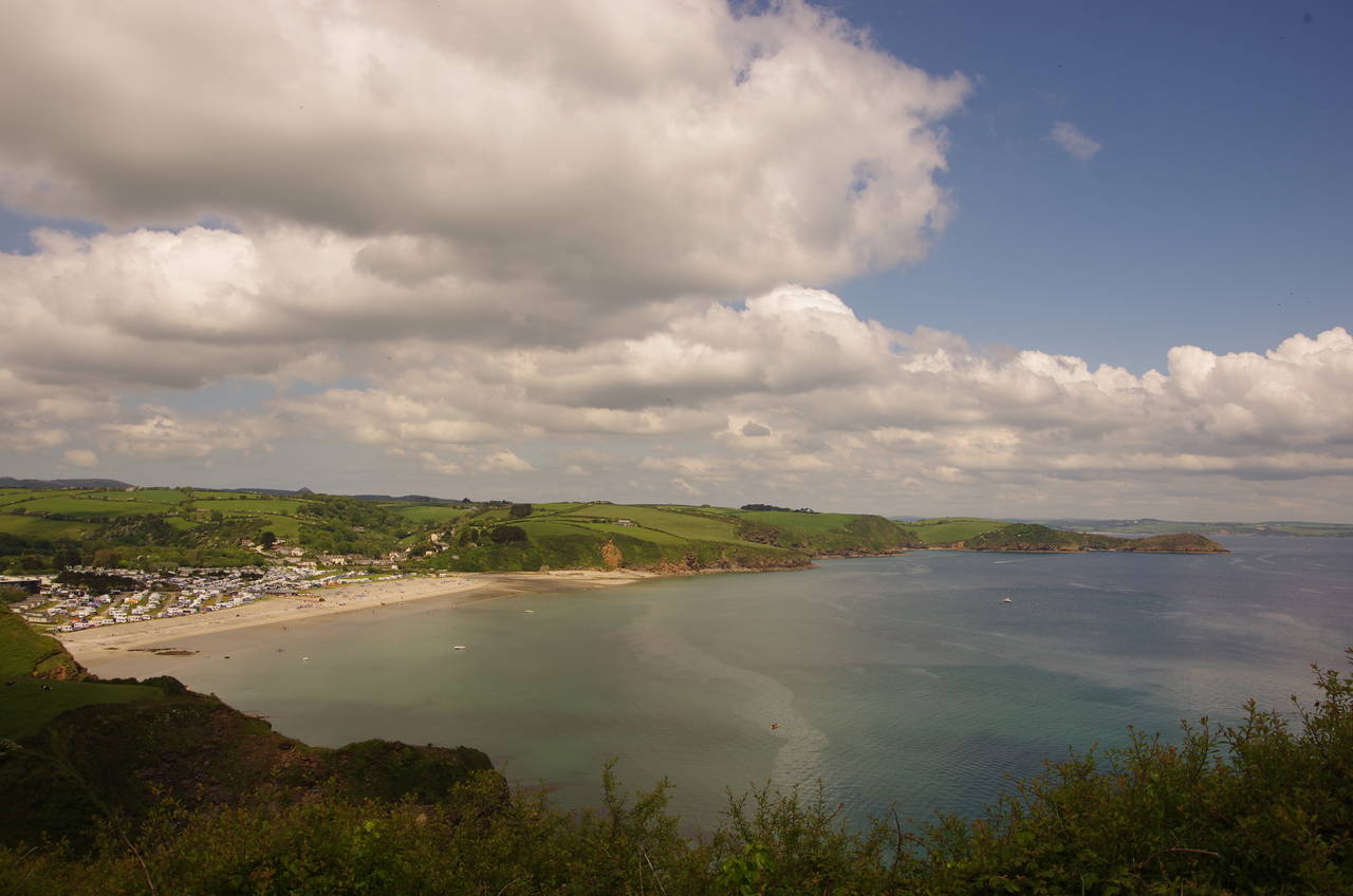
When the path emerges from The Vans, there is a good view of the route ahead (picture 9), with the path skirting around an unnamed headland before crossing a deep coombe to reach Point of Well (picture 10). After following fields edges around Point of Well, the path overlooks the sandy beach at Pentewan.
This village became an important china clay port with the completion of its harbour in the 1820's, but the harbour entrance suffered from silting and by 1940 the china clay industry had moved elsewhere. The harbour entrance is now completely blocked by sand, though the water-filled harbour basin and quays remain. The area behind the beach is now given over to tourism with a huge caravan and camping park adjoining the village behind the beach (picture 11).
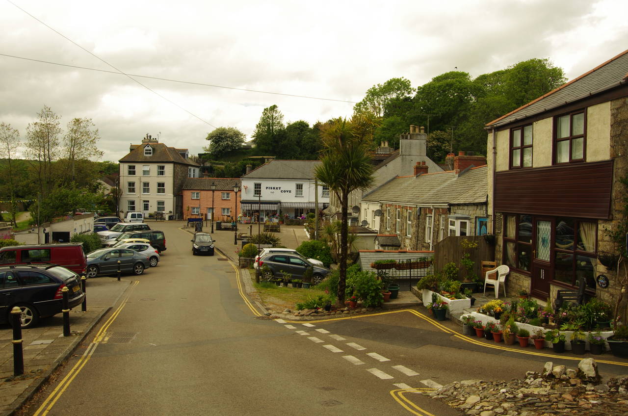
At the end of the last field, the Coast Path descends between post-and-rail fences to The Terrace, a quiet residential street. At the far end of The Terrace the route turns sharp left down Pentewan Hill to The Square (picture 12), which stands by the old quays in the centre of the village.
(13) Portgiskey
(14) View back from Penare Point
(15) Polstreath
(16) Trevalsa Court Hotel
From The Square, the Coast Path follows the winding road through the village to an intersection with the busy B3273, which is followed across the back of the caravan park for about 200 metres to the main entrance. Here the Coast Path takes a narrow path into a patch of scrub between the main road and the caravan park's access road, following the embankment beside the main road around a couple of long bends before finally emerging from the scrub in a field above the abandoned pilchard fishing hamlet of Portgiskey (picture 13).
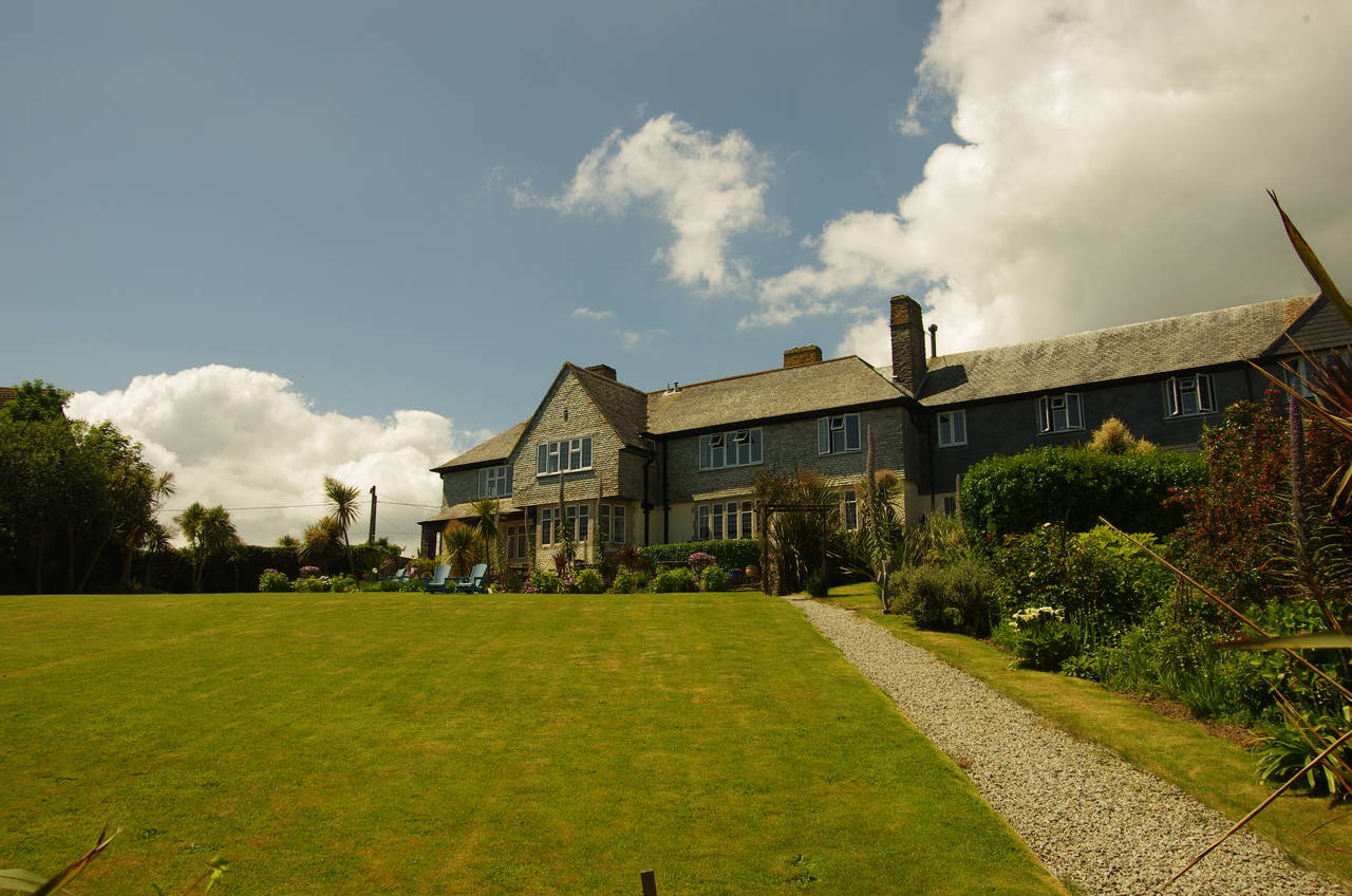
After dropping down to cross a footbridge over the little stream that flows down to Portgiskey, the path climbs up onto Penare Point, which has views over Pentewan and back to Black Head (picture 14). Shortly after Penare Point the path passes above the inviting sandy beach at Polstreath (picture 15) via an enclosed path to the seaward side of the Trevalsa Court Hotel on the fringe of the town of Mevagissey (picture 16).
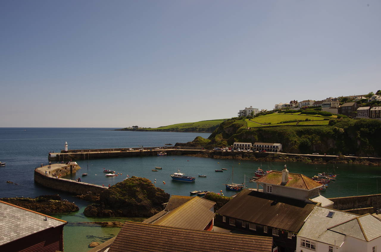
(17) Mevagissey's outer harbour
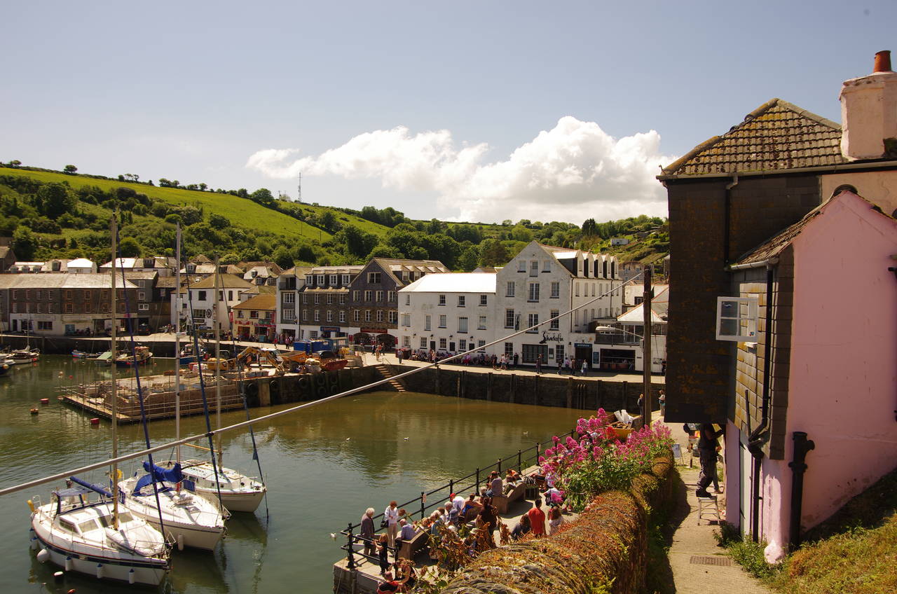
(18) Mevagissey's inner harbour
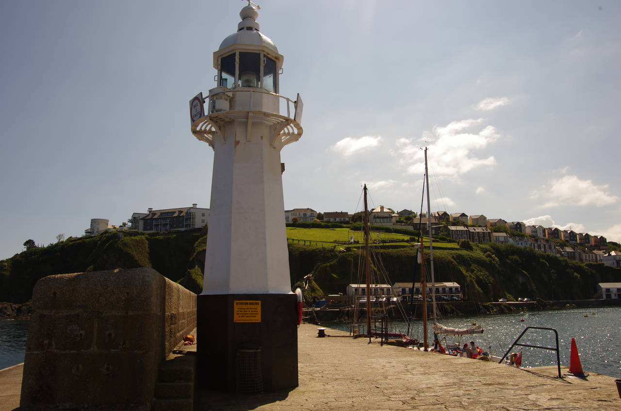
(19) Lighthouse on Mevagissey Pier
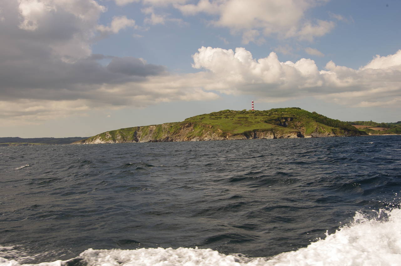
(20) Gribbin Head
A short walk beyond the hotel, the confined path emerges into a grassy park in front of houses, crossing it to find another enclosed path that descends amongst the tightly-packed houses above Mevagissey Harbour (picture 17).
Mevagissey is another old Cornish fishing village where tourism has now taken over from fishing as the biggest industry. The village, which was originally two separate settlements, takes its name from the local 13th century church, which is dedicated to the Irish Saints Meva and Issey. Cornwall has many place names that reflect contact with Irish saints and missionaries during the early Middle Ages.
The village is centred around the large harbour, which is still home to a small fishing fleet. The first parts of the harbour visible when approaching via the Coast Path are the strong outer piers, completed in 1897.
The Coast Path takes the footpath downhill past the fronts of houses to reach the quayside of the older inner harbour (picture 18), which was built in the 1770's. The route then follows the quayside all the way around the harbour to the landward end of the far pier, where the path ascends steps. This is where I left the Coast Path for the day, having walked 10.8 kilometres from Charlestown. Despite the relatively short distance, this had been one of the more tiring stages of the walk so far due to the amount of climbing and the relatively poor quality of parts of the path.
The pier is the departure point for a regular ferry service from Mevagissey to Fowey, crossing St Austell Bay and rounding Gribbin Head on the 40 minute journey. While waiting for the ferry to arrive, I wandered up to the end of the pier for a closer look at its small cast-iron lighthouse (picture 19), built in 1896 during construction of the pier and displaying a light visible for 19 kilometres.
After a wait of about 20 minutes I was able to board the ferry's last sailing of the day. The view of Gribbin Head from the sea (picture 20) was very different to what I saw when walking over it a couple of days earlier.