THE RIDGEWAY NATIONAL TRAIL
Stage 7: Tring to Ivinghoe Beacon
Thursday, October 18, 2012
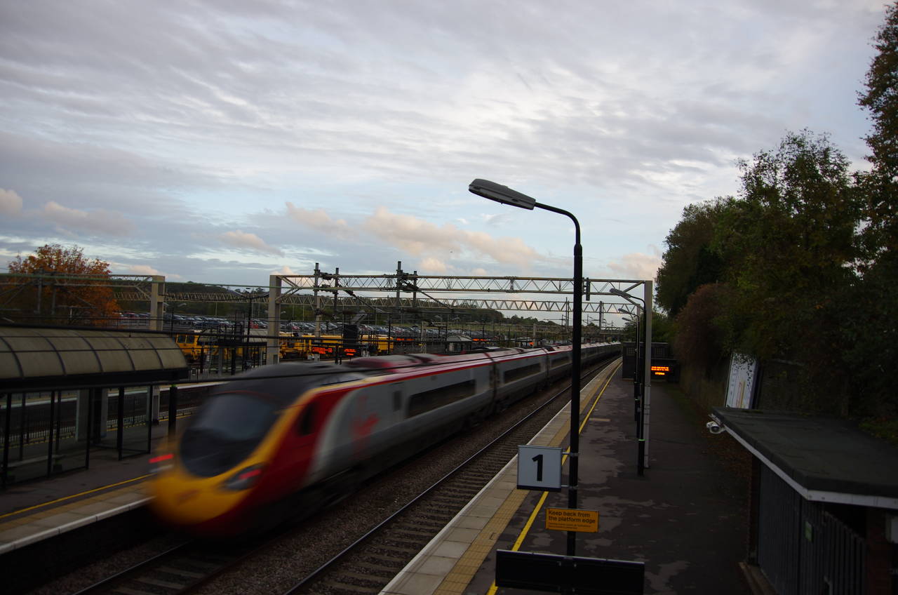
(1) Tring Station
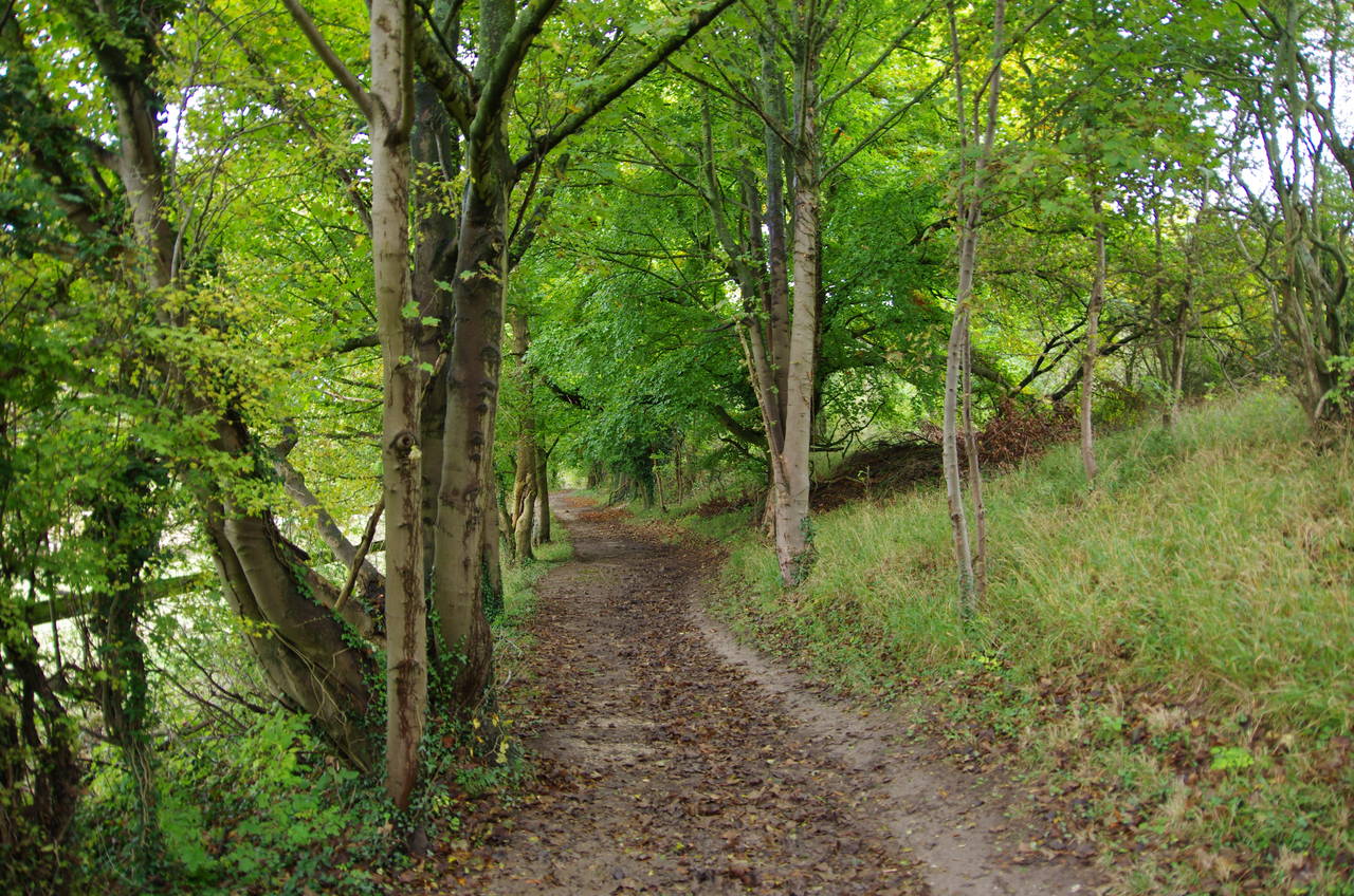
(2) Path above Westland Farm
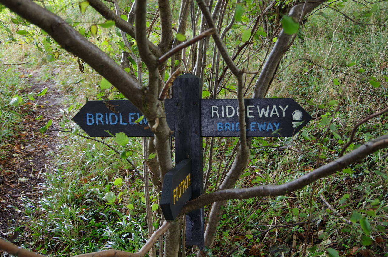
(3) Broken signpost
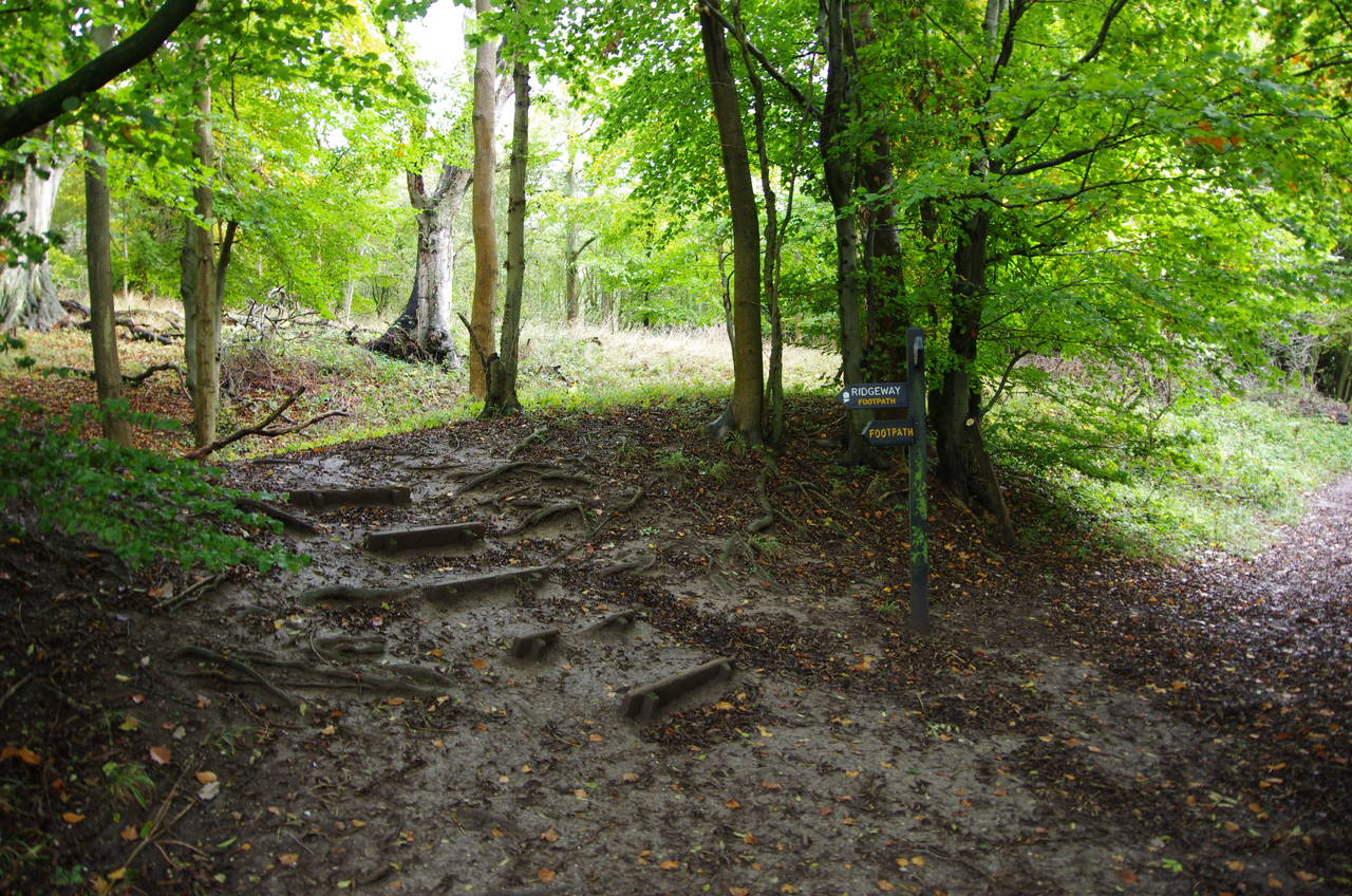
(4) Aldbury Nowers Nature Reserve
I began the short, 5.6 kilometre, final stage of the Ridgeway at Tring Station (picture 1) on a chilly and overcast Thursday morning.
The Ridgeway crosses over the tracks of the West Coast Main Line via the road bridge at the northern end of the station and follows Station Road for another 300 metres before bearing left on the tarmac driveway of Westland Farm. When the driveway bends left the Ridgeway continues ahead across grass to a crossing of paths where a signpost points left on a rising tree-lined path (picture 2).
After about 600 metres, the route bears right to skirt around a field, still inside the trees. I was momentarily unsure of the route here, as there was no signpost. I soon discovered the broken remains of the bottom half of a signpost in the undergrowth beside the path and the top half sitting in a tree another 20 metres along the path (picture 3).
The path soon emerges from the trees and passes through a gate into the National Trust's Aldbury Nowers Nature Reserve, following a path beside a wire fence overlooking a small meadow before turning left up a long flight of steps hewn into the hillside (picture 4) and on into Turlhanger's Wood.
(5) Collecting hay
(6) Chalk pits below Pitstone Hill
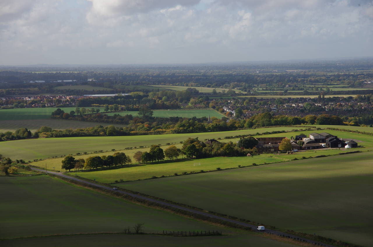
(7) View ahead from Pitstone Hill
(8) Incombe Hole
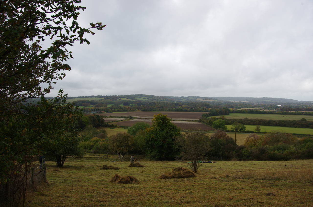
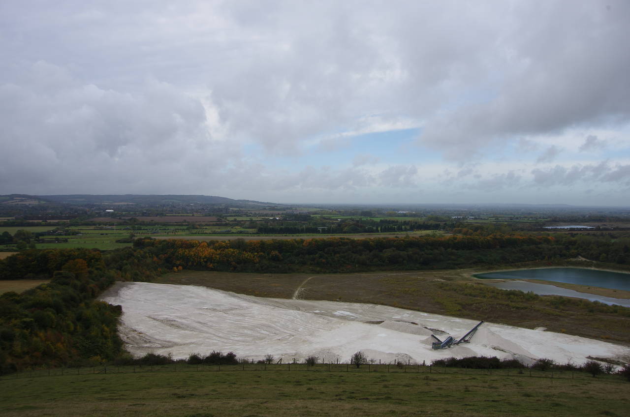
The path follows a bank (thought to be another Iron Age earthwork) inside the edge of the wood, passing above a meadow where a gentleman was collecting hay by hand (picture 5). Through the next section of the wood, the path emerges into open grassland on the side of Pitstone Hill, at the foot of which two large chalk pits scar the landscape (picture 6).
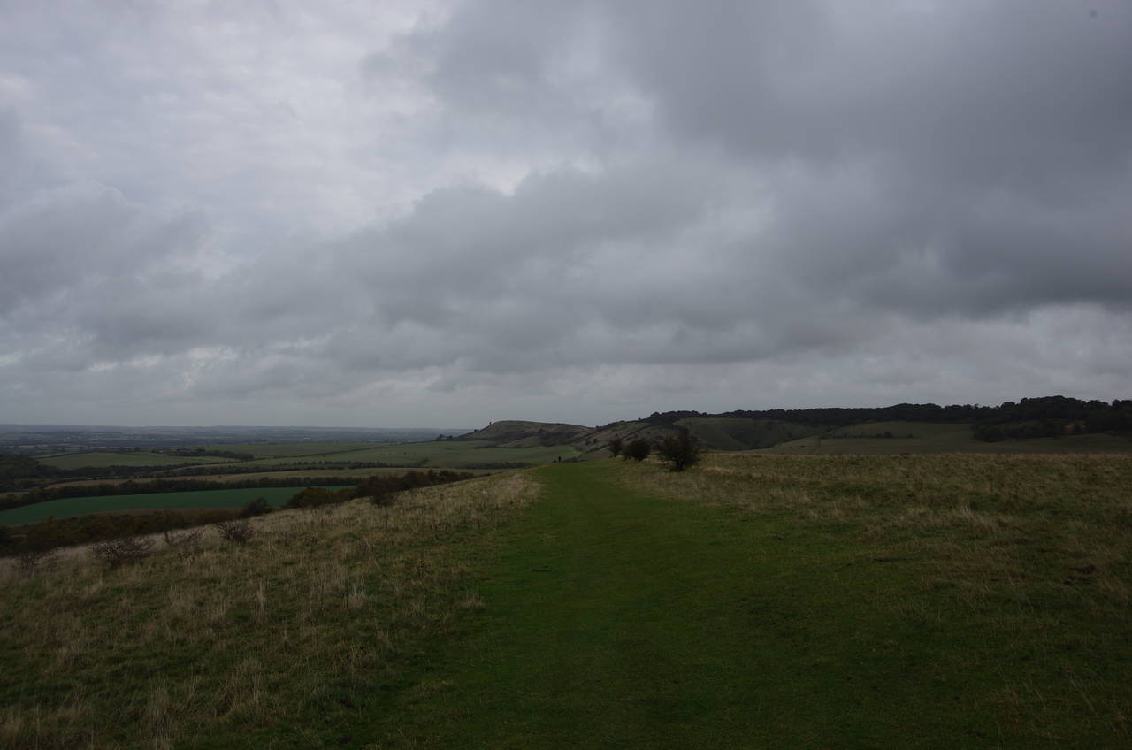
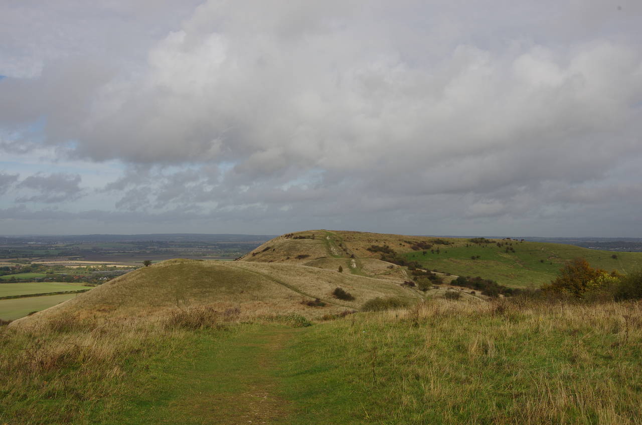
The path climbs briefly and then levels out with the remainder of the path up to Ivinghoe Beacon laid out ahead (picture 7). After dipping down and then climbing over another small hill, the path reaches a minor road, following it to the left for 100 metres before turning right through a wooden gate opposite a carpark.
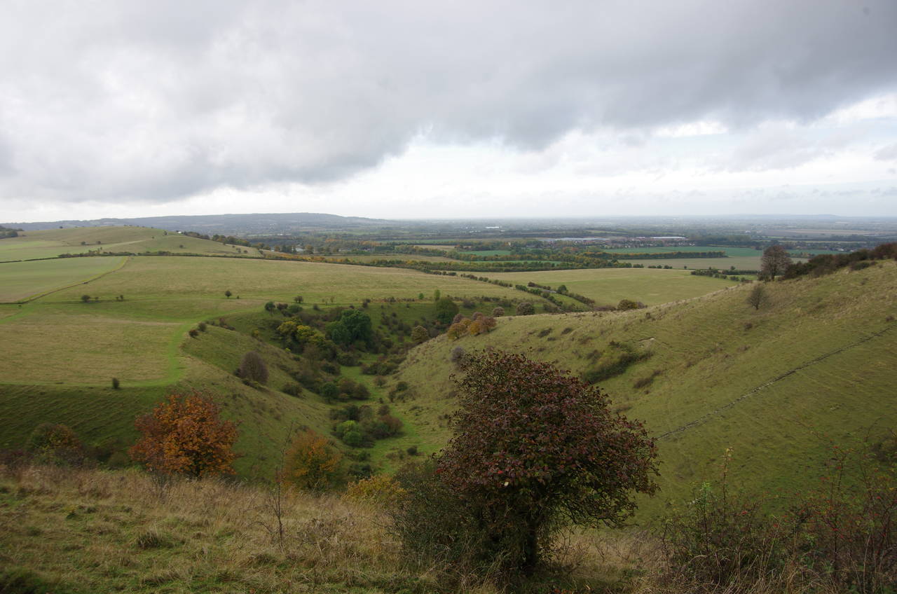
An obvious path climbs gently across a grassy meadow on the side of Steps Hill, where signs warn that this land was once used as a military training ground and any metal objects should be left alone. After 800 metres the path skirts around the end of Incombe Hole, a deep coombe gouged out of the side of Steps Hill (picture 8).
(9) View ahead from Steps Hill
(10) Climbing Beacon Hill
(11) Ivinghoe Beacon
(12) View north from Ivinghoe Beacon
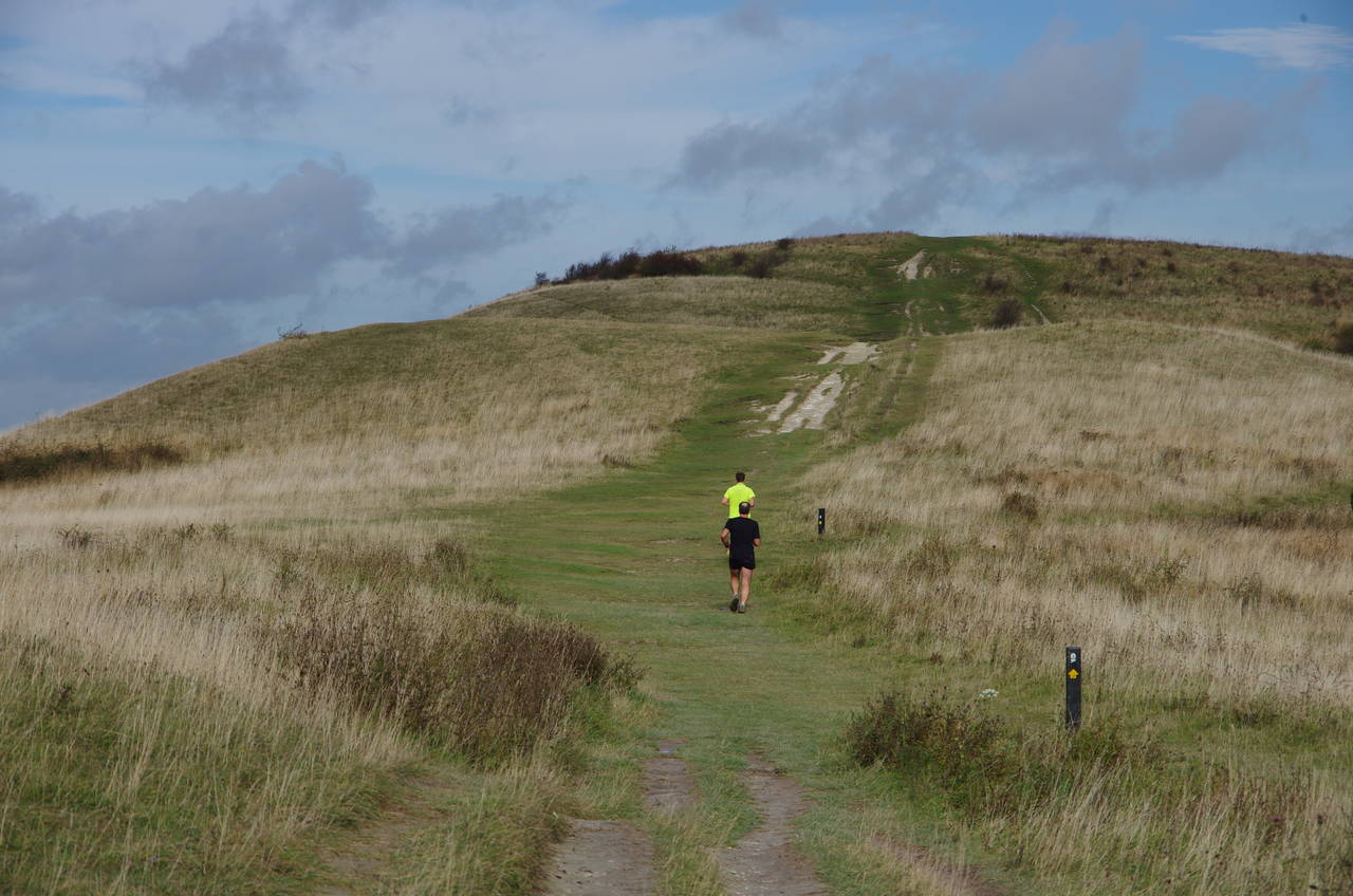
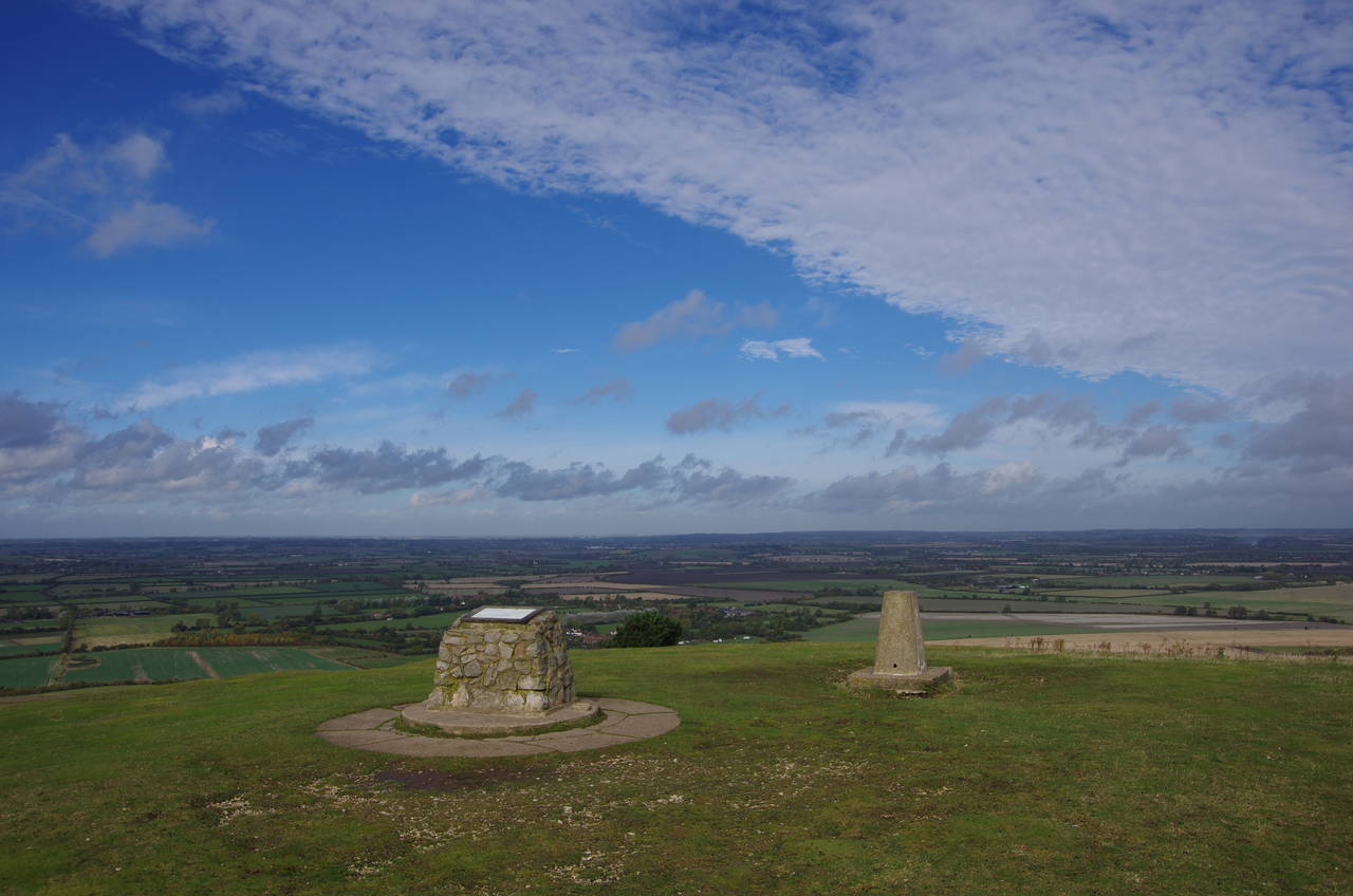
The path heads through a patch of scrub on the crest of Steps Hill, curtailing the views for a few hundred metres before the path returns to open grassland with Ivinghoe Beacon now tantalizingly close up ahead (picture 9). The path descends to cross a minor road before starting the final climb up Beacon Hill. I was soon passed by a couple of runners haring up the hill (picture 10), but I maintained a more leisurely pace for the last 500 metres of the Ridgeway, reaching the stone cairn that marks the official end of the trail just as the sun came out for the first time in the day (picture 11).
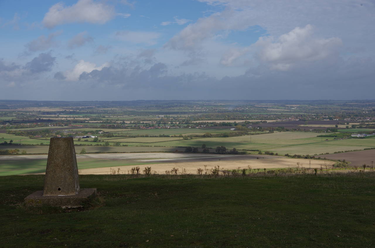
Ivinghoe Beacon marks the site of an ancient hill fort, possibly the oldest of all those passed along the Ridgeway and dating from the late Bronze Age. One can well understand why this location would have been chosen for a fort, standing on the end of a prominent headland with magnificent views over the flat land to the east, north and west (picture 12).
(13) Town Farm and Ivinghoe village
(14) Approaching cloud
(15) Church of St Mary the Virgin, Ivinghoe
(16) The Rose & Crown, Ivinghoe
To the west the view includes the village of Ivinghoe, which is visible beyond the large complex of buildings at Town Farm (picture 13) and reachable via the B489 road that runs past the foot of the headland. As there is no public transport near the end of the Ridgeway, the only real options are to walk back to Tring Station or head down to Ivinghoe village. Given the short length of the stage, which I had finished before noon, my plan was to spend the afternoon exploring some of the villages and towns near the end of the walk.
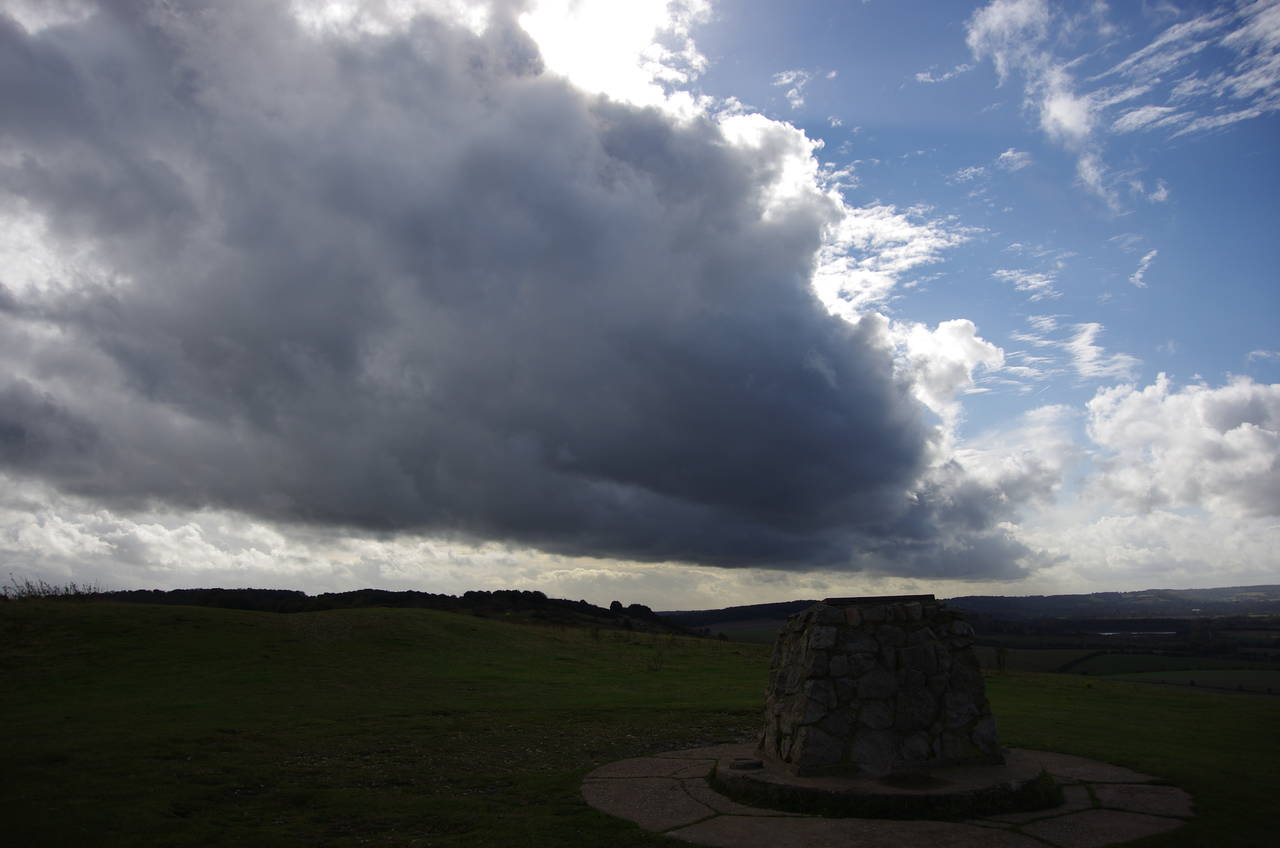
Twenty minutes after I arrived, the sun once again disappeared as the next band of dark clouds swept across Ivinghoe Beacon (picture 14) and I figured it was time to move on.
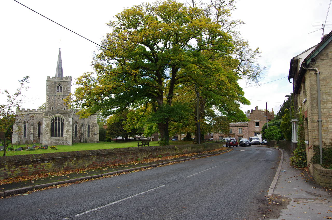
There is a direct path down from Beacon Hill to the B489, but it is very steep and I decided that it was safer to head back the 500 metres to the minor road I had crossed on my way up the hill and to follow that down to the B489 instead. Following the narrow footpath beside the B489 leads past Town Farm to a junction with the B488 where a right turn soon leads into Ivinghoe Village, where the ancient Church of St Mary the Virgin stands on the left (picture 15).
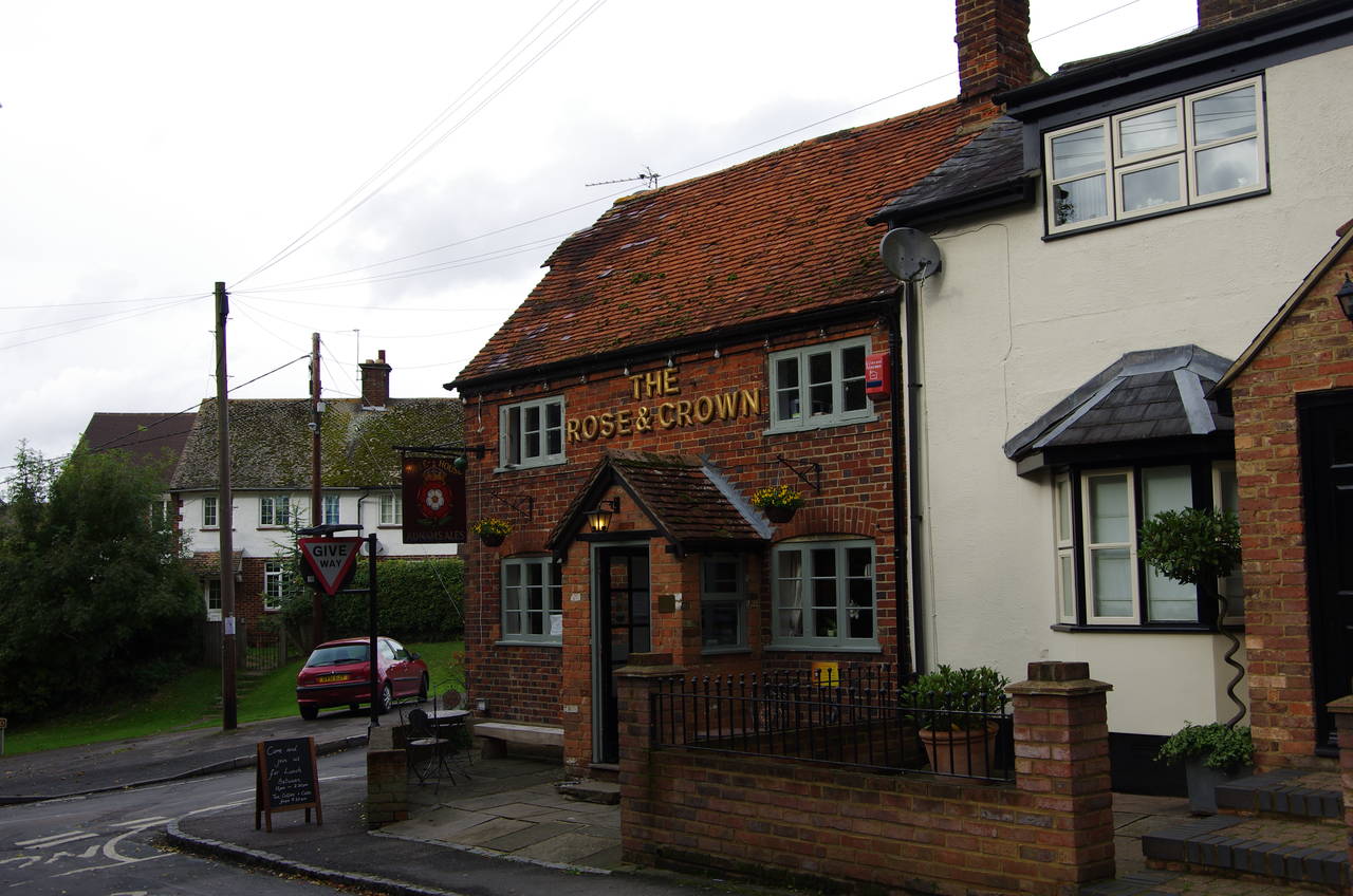
Opposite the church, another right turn into Vicarage Lane leads to the Rose & Crown pub (picture 16), where I stopped for a long lunch. This is a cozy pub with a friendly landlord who is obviously accustomed to hosting Ridgeway walkers and loaned me a book about the history of the village to read over lunch. The pub also had a good selection of real ales including Tring Brewery Ridgeway Bitter, Sharp's Doom Bar, White Horse Bitter, and Caledonian Mild Acquaintance. Of course, I had to try the Ridgeway Bitter first; a fitting way to celebrate the end of a magnificent walk and the completion of my fourth National Trail.