OFFA'S DYKE PATH NATIONAL TRAIL
Stage 5: Hay-on-Wye to Kington
Saturday, June 8, 2019
(1) Butter Market, Hay-on-Wye
(2) Outdoor bookstore

(3) The Three Tuns, Hay-on-Wye

(4) The Baskerville Arms, Clyro
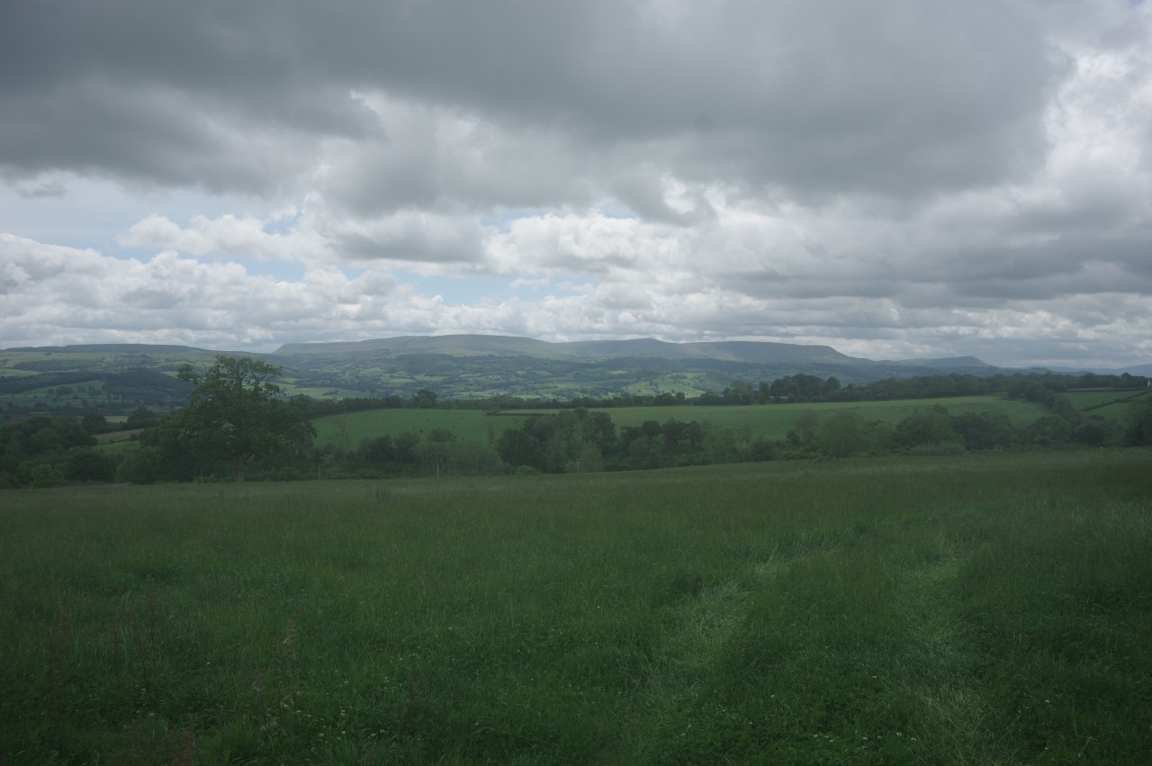
For once, the weather forecast was accurate — heavy rain started in the early hours of the morning and with no sign of a break in the weather by breakfast time, I decided to stay put in Hay-on-Wye for an extra day and paid for another night at the campsite before walking back down the hill to town.
Hay-on-Wye (Y Gelli in Welsh) is a border town on the edge of the modern-day county of Powys with a history stretching back to Norman times. The border follows Dulas Brook down from Hay Bluff and around the eastern edge of town to its confluence with the Wye. Hay is best known as the place with more bookshops per-capita than any other town or city in Britain, with around thirty new and secondhand bookshops serving a population of a little under two thousand.
As I wandered up Lion Street in search of hot coffee and breakfast, two of my new friends emerged from a side street with cheerful greetings, despite the miserable weather. Having booked all their accommodation in advance, they were obliged to walk the 23.7 kilometres to Kington in the rain, and were just waiting for the other two members of their group to acquire some supplies before they set off. In the meantime, they recommended Angie's Cafe, just around the corner in St John's Place.
When the others appeared, I wished them all a safe walk and bade them farewell. It was unlikely that I would manage to catch up with them again, as they weren't planning any days off the trail. It must have been a fairly challenging day's walking for them, as the persistent rain didn't abate until late in the evening.
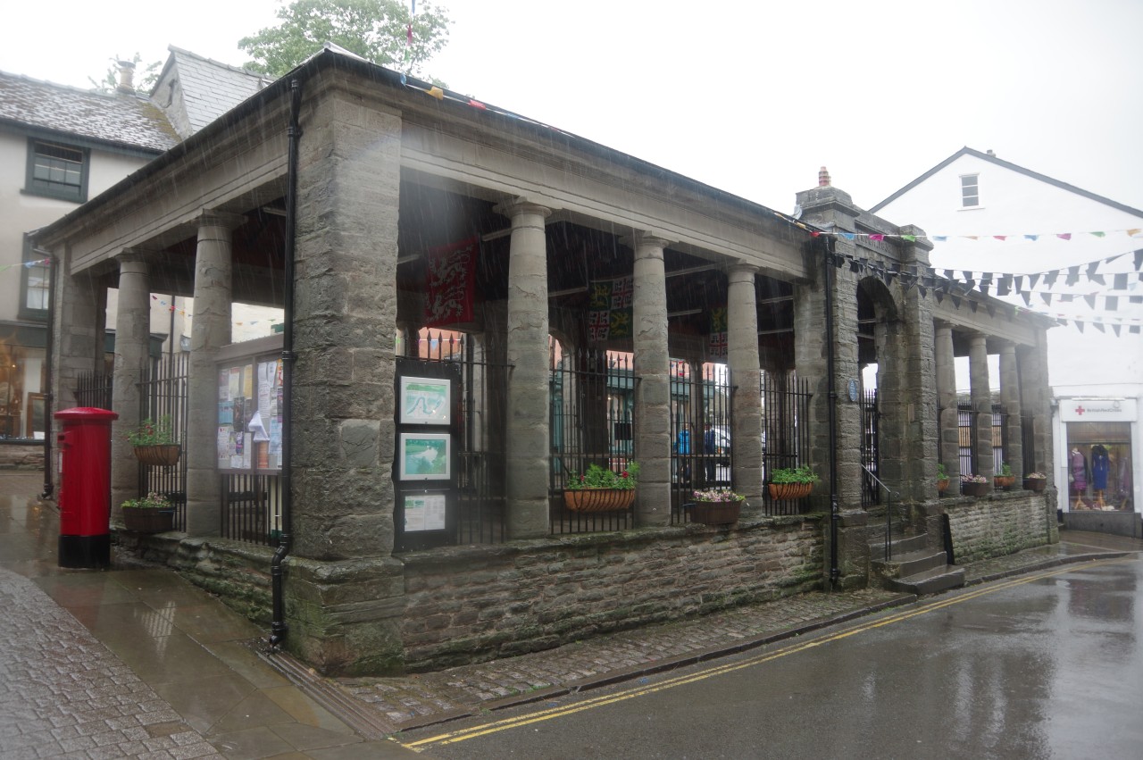
A little while later, somewhat fortified by one of Angie's delicious breakfast rolls and a large coffee, I did my best to explore the town centre. Around the corner from Angie's, on High Town, is the Doric-columned 1833 Butter Market (picture 1), while just around the corner on Castle Street the 1835 Cheese Market provides some useful shelter and an interesting series of displays on the town's history.
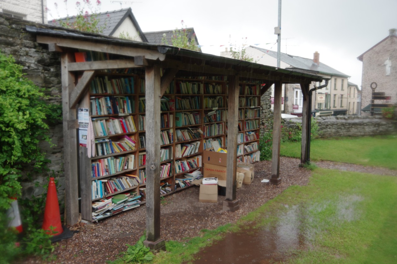
Castle Street takes its name from Hay Castle, which was mostly hidden behind scaffolding as it was undergoing extensive renovations. In the courtyard below the castle, next to a bookshop and opposite another, was an outdoor bookshop (picture 2).
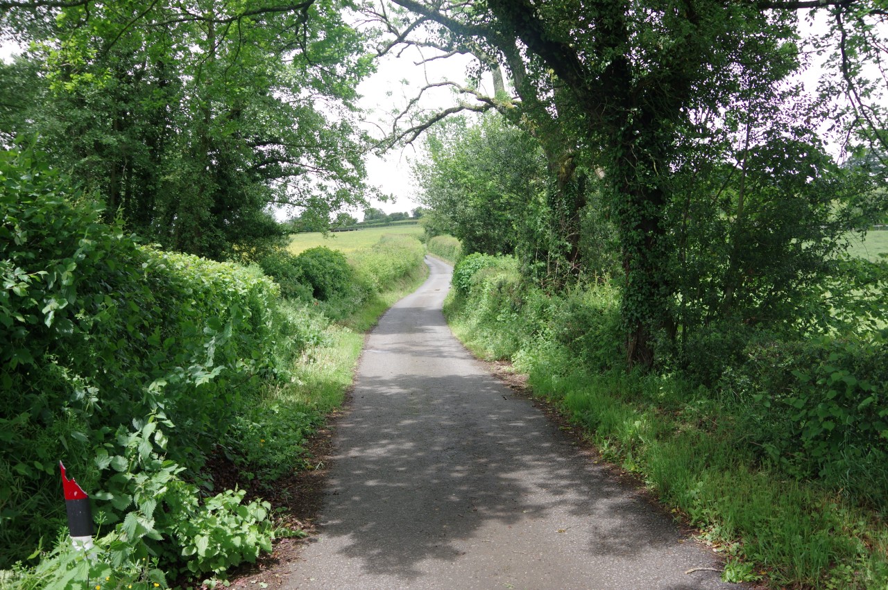
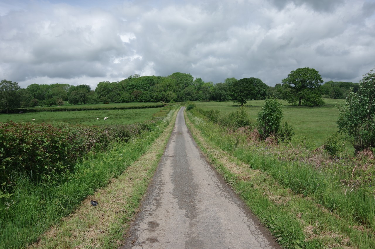
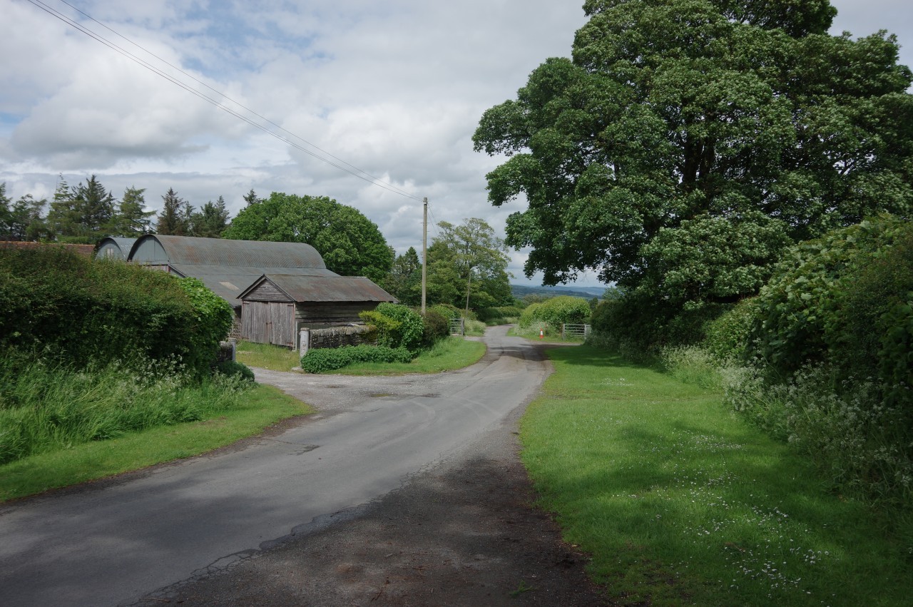
After a few hours wandering around the rain-soaked streets I stopped for lunch at the Three Tuns (picture 3), before trekking back up the B4351, past Radnors End and onward for a couple of kilometres to the village of Clyro.
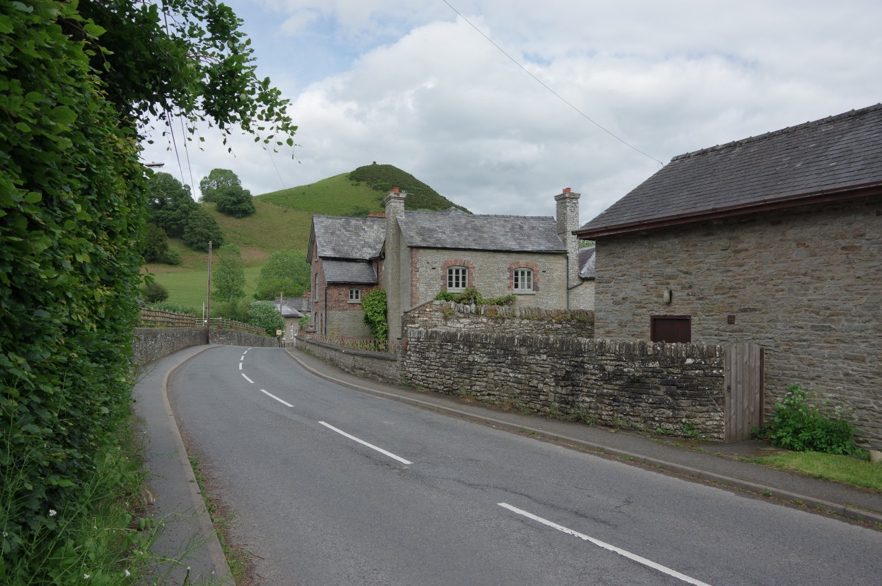
Clyro's main claim to fame is as the place where Sir Arthur Conan Doyle penned The Hound of the Baskervilles, set on Dartmoor but inspired by the countryside around Clyro. This was commemorated in the name of the village pub, The Baskerville Arms (picture 4), where I decided to while away the remainder of the afternoon out of the rain.
(A few months after my visit the Baskerville Arms was taken over by new owners and reopened in 2021 as the Baskerville House B&B, retaining the hound atop the portico as a nod to the building's history.)
(5) Path beside the River Wye
(6) Riverside meadow

(7) Bettws Dingle
(8) View toward Hatterall Ridge
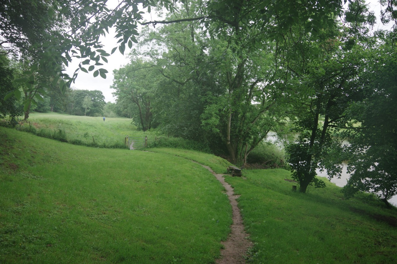
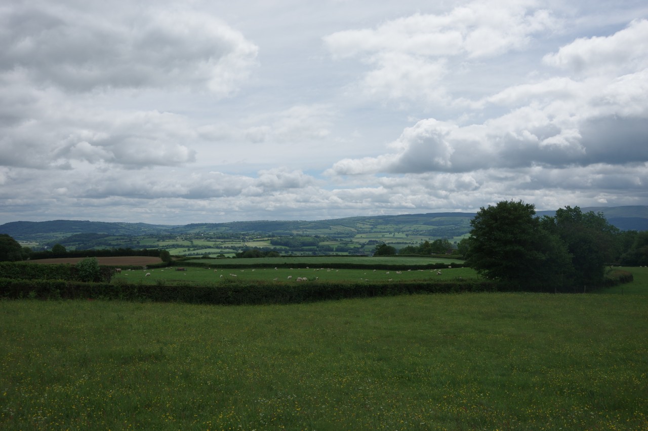
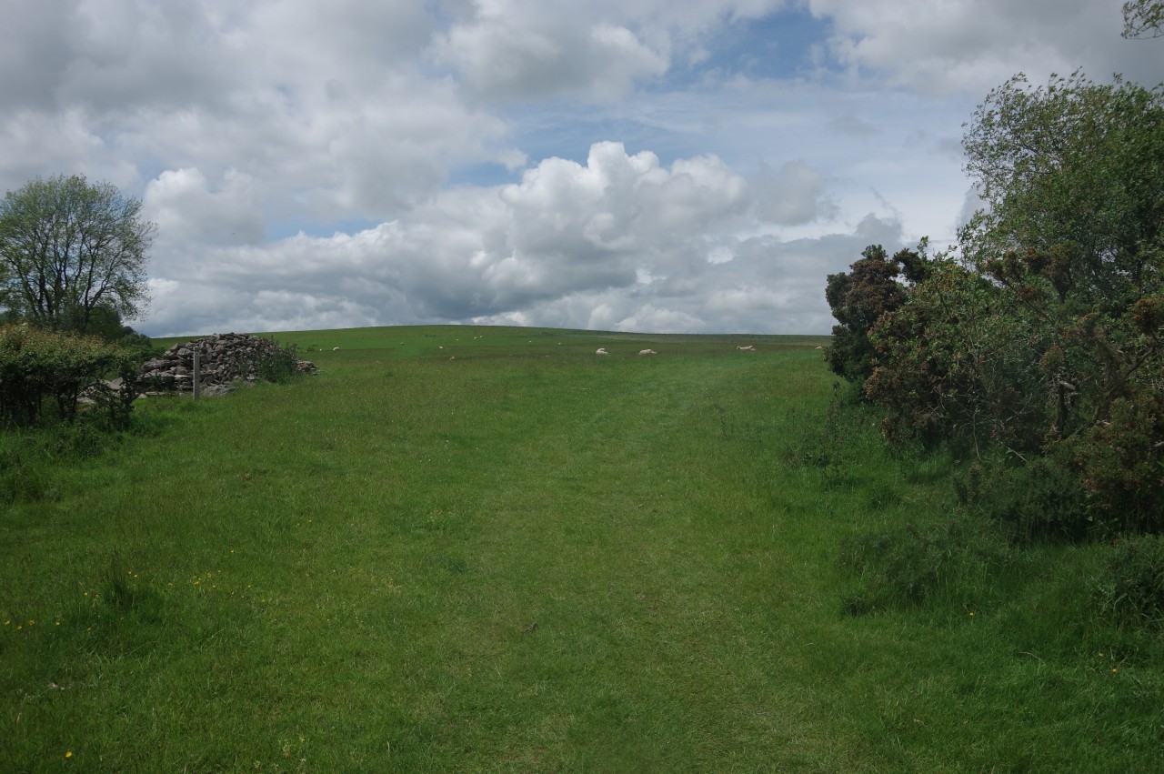
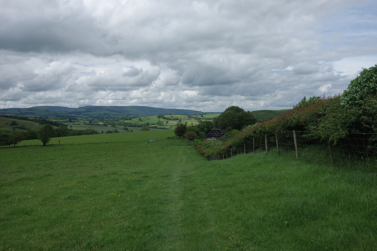
By the following morning, the rain had reduced to intermittent drizzle, so I decided to try my luck on the trail. From a large information board by the west end of Hay Bridge, a footpath heads through trees above the River Wye to a riverside viewpoint (picture 5). Through a gate, the path continues parallel to the river, crossing a grassy meadow encircled by trees before heading into a much larger riverside meadow.
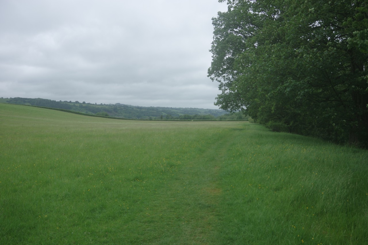
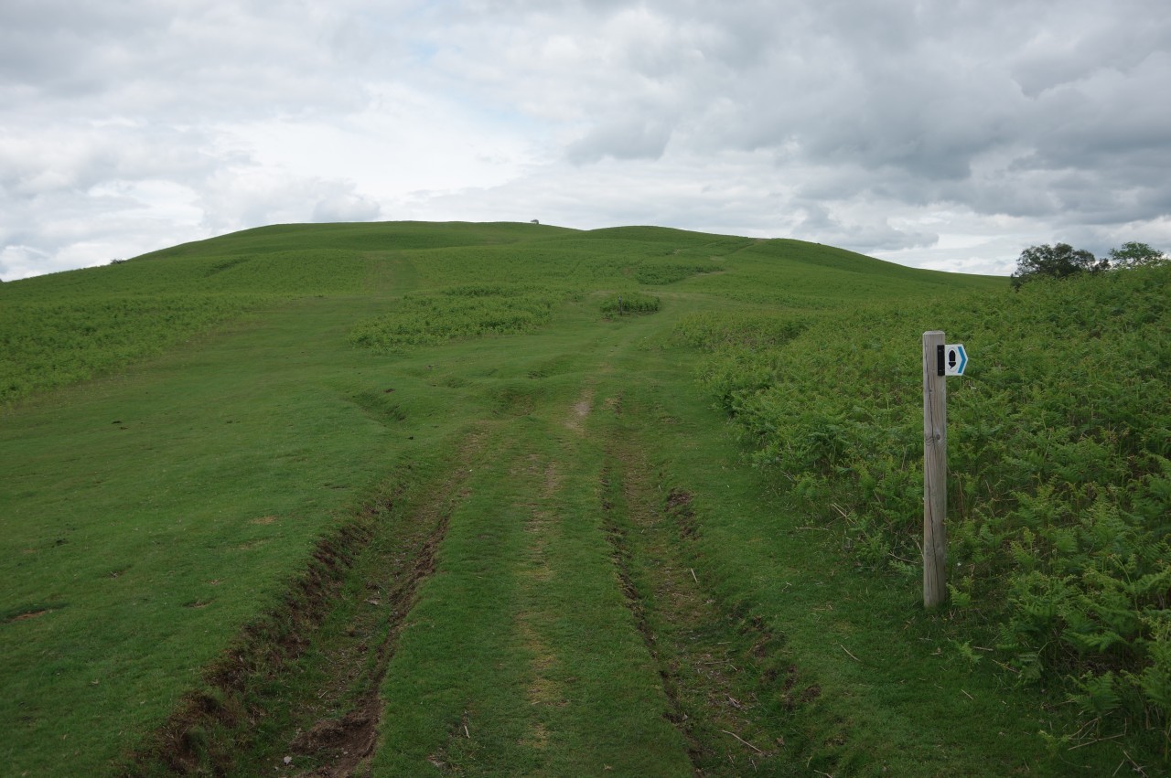
In a second meadow (picture 6), the path bears away from the river towards a gate in the hedge opposite. Across four more large meadows, the path passes just to the right of Bronydd Farm, going ahead over two smaller fields to cross over Clyro Brook and climb to the side of the A438. Three hundred metres to the right along the grassy verge, the Path turns left to climb half as far again up a lane to find a gate on the edge of the woods of Bettws Dingle.
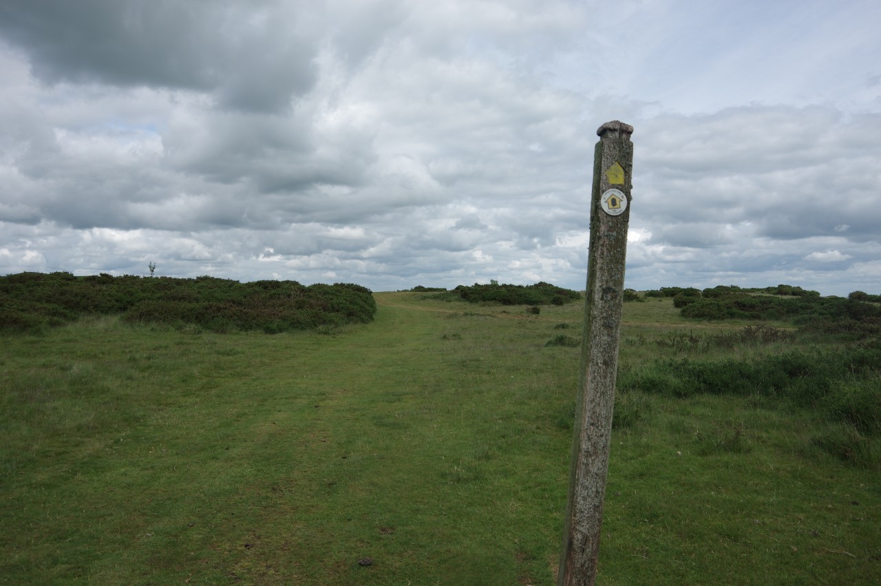
As I followed the path through the woods, the sun appeared for a few minutes (picture 7), giving me a little hope of better weather. At the far end of the woods, the path crosses Cadalfa Brook and snakes its way through a stretch of low scrub to reach a quiet, hedge-lined lane, where the ODP is signposted to the right. The lane climbs for about seven hundred metres to a lonely crossroads, with the only view being from a farm gate about halfway up, where one can gaze southward over the Wye Valley to the Hatterrall Ridge and the peaks at the northern end of the Black Mountains (picture 8).
(9) View across the Wye Valley from Cae-Higgin
(10) Crowthers Pool
(11) Avenue of trees
(12) Red Lane
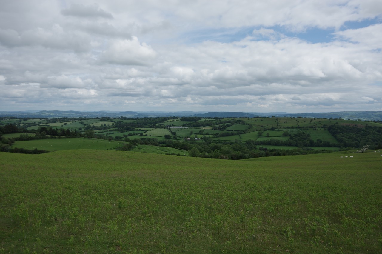
At the crossroads, Offa's Dyke Path turns right on another sunken lane, climbing briefly then dipping down into trees in the top of a combe. Just beyond a small farmhouse on the left, the Path turns into a steep hillside pasture, climbing to a gate under a big oak tree then angling towards the top-right corner of a meadow by the farm buildings of Cae-Higgin, where there is a good view eastward across the Wye Valley (picture 9).
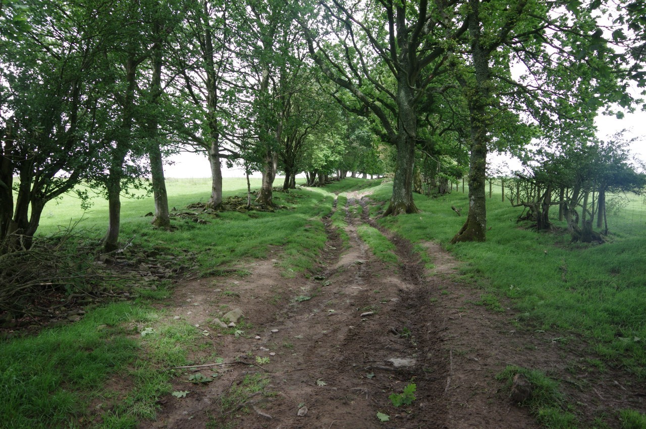
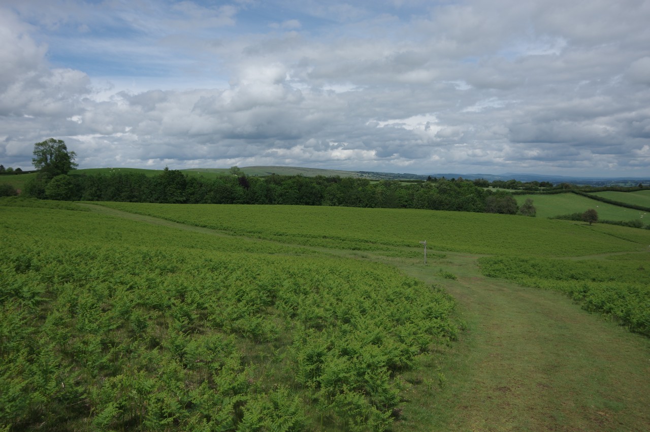
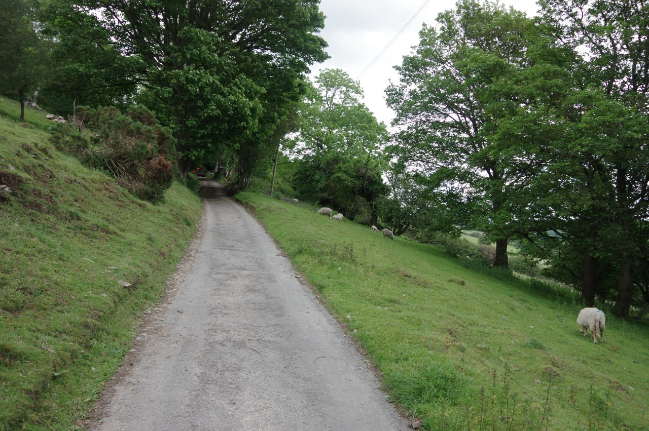
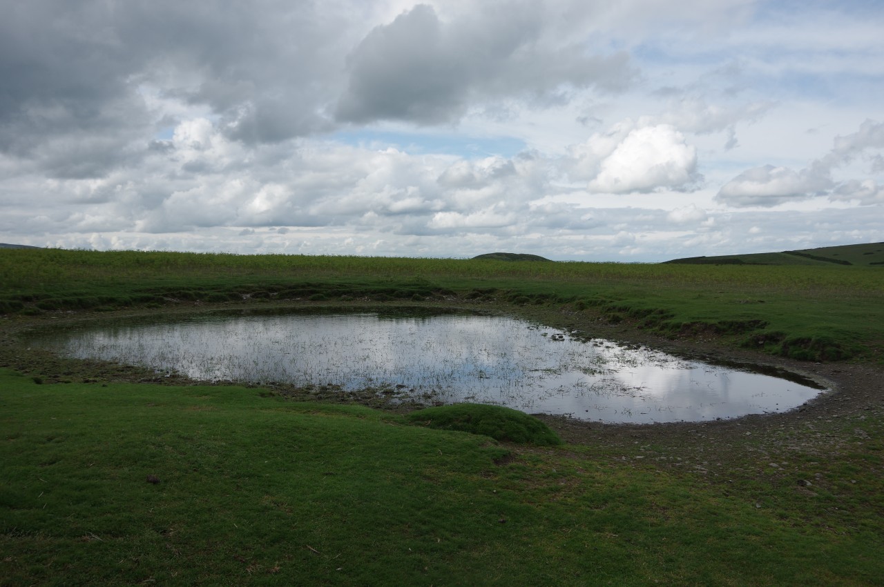
A kissing gate takes the Path onto a quiet lane called Crowthers Pool, where there was another fleeting glimpse of the sun as I walked through a band of trees that delineate the Welsh border (picture 10). Now in Herefordshire, I followed the winding lane to a signpost pointing to the right, up a deeply rutted track under an avenue of trees (picture 11). I found the going quite slow here as the track had been made very slippery by the recent rain and the ruts were often filled with puddles.
The avenue of trees ends after six hundred metres, though it felt like it was much further. Ahead, Offa's Dyke Path heads down the length of Red Lane (picture 12), which once again marks the national border.
(13) Little Mountain
(14) View over Newchurch
(15) Church of St Mary, Newchurch
(16) Climbing Disgwylfa Hill
At the far end, shortly after the tarmac runs out, the border turns right but the Path turns left to stay in Wales and climb a short, steep track into a large pasture on the flank of Little Mountain (picture 13).
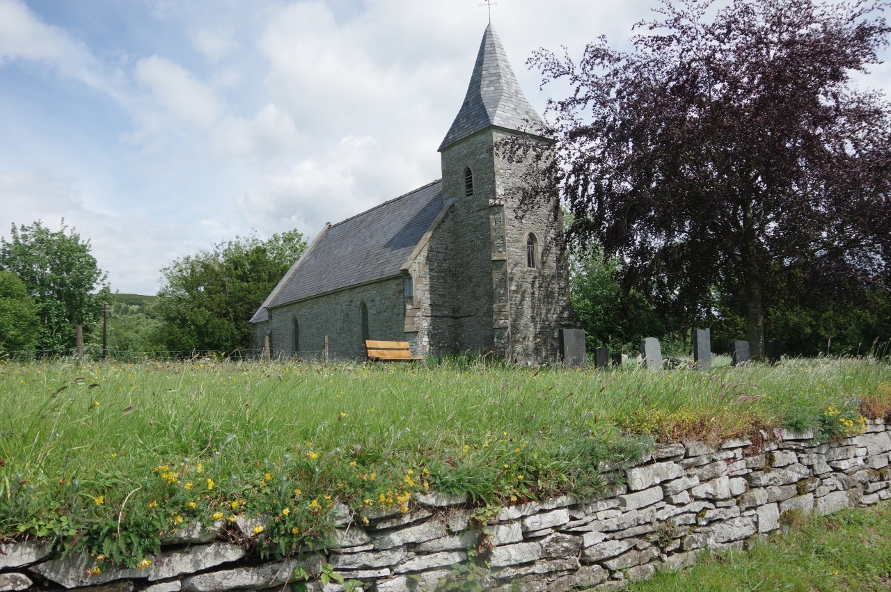
Offa's Dyke Path ignores the summit ahead and instead turns away along the right-hand side of this field and two more to crest the ridge overlooking the village of Newchurch. Through the next gate, which had fallen down (picture 14), a track curves down the hillside towards Gilfach-yr-heol Farm, but halfway down the ODP turns sharp right then soon left to bypass the farm and follow its access road down to the village, where the Church of St Mary (picture 15) stands by the main junction.
The church is a popular rest stop and meeting place for walkers as it provides tea, coffee, orange juice and biscuits in return for a small donation to help with the upkeep of the building. When I arrived, there were half a dozen southbound walkers inside and two more couples arrived as I was departing.
Outside the church, Offa's Dyke Path follows the B4594 across the River Arrow then immediately turns right through the yard of a large white house to join a sunken track that begins to climb onto the open-access land of Disgwylfa Hill. Before long the path is on open, gorse-covered hillside, following a series of weathered signposts up to a 362-metre secondary summit (picture 16).

(17) Disgwylfa Hill
(18) View toward the Wye Valley
(19) Turning toward Hill Farm

(20) Hill Farm
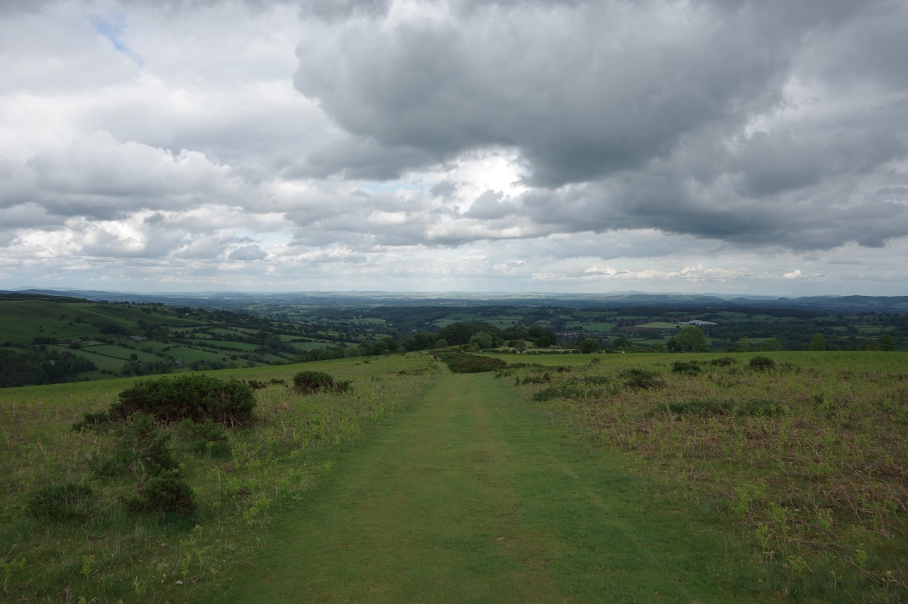
Offa's Dyke Path then aims for the true summit (picture 17), which lies another kilometre ahead beyond a boggy dip and a five-way junction of paths. From the summit there is a panoramic view to the east over the Wye Valley (picture 18).
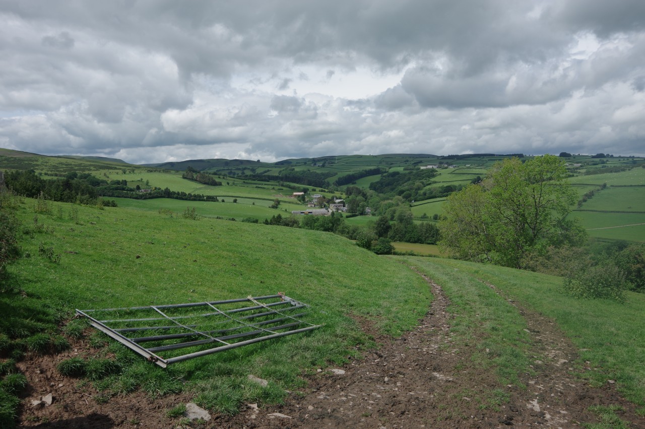
Over the summit, the path descends to another junction where a fingerpost points left across the bracken-clad slope towards Hill Farm (picture 19). From a farm gate on the edge of the access land, a track leads through the middle of Hill Farm (picture 20) and out to a lane.
(21) Grove Farm
(22) View toward Gladestry
(23) Gladestry
(24) Royal Oak Inn, Gladestry
Offa's Dyke Path turns right past Grove Farm (picture 21). At the first gate on the left, the Path heads up the left side of a small field, bears right down the middle of a larger, triangular field, then follows the left edge of an even larger field to reach a stile by a lane, opposite the gates of Fairfields, a large country home.
Fifty metres to the right, an enclosed footpath runs along the edge of Fairfields to cross a stile from which a line of trampled grass climbs to a gate in the top corner of a rough meadow. Descending along the edge of the next field, there is a good view over the valley ahead and the village of Gladestry (picture 22).
At the bottom of the field, the ODP turns right through an enclosure full of hay bales then follows a faint track down to a fingerpost where the Path bears right down a gully to reach a lane by a stone barn. The lane is followed over Wernol Brook and into Gladestry to meet the B4594 for a second time. Turning right, the road is followed past a small green with a handy park bench then past several stone houses (picture 23) to reach the Royal Oak Inn (picture 24).
I had been planning to stop for a late lunch at the inn, but as I approached I noticed that the pub's sign had been taken down and I soon heard the sounds of hammering and drilling from within, as the interior was being renovated. I always carry some extra snacks for emergencies, so this was more of a minor disappointment than a major inconvenience and I didn't miss out entirely, as the Royal Oak was back in business when I returned on my southbound walk in late September.
(25) Broken Bank
(26) Hergest Ridge
(27) Dew pond on Hergest Ridge

(28) View toward Hanter Hill
Munching on a trail bar in lieu of a pub lunch, I took the next right turn up an unnamed lane, soon forking left up Broken Bank (picture 25), which angles up the side of the steep hill that looms over Gladestry at the western end of Hergest Ridge Common, a 439-hectare swathe of moorland. The tarmac soon peters out and Broken Bank becomes a stony track that climbs alongside a long line of trees to eventually emerge on the grassy hillside, still with some climbing to do to attain the ridgetop (picture 26).
As the path keeps ascending eastward, the Black Mountains are still prominent over to the right, but the view to the left is restricted to bracken and sky for another kilometre until the path passes a dew pond (picture 27). Having now finally reached the true ridgetop, the view begins to open up as the path curves left around the top of a steep-sided combe separating the ridge from the conical Hanter Hill (picture 28).
The top of the combe is where the border crosses the ridge and Offa's Dyke Path crosses back into England for the remainder of the day. This is also where another path comes up the side of the ridge from the B4594, which is hidden out of sight in the valley below. As I passed the path junction, a young lady rode up that path on a slightly odd-looking mountain bike with the front wheel larger than the rear wheel. Perhaps there is some method in that particular madness, as she didn't seem at all breathless and quickly zoomed off along the ridge while I ambled onward.
(29) Hergest Ridge
(30) Monkey Puzzle Trees
(31) Descending from Hergest Ridge

(32) Yeld Wood
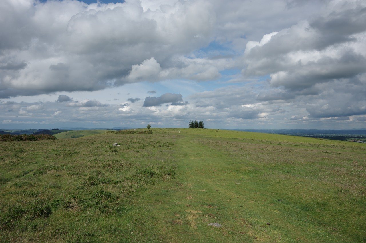
Beyond the combe the path bends back to the right, passing a short distance below the 426-metre summit of the Hergest Ridge before cutting through the middle of the long-abandoned Kington Racecourse. The one-mile track saw it's last horse race in 1880, but its oval outline is still easily visible (picture 29).
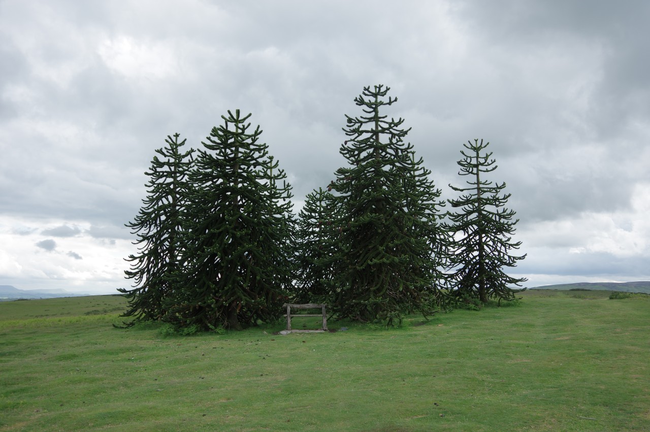
Inside the oval, a stand of Monkey Puzzle Trees by the path is a famous local landmark (picture 30). The trees also mark the beginning of the long eastward descent from the Hergest Ridge to the western Herefordshire town of Kington, still more than three kilometres distant and 240 metres below.
The path steadily descends the open hillside for the first two kilometres (picture 31), eventually reaching Yeld Wood (picture 32) and soon coming to a gate at the end of Ridgebourne Road.
(33) Parish Church of St Mary the Virgin, Kington
(34) The Square, Kington

(35) Kington Market Hall
(36) The Oxford Arms, Kington
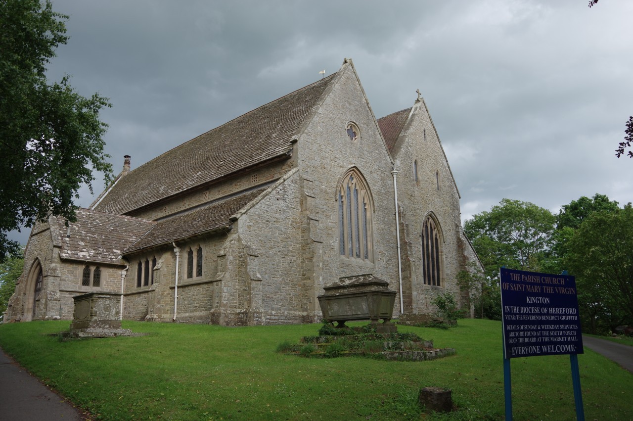
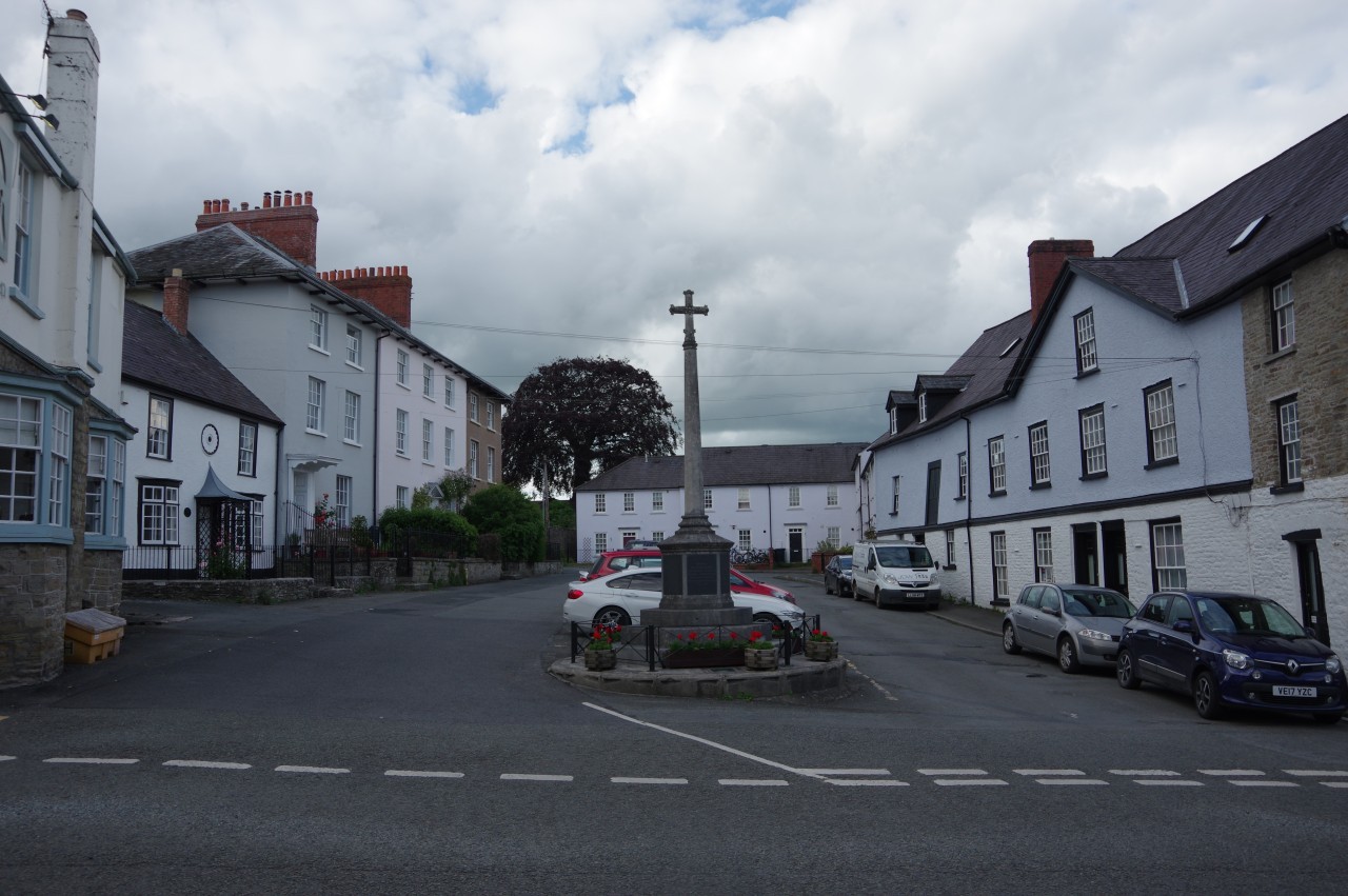
Ridgebourne Road descends past the extensive Hergest Croft Gardens, though I could only peek in from the gate as I was passing after closing time. At the foot of Ridgebourne Road, Offa's Dyke Path aims half-right across Montfort Road, up a short lane and into the churchyard of St Mary's (picture 33). A path around the left-hand side of the large parish church leads to a brick lych gate by Church Road, which is followed downhill and around a bend into the town centre. Next to the Swan Inn, I reached the end of the day's walk, where Offa's Dyke Path turns left into The Square by Kington's War Memorial (picture 34).
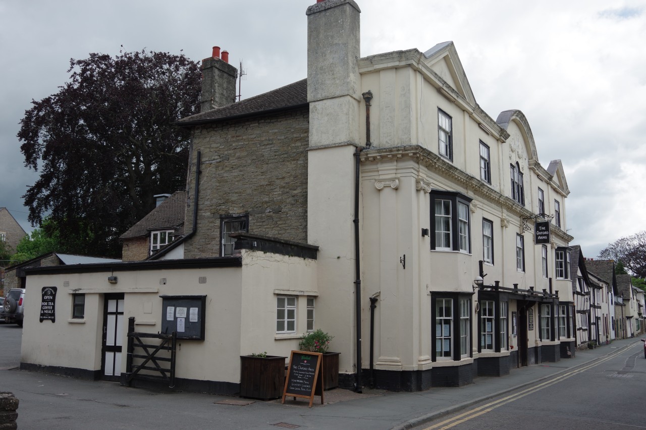
A hundred metres further down Church Road, at it's junction with Mill Street and High Street, is Kington's ornate Market Hall (picture 35), built in 1885 on the site of an inn. Fortunately, there are still plenty of inns in the town, and I turned up the High Street in search of one of them, The Oxford Arms (picture 36), my overnight stop.
Kington is also not short of good walking. The Herefordshire Trail and the Mortimer Trail both stop here and there are many other public rights of way fanning out from the town. The town also hosts two walking festivals each year: three days in April and four days in September. The latter was on when I returned on my southbound leg of Offa's Dyke Path.