THE NORTH DOWNS WAY
Stage 11: Canterbury to Shepherdswell
Monday, August 9th 2010
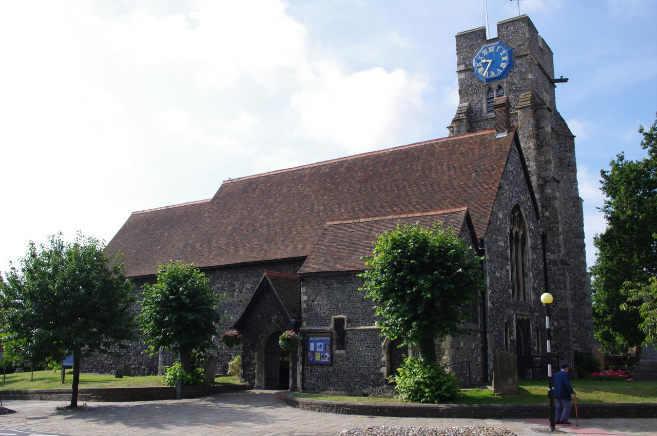
(1) St. Dunstan's Church, Canterbury
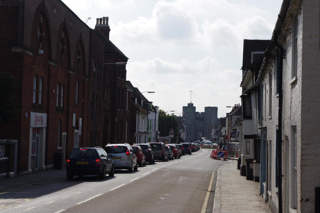
(2) St. Dunstan's Road, Canterbury
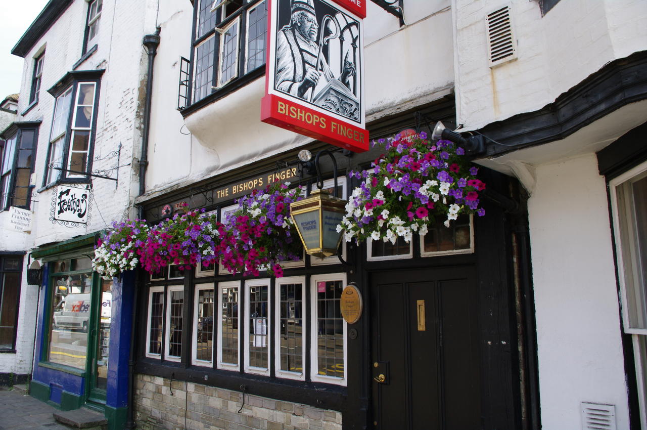
(3) Bishop's Finger pub, Canterbury
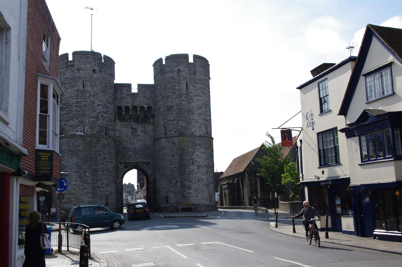
(4) West Gate, Canterbury
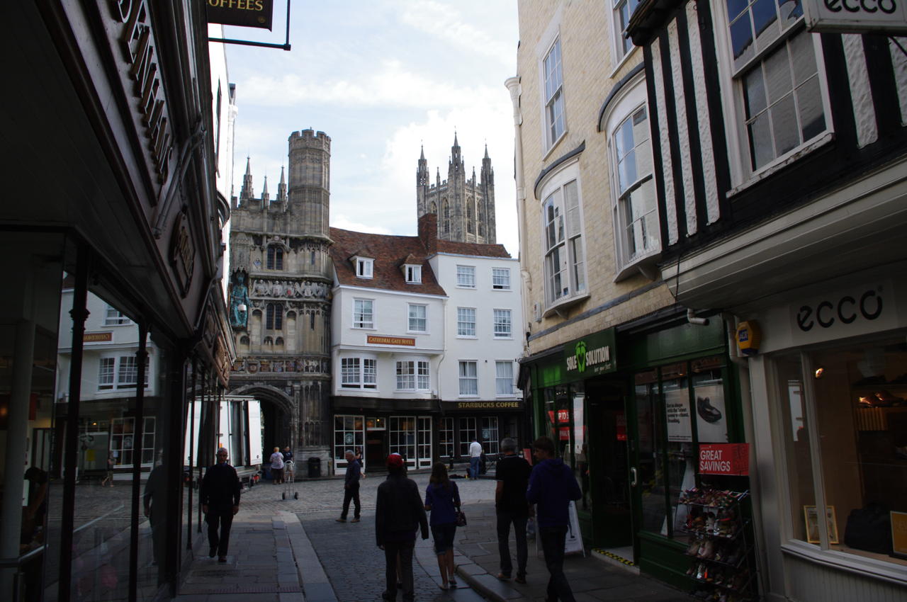
Rejoining the North Downs Way in front of the Victoria Hotel at the corner of Rheims Way and London Road, I followed the route along London Road (which has what must be one of the most confusing numbering schemes of any street in England) to the 10th-century St. Dunstan's Church (picture 1).
At the church, the route turns right onto St. Dunstan's Road (picture 2). The road crosses the railway line near Canterbury West Station, and passes a row of attractive buildings before crossing one branch of the Great Stour River in front of the West Gate, which can be seen in the distance in the picture. Among the buildings where St. Dunstan's Road approaches the West Gate are the Falstaff Hotel, an early 15th century coaching inn where I had stayed on a previous visit to Canterbury, and the Bishop's Finger pub (picture 3). The pub, and the beer of the same name, are named after the sign posts that once directed travellers on the Pilgrims Way towards Canterbury Cathedral.
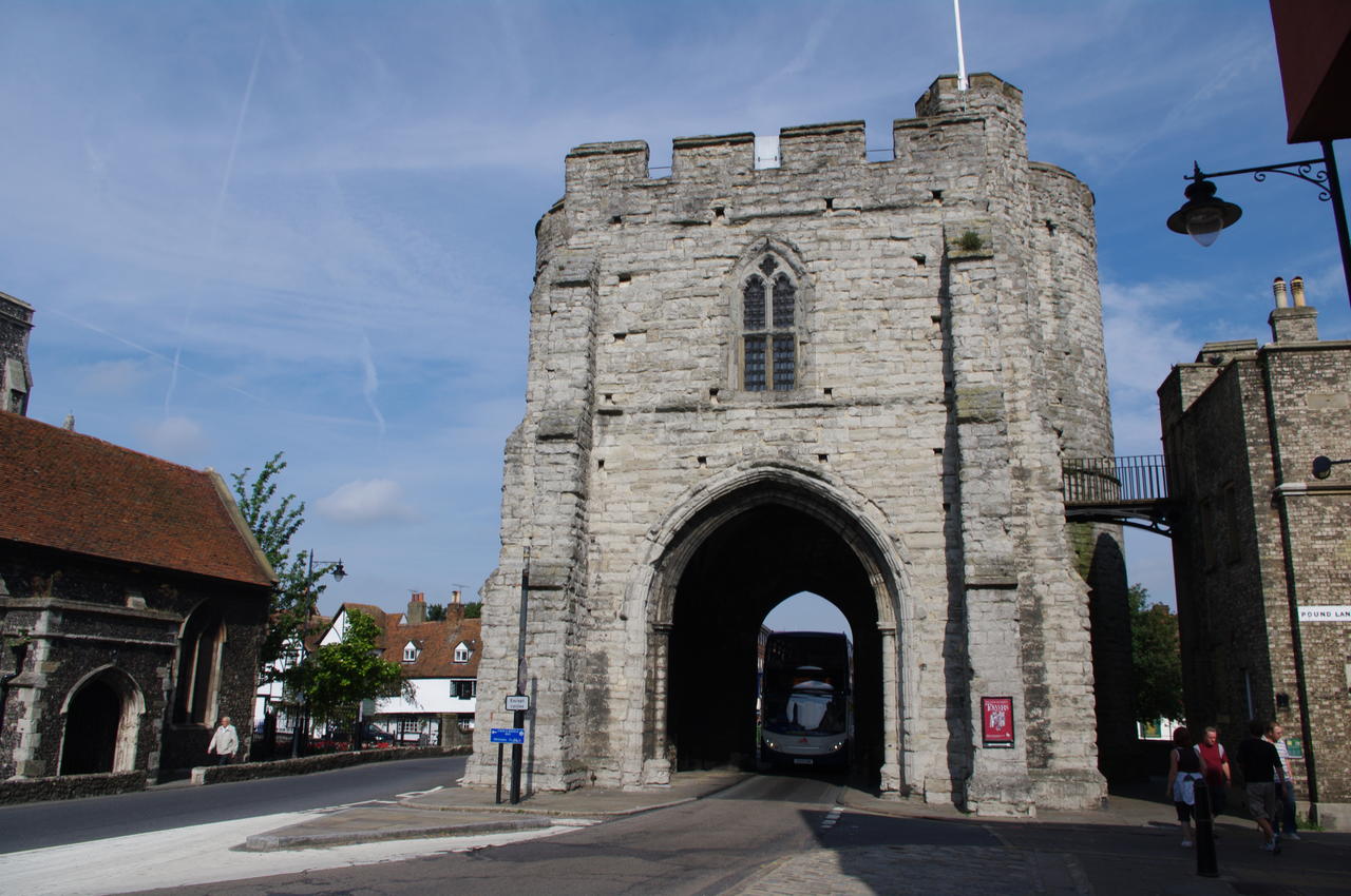
The West Gate (picture 4) which stands at the foot of Canterbury's High Street, is the only one of Canterbury's city gates that still stands, though the part of the city wall that once adjoined the gate has long since disappeared.
(5) Bus driving under the West Gate
(6) West Gate Gardens
(7) Canterbury High Street
(8) Hobgoblin pub, Canterbury
One lane of traffic still passes under the West Gate's arch -- the city's double-decker buses can just fit through (picture 5), though the margin for error is very narrow.
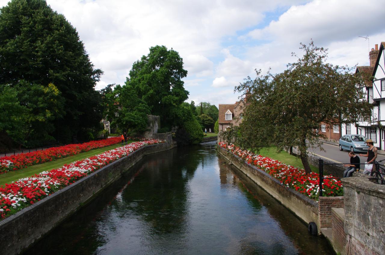
A short diversion off the route to the right of the West Gate are the pretty West Gate Gardens which occupy one bank of the Great Stour River (picture 6). The Gardens, which contain a couple of historic buildings were partially flooded when I had passed this way in late February, but today the level of the river was considerably lower and the gardens were in full flower.
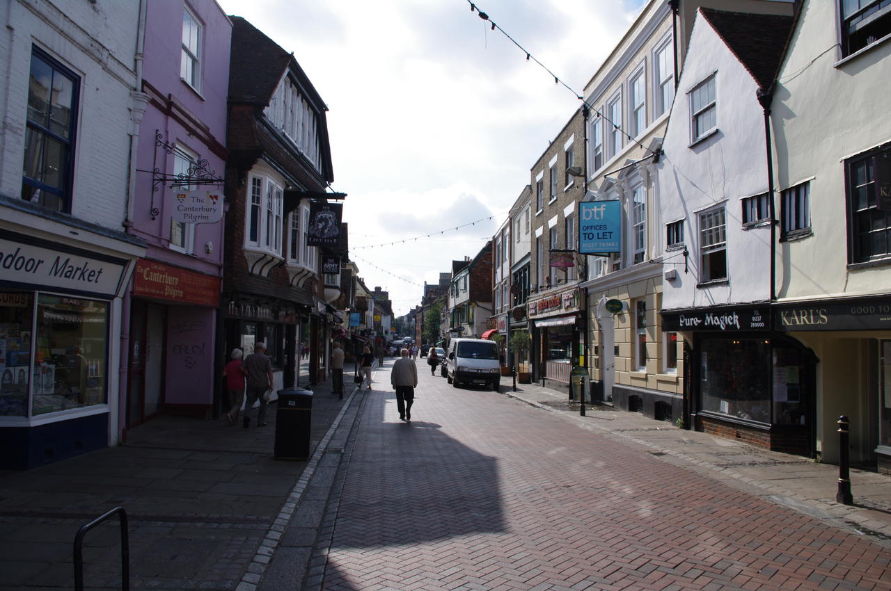
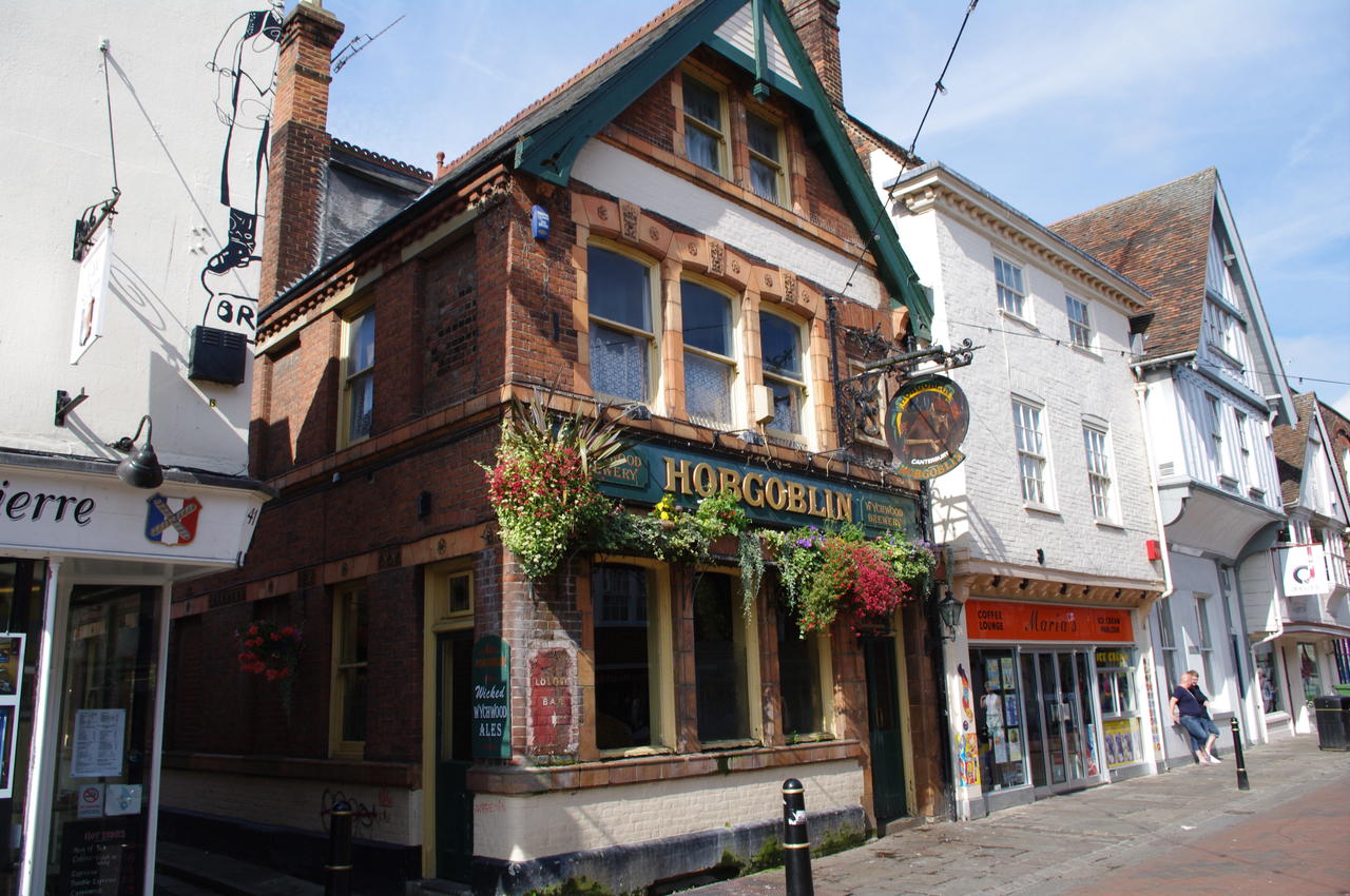
Back on the trail and continuing ahead through the West Gate, the North Downs Way follows the High Street (picture 7), passing several nice pubs, including the Hobgoblin (picture 8), a favourite haunt of Canterbury's student population.
(9) Christ Church Gate
(10) Canterbury Cathedral
(11) City Wall at Burgate
(12) Tower
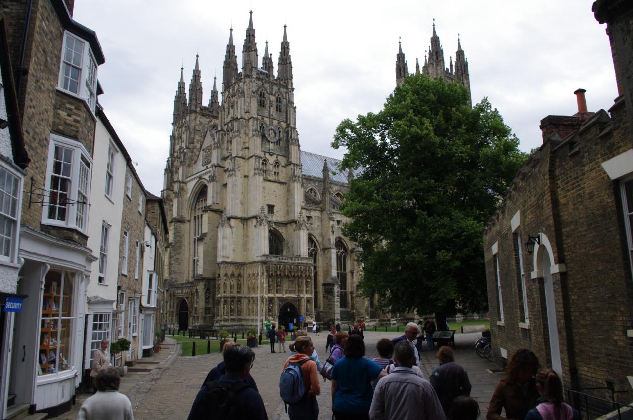
The High Street crosses the other branch of the Great Stour next to the Weaver's House, and a little further on the North Downs Way turns left into Mercury Lane, where it approaches Christ Church Gate (picture 9) -- the main gate of the Canterbury Cathedral precinct. You can also see the top of the Cathedral's tallest tower over the tops of the buildings next to the gate.
The North Downs Way turns right in front of the cathedral gate rather than entering the grounds of the cathedral, but if you have time it's certainly worth making a diversion into the cathedral precincts. As well as the Cathedral itself (picture 10), the grounds are also home to a number of other ancient buildings and to the ruins of a monastery.
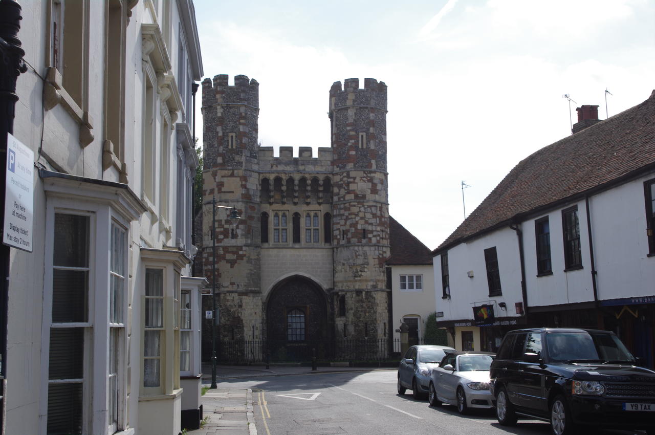
The route of the North Downs Way follows Burgate parallel to the cathedral grounds, passing through a gap in the old city wall (picture 11) and crossing the busy ring road, continuing straight ahead on Church Street until it reaches a building with two towers (picture 12), which bears some similarity to the West Gate seen earlier in the walk.
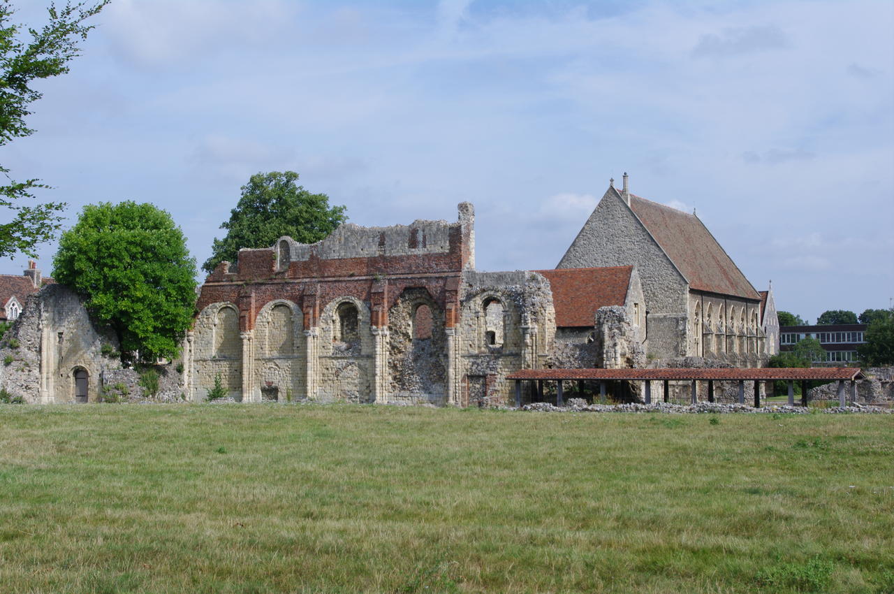
(13) St. Augustine's Abbey
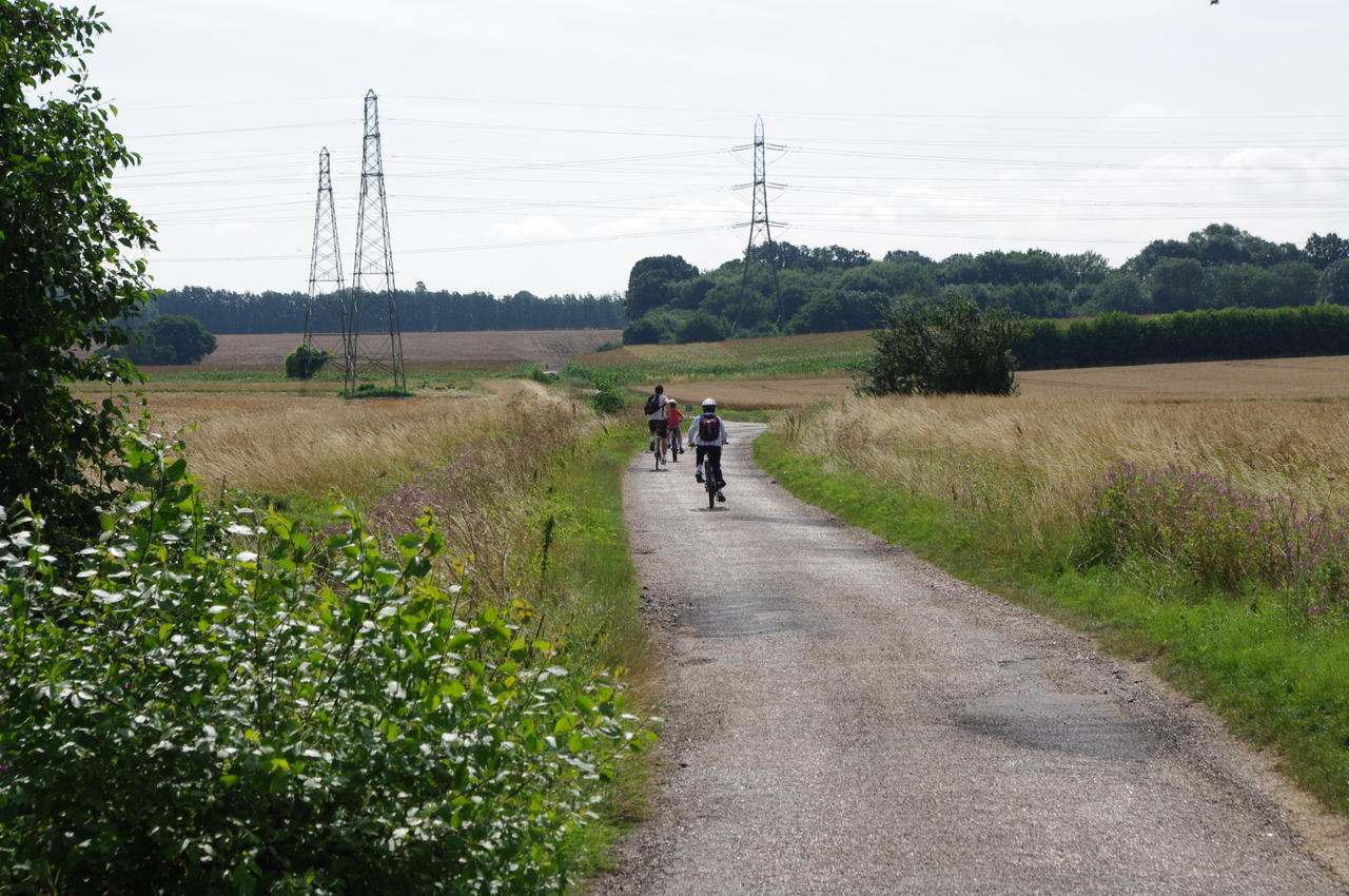
(14) Cyclists near Barton Farm
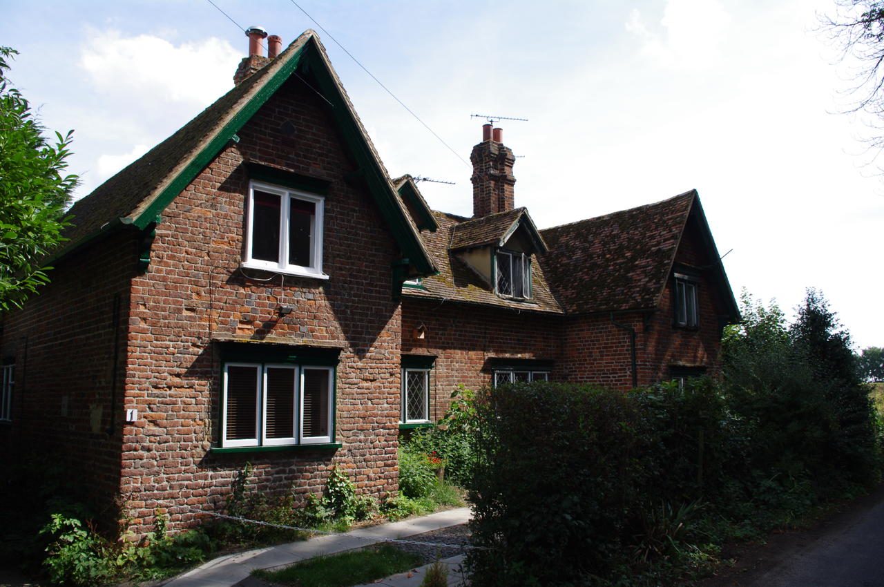
(15) Hode Farm Cottage
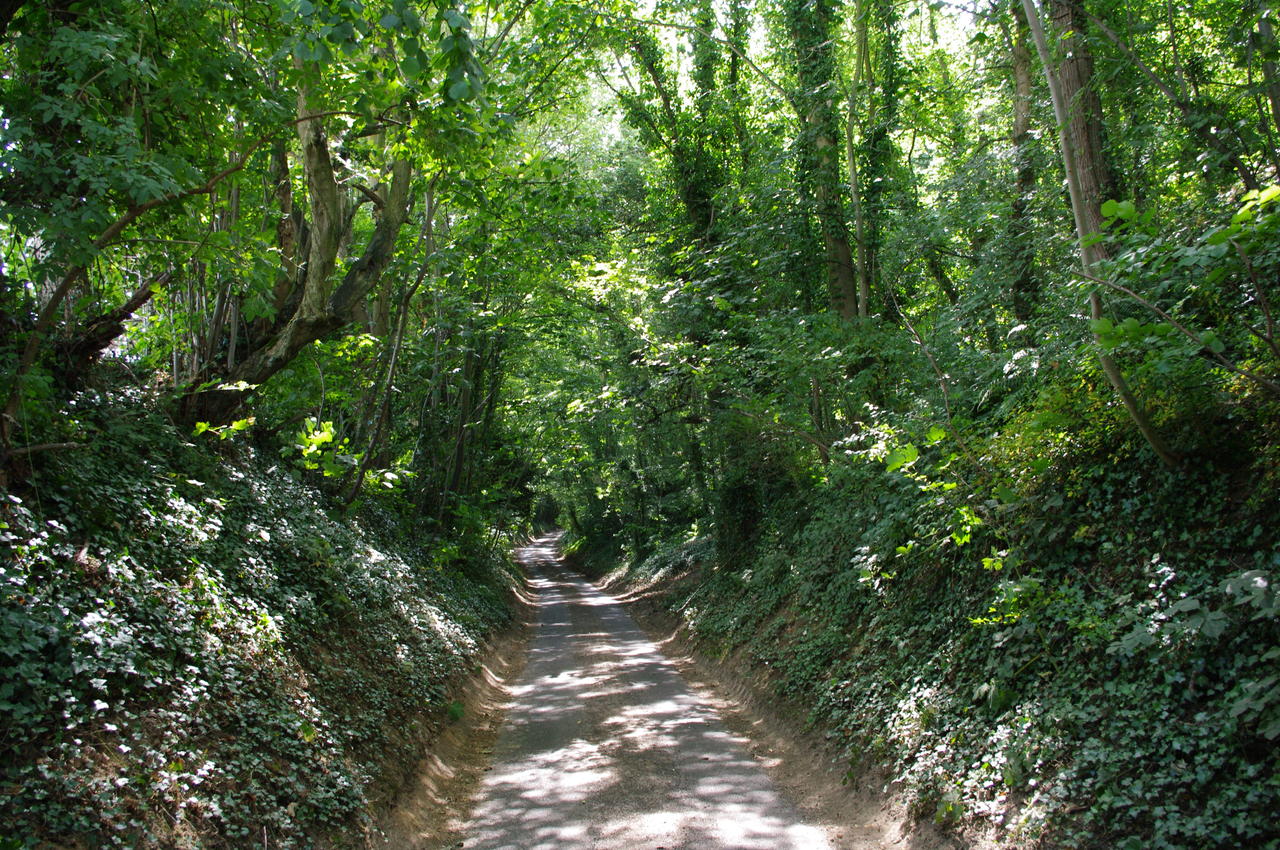
(16) Hode Lane
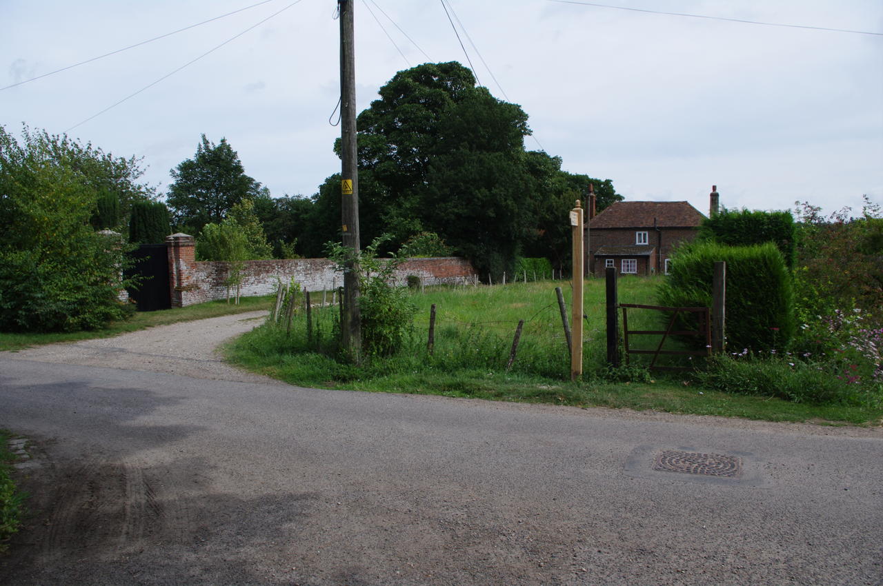
Here the route turns right and then takes the next left, following the road with the ruins of St Augustine's Abbey on the left (picture 13). Beyond the Abbey, the route turns right down Spring Lane, then right again onto Pilgrims Way, which it soon leaves to the left on a footpath that runs between a metal fence and some trees. At the end of the footpath the route rejoins Pilgrims Way, turning right over a railway bridge then immediately left and continuing straight ahead through a quiet residential area.
At the end of the residential street, the road narrows to a track with hedges on either side. After passing through the small Barton Farm Business Park, the track widens out and passes through several fields and under a couple of sets of crackling high-voltage power lines. Here I was passed by three groups of cyclists in fairly quick succession (picture 14).
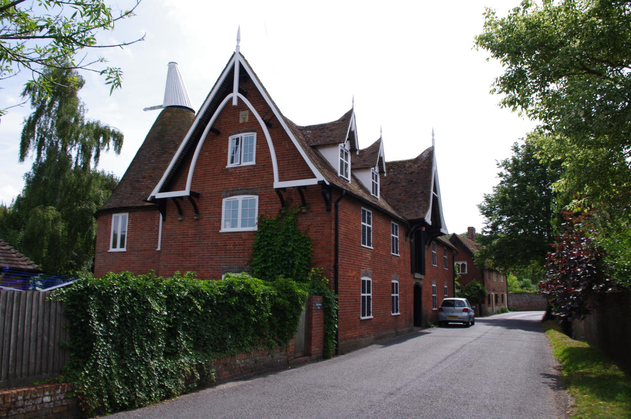
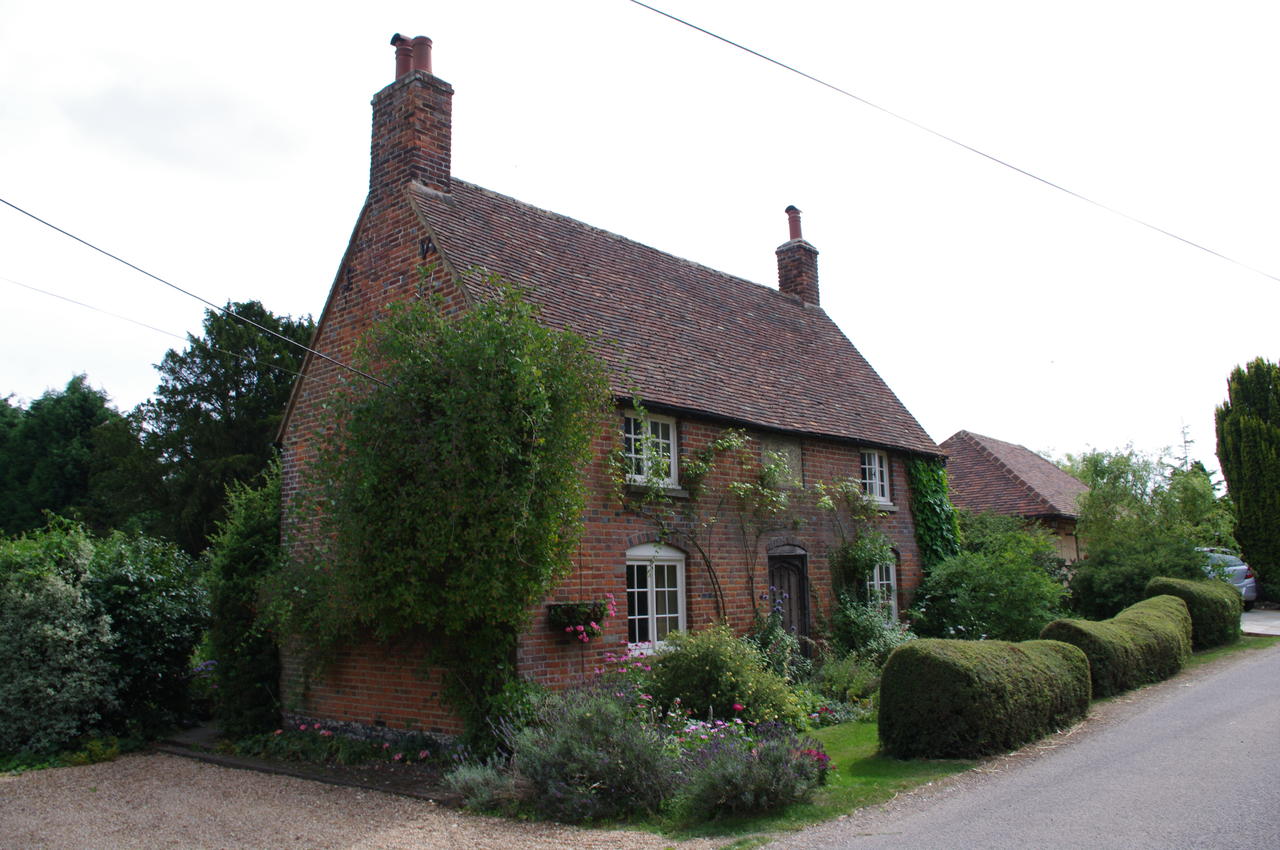
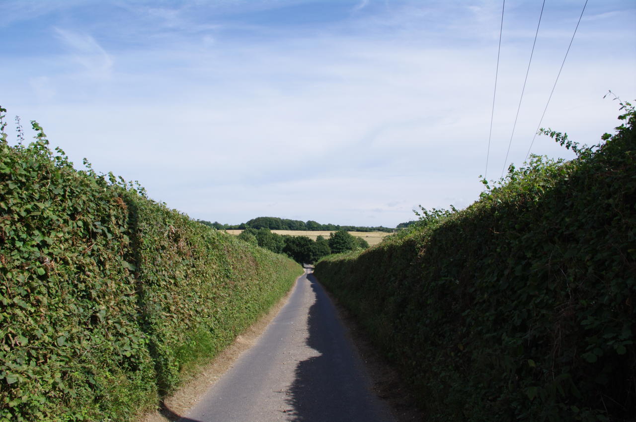
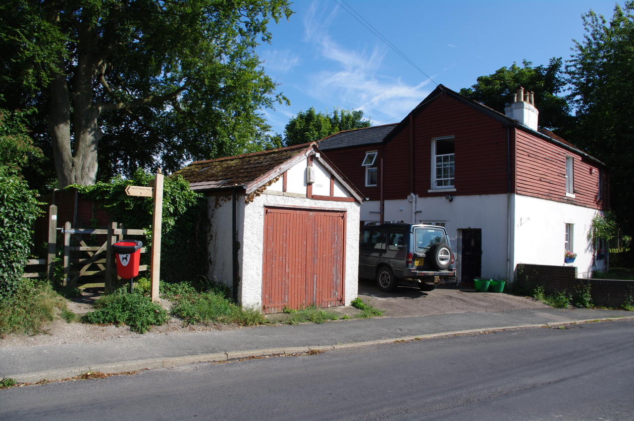
After the second set of power lines, the track forks and the route follows the left branch for a short distance through a small apple orchard before joining a tarmac road. The road soon reaches Hode Farm, where it passes a large thatched barn, an oast house and an attractive red brick cottage (picture 15).
The road continues along Hode Lane through a shady wooded area (picture 16), before merging into another, busier road, where there is no footpath and one must be very careful of the traffic until reaching a roundabout after about 100 metres.
(17) Patrixbourne Oast
(18) St. Mary's Church, Patrixbourne
(19) Path leaves the road near Patrixbourne
(20) The Red Lion Inn, Bridge
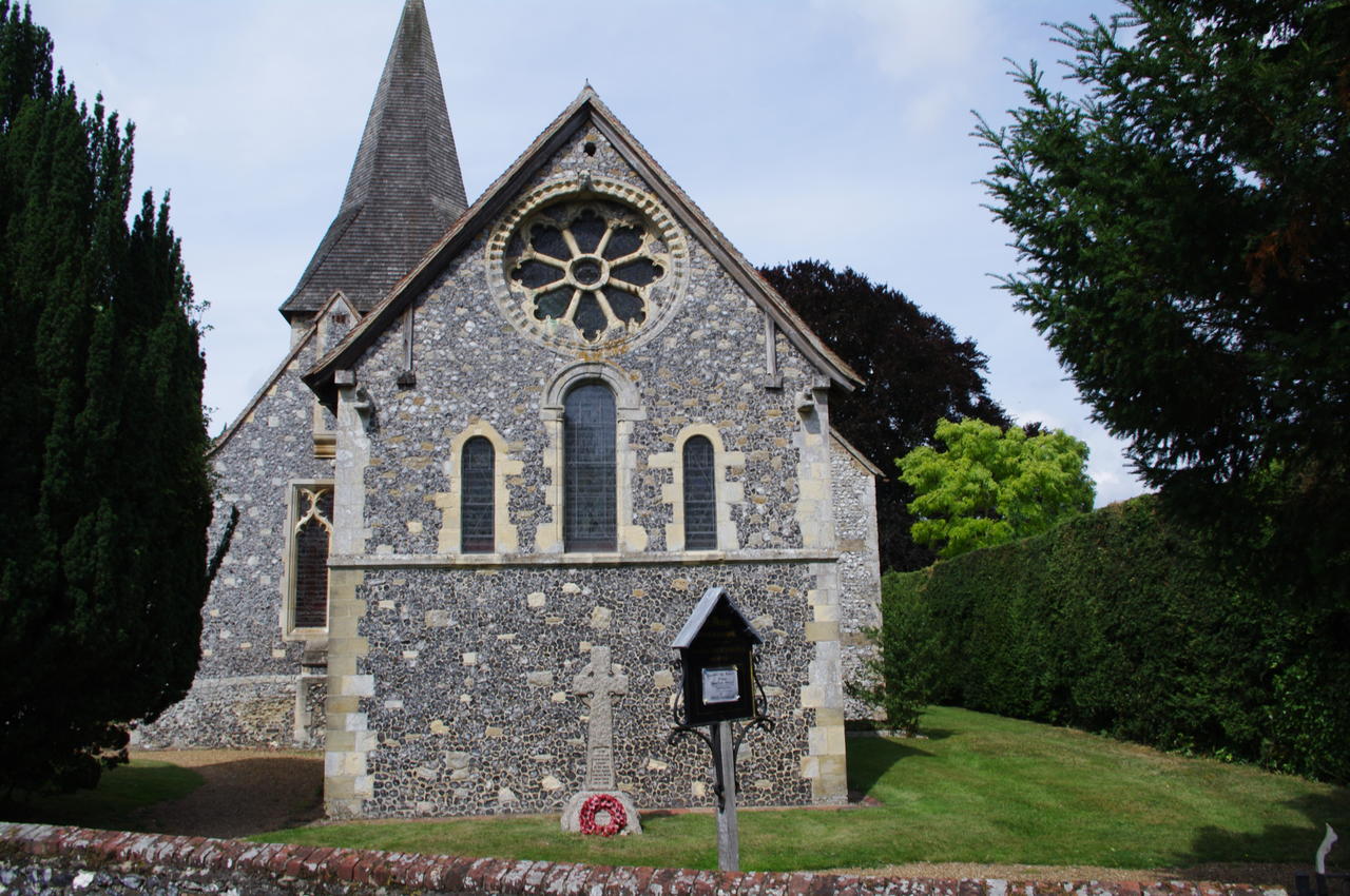
At the roundabout, a North Downs Way sign points towards the pretty village of Patrixbourne, where again one must be wary of traffic as there are no footpaths due to the buildings crowding very close to the narrow road (picture 17). After following the stone wall of the Vicarage, the route turns right, passing St Mary's Church (picture 18).
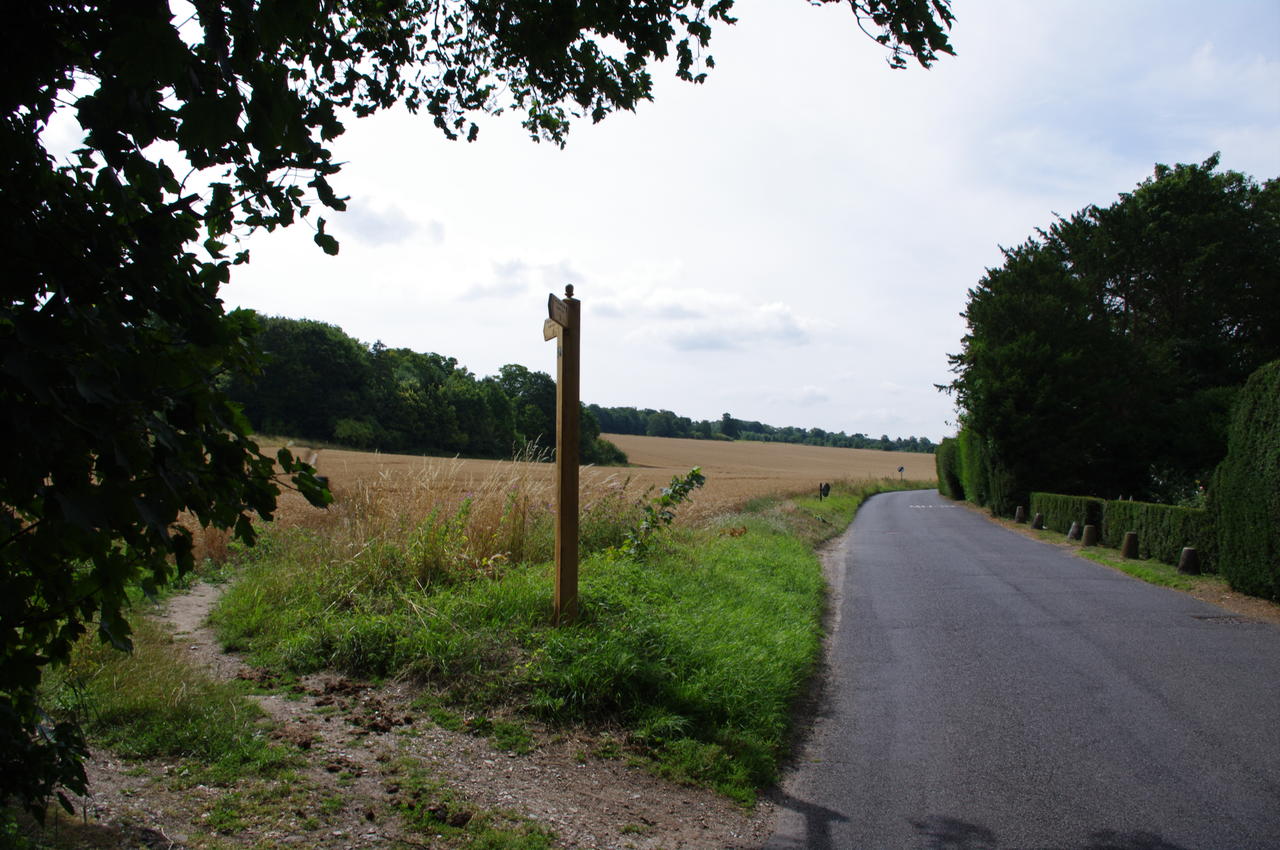
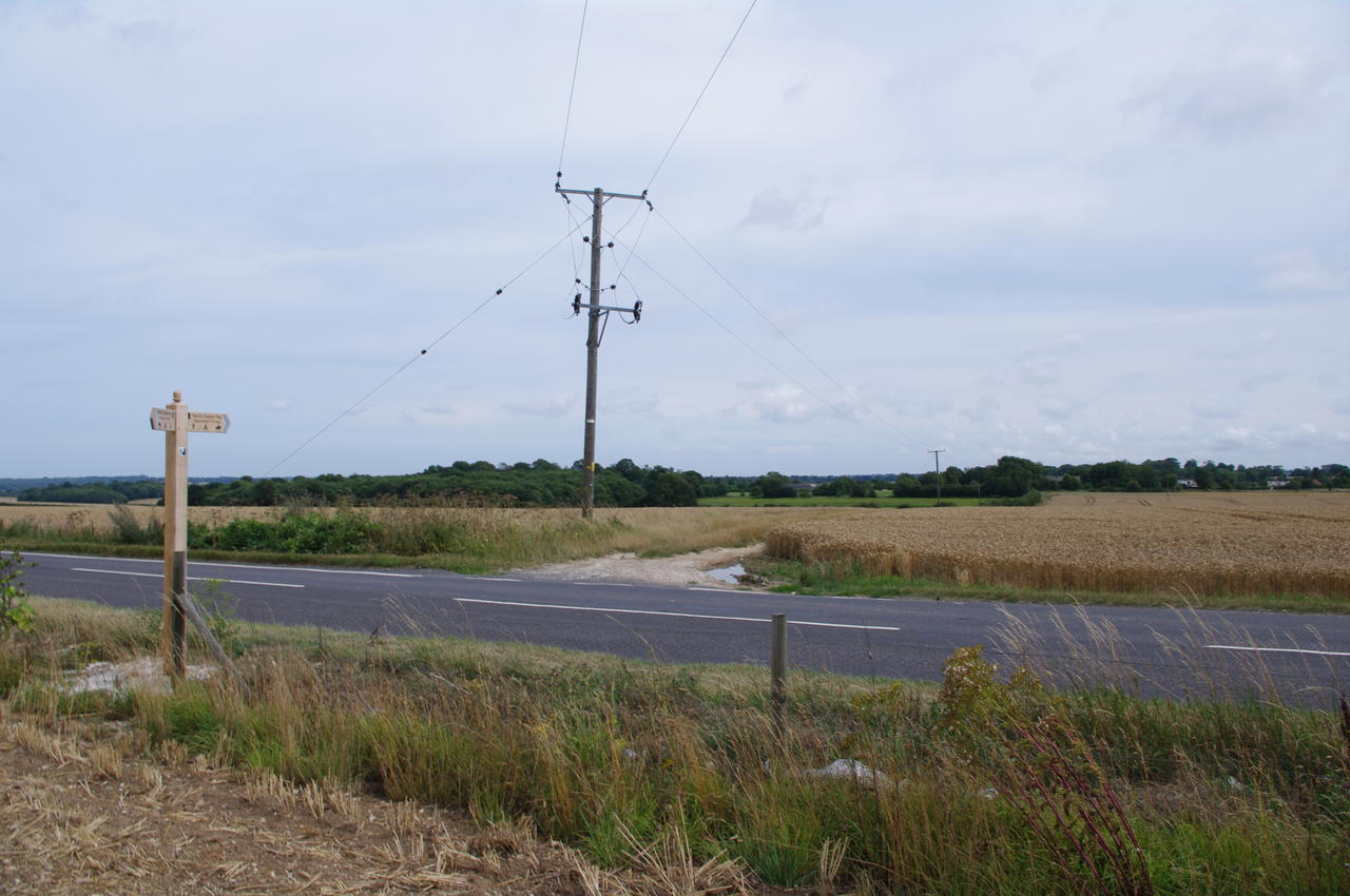
Leaving the village, a fingerpost indicates that the path leaves the road to the left and climbs across a wheat field (picture 19). Here I left the trail temporarily and continued along the road for about a quarter of an hour into the nearby town of Bridge.
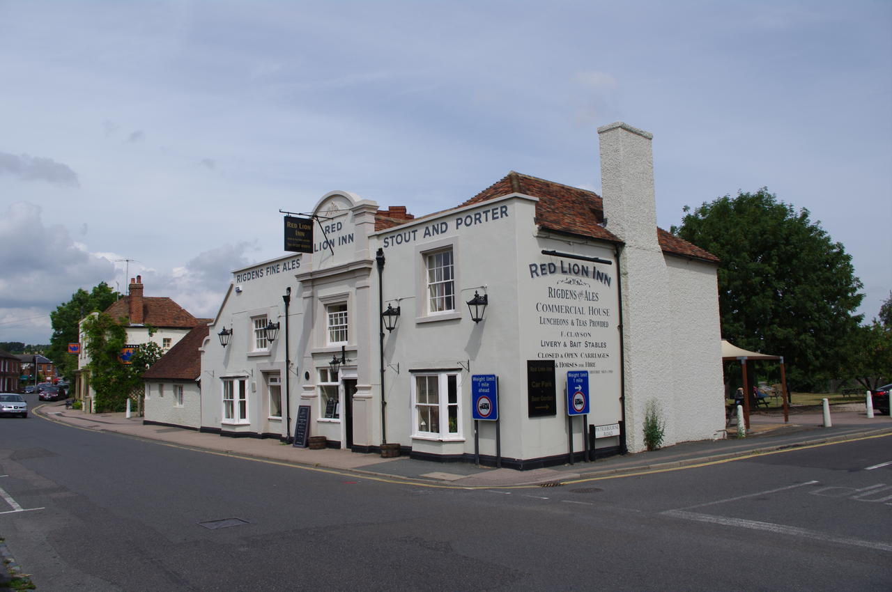
In the town I quickly surveyed the four pubs on the High Street, before settling on the Red Lion Inn (picture 20), where I had a very pleasant lunch and a good pint of Spitfire, before retracing my steps to the point where I had left the North Downs Way.
(21) Path climbs above Bridge
(22) Trail parallels the A2
(23) Path crosses ploughed field
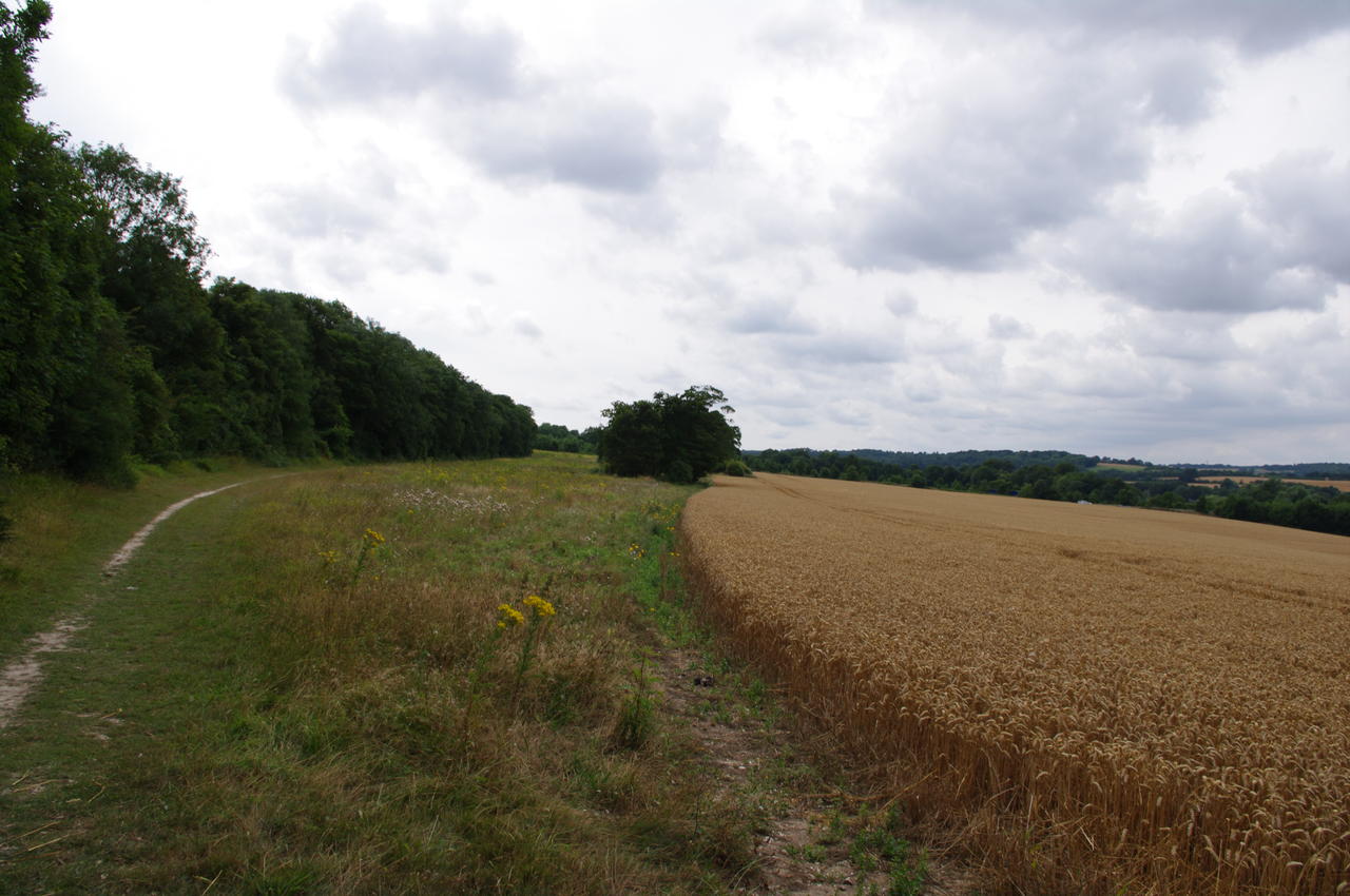
(24) Large field with obvious path
Leaving the road, the trail crosses the wheat field diagonally, then climbs gradually along the high edge of the fields with trees on the left and views to Bridge and beyond on the right (picture 21). When the trail levels out, a milestone in the edge of the foliage indicates 116 miles covered since Farnham.
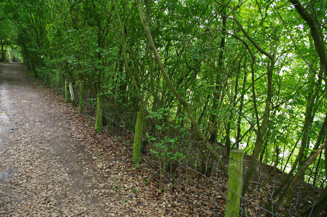
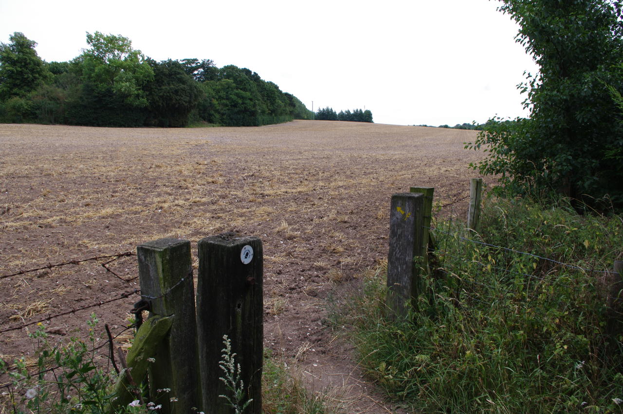
Gradually the path curves to the left, soon following a fenced path through the trees with the A2 running parallel to the path down to the right, though the road is mostly hidden from view by the trees (picture 22). After around 500 metres the trail crosses a road next to an overpass and continues beside the A2 for another hundred metres before bearing left into a field (picture 23). The field had been recently ploughed, completely obliterating the well-worn path, which would cross the field diagonally towards the trees in the centre of the picture.
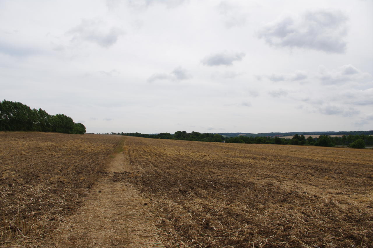
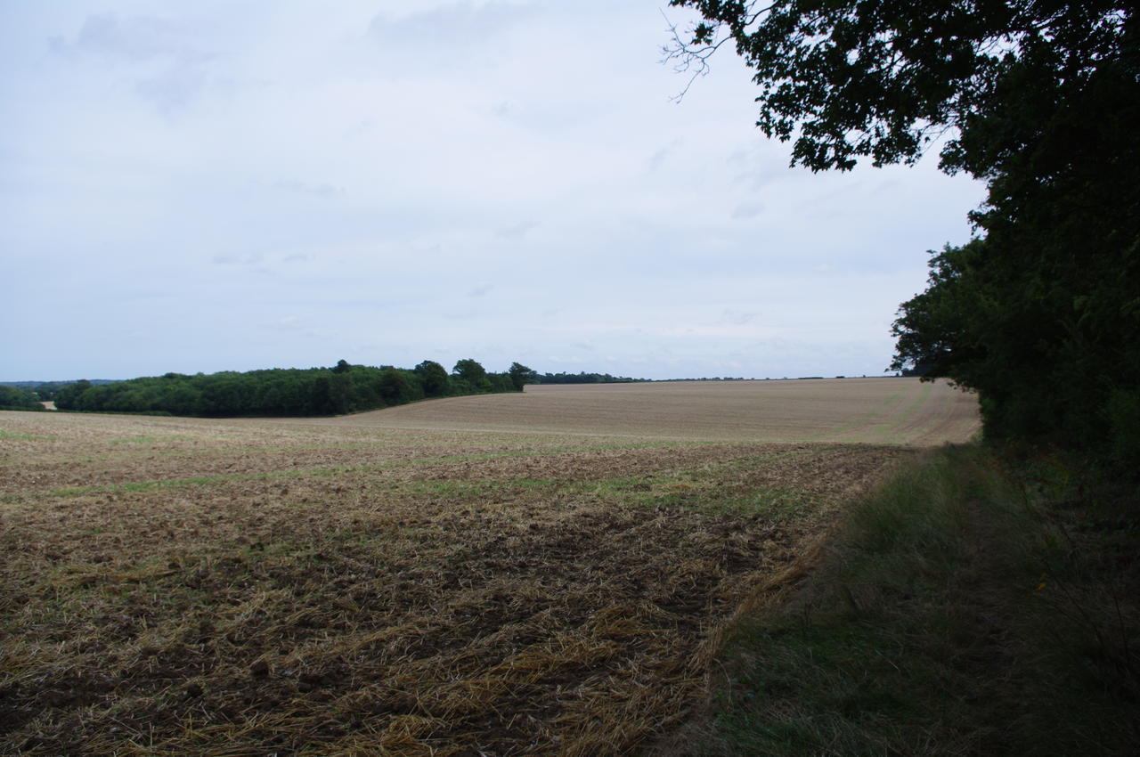
Following the field edge next to the trees, the path crosses a road and enters another field (picture 24), the first of three huge fields that occupy the next three kilometres of the trail along an area known as Barham Downs. These fields had all been ploughed recently (in the third, harvesting was still being completed), but the farmers had managed to preserve the well-worn track along the middle of each field.
(25) Farmhouse
(26) Path towards Womenswold
(27) Cottages in Womenswold
(28) Womenswold
In the third field, the trail gradually bears to the left edge of the field with a red brick farmhouse on the right (picture 25). At the end of the field the path goes to the left to crosses a gravel drive and follow a footpath to the right of a hedge and past a barn, joining an unsealed track. The route soon leaves the track and cuts across the corner of another large field towards a sealed road. At the road's edge a fingerpost points across the road and along another unsealed track (picture 26) towards the quiet village of Womenswold.
On reaching the village the path joins a sealed road, passing several pretty cottages (picture 27) before arriving at a junction. Here the route turns left then almost immediately turns right following a wall past another cottage (picture 28).
(29) Large field near Womenswold
(30) Woolage Village
(31) Misleading sign beyond Woolage Village
(32) Misleading sign beyond Woolage Village
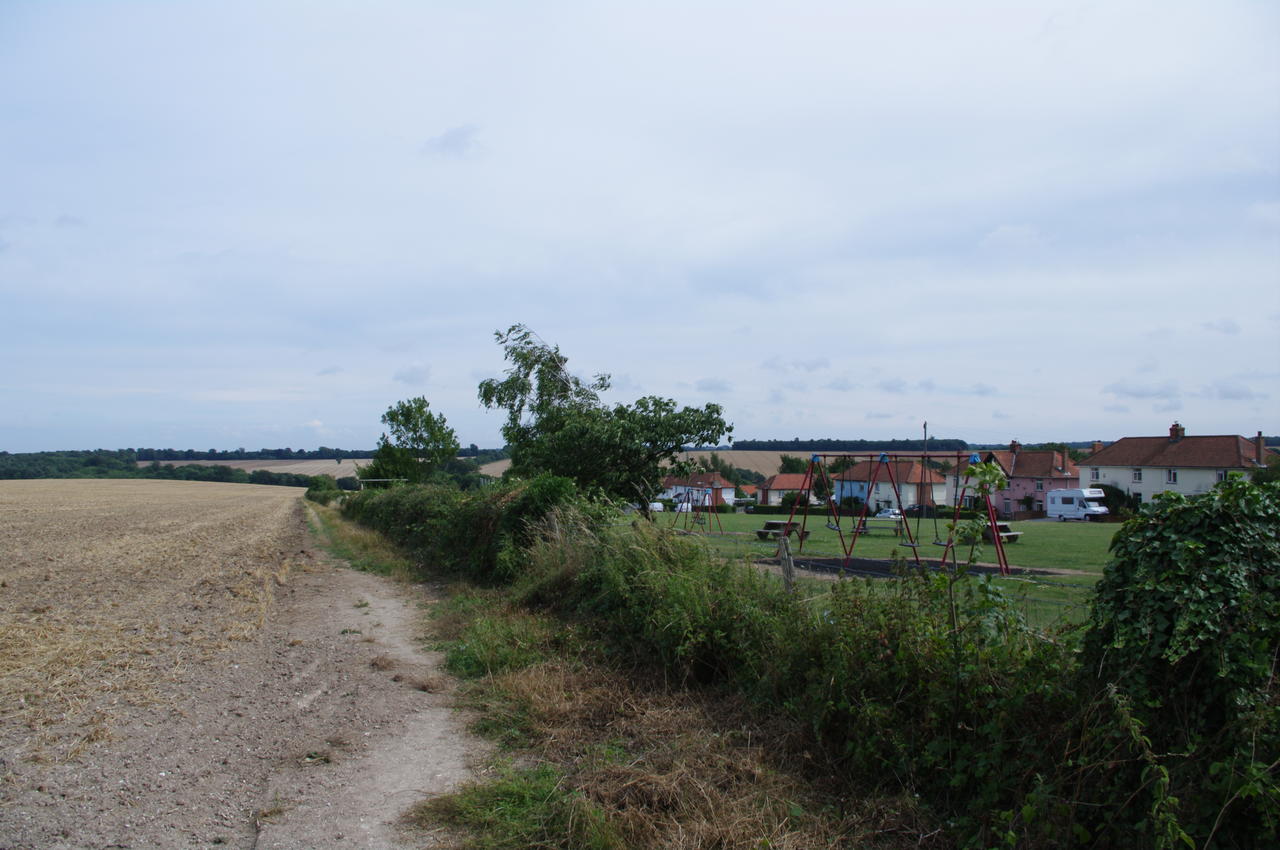
The route heads out along the right edge of another large, undulating field (picture 29) for about 500 metres to cross a road and continues through a brief section of woods before turning right onto another road that soon leads into Woolage Village. At the village the route leaves the road and follows a field edge next to the village playground with a row of plain-looking houses across the road on the other side of the playground (picture 30). Rather pointlessly, the route crosses two stiles to cut across the far corner of the playground, then resumes following the field edge downhill beside the road.
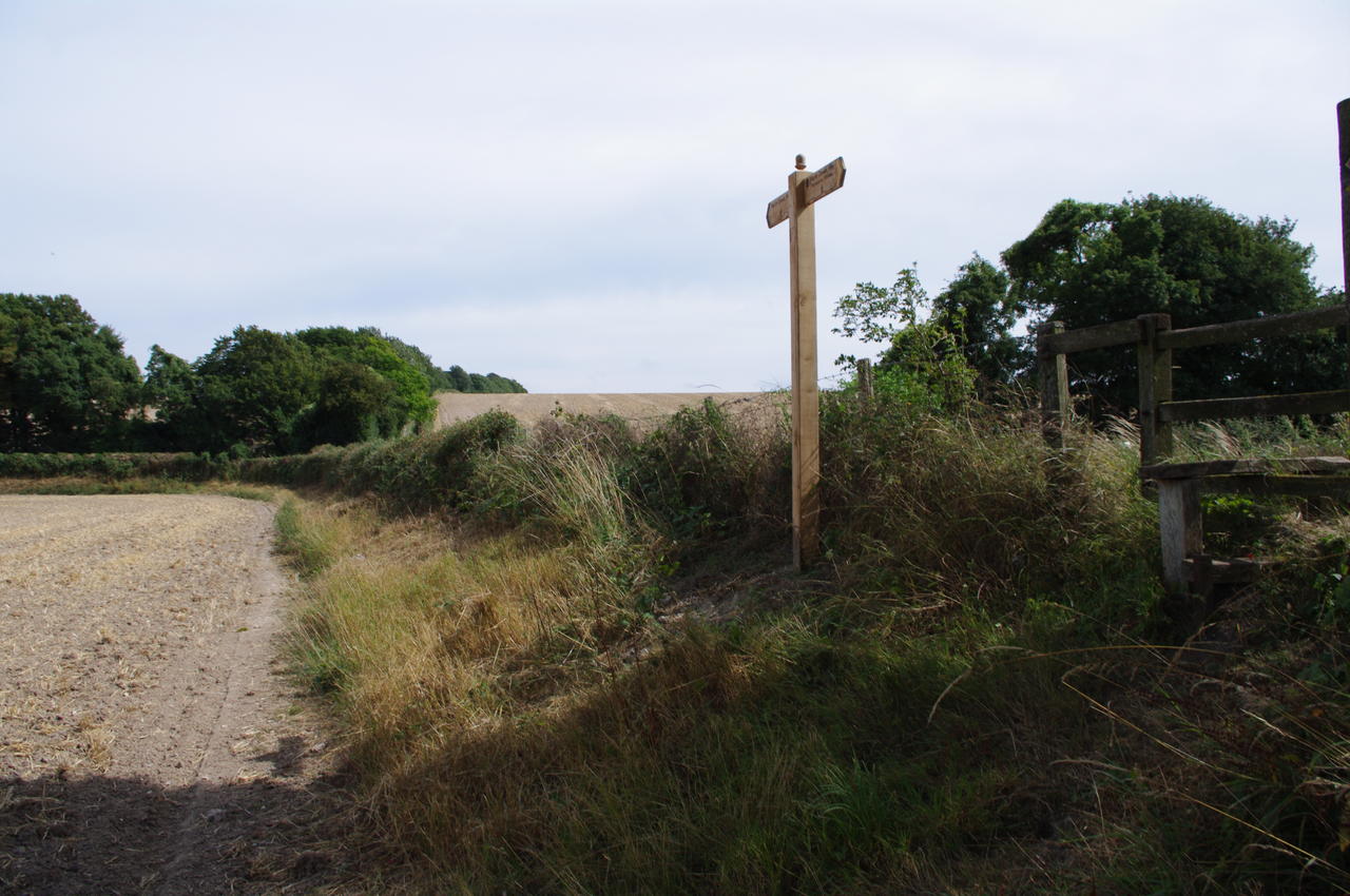
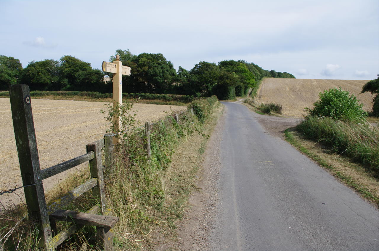
After about 500 metres, the route crosses a stile in the field edge (picture 31) and joins the road (picture 32). Unfortunately, the signage here is quite misleading and a well-worn path continues to the end of the field and then to the left along the next edge of the field for quite some distance, indicating that many walkers have been fooled, including yours truly.
(33) Long Lane
(34) East Kent Railway
(35) Horse paddocks near Shepherdswell
(36) NDW leaves Shepherdswell
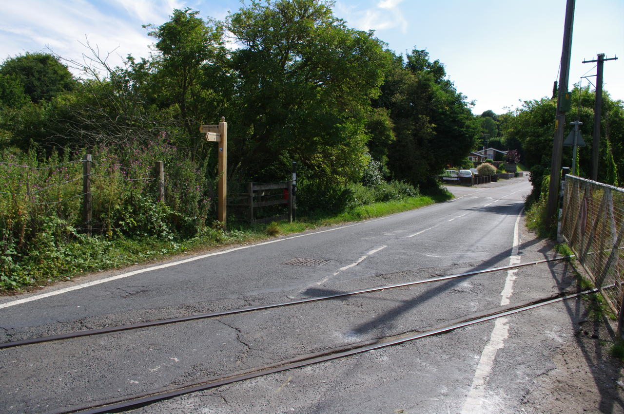
When the road curves to the left around the end of the field, the route of the North Downs Way instead continues straight ahead into the trees on a byway that first climbs and then descends again. After about a kilometre the byway reaches a paved road where it turns left and crosses a bridge over the Canterbury to Dover railway line then turns immediately right and begins to descend on the hedge-lined Long Lane (picture 33). At the bottom of the hill, the route turns right, leaving the lane and soon passes through a gate into a field where cattle were grazing. The route skirts along the edge of the field to a gate on the other side, then turns right on the road, crosses the line of the East Kent Light Railway (picture 34) and then follows a fingerpost to the left into a park.
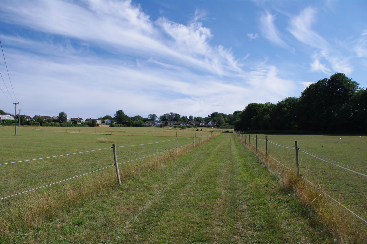
Following the obvious path through the park, the trail then joins a shady gravel track and soon crosses a stile into a field. The route continues downhill between two electric fences that separate horse paddocks (picture 35) with the houses of part of Shepherdswell uphill to the left. At the bottom of the hill, the path crosses another stile and heads diagonally to the left across the next paddock, towards a telegraph pole, after which it passes through another gate and follows the gravelly drive uphill past a stable, then through a kissing gate and onto a residential lane.
Where the lane emerges onto another road, the North Downs Way continues through a wooden gate just across the road (picture 36), but here I left the trail for the day, instead heading to the right past the church and down Church Hill.
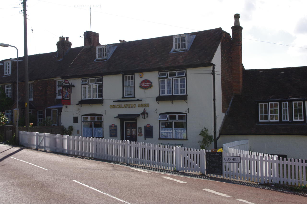
(37) Bricklayers Arms, Shepherdswell
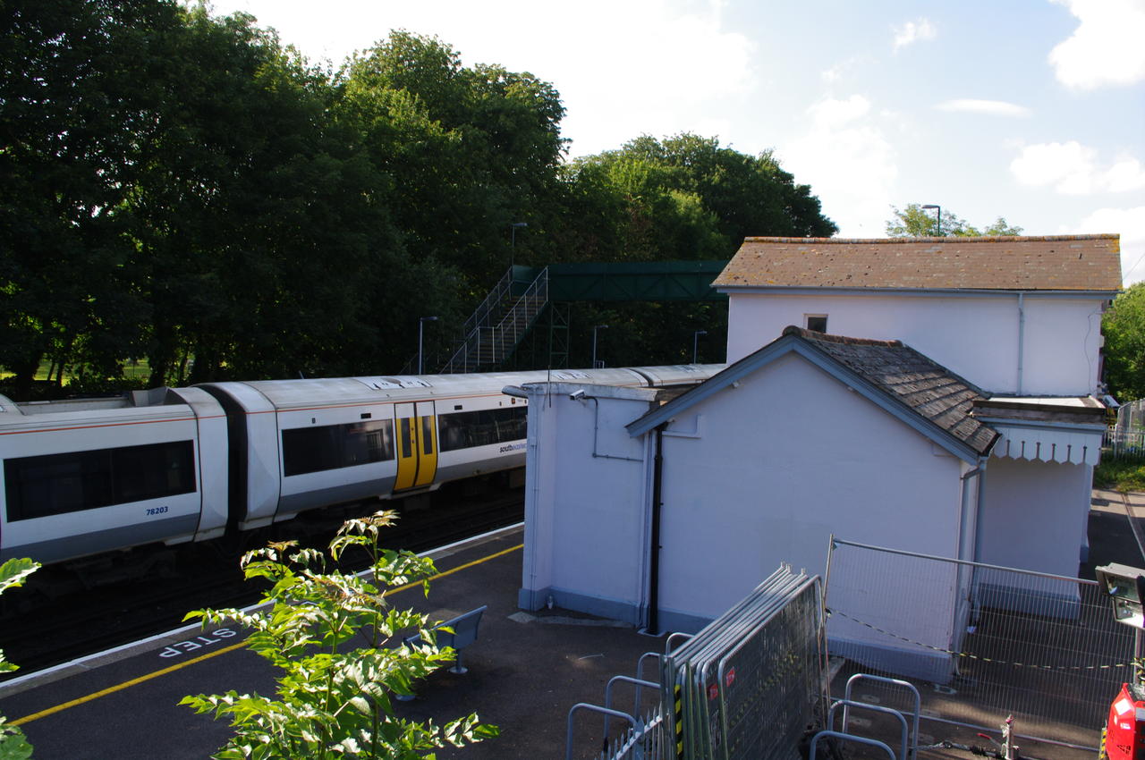
(38) Shepherdswell Station
At the bottom of the hill, there is a Co-op store directly ahead and the Bricklayers Arms is a short distance to the left (picture 38). The railway station (picture 39) is reached by a footpath that can be found a short distance to the right.
After enjoying a pint of Shepherd Neame's Master Brew in the Bricklayer's Arms, I caught the train for the brief journey back to Canterbury, having covered another 16.4km on the North Downs Way.