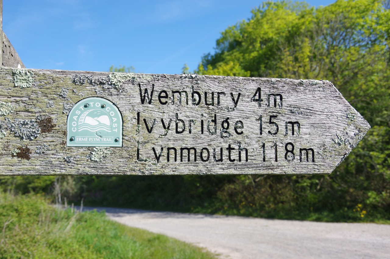
Erme-Plym Trail
Established in 2005, the Erme-Plym Trail is a thirty-three kilometre path linking the city of Plymouth with the South Devon coast at Wembury Beach and with the town of Ivybridge on the southern edge of Dartmoor. The Trail provides the first part of the 188-kilometre Devon Coast to Coast route, which continues northward beyond Ivybridge on the Two Moors Way, crossing Dartmoor, mid-Devon and Exmoor to reach the Bristol Channel at Lynmouth.
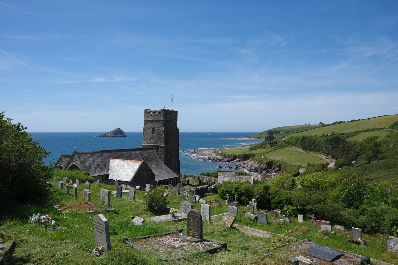
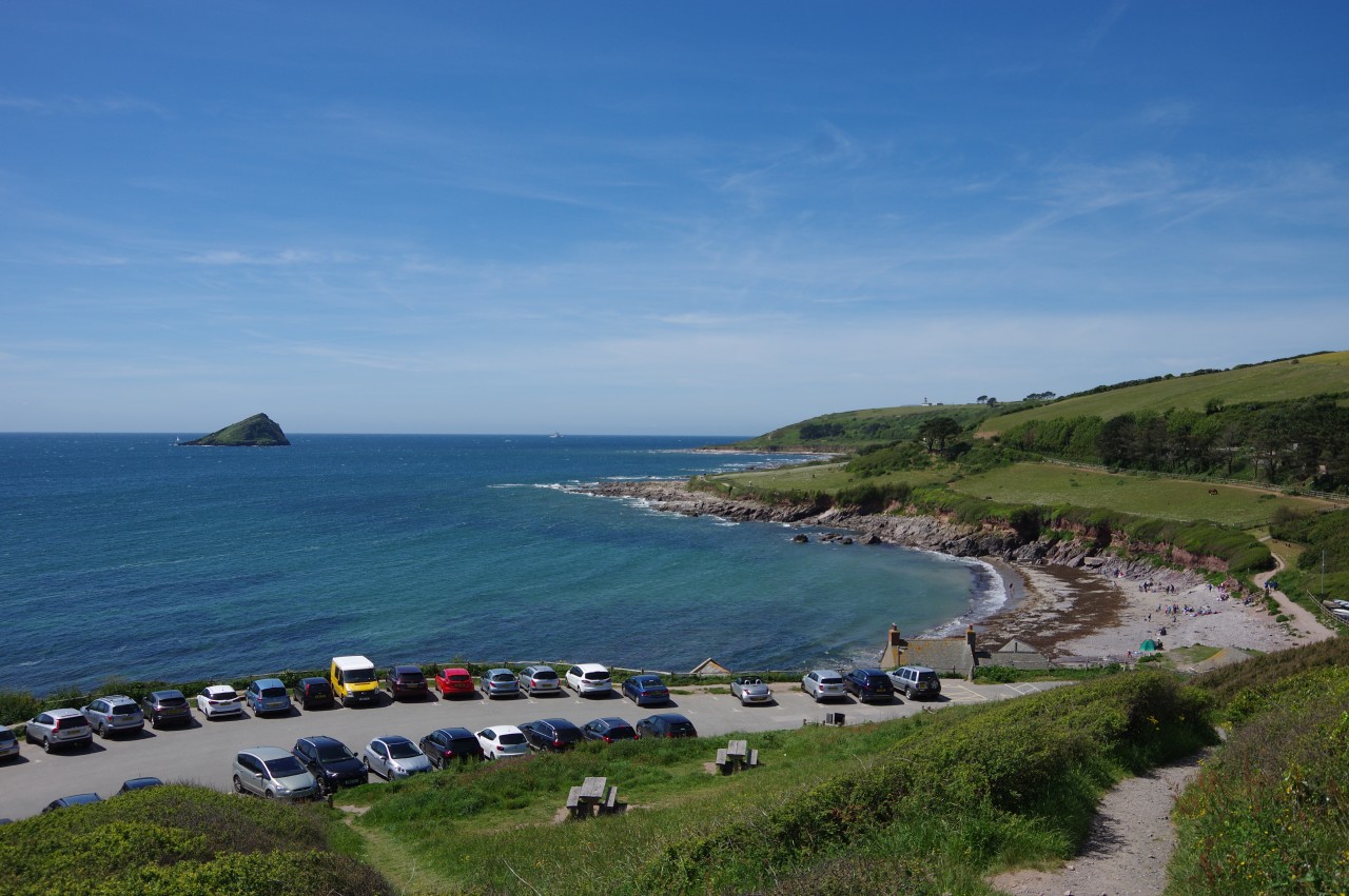
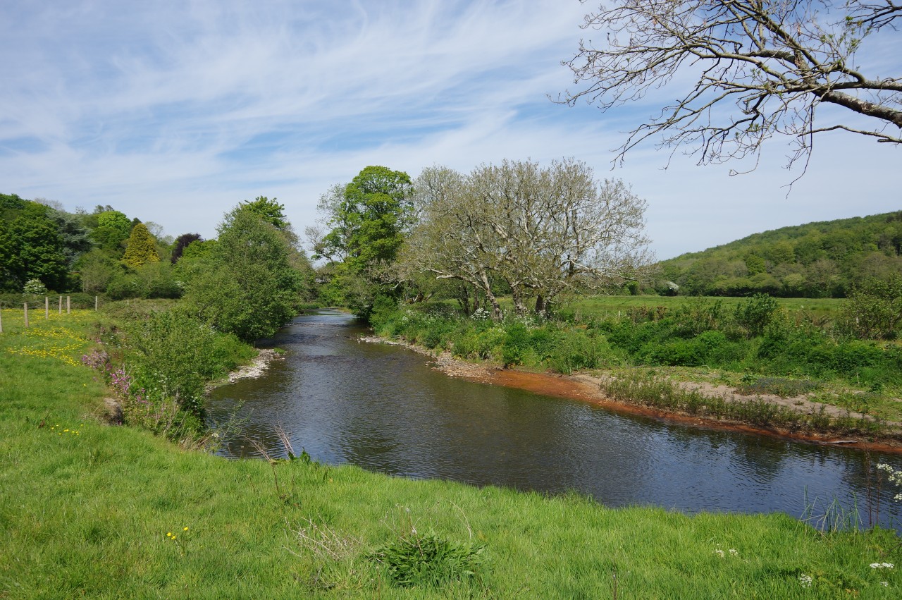
From Hooe Lake, a backwater of the River Plym, the Erme-Plym Trail takes a surprisingly green route through Plymouth's south-eastern suburbs before crossing farmland towards the village of Wembury. Just north of the village, the path divides. The shorter branch skirts around the western side of Wembury and runs down the peaceful Churchwood Valley to Wembury Beach. The (much) longer branch heads north across rural countryside and through the villages of Brixton and Yealmpton to meet the River Erme at Sequer's Bridge before continuing upstream through Ermington and onward to the end of the trail (and the start of the Two Moors Way) in Ivybridge. Most of the Erme-Plym Trail is on tranquil woodland and riverside paths, in rolling fields, and on quiet country lanes, with only a small fraction of the route using busier roads.
If pressed for time, walkers aiming to complete the coast to coast route could begin at Wembury Beach and skip the first seven kilometres from Plymouth, leaving them with a twenty-six kilometre first day's walk from Wembury to Ivybridge. Those with more time, less energy, or a compulsion to stop at every pub along the way (an affliction that I share) can split the Erme-Plym Trail over two days, breaking the walk at Brixton or Yealmpton.
Buses from Plymouth's city centre go within 400 metres of the start of the walk at Hooe Lake and within 600 metres of Wembury Beach. Alternatively, Hooe Lake can be reached on foot from Plymouth's city centre by joining the South West Coast Path at the Mayflower Steps and following the Coast Path signs for almost five kilometres through the industrial areas lining the River Plym. Plymouth and Ivybridge are both served by frequent trains on the Great Western Railway's mainline, though it should be noted that Plymouth Station is placed a little north-west of the city centre, adding an extra two kilometres for those planning to walk to the start of the Erme-Plym Trail.
Finally, it is worth noting that there seem to have been a couple of changes to the route since it was opened, at least as far as the Ordnance Survey maps are concerned. The superseded 2010 version of the OL20 map sheet shows the same route that was displayed on the Two Moors Way Association's website at the time I did the walk (and is still displayed two years later as I write this). However, the 2017 version of the OS map shows a significantly different route near Ermington, going through the village where the original route bypassed it, and shows a more minor variation to the original route approaching the southern edge of Ivybridge.
I walked the route shown on the newer OS map, but on reaching the end of each variation it appeared from the signposting that the original routes are still the correct/official ones. The original routes are certainly a little safer, as they avoid a couple of stretches on vergeless roads that are included in the newer routes.
Day 1
Plymouth to Yealmpton
13 May 2019
18km
Day 2
Yealmpton to Ivybridge
15 May 2019
15km