CLARENDON WAY
Stage 2: Middle Winterslow to Salisbury
Saaturday, September 22, 2012
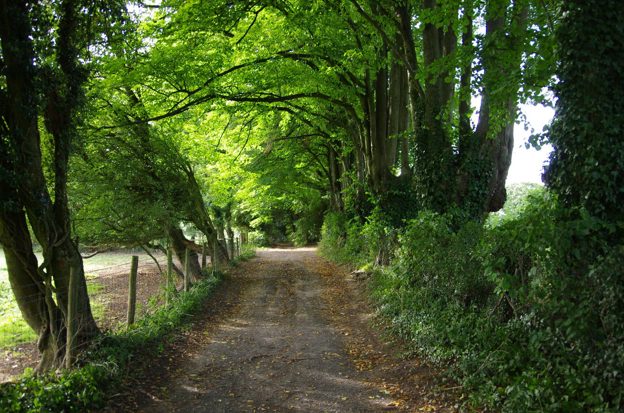
(1) Cobb Lane, Middle Winterslow
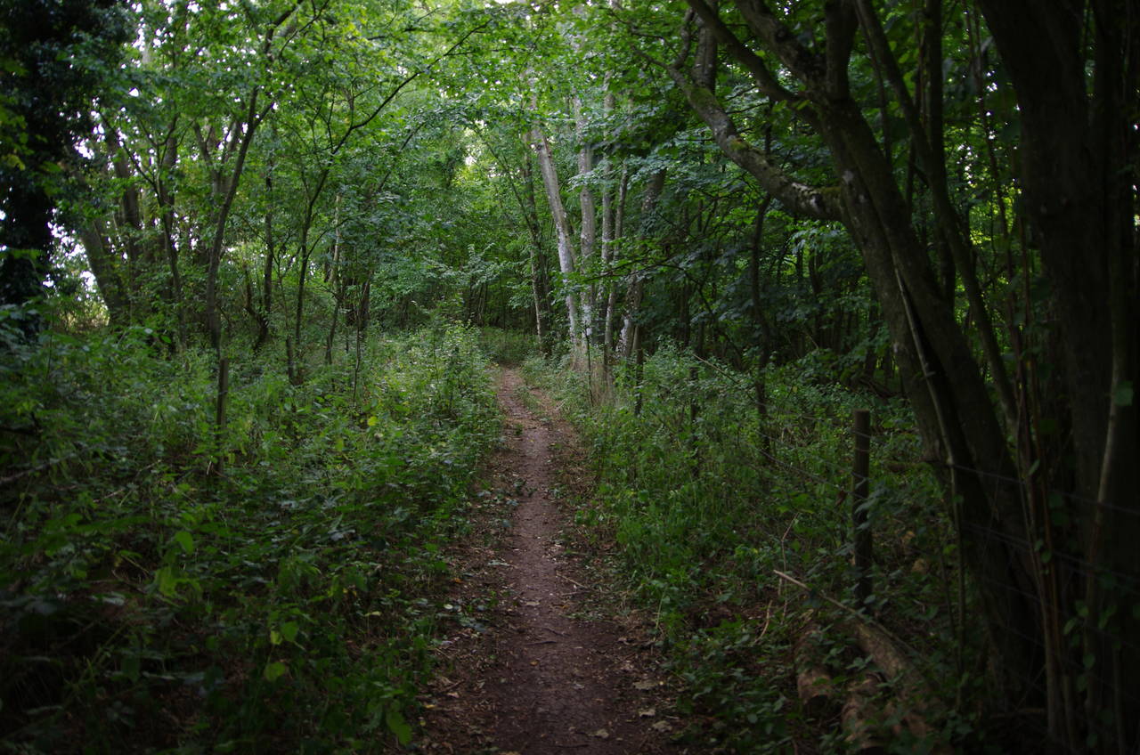
(2) Hare Warren
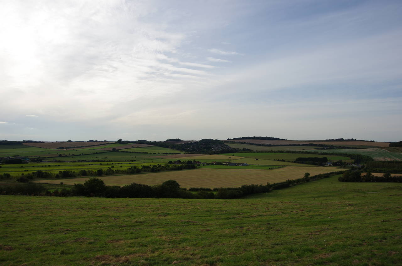
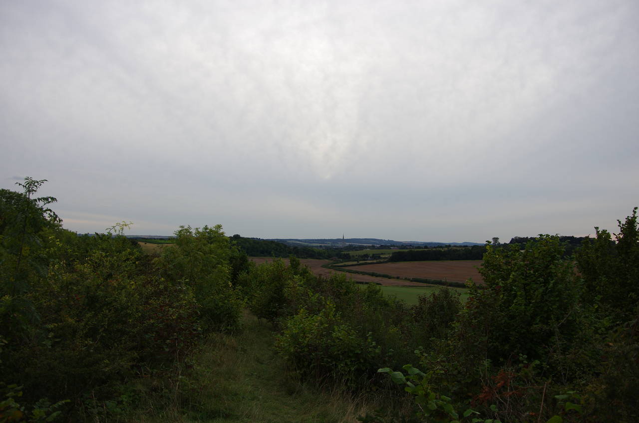
(3) View towards Firsdown
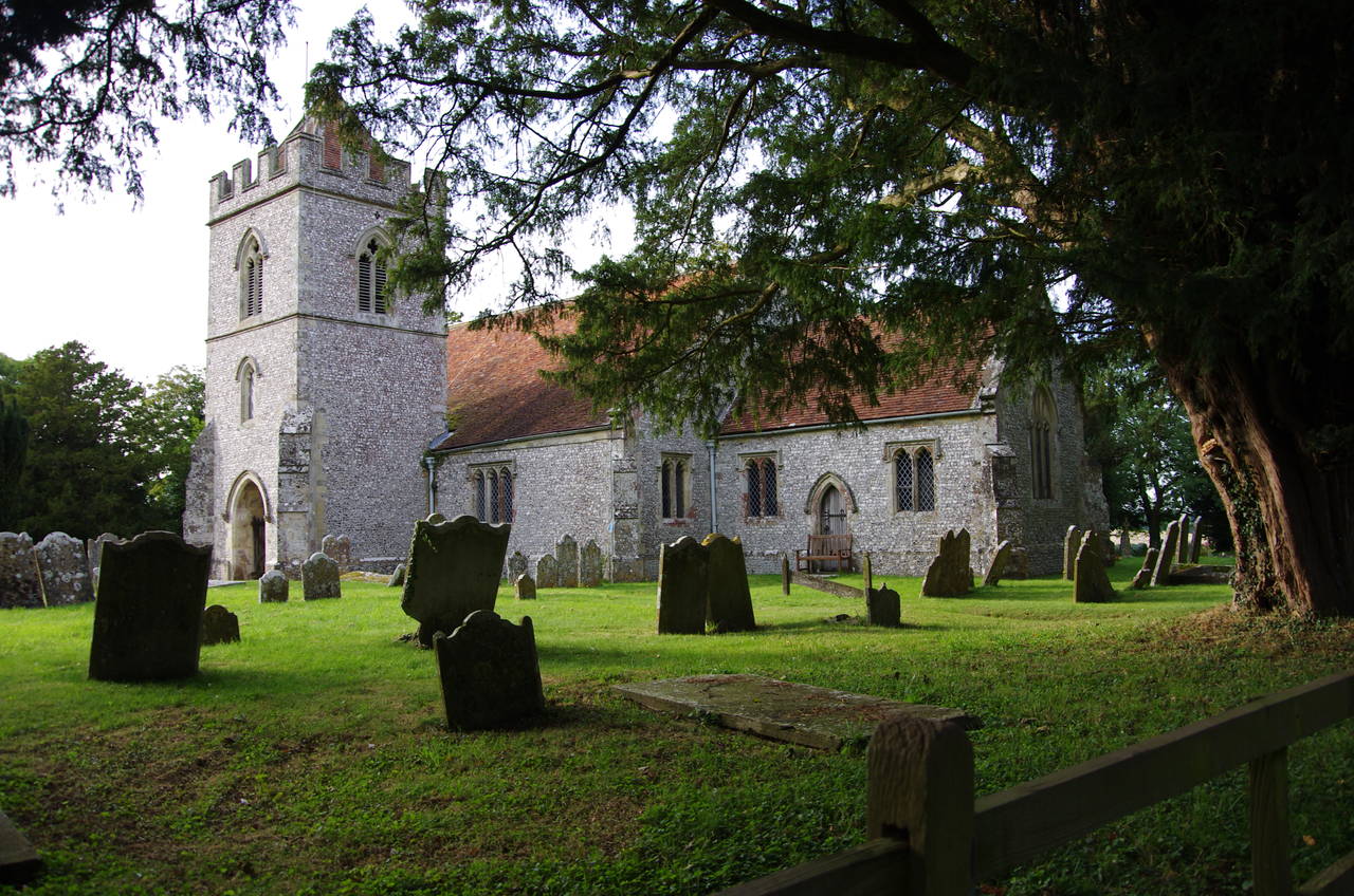
(4) Church of All Saints, West Winterslow
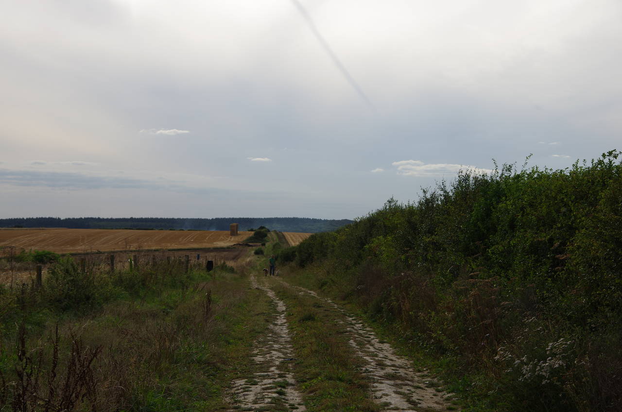
I returned to Middle Winterslow to resume my walk on the Clarendon Way in the mid-afternoon, expecting to cover the remaining distance in about three hours. After stocking up on supplies at the Winterslow Central Stores, I set off along Middleton Road, which soon forks. Bearing slightly left, the Way follows The Flood then turns left at a junction, briefly on Roman Road then going ahead on the unsurfaced Cobb Lane to leave the village (picture 1).
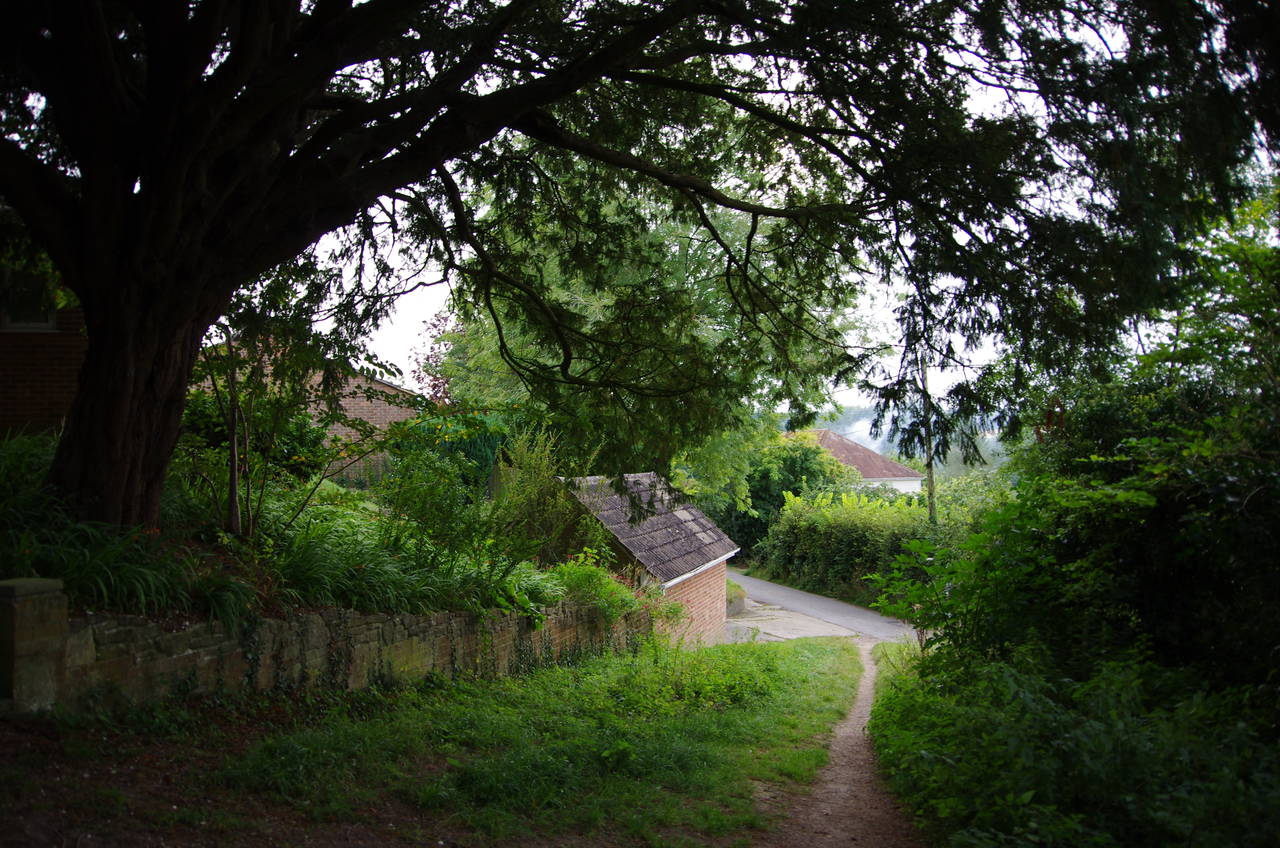
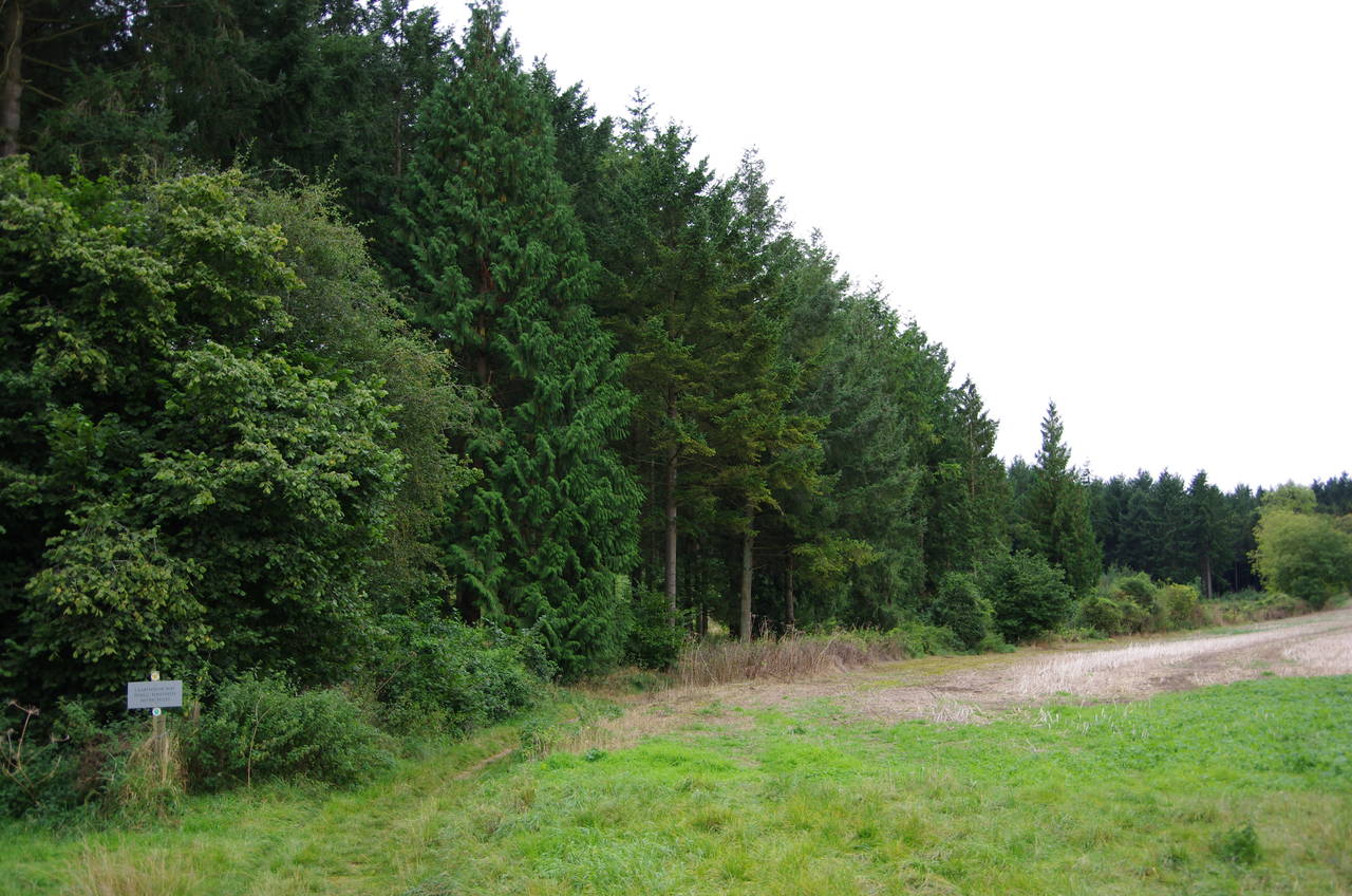
At the end of the lane, the Way turns left to head through an area of woods known as Hare Warren (picture 2), soon parting company with the Monarch's Way after sharing it's route since the River Test. Emerging on the other side of the wood, the fenced path bears left across a hillside with good views across the valley to the right towards the village of Firsdown (picture 3).
Beyond a metal kissing gate, the path passes by part of a cemetery before two more gates lead to a path past the Church of All Saints (picture 4) on the edge of West Winterslow and down the church's driveway to The Street.
(5) Track towards Pitton
(6) The Green, Pitton
(7) Cottage on White Hill, Pitton
(8) Pitton Copse
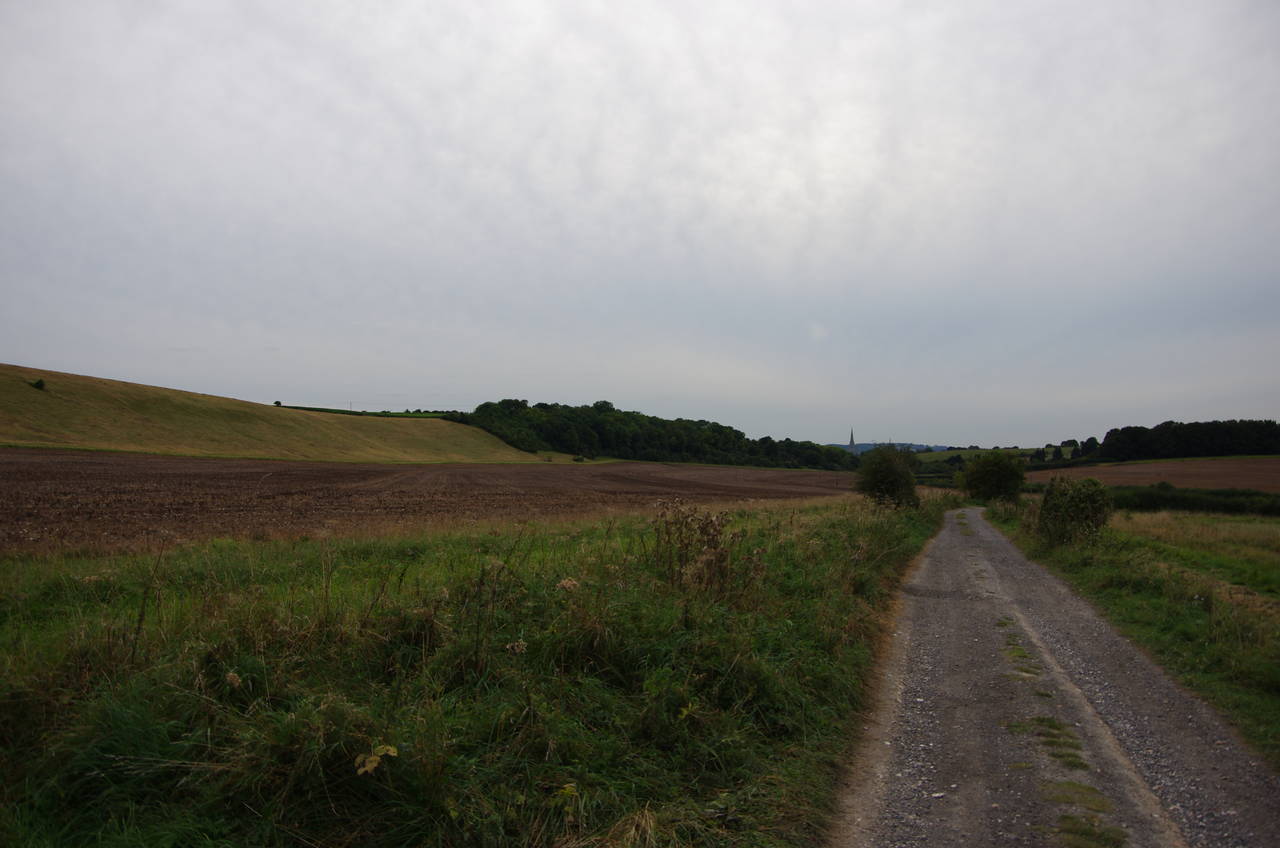
The Clarendon Way crosses The Street into Back Drove, an unsurfaced vehicle track which is followed downhill along the edge of the village for about 250 metres before the Way turns right onto another farm track. This is followed straight ahead across undulating farm land (picture 5) for about 1,500 metres, beginning to descend when it heads into a patch of scrub. A few hundred metres above the village of Pitton, the Way bears left onto a narrow path just before the main track bends right.
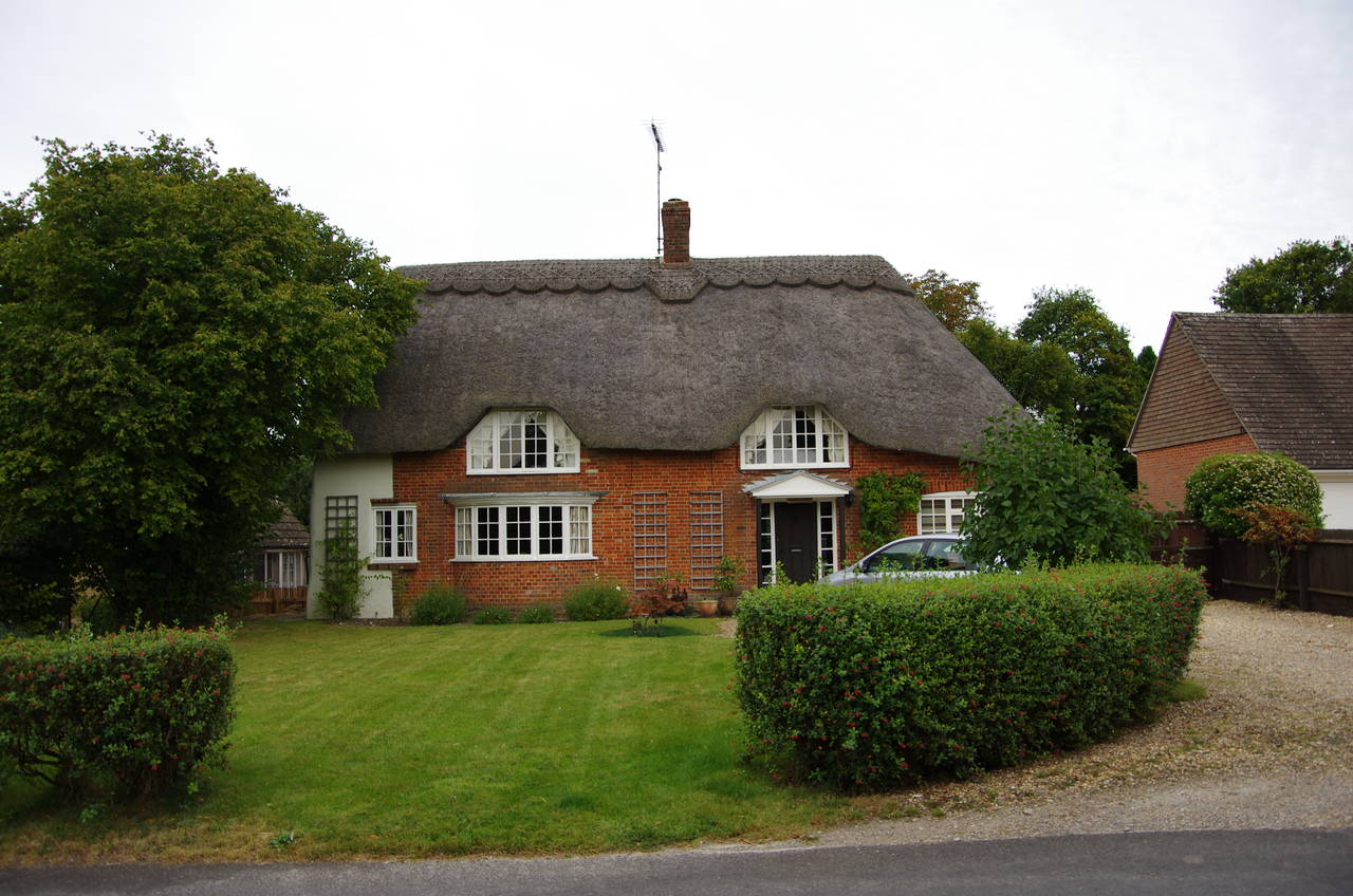
The path soon reaches the edge of the village, descending beside a brick wall to join a lane called The Green (picture 6). The long lane eventually comes to a right turn down White Hill, which passes the Silver Plough pub, the village hall, a Wesleyan church and several thatched cottages (picture 7), before reaching a crossroads where the Way turns left into Slate Way.
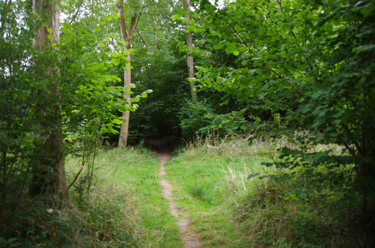
150 metres ahead, beside a small brick pumping station on the edge of the village, the Clarendon Way turns right along the edge of a field, soon swinging left and climbing uphill between fields to the corner of Pitton Copse. The Way continues ahead on a path just inside the northern edge of the woods (picture 8) before emerging and swinging left to pass between a farmhouse and a couple of large sheds.
(9) Fairoak Copse
(10) Warner's Copse
(11) Home Copse
(12) Ruins of Clarendon Palace
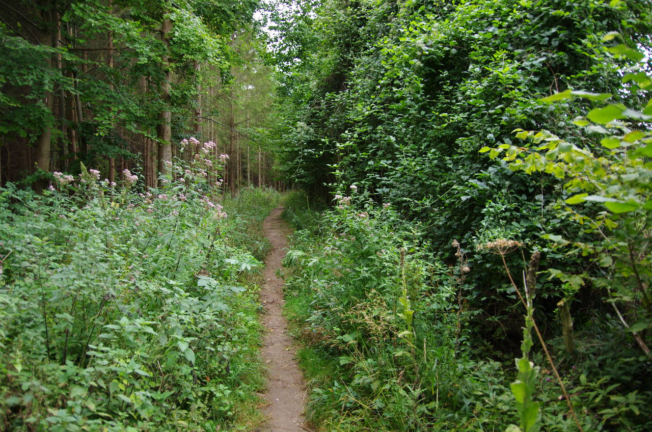
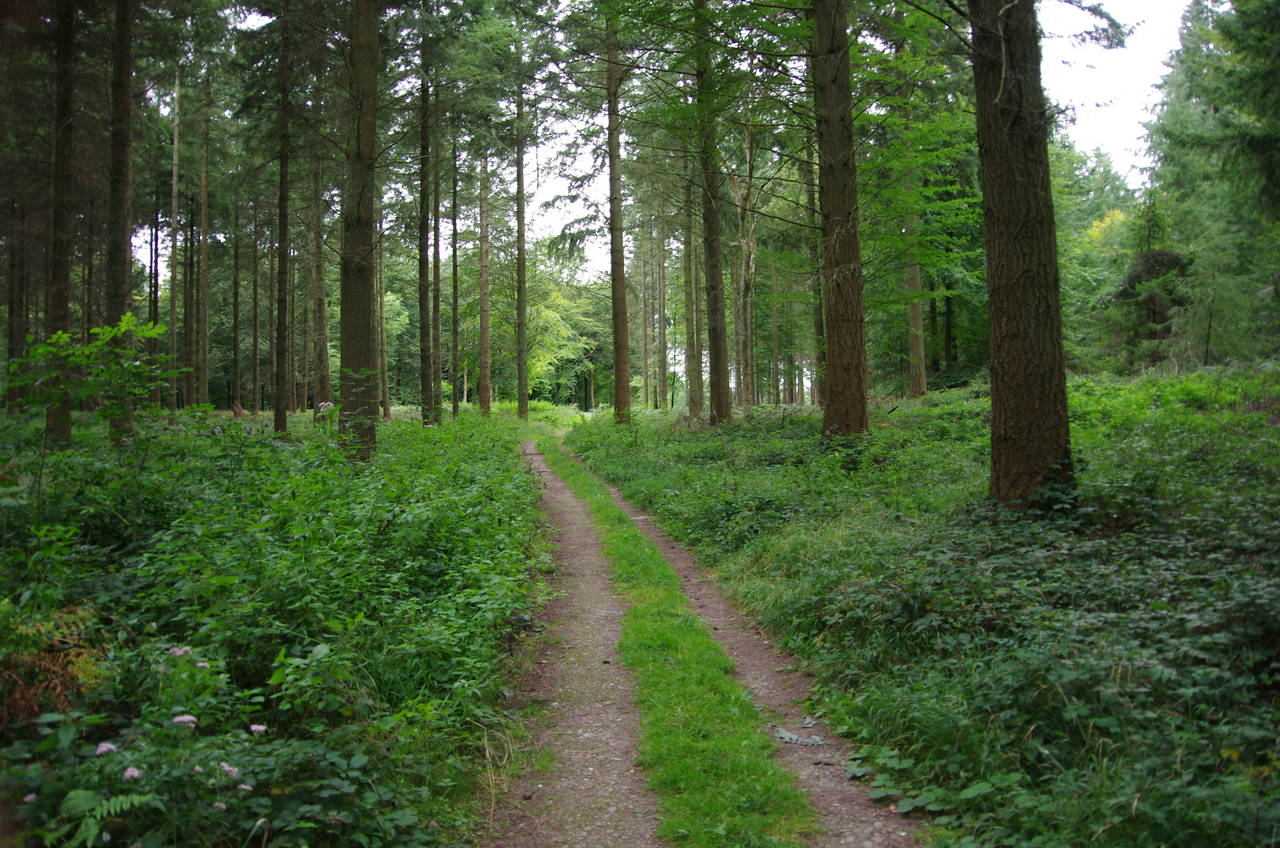
Following a farm track ahead past a field, the Way soon heads into the woods of Fairoak Copse (picture 9). For the next two kilometres the Way follows a well worn path ahead through a large patch of forest, Fairoak Copse being followed by Warner's Copse (picture 10) and then Home Copse (picture 11), each with a different type of trees. These were all once part of Clarendon Park, a royal hunting forest in Norman times. There were about half a dozen places in the forest where large piles of recently-felled logs were stacked up beside the path.
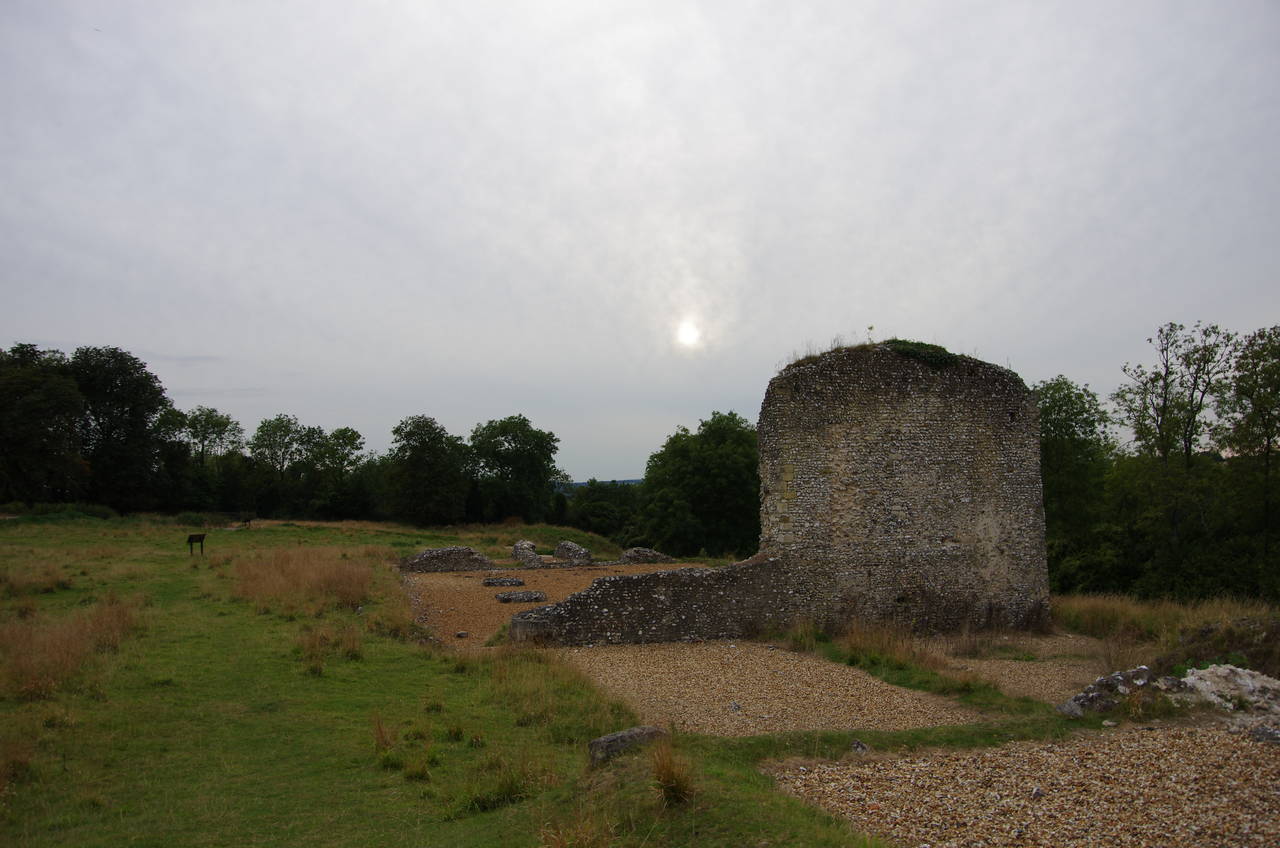
Eventually the path reaches the edge of Home Copse and bears right onto a vehicle track which soon passes by a large field on the right that contains the scant ruins of Clarendon Palace, after which the Clarendon Way is named.
After continuing ahead to path junction and heading right on another vehicle track for 100 metres, I found the way into the field, leaving the Way to wander among the ruins for a little while (picture 12). The palace was a popular royal retreat in medieval times, but now just one section of flint wall and some foundations remain.
(13) View from King Manor Hill
(14) Salisbury Cathedral
(15) King Manor Hill
(16) Ranger's Lodge
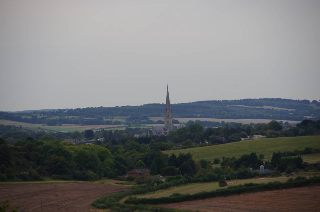
From the entrance to the ruins, the Clarendon Way follows the vehicle track down King Manor Hill through tall, thick scrub. After about 200 metres, a diversion up a very short path to the top of the bank on the right gives access to a lookout with views down towards the city of Salisbury (picture 13), where the spire of the cathedral marks the end of the Clarendon Way, still almost five kilometres away. The contours of the land meant that aside from the cathedral, very little of Salisbury was visible and it looked almost as if the cathedral was alone rather than standing in the middle of a city of more than 40,000 people (picture 14, zoomed).
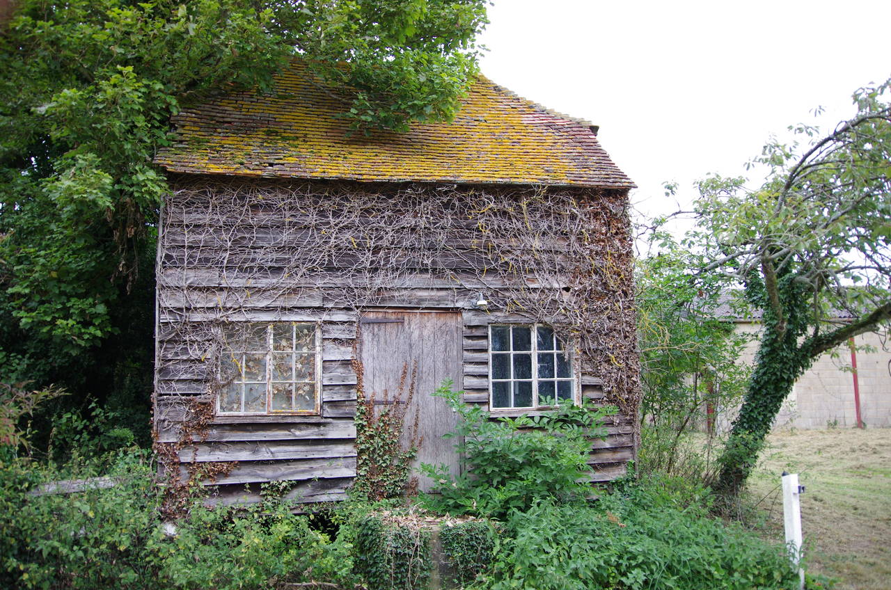
A few hundred metres further down King Manor Hill, the track leaves the scrub behind with the spire directly ahead (picture 15). When the track curves to the right, the Way continues straight ahead across a field until another track, Queen Manor Road, comes in from the right. This is followed downhill through Ranger's Lodge Farm, where a little vine-covered building that I presume to be the Ranger's Lodge (picture 16) stands near a metal gate across the private road.
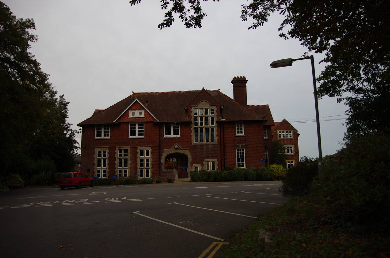
(17) The Godolphin School, Salisbury
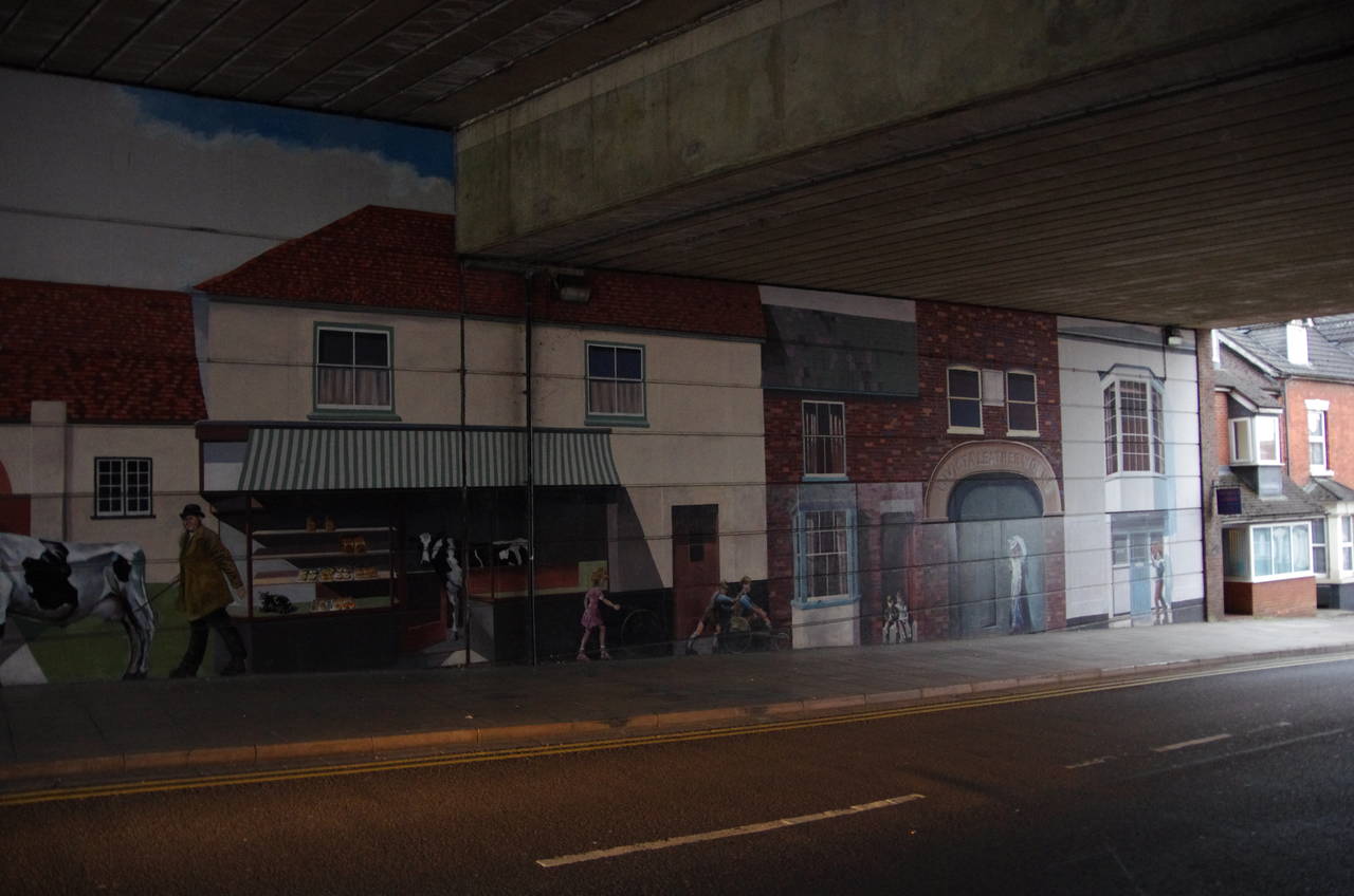
(18) Milford Street Bridge, Salisbury
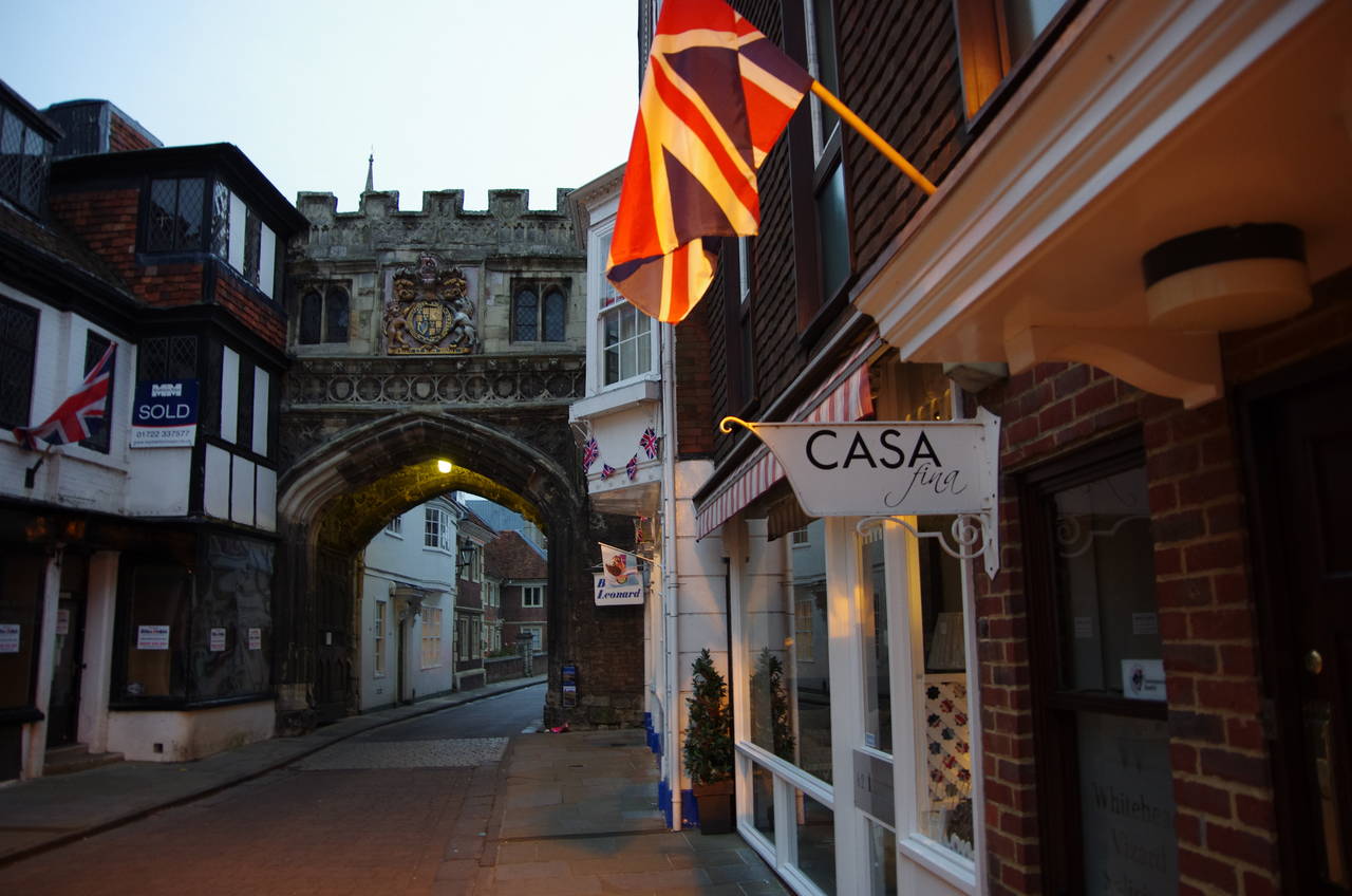
(19) Cathedral Gate
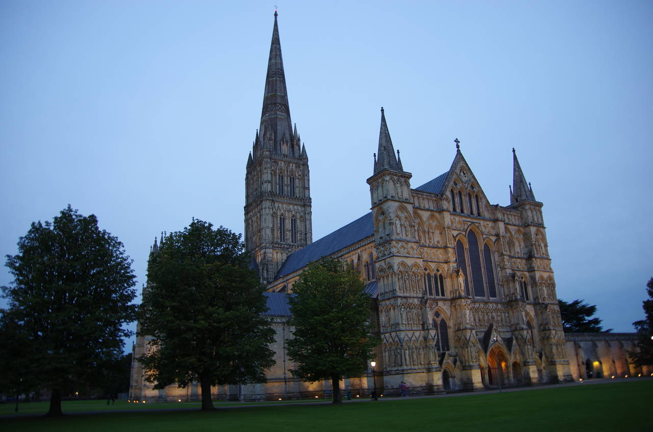
(20) Salisbury Cathedral
Beyond the gate, Queen Manor Road gradually descends to pass the first houses on the edge of Salisbury, going on a little further to a junction where the Way bears right to cross a narrow road bridge over the River Bourne and then continues ahead on Milford Mill Road.
The road ends at a T-junction and the Way continues ahead on a footpath between houses, crossing a footbridge over a railway line and following another enclosed footpath to emerge at a mini-roundabout at the top of Milford Hill, just outside the Godolphin School (picture 17).
The Clarendon Way heads down Milford Hill, crossing Rampart Road and passing under the Milford Street Bridge, which carries the A36 Churchill Way. In 2011, the walls under the bridge were painted with some rather good murals depicting scenes from Salisbury's history (picture 18).
The Way continues ahead along Milford Street, now in the city centre. After four blocks, which are punctuated by a number of lovely old buildings, the Way turns left on the High Street, heading through a medieval gatehouse (picture 19) and into the largest walled cathedral close in Britain. Ahead beyond a number of houses, I reached the official end of the Clarendon Way at a statue by the northern side of Salisbury Cathedral, with my GPS showing 11.4 kilometres walked for the afternoon.
Before heading back into the city centre, I headed across the grass to the right to capture the view of the west front of the Cathedral at dusk (picture 20).