1066 COUNTRY WALK
Stage 2: Hastings Link - Hastings to Doleham
Friday, July 1, 2011
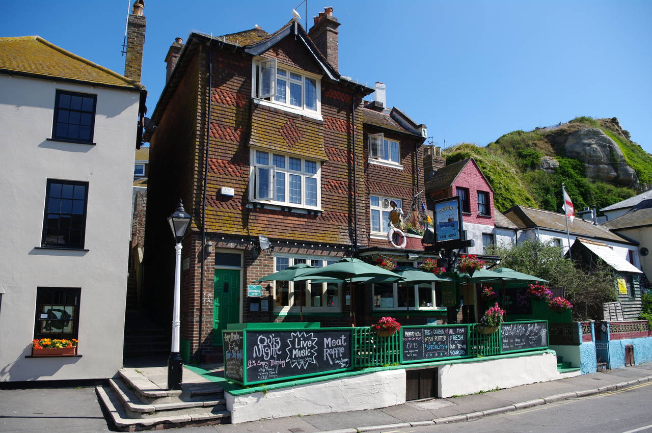
(1) The Dolphin Free House, Hastings
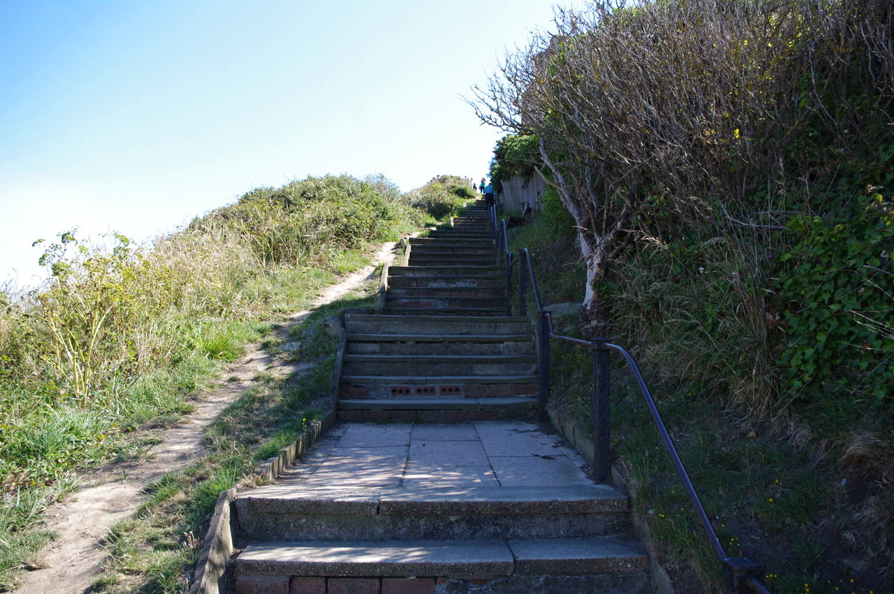
(2) Steps up to East Hill, Hastings
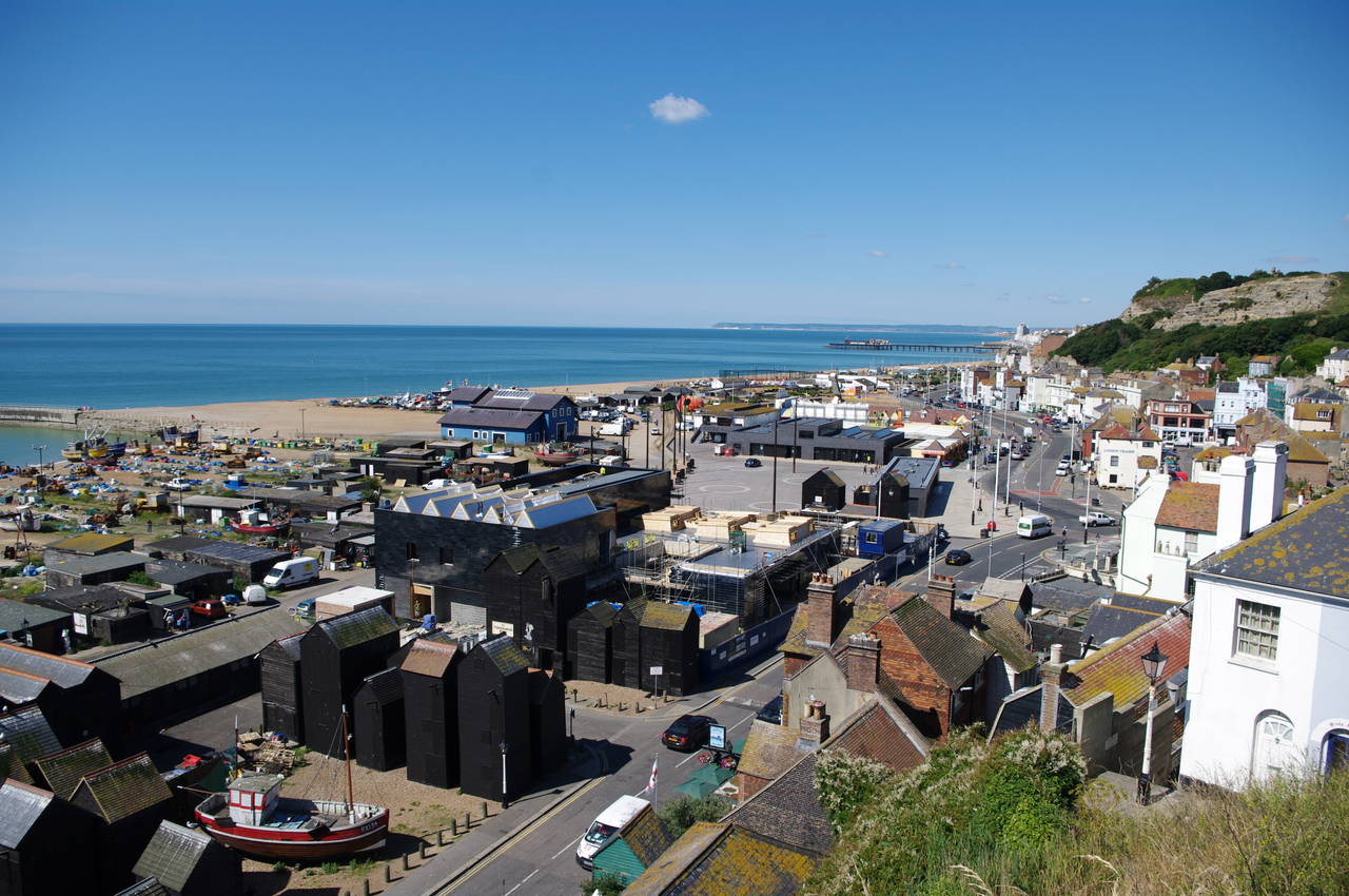
(3) Hastings seafront
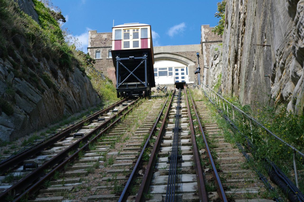
(4) East Hill Lift (June 29, 2011)
The twelve kilometre 1066 Country Walk Hastings Link connects the seaside town of Hastings to the main route of the 1066 Country Walk near the hamlet of Doleham. The walk begins at the cluster of tall fisherman's huts by Rock-a-Nore Road on the seafront near the Hastings Old Town -- the same place where the Saxon Shore Way ends its 257 kilometre journey around the coast from Gravesend in the Thames estuary.
The walk crosses the road and climbs the narrow Tamarisk Steps to the left of the Dolphin pub (picture 1). At the top of the steps the route heads along a road for a few metres before climbing a much longer series of steps which curves around the side of East Hill (picture 2). About half way up I stopped to catch my breath and admire the view over the seafront, with its fishermans' huts and boats, and on to Hastings Pier and across Pevensey Bay to the tall white cliffs of Beachy Head clearly visible on the horizon almost thirty kilometres away (picture 3).
The steps eventually emerge onto the top of East Hill next to the small building at the upper end of the East Hill Cliff Railway, a much more relaxing way to reach the top of the hill, which I had ridden a couple of days earlier (picture 4).
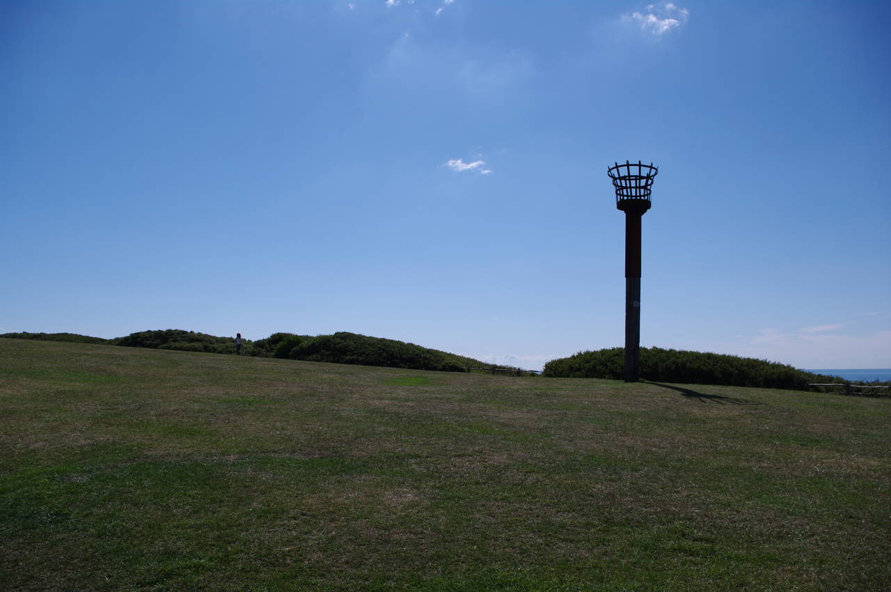
(5) Beacon on East Hill
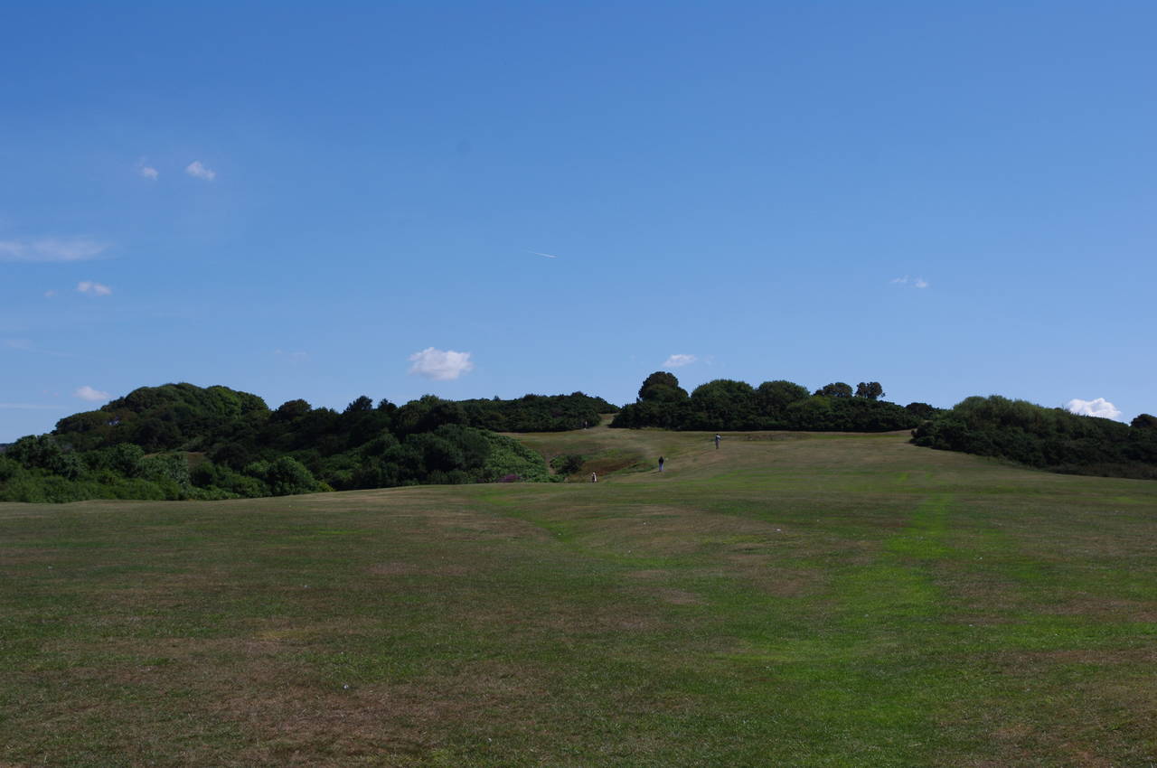
(6) East Hill
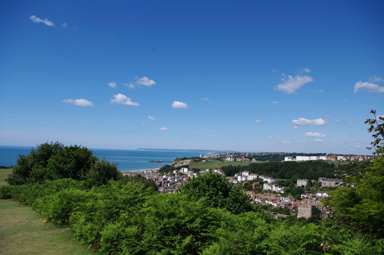
(7) View over Hastings from East Hill
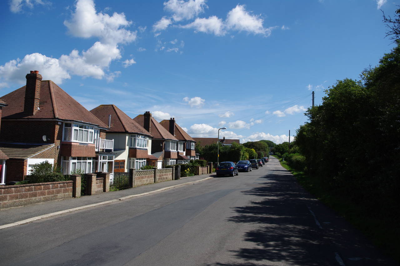
(8) Barley Lane, Hastings
The walk continues a little further along the path, passing a beacon (picture 5), and then out across the left edge of the grassy hilltop (picture 6) from which there are good views over Hastings Old Town and across to West Hill (picture 7).
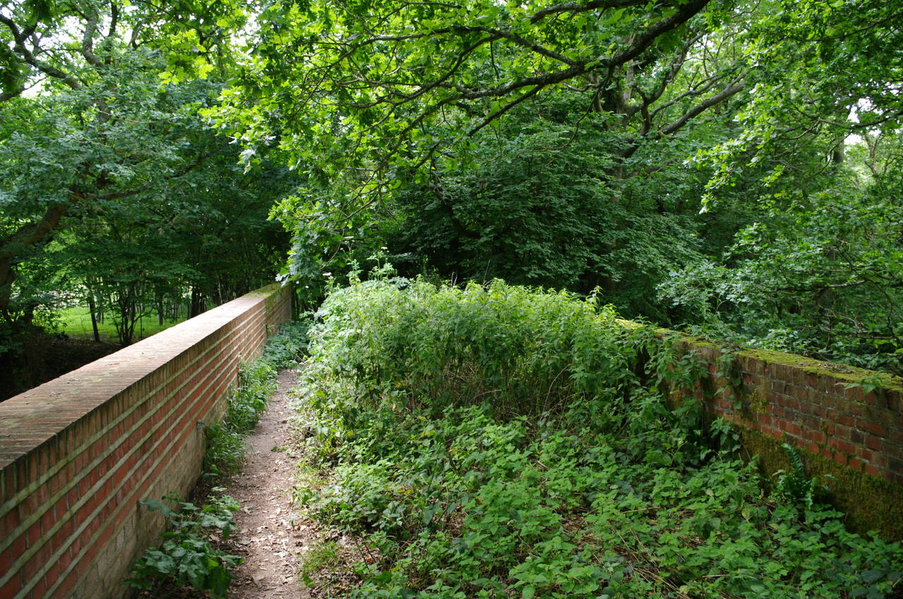
The path generally keeps to the left edge of the hilltop, passing between several clumps of trees, one of which hides the remains of an ancient Iron-age settlement, and then passing by a rather more modern toilet block on the edge of a more open area. About a hundred metres later, an information board and a post bearing a waymarker stand either side of an obvious path through the bushes, which soon leads to the quiet Rocklands Lane. The lane heads gradually downhill, passing a large mobile home park before merging into Barley Lane (picture 8).
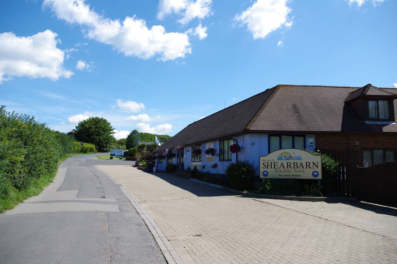
(9) Shearbarn Holiday Park
(10) Barley Lane, Hastings
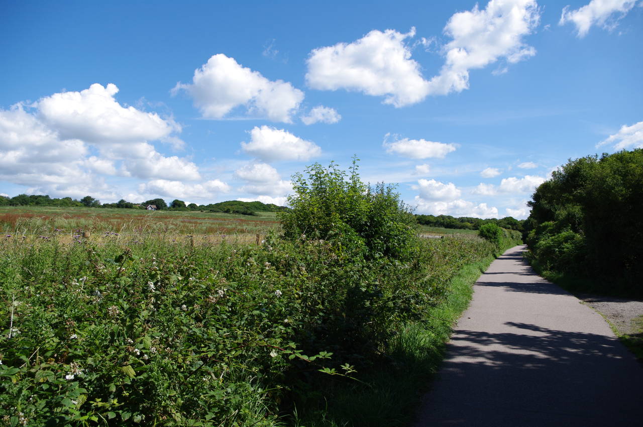
(11) Parallel Paths near North's Seat
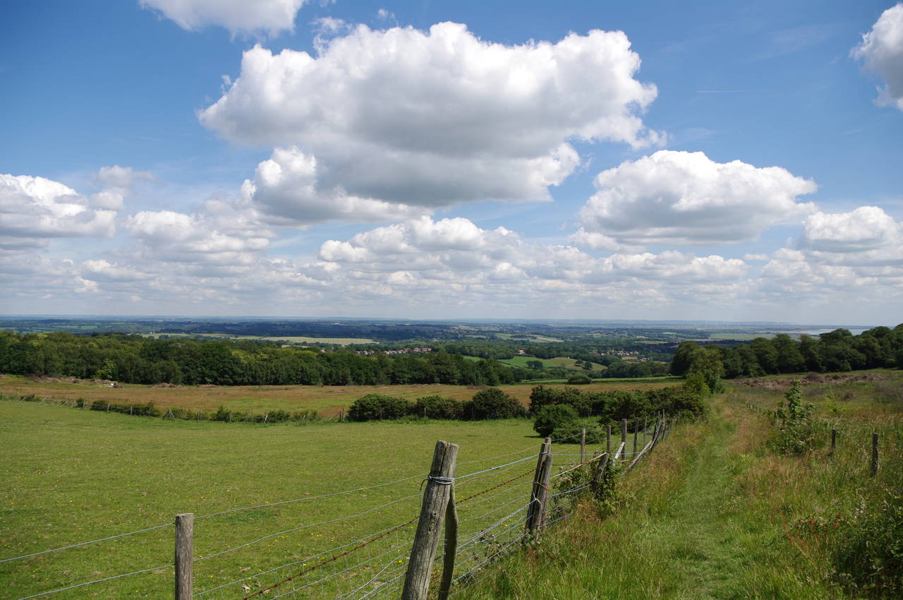
(12) View inland
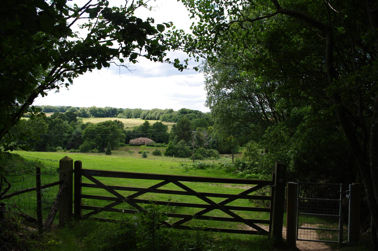
Barley Lane soon narrows, passing by the Shearbarn Holiday Park (picture 9), another large collection of mobile homes, before narrowing even further after passing through a metal gate and along the edge of Hastings Country Park (picture 10). About one and a half kilometres after joining Barley Lane, the path turns left at a T-junction and soon emerges from between two cottages onto Fairlight Road, opposite a picnic site.
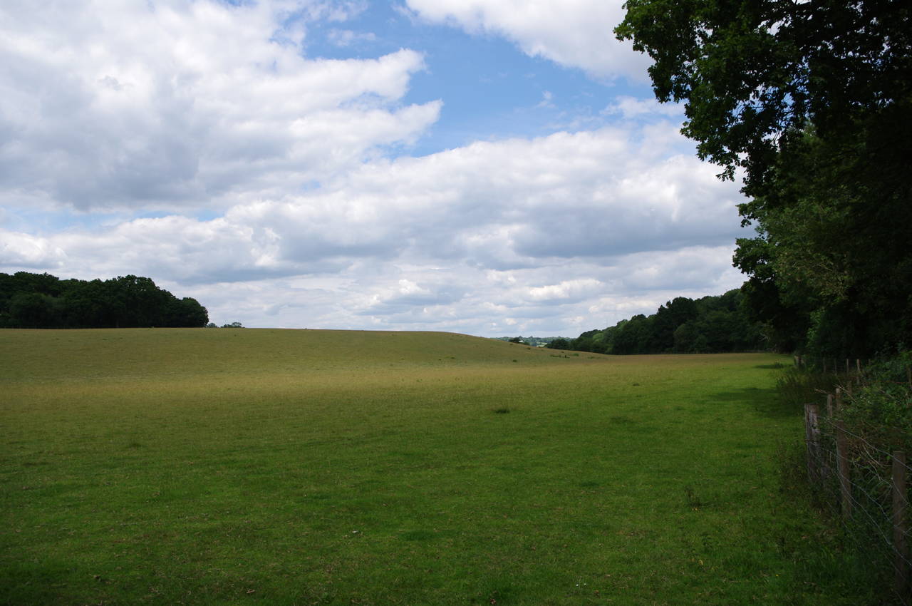
Across the road and a few metres to the left, the path passes through a wooden gate that is partly hidden by trees and heads out across the middle of a large meadow to reach another wooden gate on the far side (picture 11). There were actually two paths here, on either side of a wire fence; the one on the right is a bicycle path, though a couple soon came up behind me and struggled to get their bikes through the wooden kissing gate on the pedestrian path. About twenty metres later, the route turns right through a gap in the fence and crosses over the bike path to head downhill on a grassy path between two wire fences, with good views over the surrounding countryside (picture 12), crossing over Martineau Lane after about five hundred metres.
(13) Path towards Humphrey's Farm
(14) Waymarker
(15) Path across fields near Friar's Hill
(16) View towards Lower Cherry Garden Farm
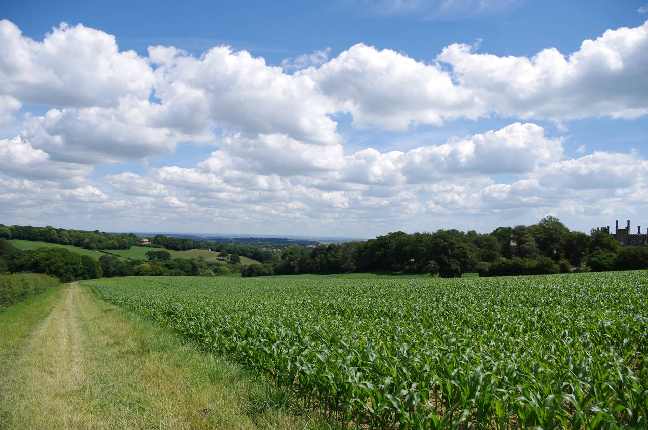
The path continues to descend gently down the shady right edge of a field where some kind of leafy crop had recently been planted. Part of the way down the field, a post near a stile on the right bears a waymarker pointing left across the field, where another waymarker post, supported by a large pile of rocks, points right to continue descending down the other side of the field, with Humphrey's Farm visible ahead on the other side of the shallow valley (picture 13). The signposted route here seemed to differ slightly from the route on the Ordnance Survey map, which crosses diagonally through the crop, but the end result was the same.
Further down the hill, a line of trees and bushes separate this field from the next. About half-way along it is a small gap through which the route passes, but I initially failed to notice this and instead reached a dead end at the bottom of the field. Unfortunately, the only waymarker is on the other side of the trees, so I'm sure I'm not the only person to make this error.
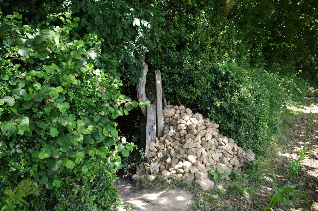
Having found may way back onto the correct path, I descended diagonally across the next field to another waymarker post supported by a pile of rocks (picture 14). The path then heads through the trees, crossing a couple of wooden footbridges before crossing a small overgrown field and a farm track to a metal kissing gate on the edge of a larger field which occupies the side of a hill.
The waymarker on the gate suggests that the route bears left towards the top of the hill, but this is misleading as the correct route heads across the side of the hill (picture 15), keeping at the same height, to reach a waymarked metal gate. Crossing the next field to an identical metal gate, there were good views across the valley to Lower Cherry Garden Farm (picture 16). From this gate, the path bears left up the hill to yet another metal gate in the trees at the field edge.
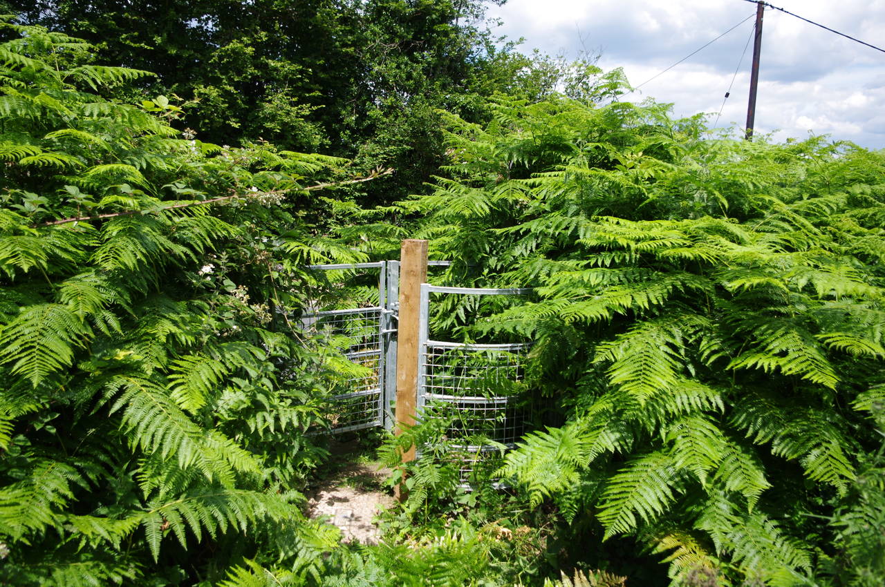
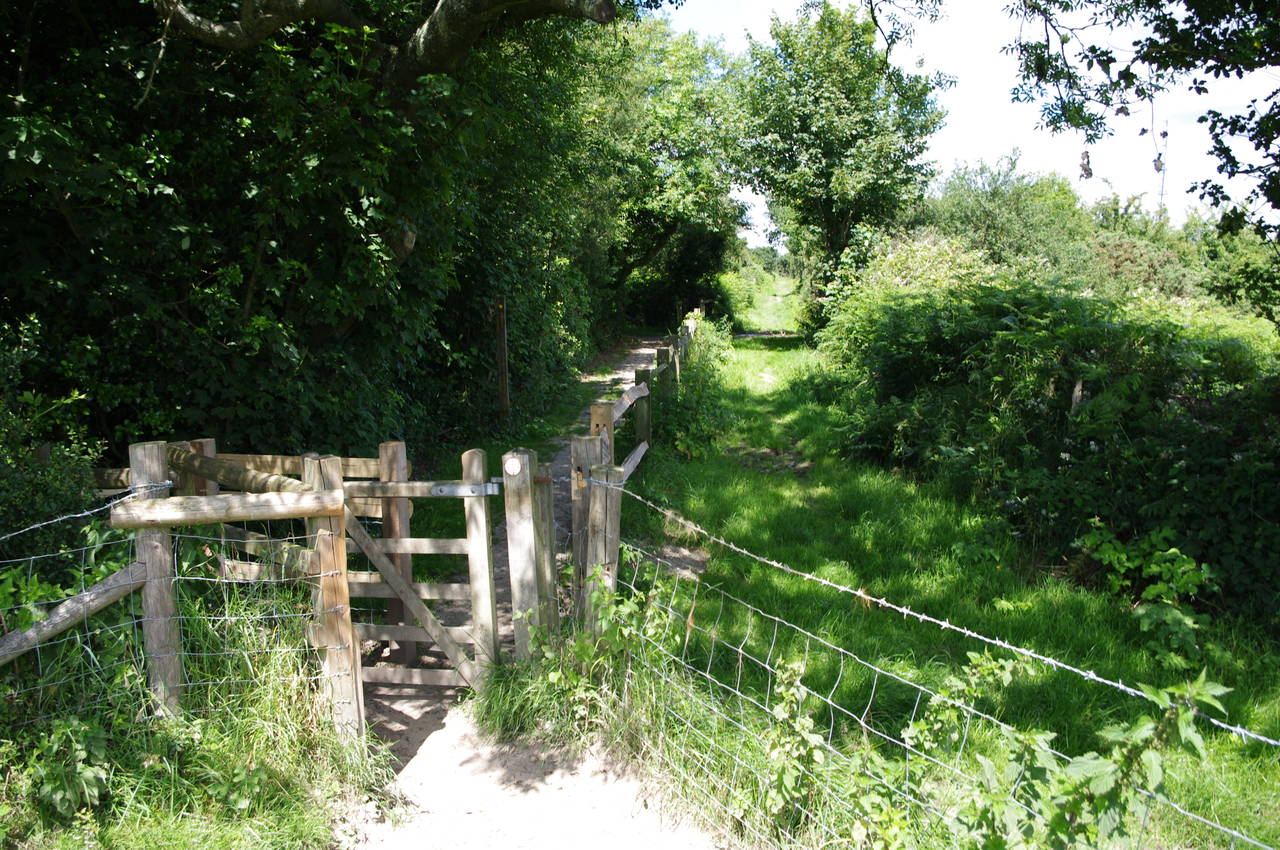
(17) Well-hidden kissing gate, Friar's Hill
(18) Friar's Hill
(19) Guestling Wood
(20) Wasp nest, Guestling Wood
The route crosses over the crest of Friar's Hill and down to the lower corner of the field, where the metal kissing gate that leads out to Pett Road was very well hidden by tall ferns (picture 17). The path follows Pett Road to the right past the houses of Friar's Hill (picture 18), turning left into Chapel Lane just beyond the last house.
Almost immediately, a signpost points to the right along the edge of Glebe Wood. After about 300 metres, the path crosses Church Lane near a lone white house and climbs a few steps to follows a driveway until a waymarker post on the right takes the path into a field and on towards an unmarked wooden gate about half way along the left edge, where the route turns ninety degress to the left.
About twenty metres later the next gate has a waymarker confirming the route, which continues ahead along the left edge of the next field until a gate in the corner of the field leads into Guestling Wood (picture 19). Not far into the wood I passed by a large wasp nest clinging to a tree about three metres up. Fortunately, I didn't encounter any of its residents.
(21) Church of St Laurence, Guestling
(22) Freysland Wood
(23) Approaching Three Oaks
(24) Path near Three Oaks
The path through Guestling Wood gradually curves around to the left and after about five hundred metres the path emerges into a field and climbs towards the right edge of a grove of trees surrounding a pond. Passing the trees, the back of the church of St Laurence comes into view ahead (picture 21), and the path passes through a kissing gate into the churchyard and along the left side of the church to the lych gate in front of the church. Through a gap in the hedge opposite, a narrow enclosed path runs beside Church Lane to reach the A259, where a footpath on the other side of the road leads to the right for around two hundred metres to a signpost that points to the left along a wide path through Freysland Wood (picture 22).
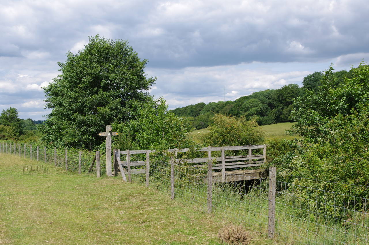
Leaving the wood via a wooden kissing gate, the path runs beside a hedge on the right edge of two consecutive fields, before bearing left diagonally across a third field towards the rooftops of the village of Three Oaks (picture 23). Reaching a road called Butchers Lane, the route heads left and follows the road past houses for about a hundred metres to a right turn into a lane called Sunny Croft, At the far end of the lane a metal kissing gate on the right leads out into a field of long grass where the route takes the leftmost of several paths over a low ridge and then downhill towards a signpost at the field boundary (picture 24), where the path bears slightly right through a band of trees.
(25) Overgrown bridge
(26) Path near Doleham
(27) Path beside Doleham Ditch
(28) Path meets the main 1066 Country Walk
The path continues ahead across four more fields, following a line of telegraph poles most of the way to a rather overgrown bridge over the Hastings to Ashford railway line (picture 25). The path then descends gently along the edge of woods beside a wire fence to reach a gate where there were good views across the valley ahead (picture 26), though once through the gate the route immediately turns sharply to the right over a stile to follow a broad track through the woods until a signpost points off to the right through a metal gate bearing a sign stating "Bull in field".
On this day at least there was no bull, so I went through the gate and followed the path as it wound its way along the left edge of the field to the first of several stiles on an overgrown path between wire fences that leads to a wooden footbridge over the Doleham Ditch. The path then follows the course of the Ditch along the right edge of a large sloping field (picture 27) for about five hundred metres to reach a second footbridge, where the Hastings Link meets the main route of the 1066 Country Walk (picture 28).
From here, I retraced my steps of the previous day and followed the main route for a little over two kilometres to the town of Westfield, where I caught a bus to Rye and spent the afternoon exploring the cobbled streets of the ancient town.